

- 9 Items Experienced Skywatchers Bring Along That Beginners Always Wish They’d Packed - November 12, 2026
- I Moved to Tornado Alley in Oklahoma – 7 Things I Did Not Anticipate About Storm Season - November 12, 2026
- VR tool shows how rising seas could flood Fort Lauderdale - November 12, 2026
Florida Atlantic University and its partners have released a virtual reality experience that lets people see Fort Lauderdale under water, or at least under the kind of water that future scenarios describe. It’s called Flooding Explorer: Fort Lauderdale. FAU announced it on Oct. 27, and the tool uses a 3D model of the city to show how tides, storms and rising seas could play out.
The aim isn’t to frighten people. Researchers want to turn abstract projections into something residents can walk through, street by street. Here’s what the tool does, who built it, and what it says about flood risk in a city that’s already dealing with it.
What Flooding Explorer Actually Is
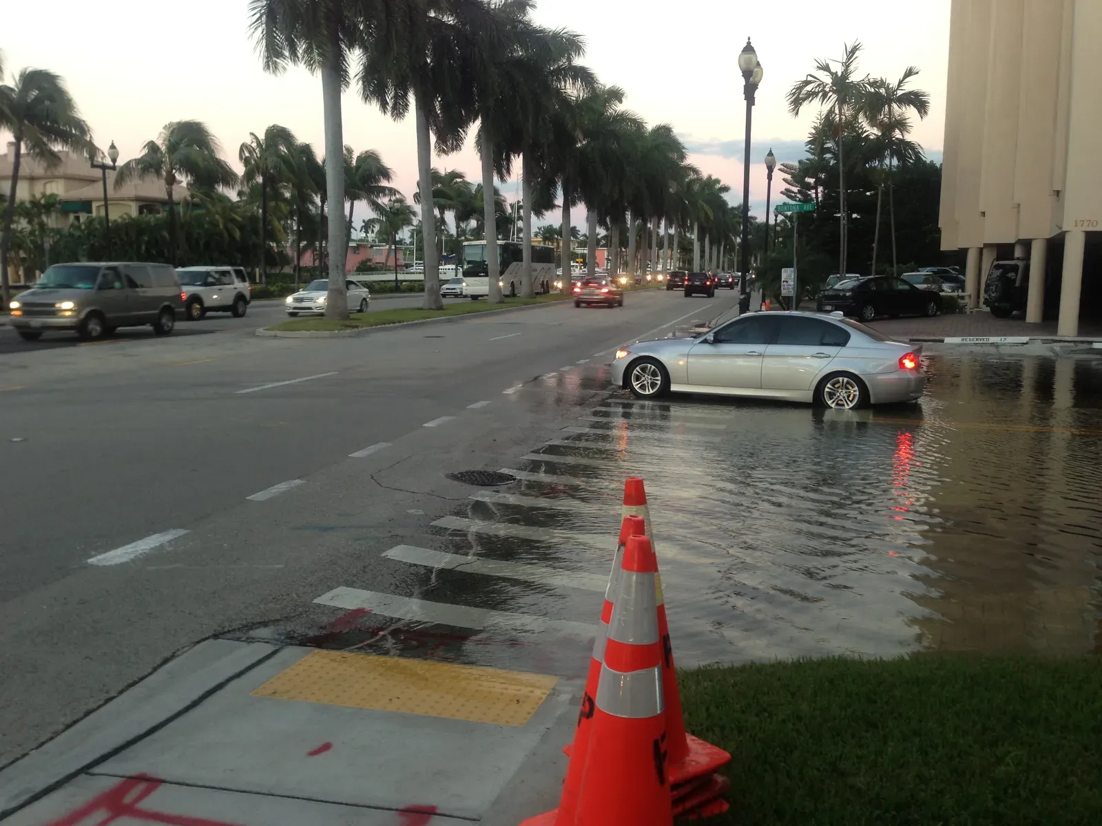
Flooding Explorer: Fort Lauderdale is an immersive VR experience that shows how king tides, heavy rainfall, storms and sea level rise can affect coastal and inland communities. It uses a 3D simulation anchored at the historic Bonnet House Museum and Gardens.
Users aren’t limited to a single viewpoint. They can navigate the city, view aerial perspectives and adjust a slider to compare flooding scenarios. The result feels less like a map and more like a guided tour of possible futures.
The Scenarios It Models
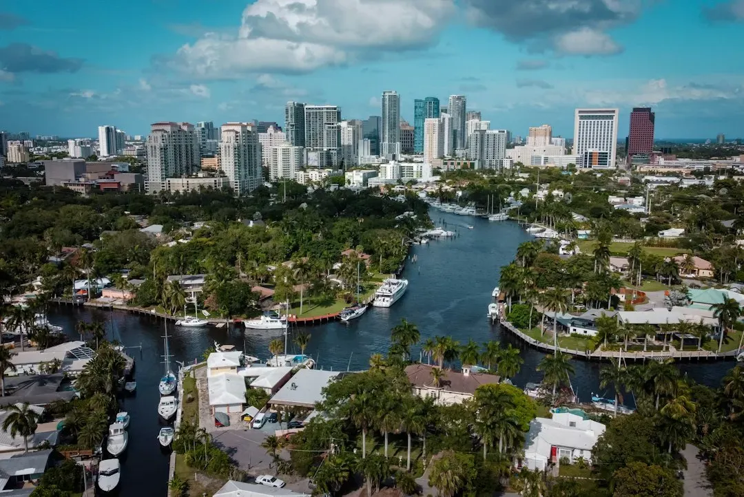
Users can view potential flooding impacts on homes, businesses, historic landmarks and infrastructure under different scenarios, including 3, 4 and 5 feet of sea level rise. That range lets people compare how conditions change as water levels climb.
The tool also looks at today’s conditions. It shows how a five-year storm could flood streets and neighborhoods under current conditions. So the experience isn’t only about the distant future. It also shows how exposed the city already is.
Inland Neighborhoods Aren’t Spared
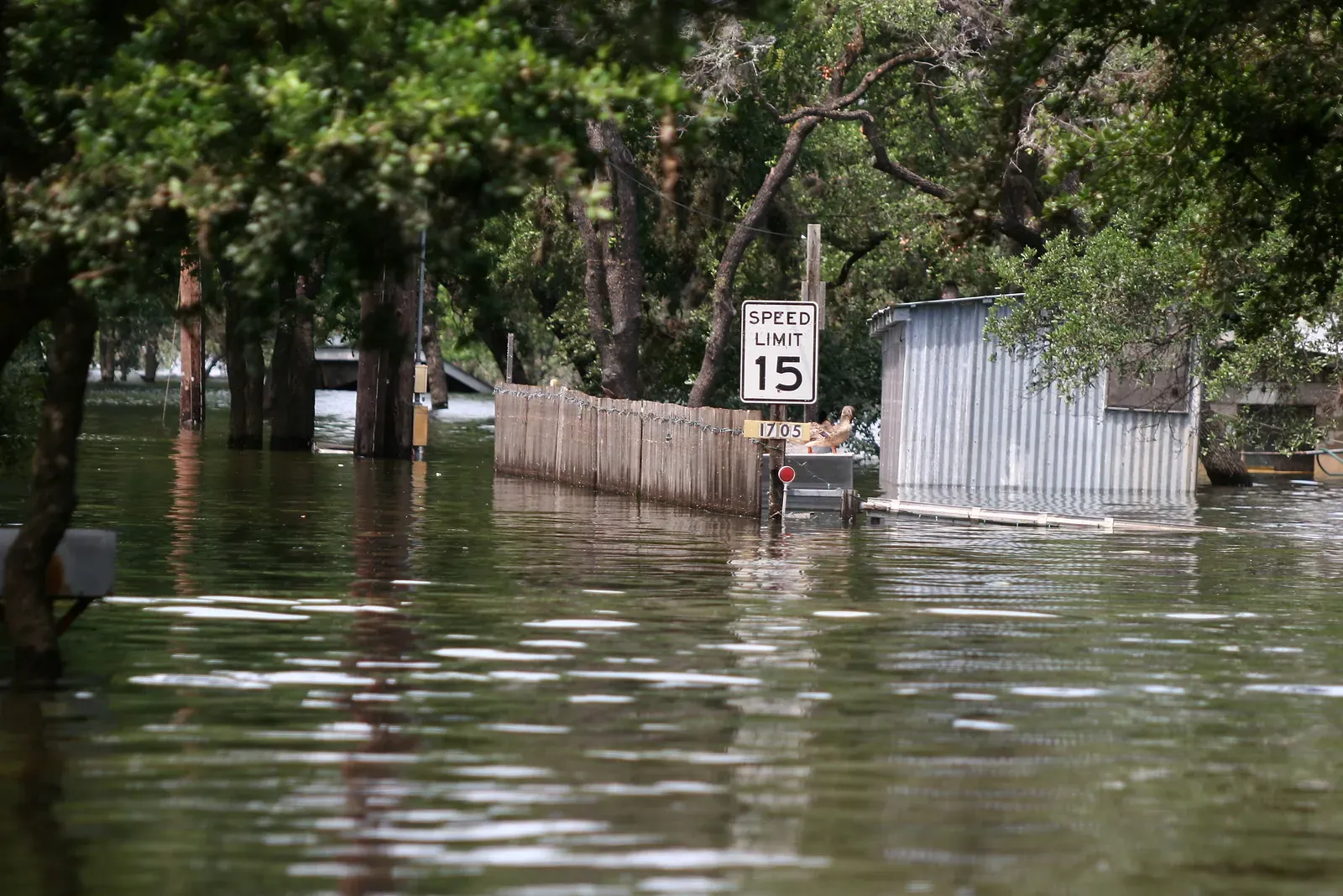
One of the tool’s key messages is that flooding isn’t just a beachfront problem. FAU’s own framing asks how a king tide or sudden downpour could flood neighborhoods far from the beach. The project’s page says users can visit multiple locations around the city, including inland neighborhoods.
Media coverage of the launch echoed this. A report noted that the simulation gives the viewer a slider to raise and lower flood levels, and various stages show even inland neighborhoods largely inundated. That’s a useful reminder for residents who assume distance from the water means safety.
The Science Behind the Data
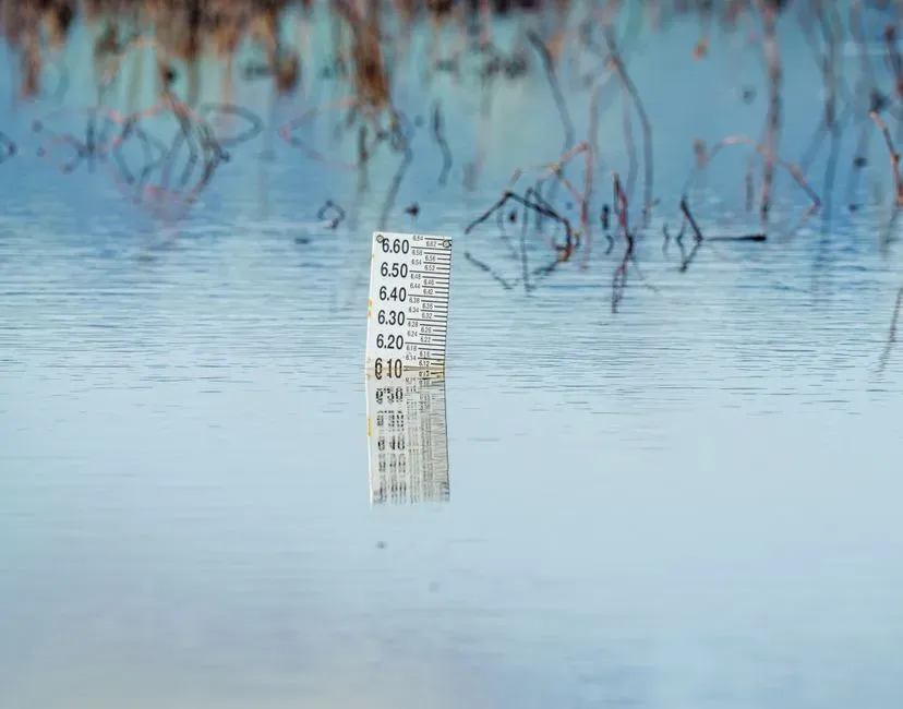
Fred Bloetscher, a professor and associate dean at FAU’s College of Engineering and Computer Science, led the project’s data collection. He said the data came from multiple sources, including tide gauges and water management districts. He also said the team’s data showed a “greater potential for flooding in coastal areas” in South Florida.
Bloetscher described a tipping point in practical terms. He said that somewhere between two and three feet of sea level rise, the situation goes from manageable to needing something completely different. That’s one researcher’s assessment, but it explains why the tool focuses on levels beginning at three feet.
Why King Tides Matter
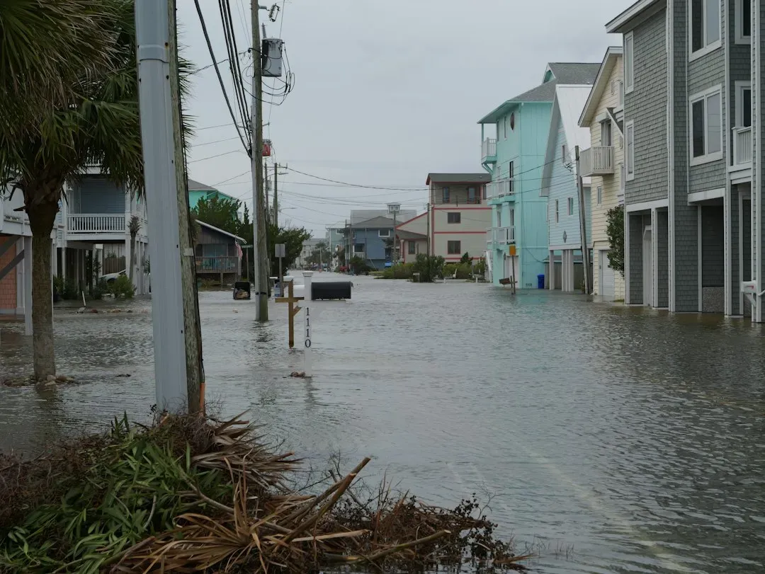
King tides are the highest tides of the year. Tidal flooding, also called sunny day flooding, is the temporary inundation of low-lying areas during exceptionally high tide events. These floods usually pose limited risk to people, but they strain drainage and other infrastructure.
The release timing was deliberate. FAU’s release coincided with Fort Lauderdale’s seasonal king tide period. Project lead Hoermann said recent king tides have provided an example of how waters might rise in the future.
A City That Has Already Seen Severe Flooding
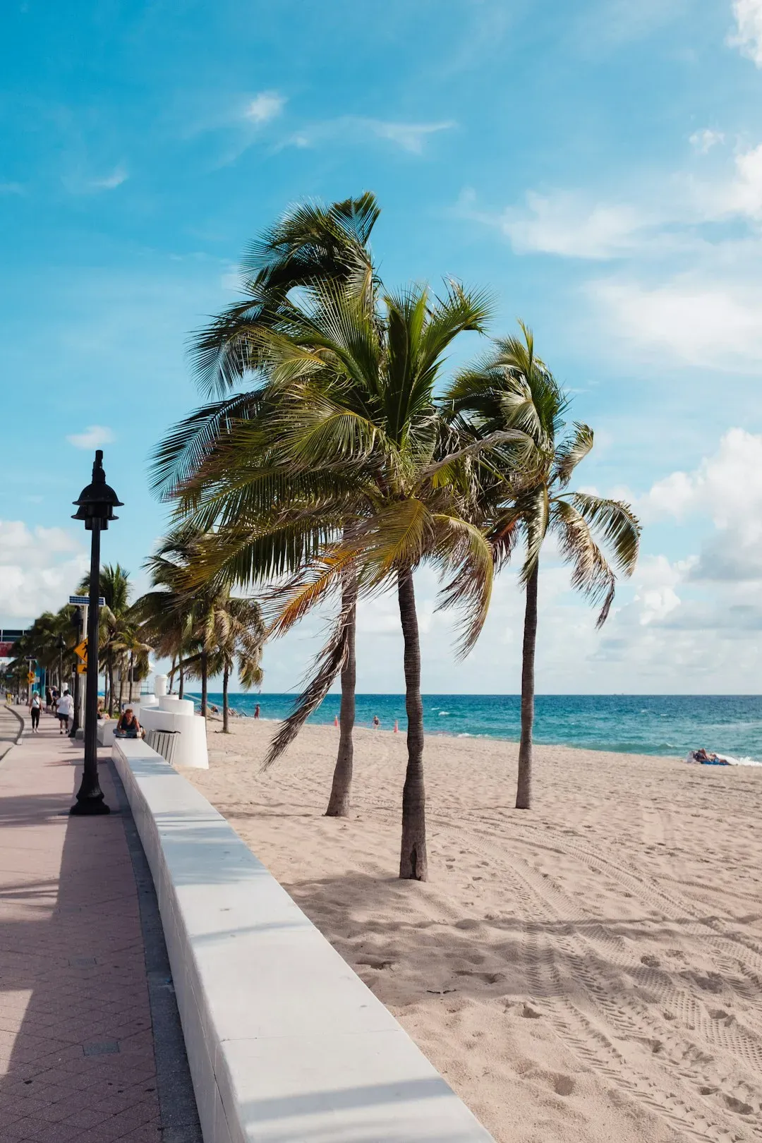
Fort Lauderdale isn’t speculating about heavy water. In April 2023, the area reported 25.6 inches of rain within about 12 hours. The mayor issued a state of emergency.
That event was rainfall driven, not sea level driven, but it shows how fast drainage can be overwhelmed. Streets remained impassable the following day because of slow drainage. Higher seas can make that worse, since they leave less room for stormwater to drain.
Solutions Built Into the Experience
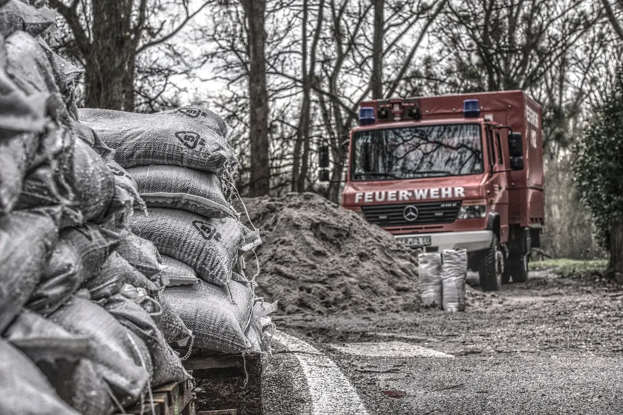
The tool doesn’t stop at showing problems. It highlights ways to reduce flood risk, including improved drainage, pumping stations, elevated seawalls, wetland restoration and green infrastructure.
The city already has some of these in place. Fort Lauderdale has installed over one hundred tidal valves since 2013. The VR experience lets users compare how adaptation measures might change what they see.
Access and Where to Try It
You don’t need a headset. The experience is available in English and Spanish, includes closed captions, and has a web-based version. The web version opens directly in a browser.
It was also showcased in person. Organizers invited visitors to try it at the 18th Annual Southeast Florida Climate Leadership Summit, held November 4 to 6, 2026, at the Broward County Convention Center. Those wanting to try it can find it through FAU’s announcement and the project site.
Conclusion
Flooding Explorer turns sea level projections into a visual tool that shows where water could go, and what might help. Its scenarios are illustrative, not predictions of exactly when any level will arrive. Still, as Hoermann put it, seeing what water in our streets could look like helps people understand the need to act.
Seeing a familiar street underwater tends to make the numbers stick, and that may be the tool’s greatest strength.
