


- Phantom Energy Sucking Power 24/7 – 7 Home Electronics Quietly Inflating Utility Bills - November 14, 2026
- A Million-Mile Storm Raging for Centuries – 6 Violent Weather Wonders in Our System - November 14, 2026
- Animals Flee Hours Before the Tremor – 7 Natural Warnings Before Disasters Strike - November 14, 2026
Most people choose a city for its jobs, its weather, or its skyline. Few check what’s underneath it. Yet across the United States, a surprising number of large metro areas sit right on top of, or within reach of, active faults.
The list below moves through ten of them, from the famous to the less obvious. Each entry points to the specific fault or fault system involved and to a documented event or finding from agencies such as the US Geological Survey.
San Francisco, California
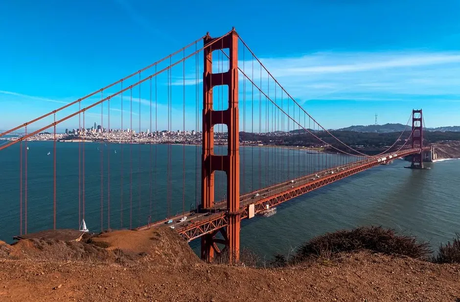
San Francisco sits close to the San Andreas Fault, which runs just off the Pacific coast and down the Peninsula. The city’s defining disaster was the 1906 earthquake, which the USGS estimates at about magnitude 7.9. The shaking and the fires that followed destroyed a large part of the city.
The hazard hasn’t gone away. The Hayward Fault lies across the bay, and the USGS has long treated the Bay Area as one of the most seismically active urban regions in the country. Much of the waterfront also sits on filled land, which tends to shake harder in a quake.
Los Angeles, California

Los Angeles is crossed by a web of faults rather than a single line. The San Andreas lies to the north and east of the basin, while smaller faults such as the Puente Hills thrust fault run directly beneath downtown. That is what makes the Puente Hills system a concern for planners, since it sits under dense development.
The 1994 Northridge earthquake, about magnitude 6.7, struck on a hidden fault in the San Fernando Valley. It caused major damage to freeways, apartment buildings, and parking structures. The event pushed California to revisit building standards across the region.
Oakland, California
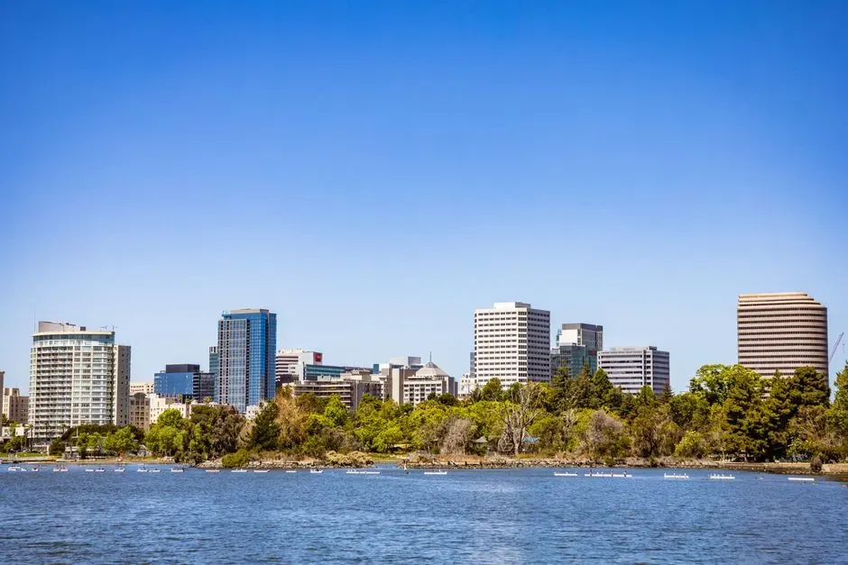
Oakland is built along the Hayward Fault, which runs through the East Bay hills and near the University of California, Berkeley campus. Geologists can see the fault’s slow creep in offset curbs and cracked walls. The fault last produced a major earthquake in 1868, an event once called the “great San Francisco earthquake” before 1906 took the title.
The USGS regards the Hayward Fault as one of the most hazardous in the nation because it runs through such densely populated ground. Retrofit programs for older homes and bridges have grown in the East Bay over the past two decades. The risk is steady, and so is the effort to reduce it.
San Bernardino, California
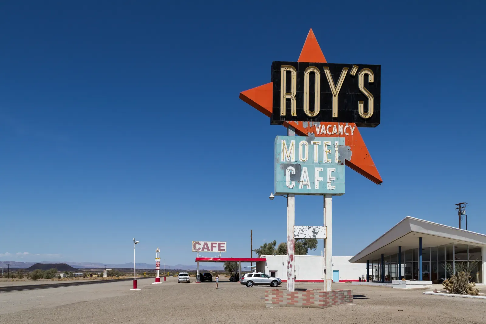
San Bernardino sits where the San Andreas and San Jacinto fault zones come close together, near the Cajon Pass. The San Jacinto Fault is one of the most active in Southern California. Together, these faults put the Inland Empire in a spot where several sources of strong shaking overlap.
Studies of the southern San Andreas Fault have found that it has not ruptured in a major way for a long time compared with its typical pattern. That doesn’t give a date, since earthquakes can’t be predicted. It does explain why emergency exercises like the annual ShakeOut draw so much participation in the region.
Salt Lake City, Utah
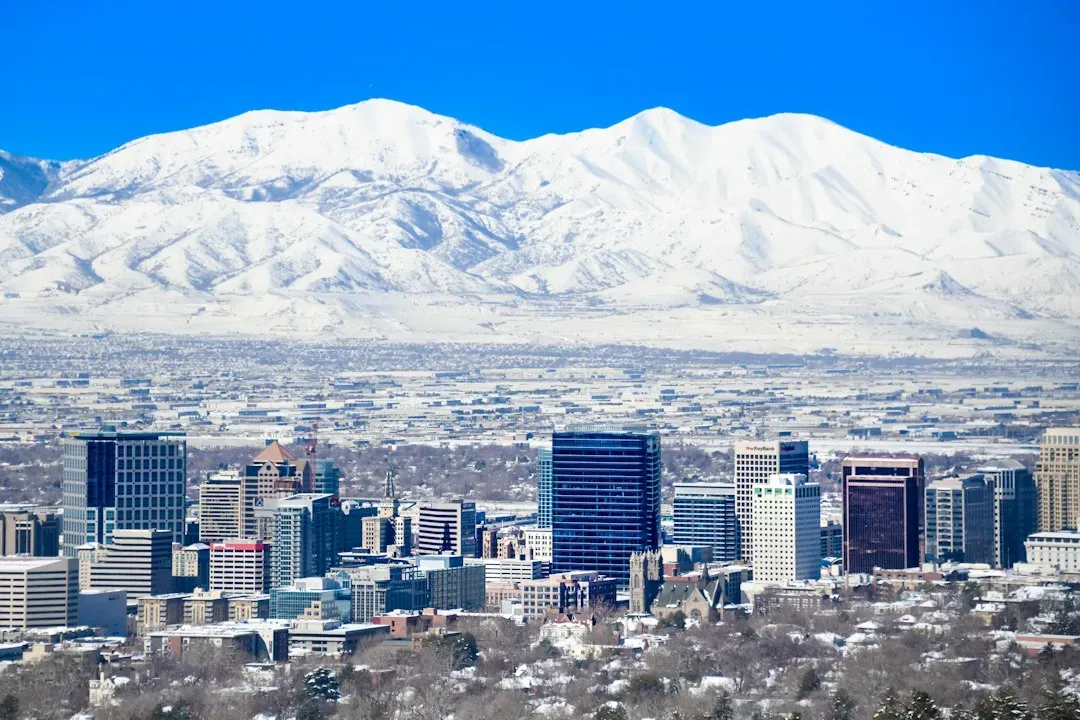
Salt Lake City lies at the foot of the Wasatch Mountains, and the Wasatch Fault runs along that base. The fault is a long normal fault that has produced large earthquakes in the geologic past. The Utah Geological Survey and the USGS both track it closely because several million people live along the Wasatch Front.
A reminder came in March 2020, when a magnitude 5.7 earthquake struck near Magna. It damaged buildings, including the Salt Lake Temple’s Angel Moroni statue, which lost its trumpet. Officials noted that the quake was far smaller than the one scientists expect the Wasatch Fault to eventually produce.
Seattle, Washington
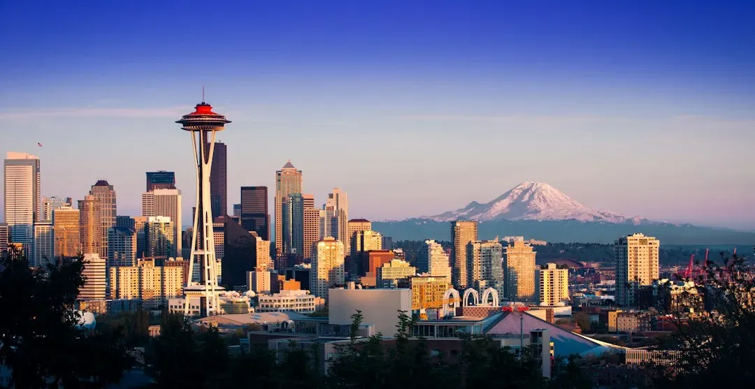
Seattle faces two separate threats. The Seattle Fault is a shallow crustal fault that crosses the city east to west, passing near the stadium district. Geologic evidence shows it ruptured roughly 1,100 years ago, lifting shorelines in Puget Sound.
Offshore, the Cascadia Subduction Zone is capable of a massive earthquake, last recorded in January 1700. Washington state has promoted the Cascadia threat widely through preparedness campaigns and early warning work. Seattle also deals with the Nisqually earthquake of 2001, a magnitude 6.8 event that caused damage across the region.
Anchorage, Alaska
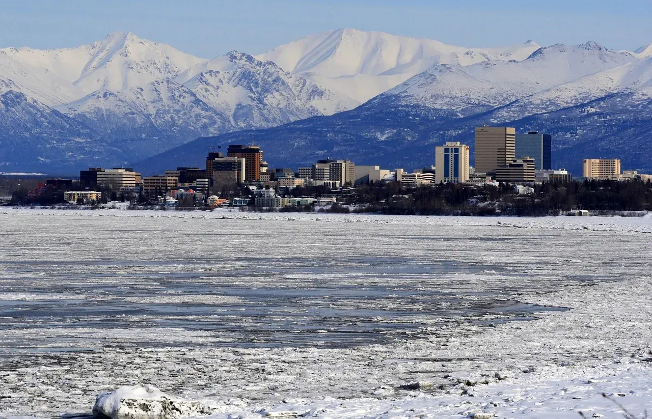
Anchorage sits near the edge of the Pacific Plate, where it slides beneath North America. The 1964 Good Friday earthquake, at magnitude 9.2, remains the strongest earthquake recorded in US history. Ground failures in Anchorage, including landslides in the Turnagain Heights area, destroyed homes.
More recently, a magnitude 7.1 earthquake struck near Anchorage in November 2018. It cracked roads and damaged buildings, but a deeper source and strong building practices kept the harm far below what many feared. The event is often cited as evidence that modern codes make a real difference.
Memphis, Tennessee
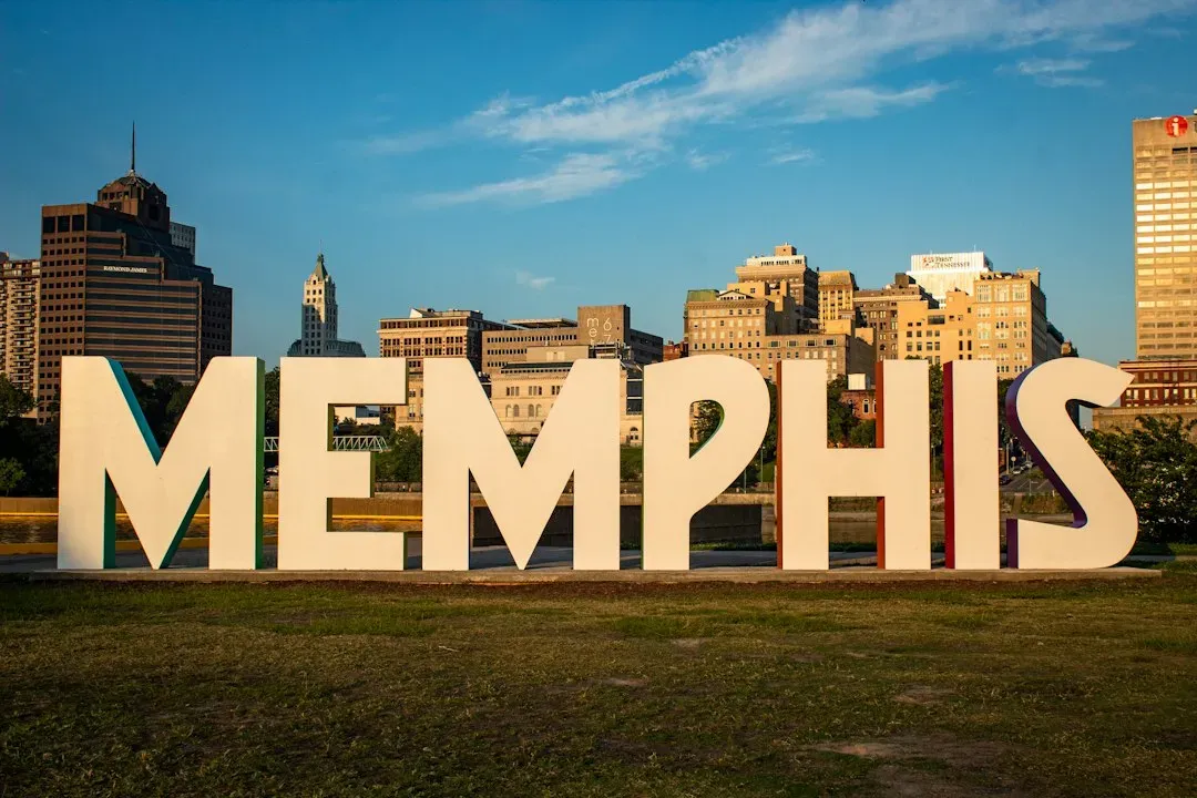
Memphis isn’t near a plate boundary, which makes its risk less obvious. The city lies close to the New Madrid Seismic Zone, a system of faults in the central Mississippi Valley. Between December 1811 and February 1812, a series of very large earthquakes struck the area, and accounts describe the Mississippi River temporarily flowing in odd directions.
The USGS says earthquakes in the central US can be felt across much wider areas than those in the West, because the older, colder crust transmits energy efficiently. Memphis has many older brick buildings and bridges not designed for strong shaking. Local agencies have worked on retrofitting critical structures, though the work is costly.
Charleston, South Carolina
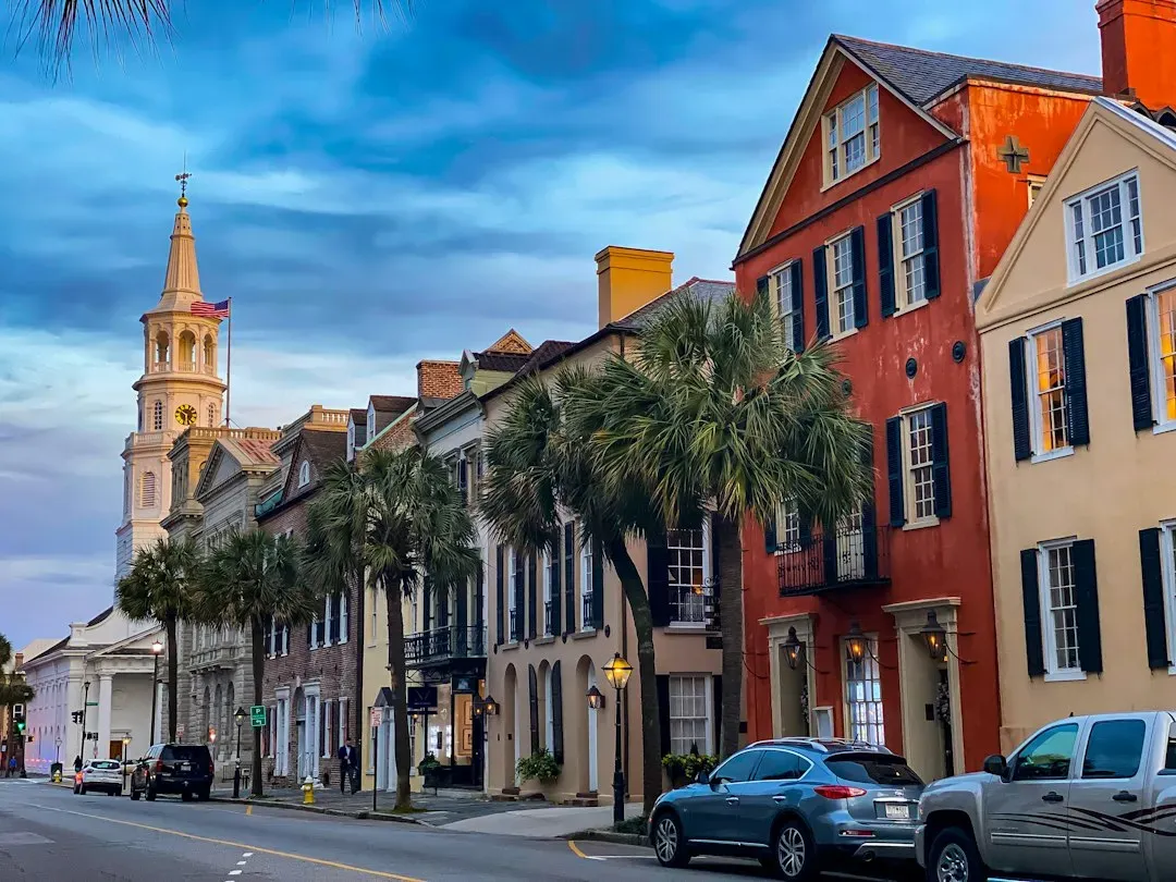
Charleston is a lesser known entry. On August 31, 1886, a powerful earthquake struck near the city, estimated at around magnitude 7. It killed dozens of people and damaged much of the historic downtown, and shaking was felt across a wide swath of the eastern US.
Scientists still debate exactly which faults caused it. The USGS describes the region as one of the more active seismic areas on the East Coast, with small tremors occurring in the Middleton Place and Summerville area. Charleston’s age and its soft coastal soils add to the concern.
Portland, Oregon

Portland has its own local fault, the Portland Hills Fault, which runs along the west hills close to downtown. Research has shown that this fault and others nearby, such as the East Bank Fault, are capable of producing damaging earthquakes. Oregon’s seismic maps also flag liquefaction risks along the Willamette and Columbia rivers.
The larger regional threat is the Cascadia Subduction Zone offshore, which scientists say can generate a magnitude 9 earthquake. A 2013 state report, the Oregon Resilience Plan, assessed how bridges, fuel facilities, and hospitals might fare, and it outlined a long list of upgrades. Portland also felt the 1993 Scotts Mills earthquake, a magnitude 5.6 event that caused modest damage in the region.
