


- Phantom Energy Sucking Power 24/7 – 7 Home Electronics Quietly Inflating Utility Bills - November 14, 2026
- A Million-Mile Storm Raging for Centuries – 6 Violent Weather Wonders in Our System - November 14, 2026
- Animals Flee Hours Before the Tremor – 7 Natural Warnings Before Disasters Strike - November 14, 2026
Most of what circles our planet isn’t working. ESA reports roughly 47,000 regularly tracked artificial objects and more than 17,400 metric tons of material in Earth orbit, according to statistics updated in October 2026. Only a minority of that is functioning hardware.
Keeping watch over this crowd is a quiet, constant job done by radar stations, telescopes and software. The methods differ in detail, though the goal is simple: know where everything is, so nothing hits anything else.
The Scale of What’s Up There
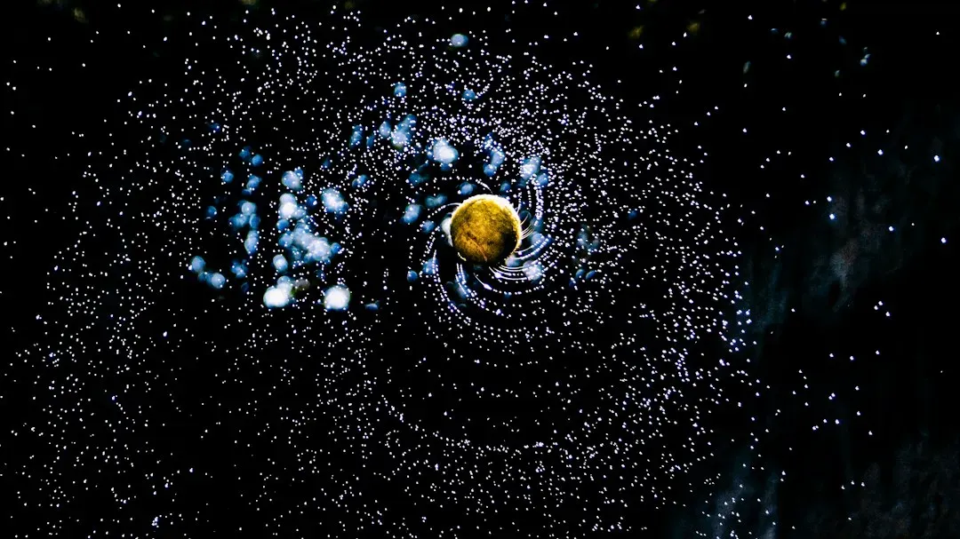
About 40,000 objects were tracked by space surveillance networks in ESA’s 2025 report, of which about 11,000 were active payloads. By October 2026, the agency’s live statistics had moved higher, to the roughly 47,000 figure above.
Counts differ between sources because catalogues differ. Different networks apply different size thresholds and publish different subsets, so a single “right” number doesn’t exist. The safest approach is to read each figure alongside the date and the source behind it.
Satellites Versus Debris
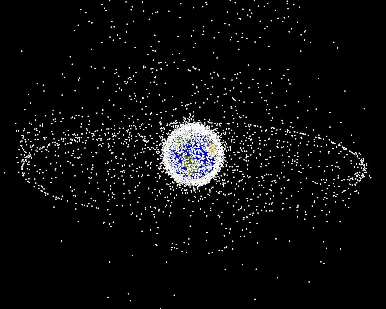
ESA’s statistics page says about 28,270 satellites have been launched since 1957, with about 19,440 still in space and about 15,900 still functioning. That leaves thousands of dead satellites sitting in orbit alongside rocket bodies and fragments.
One independent analysis of Space-Track data, dated March 2026, found 12,550 debris objects and 17,682 payloads. That excludes rocket bodies and unassigned objects, so it understates the junk. It’s a useful reminder that definitions shape the headline.
The Objects Nobody Can See
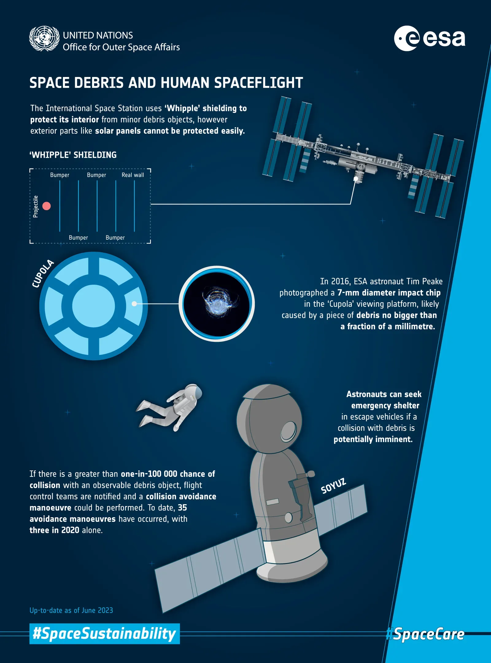
Tracking only covers the larger end of the spectrum. ESA’s MASTER model estimates more than 1.2 million objects between 1 and 10 centimetres, and about 140 million fragments between 1 millimetre and 1 centimetre.
These are not individually tracked. Even a small fragment moves at orbital speed, so it can damage or disable a spacecraft. Agencies handle this class through statistical models and shielding rather than by watching each piece.
Radar, Optical Sensors and the Surveillance Network
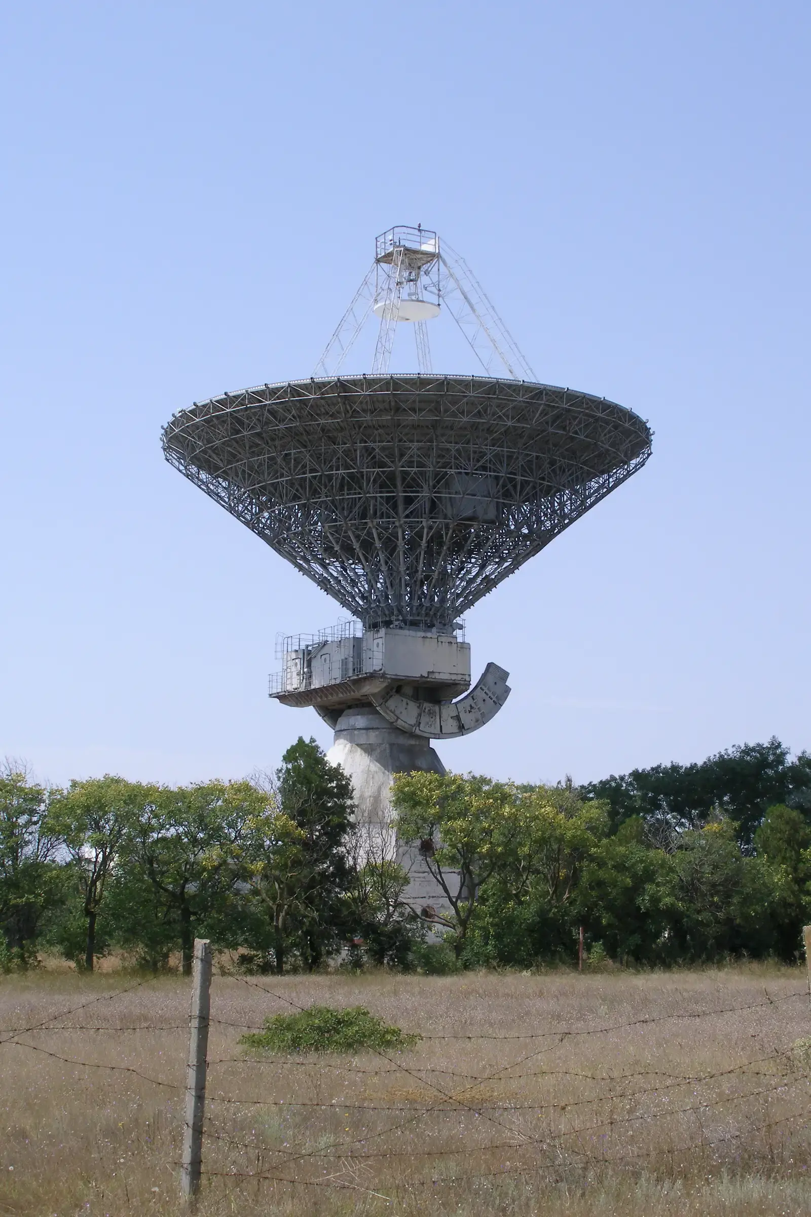
Ground radar is the workhorse for low orbits, where objects pass quickly overhead. Optical telescopes cover higher altitudes, such as geostationary orbit, where radar signals lose strength over the distance.
One 2026 summary describes the US Space Surveillance Network and other sensors tracking more than 31,863 objects larger than 10 cm. That is a count from a single aggregator, so it’s best treated as an approximation rather than an official total. The wider point holds: a global mix of sensors feeds the catalogues.
ESA’s Models and Databases
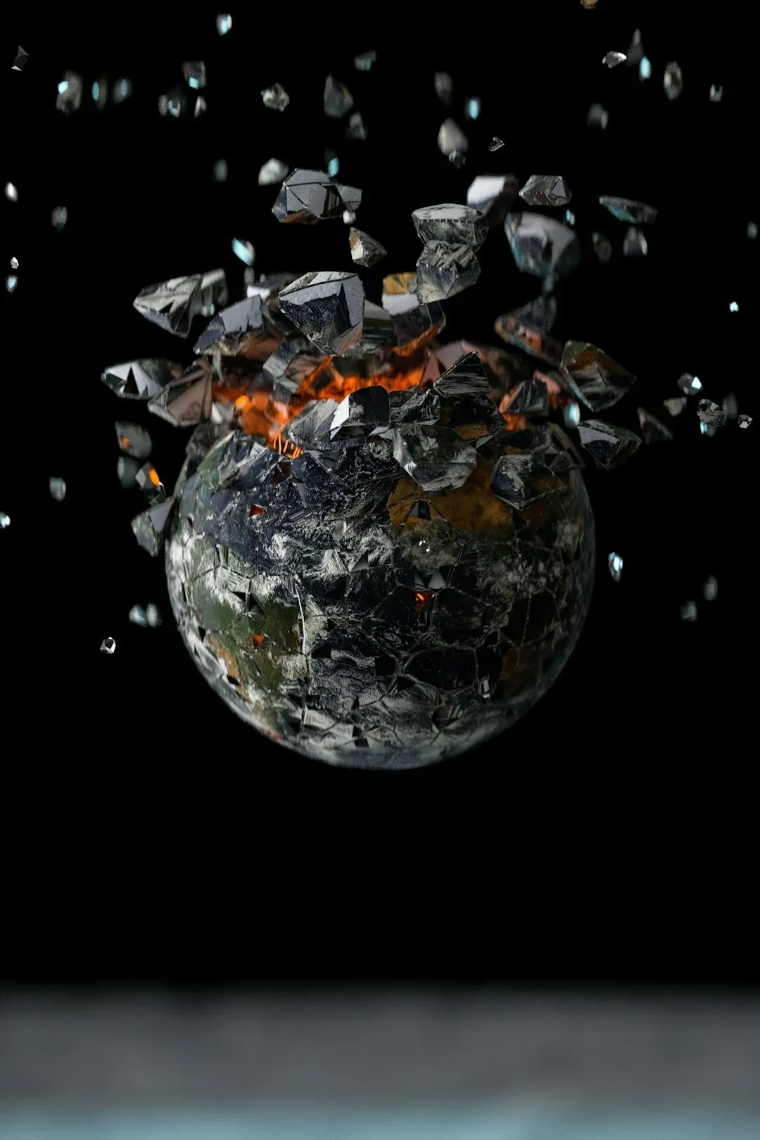
ESA’s Space Debris Office doesn’t just count objects. It publishes the MASTER model, and at the most recent reference epoch of 1 February 2026, it estimates the number of objects in different size ranges.
The agency also issues an annual report. The tenth edition was released on 1 May 2026, and a revised issue 10.1 followed in September. These documents give researchers and operators a shared baseline.
Objects That Can’t Be Identified
Detecting something isn’t the same as knowing what it is. ESA’s latest report notes that unidentified objects mostly affect the geostationary region and are likely linked to fragmentation events nearby.
The agency expects that further work to correlate these objects with known events may reduce this class in future editions. In practice, that means detective work with old observations, orbital histories and breakup records.
Fragmentation Events and Sudden Growth
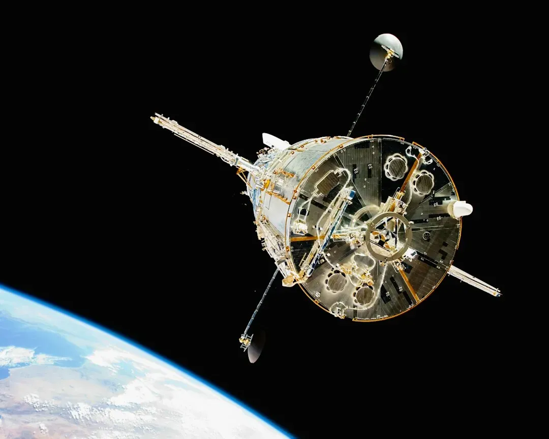
Breakups can add thousands of pieces quickly. In 2024, there were several major fragmentation events, which led to at least 3,000 tracked objects being added in a single year.
Each new cloud then has to be catalogued, with its fragments given orbits one by one. That takes time and sensor capacity. A big event can strain the system just when accurate data is needed most.
Launches Outpacing Reentries
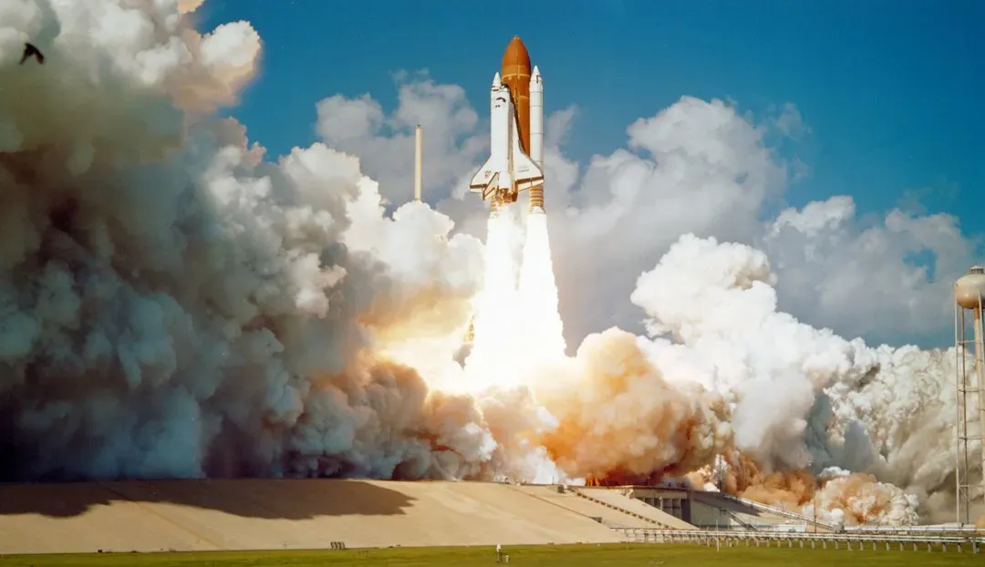
The pace of launches keeps rising. Per one 2026 write-up of ESA’s findings, more than 300 rockets lifted off in 2025, carrying over 4,000 new payloads into orbit.
The same coverage says just over three intact satellites and rocket bodies fell back into the atmosphere on an average day. That gap is why ESA’s health index, which measures long term sustainability, climbed from roughly 4 to roughly 50 in a single year, according to that report.
Crowded Altitudes and Collision Risk
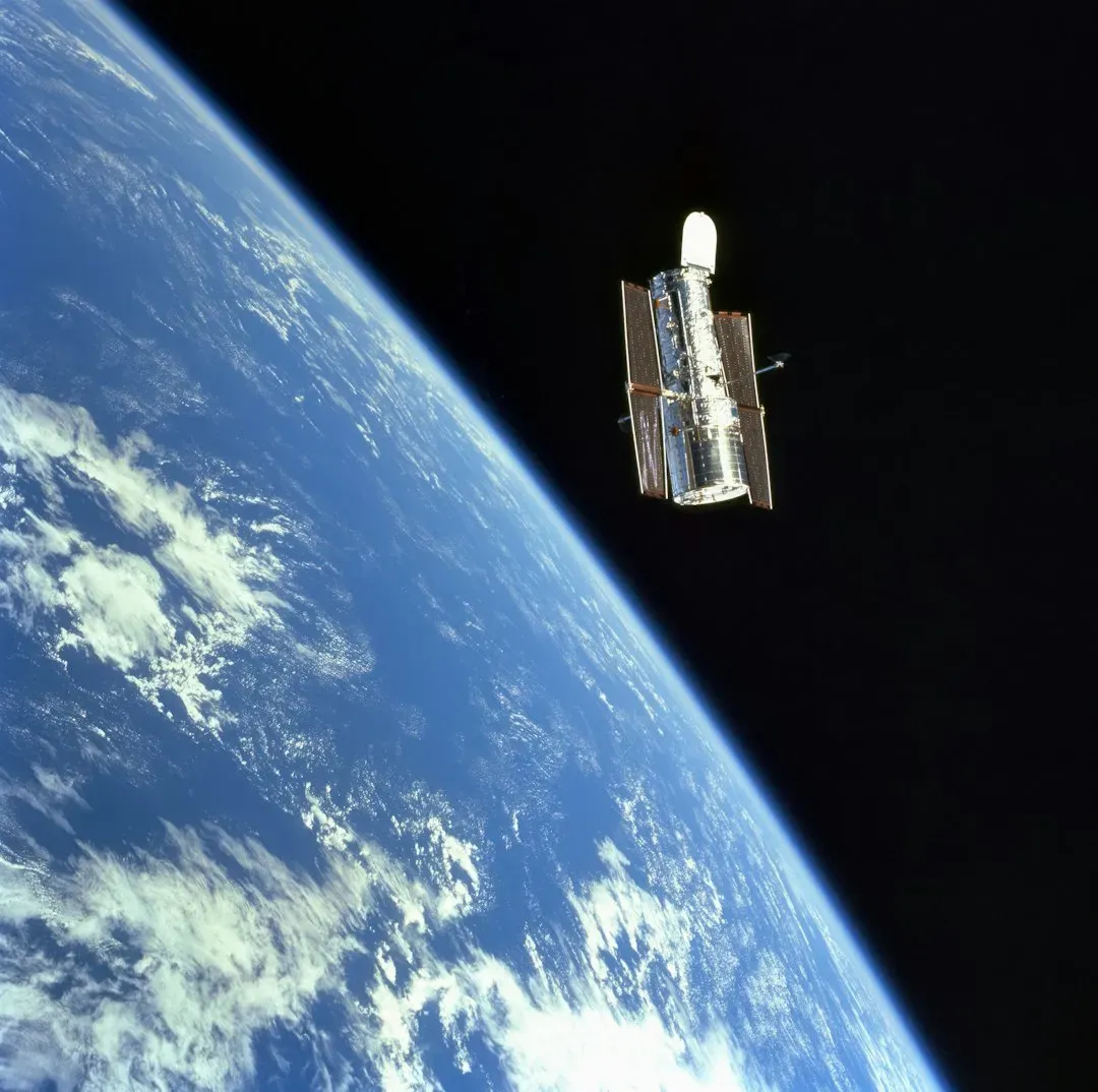
Objects aren’t spread evenly. ESA’s modeling shows that in the 550-kilometre band favored by communication constellations, debris density is approaching the same order of magnitude as active satellites.
That’s why operators lean on tracking data to plan avoidance maneuvers. The more accurate the orbit data, the fewer unnecessary maneuvers, which saves fuel and keeps satellites working longer.
Cooperation and Mitigation Efforts
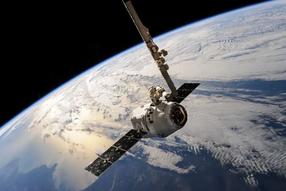
Tracking alone doesn’t shrink the problem. ESA’s Zero Debris Charter had 150 or more signatories spanning 19 countries as of 2025.
Mitigation steps include deorbiting satellites at end of life and avoiding breakups. The annual reports measure how well countries and operators follow those guidelines, giving the catalogues a purpose beyond bookkeeping.
