

California’s Central Valley is trading orchards for hard choices
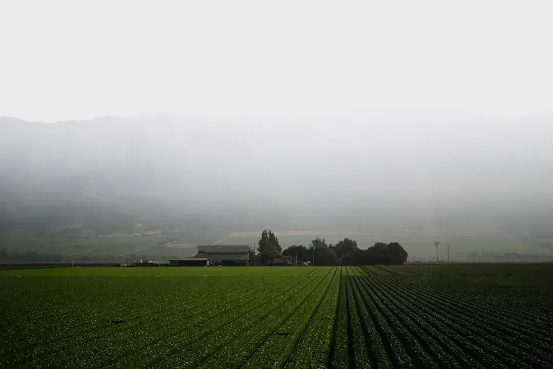
The Central Valley produces roughly half of all the fruits and vegetables grown in the United States, along with the majority of the nation’s nuts. That area alone produces approximately half of all the fruits and vegetables grown in the U.S., accounting for about 60% of the nation’s fruits and nuts, and about 30% of the nation’s vegetables. It is hard to overstate how much of the American food supply runs through this single valley.
Yet the water underneath it is disappearing faster than anyone can comfortably manage. In the San Joaquin Valley, average annual irrigation water supplies are likely to decline by 20% by 2040 from 2010 levels. California’s 2014 groundwater law, SGMA, only makes this more urgent, since it requires local agencies to reduce groundwater overdraft and achieve sustainable use by 2040. In 2026, some Central Valley Project growers have already seen initial allocations come in at around 15 percent of requested supply, significantly impacting irrigation planning. Expect fewer almond orchards on marginal land and a lot more fallow fields by the time 2040 arrives.
The Great Plains are quietly running out of the water beneath them
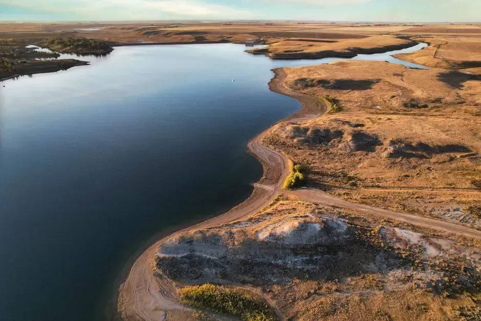
Beneath eight states from South Dakota to Texas sits the Ogallala Aquifer, a resource that took thousands of years to fill and is being drained in a matter of generations. It provides roughly 30 percent of the groundwater used for irrigation in the U.S. and supports around a fifth of the country’s agricultural output. That is not a regional curiosity. It is a structural pillar of American food production.
The math on recovery does not work in the aquifer’s favor. Studies suggest that up to 40 percent of the aquifer may no longer be able to support irrigated agriculture within decades, while broader projections indicate significant depletion over the next half-century. In parts of Kansas and Texas, groundwater levels have dropped by more than 200 feet since large-scale irrigation began. Today the aquifer still supports 20% of the nation’s wheat, corn, cotton and cattle production and represents 30% of all water used for irrigation in the United States, but the corn and cattle counties leaning hardest on it are the ones most likely to shift toward dryland farming or grazing by 2040.
Southern Europe’s olive groves and vineyards are under real strain
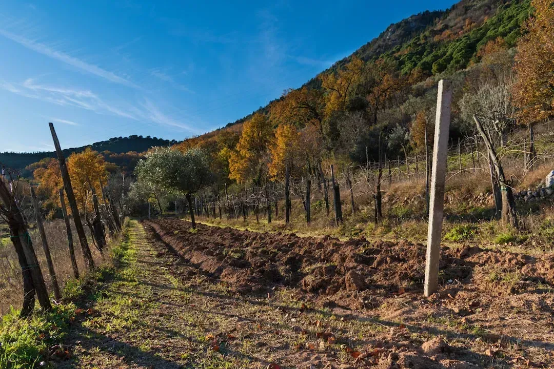
The Mediterranean basin has built its identity, and its export economy, around crops that assume a reliable dry summer and a wet winter. That assumption is eroding. Researchers project that water shortage might threaten up to 40% of the region’s overall crop revenue by 2040. That is not a distant hypothetical figure; it is roughly the same time horizon most people are already planning careers and mortgages around.
Spain, Italy, Greece, and southern France are watching the same pressures build from different angles. The ongoing climate crisis and growing water scarcity are exerting increasing pressure on agriculture in Southern and Western Europe, leading to reduced crop yields, greater risk of land abandonment, and deterioration of soil quality. The IPCC’s own modeling suggests crop yield losses could range from 12% to 32% by 2100, mainly due to changes in temperature and precipitation. Some growers are already responding by shifting toward crops that ask less of the soil and less of the sky, a trend likely to accelerate well before 2040.
Australia’s Murray-Darling Basin faces a drier, hotter ledger
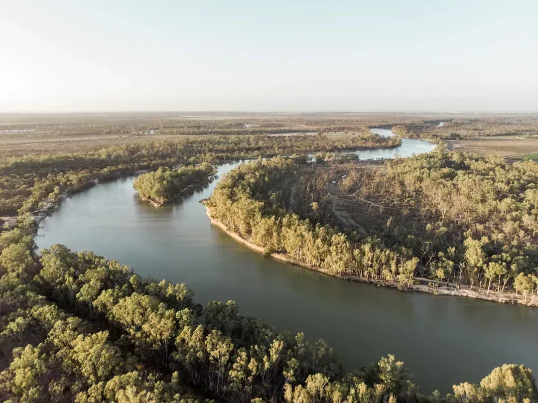
Few river systems anywhere carry as much agricultural weight relative to their size as the Murray-Darling. The basin generates 40 per cent ($15 billion) of the gross value of agricultural production in our nation and supplies water to over 2.4 million Australians, including people from more than 50 First Nations. Agriculture dominates the landscape here almost completely, making up around 85% of the total area, and generates around 40% of the gross value of Australian agricultural production.
The trouble is that the basin’s climate is shifting in a direction that squeezes every part of that system. Scientists project the region has warmed by around 1 degree since 1910 and will continue to warm (by 0.6–1.5°C in 2030 relative to 1995 and by 0.9–2.5°C in 2050 without mitigation). Hydrological modeling points to a median projected decrease in mean annual runoff of 14% in the southern MDB by 2046–75 under the medium warming scenario. For irrigators growing rice, cotton, and wine grapes along the Murray and Murrumbidgee, less runoff eventually means fewer acres under water and a harder look at what crops still make economic sense.
Vietnam’s Mekong Delta is losing ground to the sea, literally
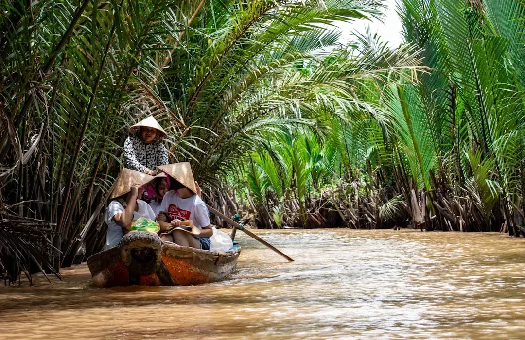
Few places illustrate the stakes of rising seas on food production quite like the Mekong Delta. Despite covering just a sliver of Vietnam’s land area, the delta accounts for 55 percent of planted rice and 57 percent of total rice production nationally. Saltwater has always crept in during the dry season, but the pattern is no longer predictable or contained.
Projections suggest a predicted sea-level rise of 30 cm by the year 2050 is expected to accelerate salinity intrusion, and farmers are already feeling the edge of that shift. In one Vinh Long province commune, hydrometeorological monitoring found salinity reaching 4 parts per thousand (ppt), the threshold at which rice farming is damaged, more than fifty kilometers inland. Rice paddies that have fed generations are gradually being converted to shrimp ponds and salt-tolerant orchards, a transition that is likely to define much of the delta’s landscape well before 2040 arrives in full.
The Sahel’s growing seasons are shrinking under a hotter sky
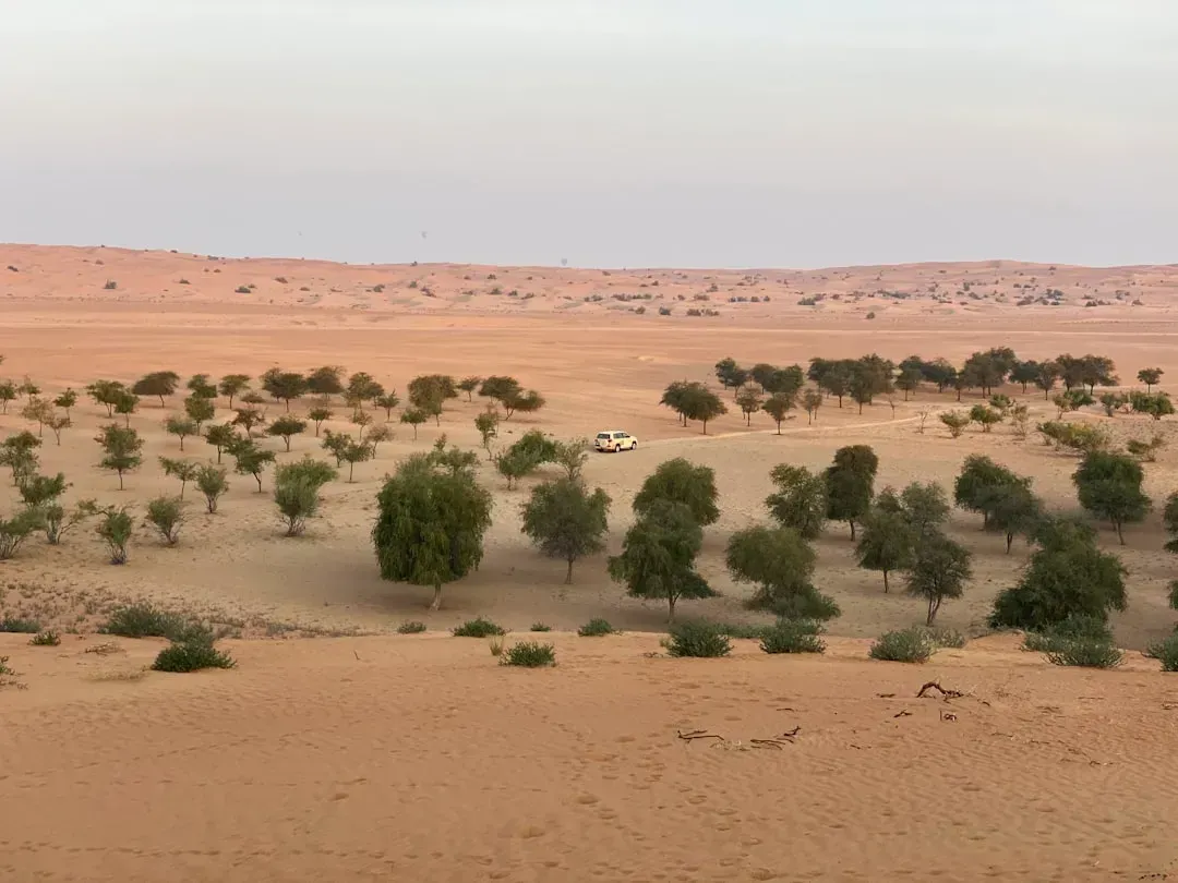
Across sub-Saharan Africa, the challenge is not too much salt or too little groundwater but a growing season that is simply getting shorter. Researchers project that much of the region, the region with the largest share of the population at risk of hunger, is projected to experience a 20% reduction in the length of the growing period in 2090 compared to the 2000s. That squeeze is already visible in planting calendars that no longer match the rainfall patterns farmers grew up with.
Because so much of the region depends on rainfall rather than irrigation, the vulnerability runs deep. The heavy reliance on rain-fed agriculture, combined with limited adaptive capacity and socio-economic vulnerability, intensifies these impacts, resulting in food shortages and economic strain. Modeling for drought-prone areas across Africa and South Asia suggests crop production could decrease by up to 25% due to rising temperatures and altered rainfall in coming decades. Millet and sorghum, crops built for tough conditions, are likely to spread into areas once reserved for maize as farmers adjust to a climate that no longer plays by the old rules.
What these shifts add up to

- The Shoreline Sucked Dry in Seconds – 5 Tsunami Signals Beachgoers Mistake for Low Tide - November 14, 2026
- 9 Dark-Sky Destinations Around the World Where the Stars Look Unreal - November 14, 2026
- The Fault Line That Never Slips – 7 Locked Seismic Zones Overdue for a Massive Release - November 14, 2026
