

A mature hurricane looks like a slow, spinning cloud from orbit. It doesn’t look like a machine. Yet it moves heat from the ocean surface to the upper atmosphere at a rate that makes human infrastructure look small.
Putting a hurricane next to the world’s power grid is a useful check on scale. The answer depends heavily on which kind of energy you count, so the details matter.
Two Kinds of Hurricane Energy
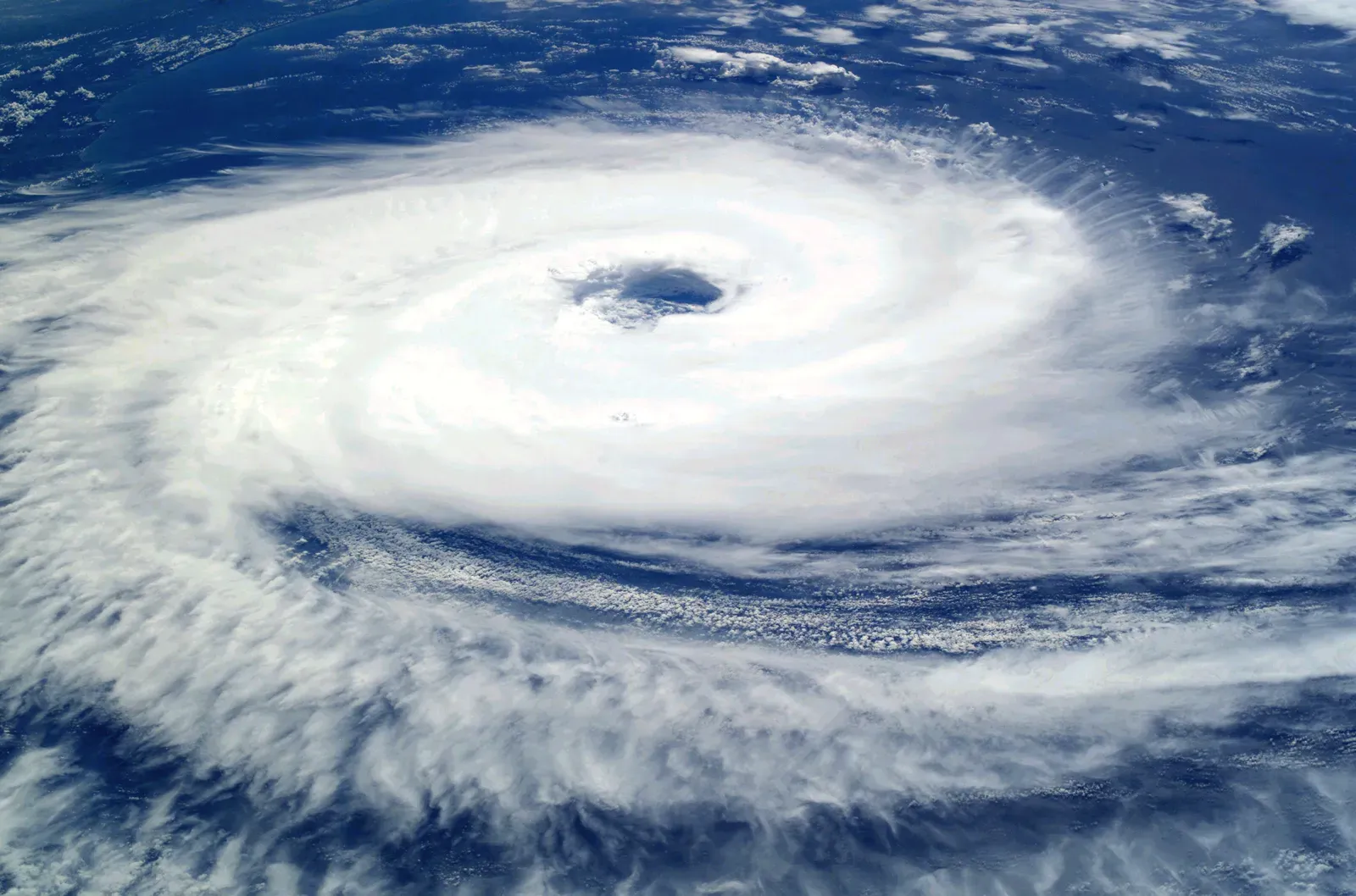
Scientists usually separate a hurricane’s energy into two buckets. One is the heat released when water vapor condenses into cloud and rain. The other is the kinetic energy of the wind itself.
These numbers differ by a huge margin. Condensation heat is the engine, and wind is only a small share of what that engine produces. Most comparisons that sound shocking use the first figure, and most that sound modest use the second.
The Latent Heat Figure
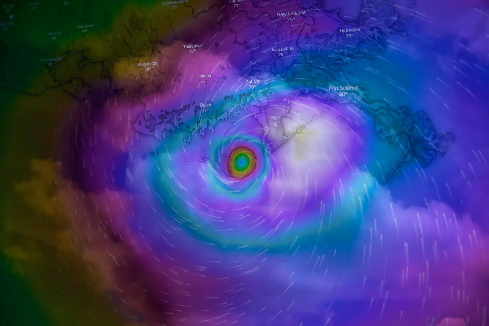
NOAA’s hurricane research division has long given an estimate for the heat released by condensation in an average mature storm. That figure is roughly six hundred trillion watts. It is a rate of energy release, not a total, so it has to be multiplied by time to compare with annual electricity totals.
Over one day, that rate adds up to about fifty quintillion joules. For perspective, that is on the order of fourteen thousand terawatt hours of heat every twenty four hours. It’s an estimate for a typical storm, and individual hurricanes vary widely in size and intensity.
How Much Electricity the World Generates
Ember’s Global Electricity Review 2025 reports that low carbon power reached 40.9% (12,609 TWh) of the mix in 2024. Working backward from those two numbers, total generation in 2024 comes to a little over thirty thousand terawatt hours. That’s my own arithmetic from Ember’s figures, not a number the report states in that form.
The IEA’s review points the same way, noting that global electricity generation grew by over 1 200 TWh in 2024. Ember’s later review adds that demand grew by 2.8% (+849 TWh) in 2025. So the global total is now somewhere around thirty one thousand terawatt hours a year.
Turning a Year of Power Into a Rate
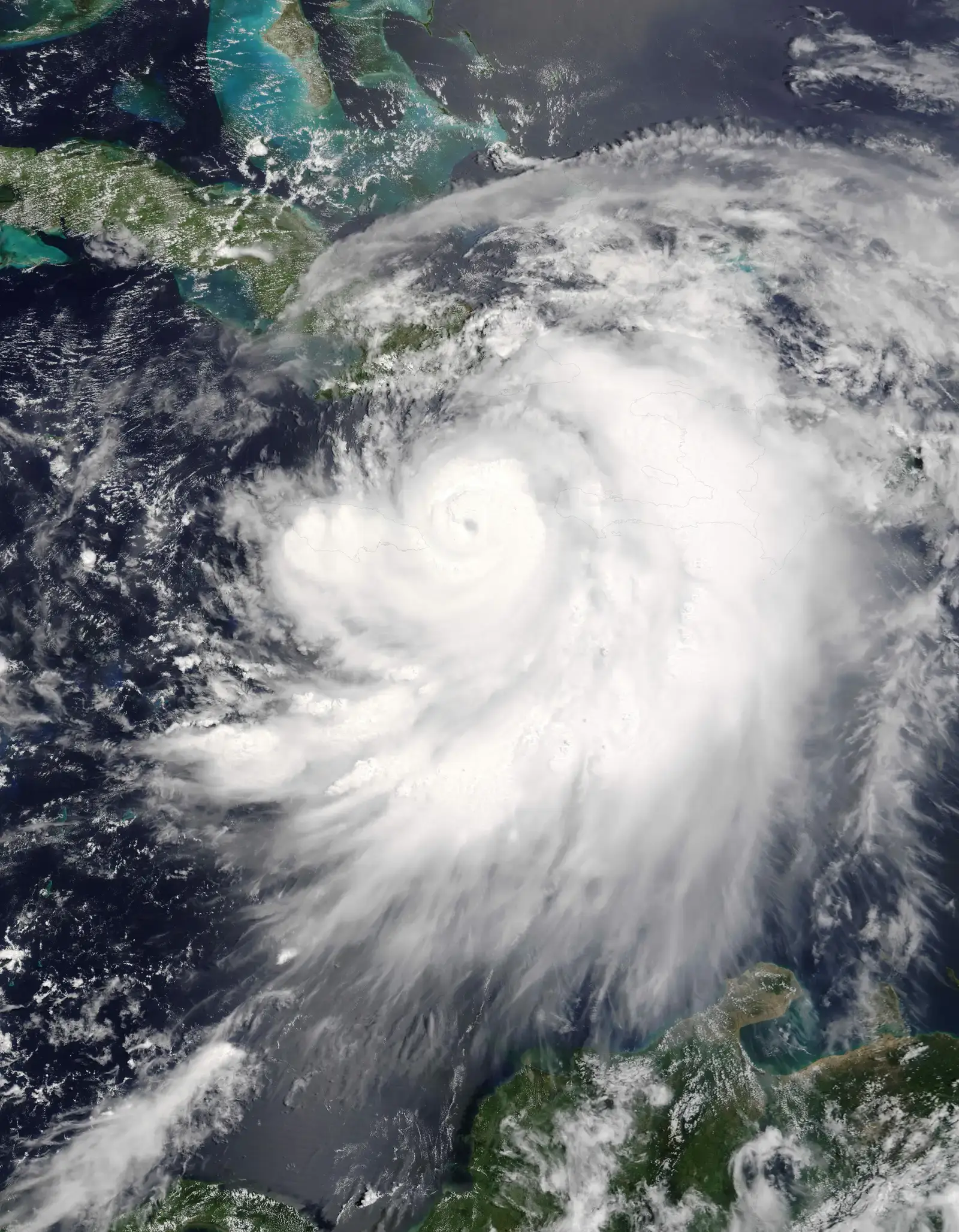
To compare a hurricane’s wattage with the grid, you need the grid’s average power. Divide roughly thirty thousand terawatt hours by the hours in a year, and you get an average output of about three and a half trillion watts. Everything the world’s power plants make, on average, fits in that one number.
That is the fair yardstick for the hurricane’s six hundred trillion watts. The storm’s heat release is then well over one hundred times the average electrical output of the entire planet.
The Daily Comparison
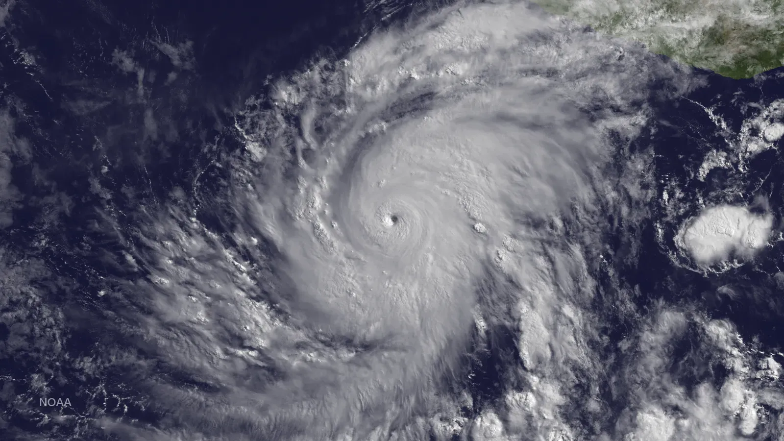
Another way to see it is by the day. Global electricity generation works out to roughly eighty to ninety terawatt hours per day. A typical hurricane’s latent heat release over the same day is about a hundred and fifty to two hundred times larger.
NOAA’s own framing lands in the same range, describing the heat release as roughly two hundred times world electrical generating capacity. The slight difference comes from comparing capacity, which is the maximum, with actual average output.
Why Wind Energy Is a Much Smaller Number
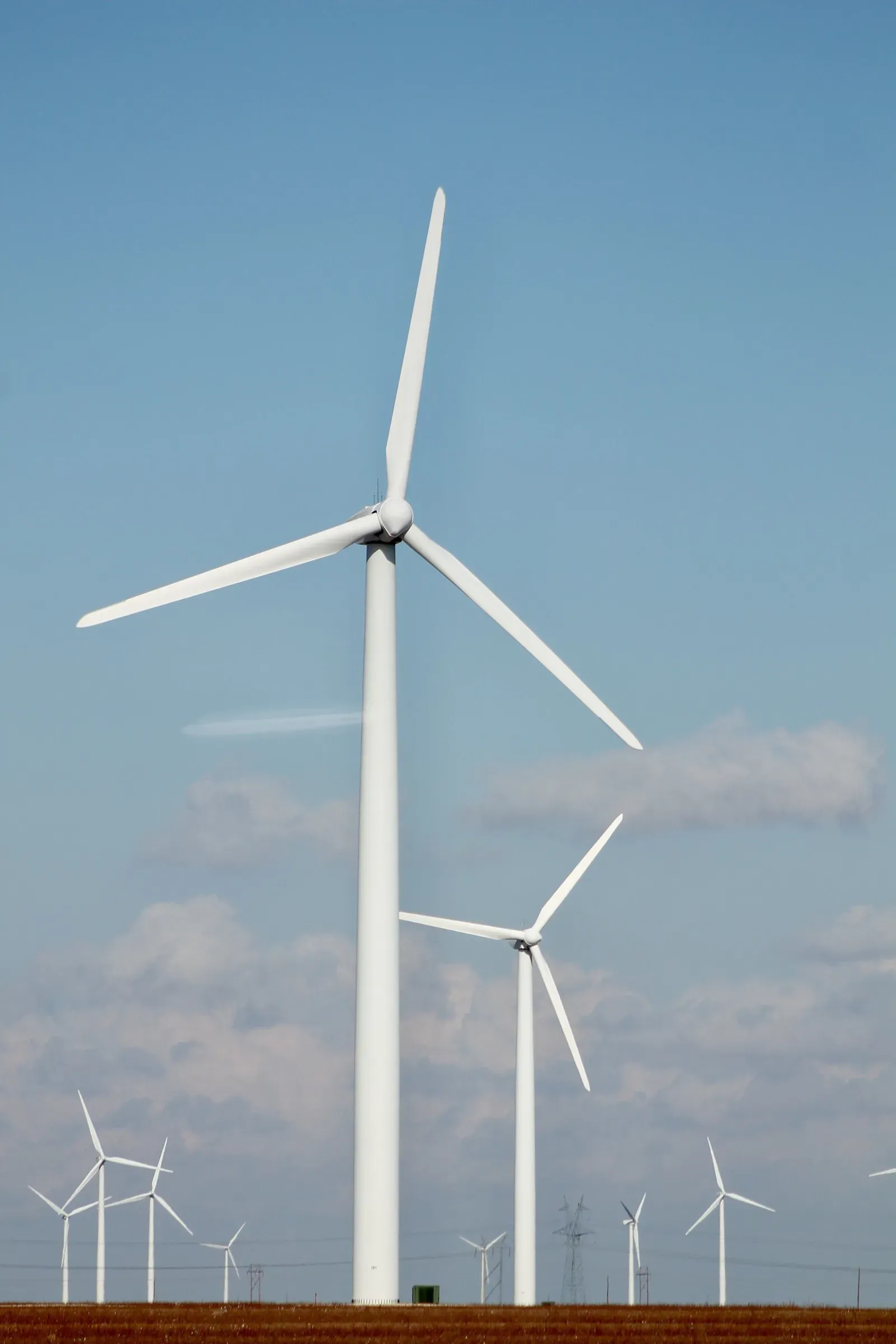
The kinetic energy in a hurricane’s winds is far smaller than its heat release. NOAA’s estimate is about one and a half trillion watts. That is roughly half of the world’s electrical generating capacity, and a bit under half of average output as computed above.
Only a tiny fraction of the heat turns into wind. Most of it is carried upward and radiated away. This is why a storm can be enormous in thermal terms and still only equal a fraction of the grid in the energy that actually pushes on buildings.
Why You Can’t Simply Harvest a Hurricane

It’s tempting to ask why we don’t capture that power. Most of the energy is spread across hundreds of miles of air and sea, and it is released as heat in the upper troposphere. Nothing on the surface can intercept it.
Wind turbines face a more practical limit. They are designed to shut down or feather their blades in extreme winds, and storms of hurricane strength can destroy them. Even the one and a half trillion watts of wind energy is dispersed over an area far too large to tap.
Where the Fuel Comes From

A hurricane runs on warm ocean water. Evaporation lifts moisture into the air, and when that vapor condenses it releases heat that strengthens the storm. The process continues as long as the sea surface stays warm and the winds aloft don’t tear the system apart.
This is also why storms weaken quickly over land or cold water. Without a steady supply of vapor, the heat engine starves. A storm that peaks at sea can lose much of its strength within a day or two of landfall.
A Fair Reading of the Numbers
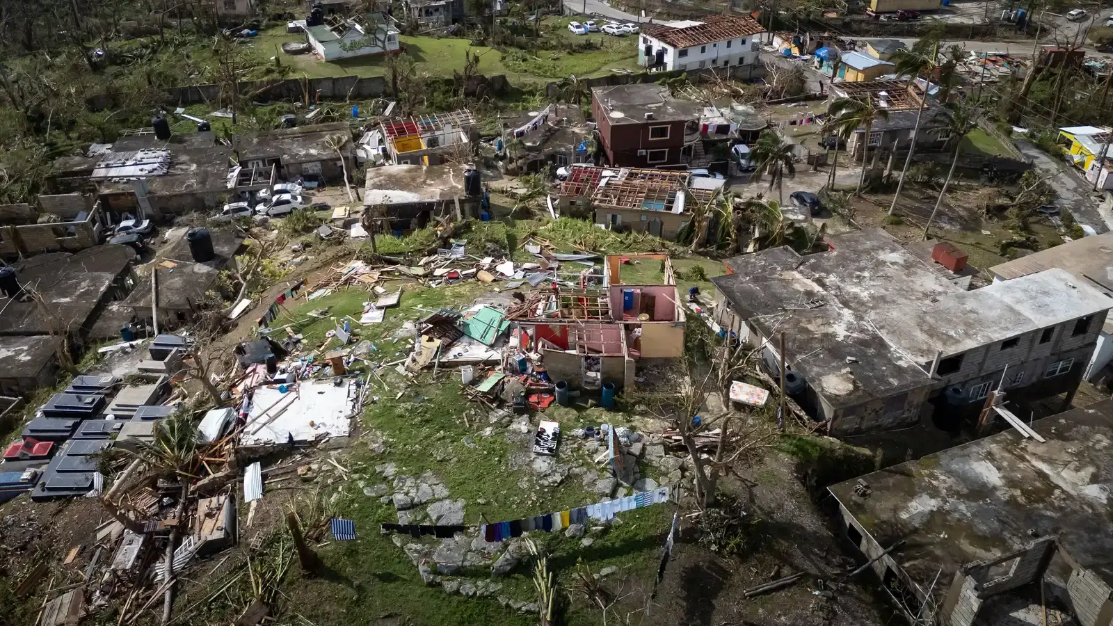
These comparisons are approximate, and they rest on a few assumptions. The hurricane figures describe an average mature storm, and the electricity figures come from data covering 2024 and 2025. Different storms, different definitions of energy, and different years will move the ratios.
The broad conclusion holds up across them, though. A hurricane’s heat release is on the order of a hundred or more times global electricity output, while its wind energy is about half of it.
Summary of the Comparison
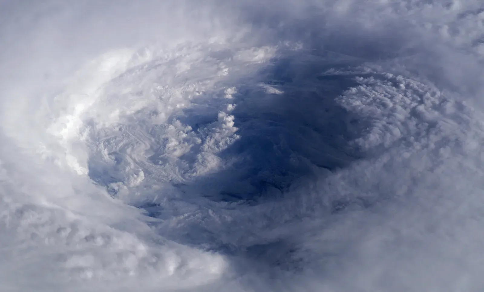
In rates, a typical hurricane releases about six hundred trillion watts as latent heat, against global average electricity output of roughly three and a half trillion watts. The wind itself carries about one and a half trillion watts.
Global electricity generation is now above thirty thousand terawatt hours a year, according to Ember and IEA data for 2024 and 2025. Over a single day, one storm’s heat release exceeds that by well over a hundred times.

- 9 Wildfire-Season Routines Many California Residents Follow - November 10, 2026
- Most US states face earthquake risk as major fault lines span the country - November 10, 2026
- The Joplin Tornado of 2011 Killed 158 People and Led to New Warning Language - November 10, 2026
