
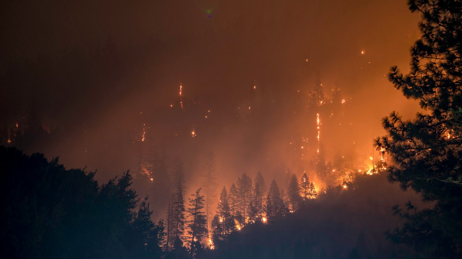

- The Planet Where It Rains Liquid Glass – 7 Alien Worlds Defying Known Physics - November 14, 2026
- Stars Consuming Entire Worlds – 6 Planetary Systems Swallowing Their Own Worlds - November 14, 2026
- The Ground Liquefies Like Water – 6 Silent Fault Lines Geologists Watch Closely - November 14, 2026
Los Angeles County, California
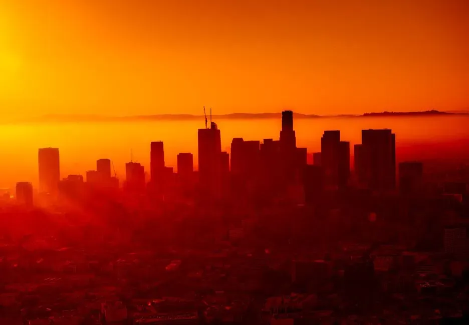
Los Angeles County remains at the center of national wildfire conversation, and for good reason. CAL FIRE’s updated maps from March 2025 designate extensive areas in Los Angeles County as Very High Fire Hazard Severity Zones, including cities such as Los Angeles, Malibu, Pasadena, Santa Clarita, and Glendale, with those zones expanding from 646,838 acres in 2011 to 817,212 acres in 2025. That’s not a small shift. It’s a near doubling of the land considered at severe risk in just over a decade.
The county’s exposure isn’t only about wildland acreage, either. Urban expansion into grasslands and timberlands has pushed more people into wildland-urban interface hazard areas, where wind-blown embers can now ignite distant structures across approximately 1.3 million structures in the county. The January 2025 Palisades and Eaton fires made that vulnerability painfully visible, and the underlying conditions that produced them haven’t gone away.
Riverside County, California
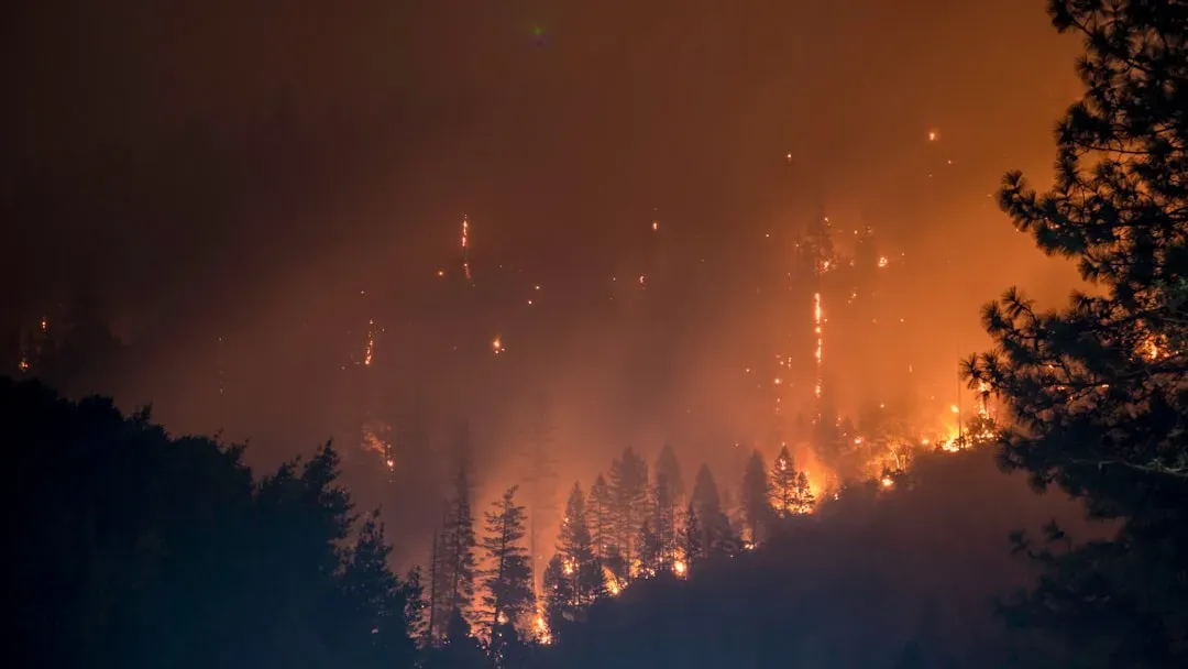
Riverside County sits just east of Los Angeles and carries its own substantial share of risk. Based on Cal Fire’s Fire Hazard Severity Zone maps, large portions of Riverside County are rated as Very High for wildfire risk. The county’s mix of desert, chaparral, and rapidly developed suburban tracts creates a landscape where fire can move fast once it starts.
What makes Riverside distinctive is the pace of residential growth pushing into those high-risk zones. Analysts researching California wildfire risk have repeatedly flagged Riverside alongside Los Angeles as one of the areas where new housing keeps landing in the path of fire-prone terrain. That combination of growth and hazard is exactly what insurers and emergency planners watch most closely.
San Bernardino County, California
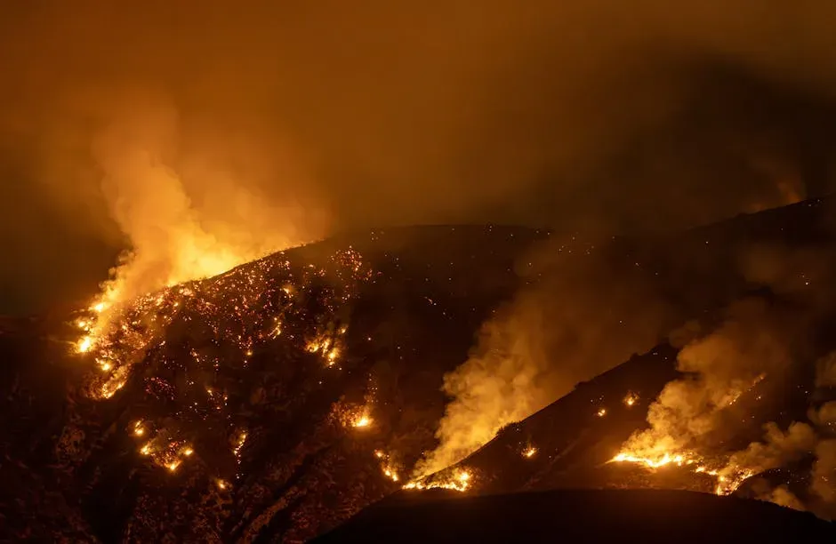
San Bernardino is the largest county by land area in the contiguous United States, and its size brings a wide range of terrain, much of it dry. San Bernardino experiences increased drought conditions, which contribute to heightened wildfire potential across the county. The combination of elevation changes, from desert floor to mountain forest, means fire behavior can vary dramatically within the same county lines.
Drought has been a persistent theme here rather than an occasional visitor. Extended dry spells dry out the region’s chaparral and desert scrub, turning normally sparse vegetation into ready fuel once a fire ignites, whether from lightning, downed power lines, or human activity along the county’s sprawling wildland-urban interface.
Ventura County, California
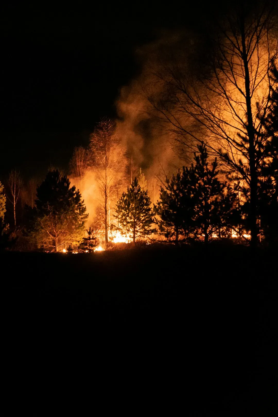
Ventura County, just north of Los Angeles along the coast, has seen one of the sharper recent increases in officially designated fire hazard land. Roughly 88,000 acres in Ventura County now fall into the very high fire hazard category, a 54 percent increase from previous years. That’s a substantial jump for a county that many residents still associate primarily with beaches and farmland.
Many communities in Ventura County sit where urban neighborhoods meet wildland areas, which raises the risk of wildfires threatening homes and critical infrastructure. The Santa Ana winds that regularly sweep through Southern California only amplify that exposure, carrying embers well beyond a fire’s original footprint.
Cherry, Morrill, and Garden Counties, Nebraska
Few regions have surprised wildfire experts more in the past two years than Nebraska’s Sandhills. The Morrill Fire in 2026 burned across Keith, Arthur, Grant, Garden, and Morrill counties, ultimately scorching 643,361 acres and becoming by far the largest wildfire in Nebraska state history. That single fire reshaped how officials talk about wildfire risk on the Great Plains.
The conditions behind it were stark. The National Weather Service’s Storm Prediction Center had flagged an Extremely Critical fire weather risk for the region, driven by winds of 20 to 35 miles per hour combined with humidity as low as 15 to 20 percent and low vegetation moisture. Much of the burned land sat in the Sandhills region, an area of rich, sandy soil largely used for grazing. Cherry County, which sits at the heart of that fragile grassland ecosystem, has become something of a symbol for how quickly Great Plains fire risk has escalated.
Custer County, Nebraska
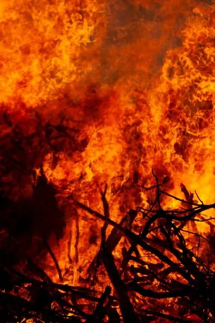
Custer County earned its own place in the 2026 fire season with the Pressey Fire, a blaze that moved with unusual speed through central Nebraska. At its peak, the fire traveled approximately 12 miles north and reached an estimated width of 3 miles, burning roughly 6,000 acres, driven by dry conditions and strong winds that caused rapid spread. Later reporting put the final total even higher, near 9,000 acres.
What stands out about Custer County’s experience is how ordinary the trigger was. A grass fire reported near a local park grew into a multi-day emergency requiring air support, simply because the surrounding terrain and weather offered no resistance. That pattern, a small ignition meeting extreme fuel and wind conditions, has become the defining wildfire story of the Great Plains in recent years.
Western Kansas and the Oklahoma Panhandle
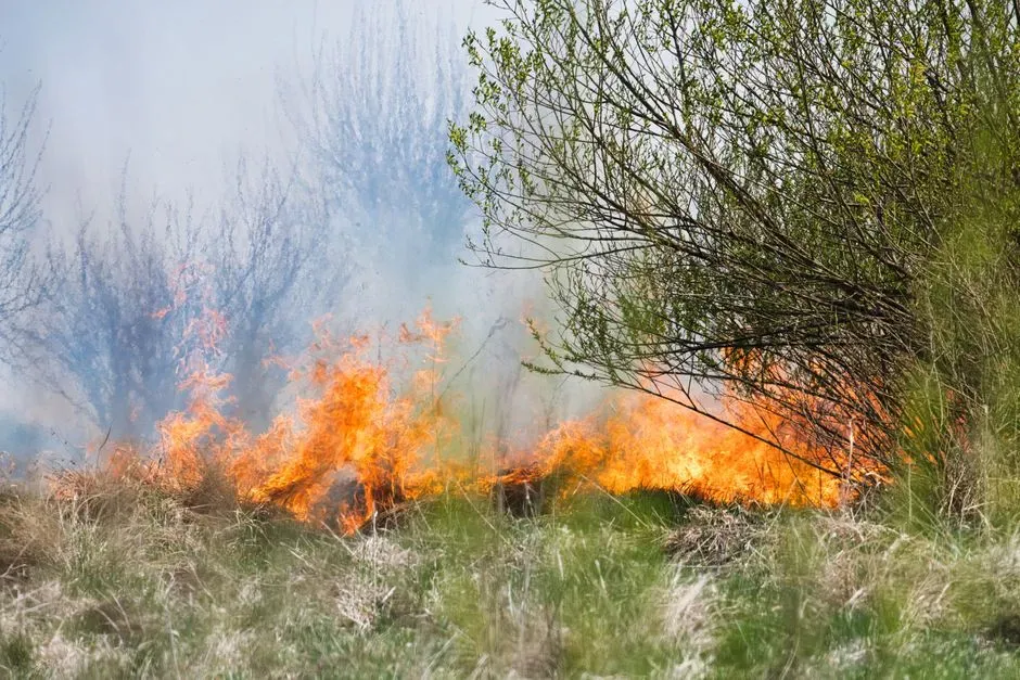
Nebraska hasn’t carried this burden alone. In the first few months of 2026, major wildfires scorched over a million acres of land across Nebraska, Kansas, and Oklahoma, including a fire in February that crossed the northwest border of Oklahoma into Kansas and burned nearly 300,000 acres. These cross-border fires underline how wildfire risk in this region doesn’t respect state lines any more than it respects county lines.
The Oklahoma panhandle in particular has drawn attention for its combination of dry grassland, persistent wind, and expanding drought. Emergency responders there have dealt with fast-moving grass fires that echo the same conditions seen further north, dry cured grass, low humidity, and gusty winds that can turn a small ignition into a regional emergency within hours.
Colorado’s Front Range Counties
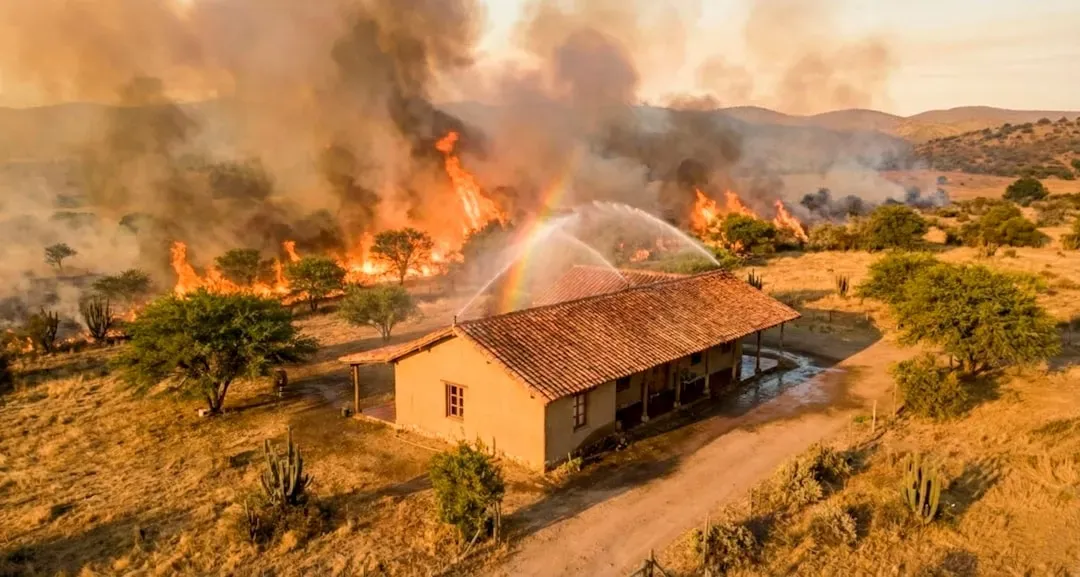
Colorado presents an unusual case: a state with relatively modest total acreage burned historically, yet one of the highest shares of homes exposed to wildfire risk. In Colorado, 53 percent of properties face major risk of wildfire, the second-highest share of any state after Wyoming. That figure reflects how much residential development has crept into forested foothill terrain along the Front Range.
Colorado ranks third among states for overall wildfire danger even though it has a relatively low amount of acreage burned historically, with the risk of wildfire to housing units coming in at 17 percent. Counties like El Paso and Boulder illustrate the pattern well: dense pine forest, steep terrain, and neighborhoods built right up against it, a combination that has produced some of the state’s costliest fire losses.
Wyoming’s High-Risk Counties
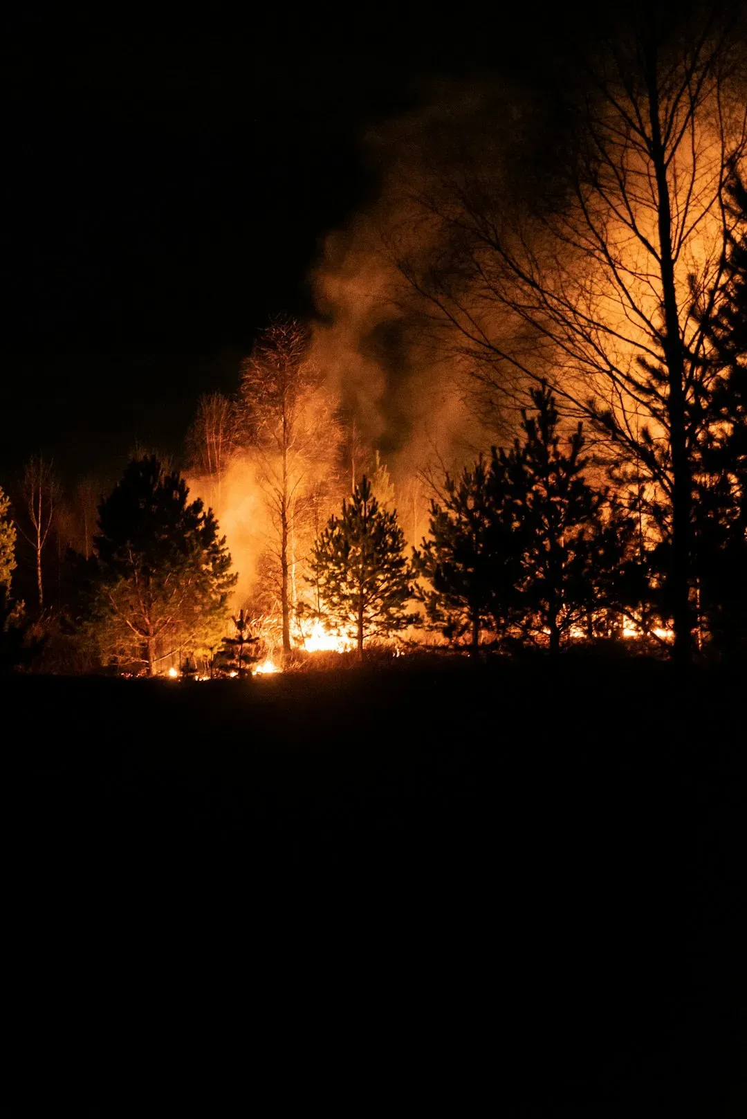
Wyoming tops the list for the sheer share of properties considered at major risk nationally. About 69 percent of properties in Wyoming could be at major risk of a wildfire within the next 30 years, the highest figure of any state. That’s a striking statistic for a state with a relatively small population, and it speaks to how much of Wyoming’s land base sits in fire-adapted grassland and forest.
Park County, adjacent to Yellowstone National Park, illustrates the scale of the challenge well. The 1.6 million acre county has a high wildfire risk and a growing population, and a $250,000 Community Wildfire Defense Grant is now funding a locally driven effort to update the county’s Community Wildfire Protection Plan and strengthen preparedness and response. That kind of targeted federal funding has become increasingly common as counties across the Mountain West try to get ahead of a threat that keeps outpacing older planning documents.
Washoe County and the Nevada Great Basin
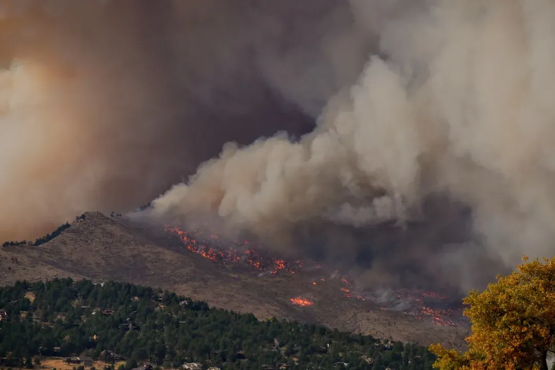
Nevada’s 2025 fire season was its worst since 2020, and Washoe County, home to Reno, sat squarely in the path of the smoke and flame. Nevada saw 690 fires scorch over 395,000 acres, fueled by drought, invasive cheatgrass, and lightning strikes across the Great Basin, with wildfire smoke blanketing Reno, Las Vegas, and surrounding communities for extended stretches and driving PM2.5 levels into unhealthy ranges. That’s a level of smoke exposure that residents there had rarely dealt with before this decade.
Cheatgrass deserves particular mention here. This invasive species dries out early in the season and burns fast, spreading fire across the Great Basin’s open landscape far more readily than native vegetation ever did. Counties across northern Nevada have increasingly had to treat cheatgrass management as a core piece of their wildfire strategy, not just an ecological side issue.
How Officials Actually Measure Your County’s Risk
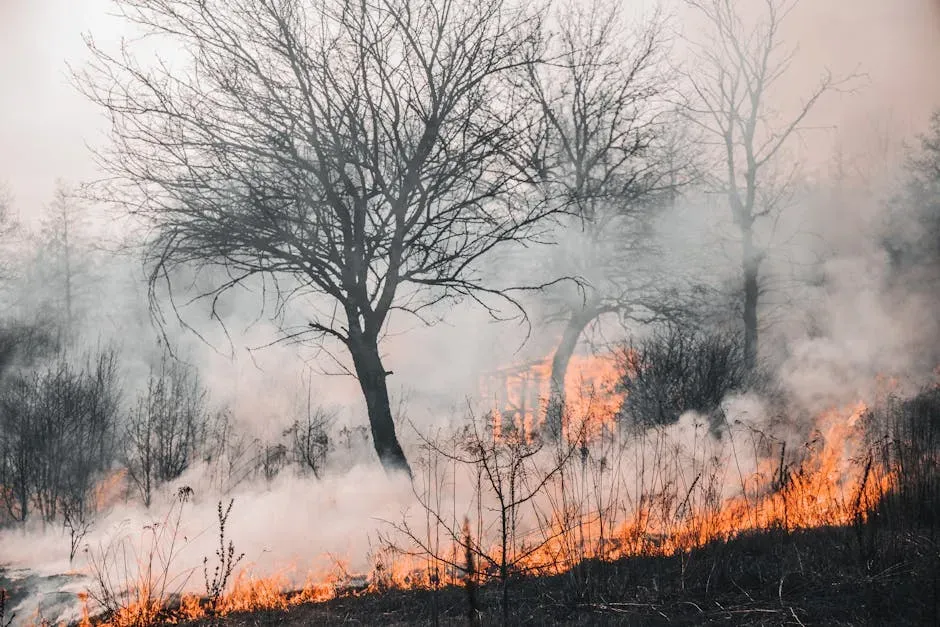
None of these rankings are guesswork. FEMA’s National Risk Index currently provides risk data down to the county level, and as of January 2025 there were 485 counties in the United States carrying a Very High rating for wildfire risk. That’s a substantial share of the roughly 3,100 counties nationwide, and it spans far more geography than the Western states most people associate with fire danger.
The scoring itself pulls from multiple layers of data. Wildfire risk scores are derived from vegetation and fuel load, climate conditions such as temperature, humidity, wind patterns and precipitation, topography including steep slopes that accelerate fire spread, and historical fire data that reveals patterns and likelihood of future events. Insurance companies now lean on these same kinds of models when setting premiums, which is part of why homeowners in high-risk counties have watched their rates climb in recent years.
Checking Your Own County’s Standing
If you’re curious where your own county falls, the tools are freely available and don’t require any specialized knowledge to use. You can type the name of your community, tribal area, county, or state into the Wildfire Risk to Communities platform to view interactive charts and maps about wildfire risk. FEMA’s National Risk Index offers a similar county-level lookup for anyone who wants a second data point.
These platforms typically break risk down into categories like housing exposure, wildfire likelihood, and mitigation potential rather than a single blunt score. That level of detail matters, because two counties can carry the same overall risk label for very different reasons, one from dense forest fuel, another from wind-driven grassland fire, and the practical response to each looks quite different on the ground.
The Bigger Picture Going Forward
The forecast for the rest of this decade doesn’t suggest the pattern is reversing. AccuWeather predicts 65,000 to 80,000 wildfires will burn 5.5 to 8 million acres in 2026, with the highest fire risk expected across the Southwest, Rockies, Great Basin, and Interior Northwest. Notably, that outlook anticipates fewer individual fires but larger ones, meaning the fires that do ignite are likely to be harder to contain.
What’s changed most isn’t just the number of acres burning. It’s the map of where that burning happens. Counties that spent decades planning for floods or tornadoes are now writing wildfire protection plans for the first time, and the places on this list, from Southern California’s suburbs to Nebraska’s grasslands, are the clearest evidence yet that wildfire risk in America no longer follows the old regional script.
