


- Real Estate Analysts Just Changed Their Mind About the Safest Places to Buy – Here’s Why - November 12, 2026
- Black Holes Firing Beams at Near-Light Speed – 5 Cosmic Engines Warping Spacetime - November 12, 2026
- Silent Rogue Worlds Drifting in Total Dark – 6 Planets Ejected From Their Star Systems - November 12, 2026
Most people hear “polar vortex” on the evening news and picture a monster storm parked over the Arctic. The reality is quieter and a bit stranger. It’s a permanent region of cold, low pressure air high above the pole, and it’s usually well behaved.
Every so often, though, something shifts. Frigid air that normally stays near the top of the world slips south, and places like Texas end up with hard freezes, burst pipes and strained power grids. Understanding why takes a short tour through the atmosphere.
What the polar vortex actually is
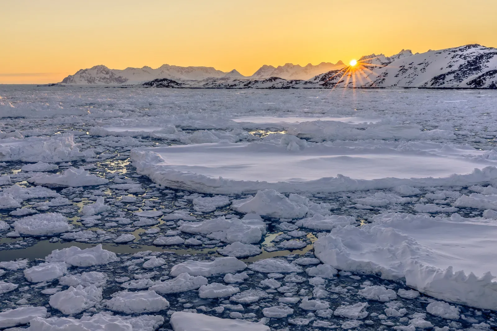
The polar vortex is a large area of low pressure and very cold air that circles each pole. It exists all year but is strongest in winter, when the polar night leaves the Arctic without sunlight. The cold air is held inside by strong winds that circle the pole.
It isn’t a storm, and it isn’t new. Scientists have described it for many decades. The term only became a household phrase after several widely covered cold outbreaks in the 2010s.
Two vortices, not one
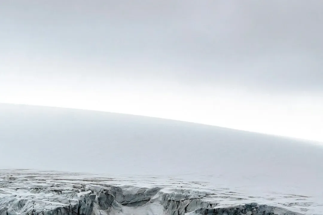
There are really two layers to think about. The stratospheric polar vortex sits roughly 10 to 50 kilometers up, while the tropospheric one reaches lower into the weather layer where we live. Both rotate counterclockwise around the pole.
The stratospheric vortex is the one most often linked to dramatic cold outbreaks. Changes up high can filter downward over days to weeks. That delay is why forecasters watch the upper atmosphere closely in winter.
The jet stream acts as a fence
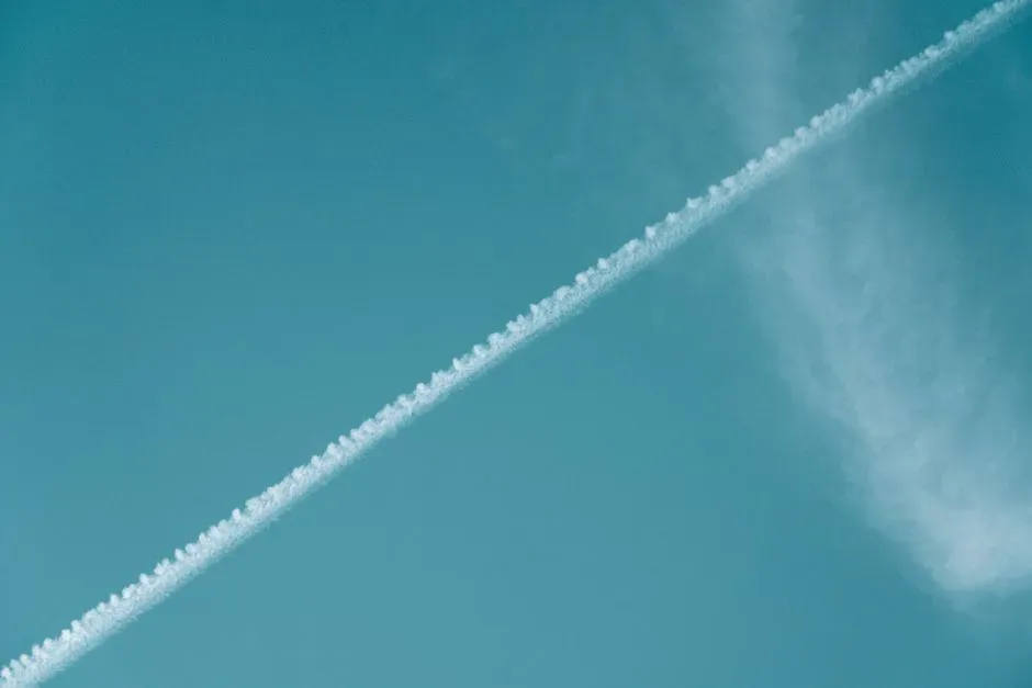
Think of the jet stream as a boundary between cold polar air and milder air to the south. When the jet runs fast and fairly straight, it keeps the cold locked up north. Strong west to east winds make for a tighter fence.
When the jet weakens, it tends to buckle into big waves. Those waves let Arctic air dip far south in one place while warm air surges north in another. So a cold snap in Texas can coincide with unusually mild weather somewhere else.
Sudden stratospheric warming
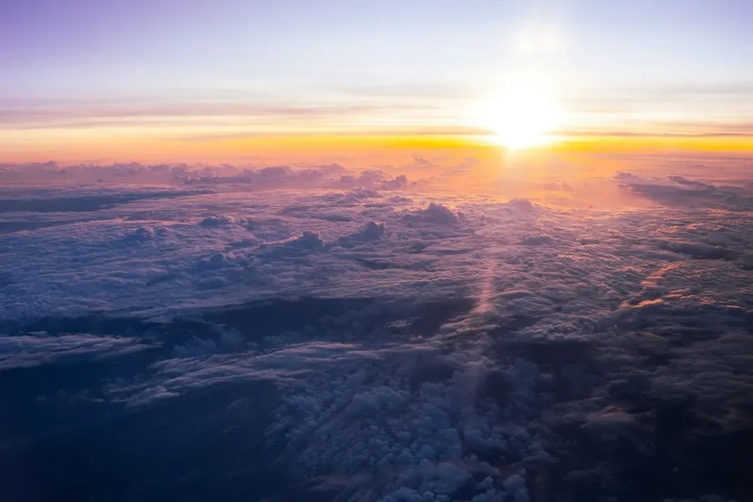
One of the best known triggers is sudden stratospheric warming. Large atmospheric waves rising from the lower atmosphere can disturb the vortex, and temperatures in the stratosphere can climb dramatically within days. The vortex winds can weaken sharply, or even reverse.
A weakened or split vortex doesn’t guarantee cold at the surface. It simply raises the odds of cold outbreaks in parts of the Northern Hemisphere over the following weeks. The effect varies from event to event, which is why forecasts stay cautious.
How cold air actually reaches Texas
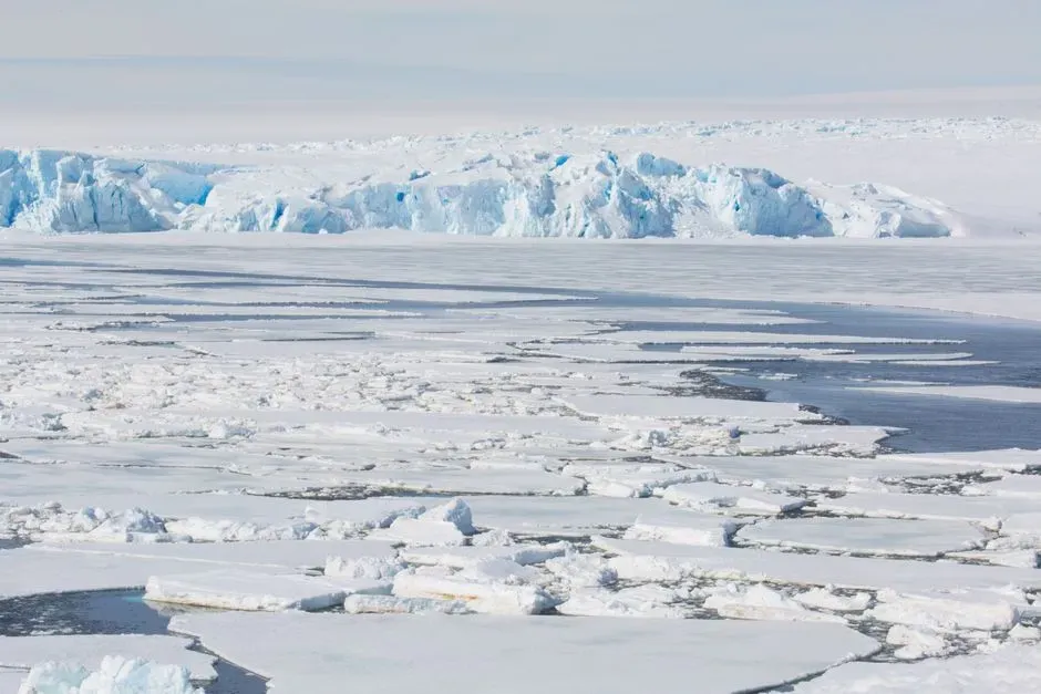
Texas has no mountain range blocking the path from Canada. Cold air can drain south across the Great Plains with little resistance, which is why Arctic outbreaks can feel sudden there. Residents often describe temperatures falling dramatically in a matter of hours as a front arrives.
The air itself doesn’t need to be a piece of the vortex. It’s usually cold air that gets pushed out of the Arctic when the circulation becomes disrupted. By the time it reaches the Gulf Coast it has warmed somewhat, but it’s still extreme for a region built around heat.
February 2021 as the benchmark
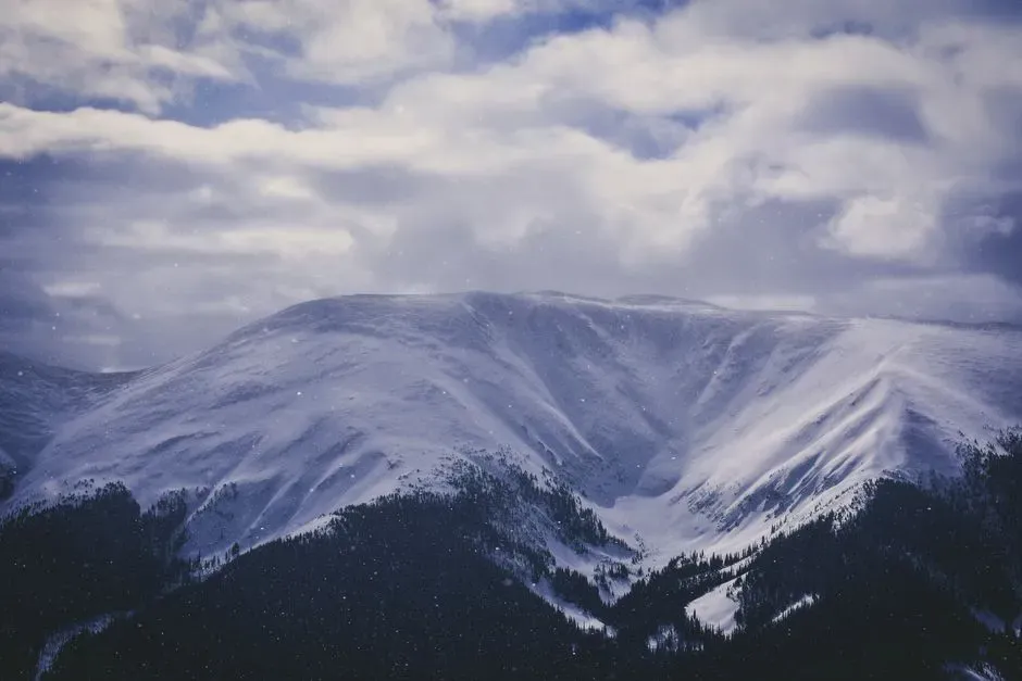
The best known Texas example is the February 2021 freeze. A stratospheric warming event earlier that winter preceded a stretch of severe cold across the central United States. Texas saw prolonged below freezing temperatures, and the state’s grid came under enormous strain.
Widespread power outages followed, and the event is widely regarded as one of the costliest weather disasters in state history. Investigations afterward focused on winterization of power plants and natural gas supply, not only on the weather itself. It remains the reference point for cold preparedness in the state.
Is climate change involved?
This is still debated among researchers. Some studies propose that rapid Arctic warming may make the jet stream wavier and cold outbreaks more likely in mid-latitudes. Others find weak or inconsistent evidence for that link.
What most scientists agree on is that the world is warming overall, and that cold extremes in the United States have become less frequent over the long term. A single freeze doesn’t contradict that trend. The open question is whether vortex disruptions are changing in ways that matter for surface weather.
How forecasters spot the signs
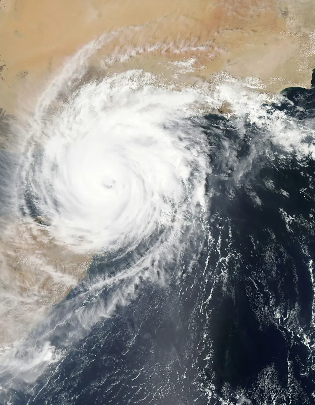
Meteorologists track stratospheric temperatures and wind patterns, along with indicators of how the Arctic Oscillation is behaving. A negative phase often lines up with cold air spilling south. Computer models can flag these shifts one to two weeks ahead, though exact placement of the coldest air is harder to pin down.
The National Weather Service and private forecasters issue winter storm and hard freeze alerts as events get closer. Short range forecasts are far more reliable than outlooks reaching weeks out. That’s why updates matter more than any single early prediction.
Preparing for a deep freeze
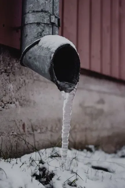
For households in places like Texas, the practical steps are simple. Insulate exposed pipes, know where your water shutoff is, and keep a supply of food, water and warm bedding. Let faucets drip during a hard freeze to reduce the chance of pipes bursting.
Heating safety matters too. Never run a generator or grill indoors, since carbon monoxide poisoning is a real risk during outages. Check on neighbors, especially older adults, and follow guidance from local officials and your utility.
Key points to remember
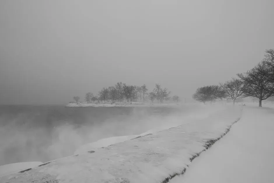
The polar vortex is a permanent feature of the polar atmosphere, not a storm. Cold outbreaks happen when it weakens or gets disrupted and the jet stream lets Arctic air escape south.
Texas is exposed because open terrain gives cold air a clear path from Canada. Forecasters can often see the setup coming days or weeks ahead, which gives people time to prepare.
