


- The Planet Where It Rains Liquid Glass – 7 Alien Worlds Defying Known Physics - November 14, 2026
- Stars Consuming Entire Worlds – 6 Planetary Systems Swallowing Their Own Worlds - November 14, 2026
- The Ground Liquefies Like Water – 6 Silent Fault Lines Geologists Watch Closely - November 14, 2026
Photographs of Mount St. Helens come in two kinds. One shows a snowy, almost perfectly shaped cone above a forest and a clear blue lake. The other shows a gray, torn landscape that looks closer to the surface of another planet.
The change between them took place on a single Sunday morning in southwest Washington. The nine scenes below compare the area before the eruption with what visitors and scientists see there today.
Photo 1: The Symmetrical Cone Before the Eruption
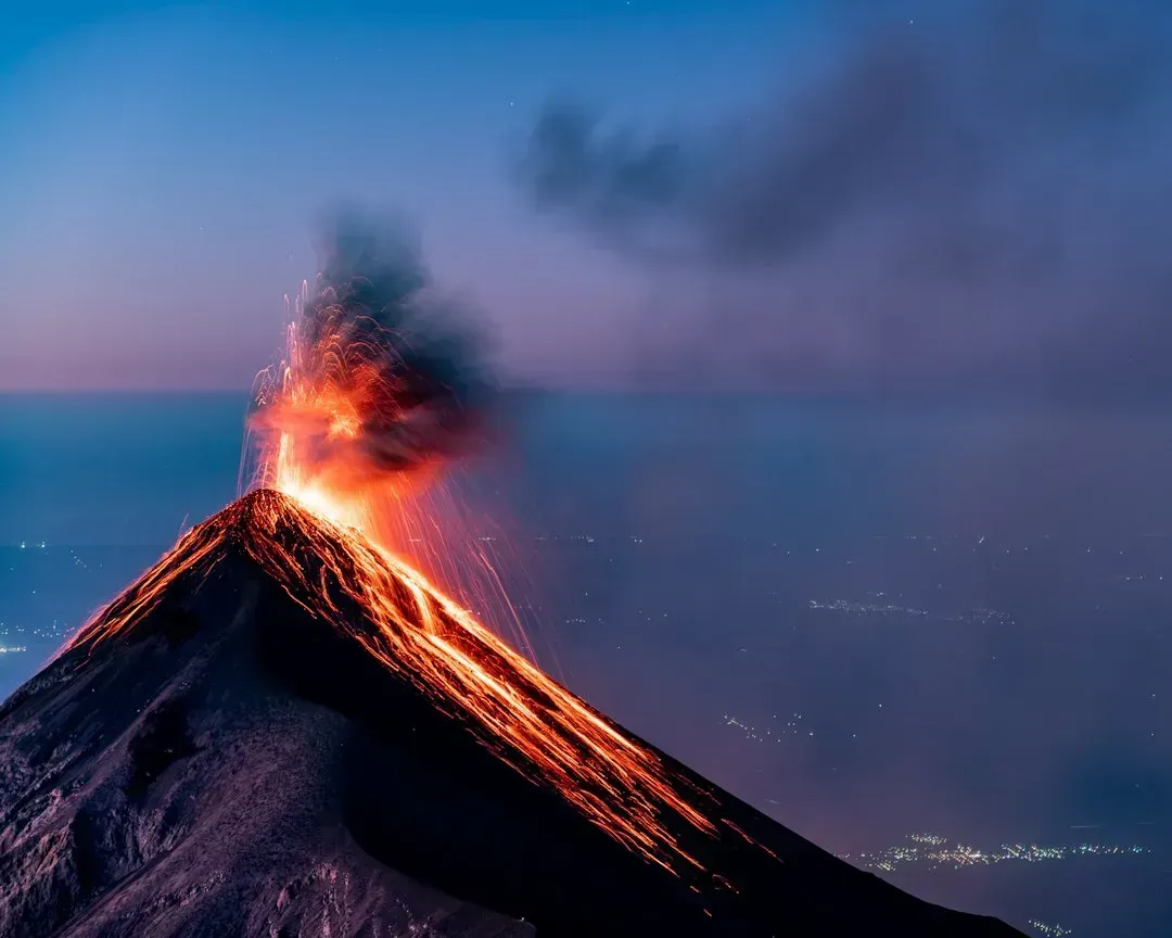
Before 1980, Mount St. Helens was known as the Fuji of America because of its smooth, snow covered shape. Its summit stood at about 9,677 feet. Campers, anglers and families visited the lakes and forests on its flanks.
The mountain had been quiet for decades. Then in March 1980 a run of earthquakes began, followed by small steam explosions. A bulge started to grow on the north side, and the U.S. Geological Survey tracked it as it swelled outward.
Photo 2: The Summit Today
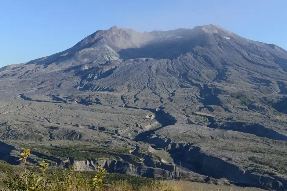
The modern view is of a mountain with its top missing. The summit now sits at roughly 8,363 feet, so about 1,300 feet of the peak disappeared in the eruption. A huge crater shaped like a horseshoe opens to the north.
That crater is the clearest sign of what happened. Seen from the north, it looks like a cut made with a giant spoon. From the south, the mountain still looks fairly intact, which can be confusing for first time visitors.
Photo 3: The Moment of the Landslide
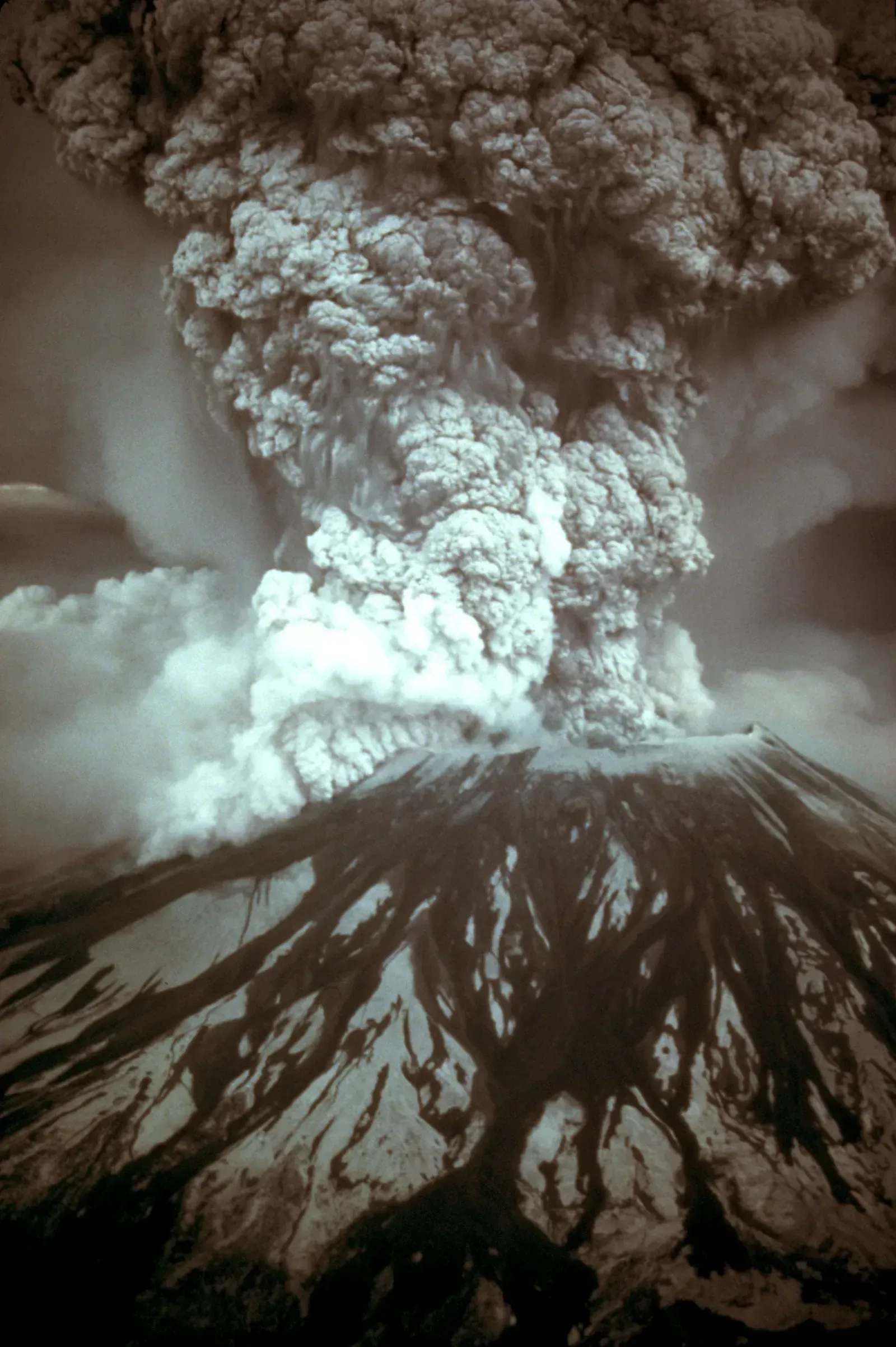
At 8:32 a.m. on May 18, 1980, an earthquake of about magnitude 5.1 shook the mountain. The weakened north face let go in the largest landslide in recorded history. That sudden release of pressure set off the explosion that followed.
The moving mass of rock and ice raced into the North Fork Toutle River valley. It buried the valley floor in hummocky deposits that are still visible and still being studied. The debris avalanche contained roughly a few billion cubic yards of material.
Photo 4: The Blast Zone Forest
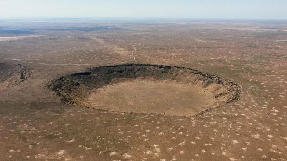
Old photographs show dense stands of fir and hemlock. Then the lateral blast swept out sideways from the mountain and flattened trees across an area of about 230 square miles. Near the volcano, trees were stripped and scorched. Farther out, they lay in rows pointing away from the crater.
Today, that same ground is green again, though the story is uneven. Planting by timber companies and the Forest Service restored forest in many places. Within the volcanic monument, scientists chose to let nature take its course and watch the recovery unfold.
Photo 5: Spirit Lake Then and Now
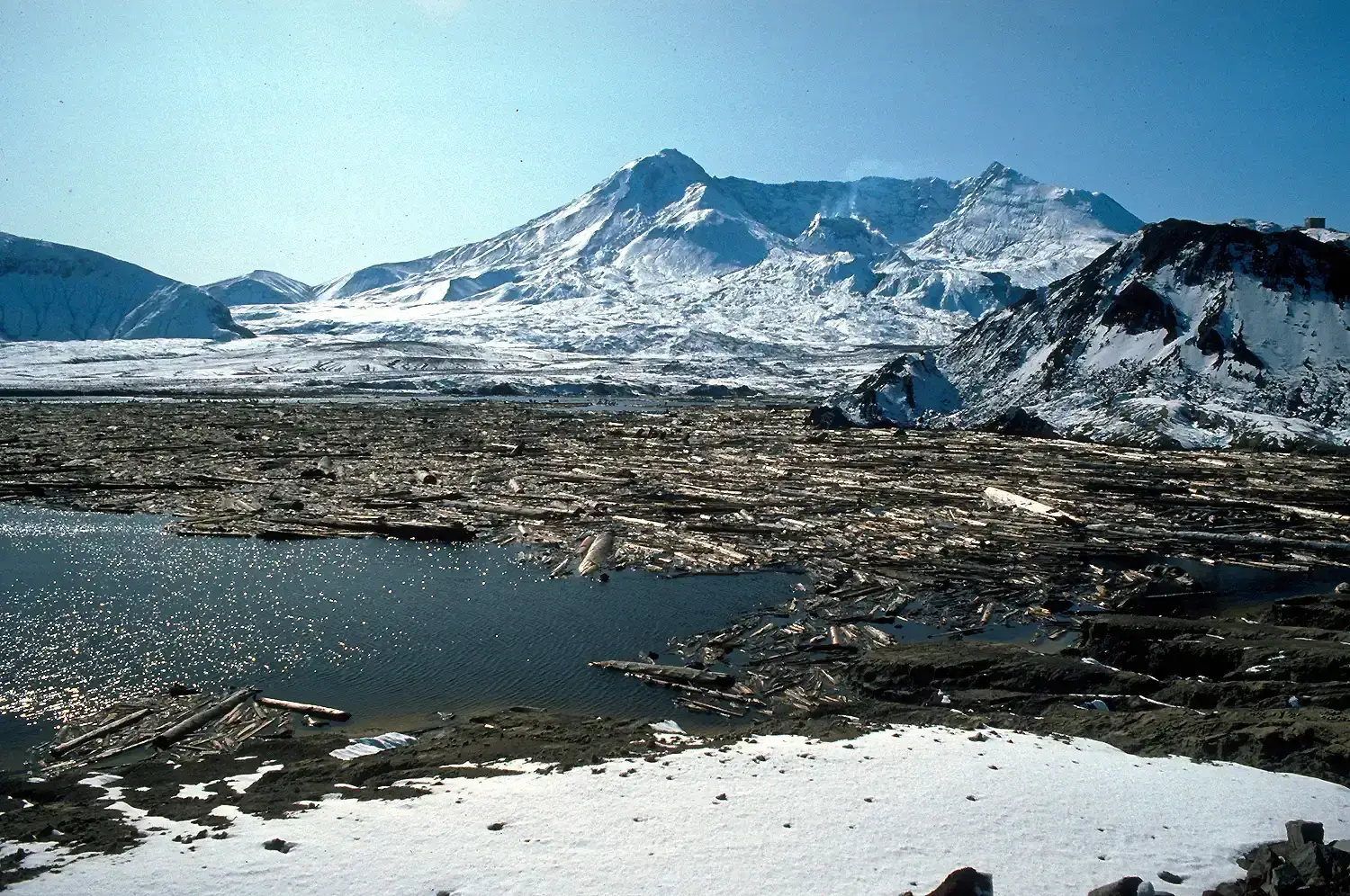
Before the eruption, Spirit Lake was a popular recreation spot with lodges and summer camps. The debris avalanche surged into it, and the water was pushed up the surrounding hillsides. The lake bottom rose, and the lake became larger and shallower than before.
Floating logs from the blast still cover a big part of the surface. They form a drifting mat that moves with the wind. Engineers also built an outlet tunnel in the 1980s to keep the lake level stable and protect communities downstream.
Photo 6: The Toutle River Valley
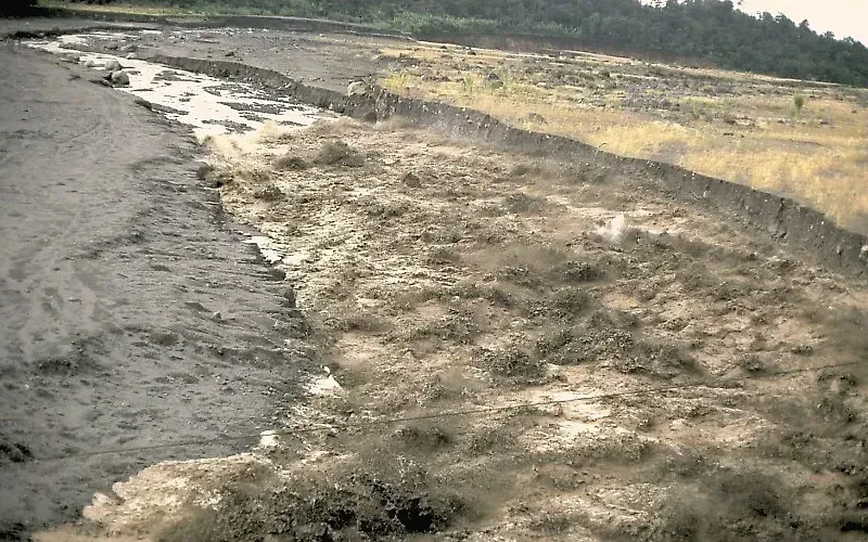
The Toutle River once ran through a forested valley lined with homes and roads. The eruption melted snow and glacier ice, which mixed with ash and debris to form mudflows called lahars. They tore down the valley, destroying bridges and buildings along the way.
The river system carried so much sediment that it clogged the Cowlitz River and even reached the Columbia. Today the Toutle is a braided stream in a valley that has been permanently reshaped. A sediment retention structure built in the late 1980s helps keep material from moving downstream.
Photo 7: The Pumice Plain Comes Back to Life
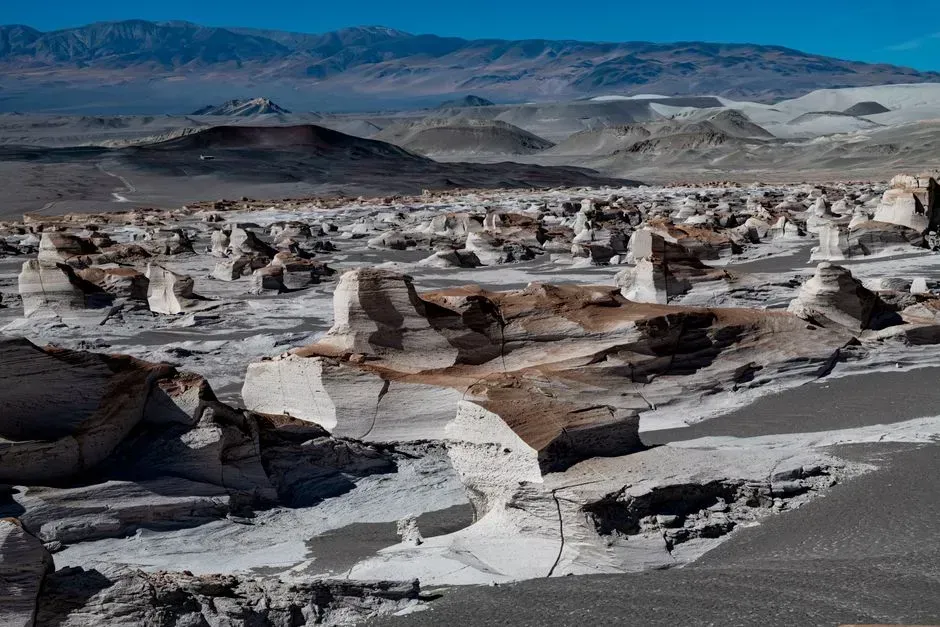
Right after the eruption, the area north of the crater was a sterile expanse of gray pumice and ash. Almost nothing seemed able to live there. Researchers expected recovery to take a very long time.
Yet plants gained a foothold within a few years. Prairie lupine was among the early arrivals, and its roots add nitrogen to poor soil. Insects, birds, elk and amphibians followed, which is why ecologists still study the site as a living laboratory.
Photo 8: Coldwater Lake, a New Body of Water
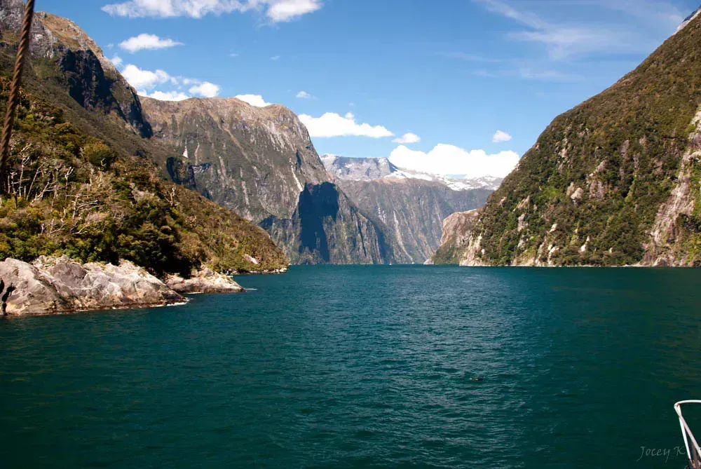
Coldwater Lake did not exist before 1980. Debris from the landslide dammed Coldwater Creek and the water backed up behind the blockage. The lake that formed is now several miles long and a favorite stop for visitors.
It is one of several new lakes created by the eruption. Today you can walk trails along its shore and see young trees growing among the scarred hills. The scene looks calm, though it only exists because of the destruction that came before.
Photo 9: The Crater, Lava Dome and Glacier
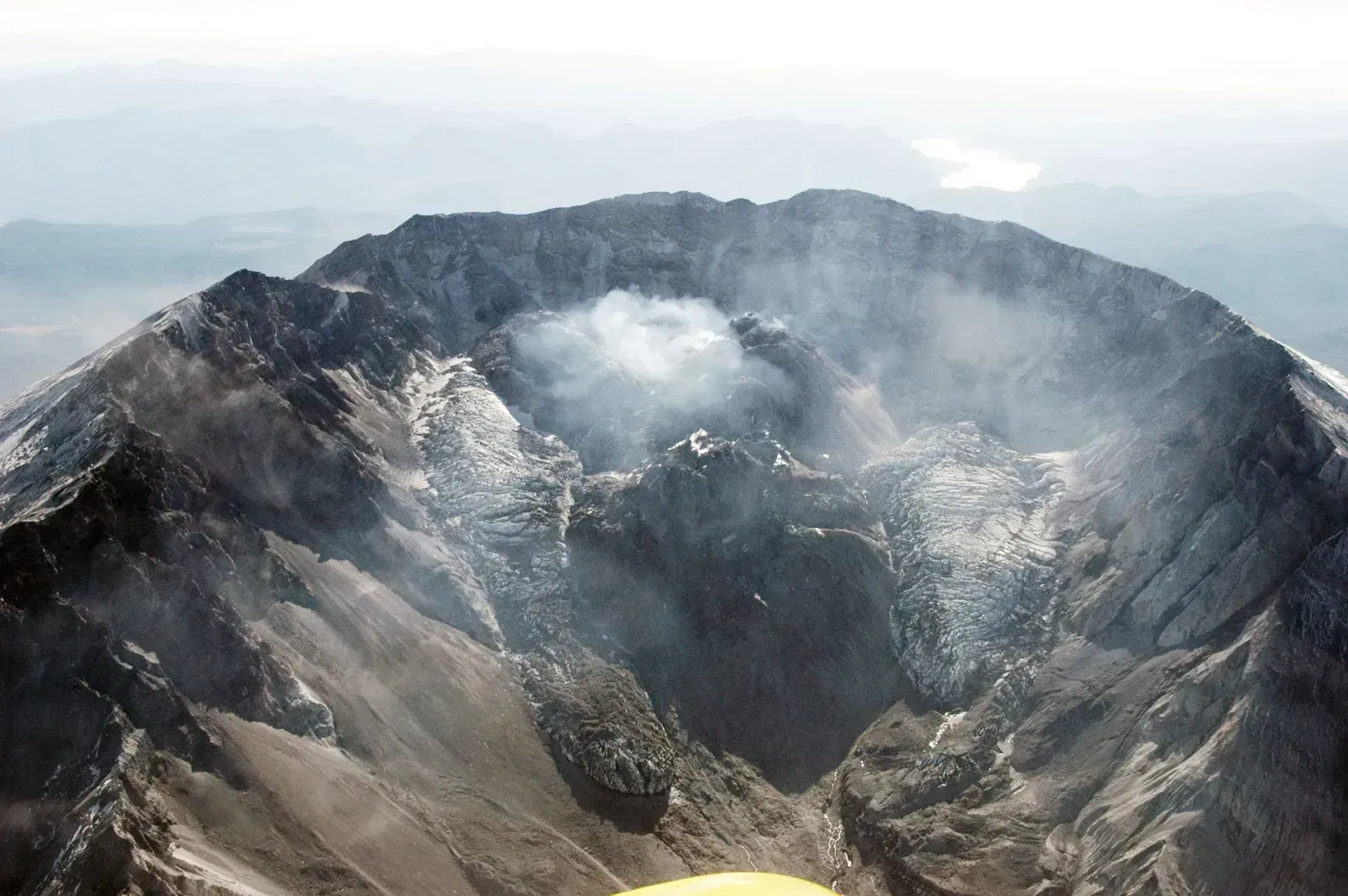
In the years after the eruption, new lava slowly pushed up inside the crater and built a dome. Dome building continued from 1980 to 1986 and returned in a long episode from 2004 to 2008. The dome now fills a good part of the crater floor.
Something more surprising grew there too. Crater Glacier formed in the shaded crater, wrapping around the dome from the south and east sides. It remains one of the unusual sights on the mountain. Monitoring by the USGS Cascades Volcano Observatory continues, because the volcano is still considered active.
What Visitors See at the Monument
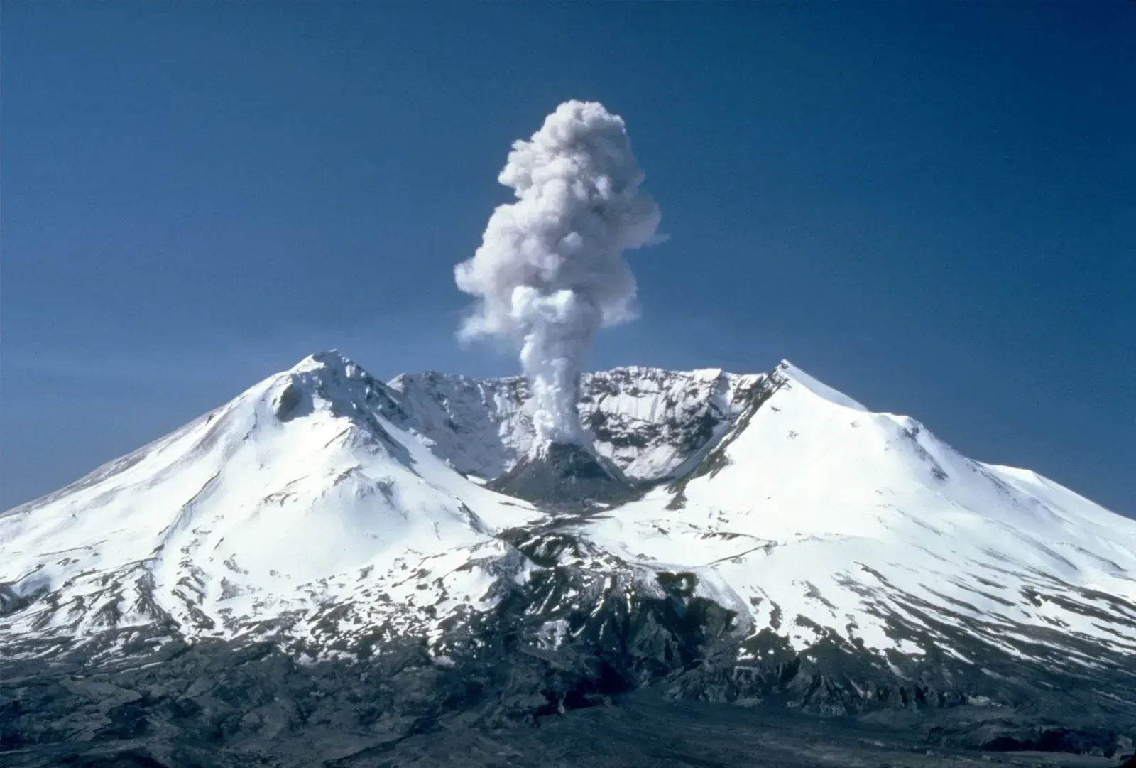
Congress created Mount St. Helens National Volcanic Monument in 1982, covering about 110,000 acres. The Johnston Ridge Observatory offers a direct view into the crater. It is named for volcanologist David Johnston, who died in the eruption along with 56 other people.
Visitors can also explore the Hummocks Trail, the Lava Canyon area and the Ape Cave lava tube. Opening dates of roads and facilities vary by season and by repair work, so the Forest Service is the best source for current conditions.
