

- Phantom Energy Sucking Power 24/7 – 7 Home Electronics Quietly Inflating Utility Bills - November 14, 2026
- A Million-Mile Storm Raging for Centuries – 6 Violent Weather Wonders in Our System - November 14, 2026
- Animals Flee Hours Before the Tremor – 7 Natural Warnings Before Disasters Strike - November 14, 2026
Maricopa County, Arizona
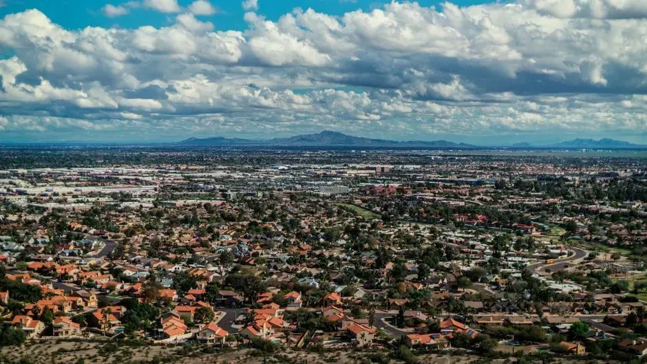
Maricopa County, home to Phoenix and roughly four million residents, sits at the center of Arizona’s ongoing groundwater standoff. Between 70% to 80% of the water Arizona takes out of the Colorado River goes to agriculture, while cities and industries get between 20% to 30%, according to the Arizona Department of Water Resources and other sources. That imbalance matters because the county’s explosive suburban growth depends on a river system that is no longer behaving the way it did a generation ago.
State regulators have responded by tightening the rules on new construction. New regulations require proof of a 100-year water supply for development, sparking legal disputes and raising concerns about future urban growth. The debate over how to balance new subdivisions against a finite aquifer is unlikely to be settled before the end of the decade.
Pinal County, Arizona
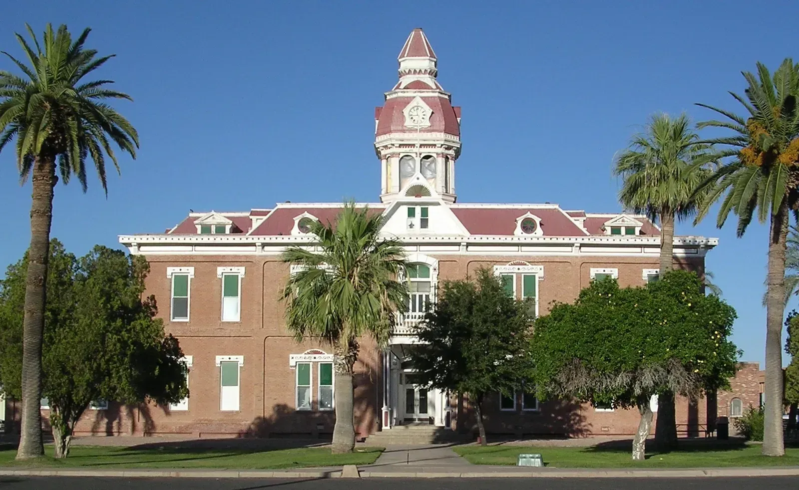
Just south of Phoenix, Pinal County has become something of a bellwether for what happens when a farming region loses its river water first. Farmers in Pinal County knew they were taking a risk nearly two decades ago when they agreed to be among the first people to lose water from the Colorado River if there were a shortage. That bet came due faster than many expected.
In 2022, Arizona implemented the largest cuts under the Colorado River shortage declaration, losing 20% of its Colorado River water, and this shortage fell hardest on farmers in its central valley, who had to choose between using less water, selling their land, or returning to pumping groundwater. Some parts of the Pinal basin appear more insulated than others. One local water official noted the aquifer is only projected to drop by 100 to 200 feet over the next 100 years, while other areas are projected to go down 600 to 700 feet. That unevenness is exactly why Pinal draws so much attention from planners trying to figure out where the next crunch will hit hardest.
Clark County, Nevada
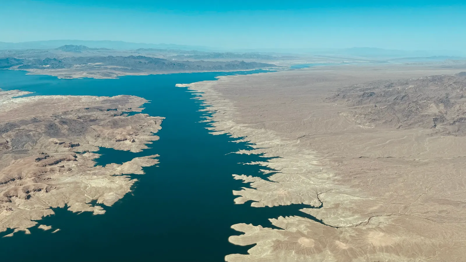
Clark County, anchored by Las Vegas, draws roughly ninety percent of its water from Lake Mead, which makes it one of the most exposed metro areas in the country to a single point of failure. Lake Mead’s elevation has declined by 160 feet since 2000, leaving parts of it dry. The reservoir’s decline has already forced the Southern Nevada Water Authority to build lower and lower intake pipes just to keep pulling water at all.
The region has invested heavily in conservation, banning ornamental grass in new developments and recycling nearly all indoor water use, which has helped stretch its allocation further than population growth alone would suggest. Even so, the underlying supply problem has not gone away. Over the last 100 years, the Colorado River’s flows have declined by 20%, according to The Nature Conservancy, and that long-term trend leaves little room for error in a desert valley with no backup river to fall on.
Riverside County, California
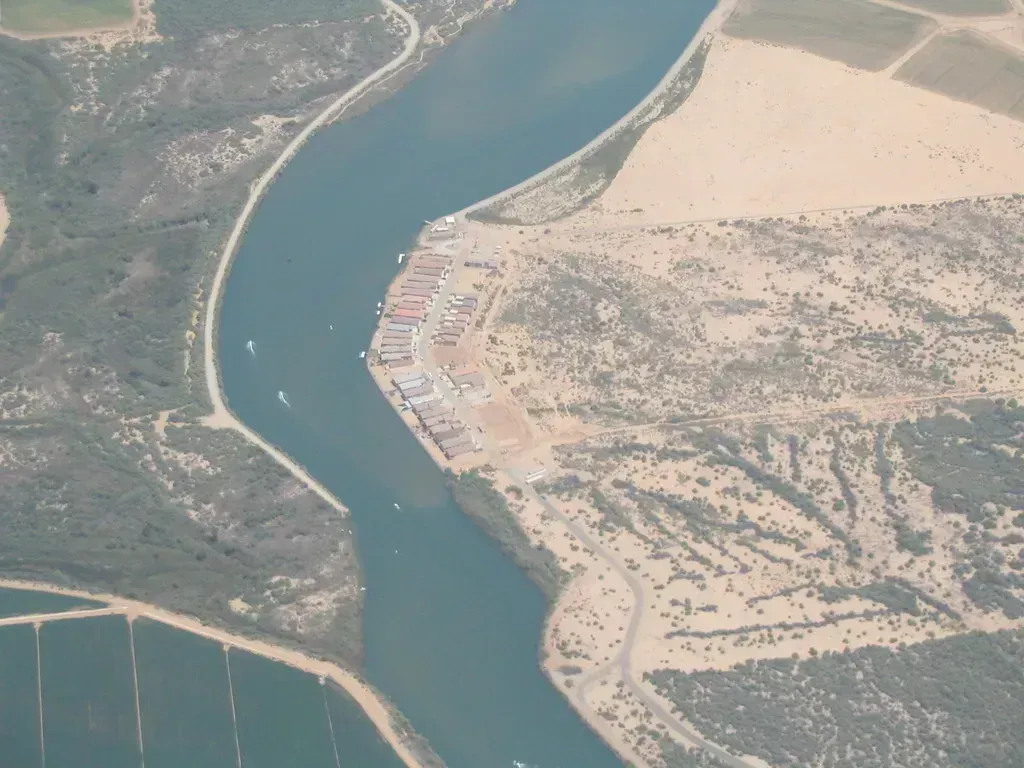
Riverside County stretches from the fast-growing suburbs east of Los Angeles into the Coachella Valley, a region that depends on a mix of imported Colorado River water and groundwater basins under real strain. Population growth here has outpaced the infrastructure built decades ago, and much of that infrastructure was designed around a river system that scientists now describe as fundamentally changed. The county’s desert communities, in particular, rely on aquifers that recharge slowly and are being drawn down faster than nature can refill them.
Local water agencies have pushed conservation mandates and tiered pricing to slow demand, with mixed results depending on the community. The broader regional pressure comes from the same source squeezing Nevada and Arizona: a shrinking Colorado River system that several states depend on simultaneously. Riverside’s exposure is compounded by its status as one of the fastest-growing counties in California, meaning demand keeps climbing even as supply tightens.
Kern County, California
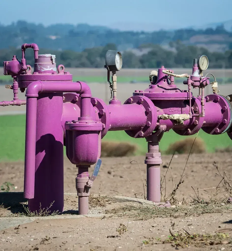
Kern County sits at the southern tip of the San Joaquin Valley, one of the most agriculturally productive regions on the planet, and also one of the most groundwater-stressed. Overpumping groundwater has caused land in parts of the San Joaquin Valley to sink by over one foot per year in many years since 2006. That sinking isn’t just a curiosity, it actively damages the canals farmers and cities rely on to move water in the first place.
A 10-mile-long segment of new canal runs parallel to an old stretch of the Friant-Kern Canal, which delivers irrigation water to farmland and drinking water to San Joaquin Valley residents, and damage caused by subsidence has diminished the canal’s flow by 60%. California’s Sustainable Groundwater Management Act now requires the region’s critically overdrafted basins to reach balance by the early 2040s, but Kern’s water managers have already faced regulatory hearings over incomplete groundwater plans. Per the State Water Resources Control Board, the board continued the Kern County probationary hearing into 2025 as officials scrutinize whether local groundwater agencies are moving fast enough.
Fresno County, California
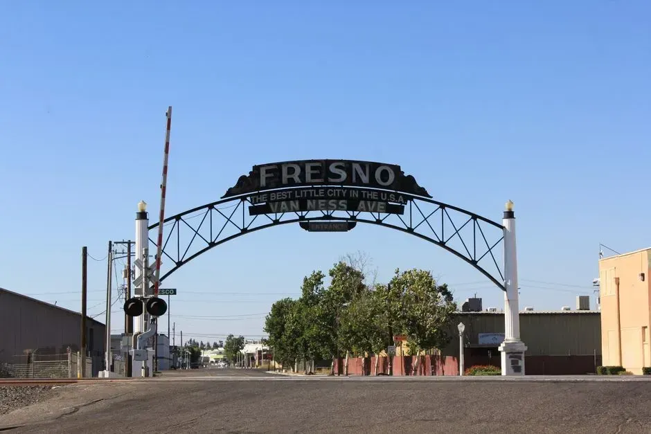
Fresno County shares the same overtaxed aquifer system as its neighbor Kern, and the geology tells a stark story. Since the 1920s, excessive pumping of groundwater at thousands of wells in California’s San Joaquin Valley has caused land in sections of the valley to subside, or sink, by as much as 28 feet. Fresno sits near some of the most dramatic subsidence bowls ever measured by satellite.
The consequences reach well beyond farm fields. Sinking land has cracked well casings, warped canal linings, and in some small unincorporated communities, contaminated the domestic wells families rely on for drinking water. Researchers studying the region have found that the damage tends to concentrate around specific towns and infrastructure corridors rather than spreading evenly, which means some Fresno County neighborhoods face a much more acute version of the crisis than others just a few miles away.
Imperial County, California
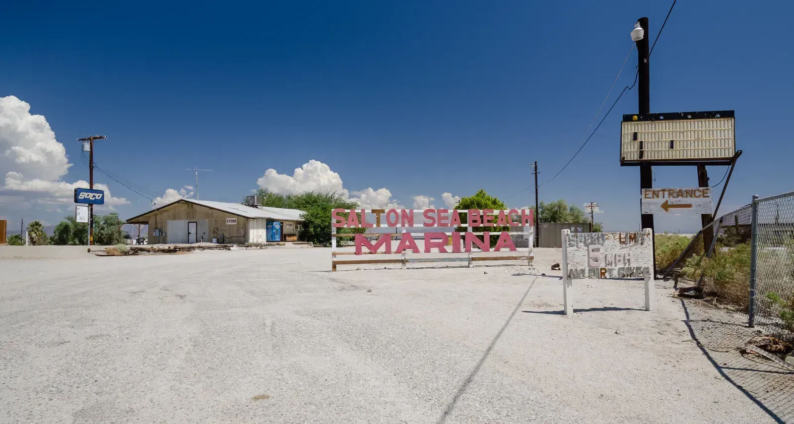
Imperial County holds the single largest entitlement to Colorado River water of any water district in the country, a legacy of agreements struck more than a century ago when the river’s flow looked far more abundant than it does now. That entitlement has made the county a frequent subject of negotiations among the seven states that share the river, since any meaningful cutback almost always starts with a conversation about Imperial Valley agriculture. The Salton Sea, fed partly by agricultural runoff from these same farms, has been shrinking for decades, exposing dry lakebed that generates health-damaging dust across the valley.
Farmers here have signed deals to fallow fields and sell conserved water to urban Southern California, a trade that keeps cities supplied but slowly reshapes the county’s agricultural economy. With the broader Colorado River Basin still working through interim operating guidelines meant to last through the end of the decade, Imperial County remains one of the places where the next round of water cuts is most likely to be negotiated first.
El Paso County, Texas
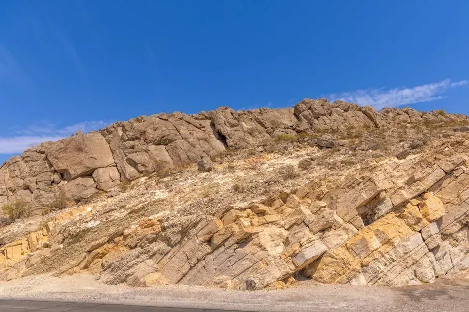
El Paso sits at the far western edge of Texas, dependent on a shrinking share of the Rio Grande and on the Hueco Bolson aquifer that has been pumped hard for generations. The Palmer Drought Index showed two-thirds of the Rio Grande Basin facing moderate to extreme drought by mid-2024, a river that supplies freshwater to seven U.S. and Mexican states. That kind of basin-wide stress leaves border communities like El Paso with fewer options than they once had.
The city has invested in one of the most advanced desalination and water reuse programs in the country, treating brackish groundwater and even purifying wastewater to drinking standards. Those investments have bought time, but they don’t change the underlying reality of a river basin under sustained drought pressure. More than 18 million Texas residents are at risk of being affected by drought, according to the National Integrated Drought Information System, and El Paso’s location at the driest end of the state puts it near the front of that exposure.
Cochise County, Arizona
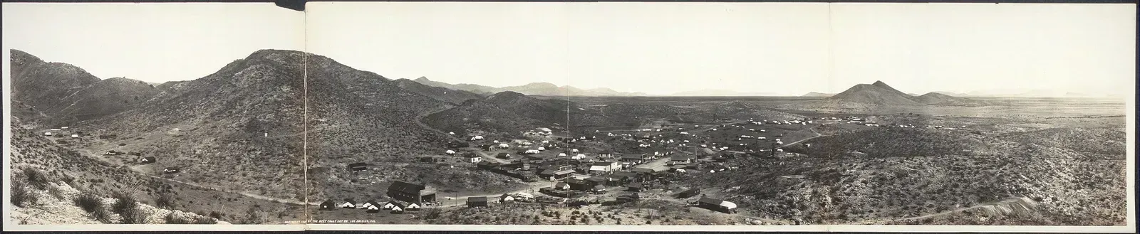
Cochise County, tucked into Arizona’s southeastern corner, has become a case study in what happens when groundwater pumping goes largely unregulated. Unlike Maricopa or Pinal, most of Cochise County falls outside the state’s Active Management Areas, meaning there are far fewer legal limits on how much water landowners can pump from underground. Large-scale agricultural operations, including out-of-state dairy and nut farms, have moved into the region specifically because water rules are looser there.
The result has been a measurable drop in groundwater levels around the Willcox basin, with some domestic wells running dry as nearby agricultural pumping intensifies. Local residents have pushed for the county to be added to a management area, but those efforts move slowly through the state legislature. Without new restrictions, hydrologists studying the basin expect the decline to accelerate rather than level off before 2030.
Douglas County, Colorado
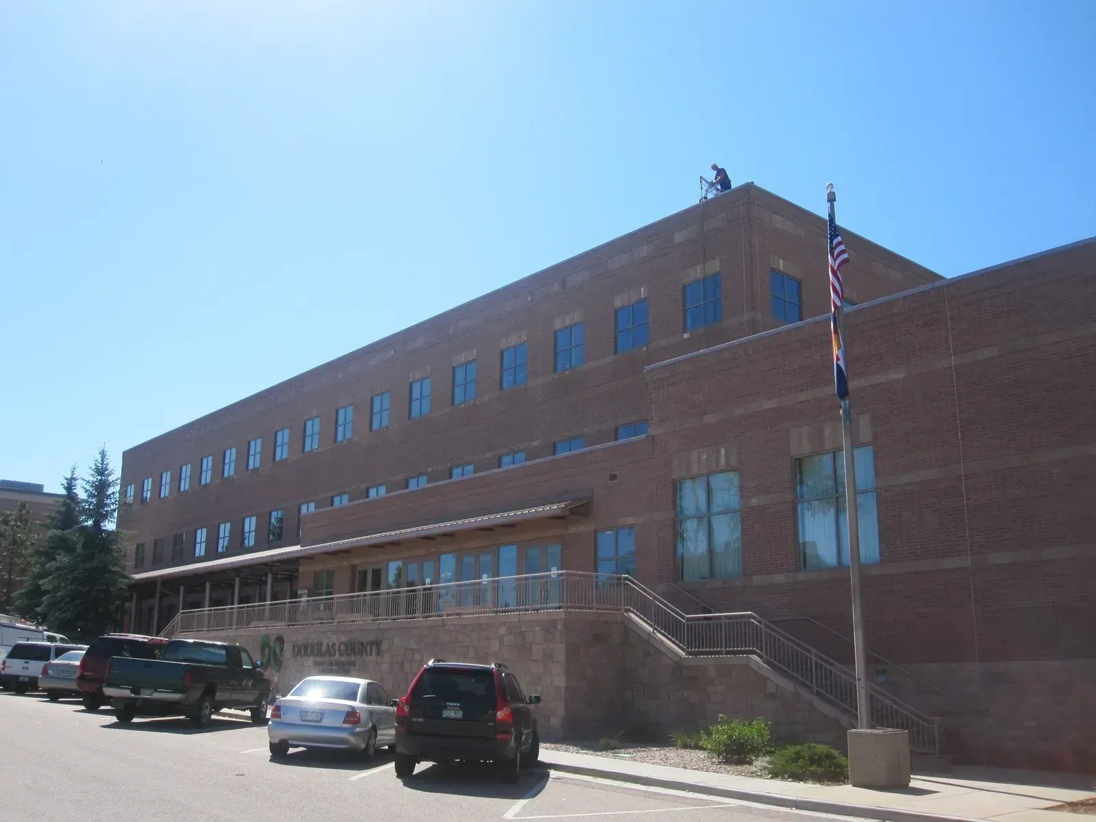
Douglas County, wedged between Denver and Colorado Springs, is one of the fastest-growing counties in the country, and its water supply strategy has long leaned on something that doesn’t really renew: the deep Denver Basin aquifer. Much of that groundwater was deposited thousands of years ago and refills at a pace that has nothing to do with how quickly new subdivisions are pumping it out. Planners in the county have known for years that the aquifer alone cannot support the population growth already approved on paper.
Water providers have responded by buying agricultural water rights from farms along the South Platte and Arkansas rivers, a strategy that shifts the pressure onto rural irrigators instead of solving the underlying supply gap. Colorado’s broader water planning documents have flagged the Denver Basin’s non-renewable aquifers as a long-term vulnerability, not a short-term fix. Douglas County’s growth trajectory means that vulnerability is likely to become more visible well before the end of this decade.
What These Counties Have in Common

Nearly every county on this list shares the same underlying pattern: a river or aquifer system built for a smaller population and a wetter climate, now stretched to serve far more people than it was ever designed for. Western and Southwestern states face intense pressure on their water systems, with states like California, Arizona, and Nevada experiencing high water stress due to limited supplies and increasing demand. That regional concentration is not a coincidence, it reflects decades of growth built on the assumption that rivers like the Colorado would keep flowing at historical rates.
The path forward in most of these counties involves some combination of conservation mandates, water recycling, and politically difficult conversations about slowing agricultural pumping. Experts stress that planning and investment can dramatically reduce the risk of acute shortages, through steps such as modernizing pipes and treatment plants, diversifying supply through conservation, reuse, and in some cases desalination, and protecting groundwater and surface water from overuse and pollution. Whether those measures arrive fast enough remains the open question for each of these ten counties as 2030 approaches.
