

Miami, Florida
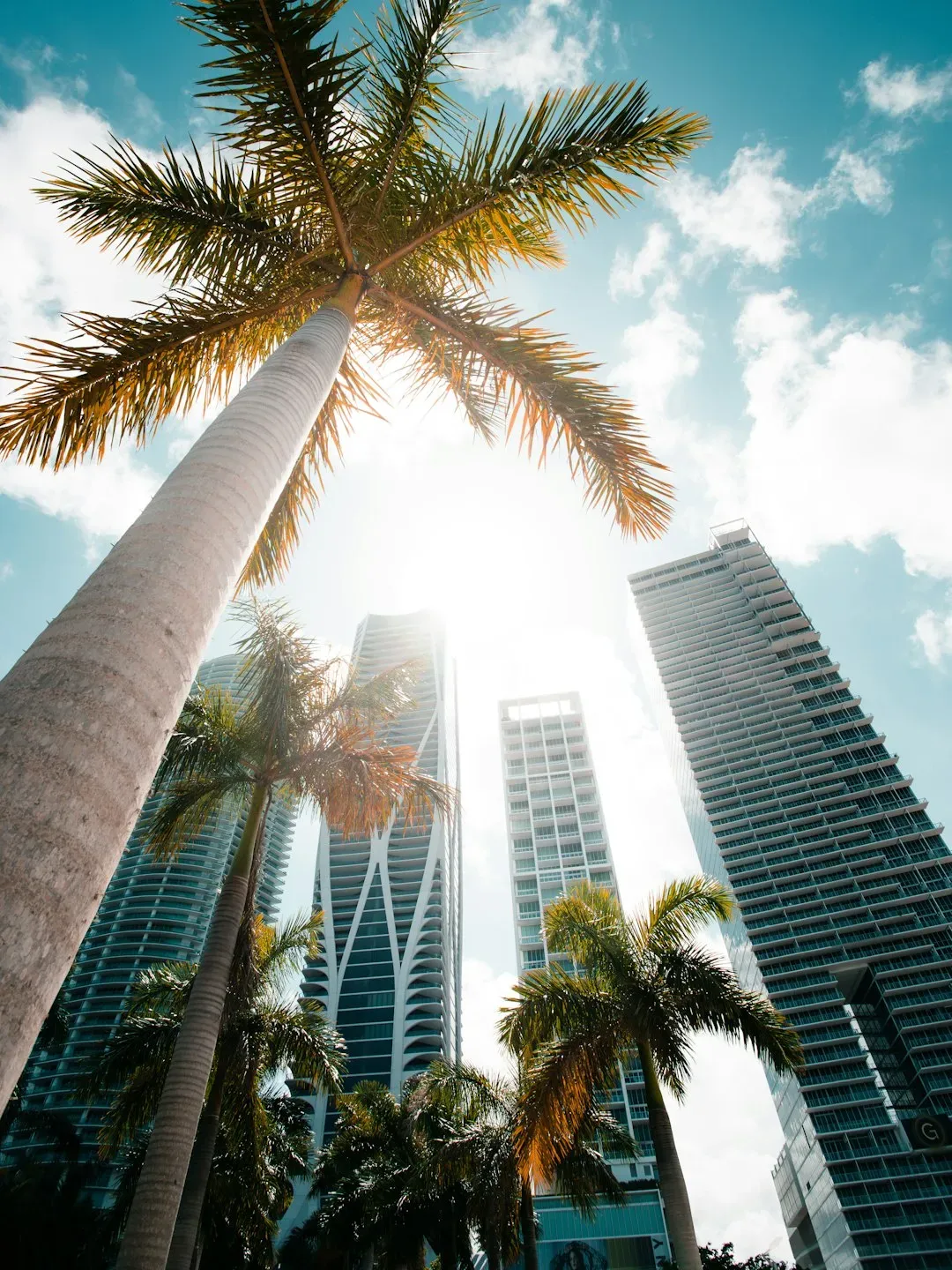
Miami sits at the center of nearly every conversation about climate-driven insurance collapse, and the numbers back that up. First Street’s research projects Miami will see the steepest insurance premium increase of any major U.S. metro, with costs potentially rising by 322% between 2025 and 2055 as hurricane risk intensifies. Homeowners there already feel the squeeze. In Miami, the typical single-family homeowner with a standard policy pays annual premiums equal to 3.7% of the home’s market value, the highest ratio among the nation’s 100 largest metros.
The city’s geography does it no favors. Porous limestone bedrock means water can rise up through the ground even when the skies are clear, and Miami now has the second-highest average home insurance cost in the nation, at nearly $17,000 a year, as insurers retreat from the market. Local officials have poured money into pumps and green infrastructure through resilience programs, but insurers largely price based on exposure, not effort, which keeps Miami near the front of every uninsurability forecast.
New Orleans, Louisiana
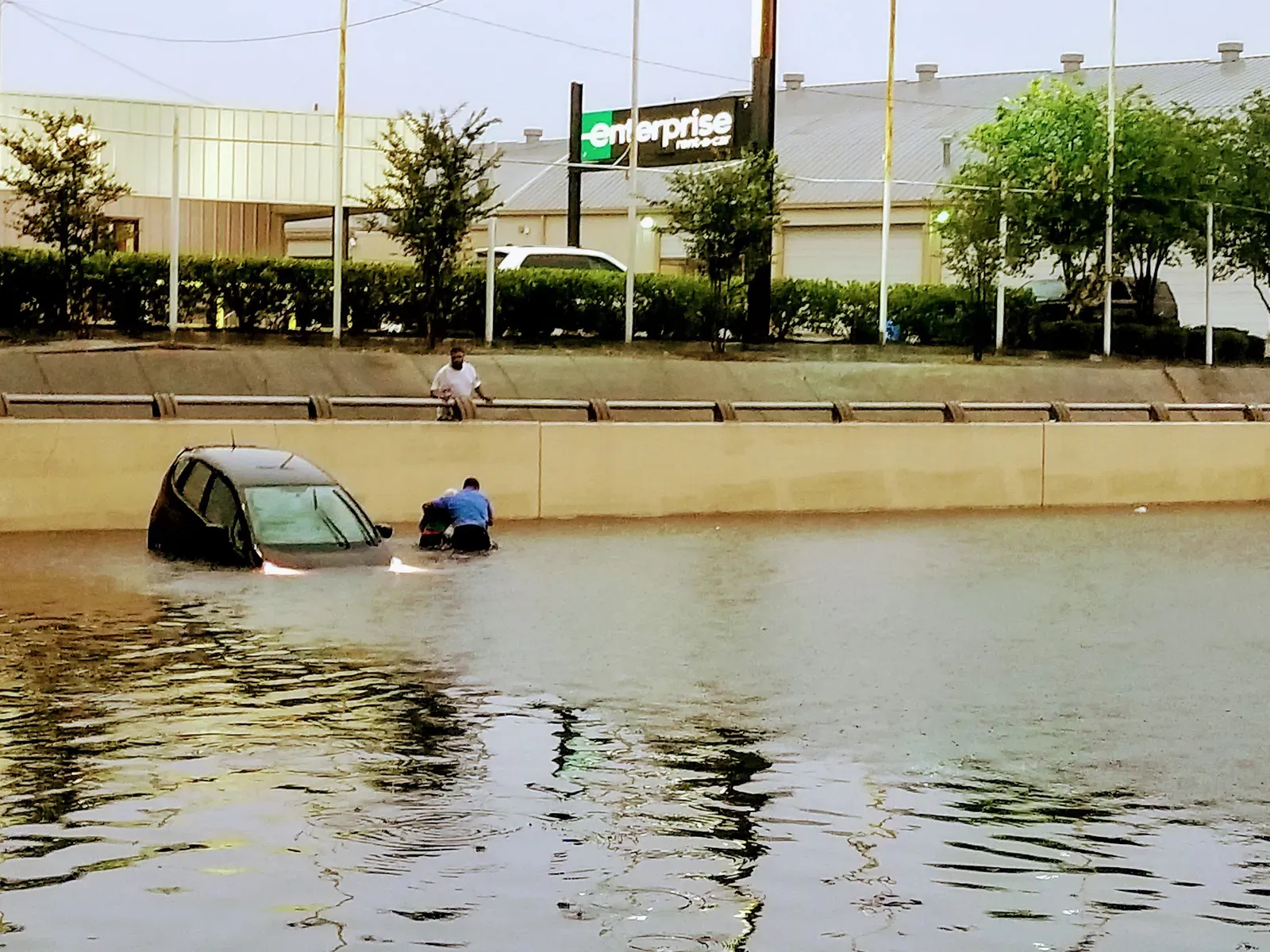
New Orleans carries a grim distinction in climate risk modeling: nearly nine in ten dollars of real estate value in the city sits in a flood zone that federal maps do not fully capture. Researchers found the disparity between FEMA and First Street assessments is most pronounced in New Orleans, where 88.9% of real estate value is at risk. First Street’s own resilience research flagged the city bluntly, with its November 2025 resilience report identifying New Orleans as one of the major urban cores with the weakest climate resilience outlook, largely because much of it sits at or below sea level and continues to sink.
Flood insurance costs there are projected to rise faster than almost anywhere else in the country. First Street’s modeling puts New Orleans at the very top of its flood damage forecasts, with the worst hit metro predicted to be New Orleans, at a staggering 533% increase in flood damages over the coming decades. Combine that with levees that were never designed for today’s storm intensity, and it’s easy to see why reinsurers treat the city as a case study in what uninsurability looks like in practice.
Houston, Texas

Houston’s problem is not just water falling from the sky. It’s the ground itself giving way beneath the city. A 2025 study found that 42% of Houston’s land area is subsiding faster than 5 millimeters per year, with 12% sinking faster than 10 millimeters per year, and some spots dropping as much as 5 centimeters annually. That sinking land compounds an already serious flood exposure problem tied to the region’s flat topography and rapid development.
Wind risk adds another layer. Realtor.com’s climate analysis found Houston among fourteen major metros across Louisiana, Florida, South Carolina, and Texas where every single home is exposed to extreme hurricane wind risk. Insurance premiums have followed accordingly, with typical annual costs in the Houston area running close to double the national average as insurers account for the layered threat of subsidence, flooding, and storm winds hitting the same properties at once.
Tampa, Florida
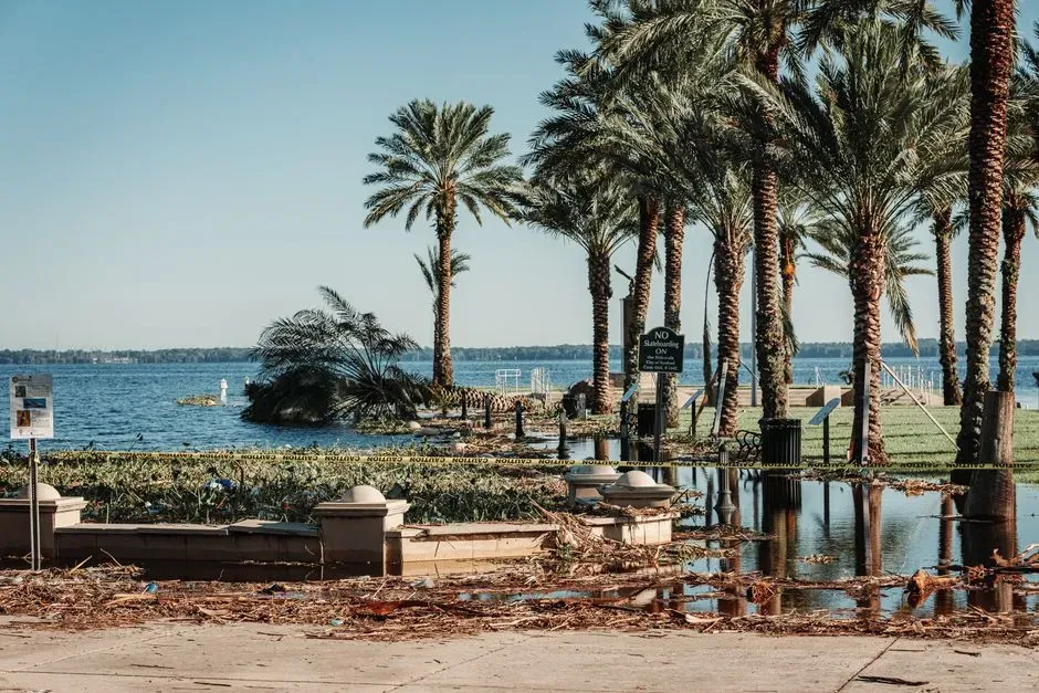
Tampa Bay has spent years being cited by catastrophe modelers as one of the most dangerous places in the country for a direct hurricane hit, largely because it has been spared a true worst case scenario for so long. A widely referenced Karen Clark and Company study estimated $175 billion in losses from a 100-year storm surge event in the region. That kind of exposure is exactly what drives insurers to price policies as if the disaster is a matter of when, not if.
Tampa’s own local planning confirms the risk is not limited to hurricanes. The city’s 2025 Vulnerability Assessment says Tampa faces growing danger from sea level rise, storm surge, and heavy rainfall, with its low elevation and coastal shape making flooding a serious threat when strong storms push water inland. First Street’s premium forecasts reflect that reality, projecting Tampa’s insurance costs to climb by roughly 213% over the next three decades, placing it among the steepest increases of any major U.S. city.
Charleston, South Carolina
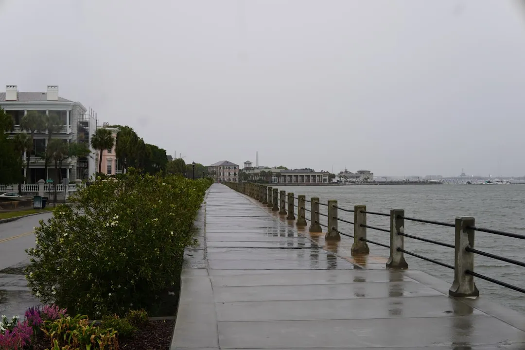
Charleston’s low country charm sits directly in the path of two compounding threats: rising seas and heavier rainfall. Federal data show the city has already experienced about 9 inches of sea level rise since 1970, with the intermediate scenario projecting about 11 more inches by 2050. That is not a distant hypothetical. It is a trend already visible in the historic district during ordinary high tides.
The rainfall side of the equation is getting worse too. Climate researchers at the Woodwell Climate Research Center project stronger extreme rainfall events in the Charleston area by mid-century, and the city got a preview of that risk when a coastal flooding event in October 2025 sent water into downtown Charleston and forced road closures around the city. Insurers watching those trends have grown far more cautious about writing new coastal policies in the historic peninsula and surrounding low-lying neighborhoods.
Norfolk, Virginia
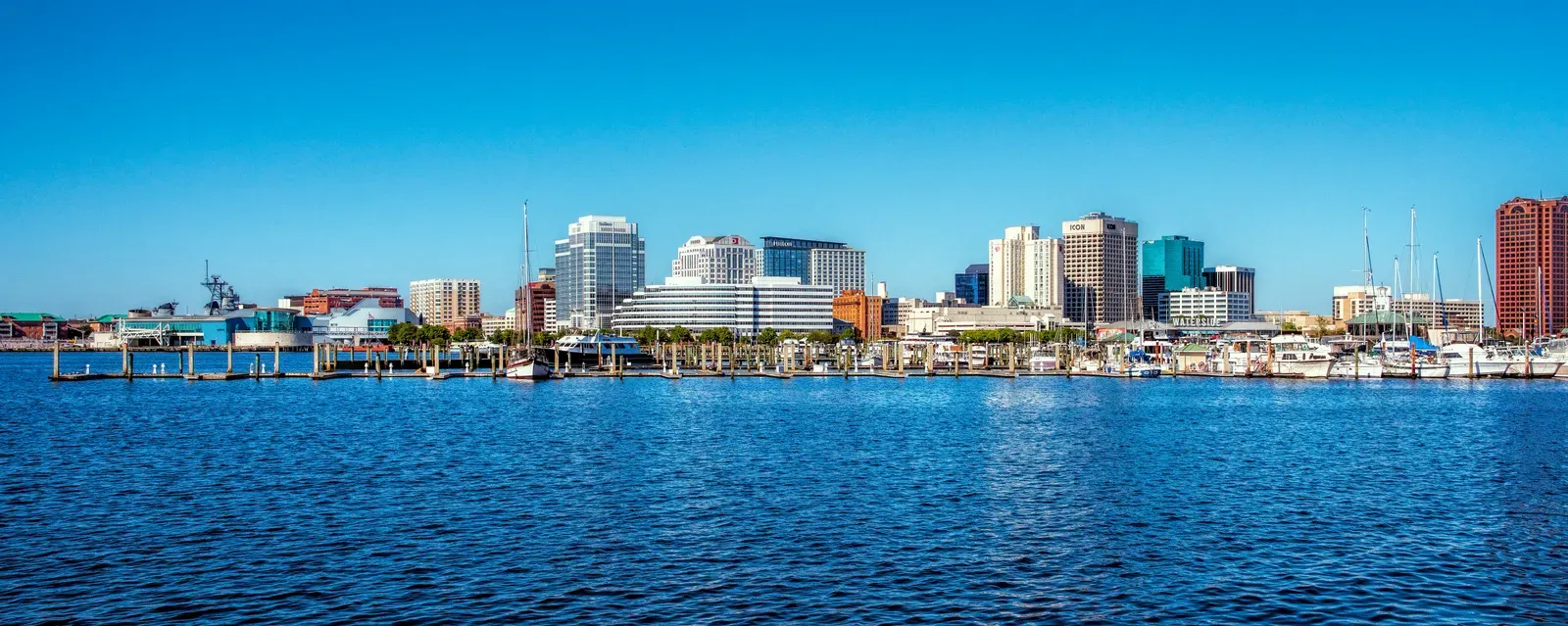
Norfolk rarely gets the same media attention as Miami or New Orleans, but risk analysts treat it as one of the clearest slow-motion insurance crises in the country. Long-term projections cited by The Washington Post suggest some Norfolk streets could flood twice a day at high tide by 2040. That kind of routine, tidal flooding is exactly the sort of chronic risk that pushes insurers toward nonrenewal, since it damages infrastructure and property value gradually rather than through a single dramatic event.
There’s also a national security dimension that makes Norfolk unusual on this list. The city is home to Naval Station Norfolk, the world’s largest naval base, meaning repeated flooding matters not only for local neighborhoods but also for military operations and national security planning across the region. That combination of civilian and military exposure has made Norfolk a frequent case study in federal climate resilience planning, even as private insurers quietly reassess what coverage they are willing to offer along the waterfront.
What this means for homeowners and buyers

- The Shoreline Sucked Dry in Seconds – 5 Tsunami Signals Beachgoers Mistake for Low Tide - November 14, 2026
- 9 Dark-Sky Destinations Around the World Where the Stars Look Unreal - November 14, 2026
- The Fault Line That Never Slips – 7 Locked Seismic Zones Overdue for a Massive Release - November 14, 2026
