


- The Planet Where It Rains Liquid Glass – 7 Alien Worlds Defying Known Physics - November 14, 2026
- Stars Consuming Entire Worlds – 6 Planetary Systems Swallowing Their Own Worlds - November 14, 2026
- The Ground Liquefies Like Water – 6 Silent Fault Lines Geologists Watch Closely - November 14, 2026
1. Memphis, Tennessee
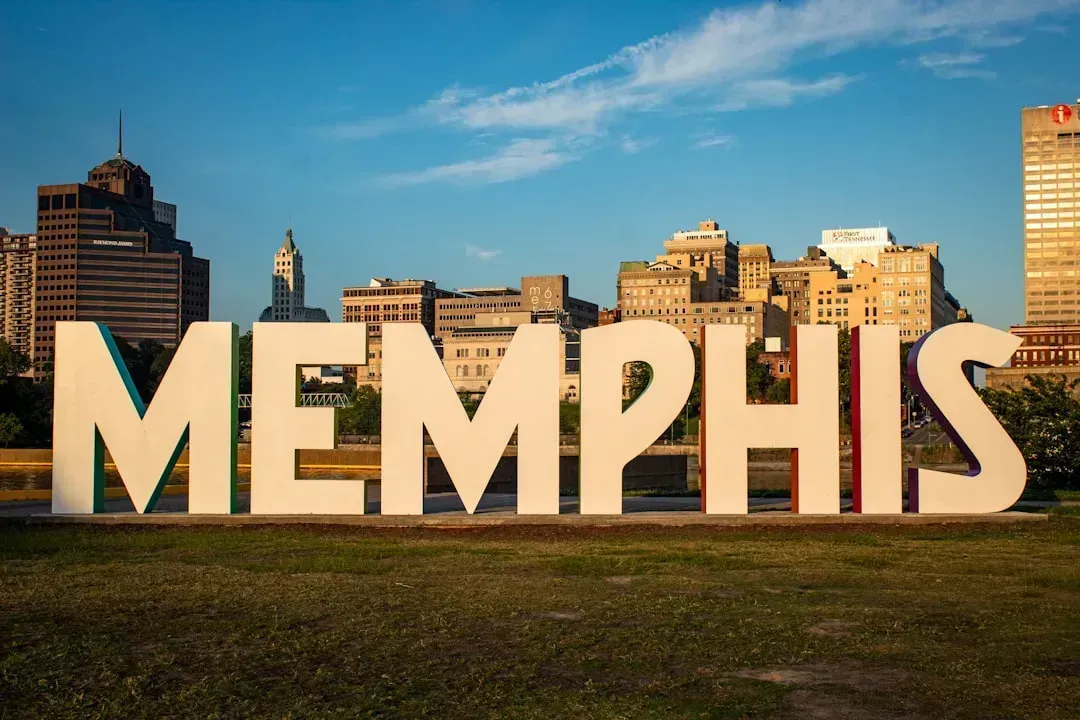
Memphis sits at the southern edge of the New Madrid Seismic Zone, which the USGS describes as the most seismically active and well-researched region in the Central and Eastern U.S. The metro area is considered to have a real chance of a major event, since the Memphis metropolitan area faces a high chance of an earthquake of magnitude 6 or greater in the next 50 years. That alone would put most cities on edge, but Memphis compounds the problem with a huge stock of older brick construction.
Researchers estimate that a repeat of the 1811–1812 sequence could cause severe damage to more than 60% of Memphis’s unreinforced masonry buildings, and the city’s location makes the physics worse. The city sits at the southern edge of the NMSZ and is built largely on soft Mississippi River sediments that would amplify seismic shaking. Government hearings have also flagged the human cost of aging public infrastructure, noting that the City of Memphis, with over one million people in its metropolitan area, would be the most affected urban center, and Memphis has an aging infrastructure, and many of its large buildings, including unreinforced schools and fire and police stations, are particularly fragile when subjected to severe ground shaking.
2. St. Louis, Missouri
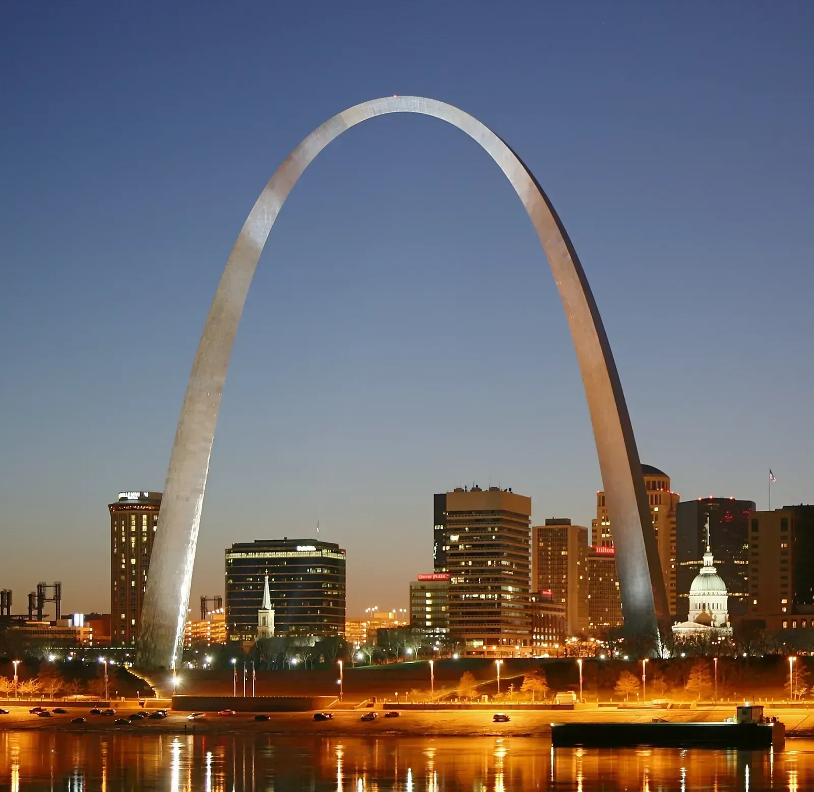
St. Louis sits about 150 miles north of the New Madrid Seismic Zone’s historic epicenter, close enough that the great earthquakes of 1811 and 1812 still left a mark. Historical accounts note that some buildings in St. Louis, 150 miles or more to the north, received damage consisting mostly of broken or collapsed stone chimneys and broken stone buildings of Unreinforced Masonry construction. More than two centuries later, that same building type remains a weak point across the metro area.
State emergency planners are blunt about what a repeat event could mean, warning that un-reinforced masonry buildings and other structures from Memphis to St. Louis could experience serious damage. The probability is not trivial either. USGS estimates cited by Missouri’s own emergency agency put the odds at 25 percent to 40 percent chance of a similar size earthquake occurring within 50 years for a moderate event, while a full repeat of the 1811-12 sequence carries roughly a one in ten chance over the same period.
3. Seattle, Washington
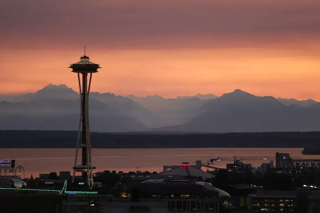
Seattle’s earthquake story has two very different chapters, and both are dangerous in their own way. The first is the Cascadia Subduction Zone offshore, capable of producing a megaquake, while the second is a set of shallow faults running almost directly beneath downtown. As one recent study framed it, the Seattle fault zone is a network of shallow faults slicing through the lowlands of Puget Sound, threatening to create damaging earthquakes for the more than four million people who live there.
The probabilities researchers have attached to these different scenarios are sobering when you add them up. USGS hazard modeling finds an 85-percent chance of a magnitude 6.5 or greater deep earthquake in the Puget Sound region; a 10-15-percent chance of an approximately magnitude 9 earthquake on the Cascadia Subduction Zone; and a 17-percent chance of a magnitude 6.5 or greater crustal fault earthquake in the Puget Sound region in the next 50 years. Seattle’s own emergency management office adds a further wrinkle, noting that liquefiable soils in low lying neighborhoods make ground failure a serious concern even before the shaking itself is factored in.
4. Portland, Oregon
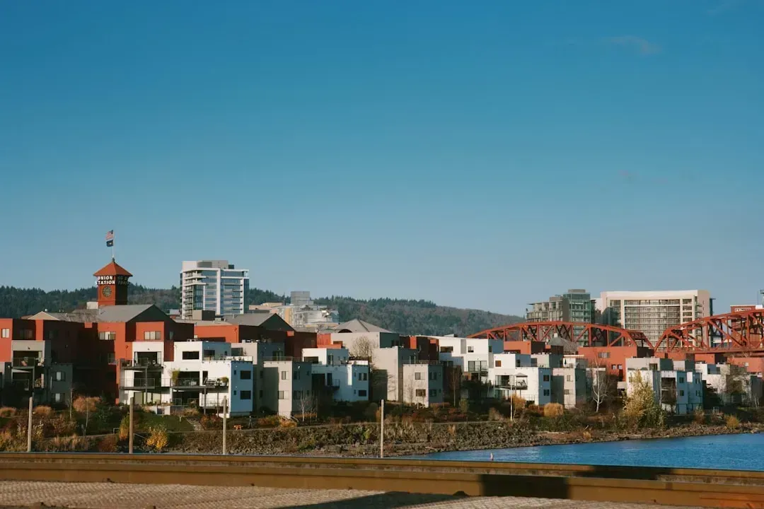
Portland shares Seattle’s Cascadia problem but layers on its own set of local faults. As one summary of the risk put it, Portland’s seismic vulnerability stems from both the Cascadia Subduction Zone and shallow crustal faults within and around the city. The subduction zone has been unusually quiet in recent memory, yet that quiet stretch is part of what worries scientists.
Cascadia’s last confirmed rupture happened centuries ago, and researchers note that there are many active faults around and beneath Portland, and although the subduction zone has been quiet for the last three centuries, scientists have found that the zone can cause the most destructive type of earthquake. Combine that with a metro area built long before modern seismic codes existed, and Portland’s risk becomes less about frequency and more about the sheer scale of a single overdue event.
5. Salt Lake City, Utah
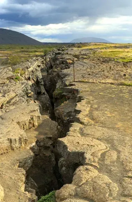
The Wasatch Fault runs for roughly 240 miles right through Utah’s most populated corridor, and federal officials do not soften the language around it. FEMA has called it one of the most catastrophic natural threat scenarios in the country, noting that the Wasatch Fault poses one of the most catastrophic natural threat scenarios in the United States, and despite the lack of high magnitude earthquakes in recent history, the Wasatch Front has a 43% chance of experiencing a 6.75 or greater magnitude earthquake in the next 50 years. That is not a distant, abstract number either, since researchers have already watched a smaller version of it play out.
The 2020 magnitude 5.7 Magna earthquake gave the region a preview, and the pattern it revealed was telling. Analysis of that event found the heaviest structural damage, cracked masonry, fallen chimneys, damaged parapet walls, concentrated in the older neighborhoods of downtown Salt Lake City, the Avenues, and the older commercial districts, exactly where pre-1960 unreinforced masonry buildings dominate the fabric. University researchers studying the valley’s geology have also warned that thicker sediments increase seismic hazard by intensifying ground shaking during an earthquake, meaning a full rupture could shake harder than older models assumed. Federal disaster modeling built around this scenario projects that a magnitude 7 event would cause 2,000 to 2,500 fatalities, mostly due to URM damage.
6. Anchorage, Alaska
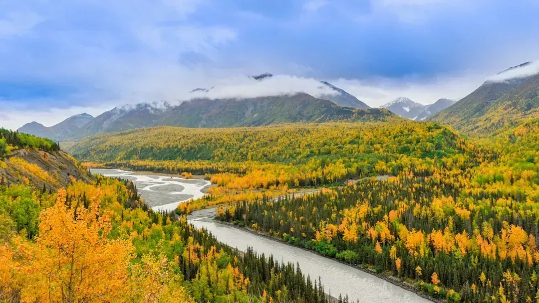
Alaska is not a state most people associate with California style earthquake anxiety, but its seismic history is arguably more extreme. State seismic officials point out plainly that Alaska has more earthquakes than any other region of the United States and is, in fact, one of the most seismically active areas of the world. Anchorage carries the memory of this directly, having endured the second largest earthquake ever instrumentally recorded when the second largest earthquake ever recorded shook the heart of southern Alaska on March 27th, 1964, with a magnitude of 9.2.
What made that event so destructive in Anchorage specifically was not just the shaking but what lay beneath the city. Investigators found that Anchorage, Alaska’s largest city, is about 80 miles west-northwest of the epicenter of the March 27 earthquake, and because of its size, Anchorage bore the brunt of property damage from the quake, sustaining greater losses than all the rest of Alaska combined. A layer of unstable glacial clay beneath the city triggered landslides that USGS scientists still flag today, noting that seismically triggered landslides are one of the greatest geologic hazards in Anchorage. That same clay layer has not gone anywhere, which is why Anchorage remains on nearly every serious list of high risk American cities more than sixty years later.
Why these risks stay hidden in plain sight
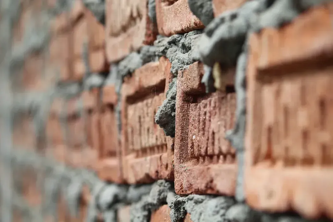
What links Memphis, St. Louis, Seattle, Portland, Salt Lake City, and Anchorage is not just geology. It is a mismatch between how these cities were built and what the ground beneath them is actually capable of doing. Much of the older construction across these regions predates modern seismic codes, and unreinforced masonry keeps surfacing in report after report as the single biggest factor in projected casualties.
California’s earthquake reputation exists for good reason, and its building codes reflect decades of hard learned lessons. The cities on this list, by contrast, often lack that same regulatory history, even though the physical hazard beneath them is just as real. That gap between perceived risk and actual risk is, in the end, the most important fact any resident of these six cities can absorb.
