


- The Planet Where It Rains Liquid Glass – 7 Alien Worlds Defying Known Physics - November 14, 2026
- Stars Consuming Entire Worlds – 6 Planetary Systems Swallowing Their Own Worlds - November 14, 2026
- The Ground Liquefies Like Water – 6 Silent Fault Lines Geologists Watch Closely - November 14, 2026
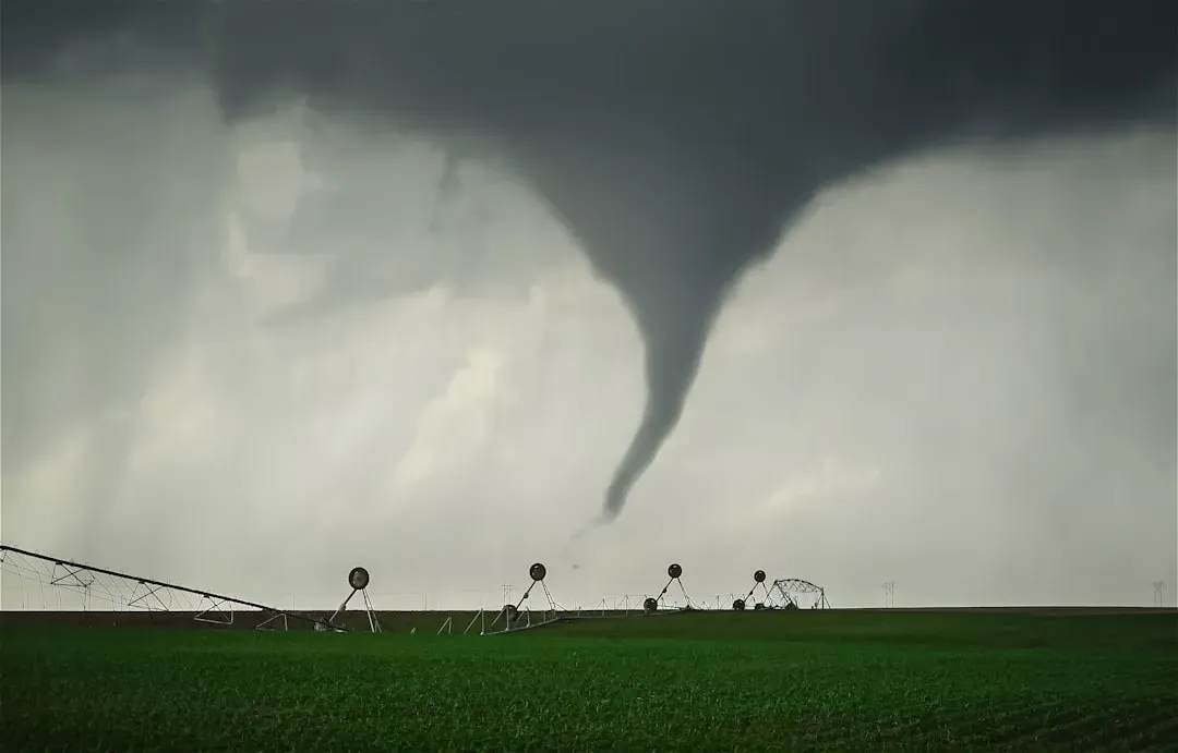
For most of the last seventy years, the phrase “Tornado Alley” conjured a very specific picture: dusty highways cutting through Oklahoma and Kansas, funnel clouds silhouetted against flat horizons, storm chasers racing pickup trucks toward the next supercell. That image is starting to feel outdated. Meteorologists who track tornado data year after year are seeing something different unfold on their maps, and it has less to do with the classic Great Plains and more to do with places like Memphis, Little Rock, and even Louisville.
The shift is real, but the explanation behind it is more layered than a single headline about a warming planet. Drought patterns, ocean temperatures, radar technology, and where people actually live all play a role in how this story is unfolding across the eastern half of the country.
Where “Tornado Alley” Even Came From
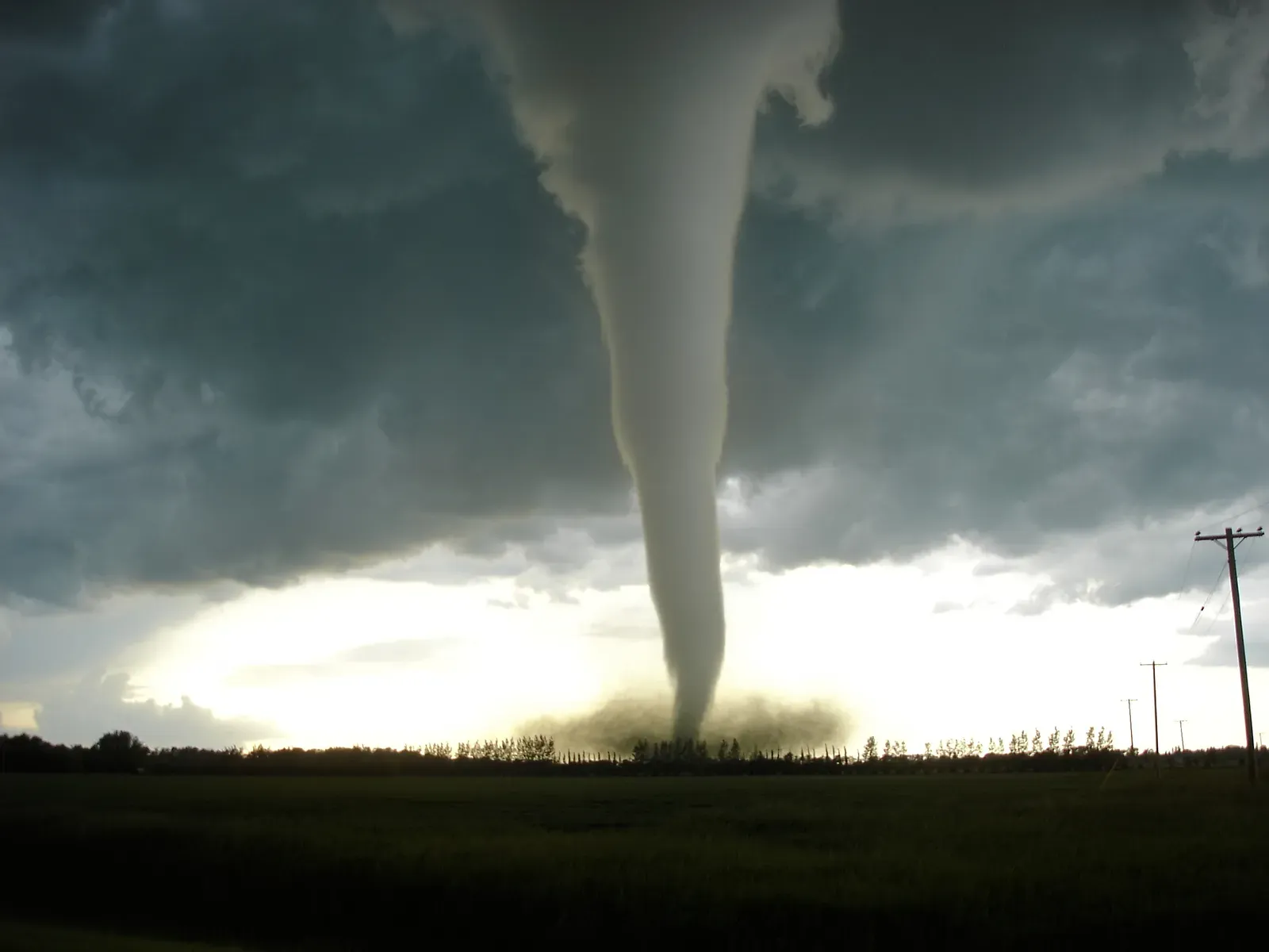
The term itself is younger than most people assume. The term Tornado Alley was coined in 1952 when two meteorologists studied severe weather in parts of Texas and Oklahoma, publishing a research paper by Air Force meteorologists Major Ernest J. Fawbush and Captain Robert C. Miller. Their work grew out of practical necessity, since the two men had created the first modern tornado forecast just a few years earlier.
Since then, the term has stuck around as a way to describe the area that encompasses parts of Texas, Oklahoma, Kansas, Nebraska and South Dakota, where it was believed tornadoes are the most frequent. That definition was created before 2000 and leaves out many vulnerable areas of the U.S. that meteorologists now watch closely every spring and, increasingly, every winter too.
What the Data Actually Shows
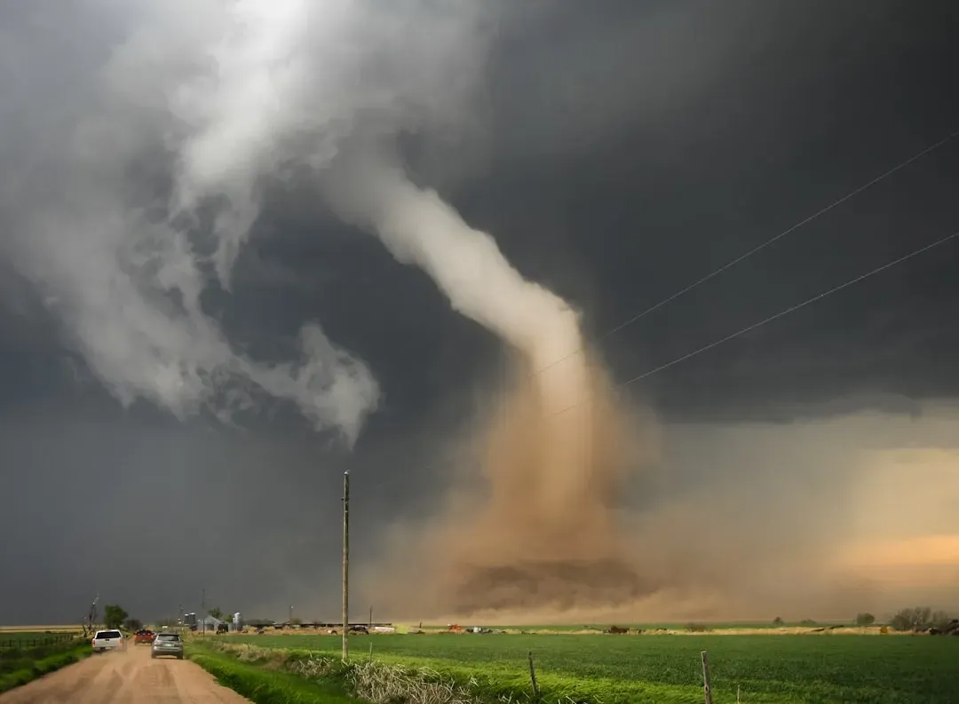
Researchers have not just noticed a vague feeling that storms seem to be hitting different places. Fifty years ago, tornadoes in the United States were most common over the Great Plains, with a bull’s eye of sorts covering parts of Texas, Oklahoma, Kansas and Nebraska, which is how the term “Tornado Alley” entered the American lexicon. That bull’s eye has been steadily losing its grip.
NOAA senior scientist Harold Brooks has spent decades tracking this pattern. Over the mid-south region, so Memphis and the surrounding area, there’s been an increase in the number of days with tornadoes of about one in ten over the last 40 years, and a decrease over West Texas, the Texas Panhandle, and western Kansas of a similar magnitude. A separate analysis comparing two long stretches of history found much the same story. Research comparing tornado numbers, intensity, and path length split the data into 1951 to 1985 and 1986 to 2020, finding a noted decline in tornadoes over “tornado alley” from the first period to the second, alongside an increase in tornadoes over “Dixie Alley” in that same period.
Dixie Alley Steps Into the Spotlight
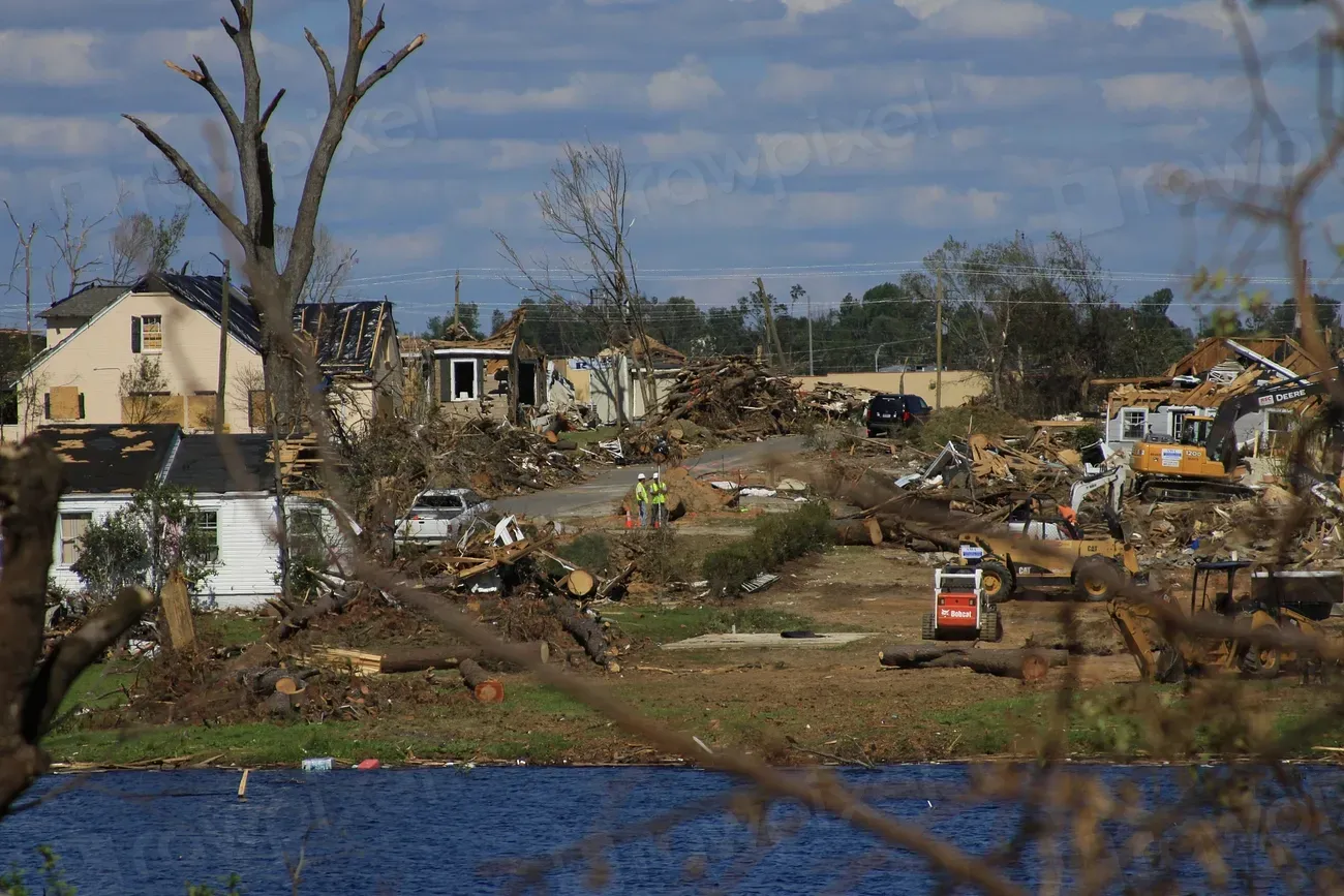
The region absorbing much of this new activity has its own nickname, and it is not a recent invention. Dixie Alley refers to a region in the southeastern United States where tornadoes are particularly frequent and severe, stretching from parts of Texas through Louisiana, Mississippi, Alabama, Georgia, and into Tennessee and Arkansas. The label has existed for years among researchers, but it used to describe a secondary hotspot rather than the main event.
That began changing with academic work more than a decade ago. In 2016, research published by tornado scientist Ernest Agee and his students was the first paper that clearly showed, statistically, the emergence of another center of tornado activity in the Southeast, centered around Alabama. What was once a footnote in tornado climatology has turned into one of the most active tornado zones in the country.
A Drought Out West Is Pushing Storms East
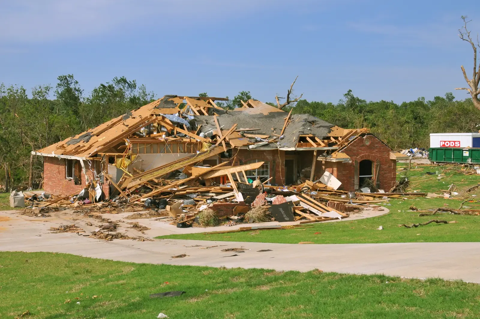
One of the more counterintuitive explanations involves dry weather rather than wet weather. Victor Gensini, a meteorology professor at Northern Illinois University who has tracked this shift since a 2018 paper, points to conditions far from where the tornadoes actually touch down. Gensini proposes that drier air in the plains, due to the decades-long drought in the southwest, could be pushing ideal tornado conditions to the east.
The mechanics behind that idea come down to moisture availability. The drought brings drier air to the Central Plains, pushing the storm track toward the moisture-rich environment of the Southeast. A drought in the southwest is taking away needed moisture for the formation of twisters in the traditional Tornado Alley region, which leaves the atmosphere over Oklahoma and the Panhandle less primed for the kind of instability tornadoes need.
Warmer Gulf Waters Are Adding Fuel
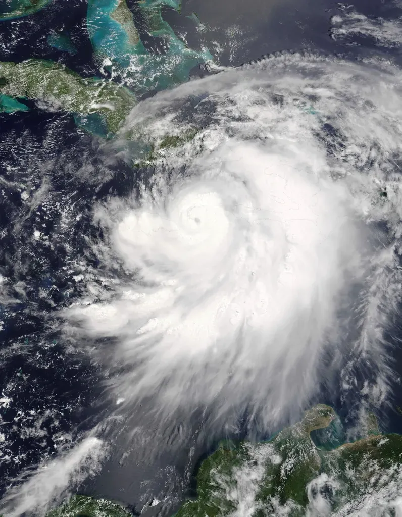
Moisture has to come from somewhere, and the Gulf of Mexico has become an increasingly generous supplier. Warmer sea surface temperatures translate directly into more humid air streaming north into the Southeast, exactly the ingredient that fuels severe thunderstorms in that region.
Water temperature in the Gulf has also increased on average by one or two degrees, creating the moist, humid air needed for tornadoes. Combine that warmer moisture supply with the drier plains to the west, and the atmospheric setup increasingly favors states like Arkansas, Mississippi, and Alabama over the traditional heartland further west.
Winter Tornadoes Are No Longer Rare
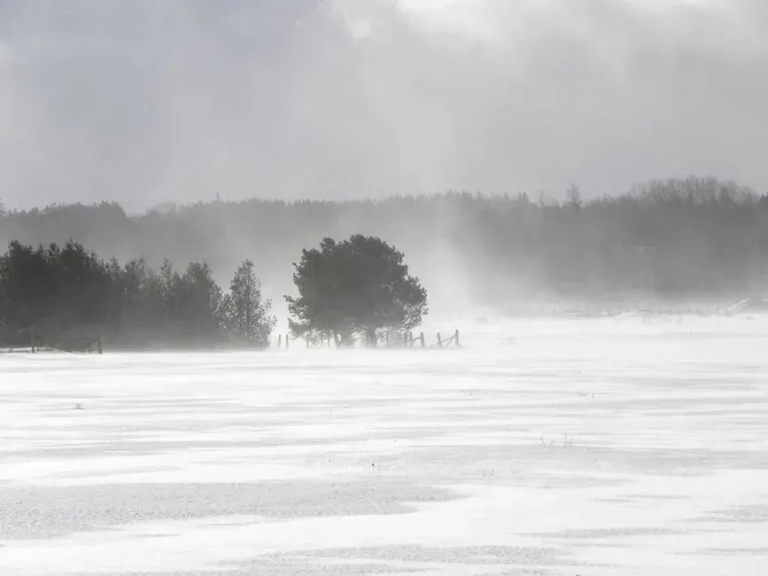
Perhaps the most striking part of this shift is not just geography but timing. Tornadoes are becoming a bit less likely in the classic Tornado Alley region and more common across the South and mid-South, especially during the cooler months. That is a meaningful change from the spring-dominated tornado season most Americans grew up expecting.
The numbers from recent years back this up dramatically. Milder winters mean the unstable air masses that can create supercells may become more likely earlier in the season in the southeastern U.S., and March 2025 broke records with 299 reported tornadoes, far exceeding the average of 80 for that month over the past three decades. A season that once wound down by early summer now stretches deeper into the calendar than forecasters are fully used to.
Radar Technology Changed What We Can Even See
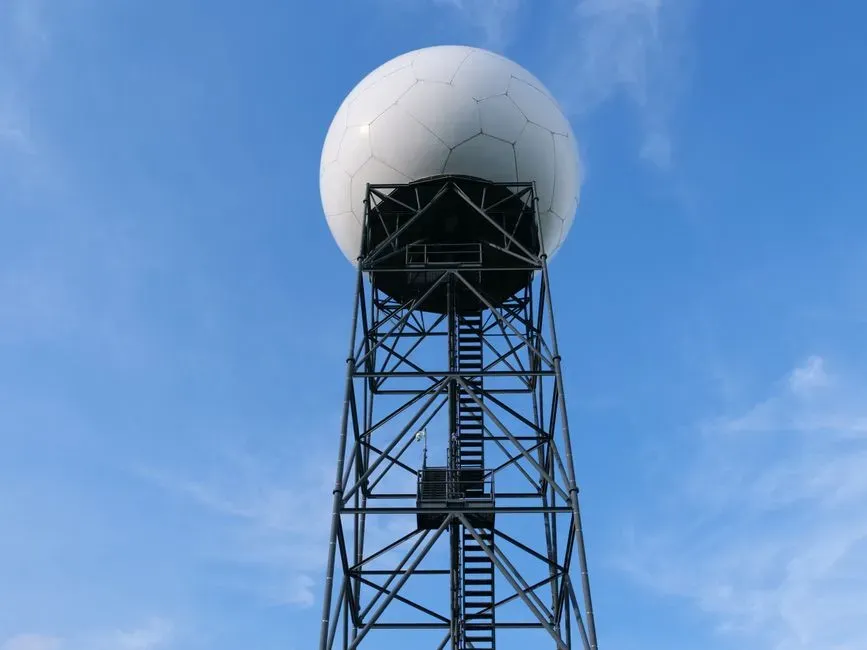
Not every factor behind the shifting map is atmospheric. Detection technology has improved so dramatically since the 1990s that comparing old and new tornado counts is not always a clean apples to apples exercise. Modern Doppler radar, with the WSR-88D network completed in 1997, allows better detection of weaker tornadoes that would have gone unrecorded decades earlier.
This matters because reporting bias can inflate apparent trends in areas with denser radar coverage and more storm spotters. Modern logging of tornado reports began in the 1950s, and the reports grew even more in the mid-1990s, mainly due to the increase in detection of weak EF0 to EF1 category tornadoes after the installation of the NEXRAD Doppler radar system, along with better documentation, more media coverage, rise in population, and storm chasing. None of that erases the underlying climate signal, but it does mean some of the eastward numbers reflect better bookkeeping, not just a moving storm track.
Population Growth Is Reshaping the Risk Map
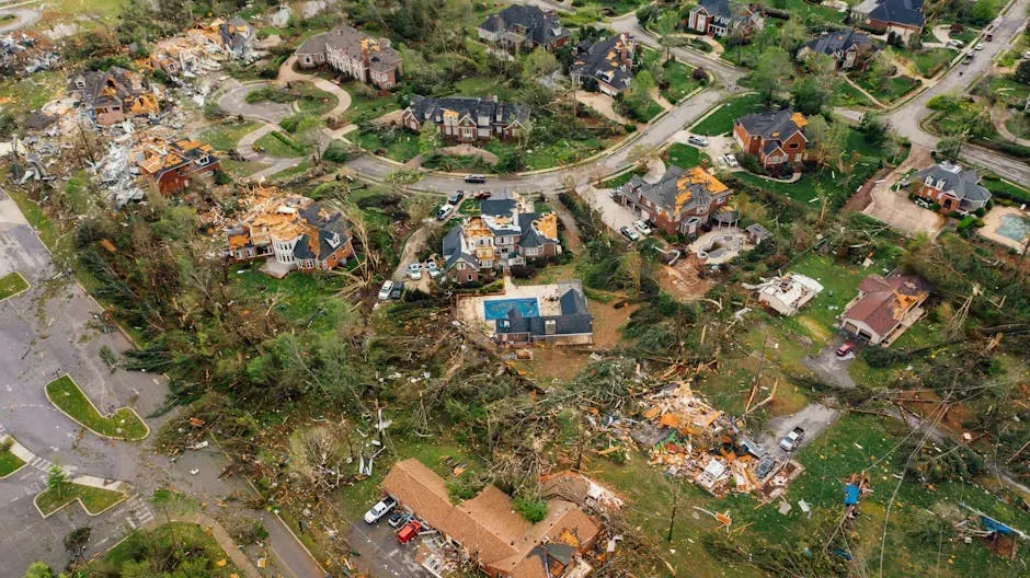
Where people build and how many of them live in a given county turns out to matter almost as much as where storms form. Researchers studying long term tornado records have found that population density itself helps explain regional trends, independent of the weather. Anthropogenic factors including increases in population density and better detection systems since the mid-1990s help explain the long-term trend in Dixie Alley.
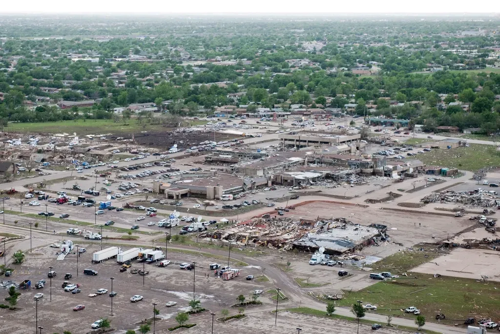
Housing patterns compound the exposure problem in a very concrete way. There is a greater risk to human life when tornado alley shifts eastward, largely due to higher population density and a larger number of residents living in manufactured homes, along with limited road networks and decreased visibility caused by trees and hilly terrain. A tornado hitting rural Kansas farmland and one hitting a dense Alabama suburb are simply not comparable events in terms of human cost, even at equal wind speeds.
Why This Shift Is Turning Out Deadlier
Geography alone would be worrying enough, but the timing of these storms adds another layer of danger. This eastward shift is likely making tornadoes deadlier, since tornadoes in the Southeastern U.S. are more likely to strike overnight, when people are asleep and cannot quickly protect themselves. A siren at 2 a.m. simply reaches fewer people than one at 4 p.m.
Historical death tolls from cold season storms in this region are already sobering. More than 900 people were killed by tornadoes between November and February in the 1953 to 2015 period, with forested terrain, an increasing elderly population, and a high prevalence of mobile homes making the Southeast especially vulnerable. Recent seasons have added fresh, painful examples to that record, including a deadly multi-state outbreak in March 2025 that produced a three-day outbreak of 117 twisters that hit multiple states.
The Numbers Piling Up Across New States
States far outside the historical Tornado Alley footprint are now posting counts that would have seemed implausible a generation ago. Ohio, located hundreds of miles from traditional Tornado Alley, recorded 71 tornadoes in 2024. Missouri has shown a similar climb, with its state climatologist tracking 93 tornadoes in 2024, 104 in 2025, and 81 more so far this year as of a recent count, well above the state’s historical average.
Arkansas has felt the shift just as sharply through severe weather alerts rather than just confirmed touchdowns. In the 30 days after several damaging twisters hit Arkansas on March 14, the state saw nearly four times as many tornado warnings as Texas did. None of the traditional Tornado Alley states have stopped seeing tornadoes, but the newer hotspots are now generating numbers that rival or exceed them most years.
What This Means Going Forward
It is worth being honest about the limits of what scientists currently know. The apparent shift from the Plains to the South has perplexed researchers, who aren’t sure if the change is permanent and if climate change is playing a role. Some analysts also caution against overstating the magnitude of the change itself. This trend is not very significant in the sense that tornadoes have not ceased to exist in the Plains, since the shift has been very subtle, and tornadoes have always hit the Plains and will continue to occur there, just as they have always happened in the southeast and will continue there too.
What does look consistent across multiple independent studies is the direction of travel, even if the pace and permanence remain open questions. While the total number of tornadoes in the United States has not increased, the frequency of large tornado outbreaks, days with more than 16 tornadoes, is on the rise, according to the National Oceanic and Atmospheric Administration. For residents of Memphis, Little Rock, or Louisville, that distinction between a shifting average and a shifting reality probably matters less than simply knowing their region now belongs firmly inside the conversation that used to be reserved for Oklahoma and Kansas.
