

The usual suspect: why the Southwest gets blamed first
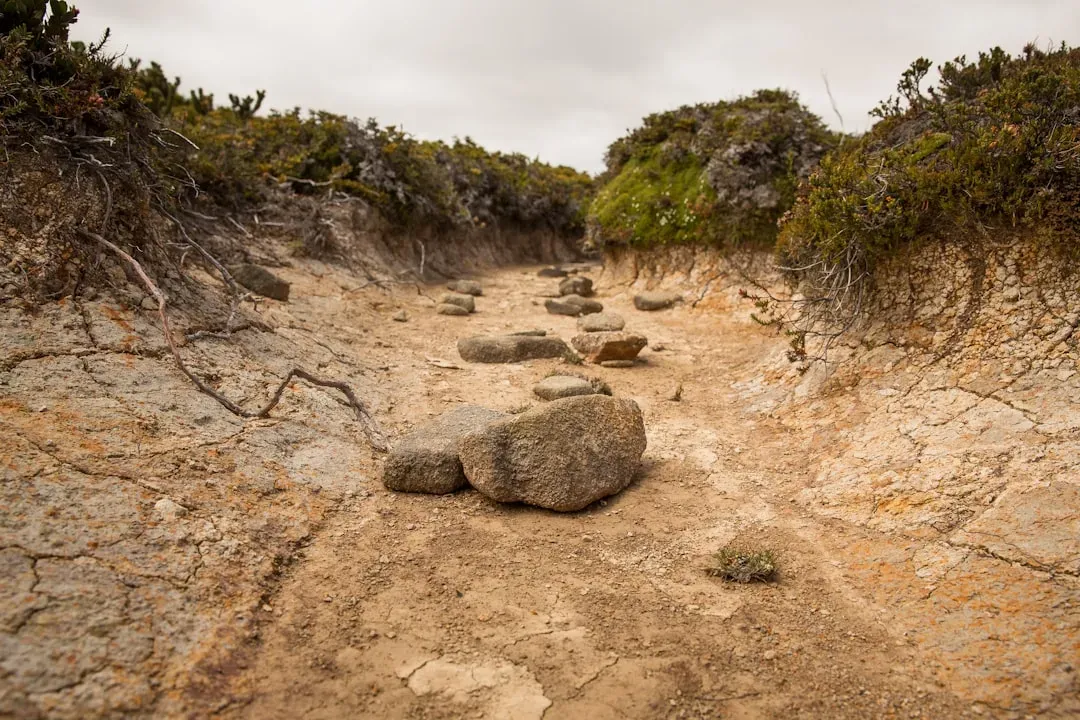
For good reason, the American Southwest has dominated drought coverage for decades. The region has been locked in dry conditions since the late 1980s, and one widely cited 2022 analysis found the stretch to be the most extreme in over 1,400 years, with reservoirs and soil moisture unlikely to fully recover by the middle of this century, according to a summary of that research. It is the kind of slow, grinding dryness that shows up in reservoir photographs and makes for easy headlines.
Scientists have offered competing explanations for why the Southwest stays locked in this pattern. Recurring La Niña like sea surface temperature patterns in the tropical Pacific, which alter how moisture reaches the region, have long been floated as a cause. More recent work has pointed instead to anthropogenic aerosols reshaping North Pacific circulation in ways that dampen regional precipitation for years at a time. Either way, the Southwest has understandably become shorthand for drought in the public imagination.
What a global moisture tracing study actually found
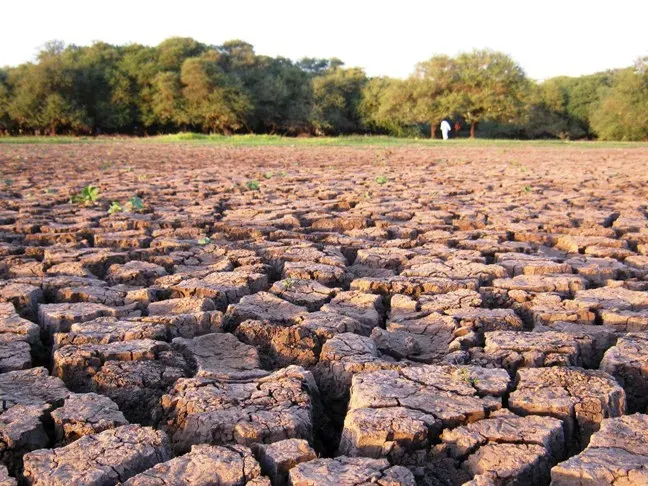
The picture changes once you stop looking at rainfall totals and start tracking where the moisture was supposed to come from in the first place. A 2023 study in Nature Water took this approach, calculating the odds of drought whenever a region received less humidity than usual from either oceanic or continental sources. Across most land areas, that conditional probability of drought following an equivalent moisture shortfall came in above ten percent.
In places where the main atmospheric transport routes are especially active, that number climbed higher. The study identified specific hotspot regions where the link between reduced incoming moisture and drought became almost automatic, with probabilities exceeding twenty percent. Central east North America was named directly alongside southeast South America and eastern Europe as one of these hotspots, a detail that quietly upends the Southwest centered narrative.
Central east North America: the real hotspot on the map
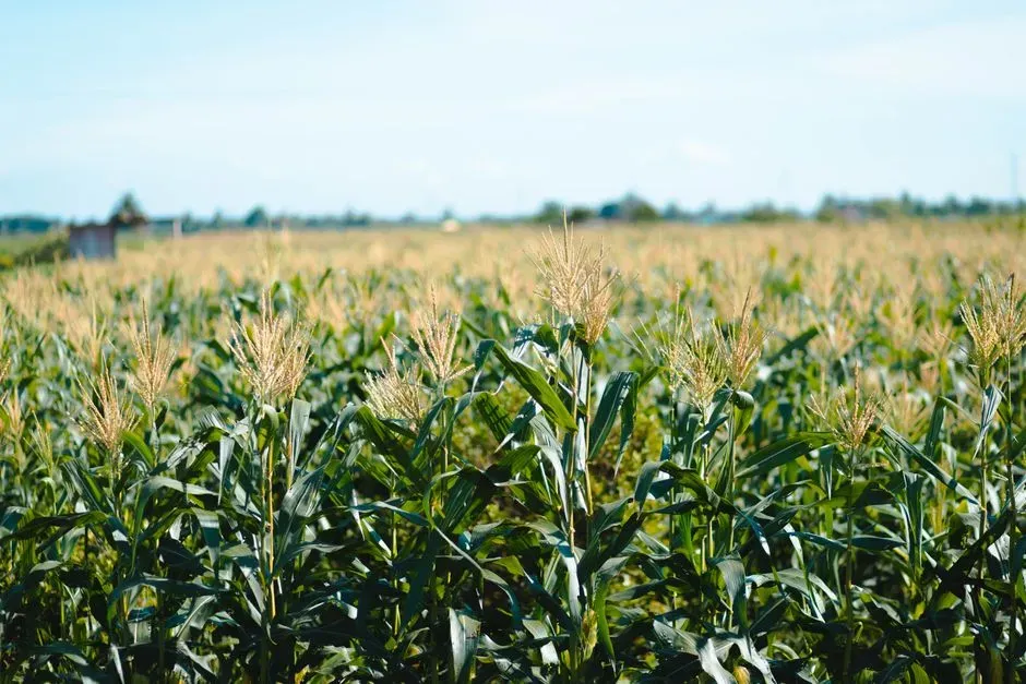
Central east North America is not desert country. It is the Corn Belt, the Ohio Valley, and the broader Mississippi basin, land that depends on a steady, almost daily resupply of atmospheric moisture rather than surviving on whatever moisture is already stored locally. A separate 2025 analysis of soil moisture drought across the Corn Belt identified the Ohio River Valley specifically as a central hub for this kind of drought, showing unusually high measures of network centrality in how dry conditions there connect to surrounding regions.
That distinction matters enormously. A region built around imported moisture has very little buffer when the import pipeline slows down, unlike an arid region that has already adapted, however painfully, to chronic scarcity. In other words, the places most vulnerable to a sudden, severe drought are often the wettest looking places on the map, right up until the supply line gets interrupted.
The Gulf of Mexico pipeline that keeps the Corn Belt alive
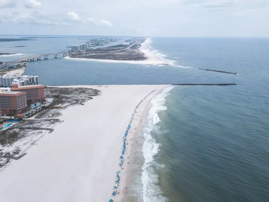
The supply line in question runs almost straight north from the Gulf of Mexico. Warm, humid air masses drawn up from the Gulf are what allow the Midwest to grow crops that would otherwise struggle in a continental climate, and that inflow is large enough that atmospheric scientists can watch it on radar and satellite in near real time. When southerly and westerly winds keep that connection open, humidity levels across the Corn Belt can rival those of far more tropical locations.
Illinois State Climatologist Trent Ford’s research found that local plant transpiration, sometimes called corn sweat, does add a small amount of humidity on the hottest days. Even so, that contribution is an order of magnitude smaller than the moisture arriving from the Gulf itself. The real driver of Corn Belt humidity, and by extension its drought risk, is whether that oceanic pipeline stays open or gets cut off.
2012: the flash drought that revealed the mechanism
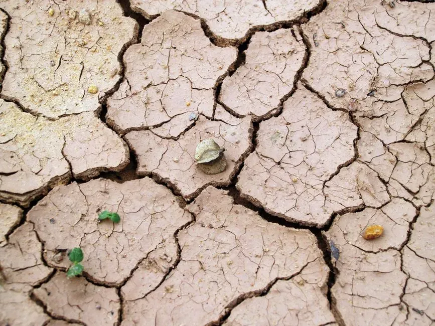
The clearest demonstration of what happens when the pipeline closes came in the summer of 2012, when the Midwest experienced what researchers later described as the most intense and widespread drought on record for the region in the previous hundred years. The event developed with startling speed, emerging in May and peaking by mid July, and it eventually left roughly three quarters of the crop region under moderate to severe dry conditions. It became the textbook case for what meteorologists now call a flash drought.
A retrospective comparison published in the Bulletin of the American Meteorological Society traced the cause directly back to atmospheric mechanics rather than a slow buildup of dryness. Researchers identified large scale subsidence combined with a reduction in Gulf of Mexico moisture transport as the specific atmospheric conditions that developed suddenly over the central United States that year. The drought, in other words, did not creep in from the west. It formed in place once the moisture supply from the south simply stopped arriving.
When the pipeline recycles itself instead
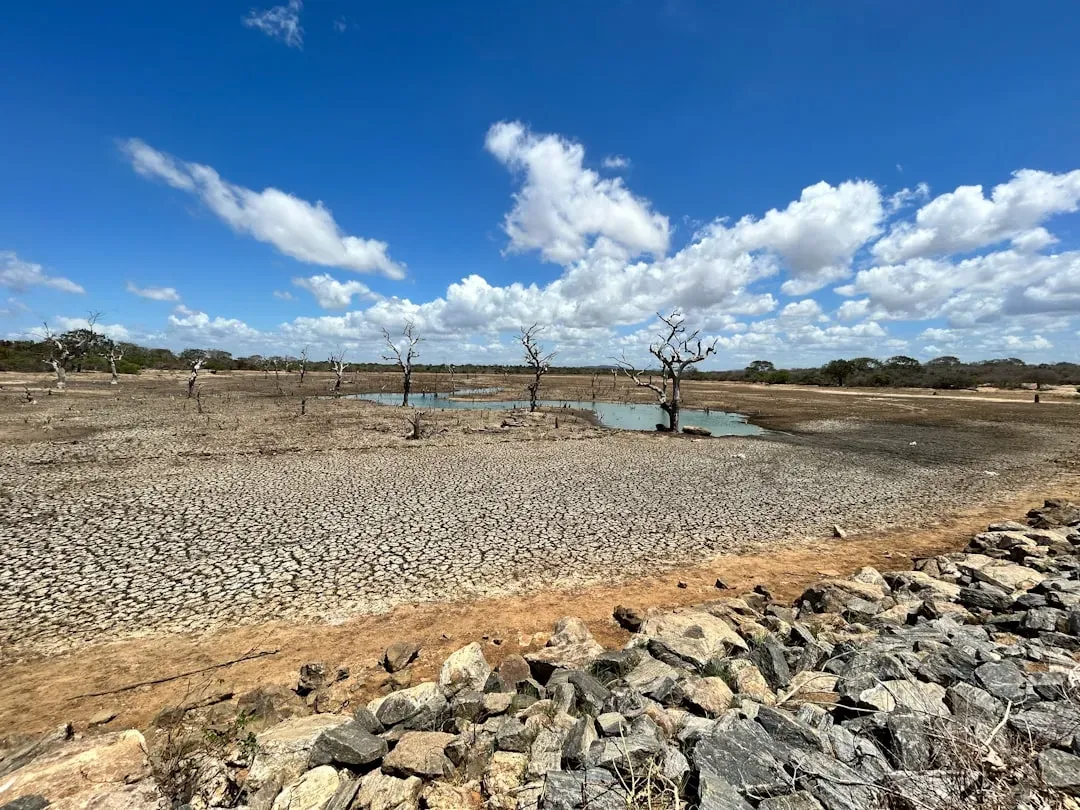
There is a telling fingerprint left behind whenever the Gulf connection weakens, and researchers at the National Center for Atmospheric Research found it hiding in the numbers. Using simulations comparing 2010, 2011, and 2012, the team discovered that the fraction of locally recycled precipitation, meaning rain that comes from moisture the land itself had already evaporated rather than fresh moisture arriving from elsewhere, was highest in 2012. That was precisely the year when less moisture arrived from other regions such as the Gulf of Mexico.
That finding gives forecasters a genuinely useful early signal. A rising share of recycled, locally sourced precipitation is not a sign of resilience. It is a sign that the external supply has already started to dry up, and that the region is running on fumes even before the drought monitor catches up. The lead researcher on that study noted that distinguishing these processes could eventually help inform agricultural management decisions well before a drought becomes visible on the ground.
The West tells a different, newer story
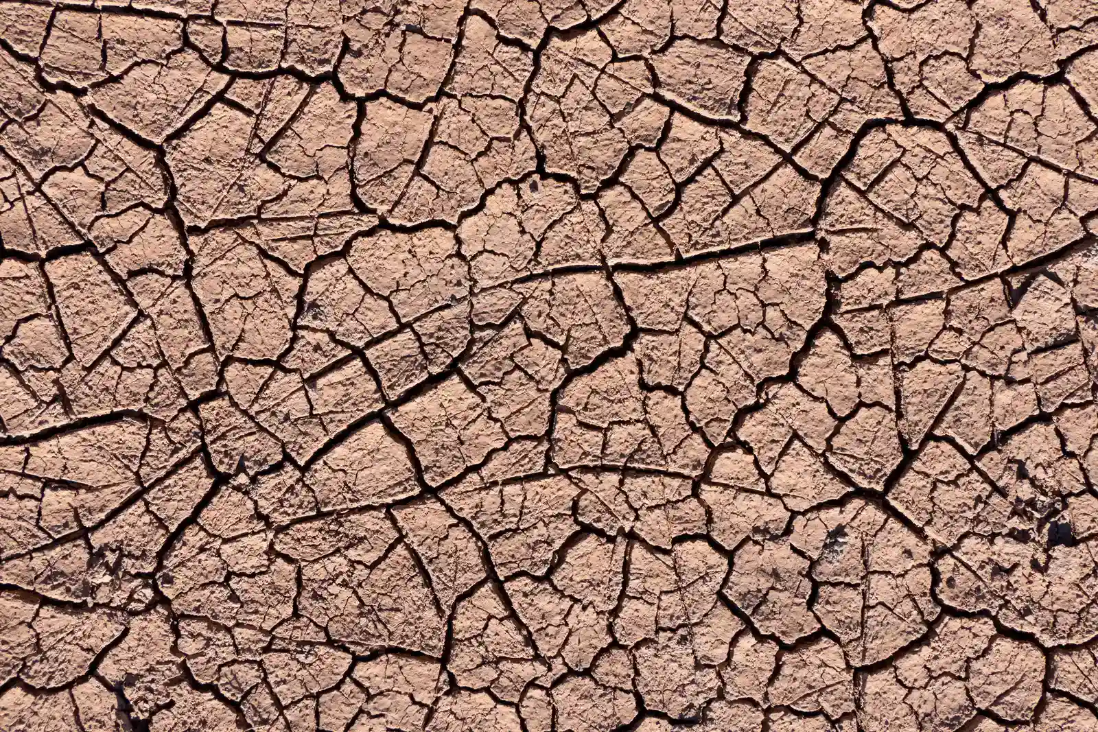
None of this means the Southwest’s reputation is undeserved, only incomplete. A November 2024 study published in Science Advances, led by UCLA atmospheric scientist Rong Fu and involving NOAA’s National Integrated Drought Information System, found that evaporative demand, essentially the thirst of the atmosphere itself, has outweighed reduced rainfall as a driver of western drought since the year 2000. During the severe 2020 to 2022 drought, evaporation accounted for a little over three fifths of the drought’s overall severity, while reduced precipitation made up the remaining share.
That represents a real shift from how drought used to work in the region. NOAA’s Veva Deheza, a co-author on the study, described it as a new paradigm in which rising temperatures drive intense droughts with precipitation acting as a secondary factor rather than the primary cause. A warmer atmosphere can simply hold and demand more water vapor before it becomes saturated, which pulls moisture out of soil, plants, and reservoirs even when rainfall stays close to normal.
Why the same numbers mean different things east and west
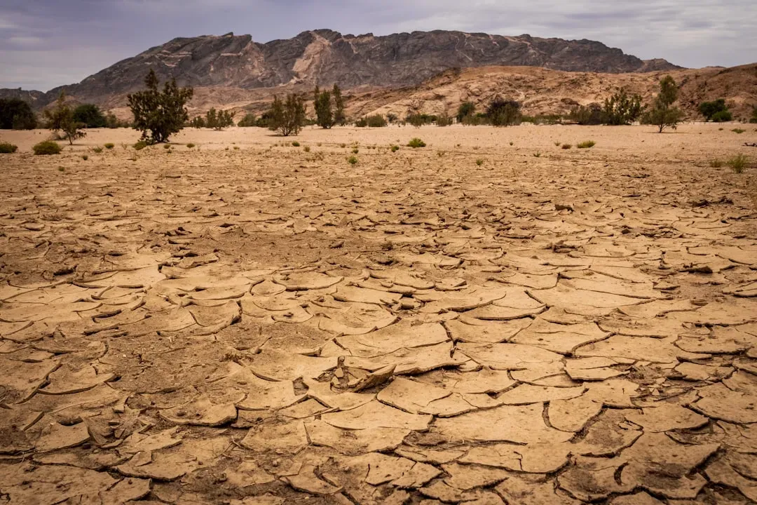
A 2024 study in AGU Advances examined how the U.S. Drought Monitor’s own thresholds behave differently depending on geography, and the results reinforce just how differently East and West experience the same drought categories. Precipitation, runoff, and soil moisture in the eastern half of the country require much larger deviations from normal than the West does before conditions get classified as exceptional drought. The most extreme negative anomalies in that analysis showed up specifically along the eastern side of the Great Plains, right at the edge of that central east hotspot.
The likely explanation is that western drought risk is shaped as much by exposure, meaning how sensitive local water systems already are to small changes, as by the raw physical hazard itself. Eastern regions, by contrast, need a genuinely dramatic moisture failure before the system tips over, which is exactly why a Gulf moisture shutdown hits so hard once it happens. The threshold is higher, but the fall is steeper.
Catching the turn before it becomes a crisis
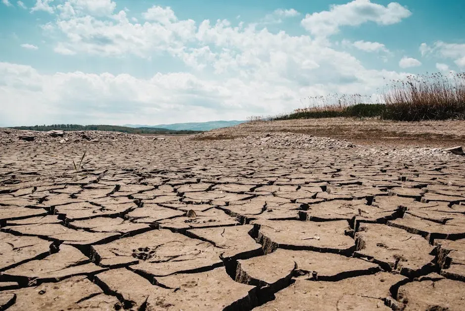
Recognizing where these droughts actually originate has already changed how forecasters try to get ahead of them. In May 2024, the Climate Prediction Center made its Rapid Onset Drought hazard outlook fully operational, a product specifically designed to flag areas where flash drought could develop within two to four weeks. Forecasters build the outlook using antecedent soil moisture conditions alongside temperature and precipitation forecasts, rather than waiting for a drought to already be visible.
Over the summer of 2024, that system issued several rapid onset warnings for flash droughts that went on to emerge across the Midwest, Southern Plains, and Southeast, giving farmers a genuine early warning window for decisions about planting and supplemental irrigation. It is a direct, practical application of the same insight that moisture tracing research had already pointed to: the trouble often starts not with a visible lack of rain, but with a quiet interruption in the pipeline supplying that rain in the first place.
The picture in mid 2026
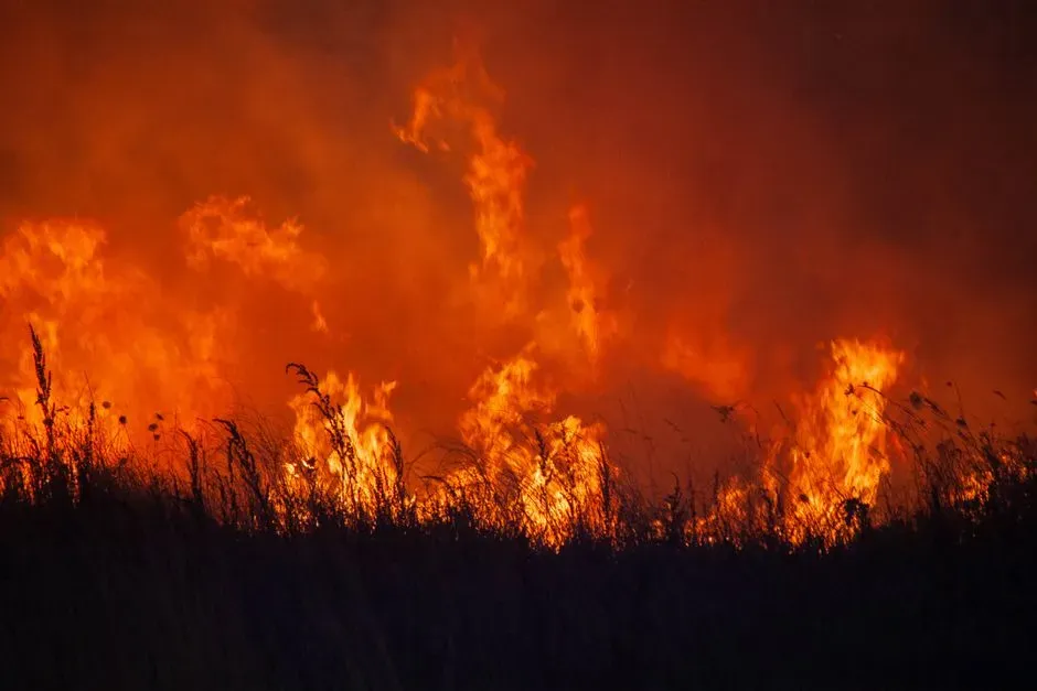
That vulnerability has not gone away. As of June 30, 2026, roughly two fifths of the United States and Puerto Rico, and close to half of the Lower 48 states, were classified as being in drought, according to Drought.gov’s current conditions tracking. Widespread precipitation had recently improved conditions across the northern Rockies, Plains, Midwest, South, and East, but heat and dryness in the Four Corners states were pushing drought and wildfire risk higher there.
Meanwhile, forecasters have again flagged the classic warning sign in the Corn Belt itself. Meteorologist Eric Snodgrass warned of a persistent dry pattern settling over the middle of the country, with the western Corn Belt expected to see the driest conditions as an unusually strong upper level ridge anchored itself over the Upper Midwest. It is the same setup that preceded 2012, a reminder that the region’s dependence on a steady Gulf moisture supply has not changed even as the tools for spotting the warning signs have gotten considerably better.

- The Shoreline Sucked Dry in Seconds – 5 Tsunami Signals Beachgoers Mistake for Low Tide - November 14, 2026
- 9 Dark-Sky Destinations Around the World Where the Stars Look Unreal - November 14, 2026
- The Fault Line That Never Slips – 7 Locked Seismic Zones Overdue for a Massive Release - November 14, 2026
