

- The Planet Where It Rains Liquid Glass – 7 Alien Worlds Defying Known Physics - November 14, 2026
- Stars Consuming Entire Worlds – 6 Planetary Systems Swallowing Their Own Worlds - November 14, 2026
- The Ground Liquefies Like Water – 6 Silent Fault Lines Geologists Watch Closely - November 14, 2026
The ground under a city looks solid until it isn’t. In places where the bedrock is limestone, rainwater slowly does what it has always done, which is eat away at stone from the inside.
Geologists call the result karst. It’s a terrain of caves, hidden streams and sinkholes, and it shapes how people build, drink and insure their homes. These six regions show how it plays out.
West Central Florida
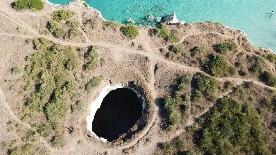
Florida sits on shallow limestone, and the west central part of the state is especially exposed. Its limestone is riddled with dissolution channels, and more than 27,000 sinkholes have been reported there since the 1950s, in counties such as Pasco and Hernando. That’s a remarkable tally for one slice of a single state.
Many of these are cover collapse sinkholes. They form when the roof of a cavern, often clay rich sediment over dissolved limestone, loses its integrity. Groundwater withdrawal can upset the balance in karst systems, which is one reason water management and sinkhole risk are tied together here.
Central Kentucky
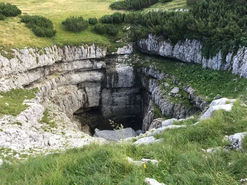
Kentucky is famous for caves, and the same geology reaches under neighborhoods. A March 2026 post from a home inspection firm in Elizabethtown put it plainly: the region sits on limestone, and limestone dissolves. It’s a commercial source rather than a scientific one, but the point matches standard karst geology.
The practical risk is that soil can lose support without much warning. The inspectors flag warning signs such as depressions near the foundation, cracking inconsistent with normal settlement, and surface water draining toward low points. In karst country, where the water goes matters as much as the building itself.
Nashville and Middle Tennessee
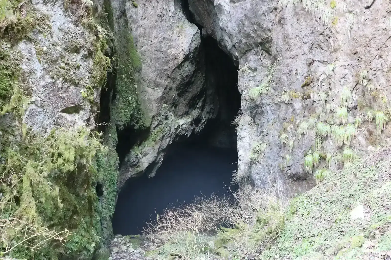
Nashville has become a live test case. A study prepared for the Southern Environmental Law Center by hydrogeologist Chris Groves of Western Kentucky University examined the city’s planned tunnel project. Construction of the 10 mile tunnels began late last year with a goal of opening in 2027, and the study raises concerns about sinkholes, flooding and the spread of existing contamination through groundwater.
The underlying issue is the rock. The city sits on limestone that is riddled with caves and voids created as groundwater dissolves the bedrock. The tunneling company has acknowledged the karst conditions, but has said its machines would try to avoid areas where those features exist. Whether that’s workable is the open question, and the study’s findings are an assessment rather than a settled outcome.
Northern Puerto Rico
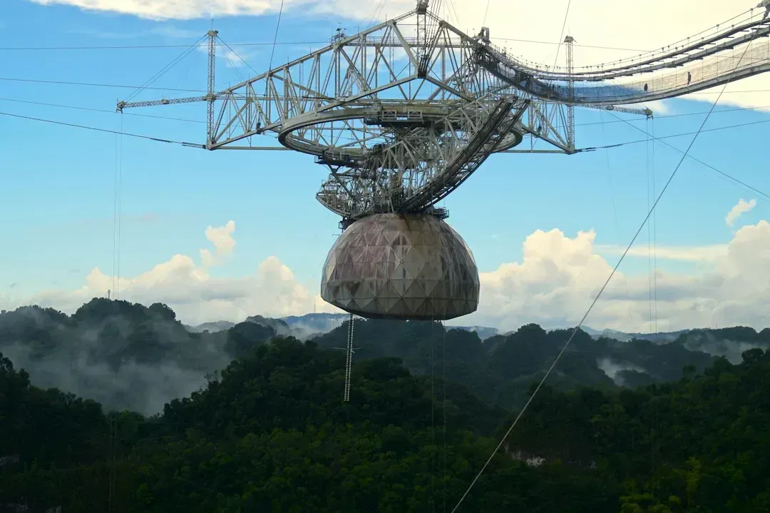
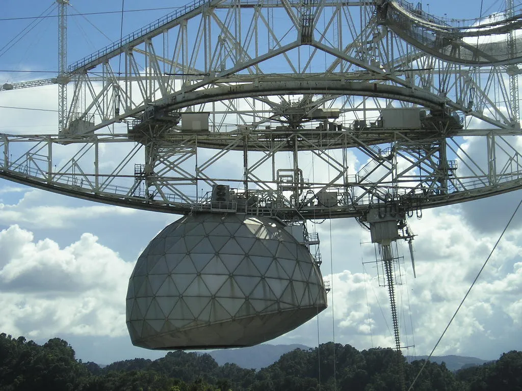
Along Puerto Rico’s north coast, karst defines the whole landscape. The region is known for its cone shaped limestone hills called mogotes, the Río Camuy cave system, and hundreds or thousands of caves. The Arecibo Observatory’s large reflecting antenna was even set into a modified sinkhole.
This isn’t only scenery. Two main aquifers associated with the belt provide water for industry, agriculture, municipalities and homes. A paper prepared for the 2026 Sinkhole Conference examines how water recharges the confined aquifer, which is part of understanding how fragile that supply might be.
Southern China
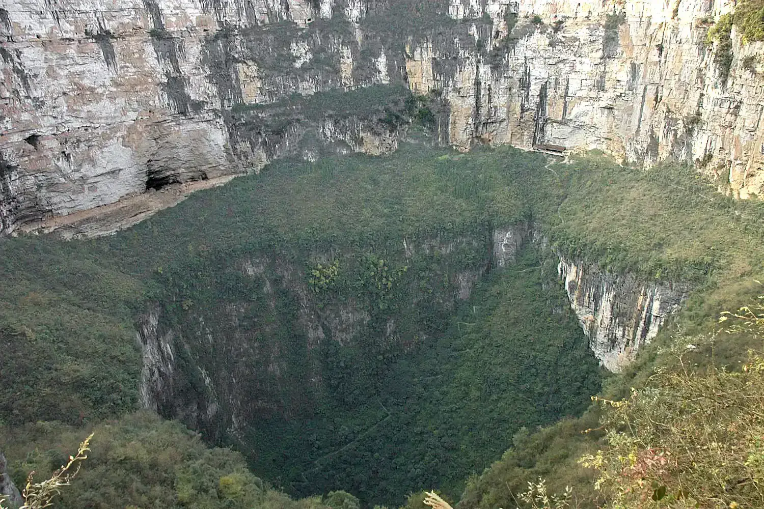
China holds some of the most dramatic karst on the planet. One geography guide describes the stone forests of Yunnan, the tower karst of Guilin, and giant sinkholes called tiankeng in Chongqing, some over 500 meters deep. These are slow landforms, built over very long spans of time.
The scale is global too. According to the same source, karst covers roughly 15 percent of Earth’s ice free land, and its aquifers supply drinking water to about 700 million people. China’s Xiaozhai Tiankeng is described as the world’s deepest sinkhole at 662 meters. Figures like these come from a general reference site, so treat them as broad estimates.
The Grand Canyon Region of Arizona
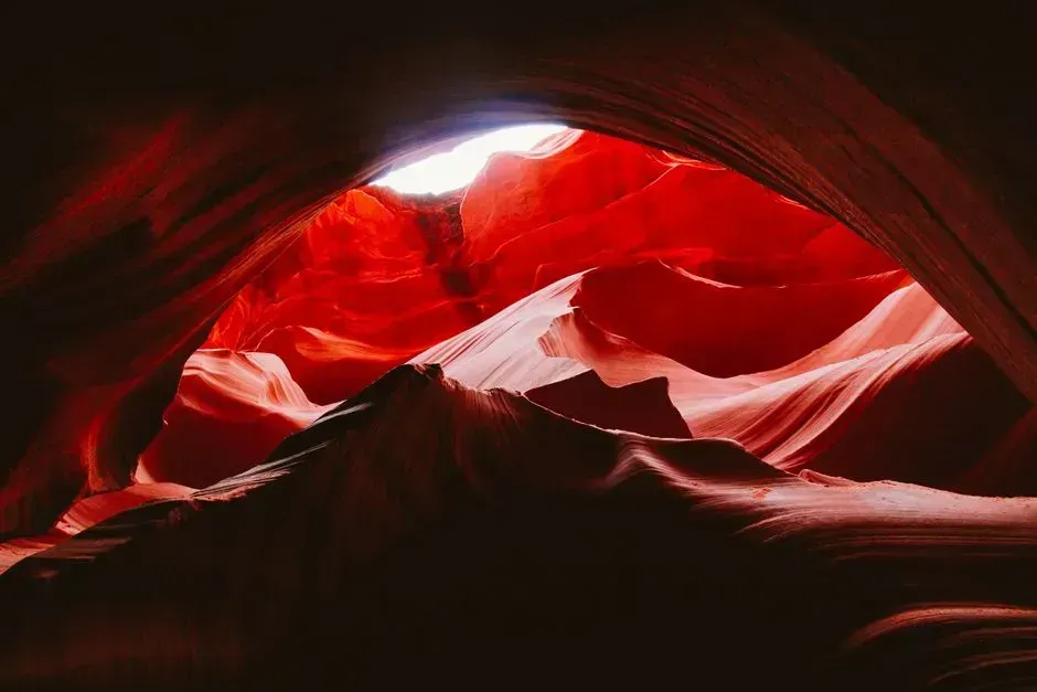
Karst isn’t only a lowland story. Researchers at Northern Arizona University mapped caves behind the spring that supplies drinking water at the Grand Canyon. The caves lie in the Redwall and Muav limestones, some 2,300 feet beneath the plateau surface.
Water moves through that rock quickly. Dye dropped into surface sinkholes reached springs about 12 miles away in as little as a week. That speed is why runoff from burned areas or E. coli entering sinkholes linked to Roaring Springs Cave could force the park to halt its pumps. The researchers plan to use airborne lidar and decades of satellite data to map sinkholes on both sides of the canyon.
Where the Ground Stands
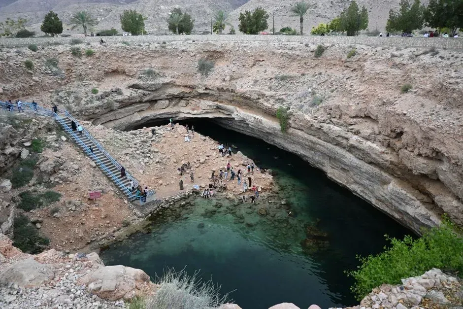
Across all six regions, the mechanism is the same. Slightly acidic water dissolves limestone, and when a hidden cavity grows too large, the ground above collapses and forms a sinkhole.
What differs is exposure. Florida and Kentucky have homes on top of it, Nashville has construction going through it, and the Grand Canyon and Puerto Rico depend on the water inside it. Mapping, groundwater control and careful drainage are the main tools for living with it.
