

Few jobs get blamed as quickly as the weather forecaster’s. A picnic gets rained out, and the person on the six o’clock news takes the heat. Yet much of what viewers assume about forecasts comes from a few common misunderstandings, and most of them are easy to fix.
Broadcast meteorologists hear the same complaints again and again, and the misreadings are surprisingly consistent. Here are nine of the most common, along with what the science actually says.
A Seventy Percent Chance of Rain Doesn’t Mean It Will Rain for Seventy Percent of the Day
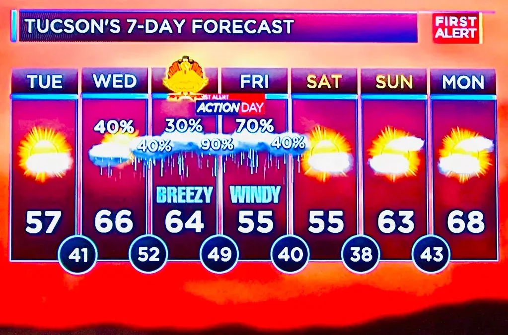
The National Weather Service defines probability of precipitation as a combination of two things: how confident the forecaster is that rain will develop, and how much of the forecast area will get it. It isn’t a measure of duration. A high number can mean a short, widespread downpour, and a low number can still cover a brief storm.
Many viewers read it as an hourly schedule instead. In reality, a forty percent chance generally means that at a given spot, measurable rain falls on about four out of ten similar days. So leaving the umbrella at home isn’t a safe bet, but it isn’t a blown forecast when you stay dry either.
A Forecast Isn’t “Wrong” Just Because It Missed Your Backyard
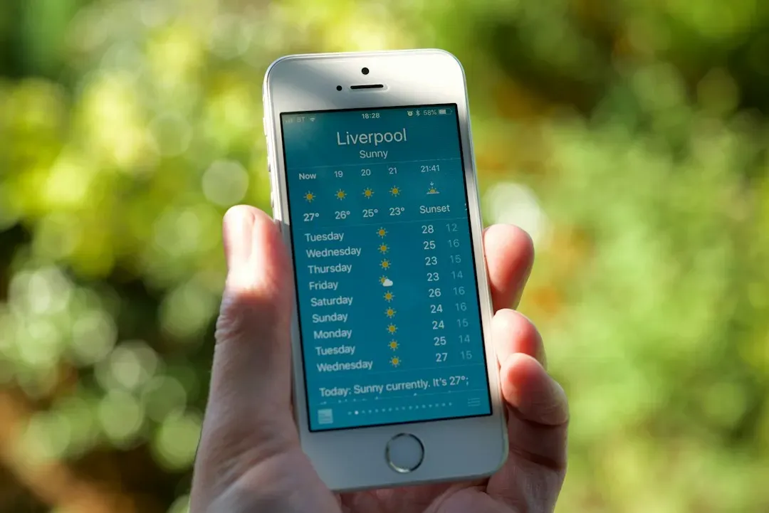
Forecasts are usually built for a region or a point, and weather varies a lot over short distances. Summer thunderstorms are the classic case, since a single cell can soak one neighborhood while the next town over stays completely dry. A forecaster who said scattered storms did their job even if your street saw none.
Viewers tend to judge accuracy by their own experience, which is a sample size of one. Meteorologists evaluate performance across many locations and many days. That difference in scale explains a lot of the frustration.
Forecasts Have Gotten Much Better, Even If It Doesn’t Feel That Way
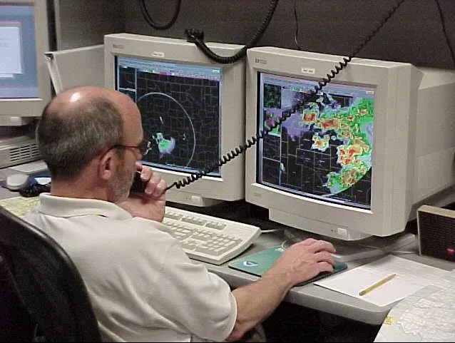
Forecast skill has improved steadily for decades. A widely cited 2015 paper in Nature described a “quiet revolution” in numerical weather prediction, noting that a modern five day forecast is about as reliable as a three day forecast was roughly a generation earlier. Track forecasts for hurricanes have improved in a similar way over the years.
Newer tools are pushing this further. In recent years, AI based models such as Google DeepMind’s GraphCast and the European Centre’s AI forecasting system have shown strong results in testing against traditional models. Still, human forecasters remain part of the process, interpreting the output for local conditions.
The Ten Day Forecast Is a Trend, Not a Promise
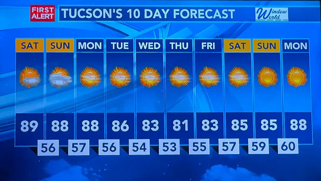
Accuracy falls off as you look further ahead. Beyond about a week, specific details like exact timing of a storm or a precise high temperature become much less dependable. That’s because tiny errors in the starting data grow as the model runs forward, a property of the atmosphere often linked to chaos theory.
Ten day forecasts are still useful for spotting a general pattern, such as a cooldown or an unsettled stretch. Meteorologists generally suggest treating days seven through ten as a rough outlook. The icon on your phone for day nine is a guess with a sun drawn on it.
Weather and Climate Are Not the Same Thing
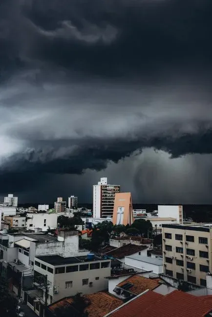
Weather describes conditions over hours or days, while climate describes long term patterns across decades. NASA and NOAA both draw this line clearly in their educational material. A cold snap in January doesn’t cancel out a warming trend, just as one hot week doesn’t prove it.
Many TV meteorologists say they get pulled into this debate constantly, often through viewer emails after a strange weather week. They point out that predicting next Tuesday’s rain and projecting average temperatures for 2050 use different tools and answer different questions. Being good at one doesn’t make the other unreliable.
A Watch and a Warning Are Two Very Different Things
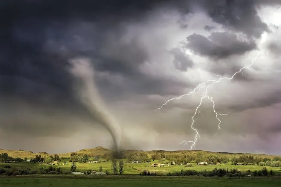
According to the National Weather Service, a watch means conditions are favorable for a hazard to develop, while a warning means it’s happening or about to happen. For tornadoes, a watch says to be prepared, and a warning says to take shelter now. Mixing them up can lead people to either panic too early or ignore an urgent alert.
Surveys of the public over the years have shown lots of people can’t reliably tell the two apart. The NWS has also been simplifying its alert language and messaging in recent years to reduce that confusion. Knowing the difference takes about ten seconds to learn and can matter a great deal.
The Cone in a Hurricane Forecast Doesn’t Show How Big the Storm Is
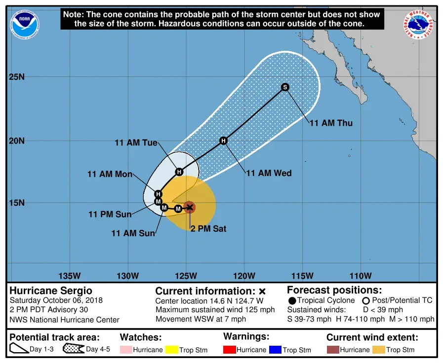
The National Hurricane Center’s cone represents the probable track of the storm’s center, not the area that will feel its effects. Historically, the center of the storm stays inside the cone about two thirds of the time. Wind, rain, and storm surge can extend far outside it.
This is a big deal because flooding from rainfall and surge has caused the majority of deaths in tropical cyclones in the United States. The NHC has added products showing inland flood risk and storm surge separately for that reason. Those maps often say more about your personal risk than the cone does.
“Feels Like” Temperatures Are Estimates, Not Measurements
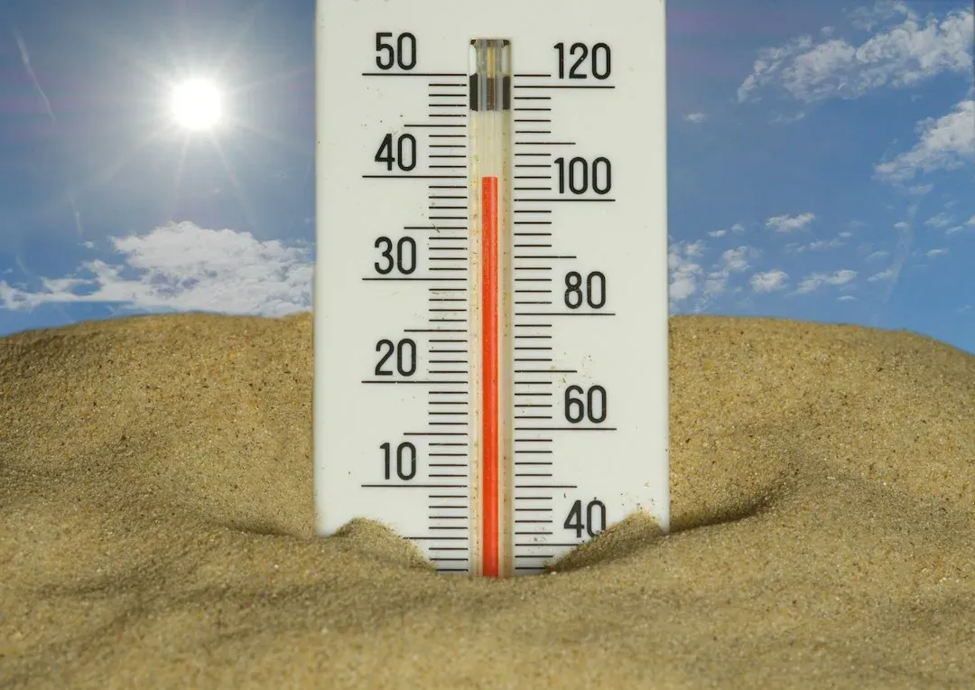
Wind chill and heat index are calculated values, not what a thermometer reads. The heat index combines air temperature and humidity to estimate how hot the body feels in shade, and the NWS notes that direct sunshine can raise it further. Wind chill estimates how fast exposed skin loses heat on a cold, windy day.
Both are useful for safety decisions, especially during heat waves, since heat is a leading cause of weather related deaths in the United States. However, they’re built around standard assumptions about a person’s body and surroundings. Your actual experience may differ depending on clothing, activity, and sun exposure.
Meteorologists Don’t Control the Weather or Pick the Forecast Based on Guesswork
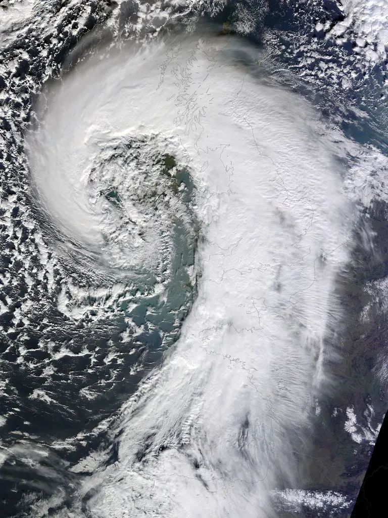
Forecasts come from observations by satellites, radar, weather balloons, and surface stations, fed into computer models that run on supercomputers. The forecaster’s job is to compare models, spot where they disagree, and explain what’s most likely. It’s analysis, not a coin flip.
Local TV meteorologists also add knowledge of terrain, lake effects, or sea breezes that models sometimes handle poorly. Many hold certifications through the American Meteorological Society, and some hold degrees in atmospheric science. And no, they can’t change the outcome of a rainy weekend, however much viewers might wish otherwise.

