
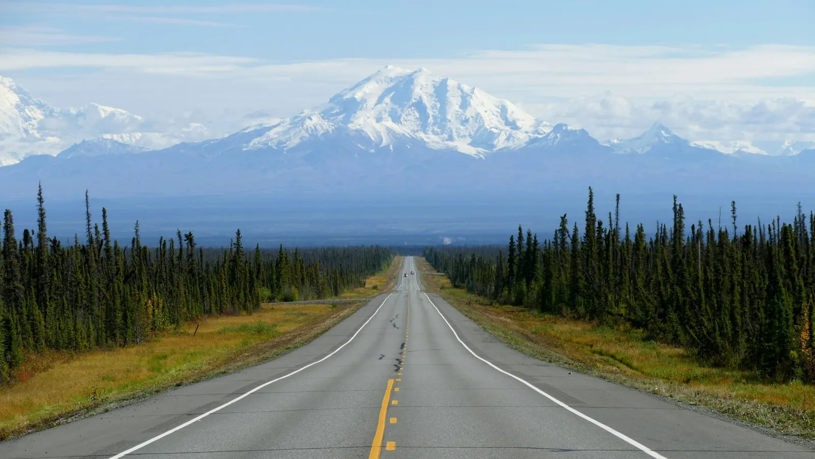
Most of Alaska sits on ground that was built to stay frozen. Permafrost underlies roughly 85% of the state’s land area, and for generations it has worked like a hidden foundation for towns, highways and airstrips.
That foundation is changing. Researchers, engineers and residents are now tracking what happens when the ice inside the soil melts, and the findings from 2024 to 2026 show a problem that is already visible on the surface.
What permafrost actually is

Permafrost is not a single slab of ice. It’s ground that stays at or below freezing for at least two consecutive years, and it often holds large amounts of ice between soil particles.
On top sits an active layer that thaws each summer and refreezes in winter. In northern Alaska, that layer is typically only about 40 to 50 centimeters deep. When it grows deeper, ice below begins to melt, and the ground can settle unevenly.
How thaw turns into sinking ground
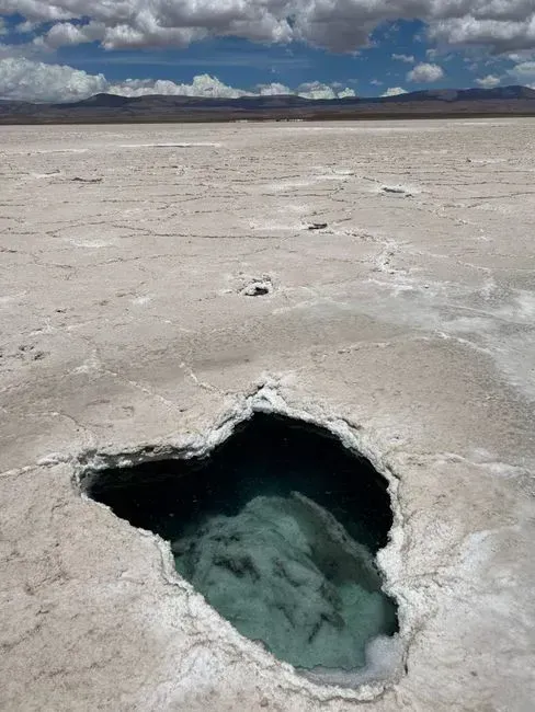
Ice-rich soil takes up more space frozen than the water does once it drains away. Thawing ice rich permafrost can destabilize infrastructure through uneven ground subsidence and coastal erosion. The sinking is often patchy, which is what makes it so hard on rigid structures.
A road may hold steady for a hundred meters and then dip sharply. Buildings sink unevenly, roads buckle and crack, runways warp, and pipelines shift. Engineers call this differential settlement, and it explains why repairs rarely last.
Warming that is measurable below the surface
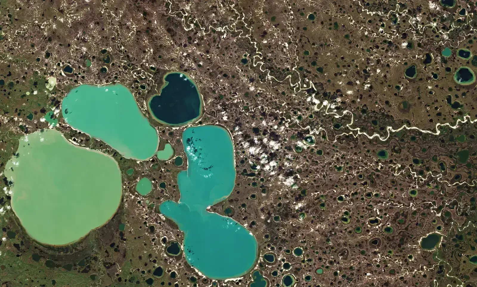
A study published in 2026 in Frontiers in Climate looked at soil temperatures across Alaska over nearly three decades. In the continuous permafrost region, soils warmed by about 0.6 degrees Celsius per decade on average.
Some months ran much hotter than that average. Within the dataset, certain months warmed by three to four degrees per decade. The researchers also noted limits, including few soil probes and uneven coverage across the state, so the picture is strong but not complete.
Roads that keep needing the same repairs
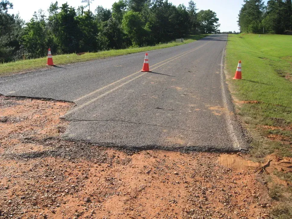
Roads are among the most exposed assets. In Fairbanks, a paved road has been deformed by differential thaw settlement, and the 2025 cost study found that road damage accounts for most of the projected bill. Road damage alone was estimated at about $35 billion.
That cost shows up in maintenance budgets today. Climatologist Rick Thoman, speaking to Alaska’s News Source in late October 2026, described a state that spends money just to keep things where they’re at. Crews end up returning to the same stretches of pavement year after year.
Homes tilting in Point Lay, Fairbanks and beyond
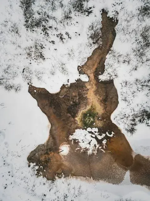
For households, thaw can mean a floor that no longer sits level. Permafrost thaw has caused catastrophic damage to homes by collapsing or sinking foundations, exposing families to mold and physical safety hazards.
The village of Point Lay is a frequent example. Thoman said the summer thaw depth there has increased so much that many buildings in the community are now tilting. In Fairbanks, researcher Anna Liljedahl pointed to buyers who purchased property without understanding the frozen ground below, then found sinkholes appearing and foundations sinking.
Runways and the lifeline problem
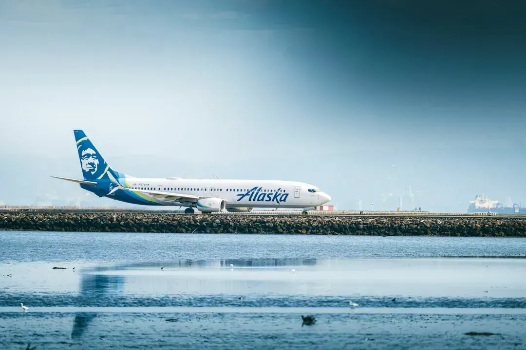
Many Alaska communities have no road connection, so runways carry food, fuel, mail and patients. When the ground under an airstrip settles, the whole community can feel it. Permafrost destabilization of airport runways and roadways has temporarily severed hospitals in Nome from vital supplies.
A broader analysis from 2025 linked such damage to health care access more generally. Thaw related damage to hospitals, roads and runways has disrupted delivery of critical medical services and supplies. A single cracked runway can matter well beyond the airport fence.
What the price tag looks like
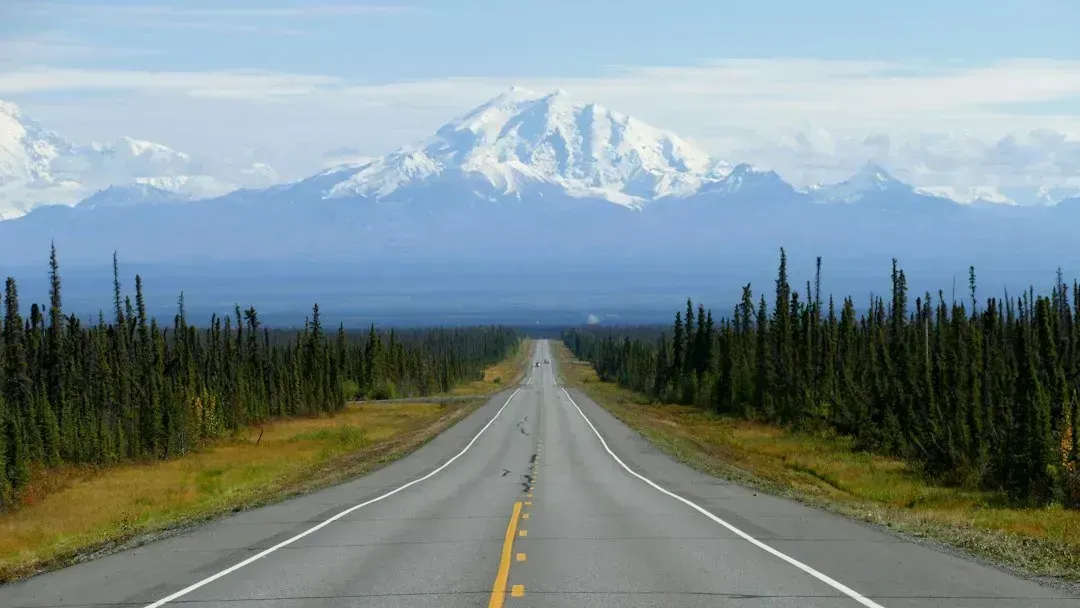
A 2025 study in Communications Earth and Environment produced the most detailed estimate yet. It put thaw costs for Alaska roads and buildings at $37 billion to $51 billion through the middle of the century. The authors credited a more complete inventory of roads and structures, built with improved satellite imagery and other technology.
Earlier figures were much lower. Studies that counted only publicly owned infrastructure had placed the estimate at $2.1 to $11.8 billion. Even the new tally is not final, since the study’s infrastructure count is incomplete, and a separate 2026 paper in Earth’s Future estimated $261 billion by the middle of the century for permafrost regions broadly when building height and floor space were counted.
Where the risk heads next, and how people are responding
A 2026 study led by Penn State’s Ming Xiao focused on the Arctic Coastal Plain. Under high emissions, it projects damage risk for about 80% of buildings, 60% of roads and 90% of pipelines by the 2090s. That means roughly four in five buildings, about three in five roads and nine in ten pipelines in that region.
Tools for spotting trouble early are improving. Drone based surveys and sensor updated models can help map thaw and forecast its effects. Funding remains a hurdle, because the federal Stafford Act addresses acute events like storms, not gradual ones like permafrost thaw.
Where things stand in late 2026
The ground beneath Alaska’s roads, homes and runways is warming, and the damage is already documented in places like Fairbanks, Point Lay, Nome and Utqiaġvik. In Utqiaġvik, a bluff’s partial collapse in 2023 and 2024 brought its eroding edge close to roads and buildings.
Cost estimates differ by method, but they all point in the same direction. The 2025 study found that damage costs in Alaska are projected to double under medium and high emission scenarios, and monitoring work continues across the state.

- Blue whales vanish from the Galápagos, and scientists suspect El Niño - November 11, 2026
- 8 Famous Battles That Were Decided by the Weather - November 11, 2026
- Black Sunday 1935: 9 Photos From the Worst Dust Storm of the Dust Bowl Era - November 11, 2026
