


1. A rotating wall cloud hanging from the storm’s base
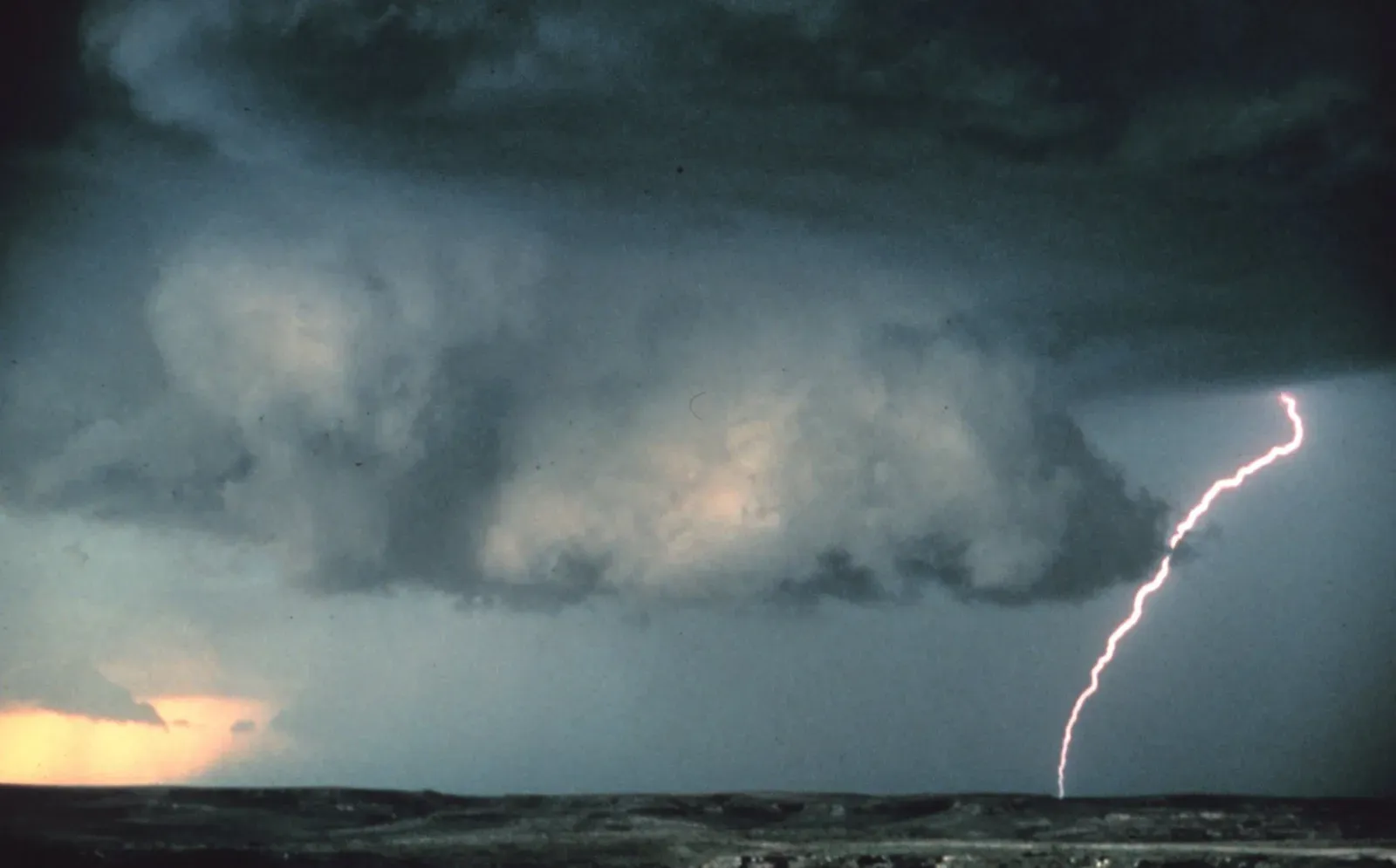
Storm chasers watch closely for a wall cloud, which is an isolated cloud lowering attached to the rain-free base of the thunderstorm. It usually forms toward the rear of the visible rain shaft, and its presence tells chasers that the storm has a strong, organized updraft feeding it. Not every wall cloud produces a tornado, but the ones that do tend to share certain traits.
A wall cloud may also persistently rotate, have strong surface winds flowing into it, and may have rapid vertical motion indicated by small cloud elements quickly rising into the rain-free base. When chasers see that kind of sustained spin rather than a wobble that fades in a minute or two, it moves from an interesting cloud feature to a genuine warning sign worth tracking closely.
2. Rotation that keeps tightening instead of fading
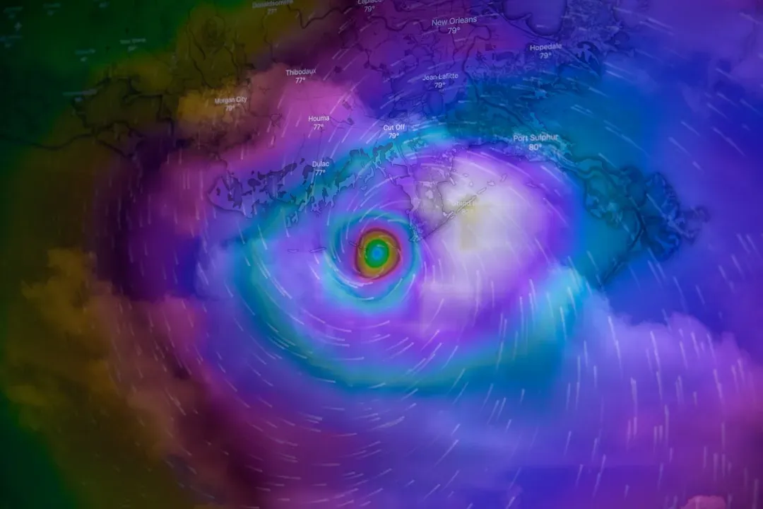
It is not enough for a storm to simply have some rotation somewhere in its structure. What chasers really watch for is whether that spin is getting tighter and faster over time. Wall clouds should be monitored visually for signs of persistent, sustained rotation and rapid vertical motion, and rotation that visibly tightens over even a few minutes is a serious escalation signal.
This tightening effect mirrors what is happening on radar as a mesocyclone strengthens, but chasers in the field are often watching it happen with their own eyes before any warning is issued. Inflow bands feeding into the storm can offer another clue here. If the inflow bands have a spiraling nature to them, it suggests the presence of rotation deeper within the storm structure.
3. Large hail falling with little or no rain
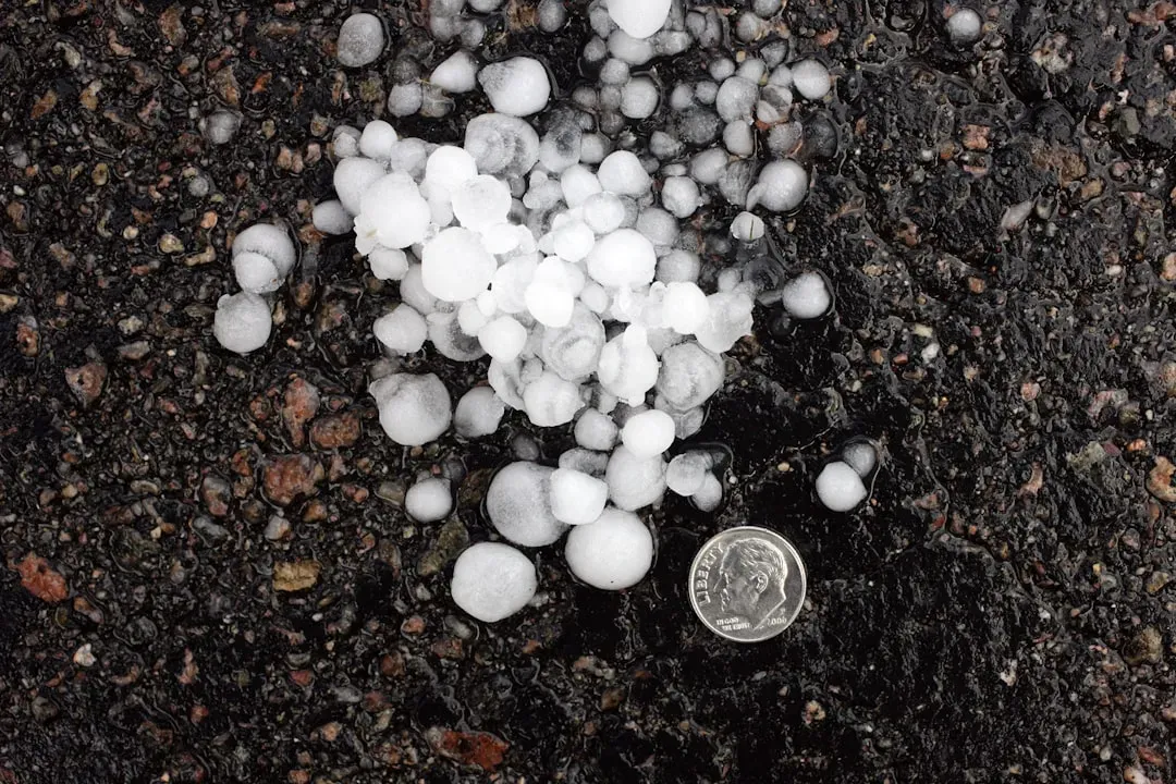
Golf ball sized hail or bigger is more than just a hazard to car windshields. Chasers treat it as a signal about what is happening inside the storm’s core. Hailstones forming inside a supercell thunderstorm can reach the size of golf balls or larger before they fall. That size of ice only forms when an updraft is powerful enough to suspend the stones long enough to keep growing.
The real red flag comes when that hail falls from an area of the sky that looks almost clear. Hail falling from a nearly rain-free portion of the sky is a signal that warrants immediate attention, and if there is a watch or warning posted, falling hail should be thought of as a real danger sign, so stop and take action rather than waiting for it to pass. Large hail alone does not confirm a tornado is coming, but paired with other signs it raises the stakes considerably.
4. The sky turning an unnatural green or yellowish color
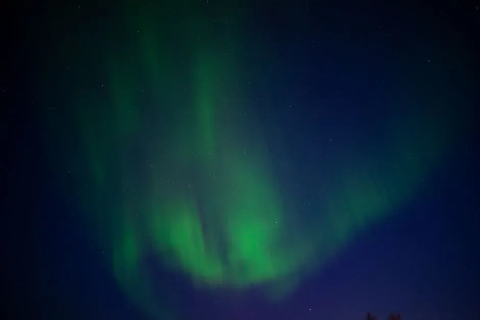
Few tornado warning signs are as talked about, or as debated, as the greenish sky. Chasers who have seen it describe it as genuinely unsettling, almost otherworldly compared to a normal storm sky. This happens because blue light scattered by heavy rain and hail within the storm cloud mixes with the red or yellow light of a low-afternoon sun, and the green sky is perhaps the most widely discussed atmospheric sign of a pending tornado.
It is worth being careful here, since the color is not a guarantee of anything specific. Neither a green sky nor dark clouds guarantee the development of tornadoes or severe weather, but severe weather such as tornadoes, hail, lightning, and heavy rain is possible, so it pays to stay alert when the sky looks like this. Chasers generally treat it as a cue to check radar and look for the other signs on this list rather than a standalone confirmation.
5. A sudden, eerie calm after intense wind or hail
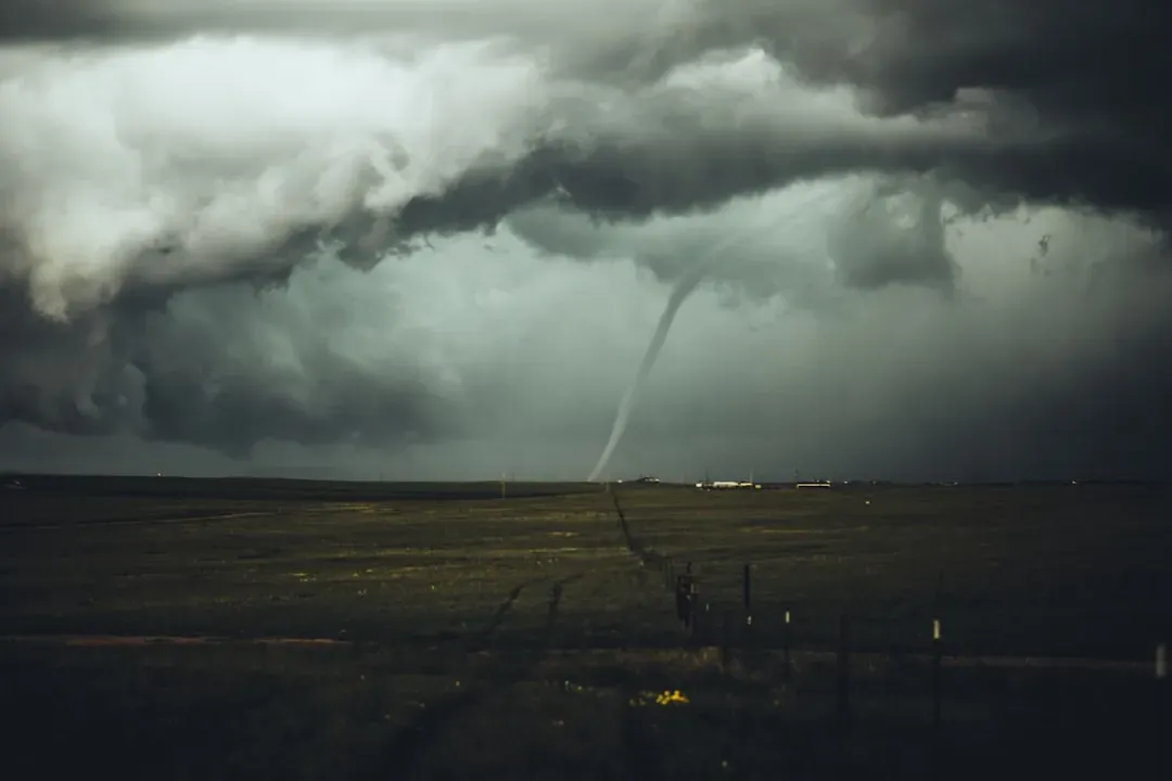
One of the stranger moments chasers describe is when a violent, noisy storm suddenly goes quiet. Wind that had been gusting hard just settles, and the air feels heavy and still in a way that does not match what came before it. Before a tornado strikes, the wind may die down and the air may become very still.
This lull can be deceptive precisely because it feels like relief after a rough stretch of weather. Sometimes tornadoes occur during what seems like a temporary calm in a severe storm, which is the storm reloading, and the tornado can strike suddenly after that calm period. Chasers who know this pattern do not relax when things go quiet. If anything, that silence is often when they get most alert.
6. A visible debris cloud or a freight train roar
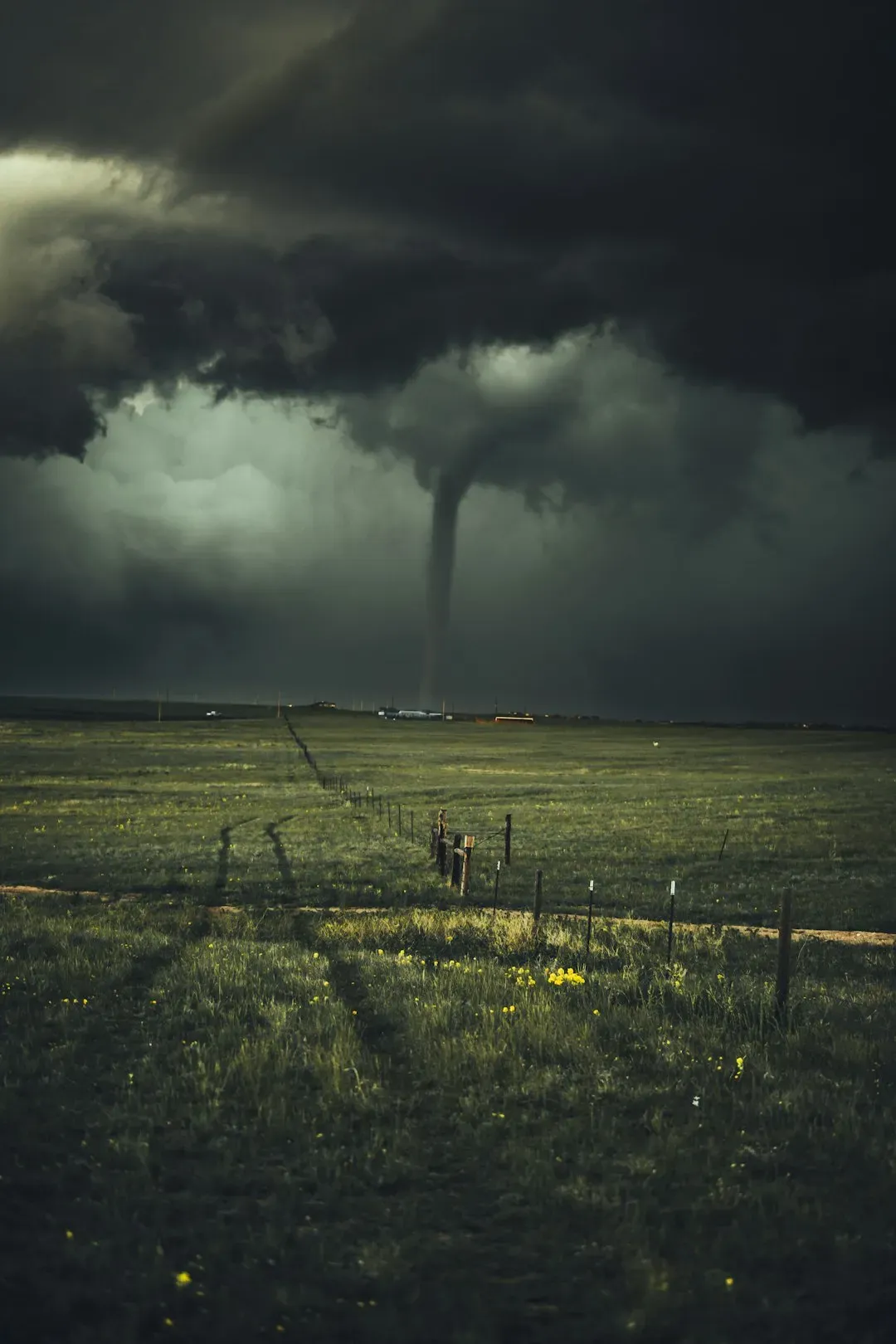
By the time chasers hear a continuous, deep roaring sound, the tornado is often already on the ground, even if the funnel itself is hard to see. A tornado often produces a roaring noise many survivors describe as similar to a freight train, low, deep, and continuous, and if a storm’s roar does not fade after several seconds, it should be assumed a tornado may be forming or already on the ground. This sound is one of the more reliable cues precisely because it does not depend on visibility.
Debris at ground level tells the same story in a different way. Organized, rotating dust or debris at ground level beneath a thunderstorm confirms that a tornado is on the ground even if no condensation funnel is visible, and it should be treated as an immediate danger. Chasers pay particular attention to this sign during rain wrapped tornadoes, when heavy precipitation hides the funnel from view entirely. Taken together, these six signs form the mental checklist experienced storm chasers run through almost automatically once a supercell starts to organize. None of them work in isolation, and meteorologists are quick to point out that tornado formation still carries real uncertainty even when several signs line up. What the signs offer instead is a layered warning system built from decades of field observation, one that gives spotters and everyday residents alike a better shot at recognizing danger before it arrives rather than after.
