

- The Planet Where It Rains Liquid Glass – 7 Alien Worlds Defying Known Physics - November 14, 2026
- Stars Consuming Entire Worlds – 6 Planetary Systems Swallowing Their Own Worlds - November 14, 2026
- The Ground Liquefies Like Water – 6 Silent Fault Lines Geologists Watch Closely - November 14, 2026
Most people measure weather change in dramatic moments: the record-breaking summer, the freak snowstorm, the hurricane that made national headlines. What’s harder to track are the gradual, background-level shifts that accumulate over years and decades without triggering a news alert. These are the changes that don’t announce themselves loudly but show up in subtler ways, from the timing of your last frost to the reliability of a sunny fall afternoon.
The United States has been quietly recording these shifts for some time now, and the data is starting to tell a coherent story. Several atmospheric and seasonal patterns that once felt predictable have moved in ways that most people simply haven’t had reason to notice. Here are seven of the most meaningful ones.
1. Winters Are Running Warmer Across Much of the Country
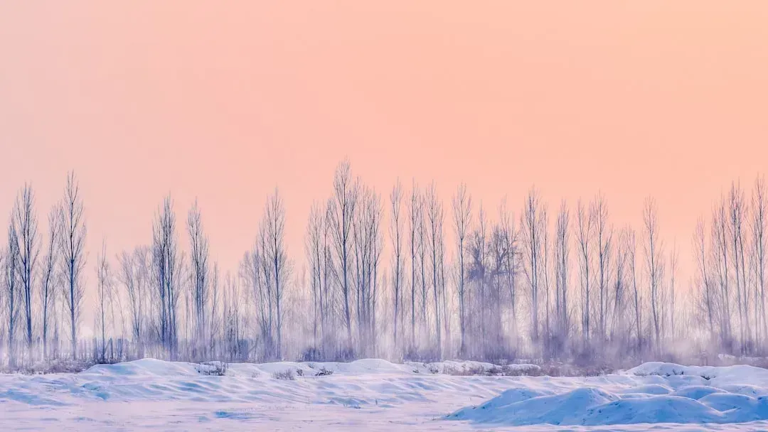
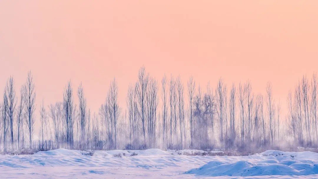
The most consistent shift over recent decades has been a broad warming of American winters, and the numbers have become hard to ignore. The winter spanning December 2024 through February 2025 ranked as the second warmest for the contiguous United States and was the driest in 45 years. That’s not an isolated spike, it’s part of a multi-decade trend that’s been building steadily.
Arizona, New Mexico, and Utah each broke their previous warmest-winter record by more than 2°F during that period. For residents in those states, winters that once delivered reliable cold snaps are now frequently offering what feels more like a prolonged autumn. The shift is real, measurable, and continuing.
2. The Frost-Free Season Has Grown Noticeably Longer
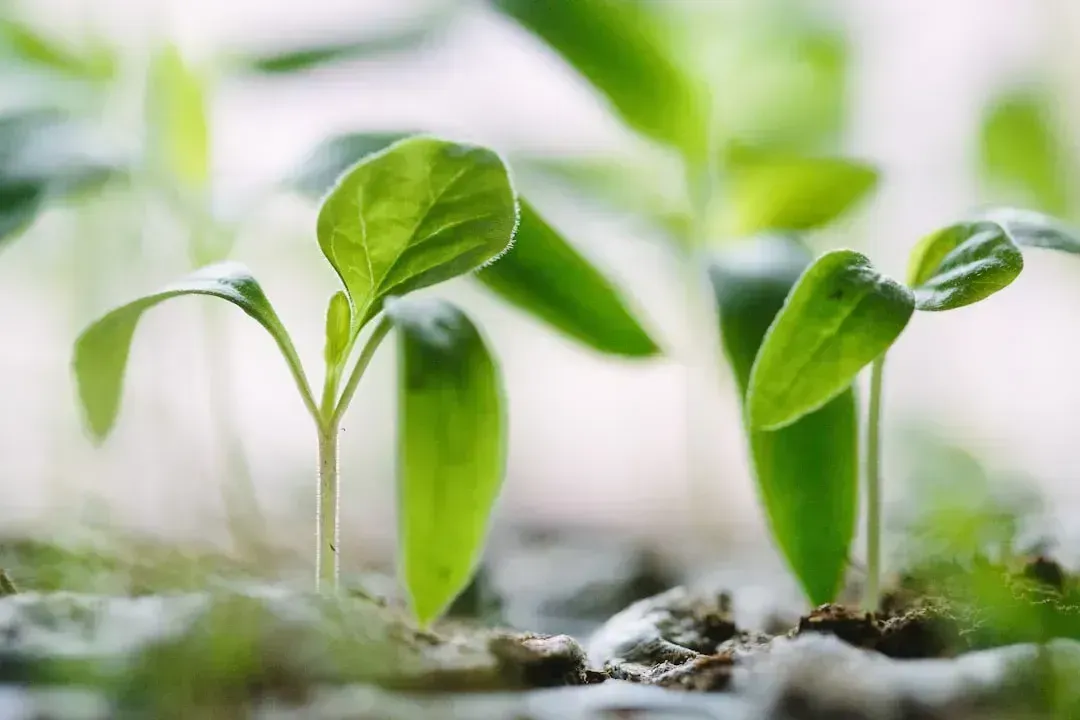
One of the quieter transformations is one that gardeners and farmers may have sensed without quite naming it: the window between the last spring freeze and the first fall freeze has been expanding. Warming driven by carbon pollution results in more freeze-free days each year, and according to the EPA, the growing season is now more than two weeks longer on average across the contiguous U.S. compared to the beginning of the 20th century.
Recent Climate Central analysis found that the annual freeze-free season has grown longer in 164 U.S. cities since 1970. Some cities have seen the shift in their first fall freeze date by nearly a month. The five cities with the biggest shifts in first freeze since 1970 include Reno, Nevada at 41 days later, Bend, Oregon at 37 days later, and Toledo, Ohio at 28 days later. That’s not a minor tweak in the calendar, it’s a wholesale restructuring of the seasonal rhythm.
3. Spring Is Arriving Earlier, and Fall Is Shifting Later
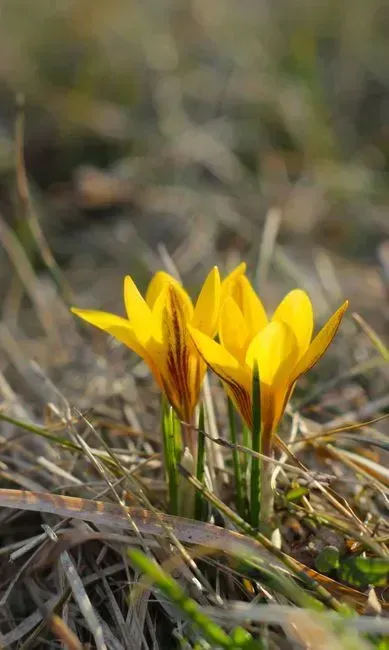
Seasons aren’t just changing in intensity, they’re changing in timing. The main, consistent pattern researchers observe is that spring is arriving earlier because it’s warmer overall. This has knock-on effects that go well beyond the first warm weekend of the year. Climate change is also altering rainfall patterns and wind patterns, and if it’s exceptionally dry or exceptionally rainy, that can affect the timing of spring as well.
Spring is coming earlier in parts of the Northeast and fall is shifting later, with longer summers and shorter winters as a result. These changes in the timing of seasons affect fish and wildlife species that use temperature, snowpack, and streamflow as cues for recurring life events. The cascading effects on ecosystems are significant, even if the calendar shift itself feels subtle from a human perspective.
4. The Polar Vortex Has Become More Erratic
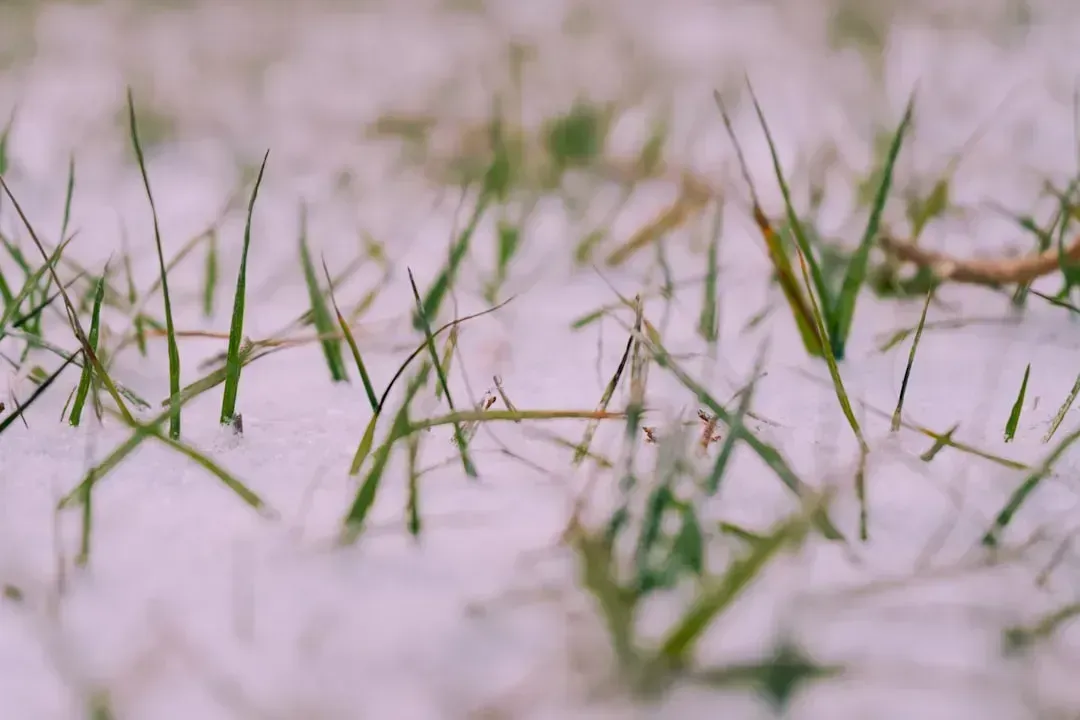
Most Americans first heard the term “polar vortex” when a brutal cold snap hit the Midwest in 2014. Since then, disruptions to this atmospheric feature have become a recurring winter story. The polar vortex is a large area of low pressure and cold air surrounding the Earth’s poles, and it always exists near the poles, weakening in summer and strengthening in winter. When it destabilizes, the consequences spread southward fast.
Because the Arctic is warming nearly four times faster than the rest of the world, the polar vortex is weakening. When this band of strong winds becomes unstable, it can shift or split, allowing Arctic air to spill into mid-latitudes and causing the severe cold snaps Americans are experiencing. The paradox is real: a warming planet is making certain American winters feel wilder and more unpredictable, not milder across the board. There is plenty of research linking disruptions of the stratospheric polar vortex to extreme cold air outbreaks in the mid-latitudes of the United States or Eurasia a few weeks later.
5. The Jet Stream Is Drifting Northward Over Time
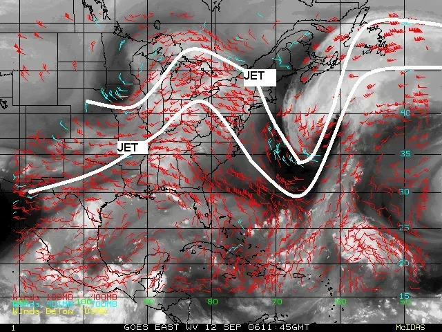
The jet stream serves as the highway along which storm systems travel, and its position shapes a huge proportion of American weather. Since the early 2000s, climate models have consistently identified that global warming will gradually push jet streams poleward, and by 2008 observational evidence confirmed that from 1979 to 2001, the northern jet stream moved northward at an average rate of about 1.25 miles per year. That’s a slow drift, but its effects accumulate meaningfully over decades.
The jet stream, that river of air 30,000 to 40,000 feet in the atmosphere that serves as a storm highway, can shift northward across the eastern Pacific Ocean during certain climate phases, causing a ripple effect on the atmosphere across North America. A jet stream that sits in a different average position affects where rain falls, where drought develops, and how winters compare to historical norms. Climate scientists have hypothesized that the jet stream will also gradually weaken as a result of global warming, driven by trends like Arctic sea ice decline and reduced snow cover.
6. High-Tide Flooding Is Happening Far More Often on Sunny Days
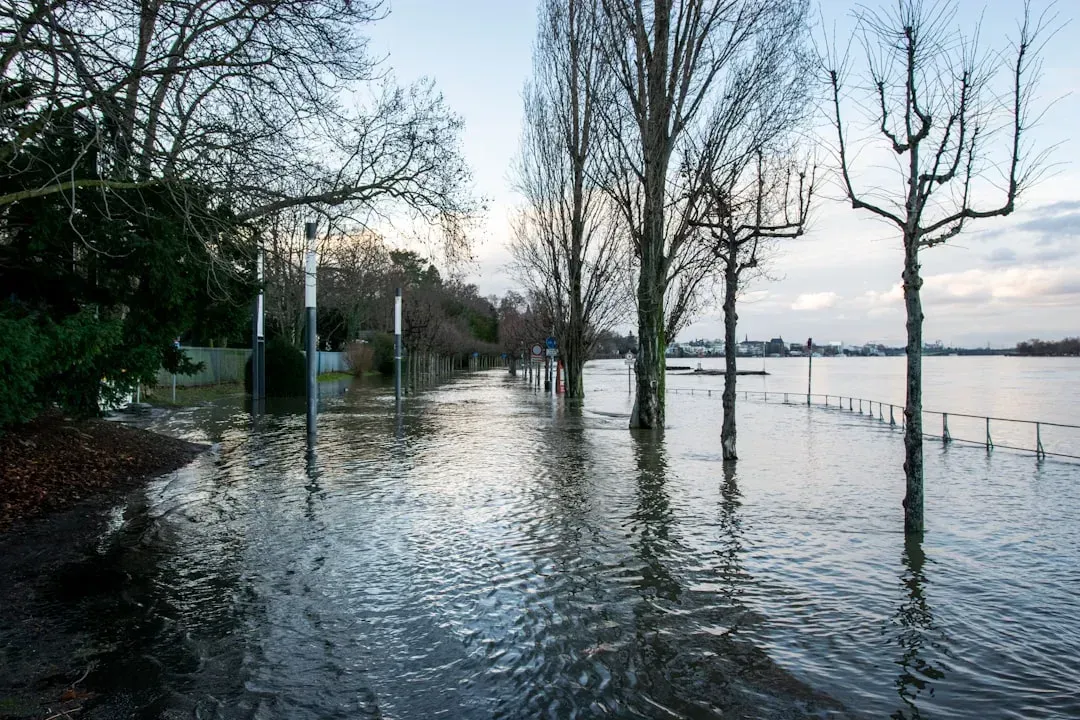
Coastal flooding used to require a storm. That assumption has quietly become outdated in dozens of American communities. High-tide flooding, sometimes referred to as “nuisance” or “sunny day flooding,” is increasingly common due to long-term sea level rise driven in part by climate change, and it occurs when tides reach one to two feet above the daily average high tide. As sea level rise continues, it no longer takes severe weather to cause flooding along the coast.
Overall, the U.S. is predicted to experience a median of five more flood days per year compared to the year 2000, a more than 200% increase. That trajectory is steep. As sea levels continue to change, coastal communities will experience more frequent high-tide flooding, projected at a national average of 55 to 85 days per year by 2050. For the nearly four in ten Americans who live in coastal communities, this is a shift already affecting daily life in small but accumulating ways.
7. The Southwest Is Getting Drier While Rainfall Elsewhere Is Getting More Intense

Across the American Southwest, the long-term drying trend has accelerated over recent years. Droughts in the Southwest are projected to become more intense, and cold waves less intense and less frequent. Meanwhile, the story elsewhere in the country isn’t simply “more rain.” It’s rain arriving in more concentrated bursts. Some changes such as droughts, wildfires, and extreme rainfall are happening faster than scientists previously assessed.
The overall picture is of a country warming about 60% faster than the world as a whole. Since 1970, the Lower 48 states have warmed by 2.5 degrees Fahrenheit and Alaska has heated up by 4.2 degrees Fahrenheit, compared to the global average of 1.7 degrees Fahrenheit. A warming atmosphere holds more moisture, which means when rain does fall, it often delivers more of it in a shorter window. That pattern is reshaping what “a rainy day” looks like across much of the country, with quieter stretches punctuated by harder, faster downpours.
None of these seven shifts arrived with a formal announcement. They’ve built up in the background of ordinary life, showing up in the gardening calendar, in coastal parking lots during clear afternoons, in a winter that felt strangely short. The cumulative picture, when you step back and look at all seven together, reflects a weather system in genuine transition. Understanding these quieter signals may ultimately prove more useful than waiting for the next record-breaking event to make things obvious.
