

- The Planet Where It Rains Liquid Glass – 7 Alien Worlds Defying Known Physics - November 14, 2026
- Stars Consuming Entire Worlds – 6 Planetary Systems Swallowing Their Own Worlds - November 14, 2026
- The Ground Liquefies Like Water – 6 Silent Fault Lines Geologists Watch Closely - November 14, 2026
Weather has never been entirely predictable, but even seasoned meteorologists have been left shaking their heads recently. The past year or so has delivered a string of events that don’t just break records – they shatter assumptions about how the climate system is supposed to behave.
From polar ice shrinking at speeds that outpace historical models to hurricanes rewriting record books that had stood for nearly a century, 2025 and early 2026 have served up anomaly after anomaly. Some of these events were extreme in isolation. Others were deeply unsettling precisely because of what they say about the direction things are heading.
1. Global Sea Ice Hit an All-Time Low in February 2025
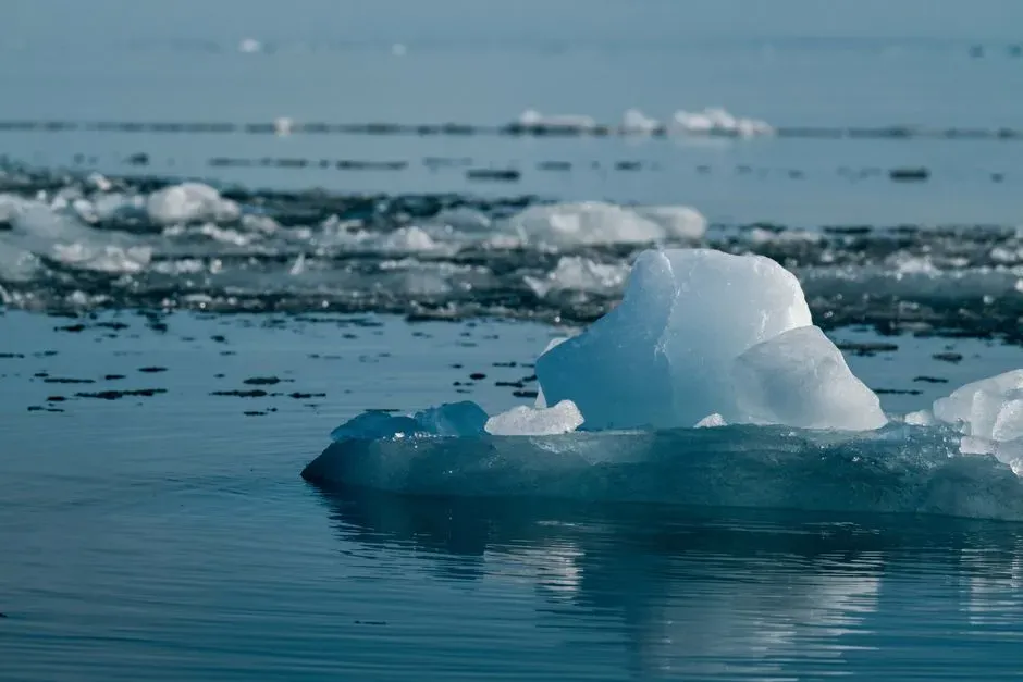
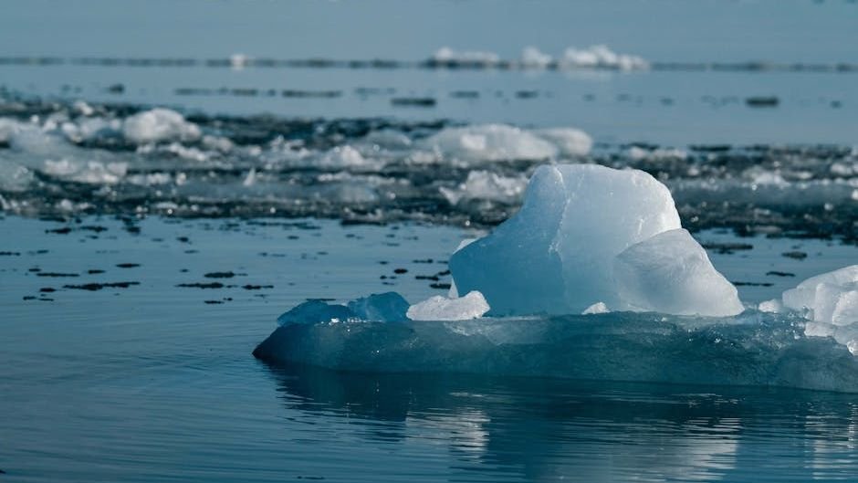
The daily global sea ice extent, which combines sea ice cover in both polar regions, reached a new all-time minimum in early February 2025 and remained below the previous record set in February 2023 for the rest of the month. That’s not a seasonal dip or a blip on a graph. It’s the lowest combined polar ice reading in the entire 47-year satellite era.
Arctic sea ice saw its lowest monthly extent for February at roughly eight percent below average, while Antarctic sea ice was around a quarter below average. Globally, ice coverage in mid-February declined by more than a million square miles from the pre-2010 average – an area large enough to cover the entire continental United States east of the Mississippi. The sheer scale of what’s missing at both poles simultaneously is what made this anomaly so jarring for researchers.
2. Arctic Winter Sea Ice Reached a Record Low Peak in March 2025

Winter sea ice cover in the Arctic was the lowest it has ever been at its annual peak on March 22, 2025. At roughly 14.33 million square kilometers, the maximum extent fell below the prior low of 14.41 million square kilometers recorded in 2017. Winter is supposed to be when Arctic ice rebuilds itself. The fact that it failed to do so at any point in modern satellite history is exactly the kind of signal that keeps polar scientists awake at night.
The winter of 2024 to 2025 was one of the mildest Arctic winters on record, with temperatures at roughly one kilometer altitude averaging around three degrees Celsius above the 1981 to 2010 average from November through March. Arctic sea ice extent in March 2025 remained at a record low for the time of year, coming in about six percent below the long-term average – the lowest March figure in 47 years of satellite records. A winter that warm at the top of the world has cascading consequences for weather patterns far to the south.
3. Three Category 5 Hurricanes Formed in a Single Atlantic Season
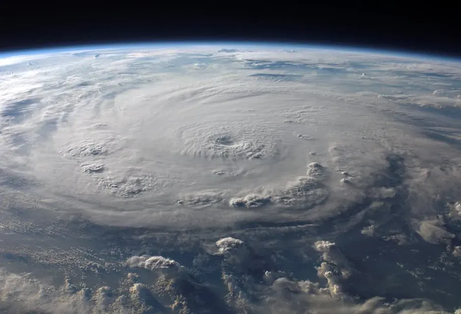
Over the past century, only about three percent of Atlantic tropical cyclones have ever reached Category 5 intensity. Yet, extraordinarily, three of the 2025 season’s thirteen named storms – roughly nearly a quarter of them – reached Category 5 strength: Erin in August, Humberto in September, and Melissa in October. The odds of that happening in a single season are vanishingly small under historical norms.
This made 2025 only the second year in recorded history in which more than two Category 5 storms appeared in the Atlantic. The only other season to surpass it was 2005, when four storms reached that threshold. The two-year stretch of 2024 and 2025 is also only the second time that the Atlantic has seen two consecutive years with multiple Category 5 storms. Meteorologists found the back-to-back nature of 2024 and 2025 particularly alarming.
4. Hurricane Melissa Tied the Atlantic Wind Speed Record from 1980
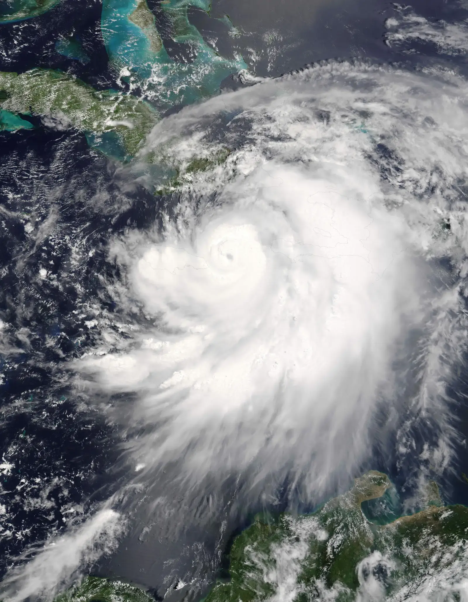
Hurricane Melissa was an extremely powerful tropical cyclone that made a catastrophic landfall in Jamaica in late October 2025. By maximum sustained winds, it is tied with Hurricane Allen as the strongest Atlantic hurricane on record, and with Hurricane Dorian and the 1935 Labor Day hurricane as the strongest landfalling Atlantic hurricane. Allen and Melissa are the only Atlantic hurricanes ever to attain maximum sustained winds of 190 mph. Nearly 46 years separated those two storms.
Melissa underwent one of the most dramatic rapid intensification events on record, with a 105-knot increase in wind speeds in just three days. Melissa experienced extreme rapid intensification over waters that were around 2.5 degrees Fahrenheit warmer than average, sea conditions that rapid attribution studies estimated to be hundreds of times more likely because of human-caused climate change. Climate change is estimated to have strengthened the hurricane’s top wind speed by roughly 10 mph, increasing its potential to inflict damage by up to half. The storm claimed 95 lives and caused catastrophic damage across the Caribbean.
5. Melissa Set a Global Wind Gust Record That Had Never Been Measured Before

Beyond matching Allen’s Atlantic basin record, Melissa set a remarkable global record when a dropsonde measured an instantaneous wind gust of 252 mph – the strongest wind ever recorded by a dropsonde in any tropical cyclone worldwide. This surpassed the previous global record of 241 mph set by Super Typhoon Megi in 2010. The measurement was later verified by the National Center for Atmospheric Research, which originally developed the GPS dropsonde technology.
Unusually for a storm of such high intensity, Melissa never underwent an eyewall replacement cycle, allowing it to sustain its extreme intensity for a prolonged period, according to several meteorologists. Jamaica suffered the worst of the destruction: damages reached roughly $8.8 billion USD, equal to about 41 percent of the island’s entire 2024 GDP. A storm that produces the highest wind gust ever measured at the ocean’s surface and simultaneously devastates a nation economically is the kind of event that redefines worst-case scenarios.
6. The June 2025 Northeast U.S. Heat Wave Shattered Over 3,000 Records

Summer arrived early with a powerful heat wave between June 19 and 25, 2025. That week-long event set over 3,000 daily record-high temperatures in towns across the nation, with some locations measuring their hottest June or all-time temperature readings. A record count in the thousands from a single week is already extraordinary. What made it stranger was where some of those records fell.
Boston and Philadelphia experienced their hottest days since 2011 and 2012, respectively. A thermometer in Augusta, Maine, recorded 100 degrees Fahrenheit, tying its all-time record high set in August 1955. It joined 19 other stations where temperatures had never climbed that high since record-keeping began. A triple-digit June reading in Maine – a state not remotely associated with desert heat – is the kind of detail that lingers long after the headlines move on.
7. The First EF5 Tornado in 12 Years Tore Through North Dakota
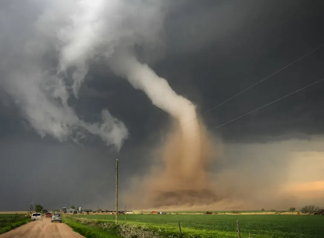
The first EF5 tornado in 12 years tore through Enderlin, North Dakota, on June 20, 2025, with winds of 210 mph. It took until early October for the National Weather Service to confirm the rating, which is the highest possible on the Enhanced Fujita Scale. The tornado killed three people and was more than a mile wide, leaving a massive scar visible on satellite images.
The EF5 was one of 25 tornadoes that formed that same night, which also featured a derecho and post-derecho high winds across much of North Dakota. In the full year, there were 41 tornadoes rated EF3 or higher, five of those reaching EF4 strength, with one EF5 – and all of them struck in the United States. A single night producing 25 tornadoes and one EF5 in the Northern Plains, typically spared the worst of tornado season, left meteorologists reaching for new language to describe it.
8. The Emerging El Niño Could Push 2026 Into Record-Breaking Territory
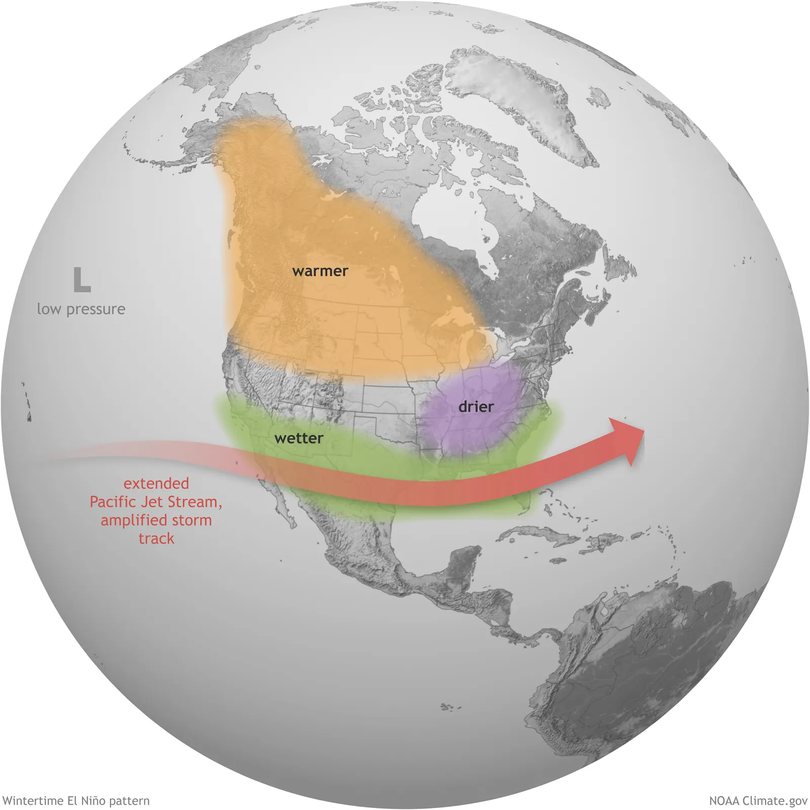
As of mid-May 2026, sea surface temperature anomalies are increasing across the central-eastern equatorial Pacific, indicating an ongoing warming pattern that may support El Niño development. The latest seasonal forecasts from WMO Global Producing Centres indicate a pronounced shift toward El Niño conditions, with probabilities reaching roughly four in five for the summer months of 2026. What makes this development particularly striking is the baseline it’s building on top of.
Scientists say the combination of El Niño and rising global temperatures could push 2026 to either the warmest or second-warmest year on record. A previous El Niño helped drive average global temperatures in 2024 to a record 1.55 degrees Celsius above pre-industrial levels. Even before the likely arrival of the full El Niño pattern, 2026 has already been described as an “extraordinary” year for weather extremes by scientists at the World Weather Attribution research group. For meteorologists watching this unfold in real time, the concern isn’t just what El Niño does on its own – it’s what it does to a climate system that is already running hotter than it has in recorded history.
What runs through all eight of these anomalies is a single, uncomfortable thread: these are not flukes operating in isolation. Records set decades apart are being matched and broken within the same calendar year. Ice that was supposed to recover in winter didn’t. Storms that were considered nearly impossible are becoming plausible, then real, then record-setting. The science doesn’t suggest the pace is slowing.
