


- NASA invites students to design a moon base in $1 million challenge - November 11, 2026
- Why Some People Can Feel a Storm in Their Joints, According to Experts - November 11, 2026
- 7 Foods That Taste Better on a Rainy Day, According to Chefs - November 11, 2026
Fog is a cloud that happens to be sitting on the ground. The droplets that make it up are tiny, usually just a few micrometers across, and they hang in the air instead of falling as rain. By convention, meteorologists call it fog when visibility drops below one kilometer.
The headline idea is simple, though the details take some unpacking. Air can only hold so much water vapor, and that limit shifts with temperature. When the air near the surface reaches the point where it can’t hold any more, the vapor begins to condense into visible droplets.
What the Dew Point Actually Measures
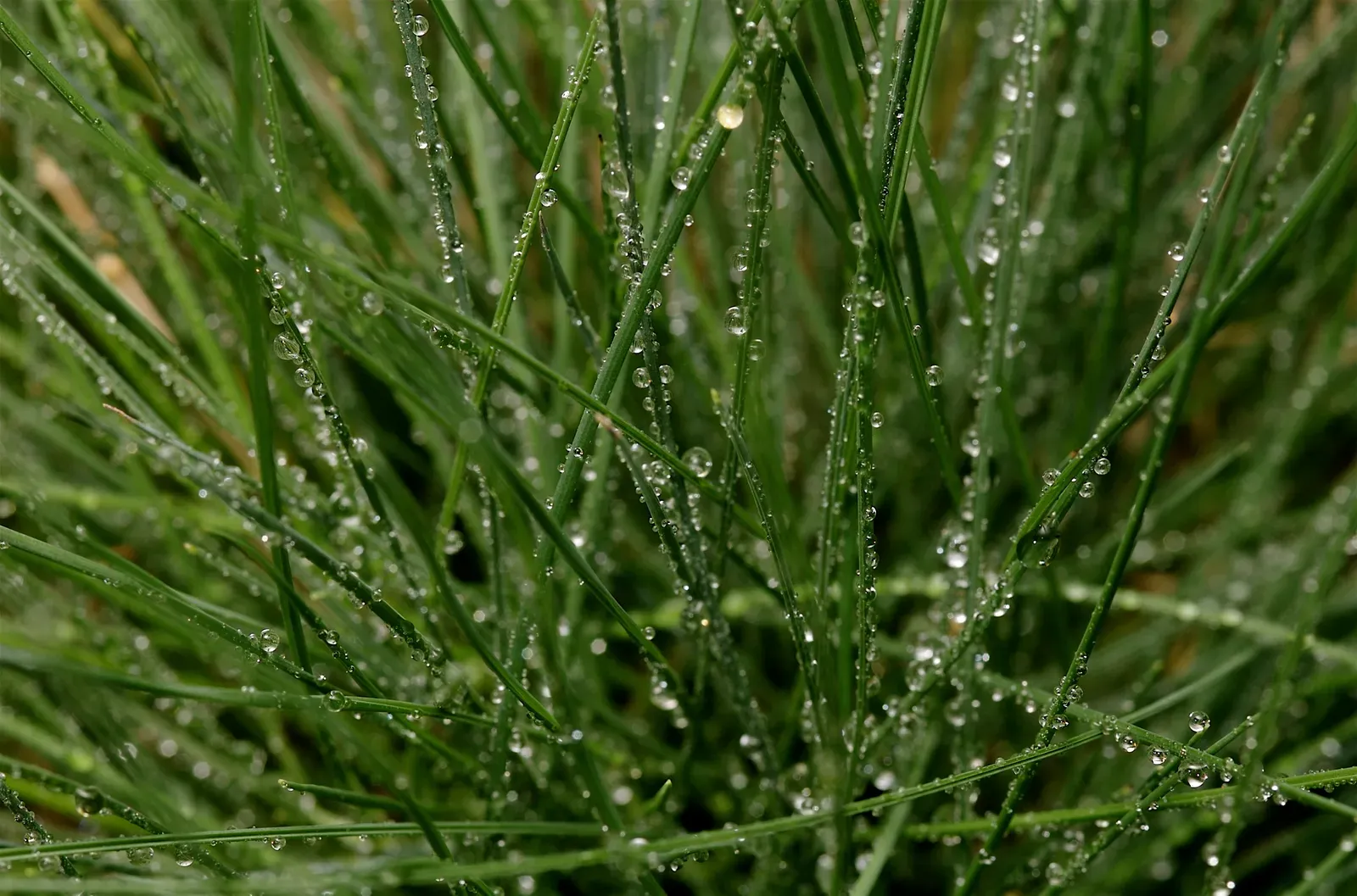
The dew point is the temperature at which air becomes saturated with water vapor, assuming pressure and moisture content stay the same. Cool the air to that value and relative humidity reaches one hundred percent. Past that, the excess vapor has to go somewhere, and it condenses.
Unlike relative humidity, the dew point doesn’t swing wildly with the time of day. A dew point of 15 degrees Celsius means roughly the same amount of moisture whether it’s noon or midnight. That makes it a more dependable clue for forecasters trying to guess whether fog is likely.
Why Tiny Particles Matter

Water vapor doesn’t condense onto nothing. It needs surfaces, called condensation nuclei, such as salt crystals, dust, pollen, or smoke particles. The atmosphere nearly always has plenty of them, so droplets form easily once saturation is reached.
The type of particle affects the fog. In polluted areas, there can be many more nuclei, which produces more numerous and smaller droplets. That can make fog denser and slower to clear, which is one reason some industrial regions have a reputation for thick, persistent haze.
Radiation Fog on Calm, Clear Nights
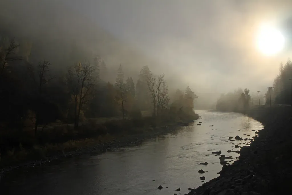
Radiation fog is the classic kind that you see in valleys and fields at dawn. After sunset, the ground loses heat to space, and the air touching it cools along with it. Clear skies and light winds make this far more efficient, because clouds would otherwise trap some of that heat.
It tends to be shallowest and thickest right before sunrise, when temperatures bottom out. Low-lying spots collect it because cold air is dense and drains downhill. Once the sun warms the surface, the fog usually thins from the bottom and burns off within a few hours.
Advection Fog and Moving Air
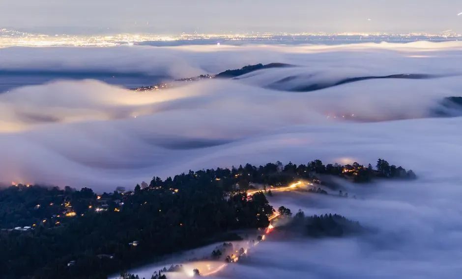
Advection fog works differently. Instead of the ground cooling the air in place, warm, moist air moves over a colder surface, such as chilled water or snow cover. The surface cools the air from below until it reaches its dew point.
San Francisco’s summer fog is the well known example. Warm air from the Pacific moves over the cold California Current and the cool upwelling water near the coast. Because wind drives this fog, it can persist through the day, unlike its radiation counterpart.
Upslope and Valley Fog
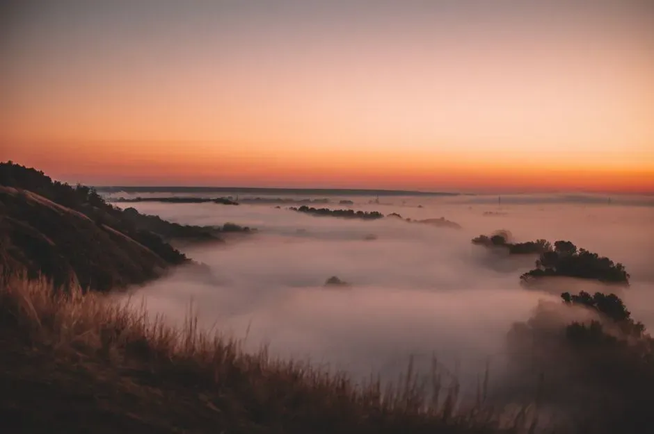
Upslope fog comes from lifting rather than surface cooling. When moist air is pushed up a hillside or mountain, it expands as pressure drops, and expansion cools it. If it cools to the dew point on the way up, a fog bank forms along the slope.
Valley fog is a cousin of radiation fog. Cold air pools in a basin overnight, and the moisture in it condenses, sometimes leaving hilltops clear above a white layer. Under strong temperature inversions, it can stay in place for days in winter, notably in places like California’s Central Valley, known for tule fog.
Evaporation Fog and Steam Fog
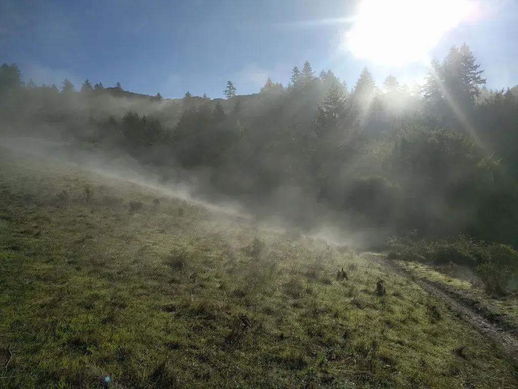
Sometimes fog forms by adding moisture rather than removing heat. Cold air moving over warmer water picks up evaporated vapor, which quickly saturates the cooler air above. The result is steam fog, which you see rising in wisps from lakes on frosty autumn mornings.
Here the dew point is reached because the vapor content rises, not because the air temperature falls. The same process helps explain frontal fog, where rain falling into cooler air below a front evaporates and saturates it. Either way, the endpoint is the same: air at its dew point.
How Forecasters Predict It
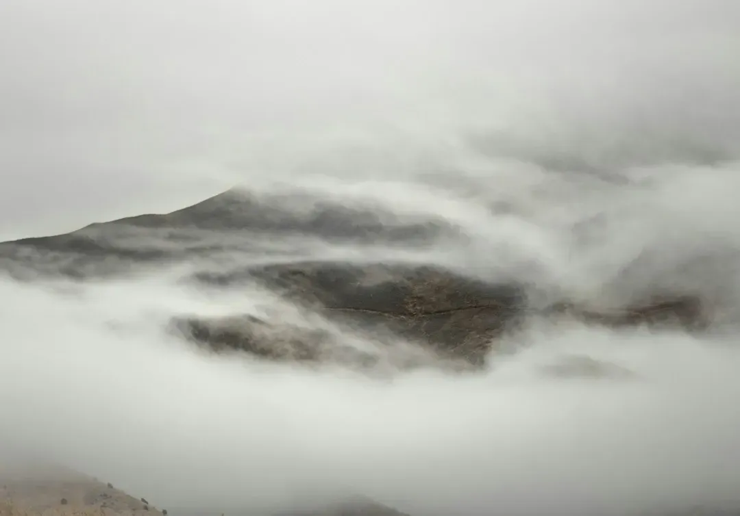
A key signal is the gap between air temperature and dew point, called the dew point depression. When that gap shrinks to around two or three degrees Celsius and temperatures are still falling, fog becomes a real possibility. Wind speed, cloud cover, and soil moisture are checked as well.
Modern forecasting uses satellite imagery, surface observations, and numerical models. Fog is still among the harder things to forecast, because it depends on small scale features such as terrain and ground moisture. Models can miss a fog patch that is only a few kilometers wide.
Why Fog Matters for Travel and Safety
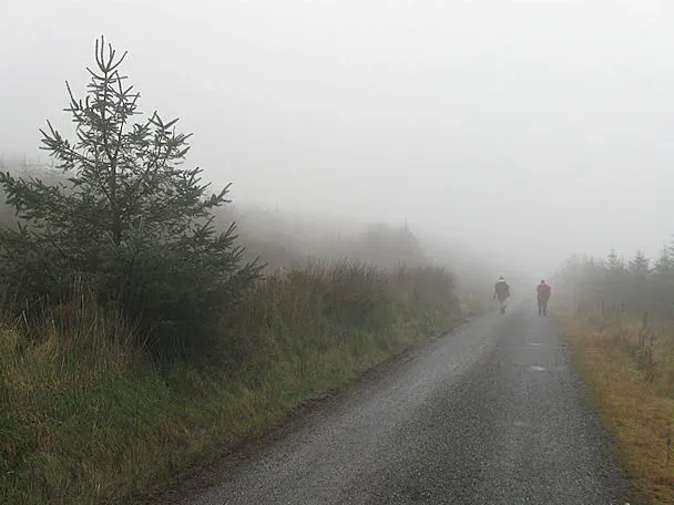
Dense fog cuts visibility sharply, and that affects roads, airports, and shipping. The United States National Weather Service advises drivers to slow down, use low beam headlights, and avoid high beams, which reflect off droplets and make it harder to see. Airports rely on instrument landing systems to keep operating when fog reduces visibility.
Fog isn’t only an obstacle. In arid coastal regions such as parts of Chile and Morocco, communities use mesh nets to collect fog droplets as drinking water. Redwood forests in California also take in a notable portion of their summer moisture from fog drip.
Fog Versus Mist and Haze
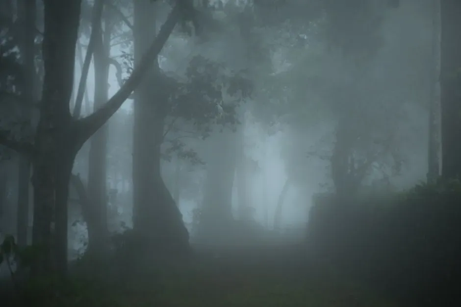
Mist and fog are the same thing physically, but they differ by visibility. Mist usually means visibility between one and two kilometers, while fog is anything below one kilometer. Dense fog is generally defined as visibility under about 200 meters.
Haze is something else. It is made of dry particles, such as dust or smoke, suspended in the air, rather than water droplets. A quick clue is that fog feels damp and tends to be white or gray, while haze often looks brownish or bluish and the air feels dry.
