
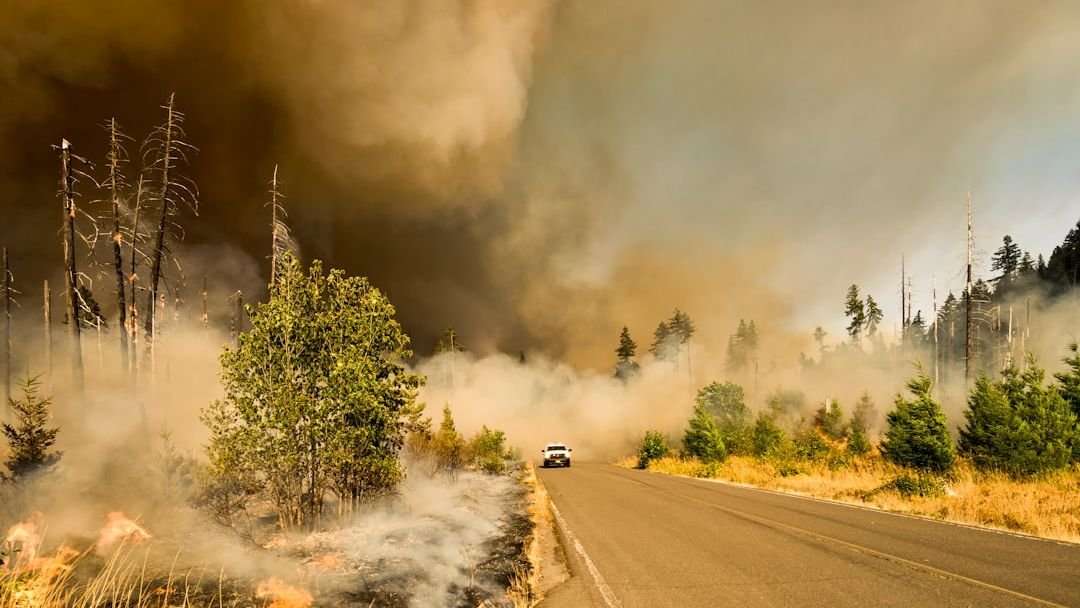
Wildfire coverage tends to fixate on the same images: scorched hillsides in Malibu, smoky orange skies over the Bay Area, residents fleeing California highways in bumper-to-bumper gridlock. That framing isn’t wrong, but it creates a blind spot. Some of the most dangerous fire counties in the country sit outside the places people assume, and a few surprises turn up in states that rarely make the national headlines.
As of early 2025, FEMA’s National Risk Index identified 485 counties across the United States with a “Very High” rating for wildfire risk. The list is longer and more geographically scattered than most people realize. What follows is a county-level look at the four most chronically fire-prone places in America, followed by three that genuinely catch experts off guard.
Los Angeles County, California: The Nation’s Most Exposed Urban Fire Zone
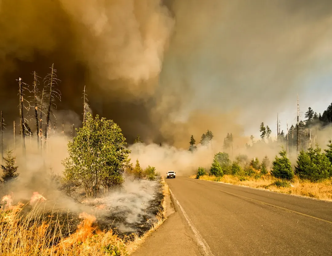
In March 2025, CAL FIRE’s updated maps designated extensive areas in Los Angeles County as “Very High Fire Hazard Severity Zones,” covering cities such as Los Angeles, Malibu, Pasadena, Santa Clarita, and Glendale. Those very high zones expanded from roughly 646,838 acres in 2011 to 817,212 acres in 2025. That’s not a modest increase. It reflects more than a decade of encroachment, hotter weather, and shifting seasonal conditions.
Areas where wind-blown embers can ignite distant structures now affect approximately 1.3 million structures in Los Angeles County. In January 2025, Southern California was hit by the massive Palisades and Eaton Fires, which together destroyed more than 18,000 buildings, took 30 lives, and displaced over 200,000 residents. No other urban county in the United States carries this combination of population density and active fire exposure.
Riverside County, California: FEMA’s Perfect Score
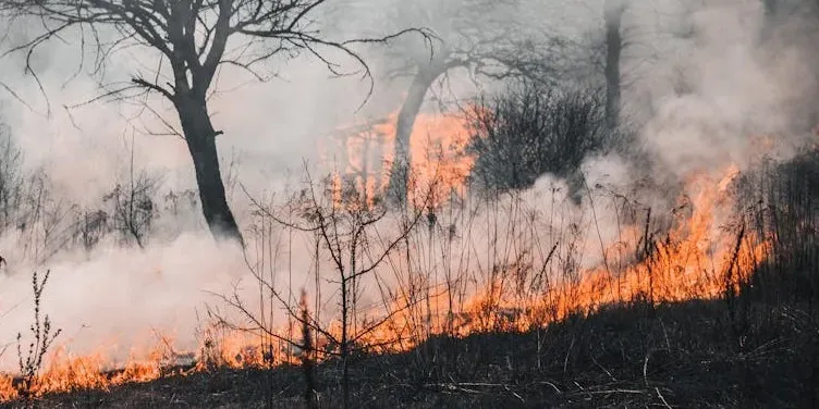
FEMA ranks Riverside County as one of the highest-risk areas for wildfires in California, giving it a maximum risk score of 100%. The county is projected to lose an estimated $319 million each year due to wildfires. That annual loss projection is not a worst-case scenario. It’s treated as a baseline expectation by federal risk modelers.
Over 70% of structures in Riverside County are at risk of wildfire damage. With an ever-growing population of more than 2.5 million, the risk of wildfires in Riverside County remains a constant danger. Risk is especially elevated in regions such as the San Bernardino National Forest, the Santa Ana Mountains, and areas around Palm Springs and Temecula. The terrain funnels wind, dries out vegetation, and gives fires a nearly uninterrupted path through populated areas.
Butte County, California: The County That Lost a Town
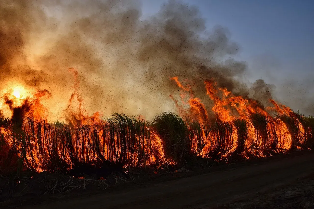
The 2018 Camp Fire in Northern California’s Butte County was the deadliest and most destructive wildfire in California history. The blaze began on the morning of November 8, 2018, when hardware on a poorly maintained Pacific Gas and Electric transmission line in the Feather River Canyon failed during strong katabatic winds. The destruction that followed was almost incomprehensible in scale.
The Camp Fire caused 85 fatalities, displaced more than 50,000 people, and destroyed over 18,000 structures, causing an estimated $16.5 billion in damage. The footprint of the Camp Fire had experienced 13 large wildfires since 1999 and 42 large wildfires since 1914, which makes clear this was not a freak event, but the explosive result of an area with a long and dangerous fire history.
San Diego County, California: Urban Growth Feeding the Risk
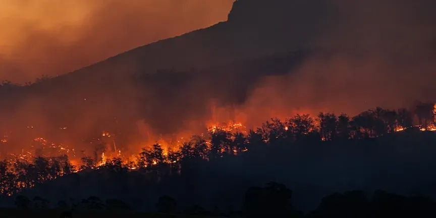
According to updated CAL FIRE maps, San Diego County has seen a 26% increase in areas classified as “Very High Fire Hazard Severity Zones,” growing from about 647,000 to over 871,000 acres. What’s especially concerning is that more urban neighborhoods are now falling within these high-risk zones. The county’s rapid suburban expansion has pushed housing developments directly into wildland terrain.
Several San Diego County cities, including Chula Vista, Del Mar, Carlsbad, Poway, Santee, and San Marcos, have experienced a minimum ten percent increase in areas classified as “Very High Fire Hazard.” Poway, in particular, now has nearly 80% of its total land area designated within this most severe fire risk zone. For a city with tens of thousands of residents, that’s a striking concentration of exposure that doesn’t get nearly enough attention.
Hutchinson County, Texas: Where the Panhandle Burns
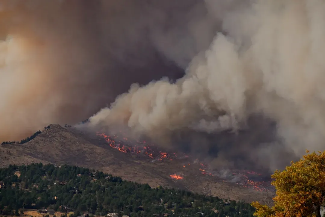
The Smokehouse Creek Fire, which started on February 26, 2024, in Hutchinson County in the Texas Panhandle, was the largest wildfire ever to burn in the state. Dry and hotter-than-normal temperatures contributed considerable fuel to it. Wind whipped it up and drove it to burn over a million acres. Texas is not a state most people place on their mental map of wildfire danger, which is exactly the problem.
A Southern Plains Wildfire Outbreak occurs when there are west-southwest winds across an area with low humidity, higher-than-average temperatures, dry vegetation, and clear skies. Wildfires in such an event often grow quickly and are difficult to control, and 18 of the 30 largest wildfires in Texas have occurred under these conditions. Hutchinson County sits squarely in this corridor, exposed to the same mechanics that ignite catastrophic fires again and again.
Bastrop County, Texas: The Loblolly Pine Trap
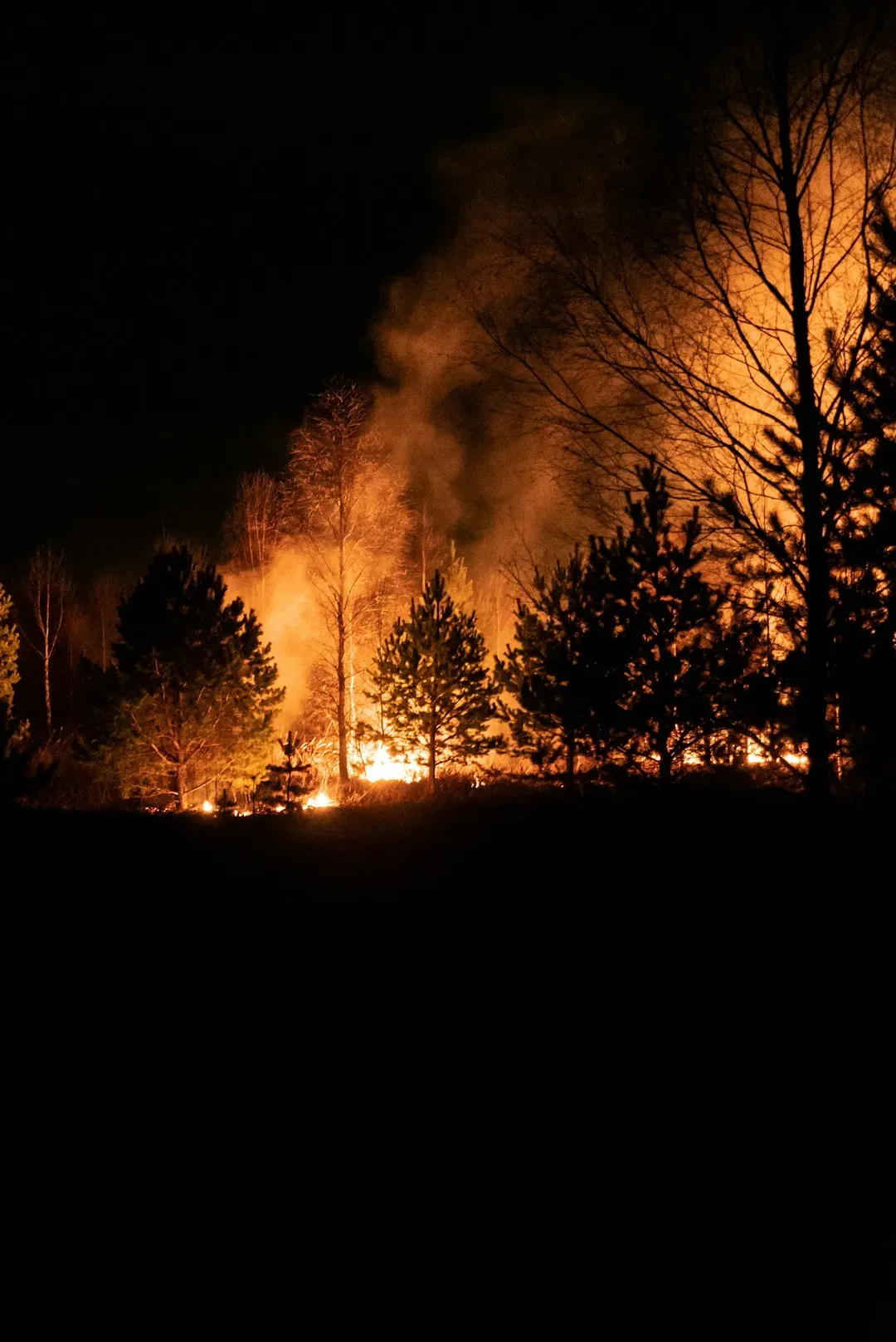
The Bastrop County Complex Fire burned around 32,000 acres and destroyed more than 1,600 homes. What makes Bastrop genuinely surprising is its geography. Located roughly 30 miles east of Austin, it’s home to isolated stands of loblolly pine, sometimes called the “Lost Pines,” which are far more flammable than the surrounding scrubland and provide continuous fuel in conditions that burn fast.
Fire trackers specifically flag Bastrop County as one of the high-risk areas to monitor within Texas, alongside Hutchinson County in the Panhandle. In January 2025, the Texas Governor renewed a wildfire disaster proclamation citing elevated fire weather conditions as an imminent threat, with Bastrop County listed explicitly among the affected counties. Given its proximity to one of the fastest-growing metro areas in the country, the fire exposure here is a quiet but growing concern.
Ventura County, California: The Forgotten Fifth
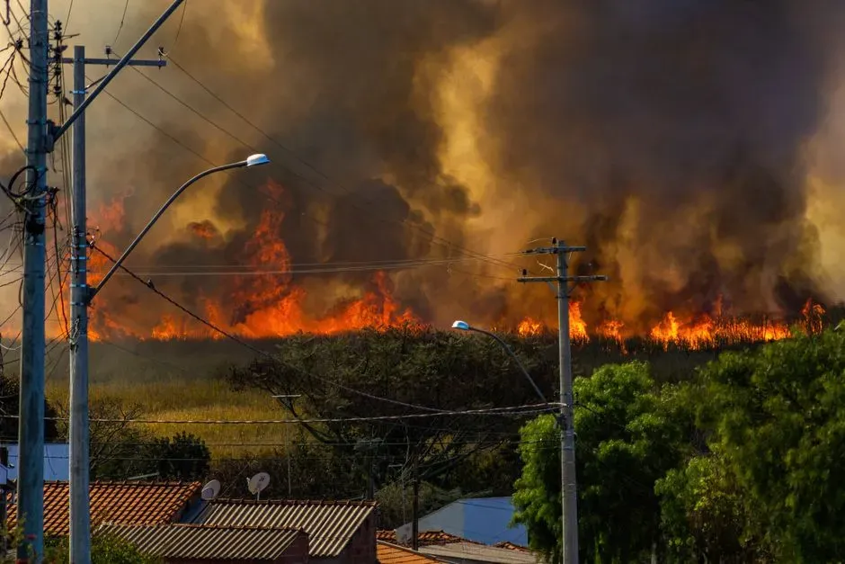
Some 88,000 acres in Ventura County fall into the “very high” fire hazard category, a 54% increase from previous years. Many communities in Ventura County are located where urban neighborhoods meet wildland areas, which raises the risk of wildfires threatening homes and critical infrastructure. The county sits between Los Angeles and Santa Barbara, meaning it’s routinely overlooked in media coverage despite hosting some of California’s most dangerous fire terrain.
The Thomas Fire of 2017, caused by high winds that made power lines contact one another and ignite dry vegetation, burned almost 282,000 acres in the Ventura area, destroying 1,063 buildings and directly causing two deaths. That fire held the record for California’s largest wildfire at the time. Ventura’s position in the Santa Ana wind corridor means ignition events here can go from spark to catastrophe within hours, with little margin for error.
Why Fire Risk Is Spreading Beyond the Expected Map
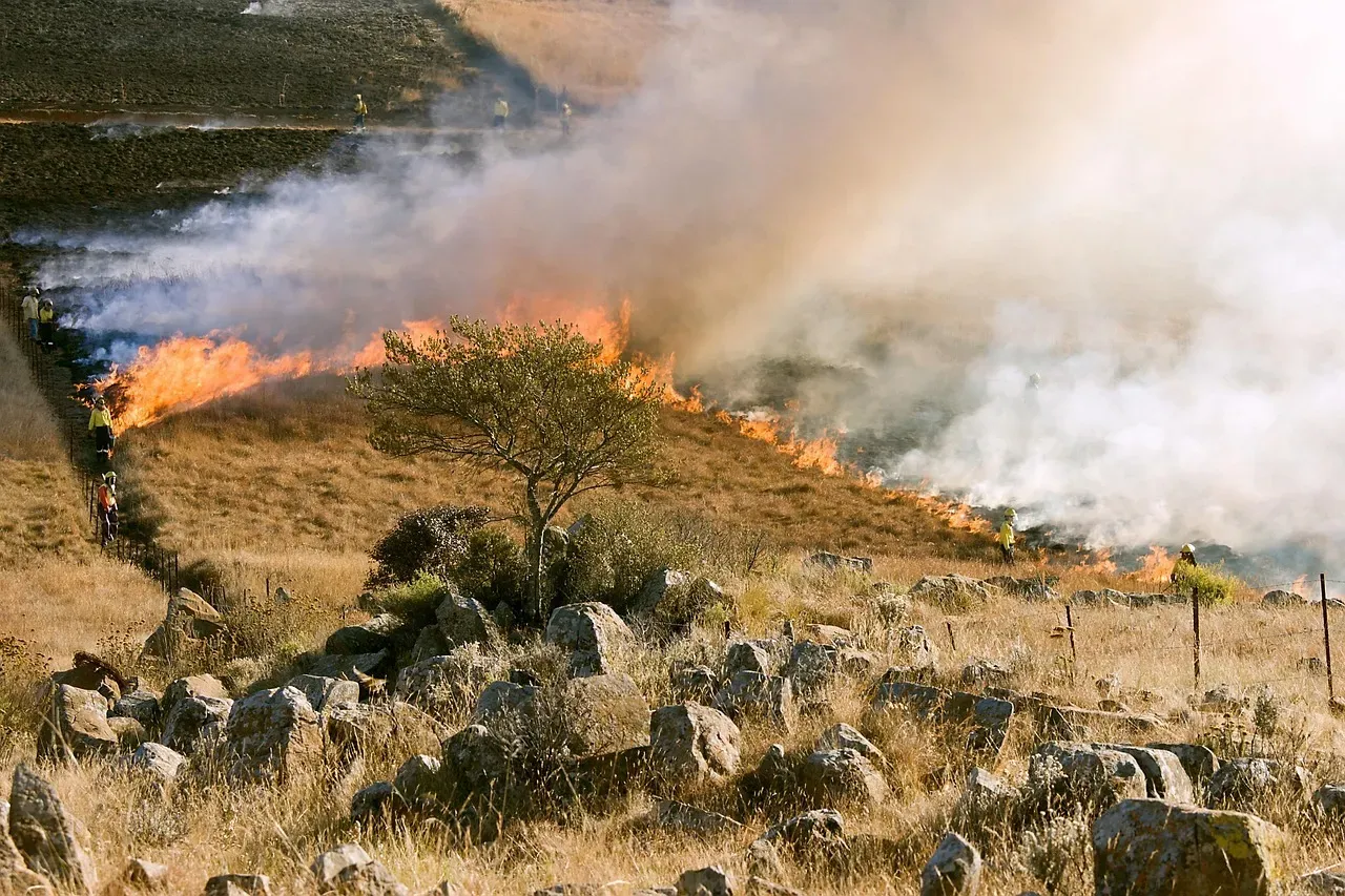
Between 1973 and 2024, the western United States saw an average increase of 37 extra “fire weather” days each year, typically marked by high heat, low humidity, and strong winds. This trend is especially severe in California, where these dangerous conditions now happen more often, turning what was once a seasonal threat into a year-round fire risk. The calendar is shifting in ways that make traditional assumptions about when and where fires occur increasingly unreliable.
Of the ten most expensive wildfires on record, only two occurred before 2017, according to the Insurance Information Institute. Wildfires outside of the traditional fire season are becoming more common due to climate change and changing weather patterns. Rising temperatures are leading to earlier snowmelt and later fall and winter precipitation. Drought and hot, dry weather events are becoming more frequent. The counties listed above aren’t anomalies. They’re early indicators of a risk pattern that is steadily widening across the country.

- The Shoreline Sucked Dry in Seconds – 5 Tsunami Signals Beachgoers Mistake for Low Tide - November 14, 2026
- 9 Dark-Sky Destinations Around the World Where the Stars Look Unreal - November 14, 2026
- The Fault Line That Never Slips – 7 Locked Seismic Zones Overdue for a Massive Release - November 14, 2026
