


- The Planet Where It Rains Liquid Glass – 7 Alien Worlds Defying Known Physics - November 14, 2026
- Stars Consuming Entire Worlds – 6 Planetary Systems Swallowing Their Own Worlds - November 14, 2026
- The Ground Liquefies Like Water – 6 Silent Fault Lines Geologists Watch Closely - November 14, 2026
New York City is one of the most densely built, heavily populated, and economically consequential places on the planet. It is also, quietly and measurably, going down. Not in any dramatic, cinematic sense – no sudden collapse, no Hollywood crack opening in the asphalt – but millimeter by millimeter, year after year, the ground beneath millions of people is giving way. For a long time, the full extent of that sinking was scattered across technical journals and radar datasets that rarely made it onto the evening news. That has started to change.
A cascade of studies from NASA, the U.S. Geological Survey, Virginia Tech, Columbia University, and Rutgers University has painted a picture that urban planners, policymakers, and residents can no longer afford to ignore. About 98% of New York City’s land area is affected by subsidence. That isn’t a rounding error. It means nearly the entire city – all five boroughs, from the towers of Midtown Manhattan to the beach bungalows of the Rockaways – is in motion, trending downward. The forces driving it range from ancient ice sheets to modern skyscrapers, and together they are quietly reshaping New York’s relationship with the sea.
The Numbers Behind the Sinking
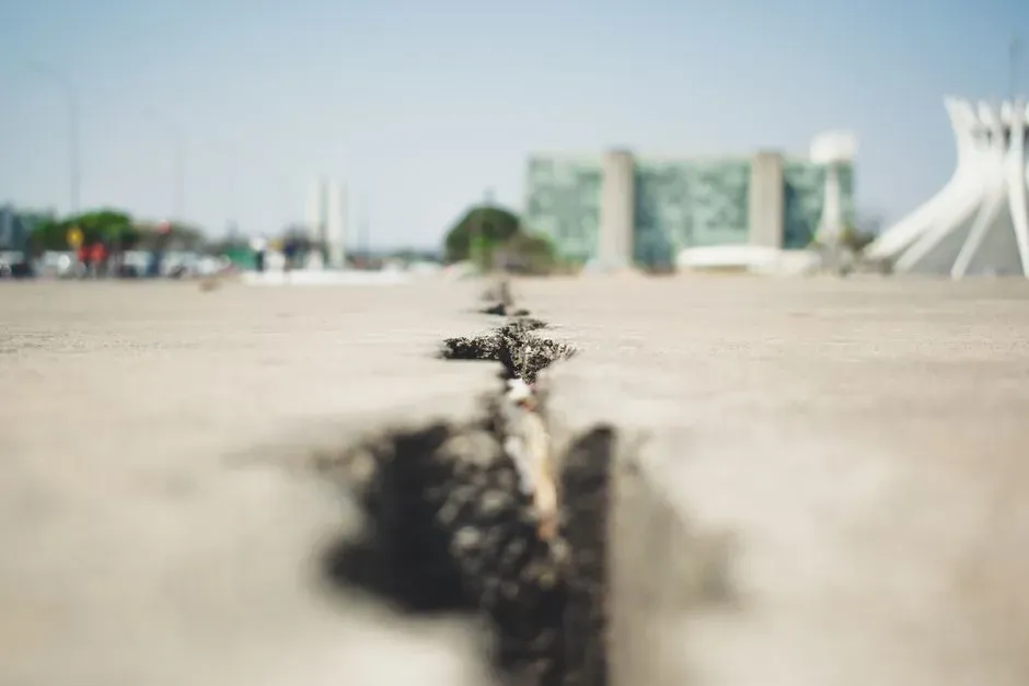
Scientists found that on average the New York metropolitan area subsided by about 0.06 inches, or 1.6 millimeters, per year – about the same amount that a toenail grows in a month. That comparison is reassuring until you sit with it for a moment. A toenail grows about 18 millimeters in a year. Over a decade, the ground in many neighborhoods drops nearly two centimeters. Over a lifetime, the math becomes harder to ignore. The area-weighted average subsidence rate for New York was found to be greater than 2 millimeters per year.
A study published in Science Advances by researchers from NASA’s Jet Propulsion Laboratory and Rutgers University analyzed upward and downward vertical land motion across the metropolitan area from 2016 to 2023 using a remote sensing technique called interferometric synthetic aperture radar, or InSAR. The technique is extraordinarily precise, capable of detecting changes in ground elevation smaller than a grain of sand. What it revealed was not a city slowly resting on bedrock, but a patchwork of uneven descent – some zones moving fast, some slowly, a few rising – with the most alarming spots concentrated in places where millions of people work and travel every day.
The Ice Age Debt New York Is Still Paying
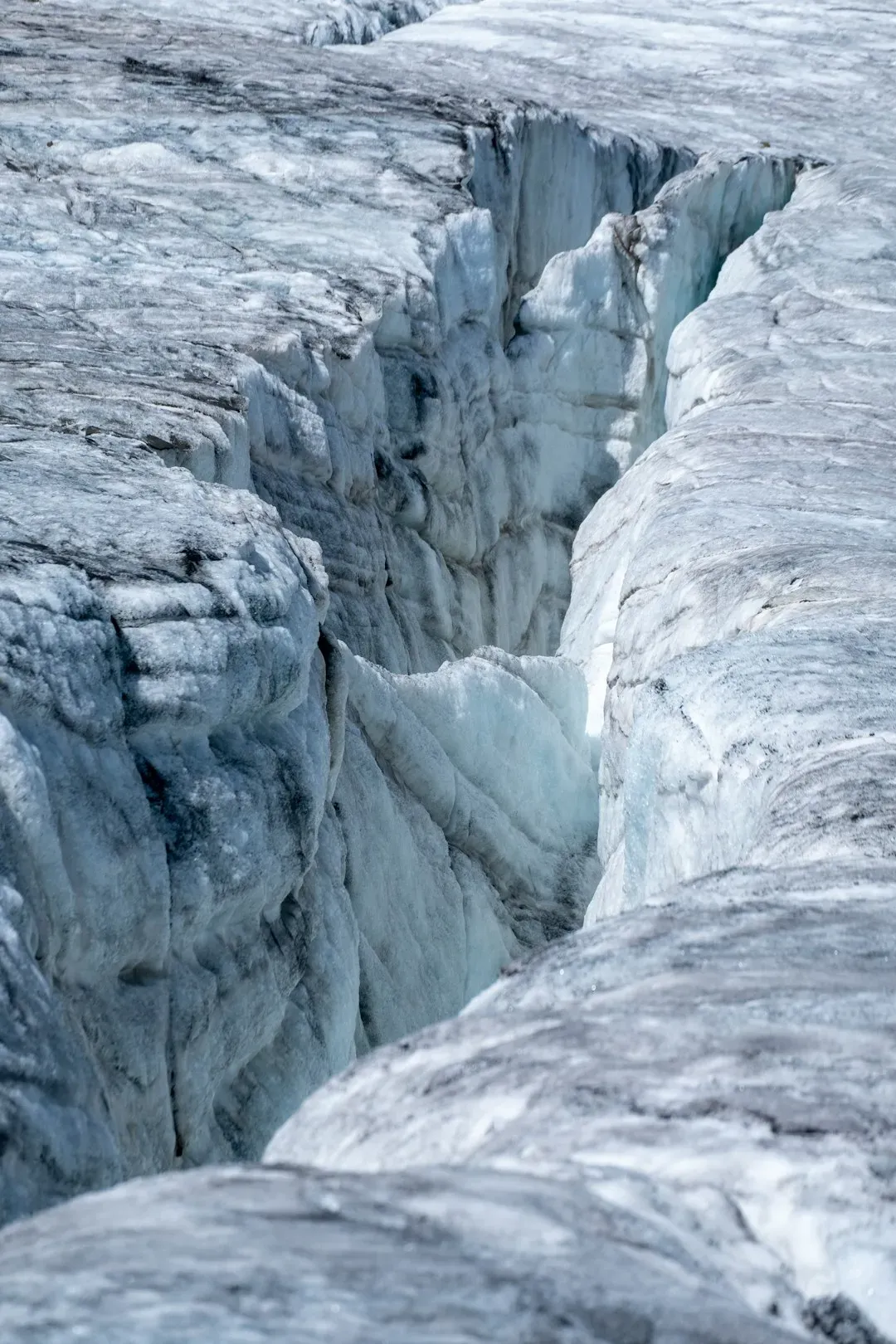
About 24,000 years ago, a wall of ice more than a mile high covered what is today Albany, New York. The Earth’s mantle, somewhat like a flexed mattress, has been slowly readjusting ever since. New York City, which sits on land that was raised just outside the edge of the ice sheet, is now sinking back down. This process has a name – Glacial Isostatic Adjustment, or GIA – and it is essentially a planetary debt coming due with geological patience.
Land subsidence in New York is influenced by GIA, a phenomenon dating to the last ice age. During that period, massive glaciers covered parts of North America including the New York region. The immense weight of those glaciers caused the Earth’s crust to deform and sink slowly over time. As the glaciers receded and melted, the land rebounded, but this process is still ongoing and occurs much more slowly than the initial deformation. In other words, NYC is still catching up to the retreat of ice that vanished thousands of years ago. There is no engineering fix for that.
The Weight of a City Pressing Down on Itself
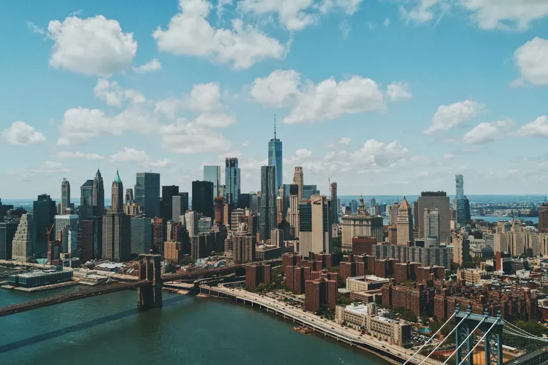
New York City’s 1,084,954 buildings have a combined mass of 760 billion kilograms – roughly 1.68 trillion pounds – distributed over an area of 778.2 square kilometers. That number, calculated by USGS geophysicist Tom Parsons and colleagues at the University of Rhode Island, is staggering by any measure. The researchers fed that load into a complex finite element model to understand exactly how the ground is responding. Their conclusion was that, depending on the underlying types of soil and foundation modes, the buildings have the potential to cause sinking of as much as 600 millimeters.
In some neighborhoods, such as midtown Manhattan, bedrock lies close to the surface and there is relatively little soil to compress, making those areas less susceptible to weight-induced subsidence. In other areas, such as along the southern coast of Brooklyn, the city has artificially expanded its footprint using fill. Fill – essentially rubble, excavated dirt, and debris dumped into water to create new land – is among the most compressible materials a city can build on. It compacts easily, unevenly, and over a very long time. Areas in Lower and Midtown Manhattan and parts of Brooklyn and Queens show some of the greatest calculated subsidence, caused by combined pressure on silty clay and fill soil from dense high-rise construction.
Hotspots: Where the Ground Is Falling Fastest

The research team identified two notable hotspots of subsidence co-located with landfills in Queens. One, runway 13/31 at LaGuardia Airport, is subsiding at a rate of about 0.15 inches, or 3.7 millimeters, per year. That is more than twice the city average, and particularly unsettling given the context. The airport is undergoing an $8 billion renovation designed in part to alleviate flooding from the rising waters of the Atlantic Ocean. Engineers are essentially racing to raise flood defenses on ground that keeps moving lower.
Arthur Ashe Stadium is sinking at a rate of about 0.18 inches, or 4.6 millimeters, per year, and required construction of a lightweight roof during renovation to reduce its heaviness and amount of subsidence. That design choice – building lighter specifically because the ground cannot bear more weight – is a telling signal of what engineers already knew. Other subsidence hotspots include the southern portion of Governors Island, built on 3.5 million cubic meters of rocks and dirt from early 20th-century subway excavations, as well as sites near the ocean in Brooklyn’s Coney Island and Arverne by the Sea in Queens, both built on artificial fill.
Groundwater: The Hidden Pump That Drains the Ground
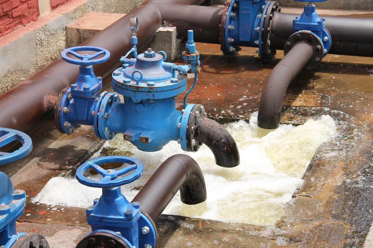
Groundwater extraction ranks as a primary driver in New York’s sinking story. When water gets pumped from underground aquifers, the soil above compacts like a sponge drying out. Historical pumping for water supply and industrial uses has left voids that slowly collapse under pressure. This is not unique to New York – it is the dominant cause of subsidence in cities across the United States – but NYC’s dense, layered geology makes it especially sensitive to those withdrawals.
While natural processes like Glacial Isostatic Adjustment are a dominant factor in New York’s sinking, human activities – primarily groundwater withdrawal – are responsible for most of the subsidence observed nationally. In New York, the data showed a higher sensitivity to groundwater-level changes. The more intense the groundwater use in a region, the more likely the chance of significant subsidence exceeding 1 millimeter. In short, every time someone taps an aquifer beneath the city, the earth above it becomes just a little more hollow.
Sea Level Rise Is Amplifying Everything
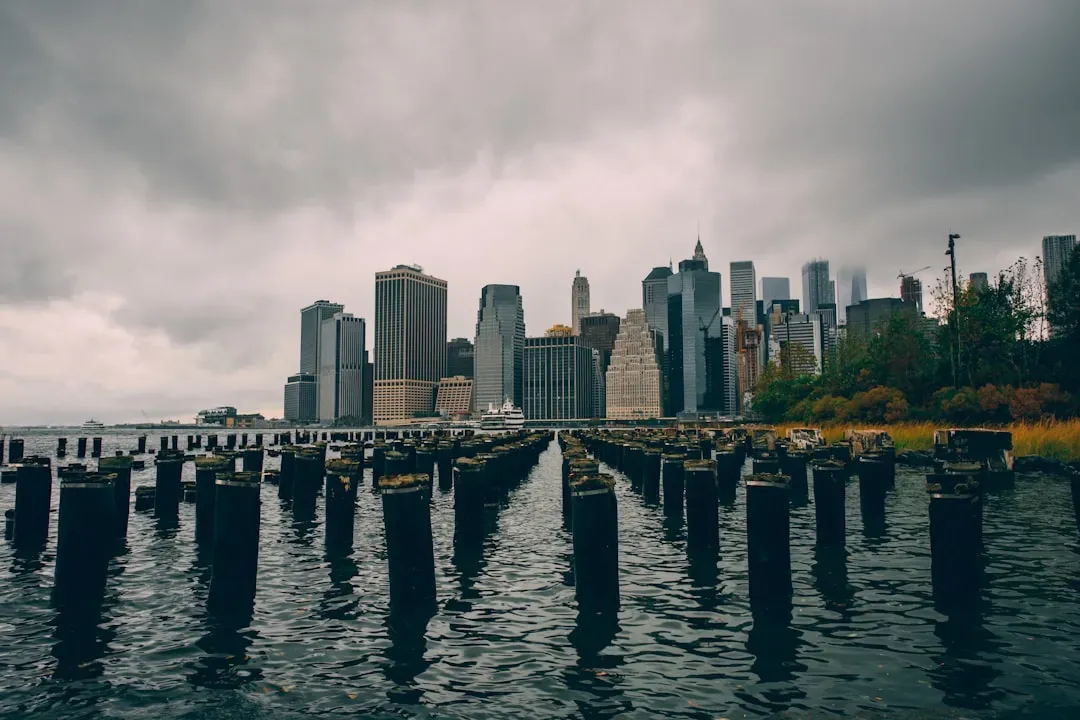
During the 20th century, relative sea level at the Battery tide gauge in Manhattan increased at a rate of about 3.1 millimeters per year. From 2000 to 2022, that rate increased to 4.4 millimeters per year. When you combine rising seas with sinking land, the effective rate of inundation that coastal New Yorkers face is significantly worse than the headline ocean figures suggest. The ocean is coming up, and the city is going down – both at the same time.
The issue is troubling because when combined with sea levels that are rising more than twice as fast as the global rate, and a vulnerability to stronger storms brought on by climate change, the risk of flooding and damage continues to grow. This sinking trend, coupled with the intensification of hurricanes due to climate change, could result in significant flooding events being up to four times more frequent by the end of the century. That projection – flooding events four times more frequent – should be read not as a worst-case hypothetical but as a trajectory shaped by forces already in motion.
Infrastructure on the Move – and at Risk
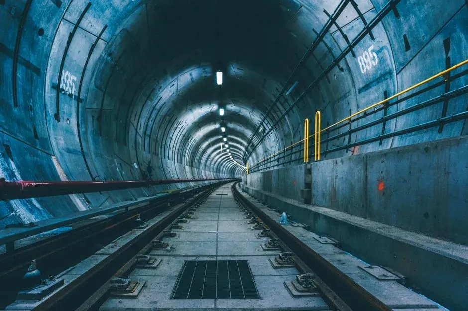
Particularly hard-hit population centers such as New York City and Long Island are seeing areas of rapid subsidence alongside more slowly sinking or relatively stable ground, increasing the risk to roadways, runways, building foundations, rail lines, and pipelines. The danger of uneven subsidence is that it creates differential stress – one end of a subway tunnel dropping faster than the other, pipes bending under the strain, foundations tilting. The uneven sinking creates particular problems for long structures like subway tunnels and water mains that need consistent support along their entire length. As one section drops faster than another, pipes can crack and tracks can warp, requiring constant maintenance.
Researchers measured subsidence rates of 2 millimeters per year affecting more than 2 million people and 800,000 properties on the East Coast. Those are not abstract numbers – they represent homes, hospitals, schools, and power stations sitting on ground that is measurably lower than it was a decade ago. New York City is ranked third in the world in terms of future exposed assets to coastal flooding, and roughly 90% of the 67,400 structures in the expanded post-Hurricane Sandy flood risk areas have not been built to floodplain standards.
The Broader Picture: NYC Is Not Alone, but It Is Exposed

A study published in Nature Cities in May 2025 showed that subsidence is a widespread hazard threatening dozens of major U.S. cities. Using satellite data from 2015 to 2021, a team led by researchers from Columbia University and Virginia Tech created high-resolution maps of sinking land for the 28 most populous metropolises in the country, finding that in every city studied, at least 20% of the urban area is sinking. New York sits near the top of that list by scale of exposure if not always by rate. Researchers say NYC joins cities like Houston, Chicago, and Los Angeles in facing this slow-burning urban hazard, with more than 29,000 buildings nationally sitting in areas at high or very high risk of subsidence damage.
While some subsidence is natural, driven by glacial and tectonic shifts, a large portion is driven by human behavior, especially groundwater extraction. Better water management, reinforced infrastructure, and strategic urban planning can help mitigate damage. Other cities, like San Diego and Memphis, have shown that proactive aquifer policies and better land-use planning can prevent the worst outcomes. The tools exist. The data exists. What remains is a question of whether cities – and the governments that run them – are willing to treat a slow-motion crisis with the same urgency as a fast one.
What Comes Next for New York
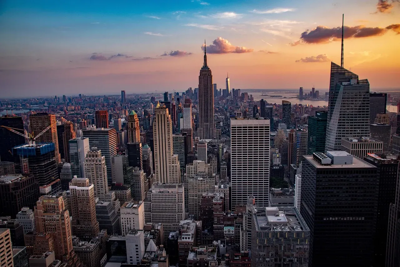
The science on New York’s subsidence has moved quickly in recent years, propelled by satellite technology that was simply not available a generation ago. Satellites orbiting Earth beam radar signals down to the city and measure how long they take to bounce back. When researchers compare these measurements over months and years, they can create detailed maps showing which areas are sinking fastest, revealing a patchwork of stability and subsidence across all five boroughs. That level of detail is now being used to inform infrastructure decisions and, slowly, to work its way into building codes and zoning policy.
Lead researcher Leonard Ohenhen of Virginia Tech warned that “continuous unmitigated subsidence on the U.S. East Coast should cause concern,” particularly in areas with high population and property density and a historical complacency toward infrastructure maintenance. That phrase – historical complacency – is probably the most important one in the entire debate. New York has always built forward, upward, outward. The ground beneath the city has, until recently, been treated as a given. It isn’t. It is a geological system responding to centuries of human decisions, still adjusting to a glacial retreat that ended 20,000 years ago, and growing more vulnerable every year that sea levels climb. The city is not about to fall into the ocean tomorrow. But the gap between where it stands today and where the water will be in fifty years is narrowing faster than most residents know.
