
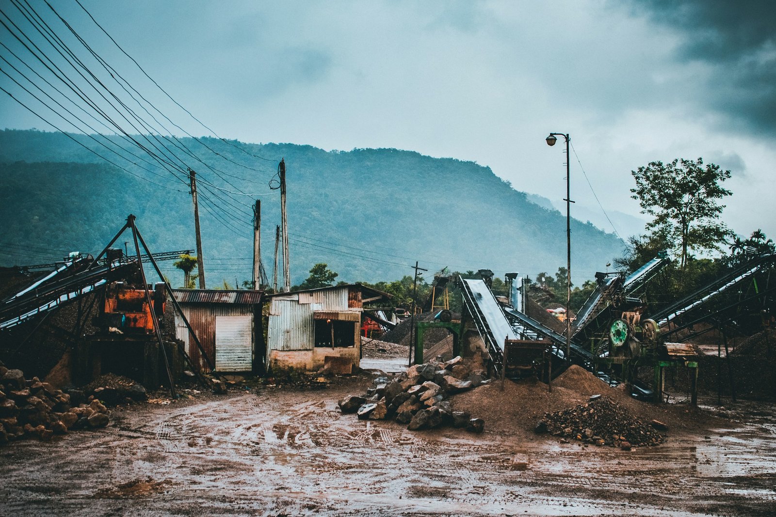
Most people picture a flood as slow, a rising bathtub that gives you time to think. A flash flood doesn’t work that way. The National Weather Service generally describes one as rapid flooding that develops within about six hours of heavy rain, and in steep country it can happen far faster.
Behind that speed sits some surprisingly plain physics. Weight, velocity, pressure and geography combine in ways that overwhelm people who assumed they could simply wade or drive through. Here are eight of the forces at work.
Water Is Far Heavier Than It Looks

A cubic meter of water has a mass of about one metric ton. Even a modest volume moving across a road carries a surprising amount of mass. Your body is never pushing against something light.
That mass is why a shallow current feels nothing like a breeze. Once water starts moving, it carries momentum that is hard to stop with muscle alone. The danger is easy to underestimate because the surface can look calm.
Speed Matters More Than Depth
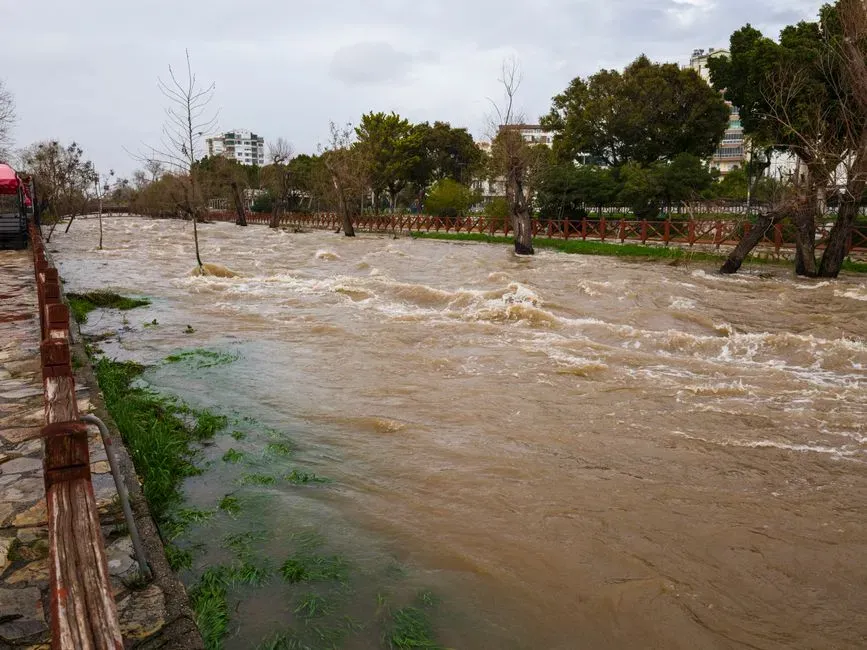
The push of flowing water on an object rises with the square of its velocity. Doubling the speed of a current roughly quadruples the force it exerts. A stream that looks only a little faster can be dramatically more dangerous.
This is why a shallow rush can topple someone while deeper, slow water does not. Flash floods are often fast as well as deep, which stacks both effects. Depth is easy to judge by eye, but speed is not.
Six Inches, Twelve Inches, Two Feet
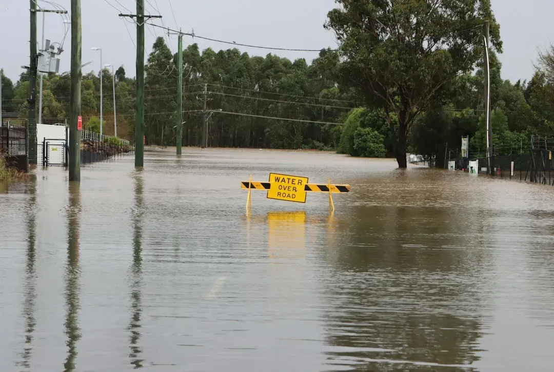
The National Weather Service uses three simple thresholds in its Turn Around Don’t Drown campaign. About six inches of moving water can knock an adult off their feet. About twelve inches can float many cars, and roughly two feet can carry away larger vehicles, including SUVs and trucks.
Those numbers come from buoyancy and drag working together. A vehicle displaces water, which lifts it, and once the tires lose grip the current takes over. The figures are guidance, not guarantees, so conditions can be worse than they suggest.
Ground That Cannot Absorb Another Drop
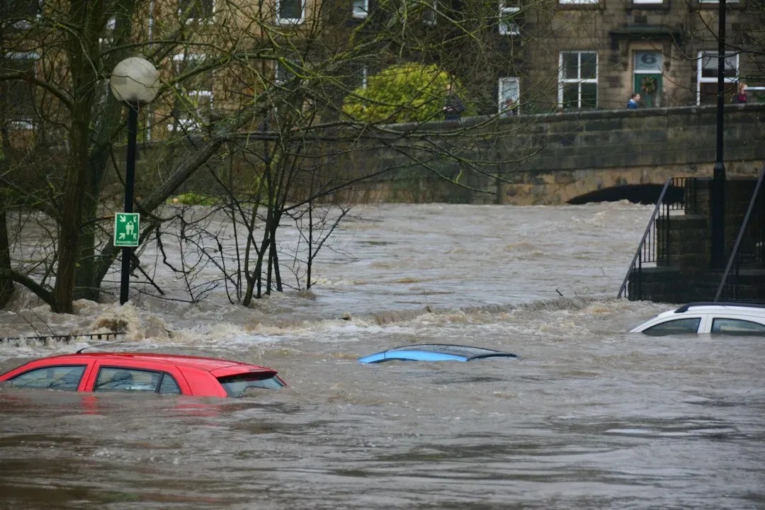
Rain only becomes a flash flood when it can’t soak in. Saturated soil, paved surfaces and rooftops send most of a downpour straight into channels. Cities are especially quick to turn rainfall into runoff.
Wildfire scars create a similar problem. Burned ground can develop a water repellent layer, so rain that would normally be absorbed rushes downhill instead. Areas below recent burns can flood from storms that would otherwise be unremarkable.
Terrain That Funnels the Water
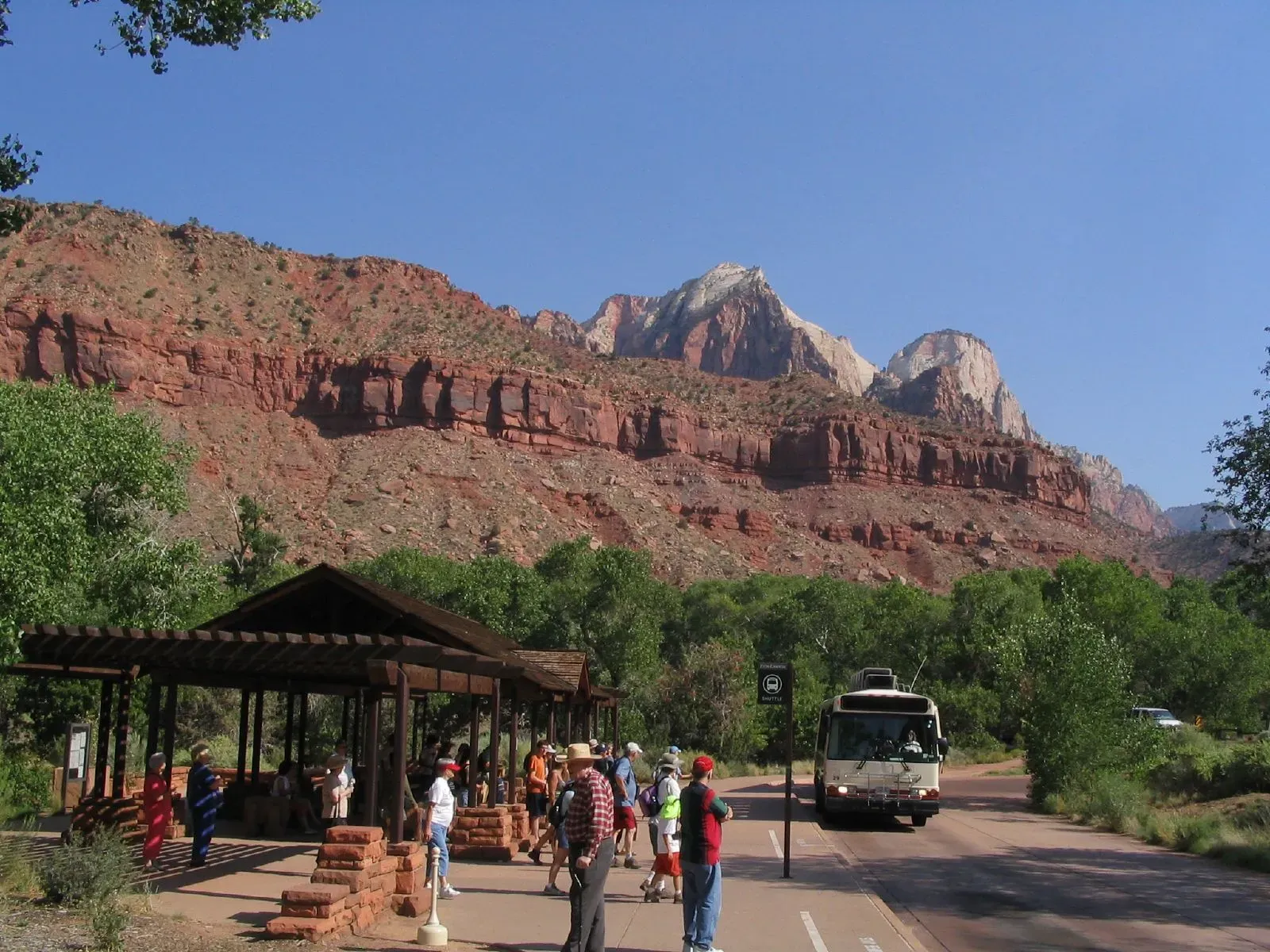
Steep valleys and narrow canyons collect rain from a wide area and squeeze it into one channel. Rain falling miles upstream can reach a campsite or road within an hour or two, sometimes while the sky overhead is clear. People can be caught by a flood from a storm they never saw.
The July 2025 floods along the Guadalupe River in Texas Hill Country showed how brutal this can be. Reports from the event described the river rising many feet within a short time, and the death toll in central Texas ran well past one hundred. The hilly, thin soiled landscape there is known for fast runoff.
A Warmer Atmosphere Holds More Rain

Warm air can hold more water vapor, by about seven percent for each degree Celsius of warming. That extra moisture is available to fall when storms form. It is one reason scientists expect the heaviest downpours to intensify as the climate warms.
Spain gave a stark example in late October 2024, when a storm system hit the Valencia region. More than two hundred people died, and some towns received roughly a year’s worth of rain in about eight hours. Storms of that scale compress a season of water into a single afternoon.
Debris Turns Water Into a Battering Ram
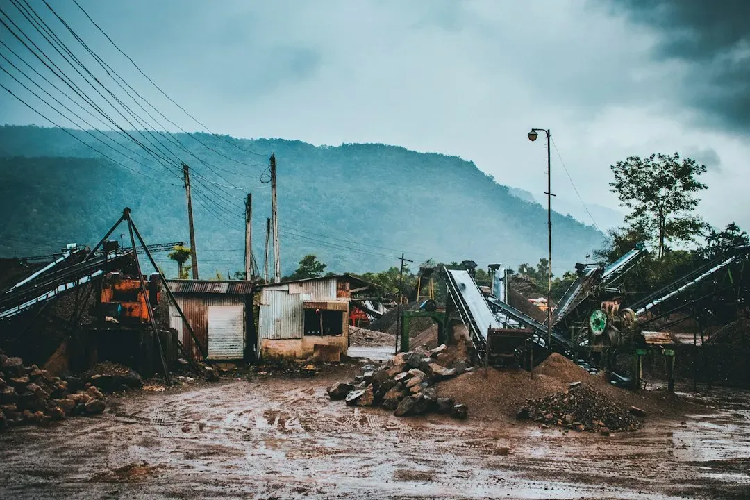
Floodwater is rarely just water. It carries mud, rocks, tree trunks, fencing and cars, which raise its density and its destructive power. Moving debris can strike with enough force to break walls and crush vehicles.
Debris can also jam against bridges and culverts, building a temporary dam. When it gives way, a surge of stored water is released all at once. That sudden wall of flow is what many survivors describe, and it leaves little time to react.
Cars and Darkness Make It Worse
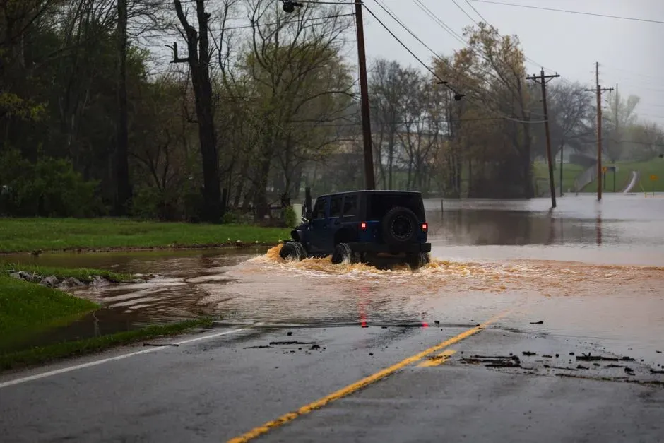
Vehicles are involved in a large share of flood deaths, with estimates often placing it near half. Drivers misjudge depth, since a flooded road hides washed out pavement beneath the surface. Once water presses against the doors, the pressure difference can make them very hard to open.
Night adds another layer of risk. People are asleep, alerts get missed, and no one can see the water coming. The safest rule from forecasters remains simple: if a road is covered, find another route, and move to higher ground when warnings are issued.

- I Asked AI and a Waste Auditor How to Cut My Household Trash – Where They Disagreed - November 12, 2026
- Einstein’s equations suggest gravity can reconnect like the sun’s magnetic field - November 12, 2026
- This Map Shows Which States Get the Most Severe Storms Each Year – And It’s Not What You’d Expect - November 12, 2026
