

- Record planetary extremes loom as the world’s largest climate summit begins - November 12, 2026
- Will travel insurance cover weather-related flight delays and cancellations? - November 11, 2026
- 8 Cities Where the Weather Changes So Fast Locals Carry Everything - November 11, 2026
On a warm afternoon, a puffy white cloud can look harmless. Within an hour, that same cloud may grow into a tower reaching more than ten kilometers into the sky. Thunderstorms are among the most common weather events on Earth, yet each one follows a surprisingly orderly path from birth to decay.
Meteorologists have studied this path for decades. The classic model comes from the Thunderstorm Project, a field study carried out in the United States in the 1940s, and it still shapes how forecasters and teachers describe storms today. Here is how a thunderstorm grows, matures, and fades, and why some of them turn severe.
The Ingredients Every Storm Needs
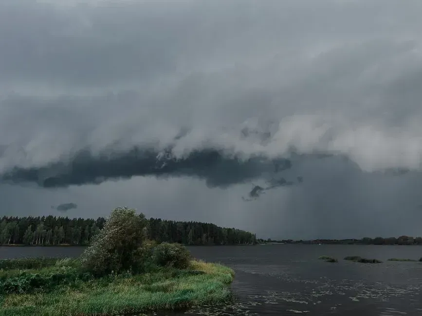
The National Weather Service says thunderstorms need three basic ingredients: moisture, unstable air, and a lifting mechanism. Moisture supplies the water vapor that condenses into cloud. Unstable air means a rising bubble of warm air keeps getting warmer than its surroundings as it climbs, so it keeps accelerating upward.
Lift is what gets things started. It can come from the sun heating the ground, a cold front pushing under warm air, a sea breeze, or air being forced up a mountainside. Without that trigger, even a very humid and unstable atmosphere can stay quiet all day.
Cumulus Stage: The Towering Beginning

The first visible sign is a cumulus cloud, formed when rising air cools and its water vapor condenses. This is often called the developing stage. During it, the cloud is dominated by an updraft, with air flowing upward through most of its depth.
Many cumulus clouds never go further. They stay shallow because the air above them is dry or stable, and they fade away. Those that keep growing become towering cumulus, and the release of heat during condensation gives them extra buoyancy to climb.
Mature Stage: Where the Storm Peaks
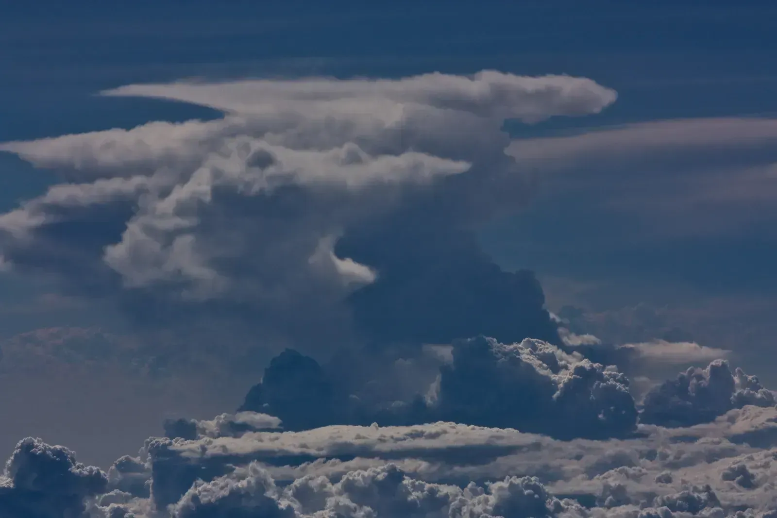
The mature stage is when a thunderstorm is most intense. Rain and ice particles inside the cloud grow heavy enough to fall, dragging air downward and creating a downdraft beside the updraft. For a time, both exist together, and this is when heavy rain, lightning, gusty winds, and sometimes hail occur.
The top of the cloud often hits the base of the stratosphere and spreads out sideways. That creates the flat, anvil-shaped top familiar from storm photos. Cloud-top height varies with latitude and season, but strong storms in the tropics and midlatitudes can reach well beyond ten kilometers.
Dissipating Stage: Rain-Cooled Air Takes Over
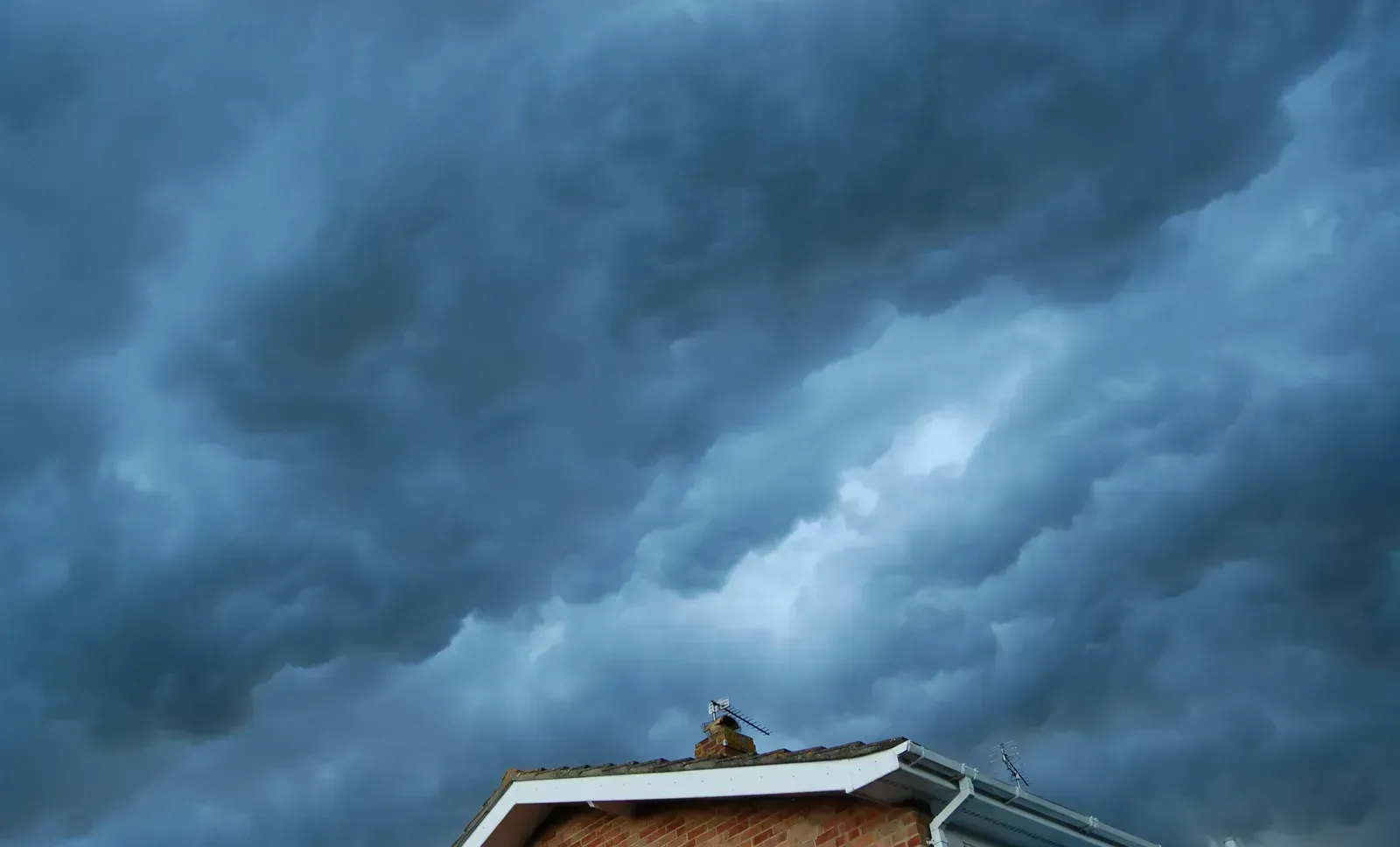
Eventually the downdraft wins. Rain-cooled air spreads out near the ground and cuts off the warm, humid inflow that fed the storm. With the updraft starved, the cloud loses its engine.
Rain weakens and the cloud slowly breaks apart, sometimes leaving the anvil behind for a while. An ordinary single-cell storm often runs through its whole cycle in roughly 30 minutes to an hour, though it can leave outflow that triggers new storms nearby.
Why Lightning and Thunder Happen
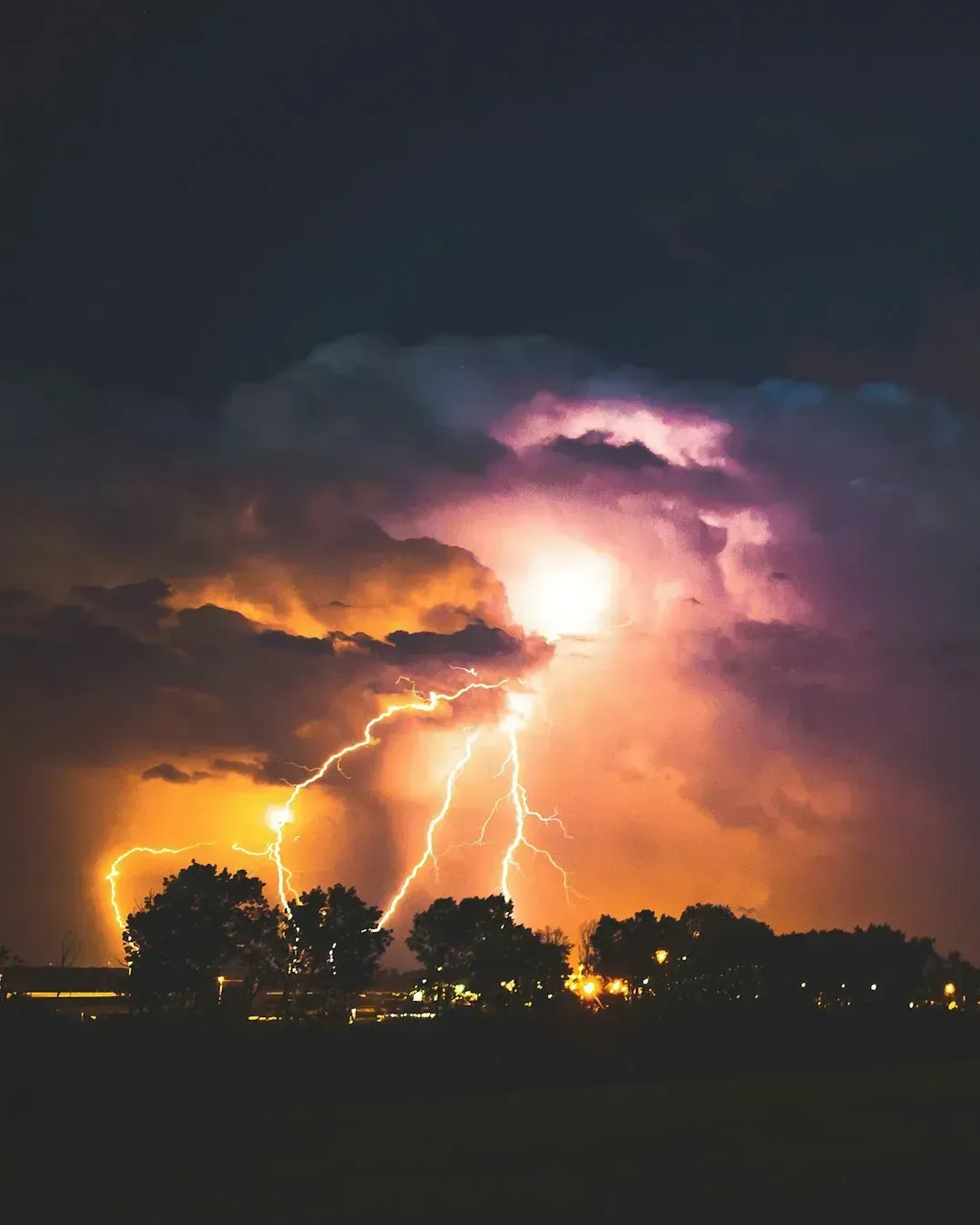
Inside a mature storm, collisions between ice crystals, graupel, and supercooled droplets separate electric charge. Lower parts of the cloud typically gather negative charge, while upper parts hold positive charge. When the electric field becomes strong enough, a lightning discharge neutralizes some of that imbalance.
Thunder is the sound of that discharge. Lightning heats the air around its channel extremely quickly, and the air expands explosively, sending out a shock wave. The NWS advises that when you can hear thunder, you are close enough to be struck, which is the basis of its “When thunder roars, go indoors” message.
Multicell Storms and Squall Lines
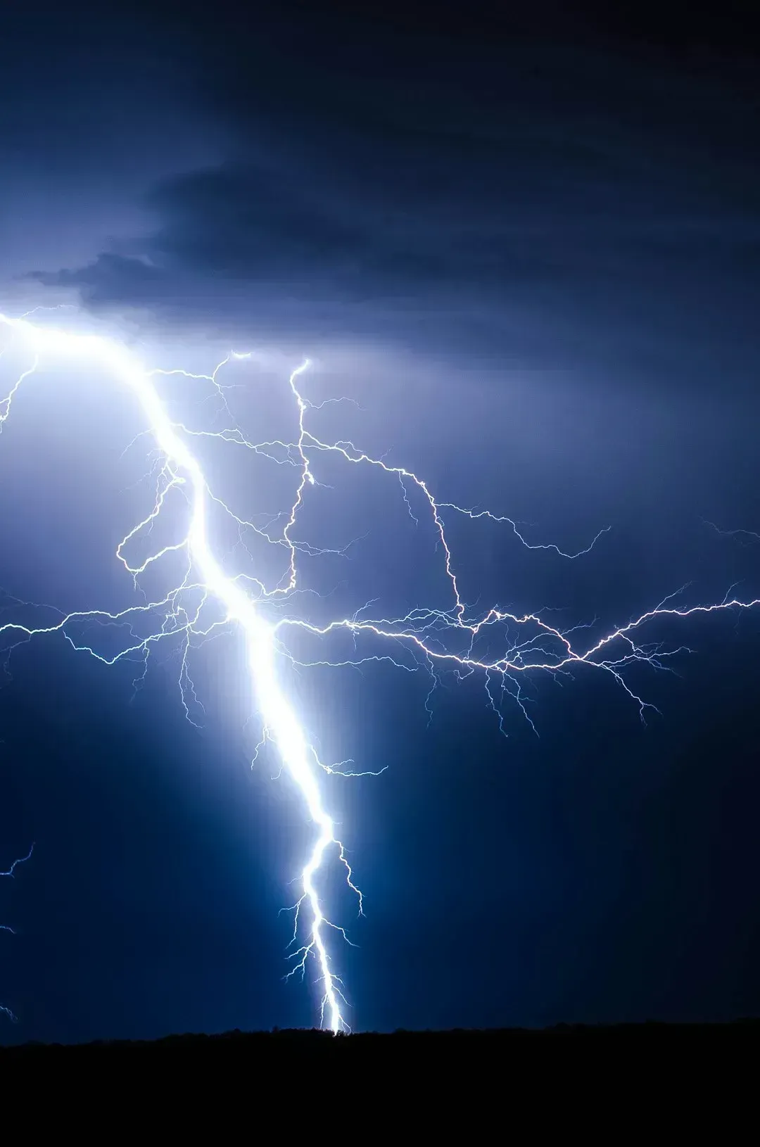
Real storms are rarely alone. In a multicell cluster, outflow from older cells lifts air to trigger new ones, so the system as a whole can last for hours even though each individual cell is short-lived. Lines of storms, known as squall lines, can form along fronts and bring widespread wind damage.
This cycle of renewal explains why a storm can seem to sit over one town for an evening. It is often a chain of cells passing through one after another rather than a single cloud that refuses to leave.
Supercells: When a Storm Turns Severe
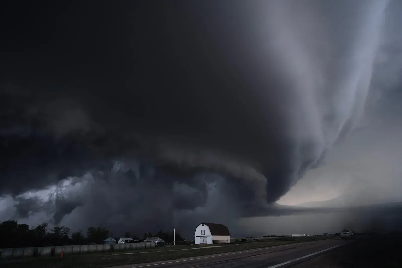
Severe thunderstorms are defined in the United States as producing hail at least one inch in diameter, winds of at least 58 mph, or a tornado. The most dangerous kind is the supercell, which contains a persistent rotating updraft called a mesocyclone. Wind shear, meaning winds that change speed or direction with height, is the key ingredient that lets that rotation develop.
Because the updraft and downdraft are tilted apart in a sheared environment, they don’t choke each other off. That lets a supercell survive for hours and produce large hail, damaging winds, and sometimes tornadoes. Not every supercell makes a tornado, and forecasters still work to understand exactly why some do.
Forecasting and Staying Safe

Modern forecasting relies on weather radar, satellites, lightning detection, and computer models. In the United States, the Storm Prediction Center issues convective outlooks, and local NWS offices issue watches and warnings. A watch means conditions favor severe storms, while a warning means one is occurring or imminent.
For safety, the guidance is simple. Move indoors to a sturdy building or a hard-topped vehicle at the first thunder, and wait about 30 minutes after the last rumble before heading back out. Having a way to receive warnings, such as a weather radio or phone alerts, matters because storms can change quickly.
Conclusion
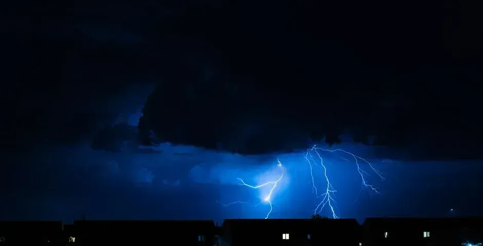
A thunderstorm’s story runs from a modest cumulus cloud to a mature, electrified giant and then to a fading shower. Moisture, instability, and lift start the process, while wind shear helps decide whether the storm stays ordinary or becomes severe.
Next time a cloud towers over the horizon, you’ll know you’re watching a rapid, organized engine of the atmosphere at work, and that its growth is also your cue to check the forecast.
