


- 10 Home Upgrades That Can Lower Summer Cooling Costs - November 10, 2026
- 10 Questions to Ask Before Buying a Home in a Flood Zone - November 10, 2026
- 9 Coffee-Growing Regions Reporting Lower Yields as Temperatures Rise - November 10, 2026
The basic recipe behind the phenomenon
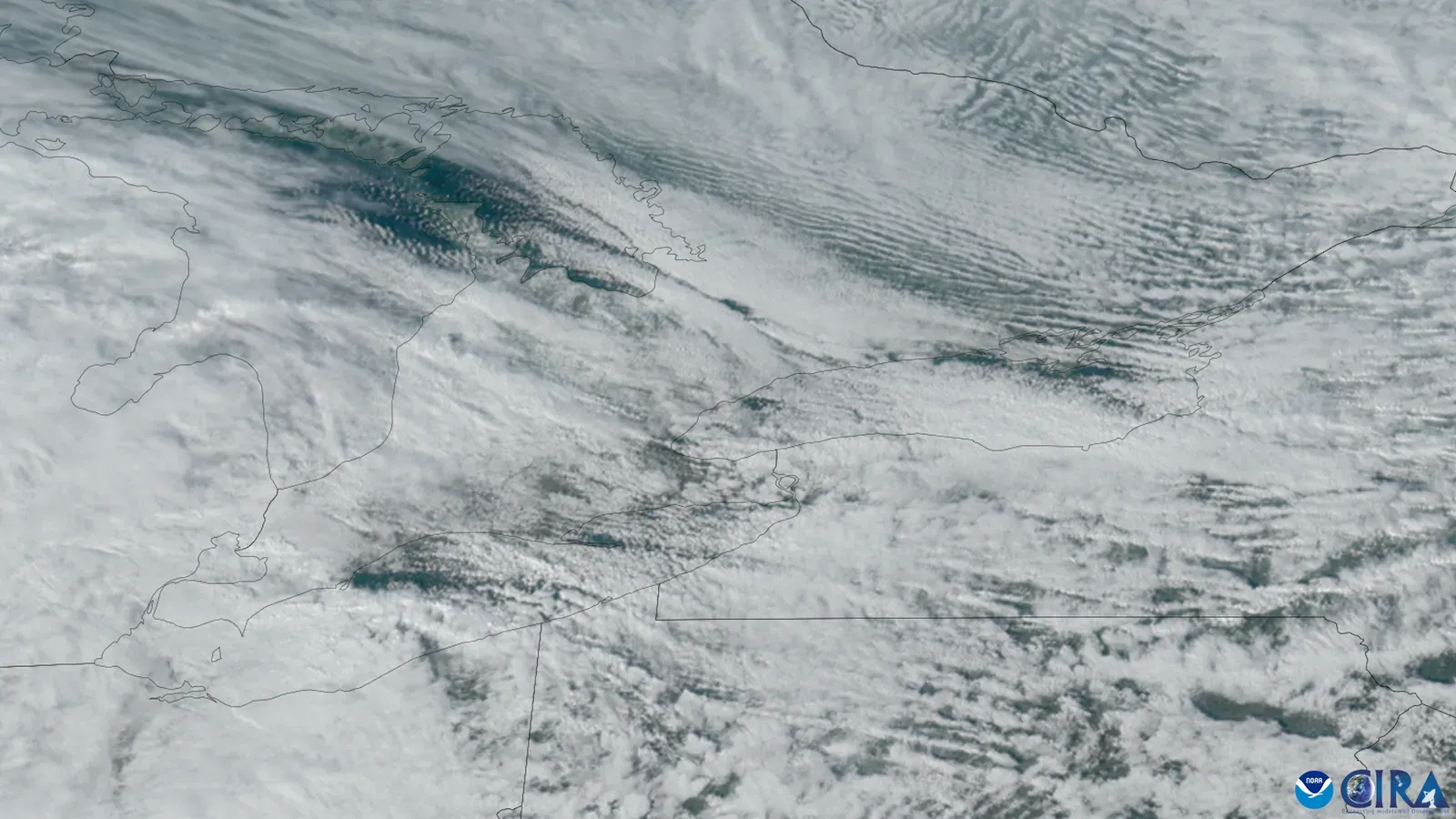
At its core, lake-effect snow comes down to a simple contrast. Lake effect snow forms when cold air passes over the warmer waters of a lake, and water holds on to heat more than air, so below-freezing air often passes over much warmer water. That temperature gap is the engine driving everything else that happens downwind.
This causes some lake water to evaporate into the air and warm it. Once that warmed, moisture-loaded air starts moving over land, the setup for heavy snowfall is already in motion, even though the sky above the lake itself might look unremarkable.
Why the lakes stay warmer than the air above them
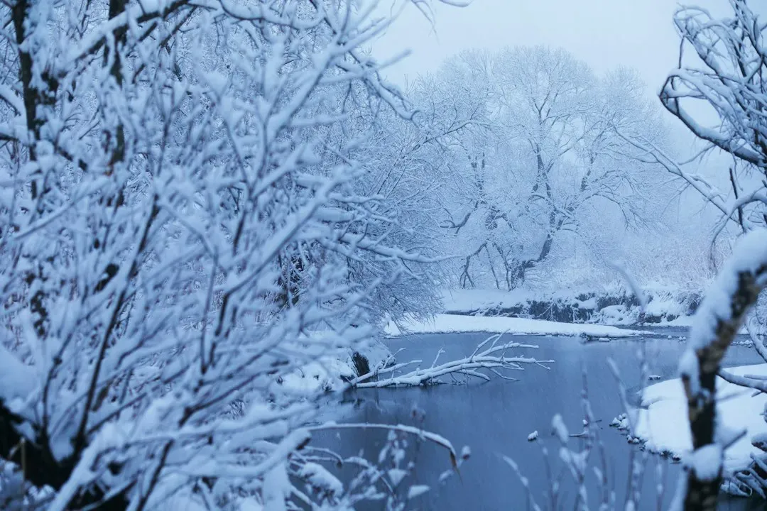
Water doesn’t cool off nearly as fast as land or air once autumn arrives. In the simplest form, warm lake waters plus cold air aloft equals snowfall, though “warm” doesn’t mean the lake is fit for swimming. The water is just mild enough to create the temperature contrast needed with the colder air above in order to form clouds, then snowflakes.
This lag between air and water temperatures is exactly why lake-effect snow is a late-fall and early-winter specialty. Maximum heat and moisture exchanges occur when the air is cold and the temperature difference between the air and the water is large, and this condition tends to occur during early winter, which is when the most lake-effect snow is produced.
What happens the moment cold air meets open water
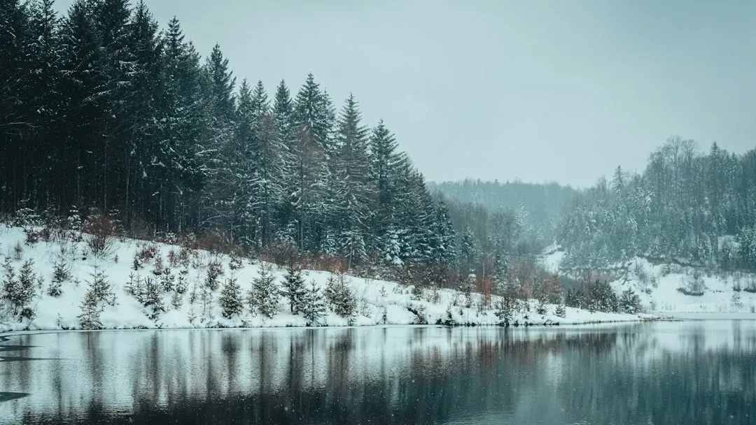
As a frigid air mass slides across an unfrozen lake, the lowest layers of that air get warmed and humidified almost immediately. As cold air moves over water, the lower layers are warmed and moistened by the lake below, which makes the air mass unstable, and evaporation increases the moisture content of the air mass, which is then precipitated in the form of snow on the land downwind.
There’s also a visible clue that this process is underway, especially on brutally cold mornings. Fog results from the intense evaporation or transfer of moisture from the warm water to much colder air when the cold air initially makes contact with warm water. That steam rising off the lake surface is essentially the first stage of a lake-effect snow event, caught in the act.
The role of instability and rising air

Warm, moist air near the surface doesn’t just sit there. It wants to rise, and that rising motion is what actually builds the clouds capable of producing snow. Warm lakes provide heat and moisture to the overlying cold air, and as the air warms from below, it becomes less dense and rises, which is a key ingredient for cloud and snow formation.
The longer that unstable air stays in contact with open water, the more fuel it picks up. Warm lake water evaporates, adding water vapor into the lowest layers of the atmosphere, and the rate of evaporation depends on the wind speed over the water, the temperature contrast, and how long the air parcel stays over the lake. Meteorologists have a specific term for this travel distance, and it turns out to be one of the most important variables in the whole process.
Why “fetch” determines how much snow falls
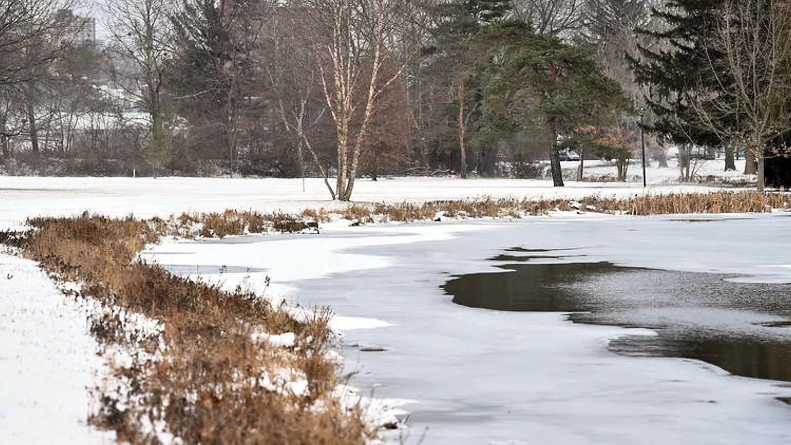
Fetch sounds like a minor detail, but it often decides whether a storm produces a dusting or several feet of snow. Fetch is the distance that wind travels over the water, and a longer fetch generally means more moisture and heat get transferred into the air.
This is why wind direction matters so much for each individual lake. Winds out of the northwest, over Lake Superior, can produce very long fetches reaching into northern Lower Michigan and Ontario. A shift in wind direction of just a few degrees can move an entire snow band from one county to the next, which is part of why lake-effect forecasts are notoriously tricky to pin down precisely.
How the shape and orientation of each lake matters
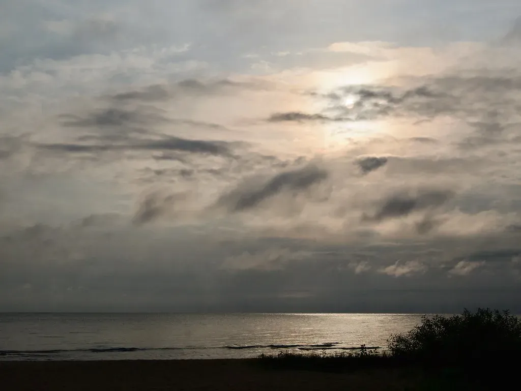
Not every lake produces the same style of storm, largely because of geography. When these cold winds flow across the short axis of a given lake, such as west to east across Lake Michigan, multiple bands of lake effect are predominant.
Lake Ontario tends to behave a bit differently because of its shape and depth. Lake Ontario’s depth allows it to be largely unfrozen even in the middle of winter, keeping it open to generating lake-effect snow, and single bands of heavy lake-effect snow also form more often off this Great Lake due to its west-to-east orientation. That single, concentrated band is exactly why places downwind of Ontario have produced some of the most extreme snowfall totals in the country.
Terrain gives the snow an extra push
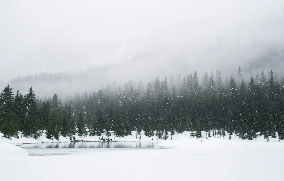
Flat ground alone can produce lake-effect snow, but hills and elevated terrain tend to supercharge it. Hills and high lands on downwind lake shores force air upward, and the air cools further, encouraging cloud formation and greater snowfall.
One region illustrates this better than almost anywhere else in the country. The Tug Hill Plateau east of Lake Ontario routinely receives some of the greatest lake-effect accumulations in the U.S., due in large part to orographic enhancement. Combine a long fetch off Ontario with that sudden rise in elevation, and you get a snowbelt capable of numbers that sound almost implausible to anyone who hasn’t seen them firsthand.
Ice cover eventually shuts the machine down

Lake-effect snow doesn’t run all winter long, mainly because the lakes themselves start freezing. Once a lake freezes over partially or completely, it loses the capacity to transfer heat and moisture into the air.
That’s why forecasters pay close attention to ice formation each season. Forecasts of ice cover evolution on are therefore integral to seasonal lake-effect snowfall predictions. Lakes Superior, Michigan, and Huron are large and deep enough that they resist freezing completely, which is part of the reason snowbelts downwind of them can keep receiving snow well into the heart of winter. Due to their large area and depth, the surface waters of Lake Superior, Lake Michigan, and Lake Huron freeze less completely, and with open lake water throughout the winter months, lake-effect snow can fall continually across the Upper Peninsula and Canadian snowbelts.
Recent extreme events show the pattern in action
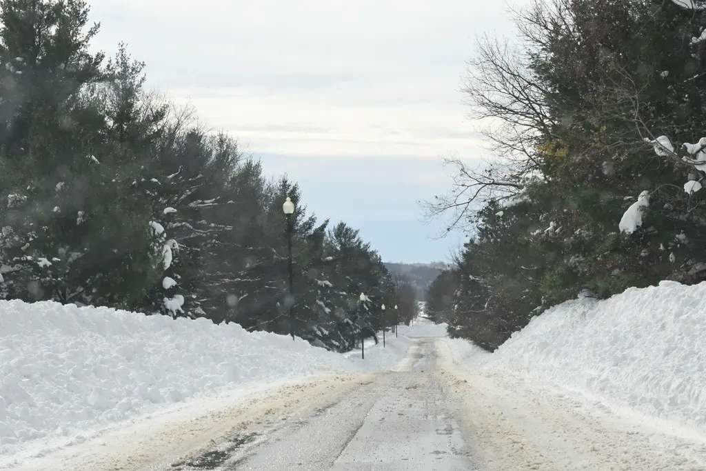
The late-2024 season offered a vivid real-world example of how these ingredients combine. After a Thanksgiving storm pushed through the Northeast on November 28, strong westerly wind filtered in across region, bringing cold temperatures and burying many in lake effect snow from November 29 through December 4, before yet another storm moved through on December 5, which was followed by even more lake effect snow for some of the same areas.
The totals from that stretch were striking even by regional standards. From November 28 through December 8, Cattaraugus, New York racked up the highest snowfall, totaling over 6 feet, while sites in Pennsylvania, Ohio, and Michigan also saw totals from these two events that reached well over 60 inches. Individual daily records fell as well, including in cities with more than a century of weather data on file. Erie, Pennsylvania broke its snowiest day record with 22.6 inches falling on November 29 since its records began in 1893, and Gaylord, Michigan had 24.8 inches on November 29, its snowiest day since the site began recording in 1998.
Warming lake waters are changing the equation
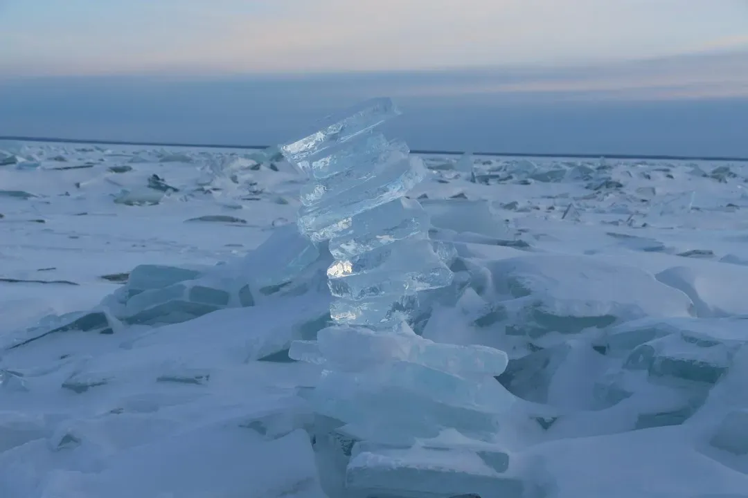
There’s growing evidence that lake temperatures themselves are shifting the character of these storms. The impressive late-2024 lake effect snow event may be attributed to the warming water temperatures of , with both Lake Erie and Lake Ontario reaching year-to-date record high water surface temperatures by the end of November, partly due to an above-average 2024 fall season and a warm 2023-2024 winter, continuing an average warming trend over the past 30 years.
Warmer water doesn’t automatically mean more snow everywhere, though. Researchers who track the region point out that the relationship is more nuanced than it first appears. As global temperatures continue to rise and further warm , areas in lake-effect zones will continue to see increasing lake-effect snowfall since a warmer atmosphere can hold more moisture, but areas in southern lake-effect zones may eventually see lake-effect snow replaced by lake-effect rain as winter temperatures rise. In other words, the far northern snowbelts may keep piling up snow even as some southern fringe areas start trading snowstorms for cold, heavy rain.
Final thoughts
Lake-effect snow is one of those weather phenomena that seems almost too localized to be real, until you’ve stood on one side of a street with clear skies while the other side disappears into a whiteout. It all traces back to a temperature gap between water and air, a bit of wind direction, and sometimes a hill in just the right spot. As continue to run warmer later into the season, that recipe isn’t going away anytime soon, and the snowbelts downwind will likely keep writing new chapters in an already long history of extreme totals.
