


- Atlantic Hurricane Activity Has Often Rebounded After Strong El Niño Years, Records Show - November 15, 2026
- The Planet Where It Rains Liquid Glass – 7 Alien Worlds Defying Known Physics - November 14, 2026
- Stars Consuming Entire Worlds – 6 Planetary Systems Swallowing Their Own Worlds - November 14, 2026
Stand on Ocean Drive today and it’s easy to forget that the Miami of the early 2000s looked almost like a different city. The postcards from that era show low rise hotels, quiet stretches of sand, and a Biscayne Bay skyline that barely poked above the palm trees. A lot has happened since then, and not all of it shows up in a photograph.
Some changes are obvious the moment you land at Miami International Airport and see the wall of glass towers along the bay. Others are quieter, measured in inches of tide gauge data or centimeters of sinking concrete, and only show up when scientists and engineers start comparing numbers across two and a half decades.
The tide gauges tell a quiet but steady story
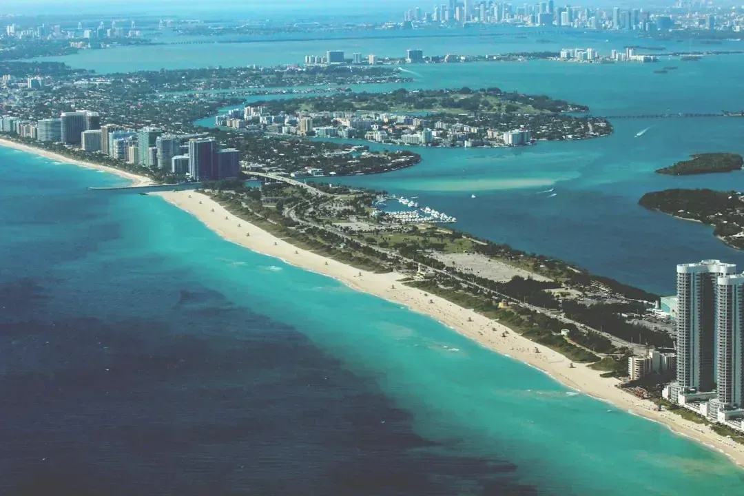
Long before anyone talks about skylines or condo booms, the most fundamental change to Miami’s coastline is written in tide gauge records. NOAA measurements confirm that sea levels around Miami have risen approximately 6 inches since 2000. That sounds modest until you consider how flat and low lying South Florida actually is, where a small rise in water can mean the difference between a dry street and a flooded one during a routine high tide.
The pace has not been steady either, it has accelerated. Sea levels around Florida are now climbing roughly an inch every three years, largely tied to a slowing Gulf Stream. Miami Dade County’s own planners have taken this seriously enough to plan around it, noting that sea levels are expected to be 10 to 17 inches higher than 2000 levels by 2040. That is a projection, not a guarantee, but it shapes almost every infrastructure decision the county makes today.
A skyline that barely existed in 2000
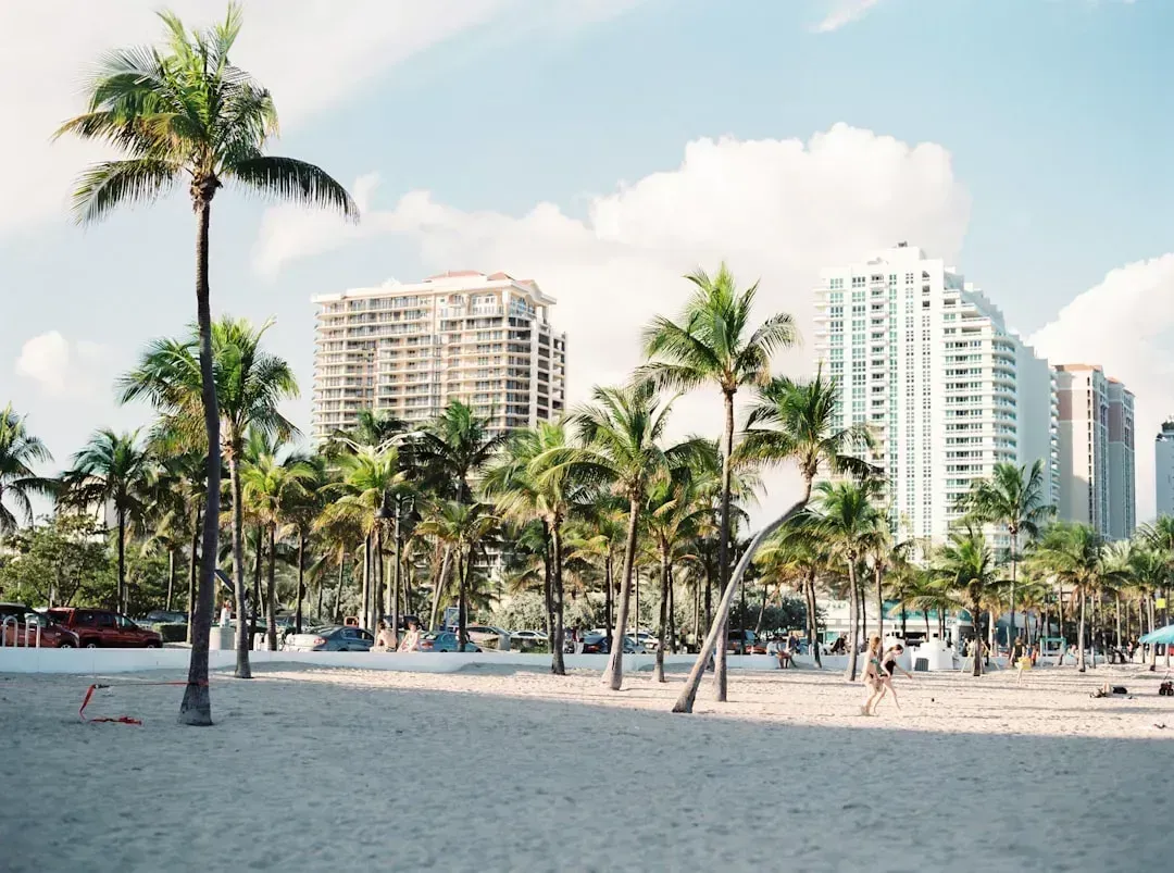
If you compare a photo of downtown Miami from the year 2000 with one taken this year, the transformation is almost unrecognizable. For much of the twentieth century, Miami had a relatively modest skyline compared to other major American cities. That started to change in the mid 1990s, when a large residential high rise boom began reshaping the waterfront and pushed outward into Brickell and Edgewater.
The scale of that shift becomes clear in the numbers. Of the more than 78 completed skyscrapers taller than 492 feet in Miami today, fewer than one in twelve were built before 2000. The city now has the third largest skyline in the United States, ranking only behind New York City and Chicago, a remarkable jump for a place that spent most of the last century in a much lower profile.
Streets rise, pumps hum: how Miami re-engineered its shoreline

Where the coastline used to just sit there and take whatever the tide gave it, today it fights back with concrete and machinery. Miami invested heavily in flood mitigation, raising roads in vulnerable areas like Miami Beach and installing dozens of new pump stations along with improved stormwater drainage systems. None of that infrastructure existed at scale in 2000.
The engineering effort has been enormous and expensive. Officials built a network of pumps that force water out of flood prone areas and into Biscayne Bay, and the estimated cost for just three pumps, including land acquisition, reached 200 million dollars. Even with dozens of pumps running, the larger Miami area still cannot be fully protected, which tells you something about how much the baseline conditions have shifted since the turn of the millennium.
The beaches you see today aren’t quite the ones nature made
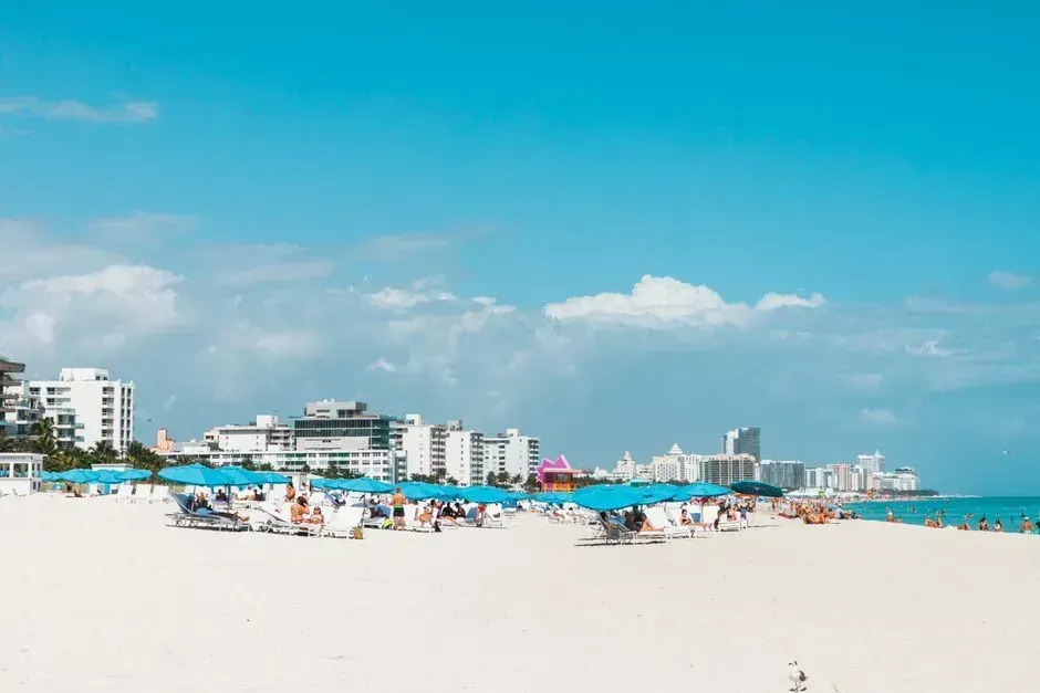
Tourists lounging on Miami Beach rarely think about where the sand actually came from. The federal beach nourishment project that shaped much of today’s shoreline was initially constructed between 1975 and 1982, and its ongoing federal participation was set to expire in 2025, forcing a fresh round of planning. These beaches are not a passive backdrop, they are actively maintained economic assets, drawing about 7 million overnight visitors who spend roughly 11.4 billion dollars a year while also protecting over 46 billion dollars in taxable property from storm surge.
Keeping that sand in place has become harder every year. Miami Dade County has exhausted much of its nearshore sand supply and is now exploring sources as far away as the Bahamas, since domestic sand within reasonable hauling distance is running thin. A 16 million dollar project in the mid 2020s pumped fresh sand onto several eroded stretches of Miami Beach, a reminder that the wide, photogenic beaches of today require constant, costly intervention that simply was not necessary at this scale in 2000.
Ground shifting underfoot: the sinking towers

Perhaps the most surprising change is one you cannot see with the naked eye. A University of Miami study documented vertical displacement in 35 coastal high rise buildings between 2016 and 2023, with subsidence ranging from about 2 to 8 centimeters. The heaviest impacts were found in Sunny Isles Beach, where nearly 70 percent of coastal buildings showed some degree of settling.
This kind of gradual sinking is not entirely new to South Florida’s porous limestone foundations, but construction activity near existing towers appears to be accelerating the process. Florida’s building codes were updated after the 2021 Surfside condominium collapse to require routine inspections, a regulatory shift that simply did not exist in the same form back in 2000. The concern now is less about sudden failure and more about long term structural stress building quietly beneath some of the same waterfront towers that define today’s skyline.
Biscayne Bay’s slow motion crisis
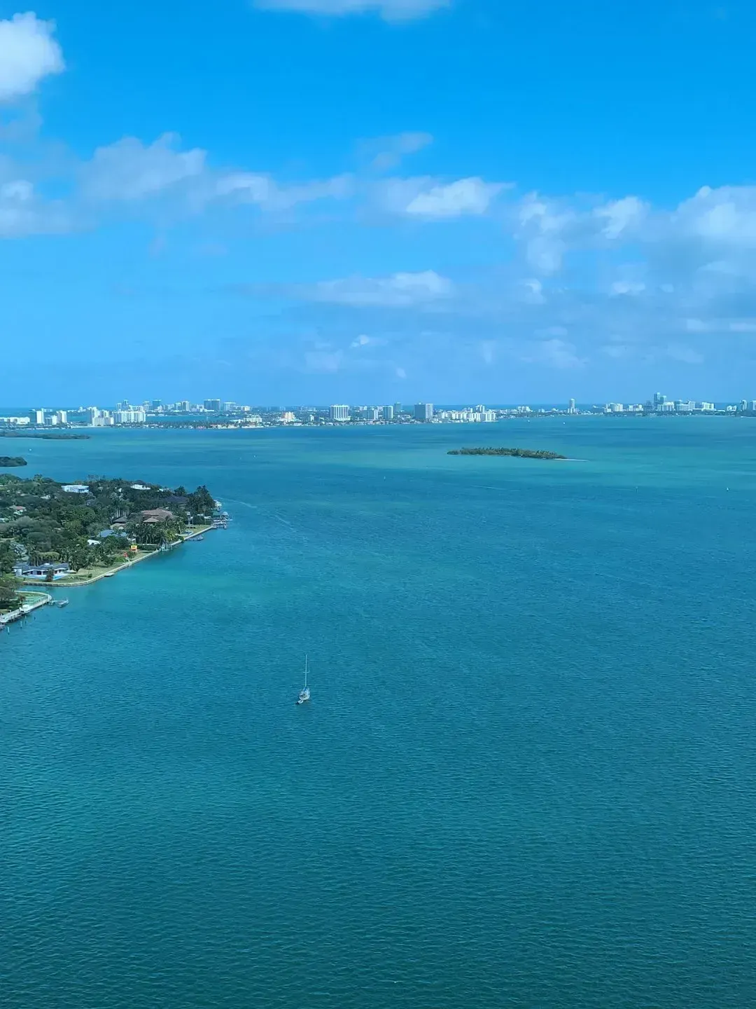
Behind the glossy skyline sits a body of water that has struggled quietly for over a decade. Scientists monitoring Biscayne Bay first noticed a seagrass die off in the busy Tuttle Basin back in 2013, and by 2017 three quarters of it were already gone. Across the wider bay, more than 20 square miles of seagrass have vanished, and in some areas the losses have topped 80 percent.
That decline reached a breaking point in August 2020, when a massive fish kill and algae bloom stunned residents who had little idea how much trouble the bay was in. A 2023 report card on the bay’s health found that all regions showed an overall score of fair or poor, worse than the year before. None of this existed as a public crisis in 2000, when the bay’s problems were still building quietly beneath the surface rather than washing up on shorelines.
King tides and sunny day floods, more common than ever
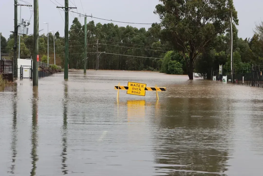
Ask any longtime Miami Beach resident and they will tell you that flooding on perfectly clear, sunny days has become routine in a way it never was in 2000. Tidal flooding in some areas of Florida has increased by 352 percent since 2000, a jump largely driven by the same slow sea level rise discussed earlier. Miami now experiences significantly more high tide flooding days per year than it did two decades ago.
These are not hurricane events, they are ordinary king tides that used to be a minor curiosity and are now a scheduling consideration for businesses and drivers alike. The pattern is exactly what climate scientists predicted years ago, and it is one of the clearest, most lived in signs that the coastline of 2026 behaves differently than the coastline residents knew at the start of the century. Streets that stayed dry through a normal high tide in 2000 now regularly see standing water without a drop of rain falling.
Cranes on the horizon: the next wave of construction
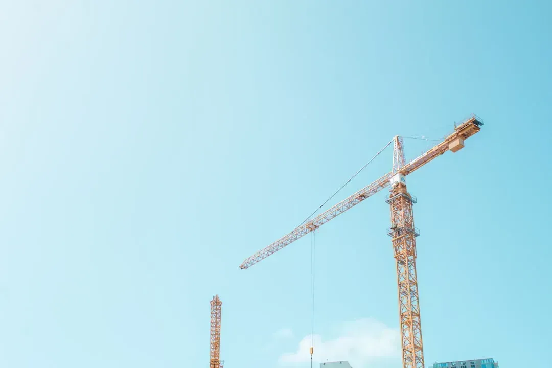
If the last two and a half decades transformed Miami’s coastline, the years ahead promise more of the same. Over 140 major developments are either under construction or planned across the metro area, with 24 major towers currently underway. Among them is the Waldorf Astoria Miami, positioned to become the city’s first supertall skyscraper and expected to reach the 1,049 foot height limit set by the Federal Aviation Administration due to nearby airport runways.
Beyond the Waldorf Astoria, plans include a Citadel headquarters tower signaling Miami’s growing role as a finance hub, along with mixed use supertalls like the long discussed One Bayfront Plaza. Another 120 buildings sit in earlier planning stages, meaning the skyline that already looks unrecognizable compared to 2000 is set to keep climbing for years to come, even as the ground beneath some of its towers continues to settle.
Money follows elevation: real estate remade by risk
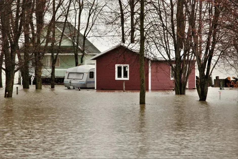
One of the more subtle shifts along Miami’s coast involves where money flows rather than where buildings rise. Research on climate gentrification has found that higher elevation properties in flood prone areas are appreciating at a faster rate than their lower lying neighbors, a trend that essentially did not register as a factor in real estate decisions back in 2000. Properties projected to face tidal flooding by 2032 have already lost several dollars per square foot in value each year, adding up to more than 465 million dollars in lost real estate value across Miami Dade between 2005 and 2016 alone.
The stakes for individual properties can be staggering. On Fisher Island alone, roughly 800 apartments carrying an average value near 4.4 million dollars per unit in 2024 add up to about 3.52 billion dollars in real estate that faces long term risk from rising seas without further intervention. Buyers, insurers, and lenders now factor flood exposure into pricing decisions in ways that were barely on anyone’s radar at the turn of the millennium.
