


- VR tool shows how rising seas could flood Fort Lauderdale - November 12, 2026
- NASA invites students to design a moon base in $1 million challenge - November 11, 2026
- Why Some People Can Feel a Storm in Their Joints, According to Experts - November 11, 2026
Tropical cyclones run on heat. The warm upper layer of the ocean is their fuel tank, and when that tank holds more energy, storms have more to work with. That basic physics has been understood for decades, but recent seasons have made it feel much less abstract.
This article looks at how warm water feeds these storms, where the science is solid, and where it’s still being worked out. Hurricanes in the Atlantic and typhoons in the western Pacific are the same type of storm, so most of what follows applies to both. Much of the recent attribution research, however, has focused on the Atlantic.
How Warm Water Powers a Tropical Cyclone

A storm draws energy from the ocean through evaporation and heat transfer at the surface. The warmer the water, the more energy the storm accumulates and the more quickly it can intensify. That moist, warm air rises, condenses, and releases heat, which strengthens the circulation.
There’s a rough threshold too. Sea surface temperatures above 26.5C, extending to a depth of 50 metres, can drive a storm to intensify into a hurricane. Surface warmth alone isn’t the full story, as the next section explains.
Why Depth of Warm Water Matters
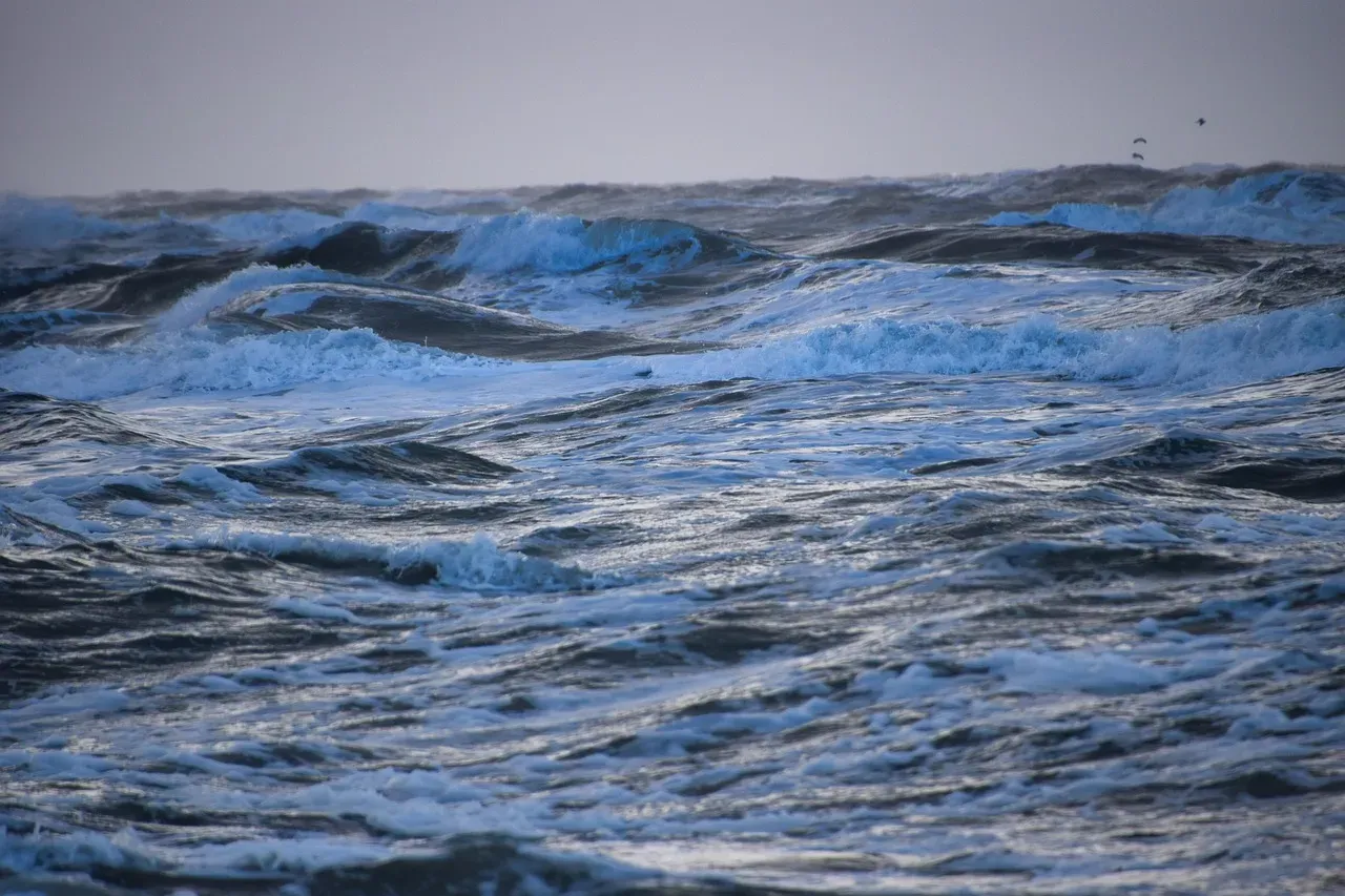
Storms churn the sea and mix cooler water up from below. If the warm layer is thin, the storm cools its own fuel supply. If it’s deep, that cooling is limited and the storm can keep strengthening.
A 2025 study in Geophysical Research Letters examined Hurricane Ian. Ian rapidly intensified from Category 3 to 5 while crossing the wide West Florida Shelf. Moorings showed that sea surface and subsurface temperatures exceeded climatology by 1–2°C and 2–3°C, respectively. Subsurface heat, in other words, can matter even over relatively shallow water.
Rapid Intensification Explained
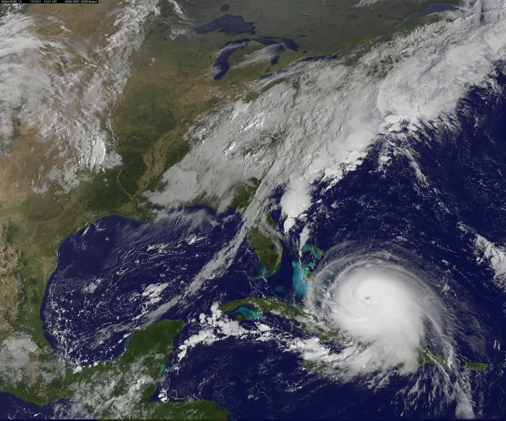
Rapid intensification is a jump in wind speed that can catch forecasters and coastal residents off guard. It’s defined as an increase in maximum sustained winds of at least 30 knots, about 35 mph, in 24 hours. It’s also common among the strongest storms, since about 80% of major hurricanes (Category 3-5) undergo it.
Warm oceans are one major ingredient, though not the only one. Wind shear, humidity and the storm’s own structure also play roles. Still, researchers note that warmer oceans may contribute to an increased fraction of tropical cyclones that strengthen quickly.
What the Recent Atlantic Seasons Showed

The 2024 season offered several striking examples. Meteorologist Jeff Masters, citing Kieran Bhatia, noted that Milton’s 36-hour intensification of 120 mph tied the record set by Wilma in 2005. CNN reported that Milton’s intensification rate reached 90 mph in 24 hours over the Gulf’s ultra-warm waters.
The following year continued the pattern. In 2025, four Atlantic hurricanes (Erin, Gabrielle, Humberto and Melissa) rapidly intensified, and all four reached the extreme threshold. Yale Climate Connections described this as the greatest number of extremely rapidly intensifying hurricanes in a season since 1980, tied with earlier years.
Measuring Climate Change’s Share of the Strength
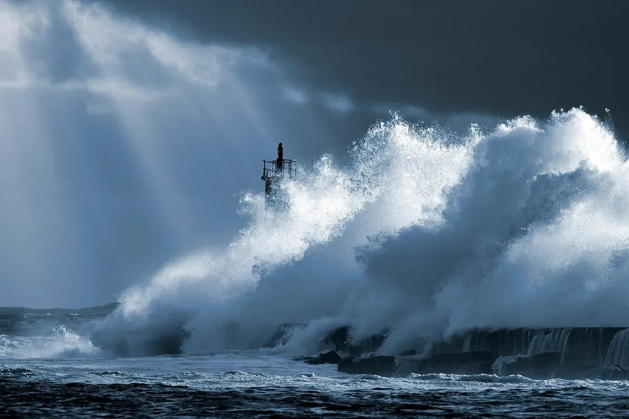
Attribution studies try to separate how much of a storm’s strength came from human-driven ocean warming. A Climate Central study published in Environmental Research: Climate found that 30 of 38 hurricanes examined reached intensities roughly one category higher than expected in a world without climate change. The analysis covered 2019 through 2023.
The group’s findings for 2024 pointed the same way. Maximum wind speeds for all eleven hurricanes to date in 2024 were increased by 3 to 14 miles per hour. Note that this is one organization’s method, and Climate Central itself adjusted its calculation in 2025 to include a more comprehensive set of thermodynamic factors. Treat the exact numbers as estimates.
Marine Heatwaves and Record Gulf Temperatures

Short, intense spells of ocean heat can matter as much as long-term trends. A study in Communications Earth & Environment on Gulf of Mexico hurricanes found rapid intensification is 50% more likely during marine heatwaves.
Attribution work has also linked such heat to climate change. Carbon Brief reported that record-breaking Gulf temperatures that helped Helene spin up were made 200-500 times more likely by human-caused climate change. That’s a statement about the ocean heat itself, which then feeds into storm strength.
Stronger Storms Mean Heavier Impacts
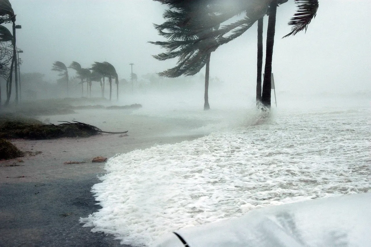
Intensity changes what happens on land. Climate Central says warmer oceans are fueling more intense Atlantic hurricanes that bring heavier rainfall and higher storm surge at landfall. A late surge in strength also leaves less time to prepare.
Damage doesn’t rise in a straight line either. Masters wrote that storm damage rises exponentially as winds increase, and Helene’s intensification raised its destructive power by a factor of about 92 on a NOAA damage potential scale. A modest wind increase can therefore have outsized consequences.
What Scientists Are Still Working Out

It’s worth being clear about limits. Warm water raises the ceiling on how strong a storm can get, but it doesn’t guarantee more storms overall, and it doesn’t act alone. Climate Central’s careful wording, that warmer oceans may contribute to more rapid intensification, reflects that.
Observations are another gap. Researchers have noted that marine heatwave and heat potential estimates rely mainly on satellite surface data, and subsurface data are largely overlooked because of a lack of in situ measurements. Better ocean monitoring should sharpen both forecasts and attribution.
