


- The Planet Where It Rains Liquid Glass – 7 Alien Worlds Defying Known Physics - November 14, 2026
- Stars Consuming Entire Worlds – 6 Planetary Systems Swallowing Their Own Worlds - November 14, 2026
- The Ground Liquefies Like Water – 6 Silent Fault Lines Geologists Watch Closely - November 14, 2026
Most volcano stories focus on what lava takes away. The 2018 lower East Rift Zone eruption on Hawaii’s Big Island did plenty of that, yet it also built something. Along the Puna coast, the lava left behind a wide shelf of fresh rock where open water used to be.
The figure most often cited is about 875 acres. Here is how that land formed, what happened around it, and what scientists have said about it since.
The number behind the headline
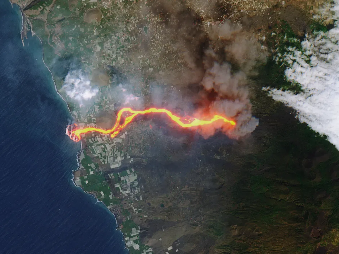
The USGS Hawaiian Volcano Observatory says 875 acres of new land were added in a large lava delta during the 2018 eruption. Hawaii County’s recovery office uses the same figure and lists it among the eruption’s natural impacts.
Early estimates were lower because the eruption was still going. In mid-June, county records noted a seaward delta of 320 acres. By June 20, about 380 acres of new land had been added. The total climbed as lava kept reaching the sea.
Where the eruption began
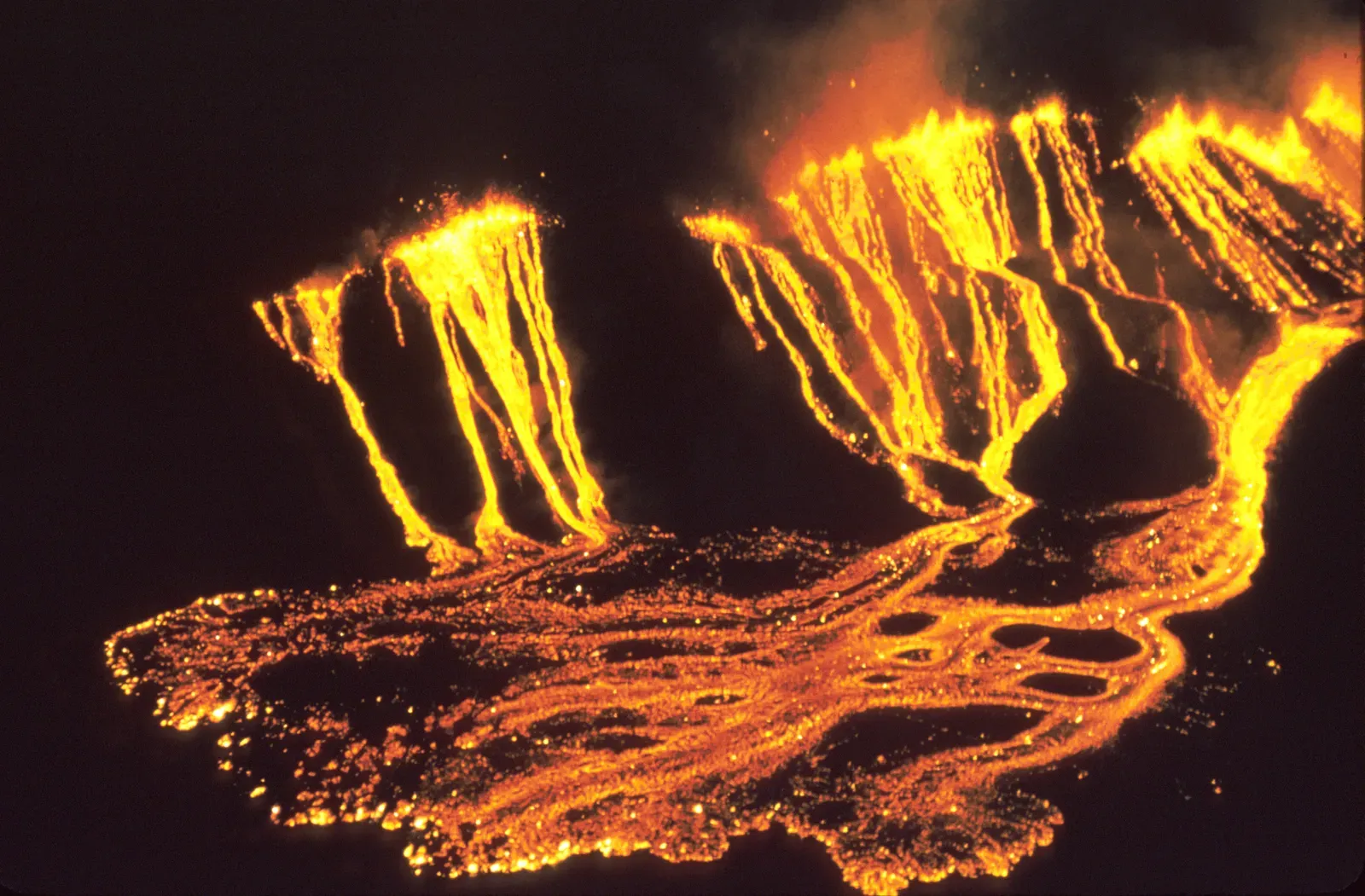
The eruption started in Leilani Estates on May 3, 2018, after magma moved downrift from Puʻu ʻŌʻō. Puʻu ʻŌʻō had been the vent for a long-running eruption since 1983.
County records say 24 fissures opened in total. The lava that eventually built the new coastline came mostly from one of them, fissure 8.
Fissure 8 and the river of lava
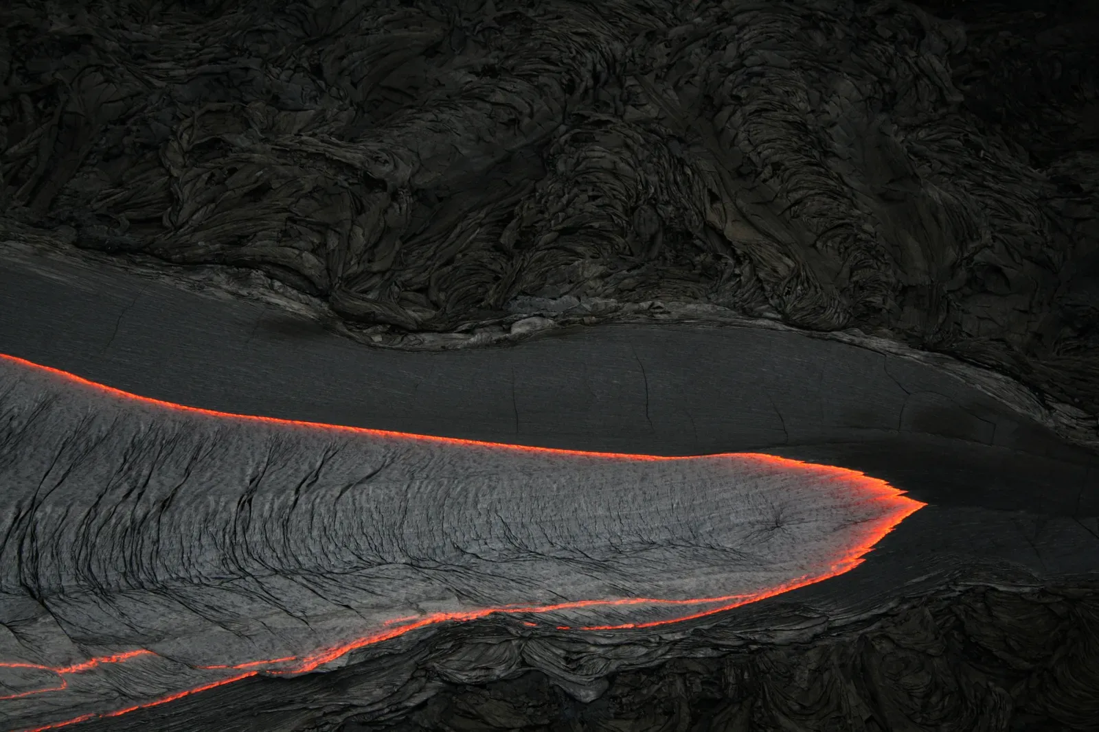
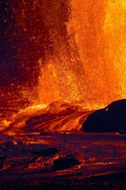
Fissure 8 became the dominant vent. By mid-June, county records describe a spatter cone about 170 feet tall and lava fountains reaching 185 to 200 feet.
The lava flowed to the coast in channels. Records from June 25 show that the flow front was nearly 2 miles wide at the coast, so a very large volume was reaching the ocean at once.
Lava meets Kapoho Bay
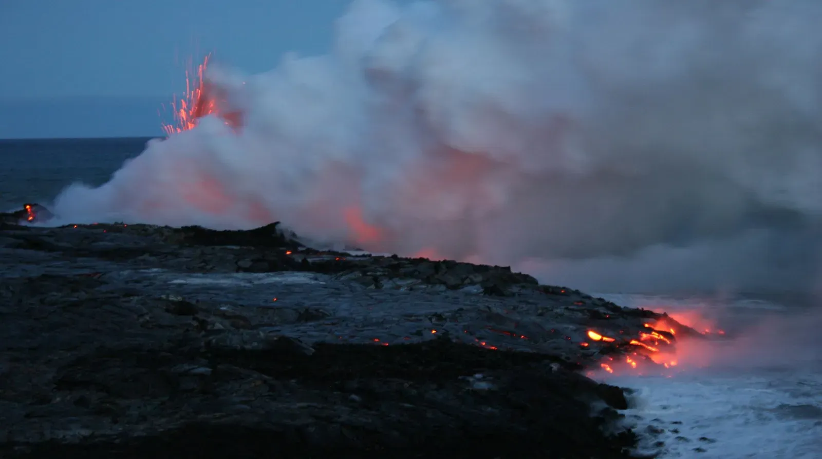
The USGS reports that lava from fissure 8 entered the ocean at Kapoho Bay beginning on June 3. The bay didn’t last long after that.
According to the USGS, by June 6 lava had completely filled the bay and built a delta extending over a mile from shore. A bay that locals and visitors knew for snorkeling became solid ground in just a few days.
How a lava delta works
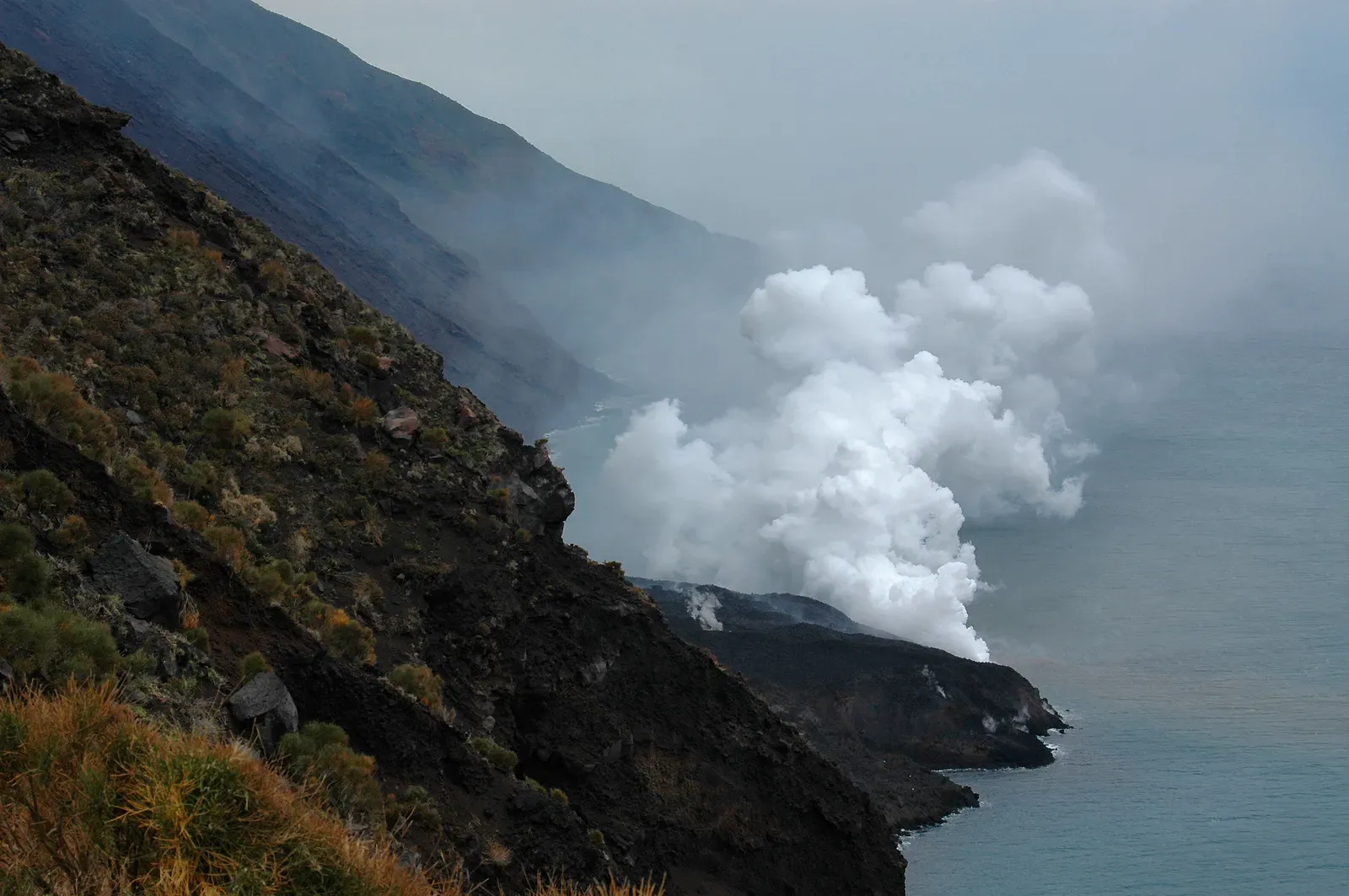
The USGS explains that lava entering the ocean builds a platform of new land known as a lava delta. The lava cools quickly in seawater and stacks up into a shelf.
The land isn’t as solid as it looks. The USGS warns that it appears stable but hides a foundation of loose rubble that can collapse into the ocean. That is why deltas are treated as hazardous even after the lava stops.
What was lost under the lava
The new land came with heavy costs. Hawaii County lists 723 destroyed structures, including 612 residences. The lava covered 13.7 square miles in total.
Natural and cultural places were lost too. County records name Kapoho Vacationland, Lanipuna Gardens and Kapoho Beach Lots, as well as Kapoho Bay and tidepools and the Ahalanui Warm Ponds. They also list the loss of 80 anchialine pools.
Who owns the new land
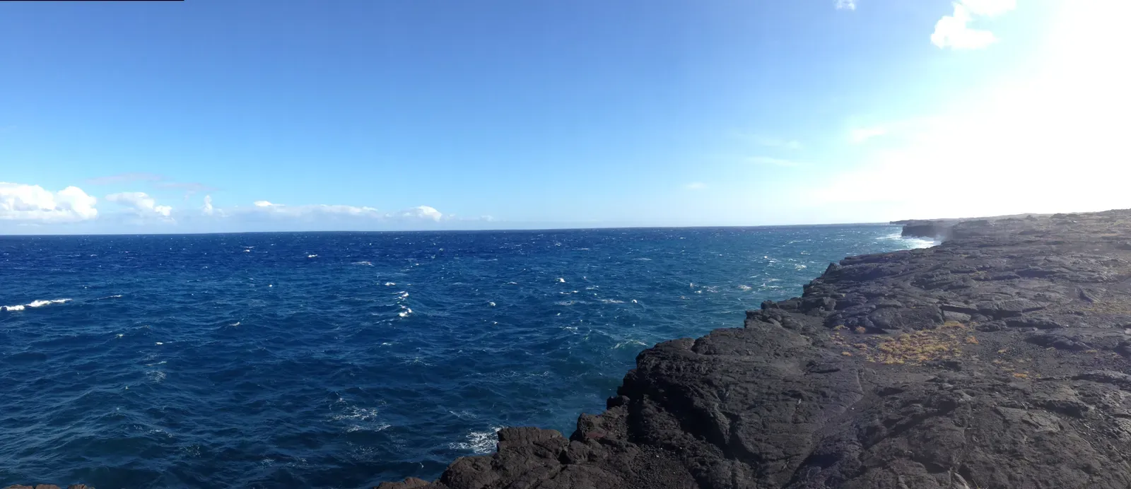
New land raises a practical question about ownership. A 2018 Associated Press report said that the new land in Kapoho Bay is owned by the state. Another report explains that lava-formed land inside the national park becomes federal, while ocean entries outside the park become state land.
Those rules matter for the Puna coast. Much of the delta lies outside the park, so the state has a claim to it, even though many people who lost homes nearby live with that new coastline every day.
Cracks and a changing shoreline
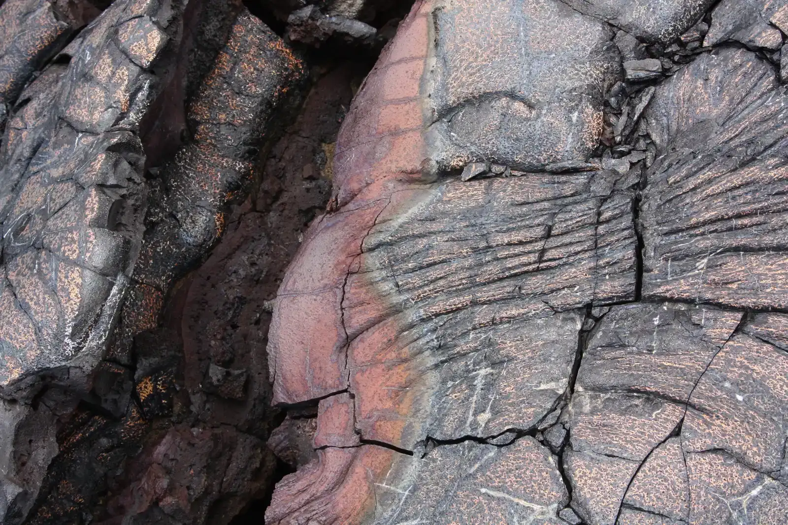
The coastline is still changing. A USGS Volcano Watch column describes new ground cracks in the lava delta near Pohoiki, which worried some residents.
The USGS looked to the nearby delta from the 1960 Kapoho eruption for clues about what to expect. It concluded that signs of instability along the coastline do not indicate renewed volcanic activity. The agency expects more erosion and minor hazards. It also notes that geophysical data have shown no volcanic unrest in the lower East Rift Zone since 2018.
Early estimates versus the final count
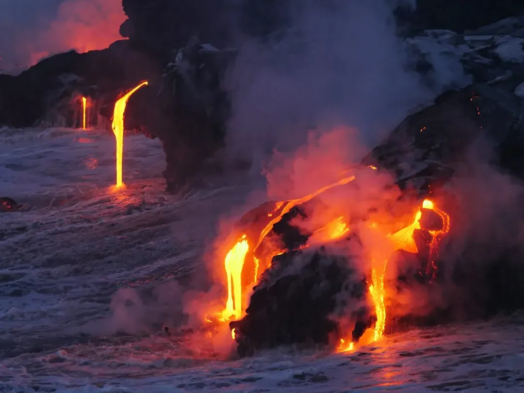
Numbers reported during the eruption were lower than the final total. Newsweek reported that the USGS counted 690 acres of new land while lava was still flowing. By the end of June, Wikipedia’s Kapoho entry puts the figure at about 520 acres.
The 875 acre figure is the one for the whole eruption. Puna’s entry notes that by early August, when the eruption ended, over 13.7 square miles had been covered, including about 875 acres of new land offshore.
Where things stand
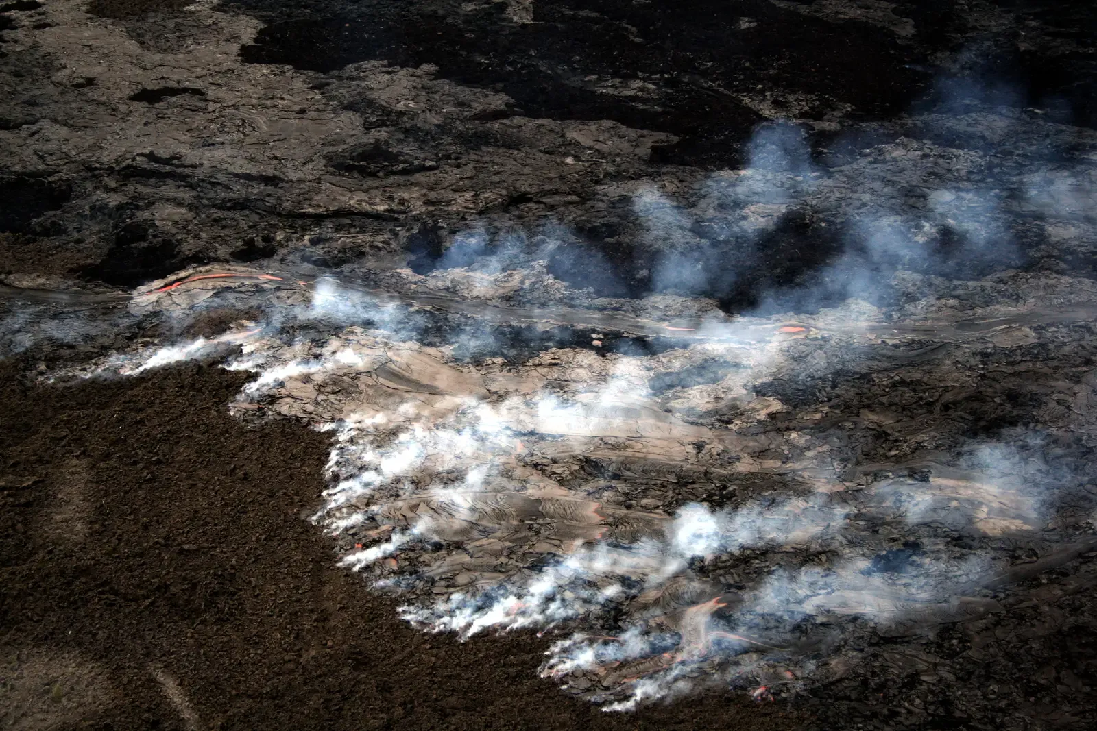
Hawaii County’s records show the eruption covered 13.7 square miles and created 875 acres of new land. The USGS continues to monitor the lower East Rift Zone and reports no volcanic unrest there since 2018. The delta near Kapoho and Pohoiki remains subject to cracking and erosion.
The same eruption that destroyed hundreds of homes also reshaped the Puna shoreline for good. The new coast is state land, and it is still settling.
