
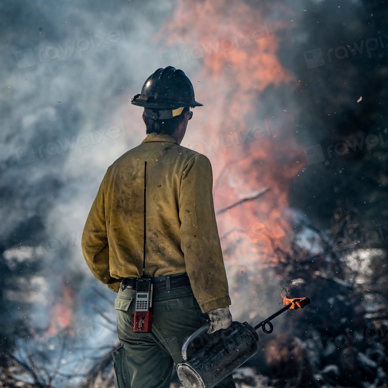
1. California
California remains the state most exposed to wildfire on almost every metric that matters. California leads the nation in wildfire exposure, with 2.1 million homes at risk, nearly three times more than Texas or Colorado. That kind of exposure means even a modest fire season translates into outsized losses.
The insurance math backs this up. 2017 was the worst year ever for California in terms of insured wildfire losses, estimated at nearly 14 billion dollars, and that figure only reflects insured damage. More recently, the January 2025 fires in the greater Los Angeles area were the costliest wildfire events on record, generating an estimated 40 billion dollars in insured losses. Heading into 2026, California’s wildfire danger is also expected to increase through the summer, especially in interior valleys, foothills and lower-elevation areas.
2. Texas
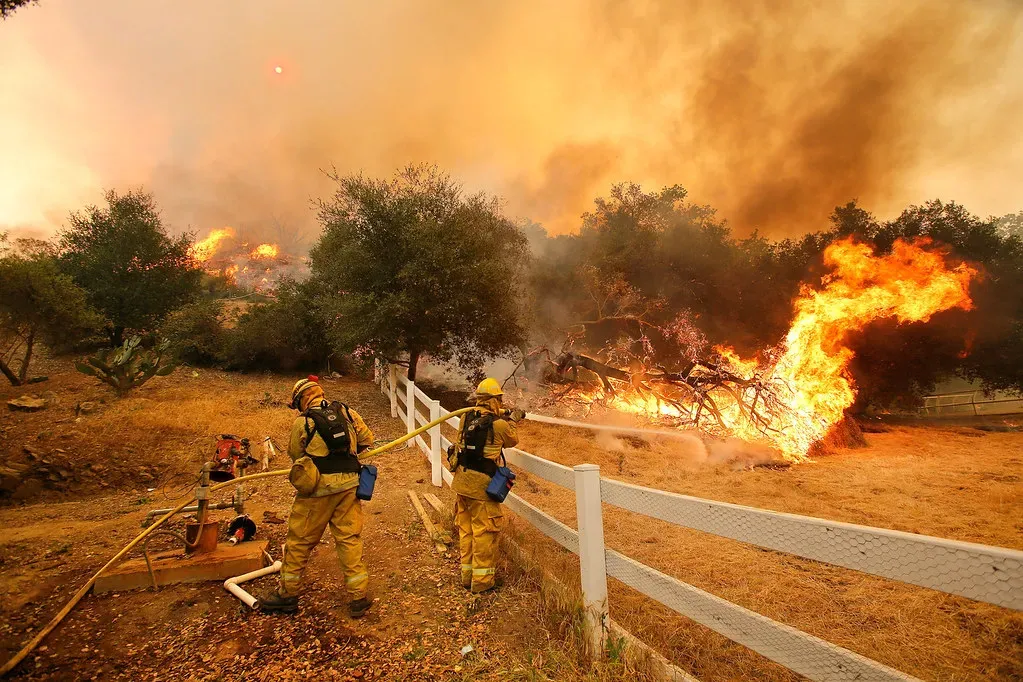
Texas holds the number two spot largely because of scale. Its sheer size, combined with a fast-growing population pushing into rural land, keeps it near the top of every wildfire exposure list. Texas has 750,000 homes at risk from wildfire, second nationally behind California.
The state’s fire history is not abstract. Texas’s 2024 season included the Smokehouse Creek Fire, which set the state record at over 1 million acres in a single fire. Human activity plays an outsized role here too, since Texas ranks second nationally in homes at risk from wildfire, and nine out of ten fires are human-caused. Litigation from that record fire is still working through the courts, with the Texas Attorney General suing Xcel Energy in December 2025 over the 2024 Smokehouse Creek Fire, alleging the utility failed to replace aging infrastructure despite extreme fire weather warnings.
3. Colorado
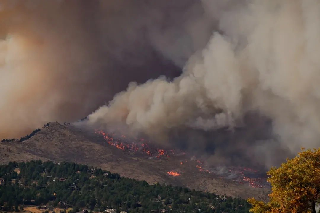
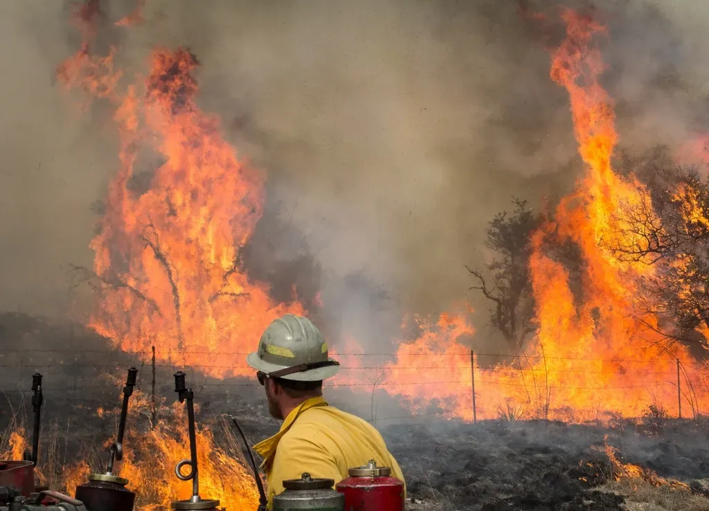
Colorado’s problem isn’t total acreage burned so much as concentration of risk. Colorado sits third on the list for the most dangerous state for wildfire damage, even with a relatively low amount of acreage burned, because the risk of wildfire to housing units is relatively high, coming in at 17 percent. That’s a higher share of at-risk housing than California, even though California’s raw damage totals are larger.
Money follows risk, and Colorado has felt that. The worst year for Colorado in terms of insured wildfire losses was 2012, when 450 million dollars worth of damage was done to the acreage. Forecasters see the eastern part of the state as a particular hotspot this year, noting that wildfire danger across the Plains is likely to remain highest in western areas, including parts of Texas, Oklahoma, Kansas and eastern Colorado, especially during stretches of strong wind and low humidity. Snowpack collapse hasn’t helped either, with Colorado among the states where western snow water equivalent bottomed out near 65 percent below the 1991 to 2020 normal this spring, the lowest on record.
4. Arizona
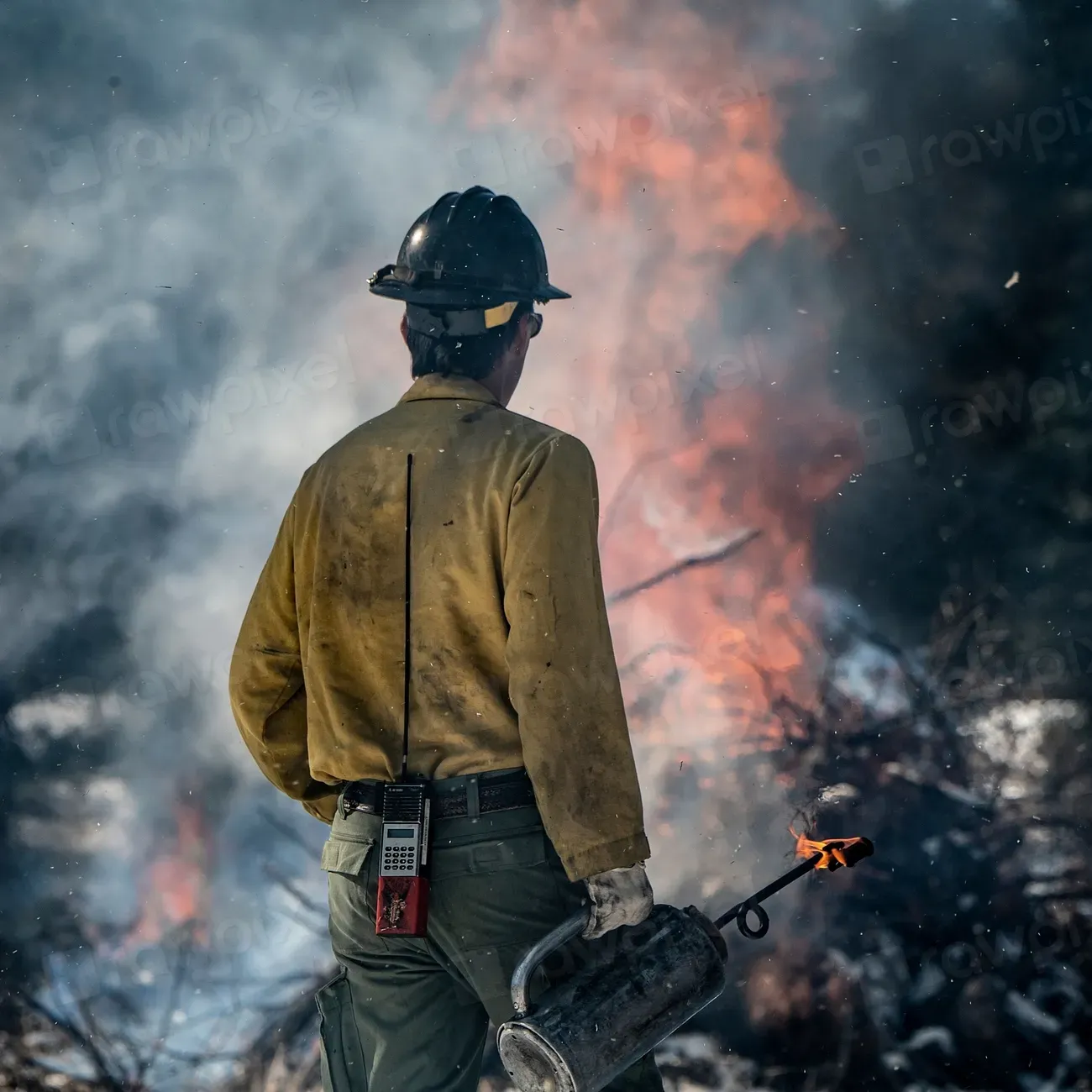
Arizona keeps showing up at the center of the season’s worst outlooks. The broadest and most persistent wildfire risk is expected from Arizona and New Mexico into Utah, Nevada, Idaho, western Montana and parts of the Northwest. That’s not a one-off forecast either; multiple agencies have echoed the same geography for months.
By midsummer the theory had become fact on the ground. As of early July, one active blaze alone had reached 25,200 acres and 38 percent containment, burning north of Sedona with flight restrictions in place at Flagstaff. The underlying driver is the same drought signature seen across the region, since roughly 48 percent of the Lower 48 remains in drought, with fuels across the Great Basin and Rockies critically cured.
5. Nevada
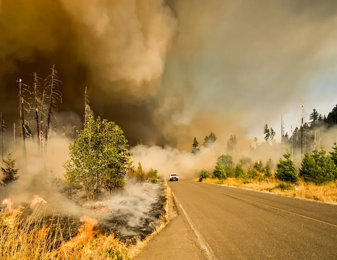
Nevada’s risk profile is a mix of invasive vegetation and extreme wind, a combination that has burned hotter in recent years than almost anywhere else in the Great Basin. Nevada experienced its worst wildfire season since 2020 in 2025, with 690 fires scorching over 395,000 acres, fueled by drought, invasive cheatgrass, and lightning strikes across the Great Basin. The smoke didn’t stay contained to rural areas either.
Wildfire smoke blanketed Reno, Las Vegas, and surrounding communities for extended stretches, driving PM2.5 levels into unhealthy ranges and prompting public health alerts statewide. Heading into 2026, national fire managers have watched the state closely, noting that fire activity increased significantly in recent weeks in eastern Nevada, Utah and the Arizona Strip, including multiple large fires and complex incident management team mobilizations.
6. New Mexico
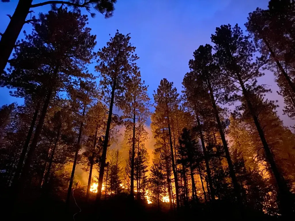
New Mexico’s recent history includes one of the most sobering wildfire stories in the country. New Mexico’s 2022 season was defined by the Hermit’s Peak/Calf Canyon Fire, the largest in state history, an escaped U.S. Forest Service prescribed burn. That single event reshaped how the state and federal government think about fuel management.
The 2026 outlook doesn’t offer much relief. Forecasters have repeatedly grouped the state with its neighbors as facing the season’s broadest fire danger, and on the ground, local outlets have already tracked grass fires closing highways and threatening rural communities in Mora County and elsewhere. Drought monitoring shows the eastern side of the Southwest recovering unevenly, leaving pockets of New Mexico primed for rapid fire spread whenever wind and low humidity align.
7. Oregon
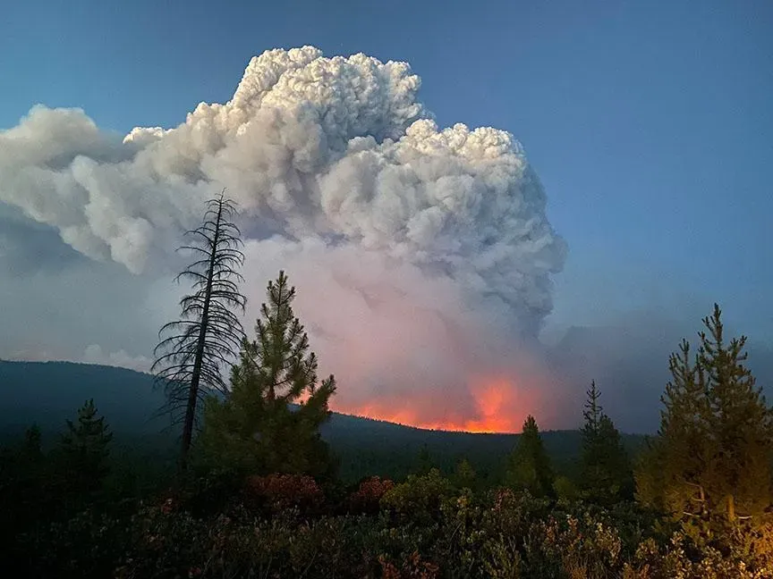
Oregon rounds out the list, and its numbers over the past two decades are hard to ignore. According to the National Interagency Fire Center, California leads the country with the most wildfires, and Oregon leads with the most acres burned. That distinction, most acreage lost of any state, says a lot about the density and dryness of the forests involved.
Conditions heading into this fire season have not been encouraging. As of mid-May, 82 percent of Oregon was experiencing some level of drought, with the Cascades of Southern Oregon sitting in the extreme category, which is rare for springtime. Federal fire outlooks have adjusted accordingly, noting that northwest Washington remains at above normal risk because June’s precipitation was insufficient to offset deep, long-term drought, and west-central Oregon is now raised to above normal risk for July after faster-than-expected curing, especially in coastal forests.
Where the Season Stands Now
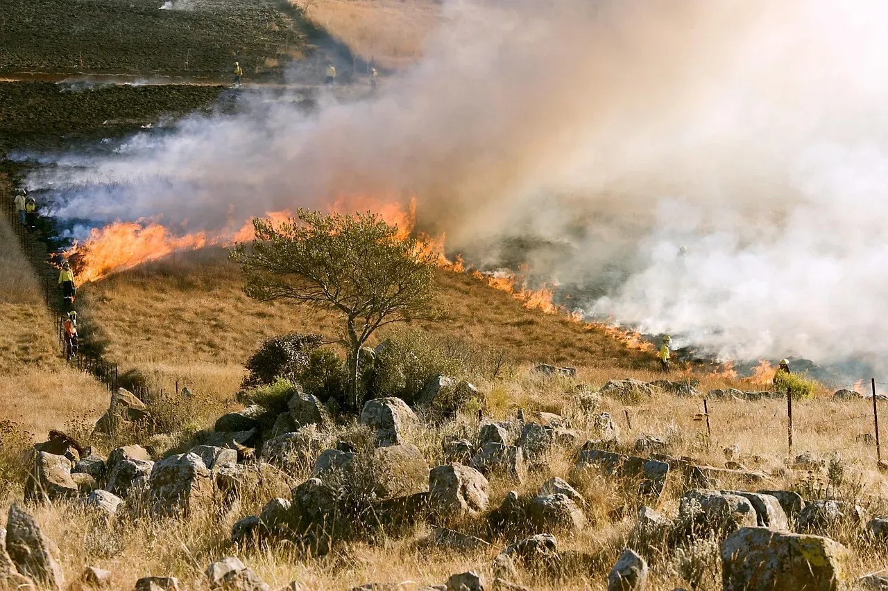
Nationally, 2026 has already outpaced recent years by a wide margin. As of June 30, 3,168,102 acres had burned across the country, 157 percent of the previous 10-year average, with 36,262 wildfires reported so far this year. AccuWeather’s full-season projection points to more of the same, forecasting 65,000 to 80,000 wildfires igniting across the U.S. in 2026, with 5.5 million to 8 million acres burned, above the 5,131,474 acres burned in 2025 and in line with the historical average of 7,000,514.
The seven states above aren’t the only ones under strain, but they represent the clearest combination of exposed housing, dry fuel, and fire history heading deeper into the season. As drought monitors and snowpack readings continue to lag behind normal across the West, the margin for error keeps shrinking for the communities living closest to the fire line.

- I Asked AI and a Waste Auditor How to Cut My Household Trash – Where They Disagreed - November 12, 2026
- Einstein’s equations suggest gravity can reconnect like the sun’s magnetic field - November 12, 2026
- This Map Shows Which States Get the Most Severe Storms Each Year – And It’s Not What You’d Expect - November 12, 2026
