


- The Planet Where It Rains Liquid Glass – 7 Alien Worlds Defying Known Physics - November 14, 2026
- Stars Consuming Entire Worlds – 6 Planetary Systems Swallowing Their Own Worlds - November 14, 2026
- The Ground Liquefies Like Water – 6 Silent Fault Lines Geologists Watch Closely - November 14, 2026
San Francisco, California
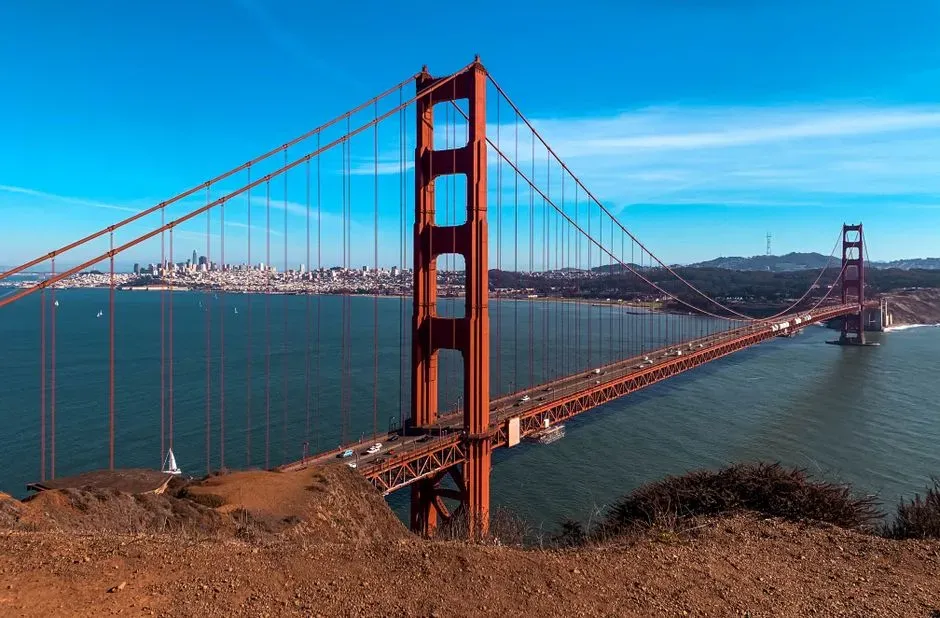
San Francisco consistently tops national risk rankings, and the reasoning is straightforward once you look at the map. California tops the list, with San Francisco County ranked number one and Los Angeles County ranked second, and each county is home to a major city that bears the same name. The city sits within reach of two major fault systems that geologists watch closely.
San Francisco ranks highest among the most earthquake-prone cities due to its location along several major faults, with the Hayward and San Andreas faults among the most hazardous. The odds are not abstract, either. There is a 72% chance of an earthquake of magnitude 6.7 or higher affecting the San Francisco Bay Area and its adjacent areas from 2014 to 2043, according to the USGS.
Los Angeles, California
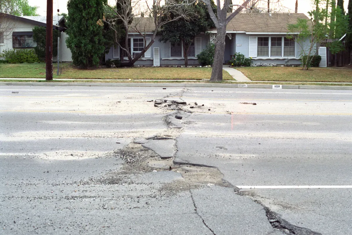
Los Angeles trails San Francisco only slightly in most seismic hazard assessments, and its history backs that up. Los Angeles County ranked second in the most recent national vulnerability data, largely because of its proximity to the San Andreas Fault and a dense web of smaller faults running beneath the metro area.
The city’s most sobering recent example remains the Northridge quake of the 1990s. In 1994, the Northridge earthquake with a magnitude of 6.7 struck near LA, killing 57 people, injuring more than 8,700, and causing $13 to $40 billion in damages. That single event reshaped building codes across Southern California and still informs how engineers think about retrofitting older structures today.
Seattle, Washington
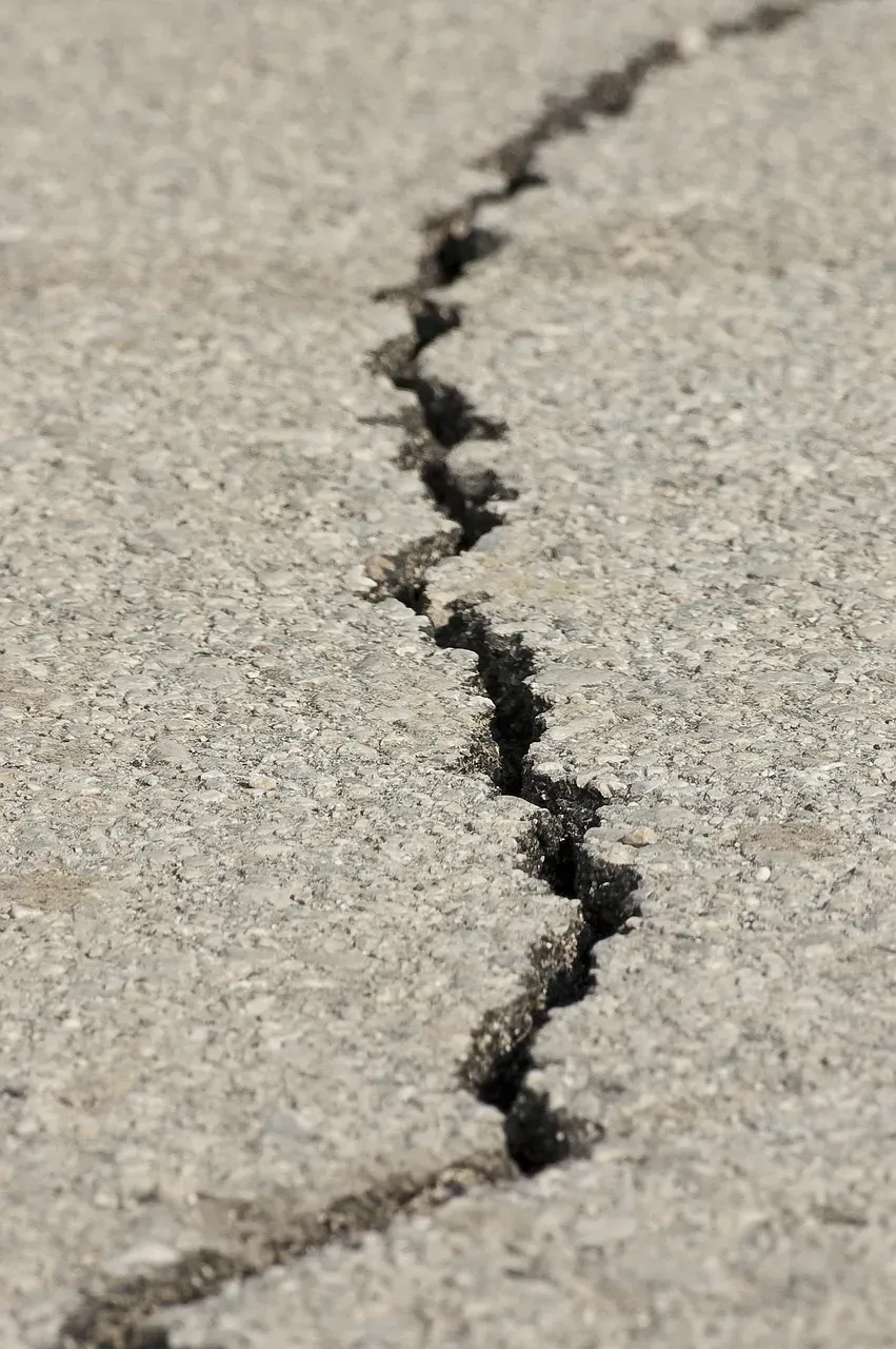
Seattle’s risk comes from something most residents rarely see: an offshore subduction zone capable of producing one of the largest earthquakes on the planet. Seattle is at risk of earthquakes due to the Cascadia Subduction Zone, a geological feature that poses a threat not only to Seattle but to the entire region, with the potential for a massive earthquake often referred to as the Big One.
The projected toll if that rupture happens is staggering. FEMA predicts that a Cascadia earthquake and tsunami would injure 27,000, kill 13,000, and damage a million homes, and the odds of a big one in the next 50 years are about 33 percent. Scientists studying the fault put the chances of a full magnitude 9.0 rupture somewhat lower, closer to 10% to 14% in the coming decades, but even a partial rupture would be historic.
Anchorage, Alaska
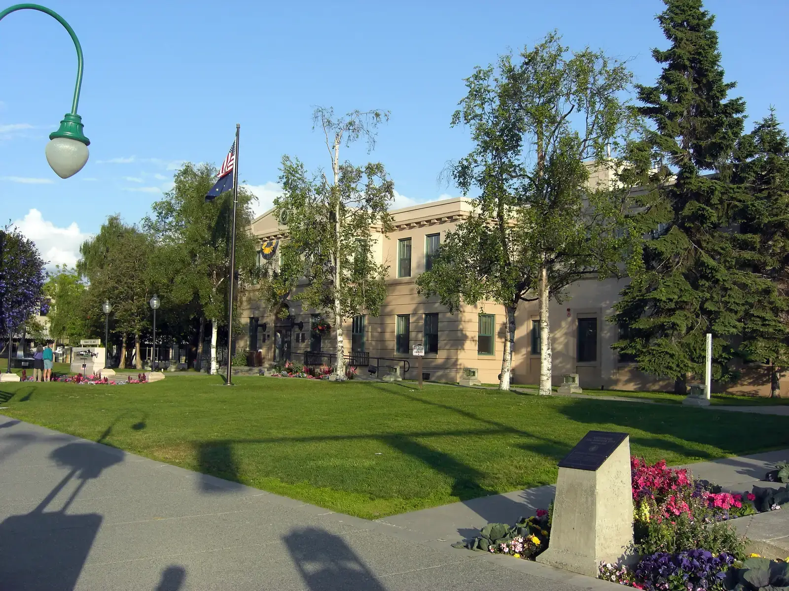
Alaska’s largest city sits inside one of the most seismically restless regions on Earth. The 1964 Great Alaska Earthquake measured 9.2 on the Richter scale, lasted about 4.5 minutes, and remains the most powerful earthquake ever recorded in U.S. history, striking the Prince William Sound region, triggering tsunamis, and damaging Anchorage. That event happened within living memory, not in some distant geologic past.
The activity hasn’t slowed since then. Alaska experiences more earthquakes than all other U.S. states combined, recording about 40,000 earthquakes per year. Building codes have tightened considerably since 1964, though enforcement in more remote parts of the state still varies.
Memphis, Tennessee
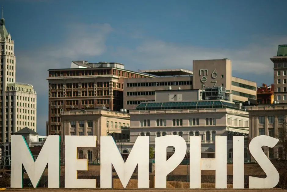
Memphis sits almost directly above the New Madrid Seismic Zone, an intraplate fault system in the middle of the continent rather than at a plate boundary, which makes it something of a geological oddity. Memphis is prone to earthquakes as it lies within the New Madrid seismic zone, which is the most seismically active and well-researched region in the Central and Eastern U.S., according to the USGS.
The probability numbers are specific and unsettling for a city its size. There is a 25-40% probability of a magnitude 6.0 or greater earthquake in the near future from the New Madrid seismic zone, and relatively low regional attenuation means seismic waves do damage over a greater area in this region than a same-magnitude quake out west. Much of the older infrastructure downtown, including unreinforced schools and municipal buildings, was never built with that kind of shaking in mind.
Salt Lake City, Utah
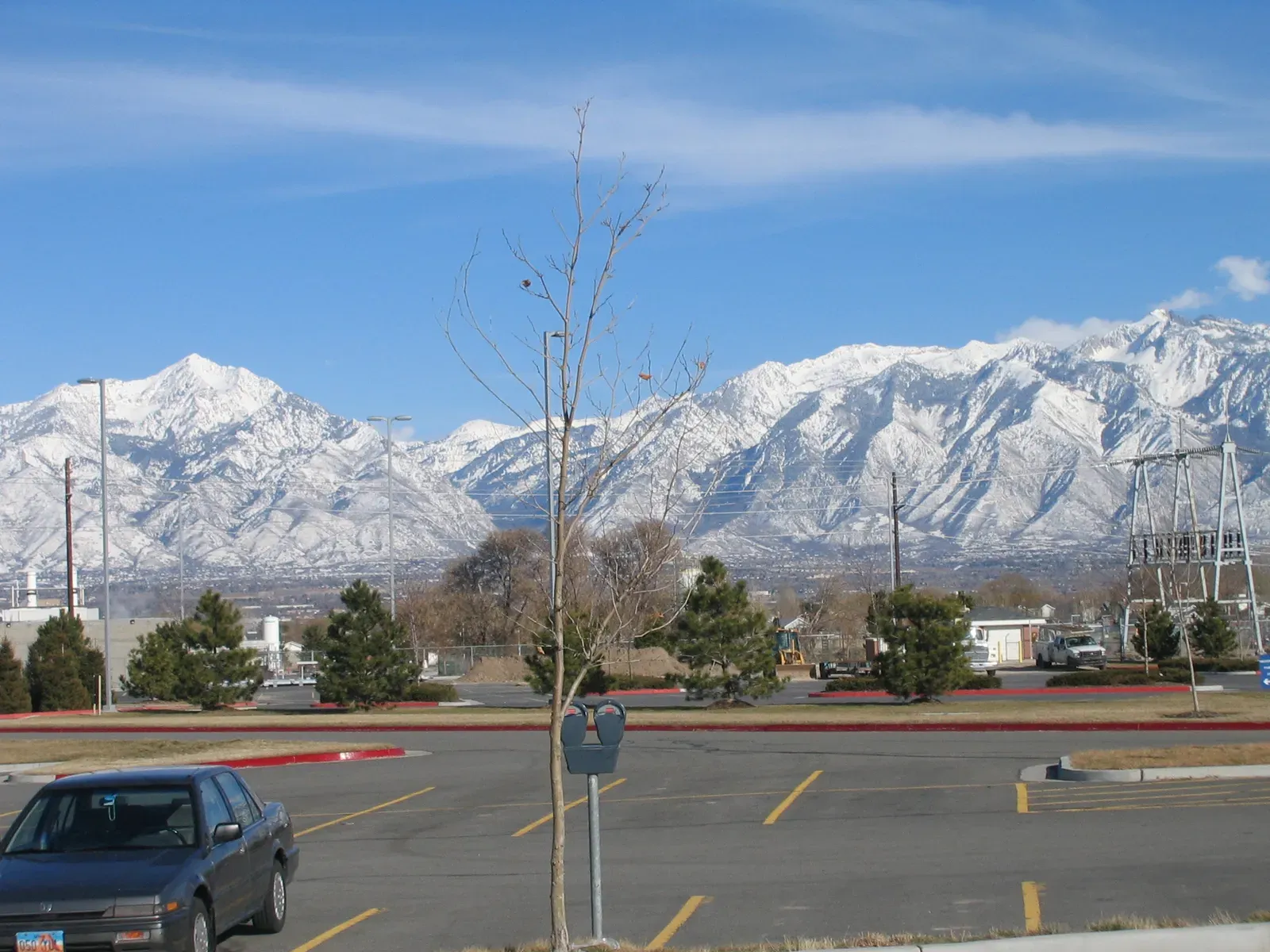
Utah’s capital sits directly on top of one of the longest active fault lines in the western United States. The Wasatch Fault in Utah is the most prominent fault in the Basin and Range Province, running approximately 350 km along the base of the Wasatch Range directly through Salt Lake City, Provo, and Ogden.
The mountains that give the city its postcard views are themselves a product of this ongoing tectonic activity. Salt Lake City is located near the Wasatch Fault, a major fault line that poses a significant earthquake risk, and the city’s stunning mountainous surroundings are a result of that same tectonic activity. Local officials have spent recent years pushing to retrofit older unreinforced masonry buildings, many of which predate any seismic building code.
Charleston, South Carolina
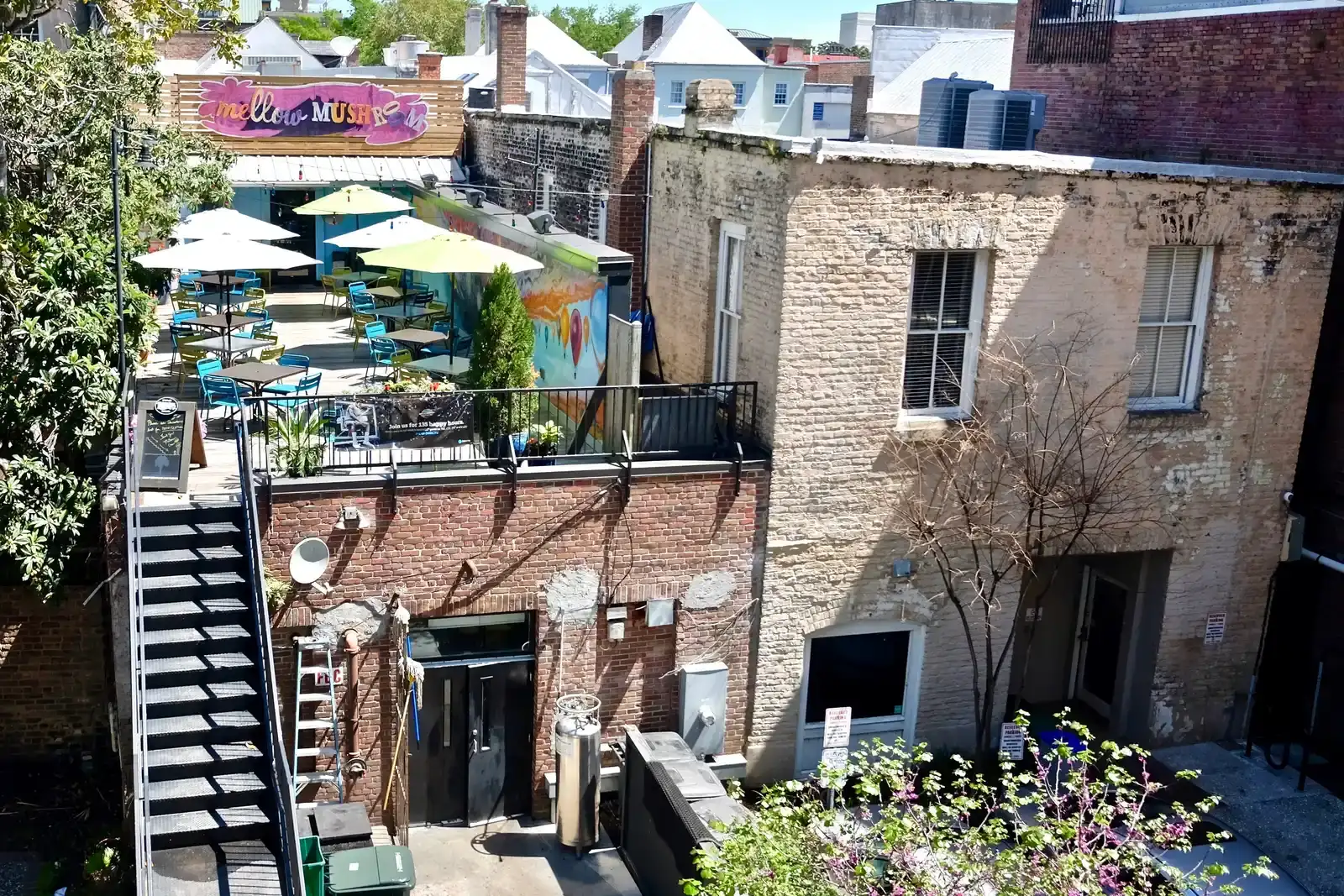
Charleston is proof that the East Coast is not the seismic safe zone many assume it to be. The Charleston area experienced a devastating magnitude 7.0 earthquake in 1886 that killed approximately 60 people and caused widespread damage. That single event remains one of the most destructive quakes in eastern U.S. history.
The underlying threat, known as the Middleton Place-Summerville Seismic Zone, hasn’t gone quiet. The latest USGS maps have slightly increased the risk of earthquake hazards in this zone, which could mean building codes get updated and more homeowners repair their home’s foundation to protect against a seismic threat. Many of the city’s historic buildings still lack the reinforcement that would help them survive a repeat event.
Oklahoma City, Oklahoma
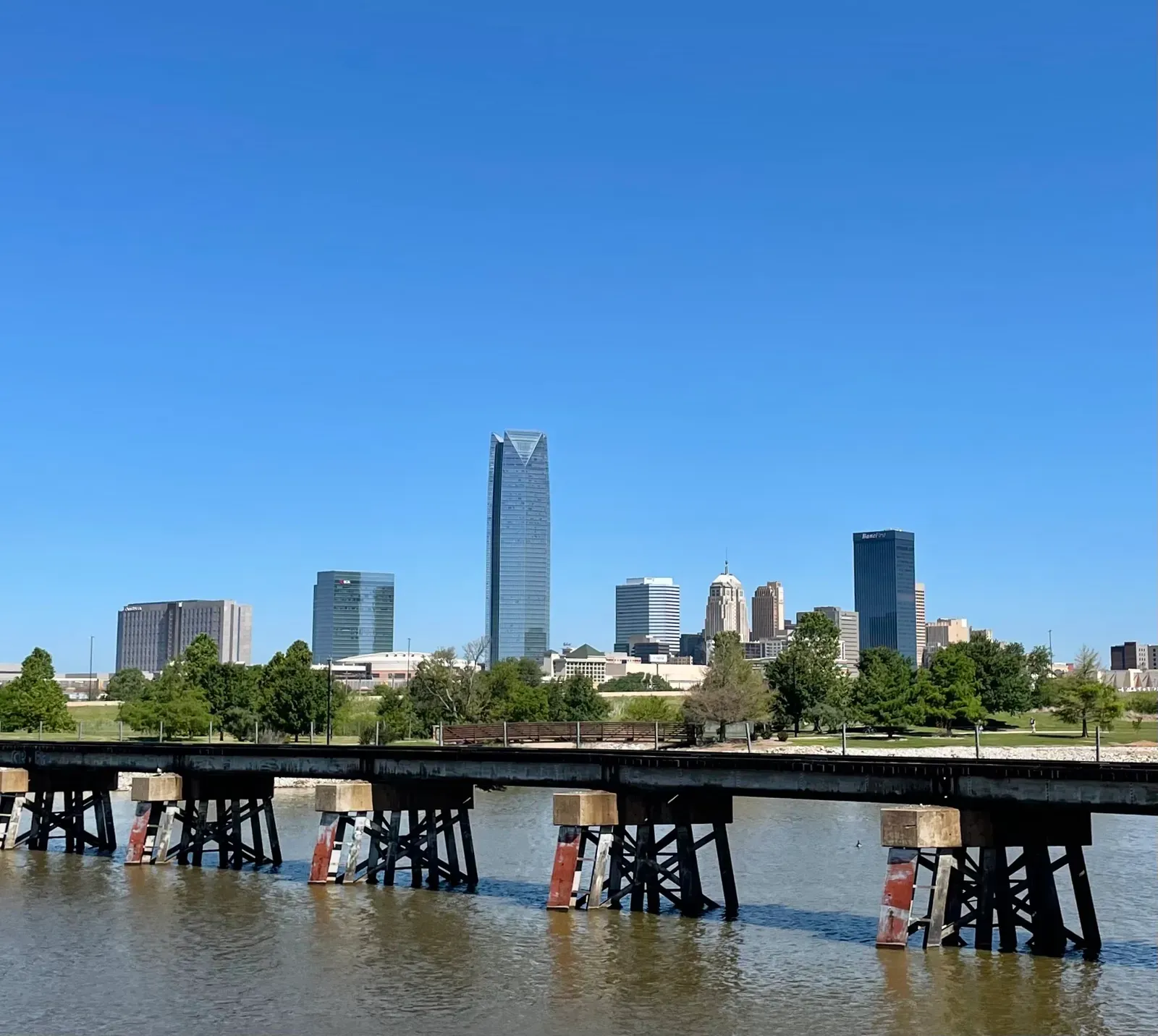
This is where the list starts to surprise people. Oklahoma City’s earthquake problem isn’t ancient geology; it’s a byproduct of the oil and gas boom. Wastewater injection resulting from oil and gas production in Oklahoma caused a dramatic rise in seismic activity in the state between 2009 and 2015. That rise peaked with an extraordinary spike in activity that would have been unthinkable a decade earlier.
Hydrocarbon production in Oklahoma is connected to a rise in earthquake rates starting around 2009 and peaking in 2015, when there were 888 magnitude 3 or larger earthquakes in the state. Regulators have since tightened the rules, and a 2024 study found the state’s induced earthquake rate would look very different without those changes. The number of earthquakes in Oklahoma would have been more than four times higher in 2024 without mandates requiring shallower wastewater injection depths in oil and gas production.
Boston, Massachusetts

Few people associate Boston with earthquakes, which is exactly why it belongs on this list. Federal seismologists have recently flagged the city as part of a broader shift in how the East Coast’s risk is understood. Noteworthy changes in the latest USGS seismic hazard model show the possibility of more damaging earthquakes along the central and northeastern Atlantic Coastal corridor, including in the cities of Washington D.C., Philadelphia, New York, and Boston.
History offers a reminder of just how far seismic energy can travel in the eastern United States. Shaking from the 1886 Charleston quake was felt as far north as Boston, as far northwest as Chicago and Milwaukee, and as far west as New Orleans. Older brick and masonry construction across the city, much of it built long before anyone considered seismic codes, adds to the concern.
New York City, New York
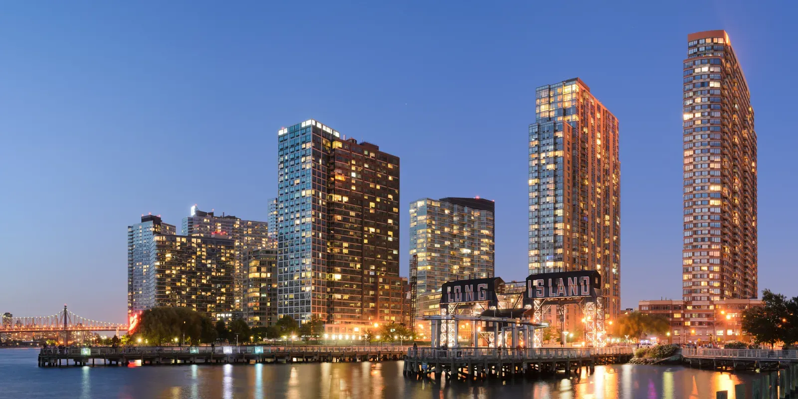
New York City rounds out the trio of quietly overlooked risks, and its inclusion in recent federal hazard modeling caught many off guard. The same 2023 update that flagged Boston pointed directly at the country’s largest city. Noteworthy changes occurred along the Atlantic Coastal corridor, which includes Washington D.C., New York, Boston, and Philadelphia, according to the study.
What makes the city’s exposure notable isn’t frequency, since large quakes here are rare, but density and infrastructure age. Millions of people, aging subway tunnels, and a skyline built across many different decades of construction standards all sit atop bedrock that has never been stress tested by a truly major modern earthquake. That combination of low frequency and high consequence is precisely the profile that keeps seismologists paying closer attention to the Northeast than they used to.
