
- Atlantic Hurricane Activity Has Often Rebounded After Strong El Niño Years, Records Show - November 15, 2026
- The Planet Where It Rains Liquid Glass – 7 Alien Worlds Defying Known Physics - November 14, 2026
- Stars Consuming Entire Worlds – 6 Planetary Systems Swallowing Their Own Worlds - November 14, 2026
The Lower Colorado River Basin (Arizona, Nevada, Southern California)
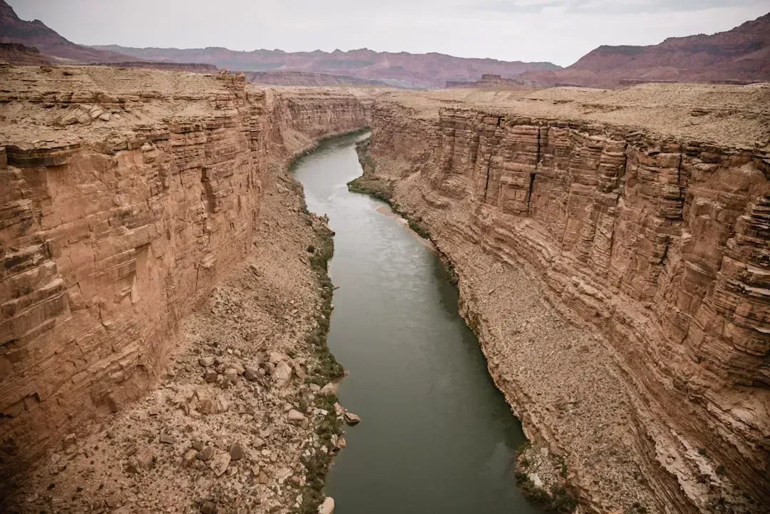
The Lower Basin states are living through what officials describe as the most consequential water story in the country right now. As of mid-April 2026, Lake Powell sat about 24% full and Lake Mead about 32% full, with the Bureau of Reclamation’s models showing Lake Mead’s elevation hovering near the thresholds that trigger deeper delivery cuts. The system that serves roughly 40 million people is now operating under conditions federal forecasters call historically dry.
Colorado River flows have shrunk 20% since 2000, and in 2026, its largest basins sit at critical levels, with Lake Powell 25% full and Lake Mead 34% full. The operating rules that have governed the basin since 2007 expire at the end of this year, and the states have been stuck in a stalemate over water cuts for more than two years, with the urgency for finalizing a deal greater than ever amid record-breaking heat and generational drought. Without a new agreement, the region enters 2027 with no rulebook for sharing an already shrinking river.
The Upper Colorado River Basin (Colorado, Utah, Wyoming, and Northern New Mexico)
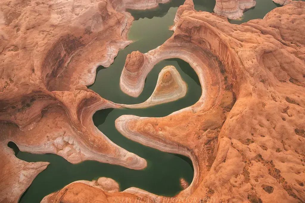
The trouble on the Colorado River doesn’t start in the desert cities that depend on it. It starts in the mountains where the snow simply isn’t falling the way it used to. The entire basin is experiencing what one hydrologist calls a persistent hot drought, distinguished by high temperatures in addition to low precipitation, a combination that causes more precipitation to fall as rain instead of snow and increases evaporation, both reducing the spring runoff that is the main source of water for the Colorado River.
The numbers from this year are stark. Lake Powell’s water year minimum probable inflow was forecasted at just 2.78 million acre-feet, 29% of historical average and one of the lowest on record. Both Colorado and Utah have battled severe snow droughts and record-warm summers in the past decade, while Wyoming fared better but still can’t avoid the strains on the system, and to the south in New Mexico, low snowpack and prolonged drought have also reduced flow. When the headwaters run short, every downstream community feels it eventually.
The Texas Panhandle and Southern Ogallala Aquifer
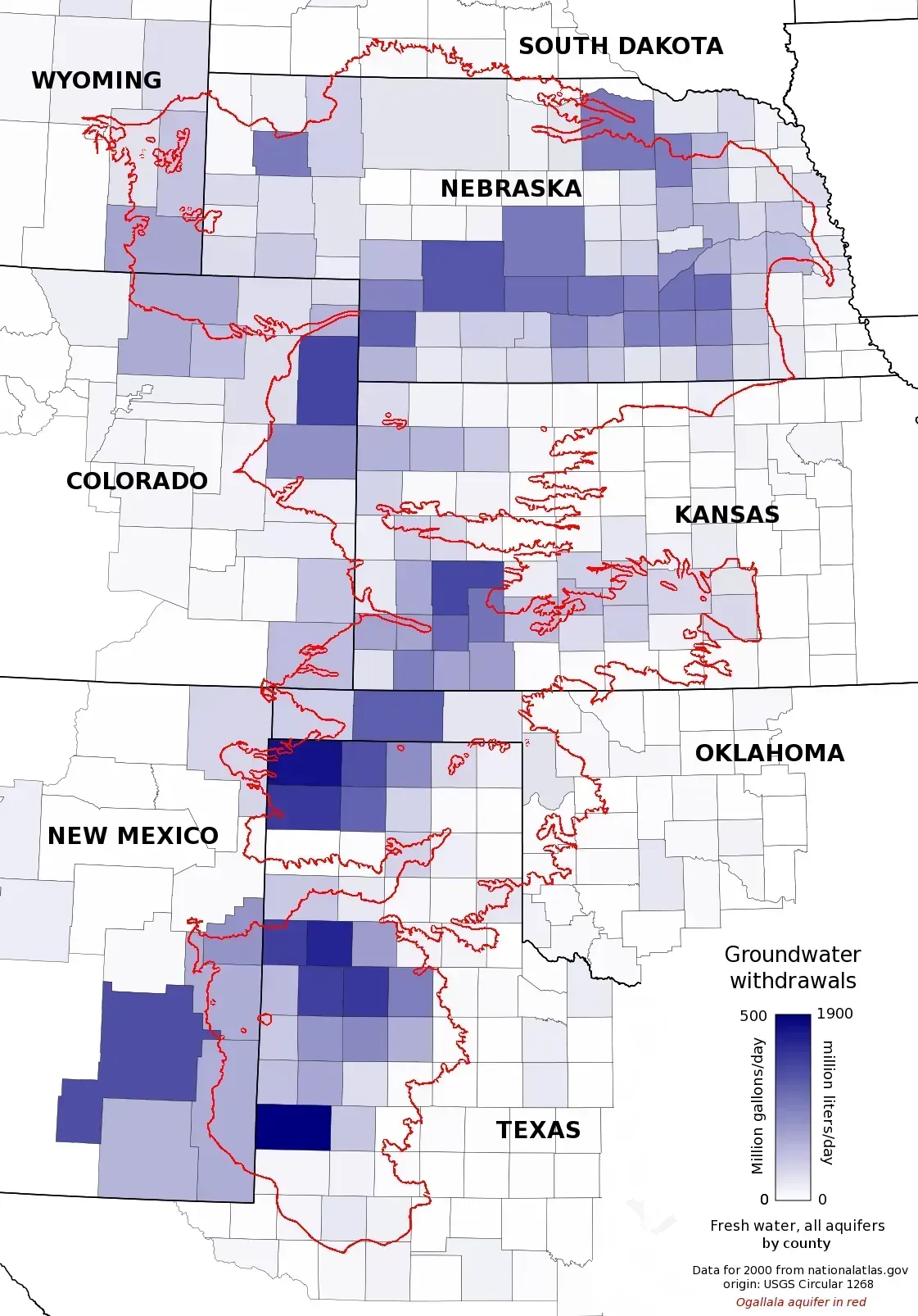
Beneath the flat farmland of the Texas Panhandle lies one of the most depleted sections of America’s largest groundwater system. Texas has experienced the largest cumulative groundwater losses within the Ogallala Aquifer, and in portions of the Texas Panhandle, groundwater levels have fallen by more than 200 feet since large-scale irrigation began. Some wells in the area no longer produce enough water to justify running them.
The trend isn’t reversing on its own. In the Texas Panhandle, 2025 measurements recorded an average decline of 0.66 feet, leaving an average saturated thickness of just 51 feet in monitored districts. Researchers modeling the region’s future note that projections from the University of Texas Bureau of Economic Geology suggest a majority of the aquifer here could lose most of its usable water within a matter of decades if pumping continues at current rates. Farmers in the Panhandle are increasingly making decisions about which fields still justify irrigation.
Western and Southwestern Kansas
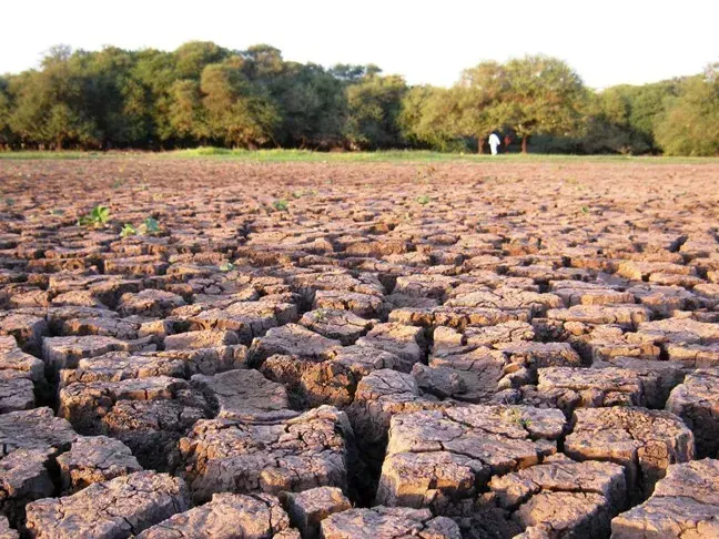
Just north of the Panhandle, southwest Kansas is recording some of the fastest single-year drops in the entire aquifer system. Southwest Kansas lost 1.52 feet of water in 2024 alone, marking its steepest single-year drop yet. That’s a striking number for a resource that recharges at a fraction of an inch per year in most of the region.
The imbalance between withdrawal and recharge in Kansas is not subtle. Roughly 3 million acre-feet were removed from the High Plains aquifer in Kansas between 2012 and 2021, with the Ogallala portion accounting for the majority against an average annual recharge of just 0.75 million acre-feet. Local groundwater management districts have started experimenting with pumping limits and precision irrigation, but data through 2025 confirm that groundwater depletion remains a dominant trend, though short-term weather patterns can create localized variation.
California’s Central Valley and San Joaquin Valley
California’s most productive farmland sits atop an aquifer system that has been sinking, literally, for a century. Since the 1920s, excessive pumping of groundwater at thousands of wells in California’s San Joaquin Valley has caused land in sections of the valley to subside by as much as 28 feet. That subsidence isn’t just a curiosity; it permanently damages the aquifer’s ability to hold water and threatens the canals that move supplies around the state.
State officials have quantified just how serious the long-term threat is. A recent technical report concluded that subsidence from over-pumping has already restricted the amount of water the State Water Project can deliver in a year by 3%, and by 2043, if no action is taken, the current trajectory of subsidence combined with climate change could reduce deliveries by 87%. Even under a more moderate scenario, the Delivery Capability Report found that without new adaptation actions, delivery capability could be reduced by as much as 23% in 20 years, a decline equivalent to the loss of nearly 500,000 acre-feet, enough to supply 1.7 million homes for a year.
The Rio Grande Basin (New Mexico and West Texas)
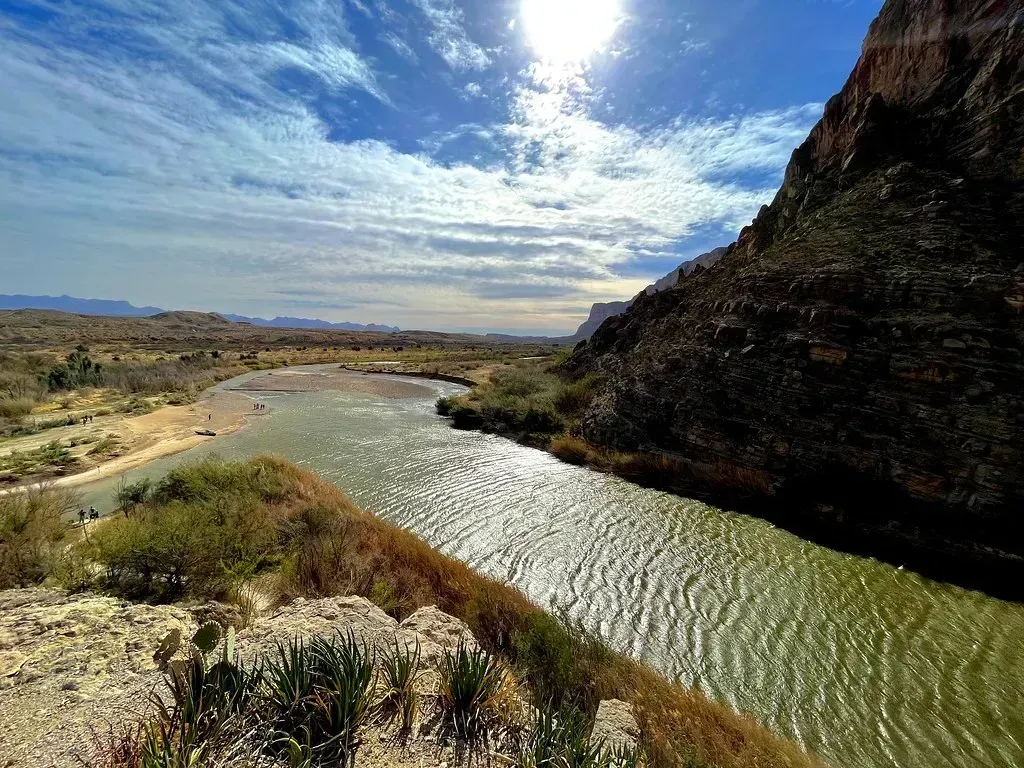
The Rio Grande has been under strain for so long that entire cities have restructured their water portfolios around its unreliability. El Paso Water Utilities, which typically relies on river water for half of its water supply, has been increasing supplies with new and renovated wells and increased production at its desalination plant. That kind of adaptation has become routine rather than exceptional in the basin.
The legal fights over the river’s dwindling flow tell their own story about scarcity. Texas is suing New Mexico for not delivering what it considers it is owed under the Rio Grande Compact, after irrigation releases to southern New Mexico were curtailed and irrigators pumped more groundwater, with Texas alleging that unsupervised groundwater pumping by New Mexico farmers is reducing the amount of Rio Grande water reaching Texas. When states are suing each other over a shared river, it’s a fairly reliable sign the underlying supply has stopped meeting demand.
Metropolitan Phoenix and Central Arizona
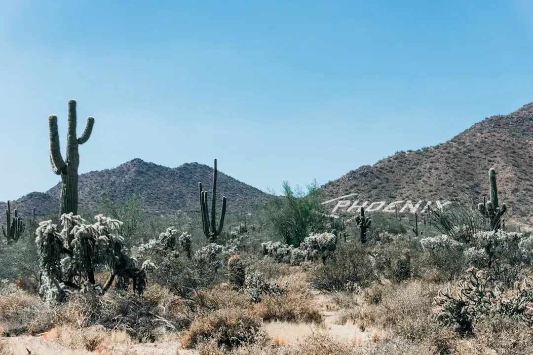
Phoenix has spent decades building a water portfolio meant to withstand exactly this moment, and it is now being tested. As of this year, 87% of Arizona is in drought, the Colorado River sits at just 36% capacity, and Phoenix is on a Stage 1 Water Alert. City officials continue to stress that the situation is manageable, but the trajectory is not comforting.
The city’s own numbers show how exposed it is to a single shrinking source. Phoenix gets approximately 40 percent of its water from the Colorado River, delivered through the Central Arizona Project, a 336-mile aqueduct system that moves water uphill from the river to the Phoenix and Tucson metro areas. Meanwhile, drought has spread with startling speed across the state: drought conditions classified at D1 or greater expanded by 53% over just the past three months as of the spring 2026 update. Local officials are already preparing residents for the next stage of restrictions, with the city anticipating going to “Drought Stage 2 – Water Warning” by the end of 2026.
Las Vegas Valley and Southern Nevada
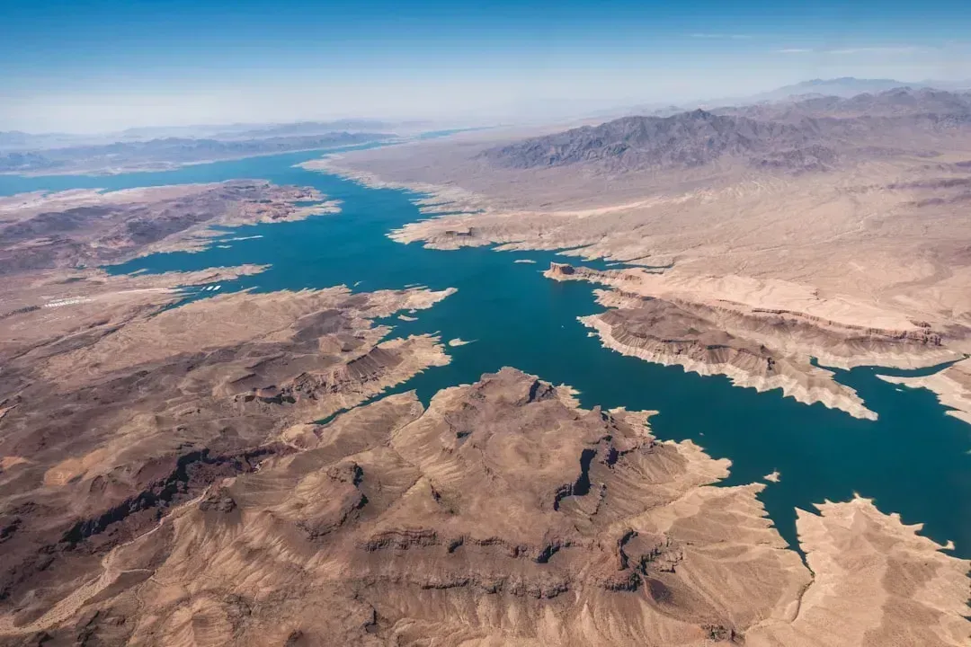
Southern Nevada has become something of a case study in aggressive conservation, though the underlying supply problem hasn’t gone away. Southern Nevada began 2026 under Tier 1 water shortage restrictions, a challenge that’s been dealt with before, and in fact water use has been declining even as population numbers keep going up. That decoupling of growth from water demand is one of the few genuine bright spots in the broader Colorado River story.
Still, the regional numbers underline how little margin remains. The elevation of Lake Mead has dropped by approximately 160 feet since 2000. Nevada’s mandatory conservation rules now touch nearly everything homeowners do outdoors, since mandatory seasonal water restrictions to reduce outdoor water consumption account for about 60 percent of Southern Nevada’s overall water use. Las Vegas has proven that a desert city can cut consumption significantly, but it can’t conserve its way around a river basin running dry.
The Rural High Plains of Nebraska, Oklahoma, and Eastern New Mexico
Even in Nebraska, long considered the healthiest part of the Ogallala system because of its thicker saturated zones, the picture has started to shift. A 2026 report from the University of Nebraska-Lincoln found that following years of persistent drought, 62% of measured wells in Nebraska recorded declines. That’s a notable change for a state that has generally weathered aquifer stress better than its southern neighbors.
Across the broader region, the underlying math hasn’t changed in decades, only the urgency has. Recharge rates in much of the region are less than an inch per year, far below the volume being extracted for irrigation. Longer-range modeling paints a sobering picture for the region’s farming communities: studies suggest that up to 40 percent of the aquifer may no longer be able to support irrigated agriculture within decades, while broader projections indicate significant depletion over the next half-century. For towns built around center-pivot irrigation, that’s not a hypothetical, it’s a planning problem already on the calendar.
What This Means Going Forward