

Ask most people to name the driest state in the country and they’ll probably guess Arizona, maybe Utah, or even New Mexico. The real answer surprises plenty of folks: it’s Nevada. Yet dryness and heat don’t always travel together, and Nevada’s story is a good reminder that a place can be desperately short on rain without necessarily topping the charts for scorching temperatures.
This gap between “driest” and “hottest” matters more than trivia night bragging rights. It shapes how states manage water, plan for drought, and brace for a warming climate. Understanding why Nevada holds the driest title, while other states claim the heat records, reveals a lot about geography, wind patterns, and the mountains that quietly control America’s weather.
Nevada’s Claim to the Driest Crown
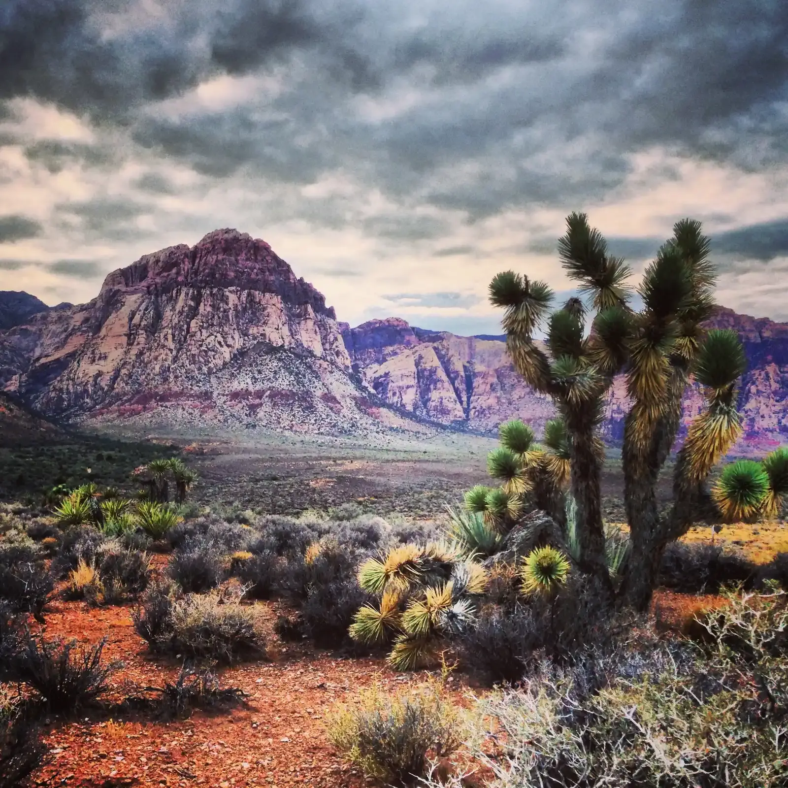
Nevada isn’t just dry, it’s in a category of its own. Nevada is the driest state in the nation, and the only state to average less than 10 inches of rain per year, while the national average is about 30 inches. Some regional climate summaries push that figure even lower. Nevada precipitation averages only 7 inches statewide, making it the nation’s driest state.
The exact number shifts depending on which dataset and time period you use, but the conclusion never really changes. Nevada is the Nation’s driest state, with statewide annual average precipitation from 1895 to 2020 only 10.2 inches. Whether you land on seven inches or ten, Nevada sits well below every other state in the union, and it isn’t particularly close.
The Sierra Nevada Rain Shadow Explains the Dryness
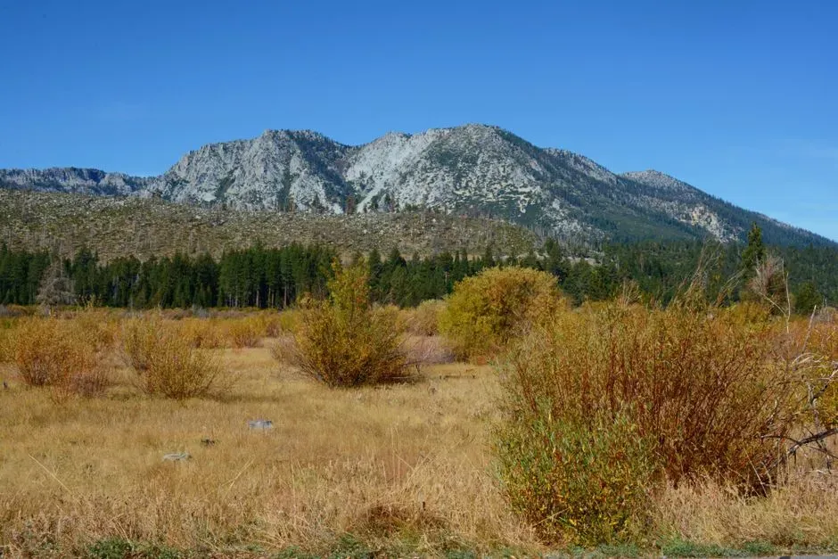
Nevada’s aridity isn’t some random quirk of climate. It comes down to geography, specifically the wall of mountains sitting just west of the state. The Sierra Nevada Mountains flank the state on its western border with California, which create a barrier for moist air trying to move over the mountains into Nevada, and as the jet stream travels eastward from the Pacific Ocean, the mountains tend to wring out most of its moisture before it reaches Nevada.
Weather scientists call this phenomenon a rain shadow, and it’s one of the most reliable patterns in American climatology. This “rain shadow” effect is a common feature of the most arid U.S. states and prevents Nevada from seeing more rainfall. Add to that the fact that Nevada’s many enclosed valleys also lack rivers that carry water toward an ocean, and you get a state where moisture simply has nowhere easy to go.
Dryness Does Not Equal Uniform Heat
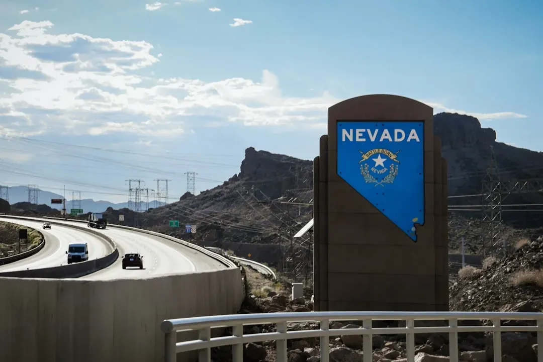
Here’s where the popular assumption breaks down. People tend to picture Nevada as an endless furnace, largely thanks to Las Vegas and its blistering summers. But statewide, Nevada’s climate is far more varied than its dry reputation suggests. Much of the state lies within the Great Basin, a region between the Rockies and the Sierra Nevada, encompassing numerous small mountain ranges and high-elevation desert valleys.
Those high-elevation valleys behave very differently from the Las Vegas Valley floor. Northern Nevada winters can be long and genuinely cold, while high desert nights anywhere in the state often swing dramatically from the daytime highs. This isn’t a state with one climate, it’s a patchwork of microclimates stitched together by elevation and mountain ranges, which is exactly why “driest” and “hottest” don’t automatically overlap.
Las Vegas and Reno: Two Faces of the Same Dry State
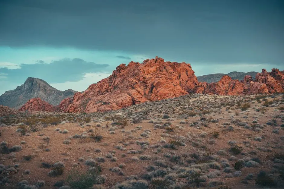
Nevada’s internal variation shows up clearly when you compare its two biggest cities. Las Vegas receives an average of fewer than 4.2 inches of rain per year while the state as a whole receives about 9.56 inches per year. That’s a city sitting well below even the already-low statewide average.
Reno tells a different story. Nevada’s dryness varies across regions, with Las Vegas receiving only about four inches of rainfall annually, while Reno and Elko get more precipitation, highlighting the state’s diverse climate. Reno sits closer to the Sierra Nevada itself, catching a bit more spillover moisture and experiencing noticeably cooler summers and colder winters than the desert valley around Las Vegas. Two cities, one state, two very different relationships with both rain and heat.
Where the Real Heat Records Live
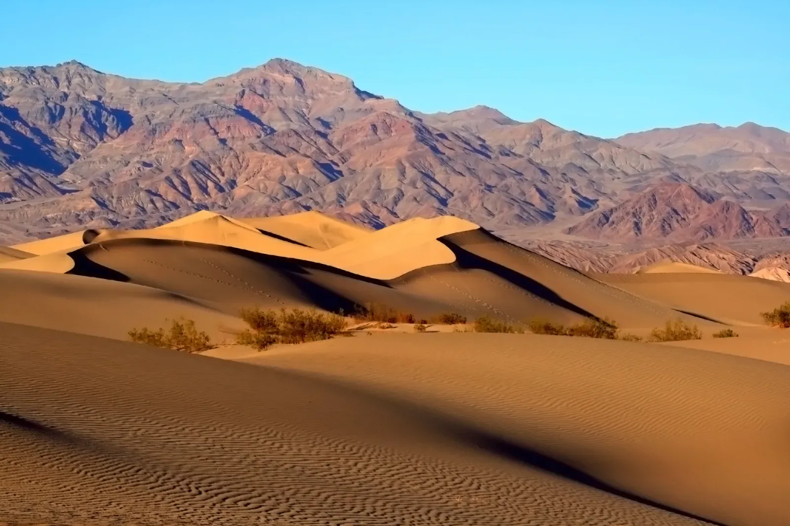
If Nevada isn’t necessarily the hottest state, where does that title actually belong? Death Valley, California, technically sits just across Nevada’s western border and holds one of the most extreme heat records on the planet. By the time air sinks into the valley floor it’s been wrung out and re-heated, which is also why Death Valley holds the hottest temperature ever reliably recorded. That’s a striking detail: the same mountain-driven process that dries out Nevada also helps bake nearby Death Valley into a heat record-holder.
Statewide average temperature rankings tend to favor states like Florida, which stays warm and humid nearly year-round without ever coming close to being dry. Arizona also routinely posts brutal summer highs in cities like Phoenix. The pattern is clear: the states that dominate “hottest” lists usually aren’t the same ones dominating “driest” lists, because heat depends on latitude and elevation just as much as it depends on moisture, or the lack of it.
Nevada’s Closest Competitors for Driest

Nevada may sit alone at the top, but it has close company. Utah is the second-driest state, with a statewide average near 12.2 inches. Like Nevada, Utah’s numbers hide huge internal variation. Parts of the Great Salt Lake Desert receive less than five inches annually, while some sections of the Wasatch Mountains collect more than 40 inches.
Arizona and New Mexico round out the next tier. New Mexico rounds out the top five least-rainy states with an annual precipitation total of roughly 14.6 inches, for many of the same reasons that Arizona and Nevada do: its inland location and the rain shadow effect of the West Coast’s mountain ranges. These four states form a loose cluster in the arid Southwest, all landlocked, all shaped by mountains that intercept moisture long before it reaches them.
The Surprising Cold-Weather Members of the Dry Club
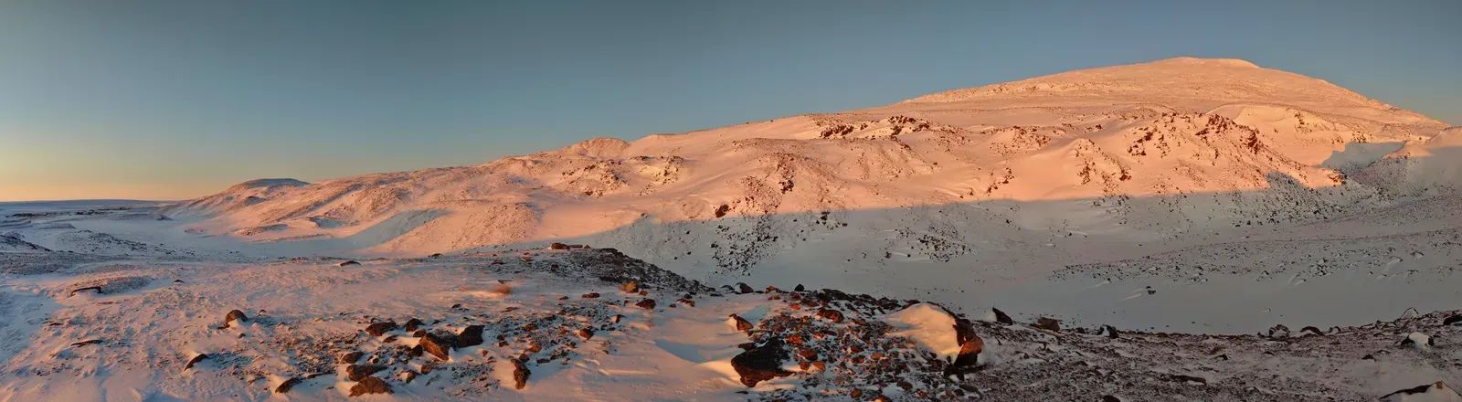
Not every dry state bakes under a desert sun. Some of America’s driest states are actually quite cold for large stretches of the year. Montana, the only northern state in the top five, may surprise some as a dry state, receiving an average only 14.39 inches of precipitation annually. That’s a state known for snowy mountains and harsh winters, not desert heat, yet it still ranks among the driest by total precipitation.
Wyoming and North Dakota tell a similar story. North Dakota is a place where almost every rain-stifling geographic effect occurs, from a cold climate and a far-inland location to a rain shadow effect, and with an average annual precipitation of 17.8 inches, it is the eighth-driest U.S. state. These northern plains states prove that dryness is really about geography and wind patterns, not sunshine and heat.
Drought, Water Supply, and a Warming Future
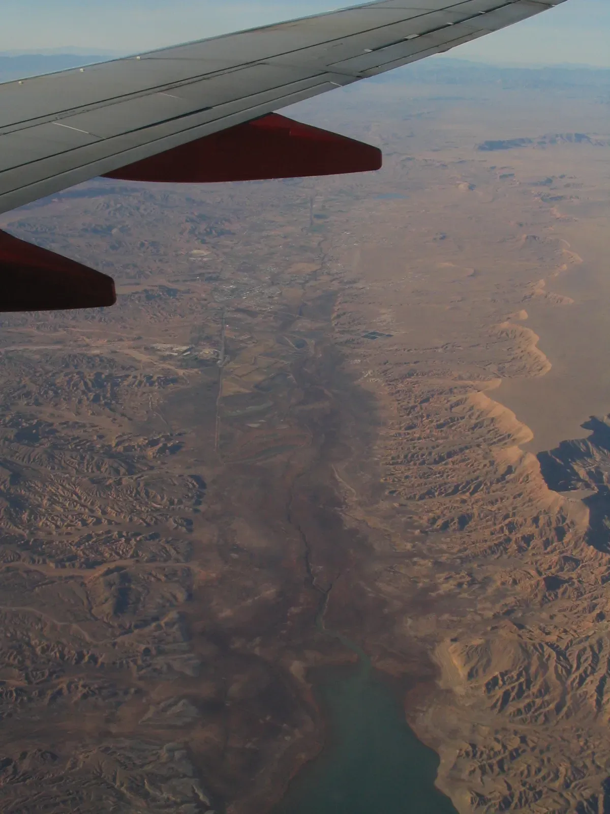
Nevada’s natural scarcity of rain has been made harder to manage by decades of drought and rising temperatures. Because of this natural scarcity of rainfall, along with overuse of reservoirs and hotter, dryer conditions brought on by climate change, Nevada has experienced drought in the majority of years since 2000, when the U.S. Drought Monitor began collecting data. That combination of chronic low precipitation and rising heat puts real pressure on the state’s water systems.
Most Nevadans don’t actually live off local rainfall at all. The majority of residents live in two concentrated urban areas, the Las Vegas and Reno-Sparks metro areas, which are supported by water from Lake Tahoe and the Colorado River, respectively. Looking ahead, the outlook stays uncertain. Nevada is the driest state in the United States, and future projections of annual precipitation are uncertain, while increases in temperature are projected to lead to reductions in late winter and spring snowpack, with potential negative impacts to water supplies.
Why the Dry Versus Hot Distinction Actually Matters
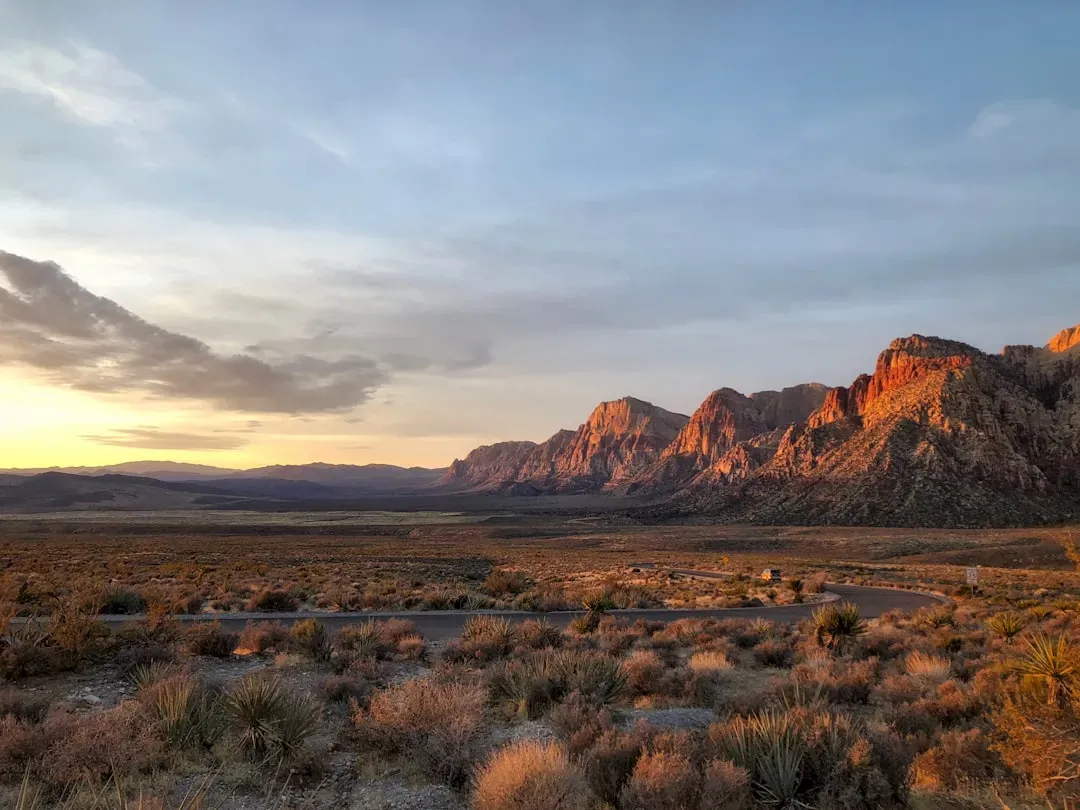
Conflating “driest” with “hottest” isn’t just a harmless mix-up, it can shape how people think about risk, water policy, and even where they choose to live. A state can be desert-dry and still have cool mountain nights, snowy winters, and dramatic temperature swings between day and night. Nevada embodies that contradiction better than almost anywhere else in the country.
The bigger lesson here is that climate labels rarely capture the full picture. Rainfall totals, temperature averages, and regional microclimates all tell different parts of the same story, and no single number sums up a state’s entire relationship with weather. Nevada wears the driest crown fair and square, but the hottest title belongs to other places entirely, a distinction worth remembering the next time someone assumes dry automatically means scorching.

- Flood and Cyclone Warnings: What Makes an Early Warning System Effective - October 14, 2026
- Saharan Dust Over Europe: What It Means for Air Quality and Sunsets - October 14, 2026
- Climate Normals: The 30-Year Averages Behind Every “Above Average” Forecast - October 14, 2026
