


- The Planet Where It Rains Liquid Glass – 7 Alien Worlds Defying Known Physics - November 14, 2026
- Stars Consuming Entire Worlds – 6 Planetary Systems Swallowing Their Own Worlds - November 14, 2026
- The Ground Liquefies Like Water – 6 Silent Fault Lines Geologists Watch Closely - November 14, 2026
Most people can name a handful of earthquake hot spots from memory: California, Japan, Turkey. These places dominate headlines after major events, and they’ve earned their reputations. What rarely makes the news, though, are the places where seismic danger is just as real but public awareness is vanishingly low.
The gap between geological reality and public perception is where lives are most at risk. The growth of megacities in seismically active regions around the world often includes the construction of seismically unsafe buildings and infrastructure, driven by an insufficient knowledge of existing seismic hazard and economic constraints. These seven regions sit quietly on that fault line between awareness and danger.
The New Madrid Seismic Zone, Central United States
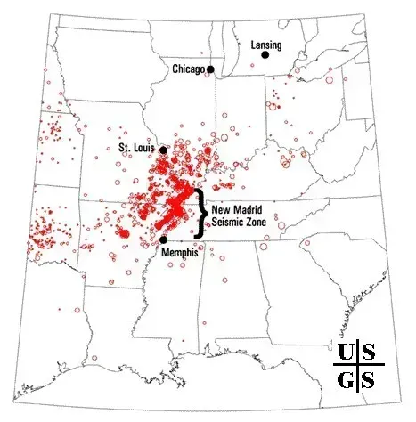
The New Madrid Seismic Zone is the most active seismic zone in central and eastern North America. The 1811 to 1812 earthquake sequence produced three magnitude 7-plus events that reportedly rang church bells in Boston and temporarily reversed the flow of the Mississippi River. Most Americans who live across this region – spanning parts of Tennessee, Arkansas, Missouri, Illinois, and Kentucky – have little reason to think about earthquakes in their daily lives.
The New Madrid Seismic Zone has a lower frequency of large earthquakes compared to West Coast faults, but the impact area of a quake there would be far larger due to the geology of the North American continent. Because the crust in the central United States is old, cold, and rigid, seismic energy travels much more efficiently than it does in California. Studies of a major earthquake in this region projected that a magnitude 7.7 event would cause over 86,000 injuries or deaths, damage 715,000 buildings, and knock out power to 2.6 million homes.
The Cascadia Subduction Zone, Pacific Northwest

The Cascadia Subduction Zone is a 1,000-kilometer megathrust fault stretching from northern California to British Columbia. Its last full rupture in 1700 produced a magnitude 9.0 earthquake and a tsunami that reached Japan. It is considered overdue for another major event. Despite this, millions of residents in Oregon and Washington remain largely unprepared for what geologists consider inevitable.
The National Seismic Hazard Model suggests there is a 15 percent chance a magnitude 8.0 earthquake or stronger will rupture along the zone’s margin within the next 50 years. When the fault rips, experts have said, it will precipitate the worst natural disaster in the nation’s history. Entire coastal shorelines are expected to drop by as much as six and a half feet when the earthquake strikes, and researchers have found it could affect more than double the number of people, structures, and roads currently considered at risk.
The East African Rift Valley
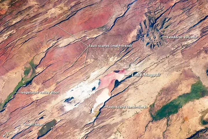
East Africa is home to the 6,000-kilometer-long Rift Valley System, the largest continental seismic rift system on Earth. The sub-region covers 5.5 million square kilometers and is inhabited by roughly 120 million people. The combination of rapid urbanization and very limited earthquake-resistant construction makes this one of the most underappreciated risk concentrations on the planet.
In 1989, a 6.2-magnitude earthquake that struck Malawi killed 10 people and caused 28 million dollars in economic losses. The same event today could kill as many as 1,500 people and cause up to 250 million dollars in losses – a direct reflection of how fast population density and structural vulnerability have grown. If the processes occurring in the East African Rift were to destabilize the most dangerous volcanoes in the region, such as Nyiragongo, the consequences could be severe not only for the continent but for the entire world.
The Dead Sea Fault Zone, Middle East
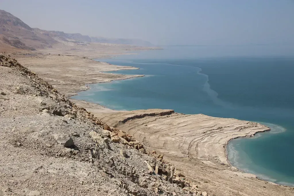
The Dead Sea fault system and its branching faults represent one of the most tectonically active regions in the Middle East. On February 6, 2023, the magnitude 7.8 Kahramanmaraş earthquake reactivated the main trace of the East Anatolian Fault Zone, generating an approximately 375-kilometer-long surface rupture that drew renewed scientific attention to the seismic stresses building along the connected Dead Sea system.
The seismic-slip budget along the Dead Sea fault shows that a slip deficit of at minimum two meters has accumulated, which suggests that an earthquake cluster might happen over the entire region in the near future. This heightened seismic hazard potential, combined with historical population centers experiencing wars and migrations, puts millions of people at an unparalleled risk. Infrastructure across parts of Jordan, Lebanon, Israel, and Syria was largely built without accounting for this level of accumulated strain.
The Wasatch Front, Utah
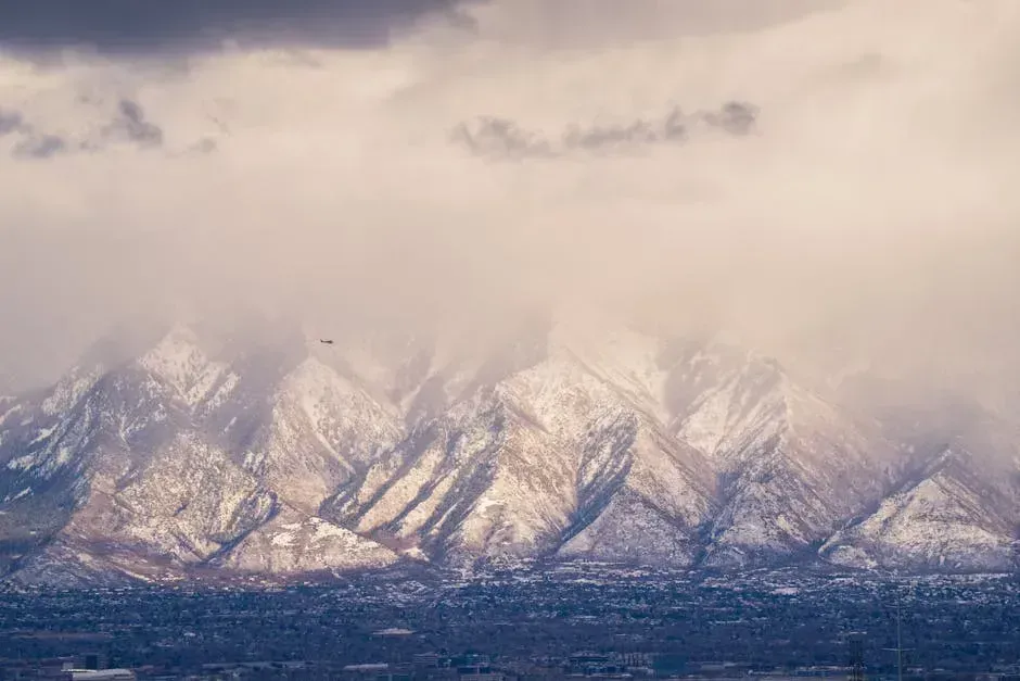
The Wasatch Range in Utah is among the U.S. regions likely to experience strong shaking in the future, according to the USGS National Seismic Hazard Model. Salt Lake City sits directly atop the Wasatch Fault, a normal fault system capable of producing major earthquakes, yet the area receives a fraction of the earthquake preparedness attention directed at California.
Almost 15 percent of the U.S. population is considered “somewhat likely” to experience a damaging earthquake in the coming decades, according to the recently published U.S. National Seismic Hazard Model. Utah’s urban corridor is a notable part of that calculation. The Wasatch Fault has not produced a major rupture in recorded history, which paradoxically makes it more dangerous: the stress has been accumulating quietly for centuries, and the region’s building stock was not historically engineered with seismic events in mind.
Southern Malawi and the East African Rift’s Southern Arm
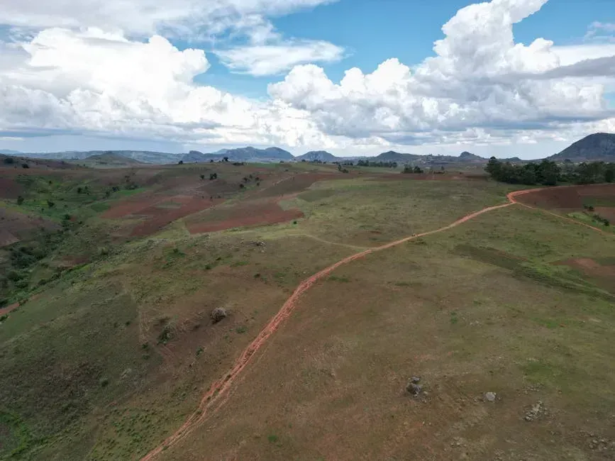
Scientists have developed a new approach for estimating seismic hazard in southern Malawi, a region in the East African Rift zone with minimal earthquake records. In regions lacking instrumental records of historical earthquakes, key details of past shaking events are often missed, including the probable locations of earthquakes, their magnitudes, and how often they occur. This data gap itself is part of the problem: without a strong historical record, governments and planners routinely underestimate what the ground beneath them is capable of.
Border faults of rift valleys in this area are large, between 50 and 100 kilometers long, and could potentially produce large earthquakes between magnitude 6.5 and 7.8. Malawi, Mozambique, and Tanzania all sit within range of these fault systems, and each has seen rapid urban growth concentrated in areas with little to no seismic building code enforcement. The hazard is real. The public conversation, in most of these countries, has barely started.
The Atlantic Coastal Corridor, Eastern United States
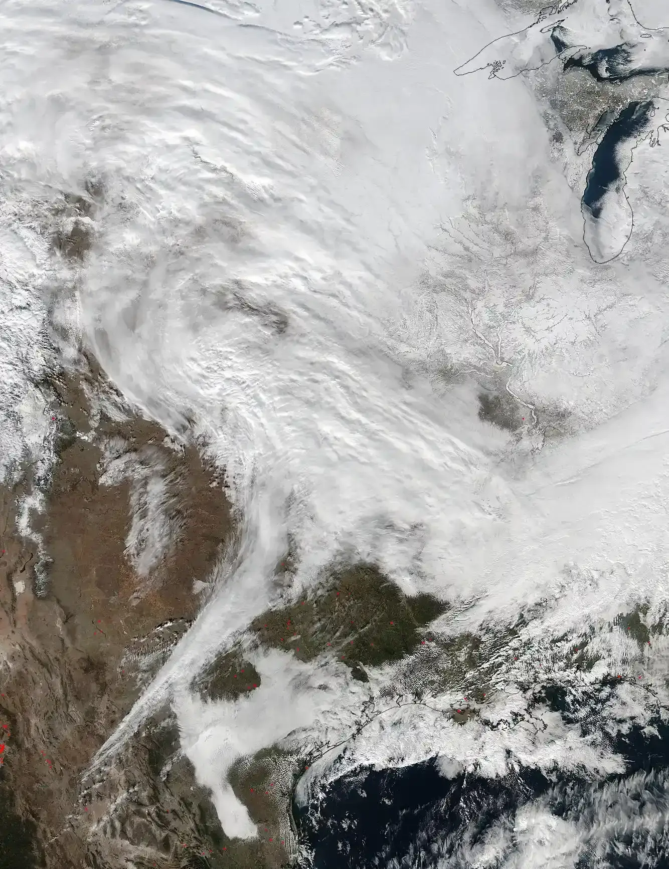
The updated National Seismic Hazard Model raises the possibility of damaging earthquakes in the Atlantic coastal corridor, which includes Boston, New York, Philadelphia, and Washington, D.C. Although the seismic hazard in the area is still generally low, the corridor is densely populated, so an increased hazard affects a large number of people. The sheer concentration of people, critical infrastructure, and aging buildings amplifies what might otherwise be considered a modest geological threat.
A report released by the U.S. Geological Survey and the Federal Emergency Management Agency found that earthquakes cost the country roughly 14.7 billion dollars in building damage and associated losses annually. Most of that figure is driven by California, but the Atlantic corridor represents a specific concern precisely because its residents and its buildings have no earthquake tradition at all. A moderate event in a place that never expected one can cause damage – and panic – far out of proportion to its magnitude on a seismograph.
