

Ask most people to name the state with the worst wildfire problem, and California comes up almost automatically. The images are familiar: smoke-filled skies over Los Angeles, hillsides stripped bare, entire neighborhoods reduced to ash. Yet when researchers strip away population size and simply ask what percentage of a state’s homes could realistically burn, a much less obvious answer rises to the top.
That state is Wyoming, and the reasoning behind its ranking says a lot about how wildfire risk actually works once you move past headlines and look at the underlying math.
Why Wyoming tops the list
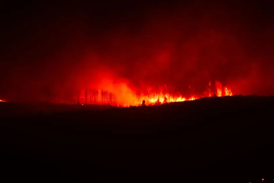
According to CoreLogic’s widely cited wildfire risk analysis, Wyoming is the U.S. state most at risk for wildfire-related property loss, with an estimated percentage of total housing units that could burn at least once over a 50-year period higher than any other state. That is a striking finding given how rarely Wyoming appears in national wildfire headlines compared to its western neighbors. The explanation is straightforward once you consider the numbers involved.
California regularly records the highest number of acres burned in the country, yet it was not among the most at-risk states in this particular ranking because it has a significantly larger housing stock than its neighbors. Wyoming’s population is tiny by comparison, so a wildfire season that burns the same relative share of land translates into a far bigger percentage of homes exposed. Scale changes everything.
A different way of measuring risk
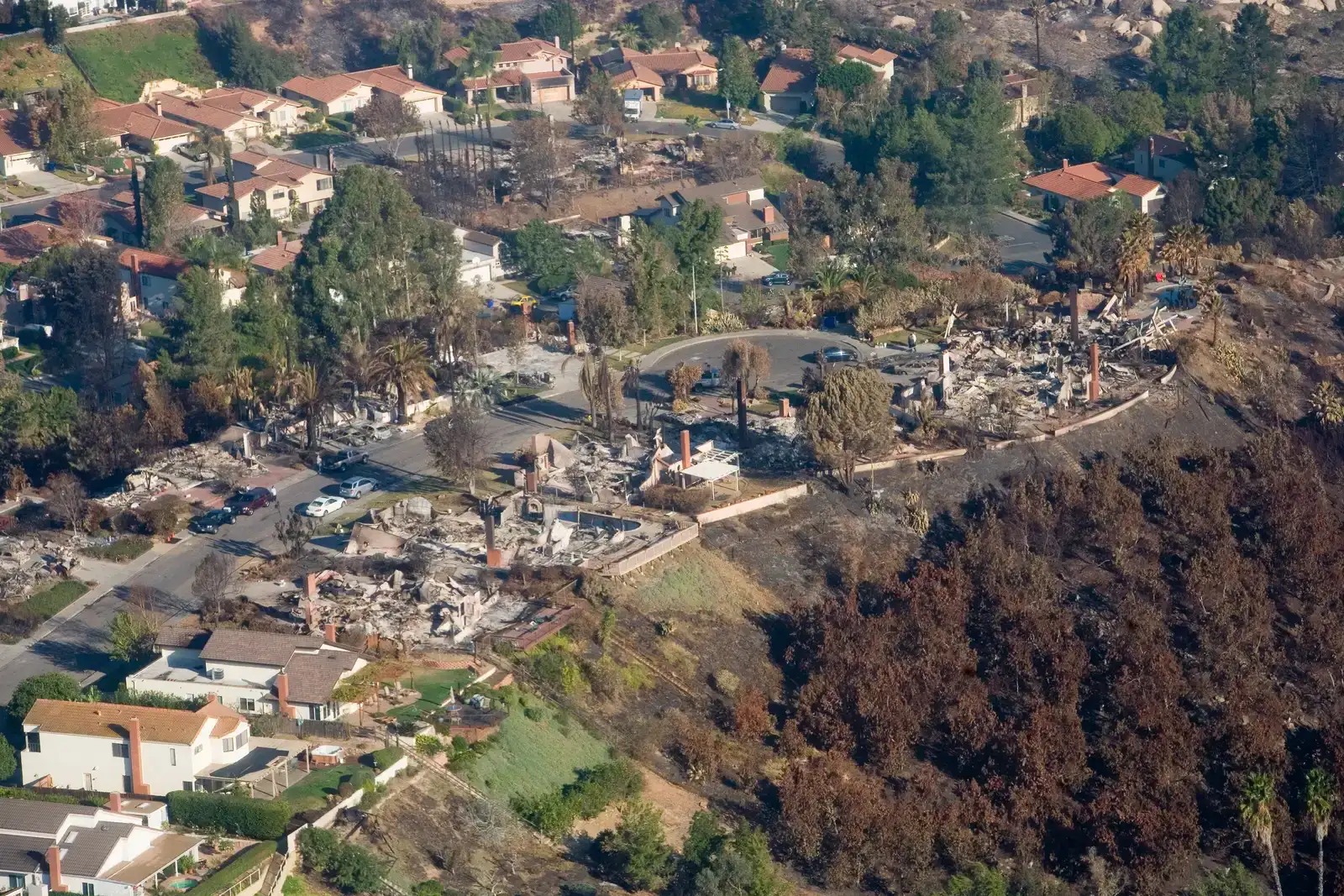
Total acres burned makes for dramatic news coverage, but it is not the only lens worth using. A separate CoreLogic report from a few years back approached the question differently, asking how a state’s small size and limited housing stock affect recovery after a major fire.
If a fire destroys 800 homes in California, the road to recovery is not the same as 800 homes burning in Wyoming, since the number of homes at risk represents a much larger fraction of the total housing stock, potentially elongating recovery times and straining local workers, hotels, and housing options. In other words, a fire that would barely dent California’s overall housing market could functionally overwhelm a small Wyoming county. That distinction, between raw damage and proportional damage, is exactly why Wyoming keeps surfacing at the top of these analyses even though its total wildfire numbers look modest next to California’s.
A landscape built to burn
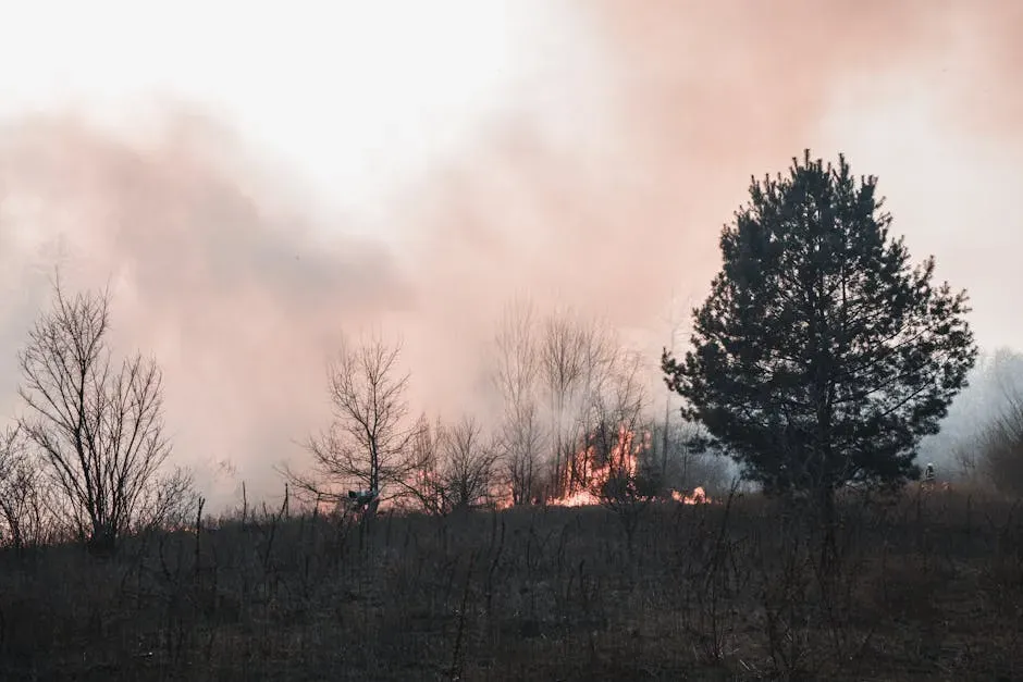
Wyoming’s geography does it no favors. Vast stretches of dry grassland, sagebrush steppe, and high-elevation forest cover much of the state, and wildfires are common in Wyoming and are a natural part of the state’s ecology, with hot, dry conditions from spring through fall increasing fire risk. Wind is the other major factor. Gusts that regularly top fifty or sixty miles an hour can turn a small ignition into a fast-moving front within hours.
Beetle infestations have compounded the problem for more than a decade. Dead, standing timber left behind by mountain pine and spruce beetles provides exactly the kind of dry fuel that lets fires spread quickly once they start. Combine that fuel load with Wyoming’s wind and low humidity, and you get a state where fire behavior can shift from manageable to dangerous almost overnight.
The Mullen Fire and a warning from 2020
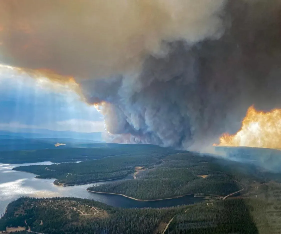
Wyoming’s largest fire on record remains a useful case study for understanding what the state is up against. The Mullen Fire consumed 176,878 acres near Laramie in 2020, spreading into parts of Colorado after starting on September 17 and reaching 97 percent containment months later, fueled by dry, standing dead trees left behind by beetle infestation. The cause was never determined. Wind gusts topping seventy miles per hour spread the fire with alarming speed, and the cost of fighting it reached over forty-one million dollars, with destroyed property and ecosystem damage exceeding that figure. For a state with Wyoming’s population and tax base, that kind of price tag lands hard. It also previewed a pattern that has only intensified since.
Records keep falling
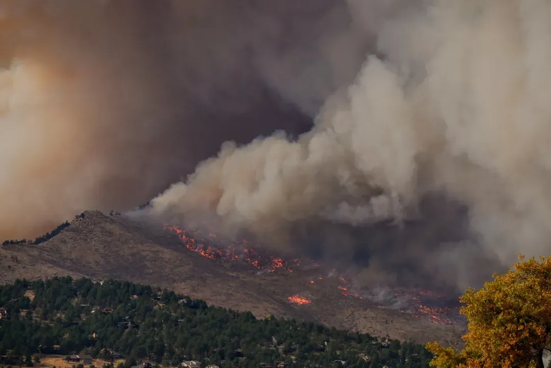
If 2020 looked like an outlier at the time, recent years suggest it was closer to a preview. Wyoming’s 2024 season stood out as particularly severe, and by early 2026 officials were already describing conditions as historically dry. Wyoming’s wildfire season started off early and active in 2026, with approximately 240 fires burning 12,450 acres by early April, tracking double the number of wildfires and six times the acres burned compared to the prior year, itself the second-largest wildfire season on record. A paleoclimatology professor at the University of Wyoming who studies fire history in the Rockies has pointed to a longer fire season as a key driver behind “this massive increase in the number of fires,” noting that a big part of it comes down to the season simply stretching longer than it used to.
Federal land, limited resources
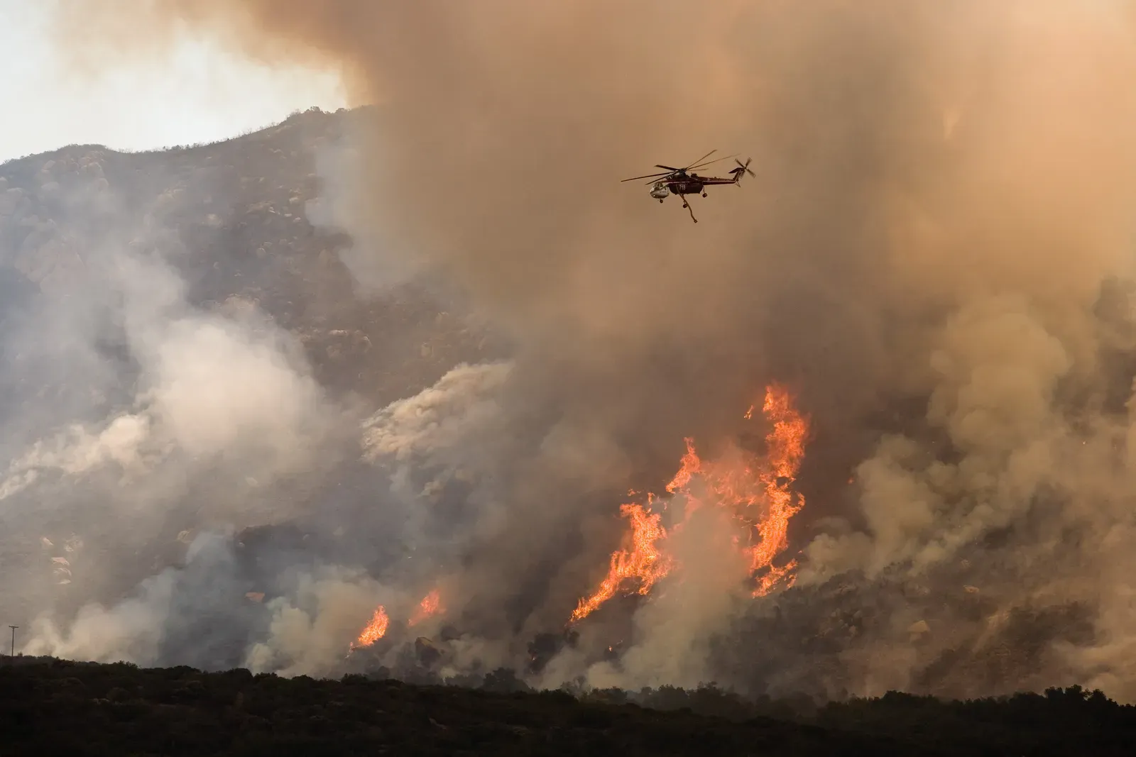
Nearly half of Wyoming’s land belongs to the federal government, which shapes how wildfires get managed and who pays to fight them. Forty-eight percent of the state is federally owned, with the Bureau of Land Management overseeing eighteen million acres and the U.S. Forest Service managing roughly nine million more. That arrangement means suppression decisions often depend on coordination between multiple agencies rather than a single state authority. Wyoming’s own firefighting apparatus is comparatively lean. Wyoming State Forestry is an extremely small organization that depends almost exclusively on local county volunteers and federal partners for initial attack, supporting the response with helitack crews, single engine air tankers, and an inmate conservation crew. That is a modest toolkit for a state facing increasingly aggressive fire seasons.
The wildland urban interface keeps expanding
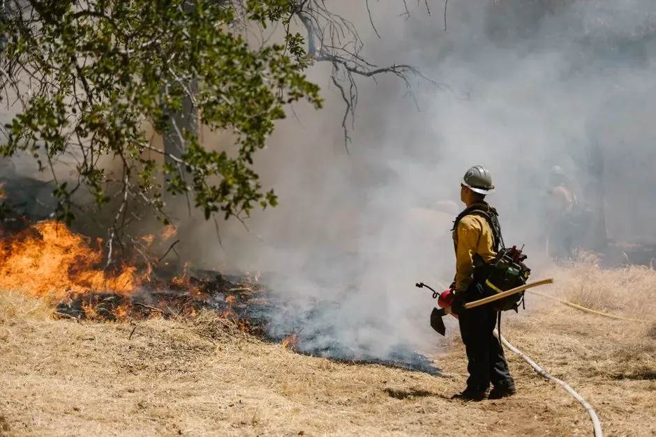
Part of what makes Wyoming’s risk profile so concerning is not just the fires themselves but where people are choosing to live. Development has crept steadily into forested and high-fuel areas over the past two decades, a pattern state officials track closely. Throughout Wyoming, the wildland urban interface is growing rapidly into densely packed forests with increasing fuel loads and hazardous conditions, significantly increasing the potential for catastrophic wildland fires across the state.
To help communities plan around that growth, the state built a dedicated online tool. The Wyoming Wildfire Risk Assessment Portal delivers a web-based application designed to give communities, fire departments, emergency planners, and land management agencies immediate access to calibrated wildfire assessment data. It is a practical response to a problem that will not shrink on its own as more homes get built along forest edges.
Wyoming versus its western neighbors
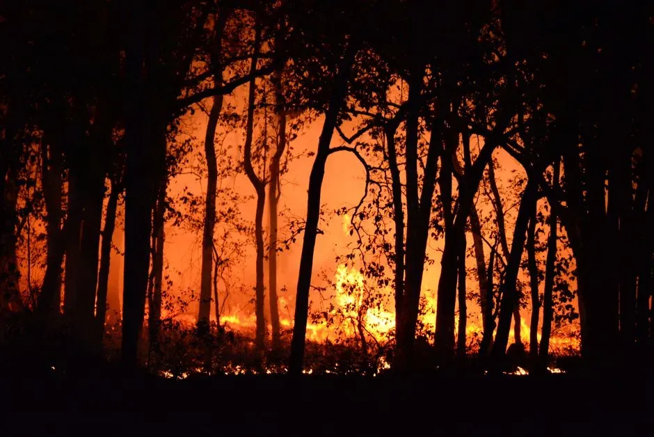
Wyoming does not stand alone in this conversation. A 2021 CoreLogic report grouped it with Idaho as the two states facing the steepest disproportionate risk, largely for the same housing-stock reasons. By analyzing risk through a housing stock comparison lens, CoreLogic identified Wyoming and Idaho as the states most at risk for a prolonged wildfire recovery.
Other states carry heavier headline numbers without necessarily facing the same proportional exposure. California, Oregon, Colorado, Texas, and Arizona are generally cited as the states most prone to wildfires, sharing characteristics like vast areas of flammable vegetation, dry climates, and frequent high winds. Wyoming shares nearly all of those same conditions, just with a housing base small enough that any serious fire season shows up disproportionately in the statistics.
What this means for insurance and homeowners
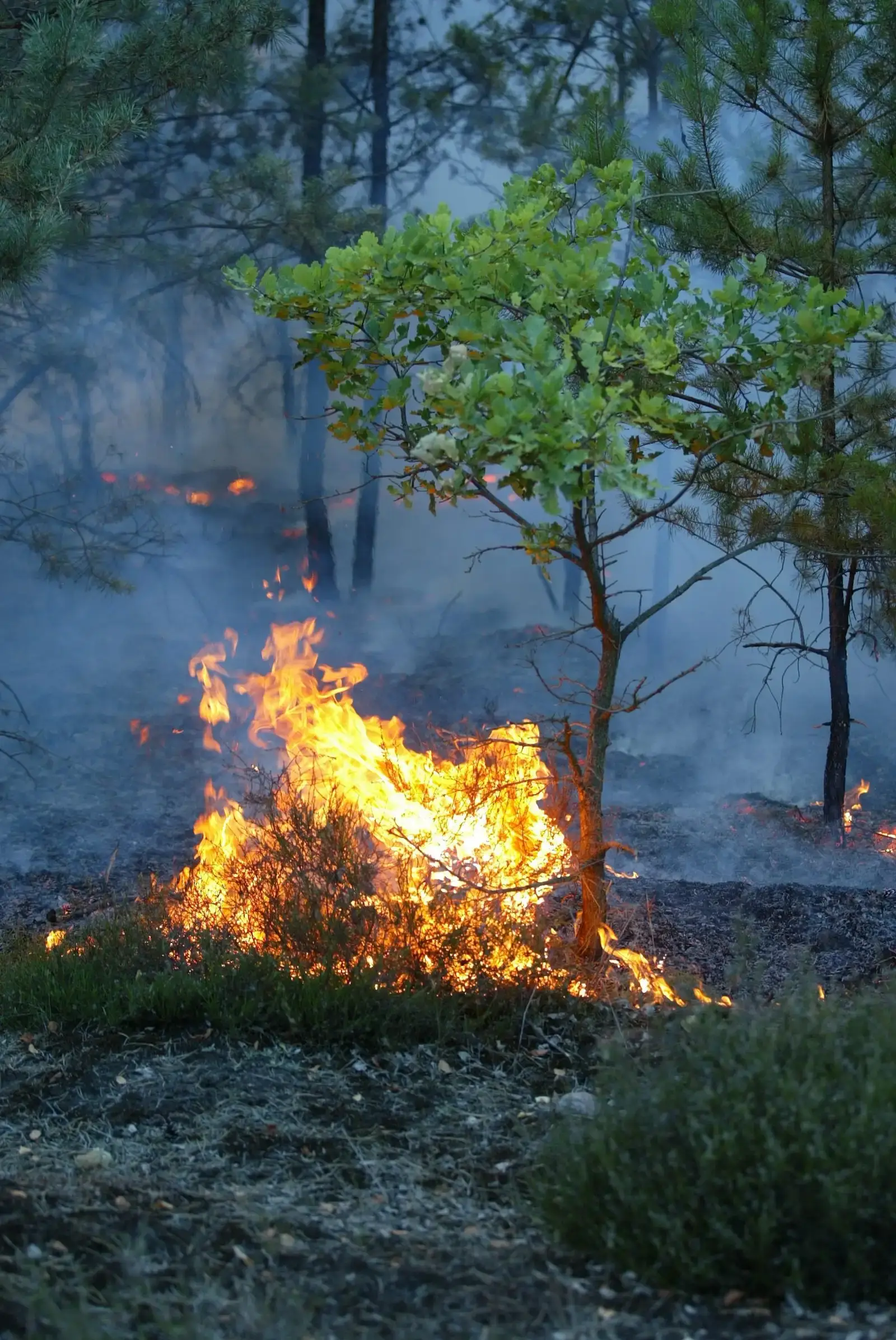
Wildfire risk eventually shows up on a homeowner’s insurance bill, and Wyoming residents are not immune to that trend even if their state avoids national headlines. As fire seasons stretch longer and burn hotter, insurers across the West have grown more cautious about underwriting properties near forested or grassland edges. Local fire departments have started adjusting their own operations in response to tighter conditions. As one Wyoming fire official put it while describing this year’s unusually early and dry season, crews expect to be managing elevated risk continuously through the summer because fuels are critically low as far as fuel moisture goes, coupled with high winds, creating what amounts to a recipe for rapid fire growth. That kind of language, coming from someone fighting fires on the ground rather than analyzing spreadsheets, tends to carry weight.
Preparing for a fierier future
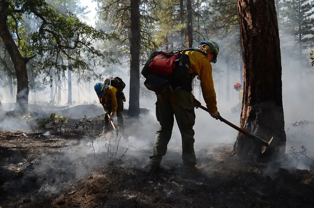
Wyoming officials are not simply reacting to each fire season as it arrives. There is growing interest in prescribed burning and fuel treatment as long-term strategies, though implementing them at scale remains difficult given the state’s limited resources and the inherent risk involved in intentionally setting fires. Despite research showing low-intensity prescribed burns could prevent megafires across vast areas of forested land in the state, it is unlikely to become a tool Wyoming can wield without outside help, given the state agency’s limited resources for prepping and implementing prescribed fire. That gap between what the science recommends and what the state can actually fund captures much of the challenge Wyoming faces going forward.
Final thoughts
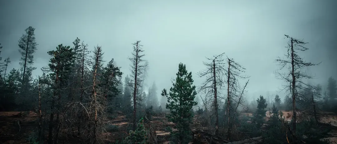
Wyoming’s wildfire story does not fit the usual narrative built around California’s massive, camera-ready infernos. It is quieter, tucked into county-level statistics and housing stock ratios rather than viral footage. Yet by the measure that matters most to the people who actually live there, the share of homes that could realistically burn, Wyoming carries a risk that outpaces even the state most associated with fire in the American imagination.

- Insurers Ranked Every State by Climate Risk – This One Came in Dead Last - August 18, 2026
- I Asked 3 Water Engineers How Bad the Next Drought Will Be – Their Answers Didn’t Match - August 18, 2026
- The Real Reason Some Cities Are Becoming Unlivable in Summer – And It’s Not Just Heat - August 18, 2026
