

Two vulnerable coastlines, two different geographies
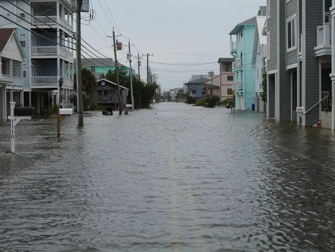
Boston’s flood risk runs along roughly 47 miles of coastline, a compact urban edge that touches East Boston, Charlestown, Dorchester, the North End, downtown, and South Boston. The plan focuses on the city’s shoreline in East Boston, Charlestown, Dorchester, downtown, the North End, and South Boston. That compactness gives Boston a somewhat easier planning problem, since a handful of chokepoints control much of the water entering the city.
New York’s exposure is far larger and more fragmented, spanning hundreds of miles of shoreline across five boroughs, tidal estuaries, and tributaries. NYC coastal resilience work now covers roughly 520 miles of shoreline citywide. That sprawl means New York cannot rely on one or two structures the way a smaller harbor city might, which has pushed its planners toward a patchwork of neighborhood-scale projects layered underneath a much larger regional proposal.
Boston’s new ten billion dollar Army Corps blueprint
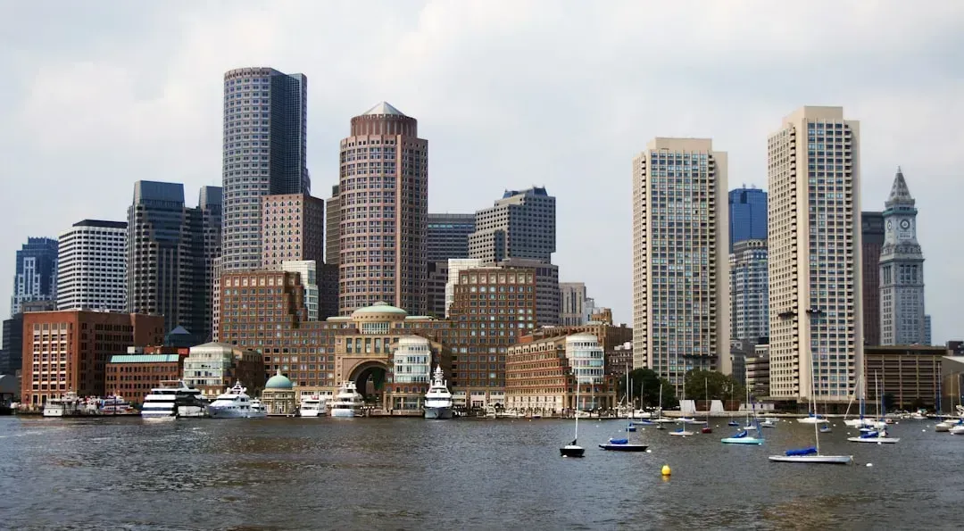
In July 2026, Boston and the U.S. Army Corps of Engineers unveiled the most significant flood plan the city has ever produced. Boston officials released a summary of a $10 billion draft plan to build defenses fortifying the city’s 47 miles of coastline against flooding and sea level rise, with the Army Corps set to issue a full report after four years of development. The plan lays out 20 distinct projects rather than one signature structure. It recommends 20 specific projects to shore up the most flood-prone parts of Boston, with some 20,000 buildings and more than a quarter-million residents depending on it.
The financial case is framed around avoided losses rather than new spending for its own sake. The Army Corps estimates that Boston would face more than $54 billion in losses between 2040 and 2090 if it does not act, including damage to critical infrastructure and businesses. Officials have also pointed out that key transit and health assets sit in harm’s way. Logan Airport, the Mass Pike, the MBTA, and hospitals are all vulnerable to flooding. A public comment window for the draft plan runs through mid-September 2026, meaning the design is still very much in flux.
New York’s East Side Coastal Resiliency, the flagship already under construction
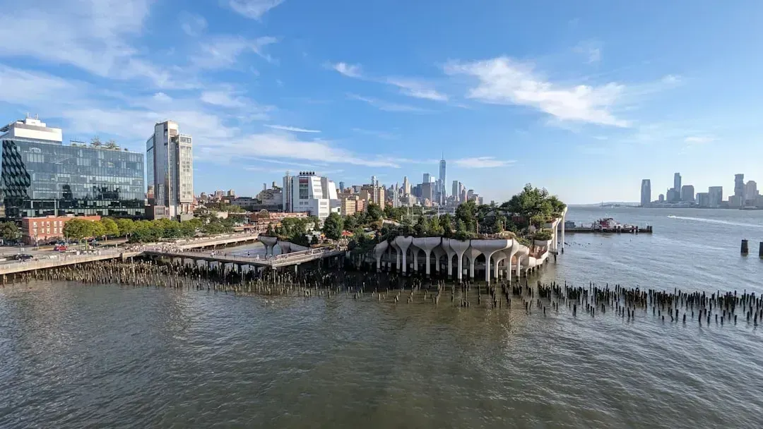
Unlike Boston’s draft, New York’s marquee project is not a proposal on paper but a structure rising along the East River right now. The city’s first major coastal flood protection system, the $1.45 billion East Side Coastal Resiliency project, features raised parkland, floodwalls, and 18 swinging or sliding flood gates to create a continuous line of protection. The project reshapes the old East River Park into a working flood barrier disguised as public space. After a $1.45 billion makeover, East River Park uses massive sea walls and earthen berms, with high concrete walls and floodgates serving as a critical line of defense against extreme weather.
The human stakes attached to this single project are considerable. ESCR will come online next year and protect more than 110,000 New Yorkers, including approximately 28,000 public residents, on the Lower East Side from storms. A companion effort just to the south extends that same logic further down Manhattan’s edge. The Brooklyn Bridge-Montgomery Coastal Resilience project directly adjoins East Side Coastal Resiliency and extends a mile from the Brooklyn Bridge to Montgomery Street, set to be completed in 2026.
The harbor-wide barrier Boston studied and quietly shelved
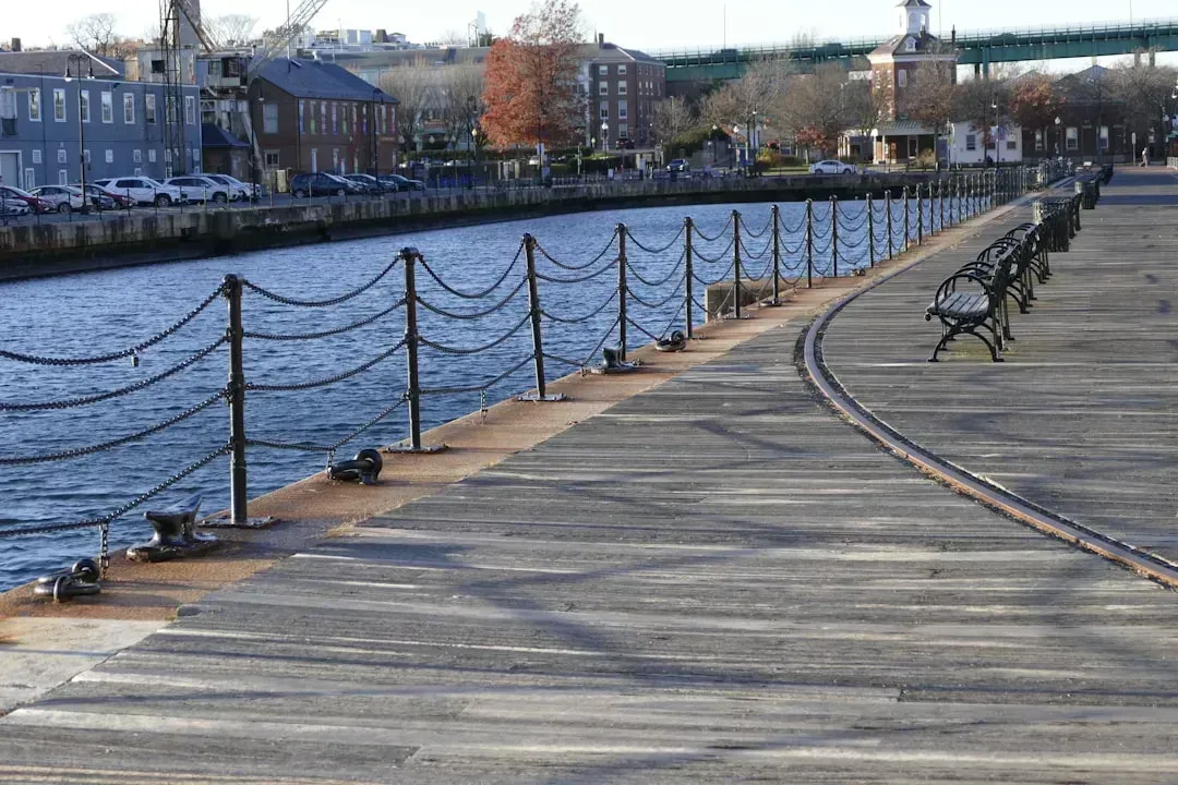
Boston once flirted with the idea of a massive gate system sealing off the harbor itself, an idea that ultimately failed its own cost test. A city-commissioned analysis examined an Inner Harbor Barrier stretching from Logan Airport to the Seaport, estimated at up to $8.7 billion, and an Outer Harbor Barrier covering 3.8 miles from Winthrop to Hull, estimated at up to $11.8 billion. The verdict was blunt. The report’s executive summary concluded that neither barrier system appeared to be cost-effective.
That conclusion did not end the debate entirely, since regional advocates still argue a gated system is the only reliable answer to storm surge. A coalition of harbor municipalities has pushed for an in-depth feasibility study of a “layered defense,” pairing local land-based sea walls for gradual sea-level rise with a regional sea gate system to guard against storm-surge devastation. They point to a smaller-scale precedent nearby. New Bedford’s harbor is considered the safest on the East Coast because of a hurricane barrier built in the 1960s. Boston’s official plan, for now, has sided with the smaller, distributed approach rather than one giant gate.
New York’s fifty two billion dollar regional gate proposal
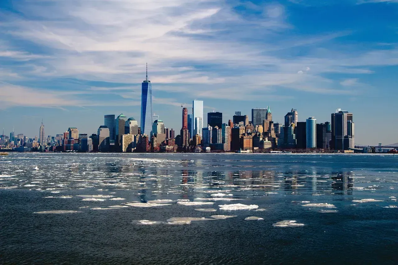
While New York has avoided a single mega-barrier at the neighborhood level, the Army Corps has spent years developing something far larger for the entire harbor. The U.S. Army Corps of Engineers released a report detailing a proposed $52 billion plan to protect the New York City metropolitan area from storm surges, centered on Alternative 3B, a 14-year construction project that would build 12 storm surge gates across major waterways around the region. These gates would sit across some of the busiest and most ecologically sensitive waterways in the region. They would be located in Jamaica Bay, Coney Island Creek, Newtown Creek, the Gowanus Canal, Sheepshead Bay, Gerritsen Creek, Flushing Creek, and between New Jersey and Staten Island.
The plan traces directly back to Superstorm Sandy, which remains the region’s defining flood event. More than a decade after Sandy killed scores of people and caused billions of dollars in damage, roughly 17 percent of New York City was under water at the storm’s peak, an area of more than 50 square miles. As of early 2026, the study is still moving through federal review. Following a public comment period that ended in August 2025, the Army Corps anticipates issuing a Chief’s Report in 2026 outlining the recommended alternative and seeking congressional authorization.
Who actually pays for all of this
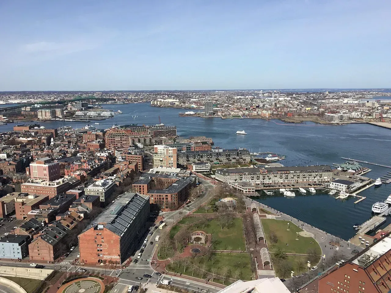
Boston’s plan hinges on unlocking a specific federal cost-share formula that has not previously applied to the city on this scale. The draft plan would allow Boston to pursue up to 65 percent of construction costs for coastal resilience projects from the federal government. City leaders have framed this as transformative given the alternative price of doing nothing. The study, expected to be completed in 2028, would prevent an estimated $41 billion in flood damage by securing that federal construction cost share. Boston has also started building its own financial planning apparatus, separate from the federal process. The Boston Green Ribbon Commission announced in June 2026 that it had launched a project to develop a financial blueprint for these projects, with completion anticipated in about a year.
New York’s East Side project already demonstrates how city and federal dollars can combine on a smaller scale, but the larger $52 billion harbor barrier proposal raises a much bigger funding question that remains unresolved. The East Side Coastal Resiliency project is jointly funded by the City of New York and the federal government. New York has also been quietly expanding its own institutional capacity to manage this work. NYC coastal resilience efforts recently received $43.2 million and 69 new workers to strengthen flood protection across the city’s shoreline.
Nature based defenses versus concrete and steel
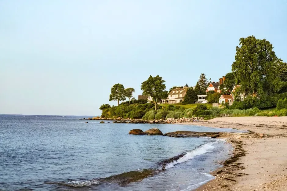
One of the sharpest disagreements in Boston’s current process concerns how much of the plan should lean on natural systems rather than hard infrastructure. The draft plan focuses on walls and retrofits, mostly proposing construction with stone and concrete, with few plans for wetlands, living shorelines, or fixes for increased stormwater flooding. Conservation groups have pushed back hard on that balance. The Conservation Law Foundation is urging the plan better reflect years of community planning and prioritize nature-based solutions, arguing the current draft could still make Boston eligible for billions of dollars in federal funding for coastal resilience.
Boston does have at least one neighborhood-scale example of what a nature-first approach can look like in practice. A landscape-based plan for East Boston offers a network of parks and natural buffers along the coast, together protecting more than 10,800 residents and preventing an estimated $620 million in losses from a 100-year flood event. New York’s East Side project takes a hybrid approach instead, blending raised parkland with hard floodwalls rather than choosing one over the other. The project rebuilds and improves waterfront park space, reflecting a wider strategy in which flood-control infrastructure serves neighborhoods on ordinary days rather than remaining hidden until a storm arrives.
How fast protection will actually arrive
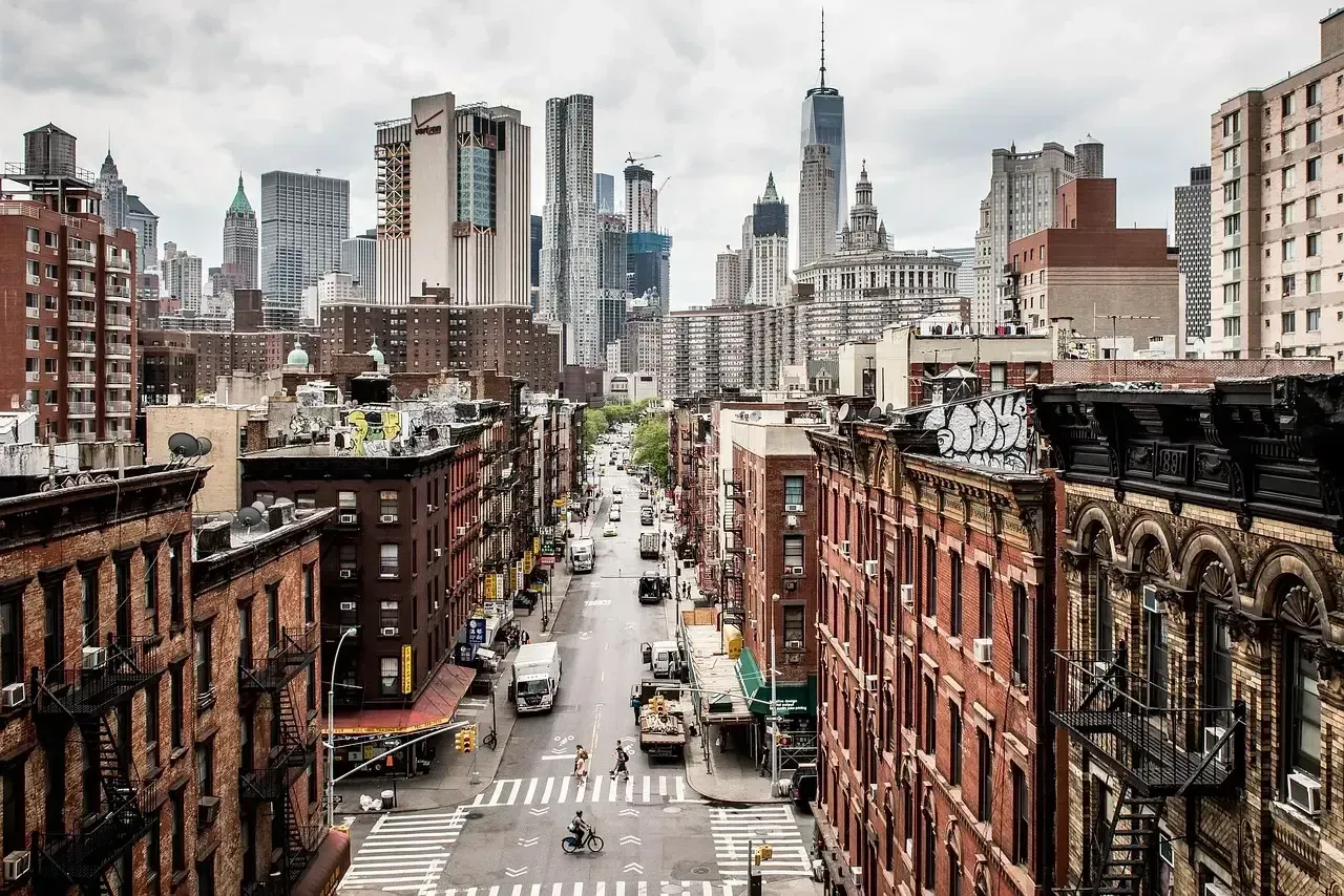
Timelines separate these two cities almost as sharply as their engineering philosophies do. New York’s flagship project is nearly finished, with officials targeting operational status within the next year. The ESCR project will come online next year, protecting more than 110,000 New Yorkers on the Lower East Side. Boston’s plan, by contrast, is still years away from breaking ground on most of its 20 proposed projects. The study behind Boston’s plan is expected to be completed in 2028.
New York’s much larger regional barrier proposal sits on an even longer horizon than anything currently on Boston’s table. If approved, construction of the Army Corps’ preferred plan would not begin until 2030 and would take 14 years to complete. That means the smaller, already-funded neighborhood projects, in both cities, are likely to deliver real protection years before either region’s biggest and most ambitious ideas ever break ground.
Where each plan still falls short
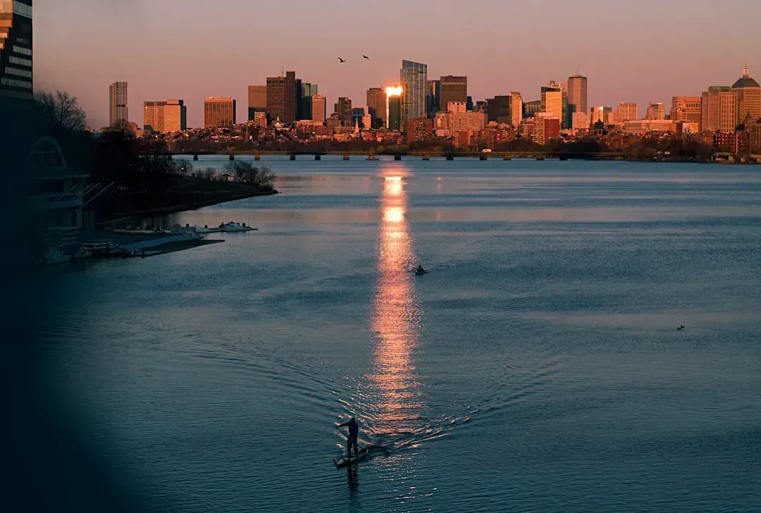
Boston’s draft plan has drawn criticism for what it leaves out as much as for what it includes. The plan mostly proposes building with stone and concrete, and the City wants clearer answers on where nature-based options fit in and who pays for them. There is also the unresolved question of scale versus urgency. An estimated 40 percent of Bostonians are projected to face coastal or river flooding from a 100-year storm before the end of this century, which makes securing federal funding a crucial step.
New York’s gaps are different in character, rooted more in scale and political friction than in design philosophy. Public meetings on the harbor barrier proposal have raised questions about whether tall barriers might cause flooding in adjacent unprotected areas and whether they would impede navigation, with environmental impacts cited as the top concern. Cost skepticism runs deep as well. Some believe the price tag for the full outer harbor barrier option, which exceeded $118 billion even with a 65 percent federal share, makes it a nonstarter.

- Insurers Ranked Every State by Climate Risk – This One Came in Dead Last - August 18, 2026
- I Asked 3 Water Engineers How Bad the Next Drought Will Be – Their Answers Didn’t Match - August 18, 2026
- The Real Reason Some Cities Are Becoming Unlivable in Summer – And It’s Not Just Heat - August 18, 2026
