
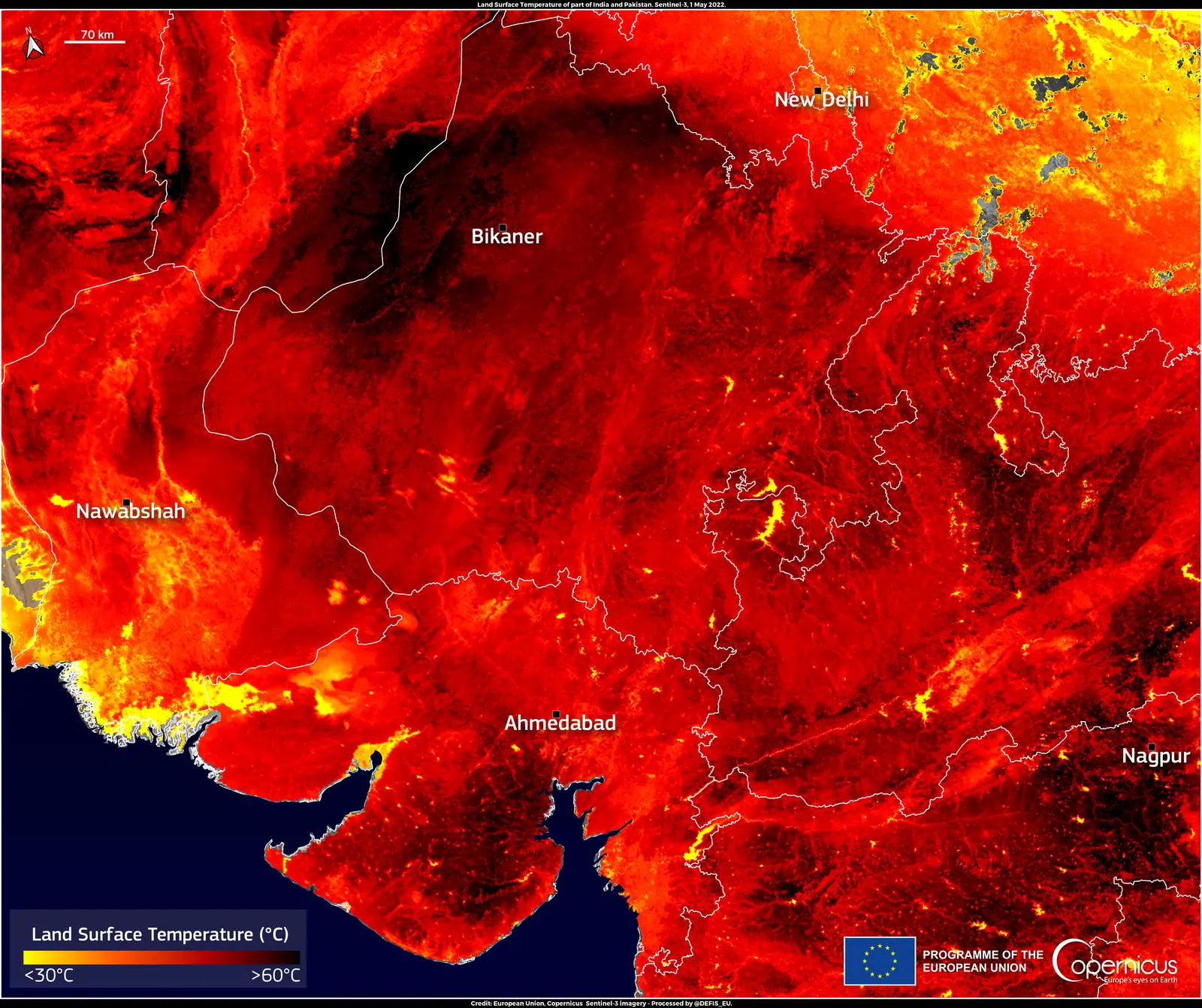
A heat dome forms when a large area of high pressure settles over a region and stays put for days or even weeks. This setup acts much like a lid on a pot, holding warm air close to the surface while preventing cooler air or moisture from moving in. The result is a prolonged stretch of extreme heat that can cover hundreds of miles.
These events draw attention because they combine several atmospheric processes that reinforce one another. Meteorologists track them through patterns in the upper atmosphere, where the high pressure creates a dome-like shape of warmer air. Understanding the mechanics helps explain why some heat waves feel especially stubborn and intense.
The Core Mechanism of a Heat Dome

A heat dome begins with a strong area of high pressure that remains stationary over land. This high pressure prevents the normal movement of weather systems, trapping the air mass beneath it. As a result, temperatures climb steadily without the usual relief from passing fronts or storms.
The phenomenon earns its name because the warm air expands upward, creating a bulging shape visible in atmospheric charts. Scientists describe it as the atmosphere holding heat in place much like a cap. This setup differs from typical heat waves that move through more quickly.
How High Pressure Creates the Dome Effect
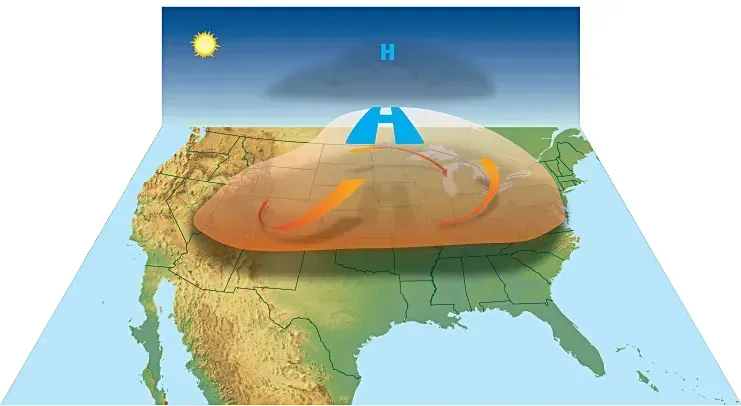
High pressure systems bring sinking air that compresses as it descends toward the ground. Compression warms the air without adding external heat, a process known as adiabatic warming. The effect builds over time as the same air circulates within the trapped zone.
Because the high pressure also lowers humidity, skies tend to stay clear. This allows uninterrupted sunlight to reach the surface and add further warmth. The combination turns the high into an effective lid that grows stronger with each passing day.
The Jet Stream’s Role in Formation
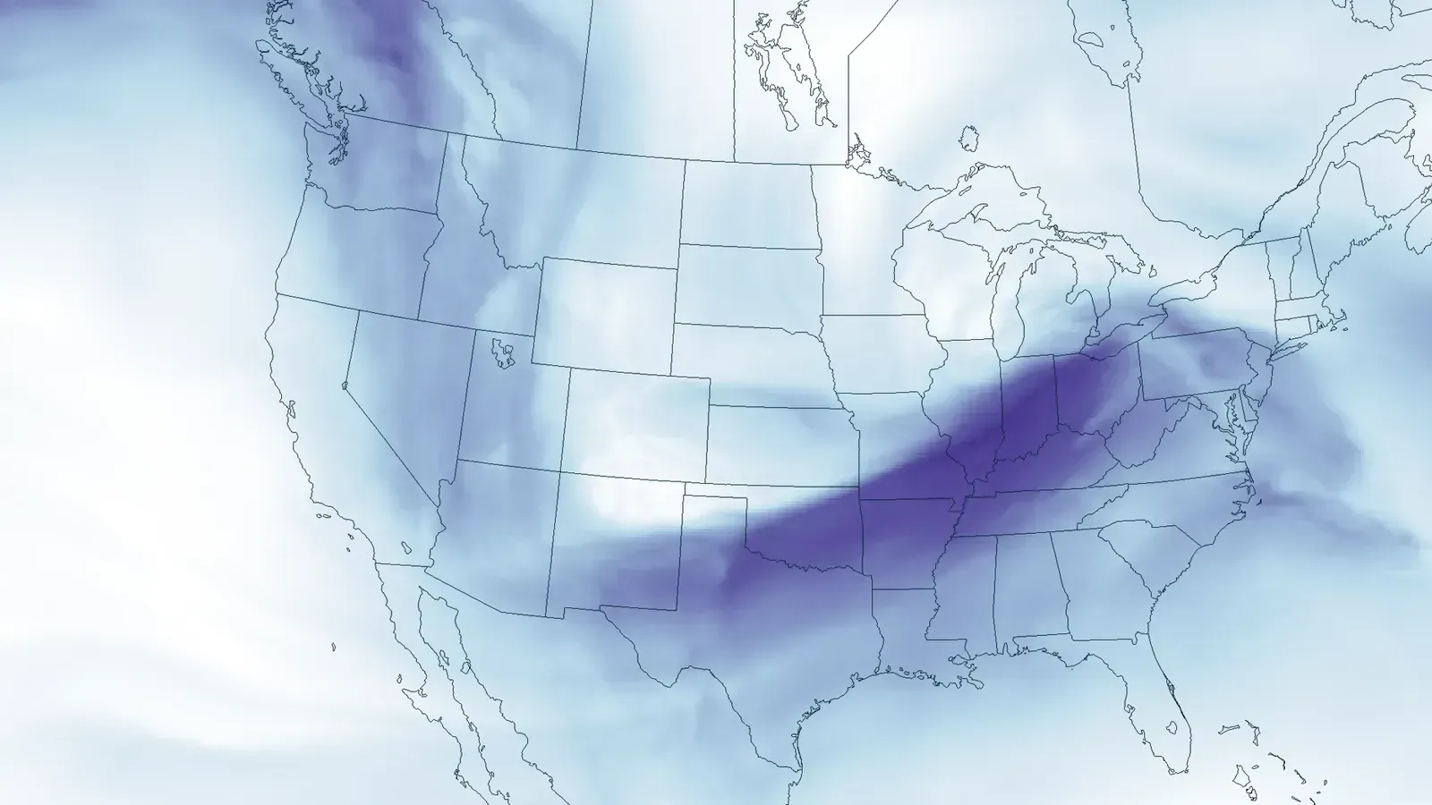
The jet stream, a fast river of wind high in the atmosphere, normally steers weather patterns from west to east. When its waves grow larger and slower, they can create blocking patterns that stall high pressure systems. These blocks often take shapes such as the Greek letter omega.
Once stalled, the high pressure resists displacement by incoming weather. Warm air from lower latitudes can also feed into the system, adding to the heat buildup. This jet stream behavior explains why heat domes sometimes appear in specific seasons or regions.
Adiabatic Warming Through Sinking Air
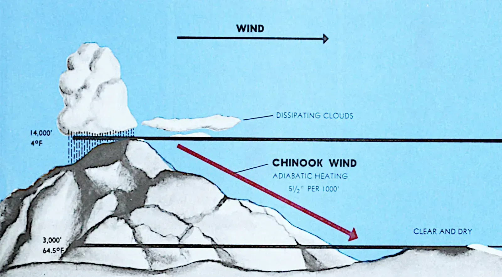
As air sinks under the high pressure, it encounters greater atmospheric weight and compresses. The compression raises its temperature even if no sunlight reaches it directly. This warming happens throughout the column of air trapped beneath the dome.
The process repeats as surface air rises slightly, only to be pushed back down. Each cycle adds a bit more heat through the same physical mechanism. Over several days the cumulative effect produces temperatures well above normal seasonal averages.
Clear Skies and Intense Solar Heating

High pressure suppresses cloud formation by limiting rising motion needed for condensation. With fewer clouds, more solar radiation reaches the ground and heats the surface rapidly. This direct heating then transfers to the air just above it.
The lack of clouds also reduces nighttime cooling because heat escapes more slowly under clear conditions. Temperatures therefore remain elevated around the clock. The result is a feedback where daytime gains carry over into the next day with little reset.
Feedback Loops That Intensify the Heat
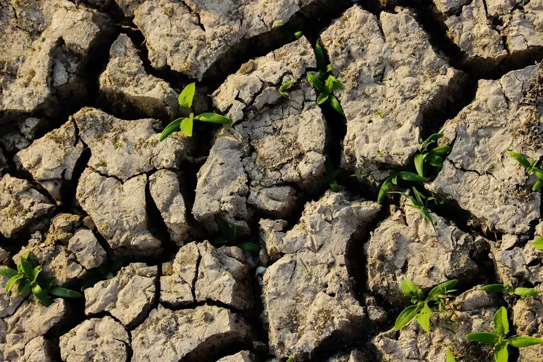
Dry ground under the dome absorbs more sunlight instead of using energy for evaporation. This shifts available energy toward raising surface and air temperatures further. Soils lose moisture quickly, reinforcing the dry conditions that favor even more heating.
Urban areas with dark surfaces such as pavement and roofs amplify the effect by storing and releasing heat. Vegetation stress adds to the cycle as plants transpire less. These loops make the heat dome self-sustaining until a new weather pattern arrives.
Factors Influencing Duration and Strength
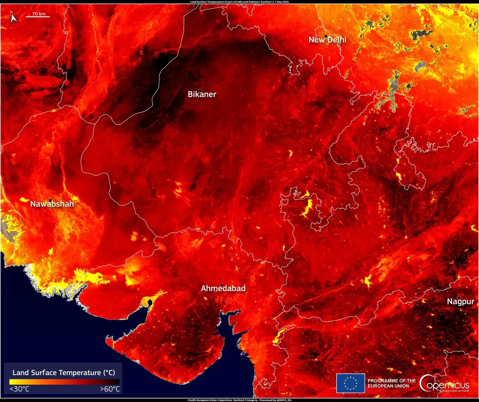
The strength of the blocking high pressure largely determines how long a heat dome persists. Stronger blocks resist disruption from storms or shifting winds for longer periods. Weaker blocks may break apart after just a few days.
Background warmth from broader climate patterns can make any given dome produce higher peak temperatures. Ocean temperature anomalies sometimes set the stage by altering large-scale air flow. Forecasters watch these ingredients to anticipate when a dome might form or linger.
Conclusion: Understanding Heat Domes in Context
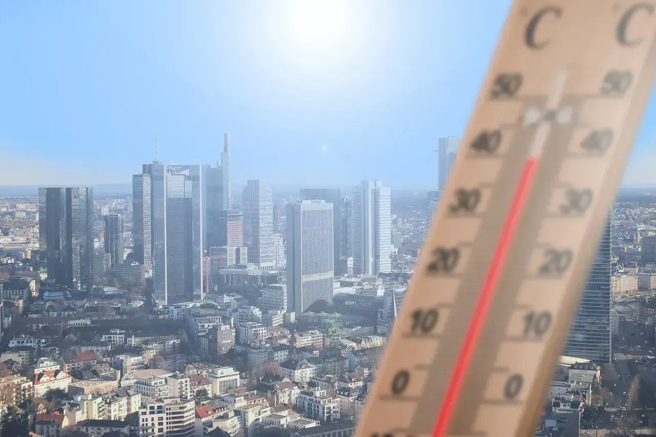
Heat domes illustrate how a single atmospheric feature can lock in extreme conditions through multiple reinforcing processes. Their formation relies on well-understood physics of pressure, sinking air, and solar heating. Recognizing these elements helps place individual events within the larger picture of weather variability.
While the basic mechanics remain consistent over time, the impacts can feel more pronounced when background temperatures are already elevated. Continued study of jet stream behavior and blocking patterns will refine predictions. In the end, awareness of how these systems work supports better preparation for the heat they bring.

- I Asked AI and a Waste Auditor How to Cut My Household Trash – Where They Disagreed - November 12, 2026
- Einstein’s equations suggest gravity can reconnect like the sun’s magnetic field - November 12, 2026
- This Map Shows Which States Get the Most Severe Storms Each Year – And It’s Not What You’d Expect - November 12, 2026
