


- The Planet Where It Rains Liquid Glass – 7 Alien Worlds Defying Known Physics - November 14, 2026
- Stars Consuming Entire Worlds – 6 Planetary Systems Swallowing Their Own Worlds - November 14, 2026
- The Ground Liquefies Like Water – 6 Silent Fault Lines Geologists Watch Closely - November 14, 2026
Atmospheric rivers are long, narrow corridors of moisture that stream through the sky. NOAA describes them as “rivers in the sky” that transport most of the water vapor outside of the tropics. Along the US West Coast, they are both a lifeline and a hazard.
Most of them are welcome visitors. A few are destructive. This article explains how they form, why some turn dangerous, and what recent events in 2025 and 2026 show about the flood risk.
A River in the Sky, Defined
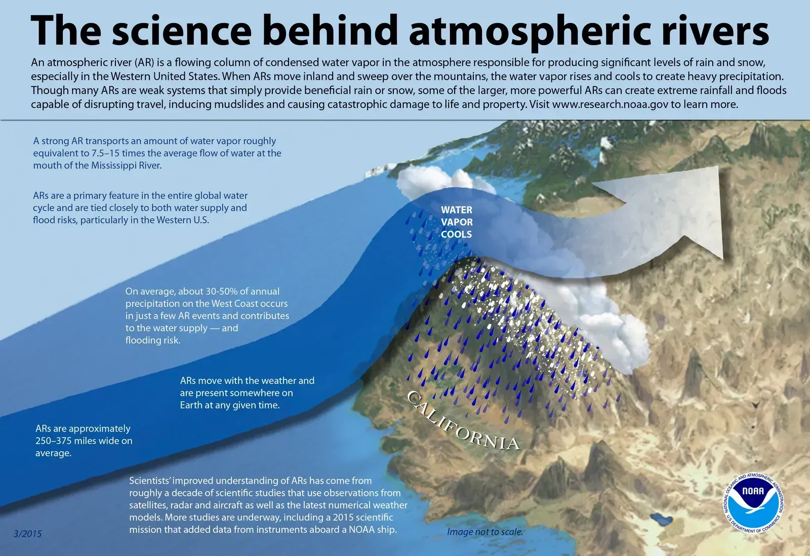
The average atmospheric river carries roughly as much water vapor as the average flow at the mouth of the Mississippi River. That’s an enormous amount of water, and it moves invisibly overhead as vapor. Exceptionally strong ones can carry up to 15 times that amount.
Scientists measure these systems with a quantity called integrated vapor transport, or IVT. In forecasts from the Center for Western Weather and Water Extremes, atmospheric river conditions are defined by IVT of at least 250 kg per meter per second. Higher values, such as 500 or more, signal stronger events.
How They Form and Reach North America
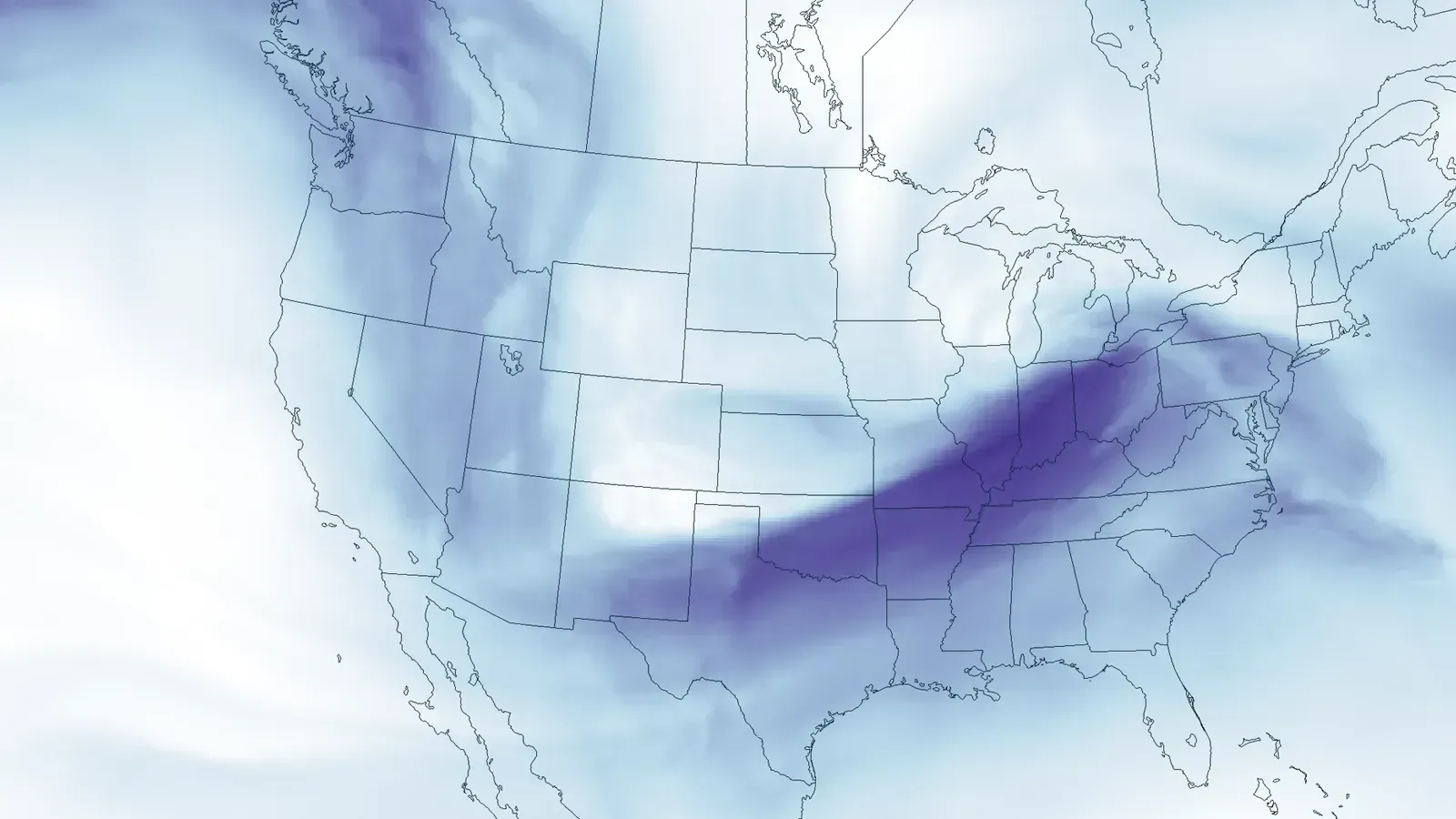
They form when winds over the Pacific draw up moisture from the warm, moist air over the tropics and channel it toward the West Coast of North America. Storm systems and the jet stream act like a conveyor belt for this moisture.
The best-known version has a nickname. The “Pineapple Express” is a setup where the jet stream dips south into the tropical Pacific near Hawaii before carrying warm, moist air north and east across the ocean. Not every atmospheric river starts near Hawaii, though. Some of the recent Washington events came from farther north.
Why Most Atmospheric Rivers Are Actually Helpful
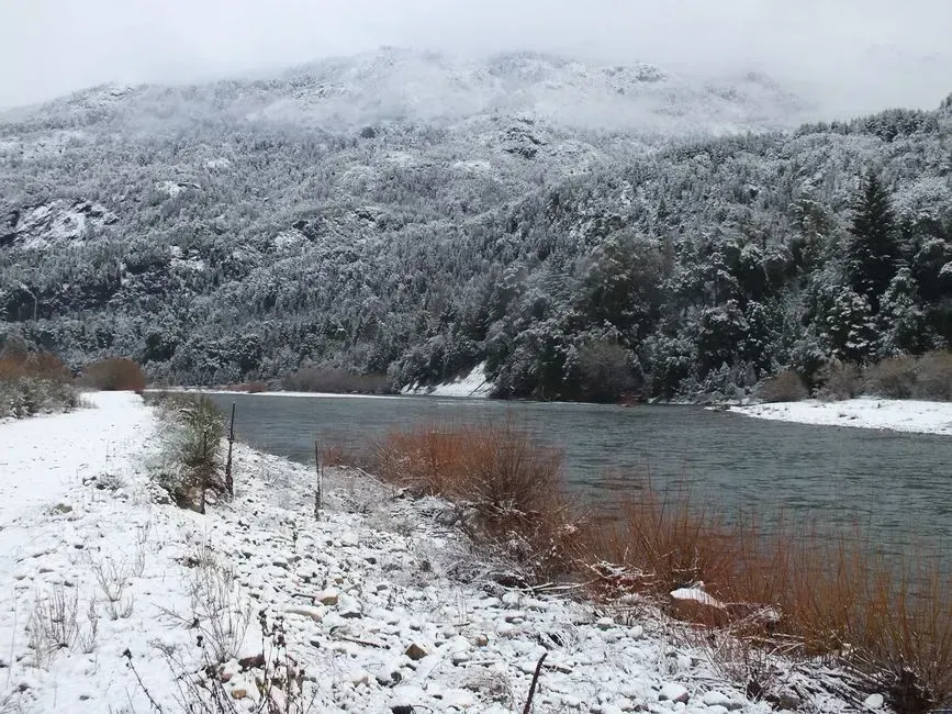
It’s easy to assume they’re all trouble. They aren’t. Most are weak systems that often provide beneficial rain or snow that is crucial to the water supply.
In the mountains, that moisture builds up as snow. Atmospheric rivers contribute to beneficial increases in snowpack that supplies water through the dry months. The same storms can be a blessing or a menace depending on strength, duration and temperature.
What Turns a Storm into a Flood
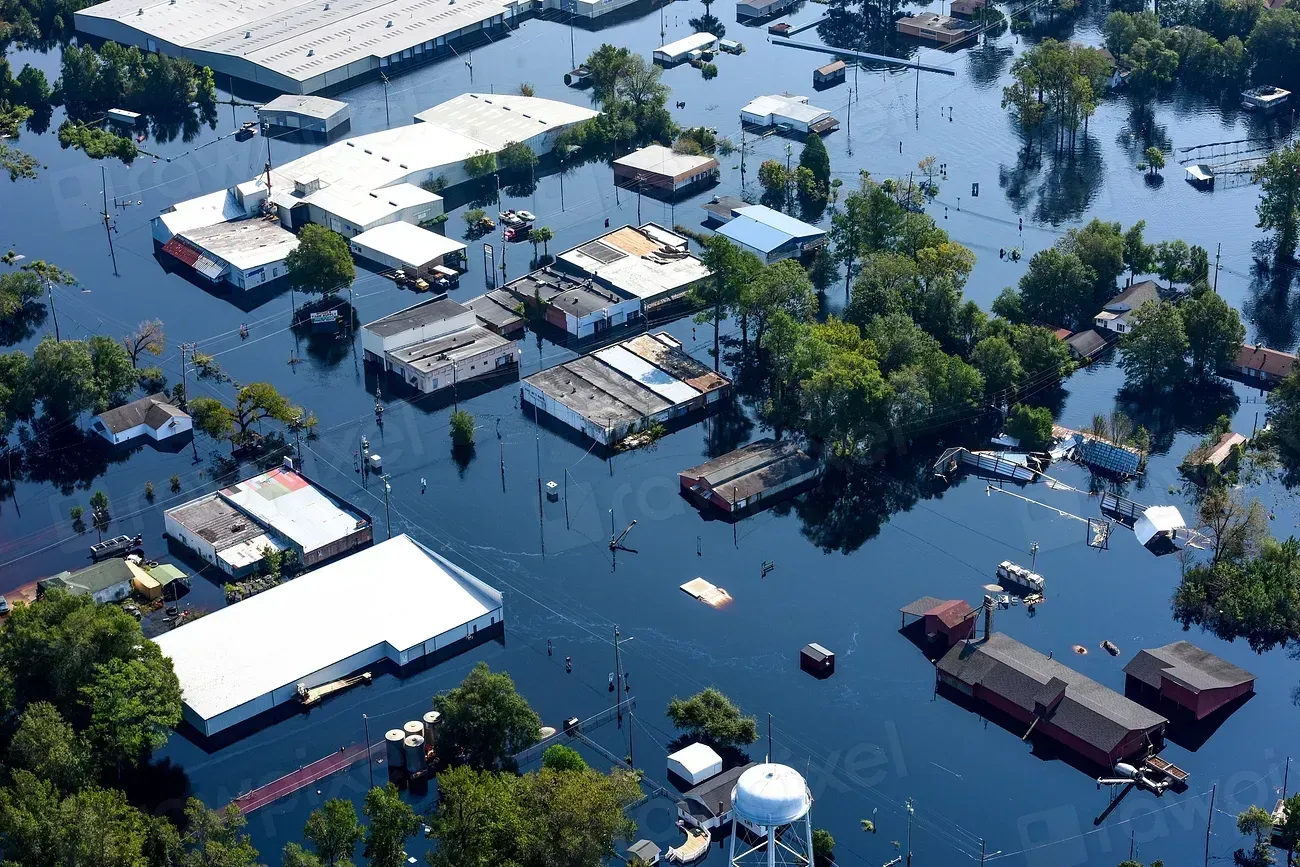
Strength matters, but so does staying power. Those with the largest amounts of water vapor and the strongest winds can create extreme rainfall and floods, often by stalling over watersheds vulnerable to flooding. A storm that lingers keeps feeding the same rivers.
Terrain plays a role as well. Forecasters note that sustained moist flow can produce localized higher totals in terrain-favored areas due to orographic enhancement, meaning mountains wring extra rain out of the air as it’s forced upward. Warm storms are especially risky because rain falls where snow might otherwise have stayed frozen.
The Cost of Flooding on the West Coast
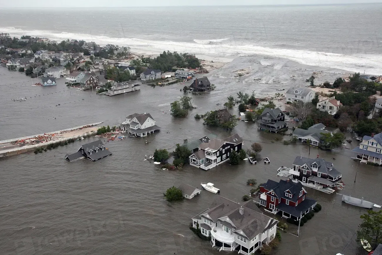
The damage adds up. NOAA’s satellite office reports that atmospheric rivers cause 80% of flood damage at an average estimated cost of $1.1 billion annually on the West Coast. That figure shows how much of the region’s flood risk traces back to this one type of storm.
The impacts go beyond high water. These events can disrupt travel, induce mudslides and cause catastrophic damage to life and property. Landslide threats often linger after the rain stops, because saturated hillsides stay unstable.
Southern California’s Back-to-Back Storms

California has seen the full range of outcomes. In one documented sequence of storms, two Pineapple Express systems brought 10.57 inches of rain to Los Angeles. A state of emergency was declared for Southern California as heavy rainfall and flooding threatened the region.
Back-to-back events are the real test. Soil that’s already wet can’t absorb more, so each new storm runs off faster. That’s why forecasters watch not just one storm but the whole series.
The Pacific Northwest’s Record Floods in December 2025
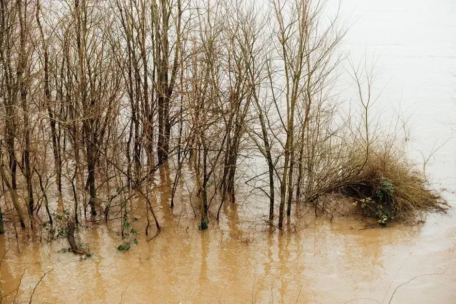
Washington faced a serious test in December 2025. More than 6 million people were under flood watches in Western Washington, with more than 7 inches of rain expected. The state’s Emergency Operations Center was activated at level 1, its highest response level.
Rivers climbed to extraordinary heights. The Grays River reached a record-breaking 33.3 feet in Rosburg. Snohomish County declared a state of emergency as multiple rivers threatened historic levels. Forecasters then warned that moderate to major flooding was possible again on some of the same rivers that had seen record flooding the week before.
More Events in 2026 and the Forecast Ahead
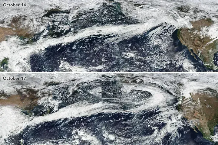
The pattern continued into 2026. In February, forecasters expected an atmospheric river tied to a slow-moving low-pressure system to affect California between February 21 and 26, 2026. In March, a multi-day event affecting western Washington since March 15 raised flood potential as rainfall and snowmelt combined.
Looking to this winter, AccuWeather has flagged an El Niño. El Niños can intensify the atmospheric rivers that bring this rain. One AccuWeather meteorologist suggested it could mean six, seven, or eight atmospheric rivers causing major flooding. That’s a seasonal outlook from one forecaster, not a certainty, so it’s best read as a reason to prepare rather than a prediction.
Conclusion
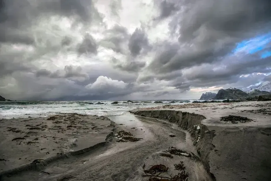
Atmospheric rivers are a normal, essential part of how the West gets its water. Most deliver gentle, useful precipitation. The strong, slow-moving ones, especially when they arrive in sequence over wet ground and steep terrain, drive the region’s worst floods.
For residents, the practical takeaway is simple: check National Weather Service alerts, know your local river and landslide risks, and treat a series of storms as more serious than a single one. The same sky river that fills reservoirs can also overfill a riverbank.
