

Rain doesn’t fall evenly, and a warming climate is not spreading it more evenly either. Some places are seeing heavier downpours and rising water totals. Others are stuck in longer, hotter dry spells. The reasons come down to basic physics, shifting weather patterns and what people do to the land.
The picture is also messier than the popular phrase “wet gets wetter, dry gets drier” suggests. Researchers have found that the pattern holds in many places, but it fails in others. This article walks through the main drivers and what recent research says about each.
The Basic Idea: Wet Gets Wetter, Dry Gets Drier
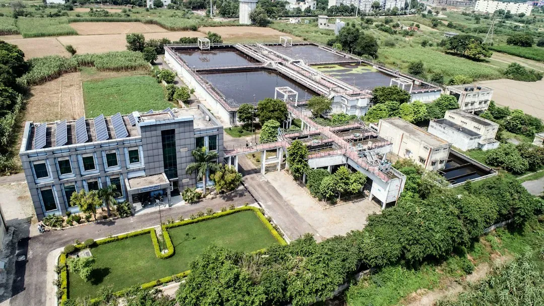
Warmer air holds more moisture, and that changes how water moves around the planet. As the Earth warms, the water cycle has begun to intensify in a “wet-gets-wetter-dry-gets-drier” pattern. In practical terms, more freshwater is leaving dry regions and ending up in wet regions.
One Nature study used ocean salinity as a kind of rain gauge. It found consistency with a water cycle intensification of up to 7%, meaning up to 7% more rain in wetter areas and 7% less rain, or more evaporation, in drier areas. That sits at the upper end of earlier estimates, which suggested an intensification closer to 2 to 4%.
What Satellites Show About Land Water
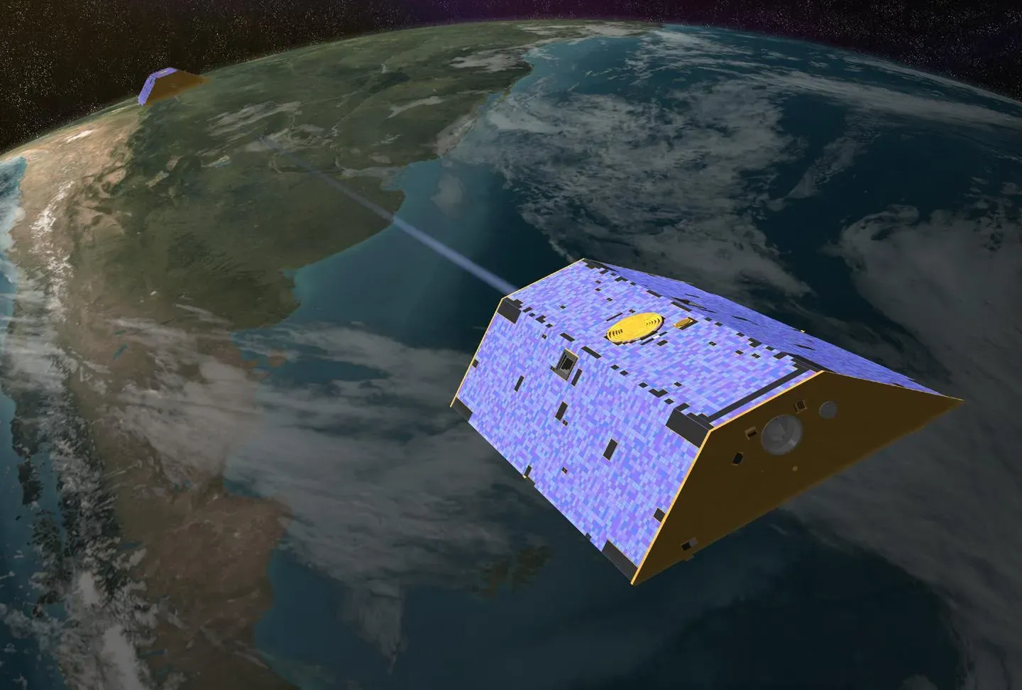
NASA’s GRACE satellites measure changes in total water stored on land, including groundwater, soil moisture and ice. A 2025 paper in Science Advances reported that the continents have undergone unprecedented terrestrial water storage loss since 2002. The authors also found that areas experiencing drying grew by twice the size of California annually, creating “mega-drying” regions across the Northern Hemisphere.
The study supports the old pattern, with a twist. Most dry areas continue to get drier and wet areas wetter, but dry areas are drying at a faster rate than wet areas are wetting. That imbalance matters because it means total freshwater availability is shrinking, not just being rearranged.
Why the Rule Doesn’t Work Everywhere on Land
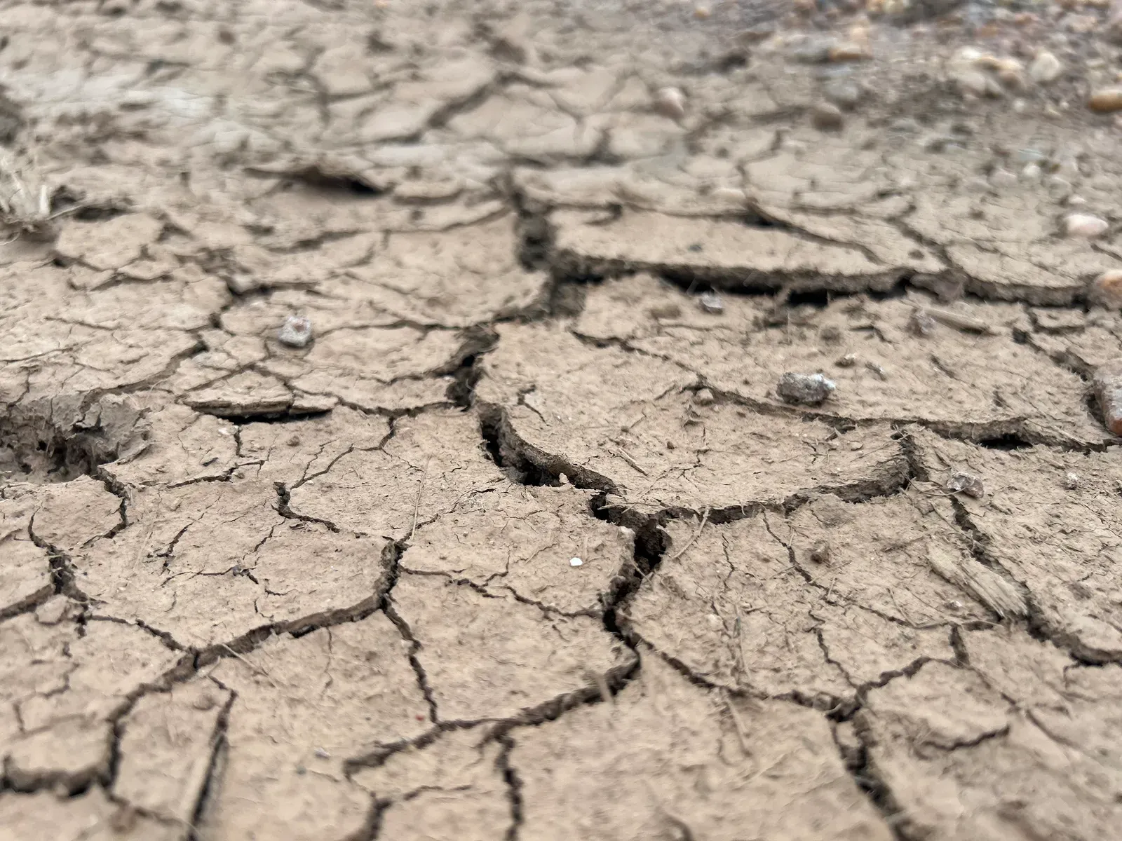
The idea works best over oceans. Over land, the story is more complicated. A model study found that natural internal climate variability strongly affects local wetness and dryness trends and can obscure the underlying agreement with the pattern. It also noted that dry land regions aren’t forced to become drier, since evaporation cannot exceed precipitation over multiannual time scales.
A 2026 preprint on EGUsphere, which hasn’t completed peer review, makes a similar point. It tracked regions from 1979 to 2023 and found that drying still affects many regions, but many areas are also shifting between wet and dry conditions. Persistent drying was still the largest category, yet it covered less than 30 percent of global land (28.7%). So the simple slogan describes a tendency, not a rule.
Heat, Evaporation and Thirstier Air
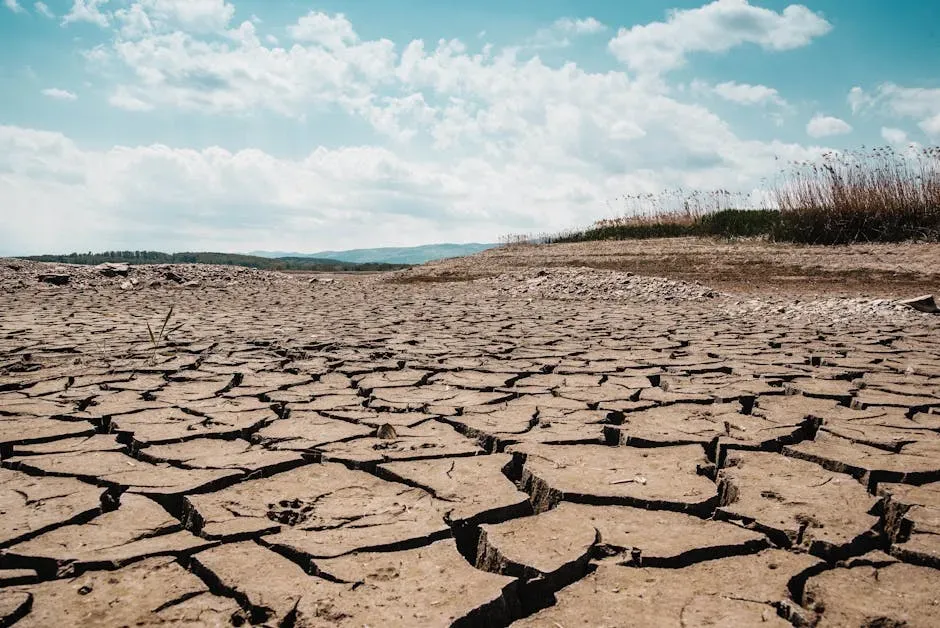
Drought isn’t only about missing rain. Hotter air pulls more water out of soil and plants, so a region can dry out even if rainfall holds steady. This is why researchers often use indices that combine precipitation with evaporative demand.
That also explains why some wet regions are not safe from drying. A study of Indian climate zones from 1951 to 2020 found that Northwest India’s hot semi-arid zone grew from about a quarter of the region to a third, as temperatures rose and rainfall dropped. Heat and rainfall changes worked together there.
Shifting Wind and Storm Patterns
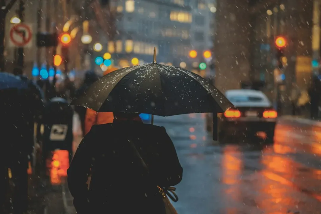
Moisture is carried by large-scale circulation, so regional winners and losers depend on where storms and monsoons track. The same Indian analysis shows how uneven the outcome can be. The southern peninsula turned wetter over seven decades, with rising annual rainfall, while the north-west and north-east became drier.
In the south, the area under hot semi-arid climate halved, from about 30 per cent of the region to about 14 per cent. Researchers also compared rainfall in the northern plains with ocean temperatures to explain the dryness there. Neighboring regions inside one country can head in opposite directions.
Natural Swings That Mask the Trend
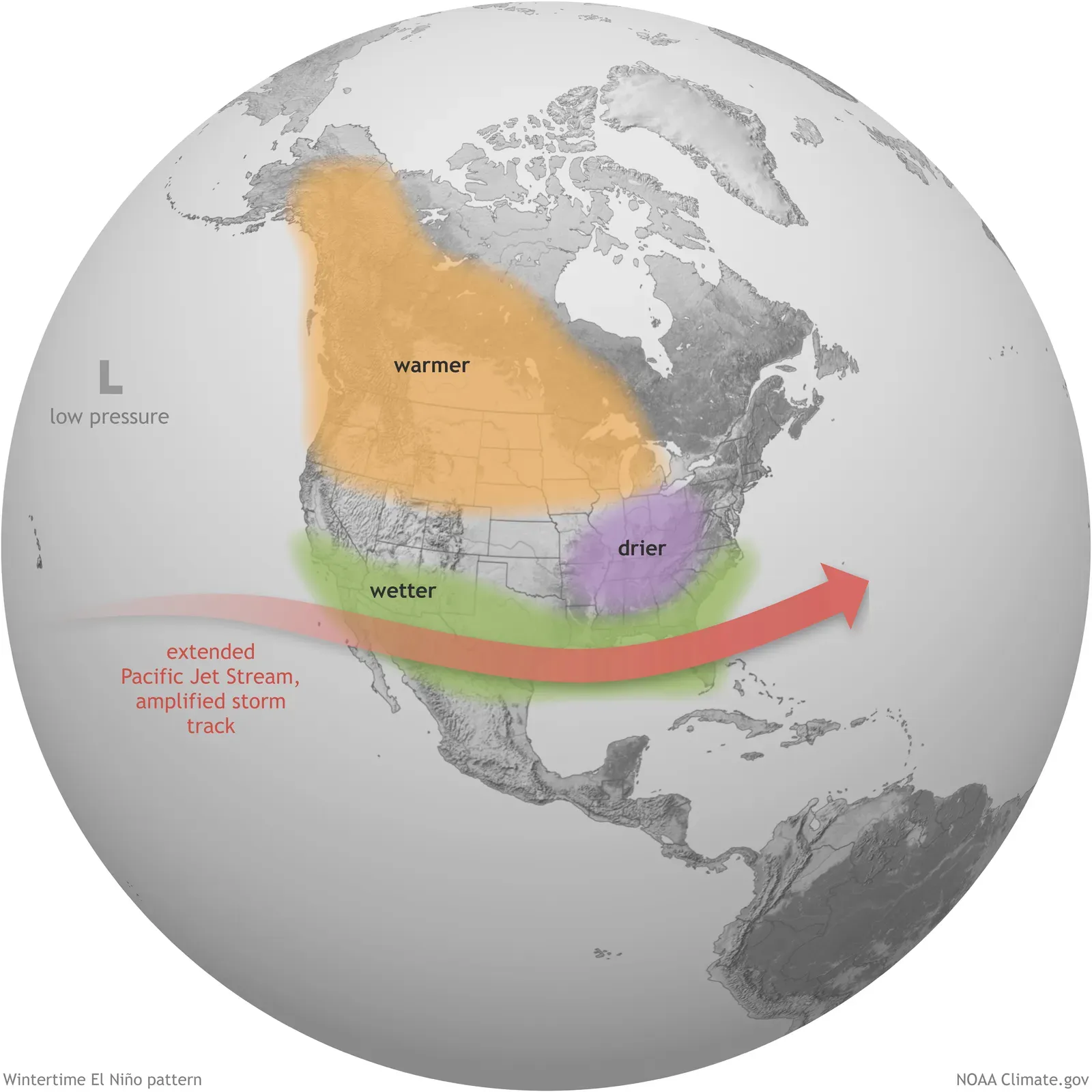
Cycles such as El Niño and La Niña shuffle rainfall from year to year. These swings can add to a long-term trend or cancel it out for a decade. That’s one reason a single flood or drought rarely proves anything alone.
The EGUsphere study linked wet and dry transitions to both land conditions and large-scale climate variability. It found stronger drying in croplands and urban areas, and larger dry-to-wet transitions in wetlands. Natural variability sets the rhythm, and warming and land use tilt the odds.
More Extreme Seasons Within the Same Place
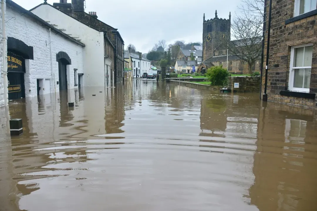
Even regions with plenty of annual rain face a changing calendar. A Clemson-led study found that dry seasons will become drier and wet seasons wetter. That means a place can see both more flooding and more dry stretches.
The eastern United States is an example. Regions like it can expect greater precipitation and evaporation in both wet and dry seasons, and water availability will vary more widely than now. The greatest concern for such areas, according to the researcher, is more flooding.
Conclusion: A Tendency, Not a Guarantee
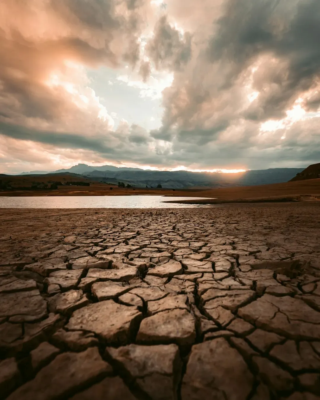
Regions get wetter or drier because warming intensifies the water cycle, heat increases evaporation, circulation patterns move storms, and natural variability and land use add local noise. Observations from satellites, oceans and weather stations broadly support the wet-gets-wetter, dry-gets-drier tendency, especially in how fast dry areas are losing water. Still, many places break the pattern, and a single year can mislead.
The useful takeaway is local. Whether a region faces floods, drought or both depends on its own geography, so planning works best when it’s based on regional data rather than a global slogan.

- 9 Wildfire-Season Routines Many California Residents Follow - November 10, 2026
- Most US states face earthquake risk as major fault lines span the country - November 10, 2026
- The Joplin Tornado of 2011 Killed 158 People and Led to New Warning Language - November 10, 2026
