


- The Planet Where It Rains Liquid Glass – 7 Alien Worlds Defying Known Physics - November 14, 2026
- Stars Consuming Entire Worlds – 6 Planetary Systems Swallowing Their Own Worlds - November 14, 2026
- The Ground Liquefies Like Water – 6 Silent Fault Lines Geologists Watch Closely - November 14, 2026
Most visitors to Yellowstone see boiling pools, bison and the occasional traffic jam. Behind the scenery, a network of instruments is recording the ground, the water and the air around the clock. The Yellowstone Volcano Observatory, or YVO, turns those readings into a monthly public report.
The reports are short and a bit dry, but they show what scientists actually track. Here’s what’s in them, based on the 2025 and 2026 updates.
The Alert Level Is the Starting Point
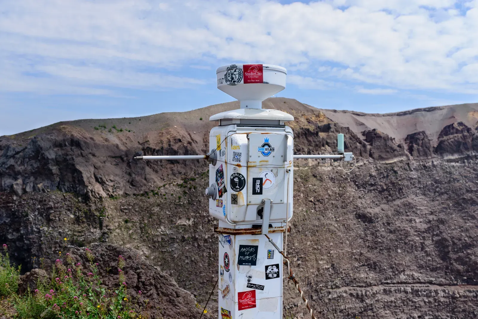
Every monthly update opens with two labels, a Volcano Alert Level and an Aviation Color Code. In the October 1, 2026 notice, the alert level was NORMAL and the aviation color code was GREEN. The same labels appear in the earlier 2026 updates.
The rest of each report explains why that label still fits. YVO is one of the five USGS volcano observatories that monitor volcanoes within the United States for science and public safety. So the alert level is a summary, and the data underneath it is what changes from month to month.
Counting Earthquakes, Month After Month
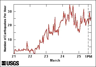
Earthquakes are the most visible measurement. The University of Utah Seismograph Stations operates and analyzes the Yellowstone Seismic Network, and it located 77 earthquakes in the park region during September 2026. That month’s largest was a magnitude 3.4, about 20 miles northeast of Moran, Wyoming.
The monthly totals move around but stay in a fairly narrow band. February 2026 had 74 located earthquakes, with a largest of M2.4. June had 118, with a largest of M2.4. October 2026 had 66, with a largest of magnitude 2.0.
Why Earthquake Swarms Get Their Own Mention
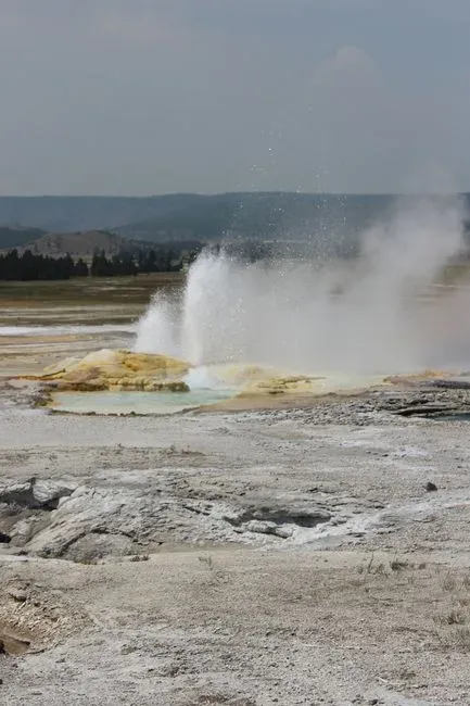
Many of Yellowstone’s quakes arrive in clusters called swarms. The reports log them by size and location. In February 2026, a swarm of 12 earthquakes struck about 6 miles north of West Yellowstone, Montana.
June was busier. One swarm of 25 earthquakes occurred south-southeast of Lake during June 6 to 9, and a swarm of 16 small quakes followed north-northeast of Old Faithful on June 14 and 15, with magnitudes between 0.5 and 1.6. Swarms like these are noted in the monthly report and are still classed as background activity.
Measuring a Ground That Rises and Falls
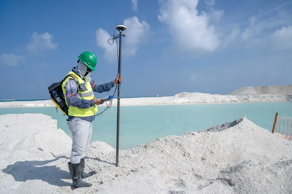
Deformation is the second pillar. Scientists want to know whether the ground is swelling or sinking, and by how much. Continuous GPS stations do part of that work, along with seasonal semipermanent GPS stations and satellite radar measurements.
The semipermanent stations are installed for a few months every summer to fill in the network. In 2026 the totals have been small. The August summary described about 1 centimeter of minor caldera uplift so far in 2026. YVO has noted before that the ground soaks up water like a sponge and puffs up a little, with subsidence resuming in the fall.
The Norris Uplift That Started and Stopped
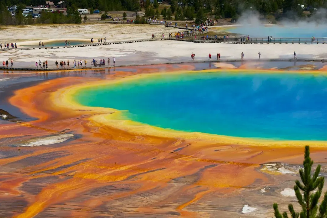
One deformation story ran through 2025 and 2026. The Norris Uplift Anomaly is an area along the north caldera rim, just south of Norris Geyser Basin and near Gibbon Falls. Subtle uplift there appeared to have started in July 2025.
The surge did not last. The uplift began in July 2025 and ceased by mid-January 2026. YVO stated plainly that this is not an indication that Yellowstone is about to erupt.
Geysers as Natural Gauges of Hydrothermal Change
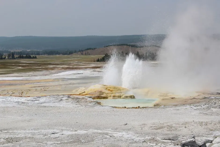
The observatory also watches the park’s plumbing. Water temperature sensors and cameras record when geysers erupt. Steamboat Geyser in Norris Geyser Basin erupted on February 27, 2026, at about 7:01 p.m. MST, its first eruption of the year.
Echinus Geyser made news as well. It erupted about 40 times in February, its first eruptions since December 2020. In October, Giant Geyser in Upper Geyser Basin erupted on October 5, 13 and 22.
Hydrothermal Explosions at Biscuit Basin

Hydrothermal explosions are sudden bursts of steam and water, and they are a separate hazard from magmatic eruptions. A small hydrothermal explosion occurred in Biscuit Basin on June 13, 2026. Black Diamond Pool in the same basin erupted several times in July, and a new camera was installed nearby to track activity there and at the explosion site.
The August update logged more activity at the pool. There were a few small eruptions, plus likely one large eruption at night in early to mid August. Cameras are a practical choice here, since these events can happen with little warning and often in the dark.
New Stations and Fieldwork Keep Expanding the Network
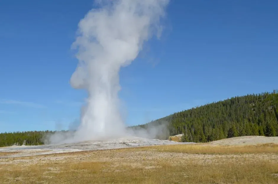
Monitoring isn’t static. Scientists from the University of Utah and Yellowstone National Park began installing a new seismic and infrasound station in Upper Geyser Basin near Geyser Hill, due online in August or September 2026. Infrasound picks up low frequency sound that people can’t hear.
September’s fieldwork covered a lot of ground. It included recovery of temporary GPS stations, microgravity measurements, maintenance of temperature stations, a new hydrothermal monitoring station and a restored camera with a view of Yellowstone Lake. Microgravity readings help detect mass changes underground.
A Partnership, With a Ten Year Plan
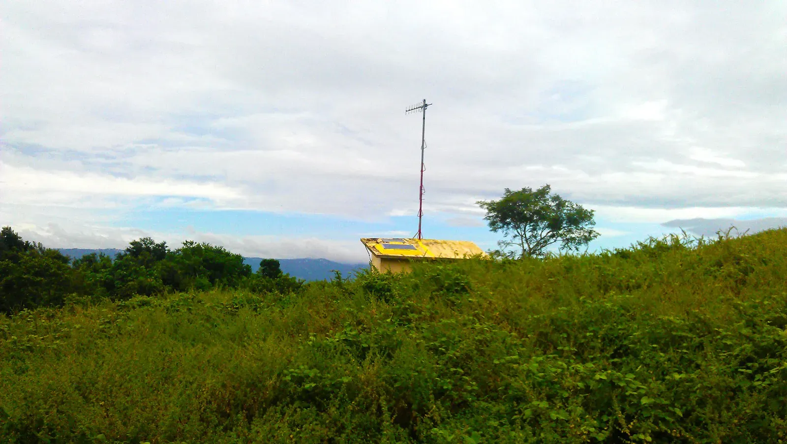
No single agency does all of this. YVO member agencies include the USGS, Yellowstone National Park, the University of Utah, the University of Wyoming, Montana State University, Earthscope Consortium and several state geological surveys. That mix explains why seismic data comes from Utah while the monthly notice comes from the USGS.
A written roadmap guides the work. YVO published a report titled Volcano and earthquake monitoring plan for the Yellowstone Caldera system, 2022 to 2032. It outlines goals, the monitoring tools scientists would like to install and the data they want to collect.
The Most Recent Reading, October 2026
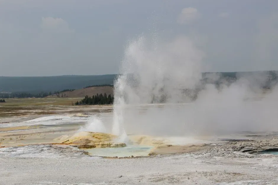
The latest update came out on November 2, 2026. It reported 66 located earthquakes in October, with a largest of magnitude 2.0. Ground deformation showed very little change through 2026, with neither uplift nor subsidence.
Steamboat Geyser had minor activity, and Echinus Geyser erupted on October 26. The observatory concluded that Yellowstone volcano remains at normal, background levels of activity.
