

1. It all starts with billions of raw observations
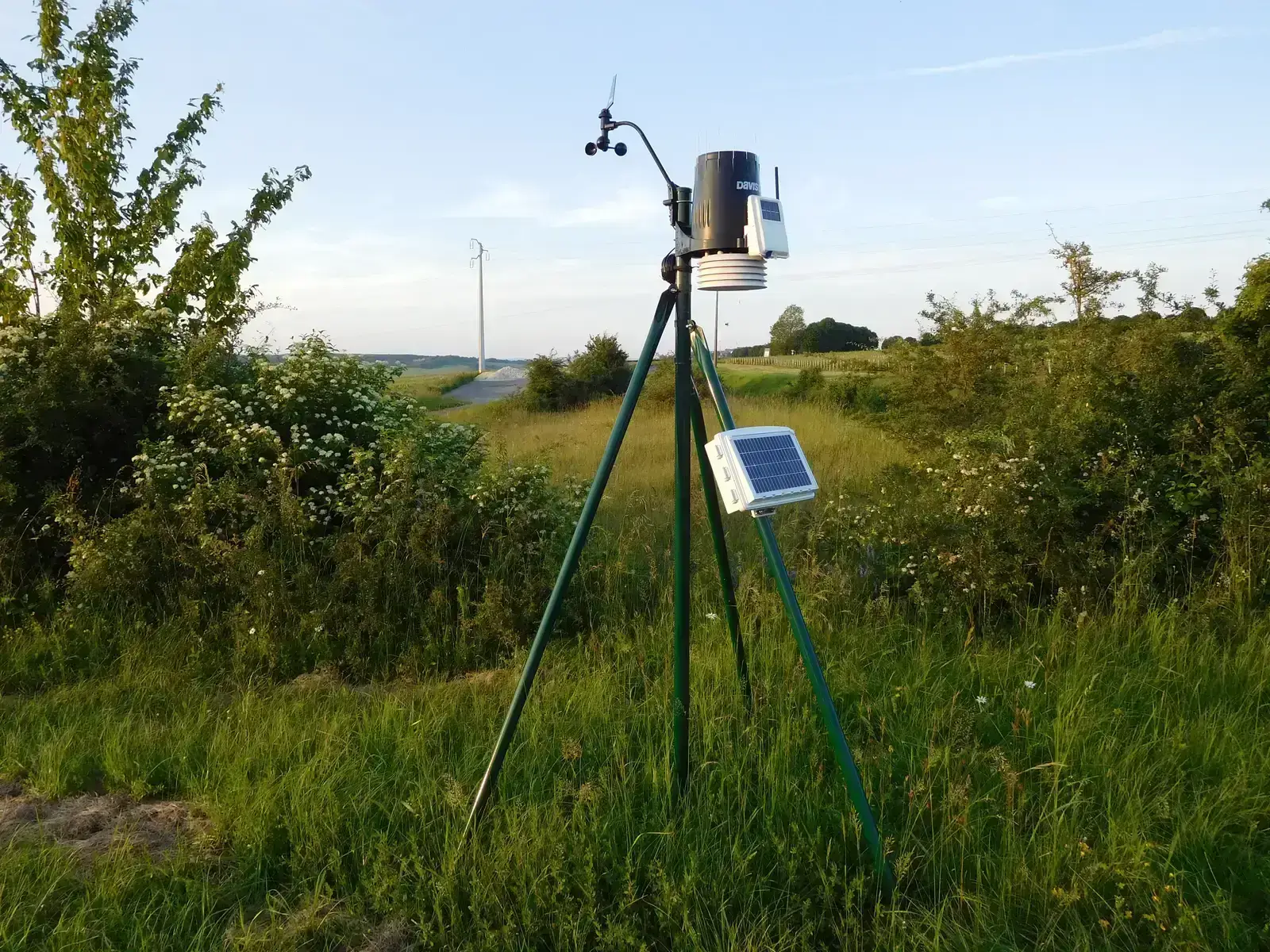
Before any model can run, forecasters need to know what the atmosphere is actually doing right now. Every prediction begins with the collection of atmospheric data, and each forecast you see, from a sunny icon on your phone to a TV anchor warning of storms, begins with billions of data points. These come from ground stations, ships, aircraft, and instruments scattered across land and sea.
Meteorologists rely on a wide mix of hardware to gather this baseline picture. The National Weather Service uses supercomputers to process data from doppler radar, radiosondes, weather satellites, and ASOS. Without this raw material, even the most advanced model has nothing to work with.
2. Supercomputers turn raw numbers into simulations
Once the data is collected, it doesn’t just sit in a spreadsheet somewhere. Once the data is collected, it is processed through supercomputers running complex equations, and these computers simulate the atmosphere using what’s called a numerical weather prediction model. This is the computational heart of modern forecasting.
These machines are not small operations either. Supercomputers can conduct thousands of calculations every second, which lets them process the sheer volume of atmospheric information in a timeframe that’s actually useful to forecasters and the public.
3. The globe gets sliced into a giant grid
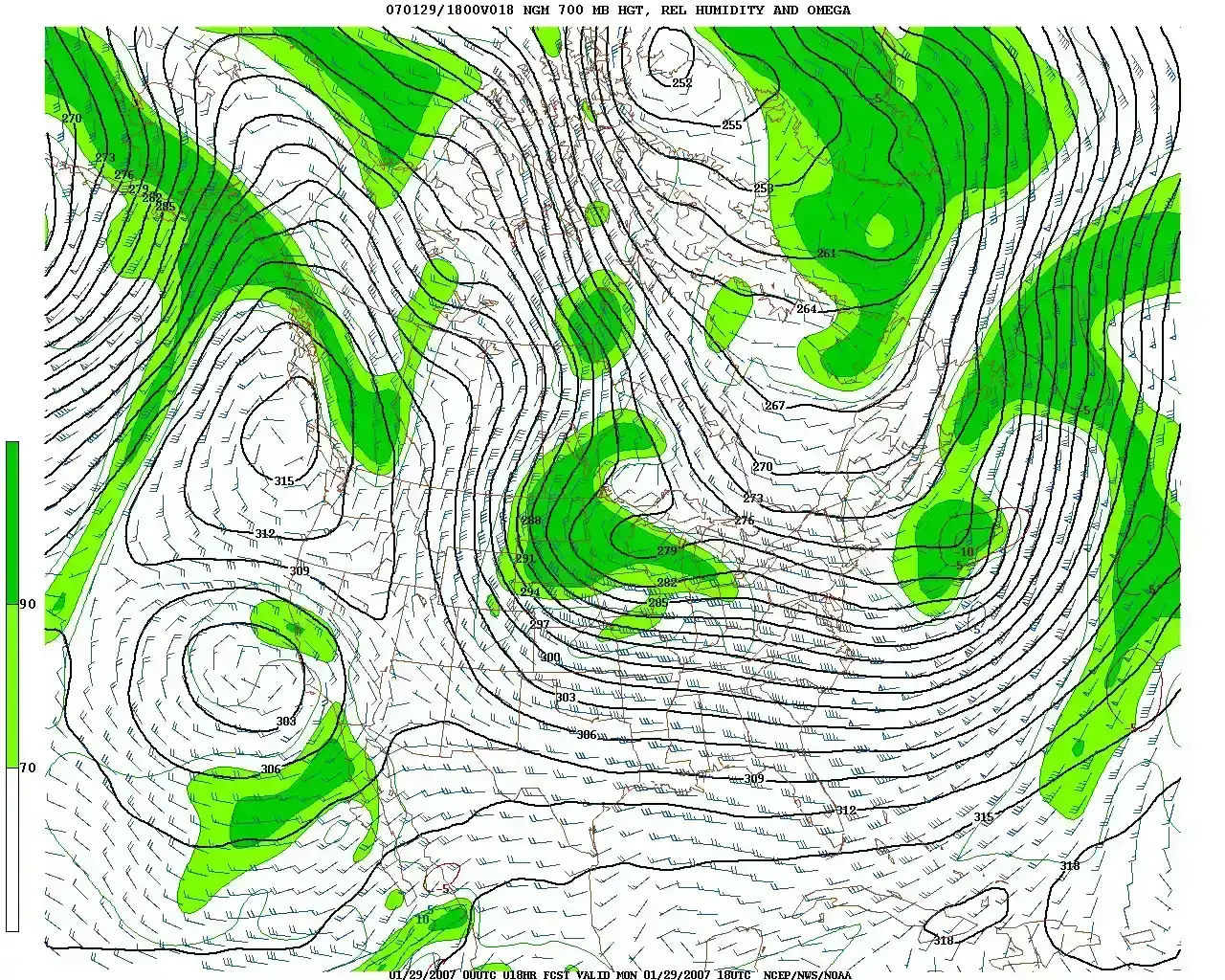
Rather than treating the atmosphere as one continuous blob, models break it into manageable pieces. The computers break down the globe into millions of grid cells, each representing a small volume of the atmosphere, and then equations predict how temperature, pressure, and wind in each cell will evolve over time. Each box gets its own mini forecast based on physics.
Resolution matters enormously here. The finer the grid, the better the resolution, which means more accuracy for local forecasts. That’s part of why a forecast for your specific neighborhood can differ slightly from the broader regional outlook you see on national news.
4. Physics equations, not guesswork, drive the models
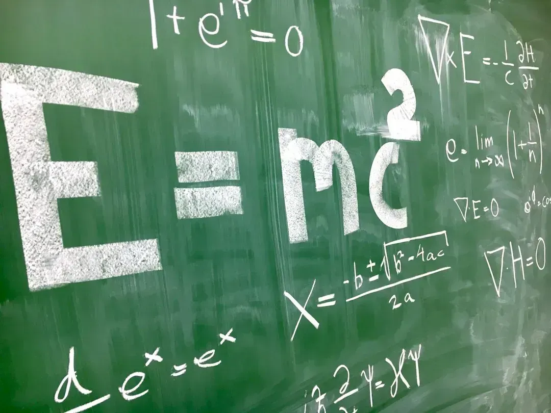
It’s easy to assume forecasting is somewhat intuitive, but it’s rooted in strict mathematical laws. These models are based on physics, particularly the laws that govern air movement, heat transfer, and moisture behavior. The atmosphere behaves according to predictable rules, even when the outcomes feel chaotic.
Specific processes get their own equations entirely. Meteorologists can do this because many processes that happen in the atmosphere are predicted by mathematical equations, describing how quickly warm air rises, how raindrops are formed, and how wind creates waves on the ocean. Stack thousands of these calculations together and you get a working simulation of tomorrow’s sky.
5. Missing data gets filled in through a process called data assimilation
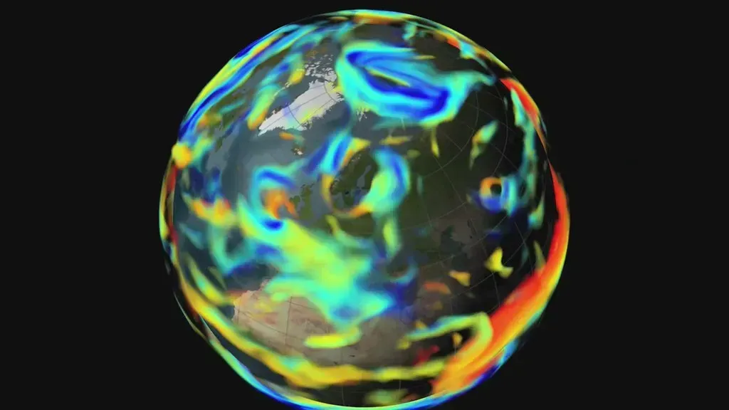
Observation networks are extensive, but they don’t cover every square mile of the planet. A process known as data assimilation fills in gaps where direct observations are missing, such as remote ocean areas or inaccessible land regions, by blending available data with model predictions. It’s essentially educated interpolation, grounded in physics rather than blind guessing.
This step matters more than most people realize. NWP models and data assimilation systems remain indispensable because they provide the initial conditions necessary for both traditional and machine learning forecasting models. Get the starting point wrong, and every projection built on top of it drifts further from reality.
6. Forecasters don’t just use one model, they compare several
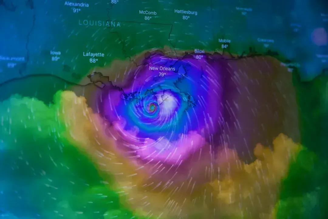
There isn’t a single official forecast model that everyone defers to. The Global Forecast System, run by the U.S., is used for broad weather outlooks, the European Centre for Medium-Range Weather Forecasts is known for high accuracy in extended forecasts, and regional models focus on specific countries or continents for more detailed predictions. Each has its own strengths depending on timeframe and location.
Because these systems don’t always align, comparing them is essential. These models do not agree perfectly, and part of a meteorologist’s job is figuring out which one, or which blend, best fits current conditions on any given day.
7. Ensemble forecasting accounts for atmospheric uncertainty
Running one version of a model gives you one possible future. Running dozens gives you a range of outcomes. An ensemble weather forecast is a set of forecasts representing the range of future weather possibilities, typically generated with slight variations in initial conditions and weather model perturbations, and represents a range of possible weather conditions and scenarios. This approach acknowledges that tiny errors in starting data can snowball into very different results days later.
This uncertainty has real limits on how far ahead forecasts can reliably reach. Ensemble forecasting provides an estimate of the types of weather that might occur, given inevitable uncertainties in the forecast initial conditions and in the accuracy of the computational representation of the equations, and these uncertainties limit forecast model accuracy to about six days into the future. Beyond that window, confidence drops off noticeably.
8. Human meteorologists still refine what the computer produces
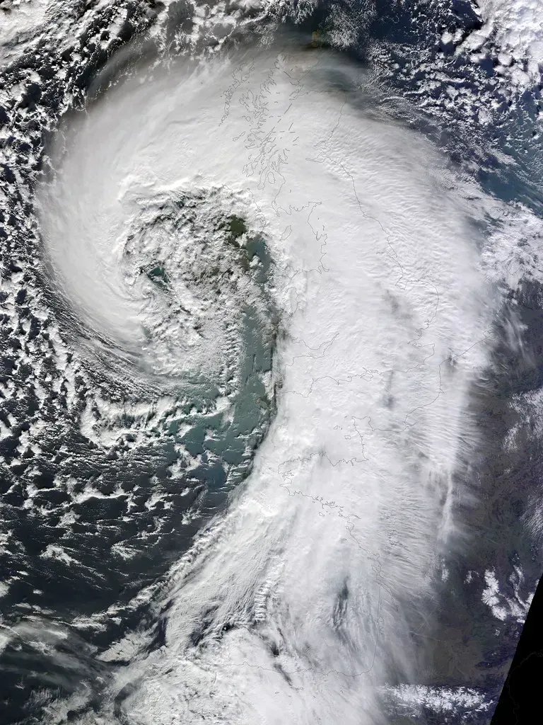
Despite all the computing power involved, machines don’t get the final word. Meteorologists combine the measurements and the output from the weather model, along with their own experience, to produce a weather forecast for the public. A model can miss local quirks that a trained forecaster catches immediately.
This blend of automation and expertise is often described as essential rather than optional. Though automated systems power much of today’s forecasting tech, human expertise remains vital, since meteorologists interpret raw data, recognize anomalies, and account for local factors that models may overlook, such as coastal moisture patterns or topographical influences. A computer doesn’t know that a particular valley traps fog every autumn morning. A local forecaster usually does.
9. Satellites and radar have transformed what’s observable
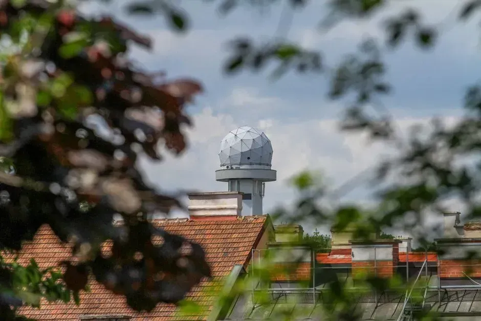
Weather watching used to depend heavily on manual instruments and scattered ground stations. That’s changed dramatically. Originally, trained observers manually recorded weather data, but today, most observations are automated using advanced technology. Automated sensors now feed continuous streams of information into forecasting systems around the clock.
Radar in particular has sharpened short term precision. Radar offers detailed rainfall data, down to scales of 1 kilometer, which lets forecasters track individual storm cells rather than just broad regional trends. That level of detail is part of why severe weather warnings can now target specific towns instead of entire counties.
10. Artificial intelligence is quietly reshaping the field

The newest shift in forecasting isn’t about bigger supercomputers, it’s about smarter software. Emerging forecasting tech now leverages artificial intelligence to enhance predictive performance, with AI systems analyzing historical trends across multiple regions, identifying correlations, and adjusting forecast models dynamically. These systems can spot patterns that traditional physics based models sometimes miss.
Speed has improved dramatically as a result. Machine learning weather models can produce 10 day forecasts with 6 hourly time steps in less than 2 minutes, a task that would take traditional supercomputers considerably longer to complete. Google’s WeatherNext project reflects this shift directly, as WeatherNext 3 is the first global weather model that generates forecasts every hour of the day, and unlike previous models, it draws directly from raw satellite imagery.
11. Only a small fraction of available data actually gets used
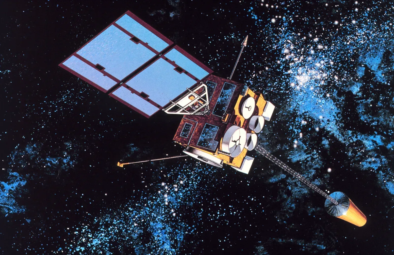
One of the more surprising truths in forecasting is how much information gets left on the table. Current data assimilation methods, though effective, are computationally expensive and typically use only 5 to 10 percent of available observational data to deliver timely analyses. That’s not a small gap, it’s the majority of collected data going unused in any single forecast cycle.
The scale of incoming information is only growing. The volume of observational data is projected to exceed 100 terabytes per day in the coming decade, with higher model resolutions further exacerbating computational demands. Improving how much of that data can actually be processed, rather than just collected, is one of the field’s biggest ongoing challenges. Forecasting has never been a single tool or a single genius guess. It’s layers of satellites, physics equations, competing models, and human judgment stacked on top of each other, refreshed constantly as new data rolls in. The next time a forecast turns out wrong, it’s worth remembering just how much had to go right for it to be correct in the first place.

- Flood and Cyclone Warnings: What Makes an Early Warning System Effective - October 14, 2026
- Saharan Dust Over Europe: What It Means for Air Quality and Sunsets - October 14, 2026
- Climate Normals: The 30-Year Averages Behind Every “Above Average” Forecast - October 14, 2026
