


- Tree Rings as Climate Archives: Tracing Centuries of Drought and Rainfall - October 14, 2026
- How Climate Change Affects Snowfall and Snowpack in Mountain Regions - October 13, 2026
- From Cumulus Cloud to Severe Storm: The Life Cycle of a Thunderstorm - October 13, 2026
1. The 1900 Galveston Hurricane
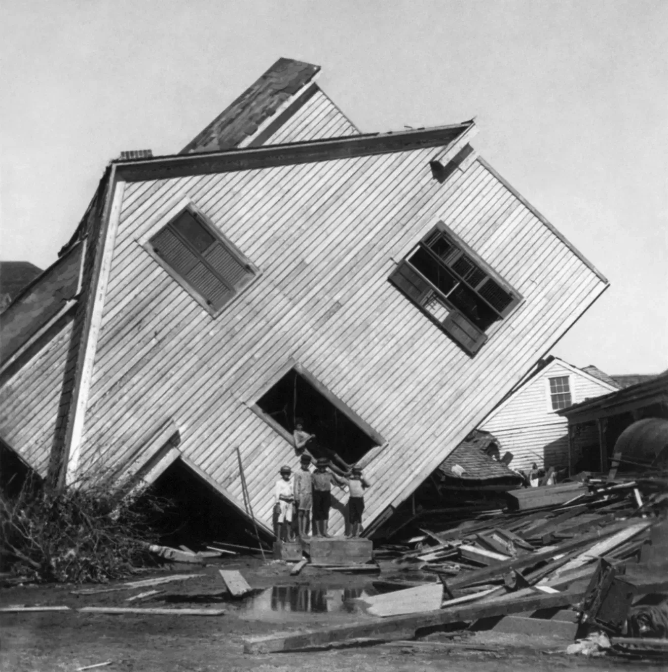
The Galveston Hurricane remains the deadliest natural disaster in American history, with death toll estimates ranging widely because record keeping at the time was so poor. A category four hurricane descended on the town, destroying more than 3,600 buildings with winds surpassing 135 miles per hour, and estimates of the death toll range from 6,000 to 12,000. The tragedy was made worse by bureaucratic decisions far from Texas.
The U.S. Weather Service itself had relatively little data on tropical storms but ignored and even blocked tropical storm warnings from experienced hurricane researchers at Belen Observatory in Cuba, who recognized the storm was moving into the Gulf. Local forecaster Isaac Cline tried to warn residents, but the U.S. Weather Bureau, which later became the National Weather Service, was criticized for its slow communication and reluctance to trust foreign observations, even though Cuban meteorologists had accurately warned of the storm’s severity. The disaster eventually pushed the agency to take tropical forecasting seriously and helped justify Galveston’s massive engineering response, including raising the entire city grade and building a new seawall.
2. The Tri-State Tornado of 1925
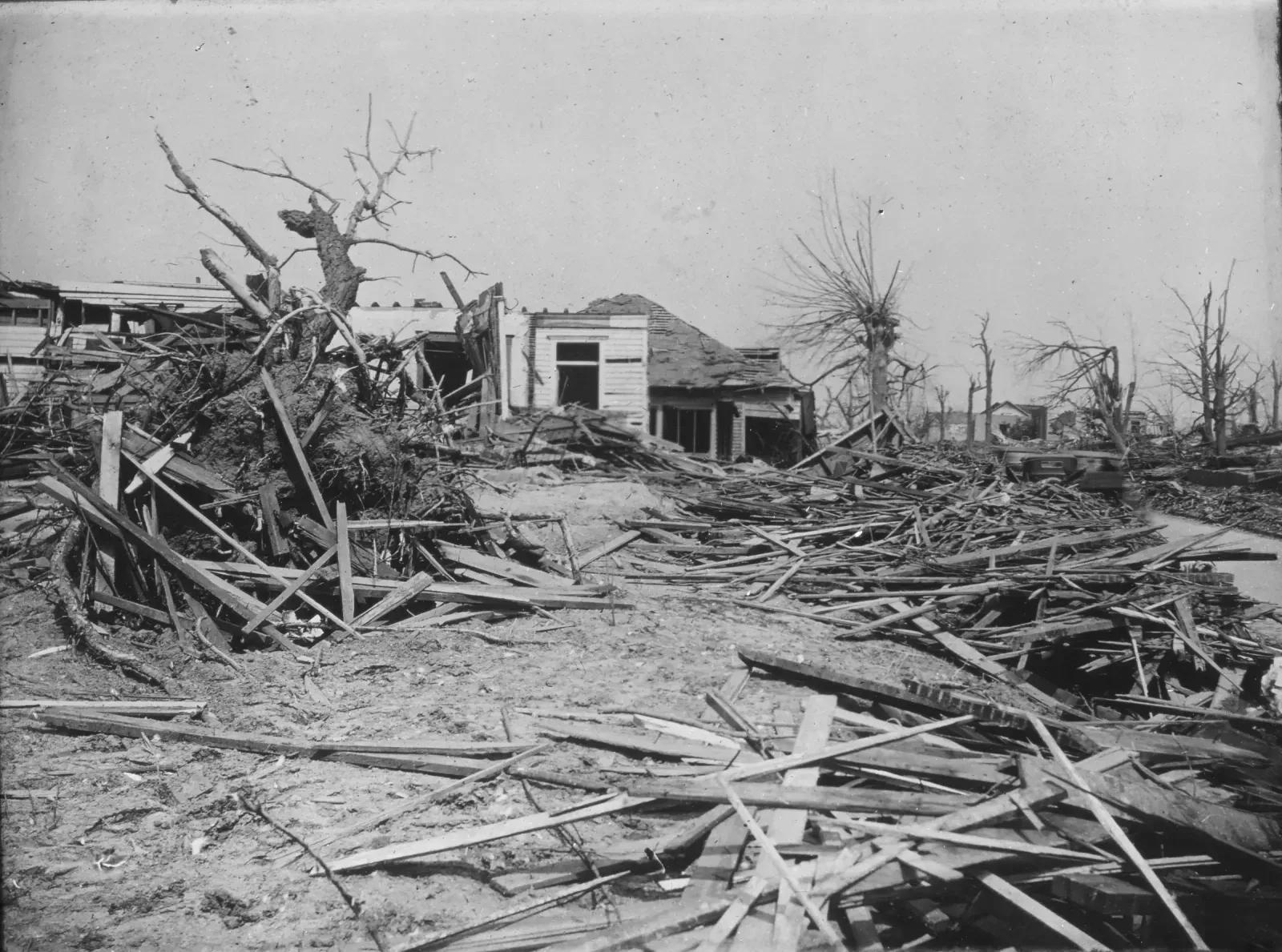
On March 18, 1925, a single long-track tornado tore through Missouri, Illinois, and Indiana, killing hundreds of people and destroying entire towns along its path. There was no tornado warning system at the time, and the word “tornado” was actually discouraged in official Weather Bureau forecasts for decades afterward, out of fear that public panic would cause more harm than the storm itself.
The scale of the destruction, combined with how little advance notice communities received, became a quiet turning point in severe weather research. It helped push meteorologists toward studying supercell structure and tornado climatology more seriously, groundwork that eventually supported the modern tornado warning system built decades later around radar detection. The storm is still used today as a benchmark for measuring the deadliest tornado events in U.S. history.
3. The Great New England Hurricane of 1938
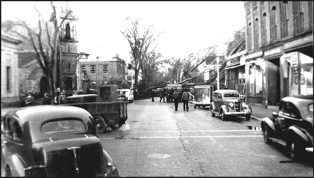
Sometimes called the Long Island Express, this hurricane slammed into the Northeast with almost no warning, catching forecasters and residents completely off guard. Communication between the Weather Bureau’s Washington office and regional forecasters was slow, and the storm’s rapid northward acceleration outran the forecasting tools available at the time.
The aftermath forced a serious rethink of how tropical systems moving along unusual tracks should be monitored, especially storms that speed up as they move north into cooler waters. It also became one of the early case studies used to argue for dedicated hurricane forecasting units, an idea that eventually matured into the National Hurricane Center. The storm is still referenced by meteorologists whenever a fast moving system threatens the Northeast, precisely because so few storms have replicated its speed and intensity.
4. The Great Blizzard of 1978 (Midwest)
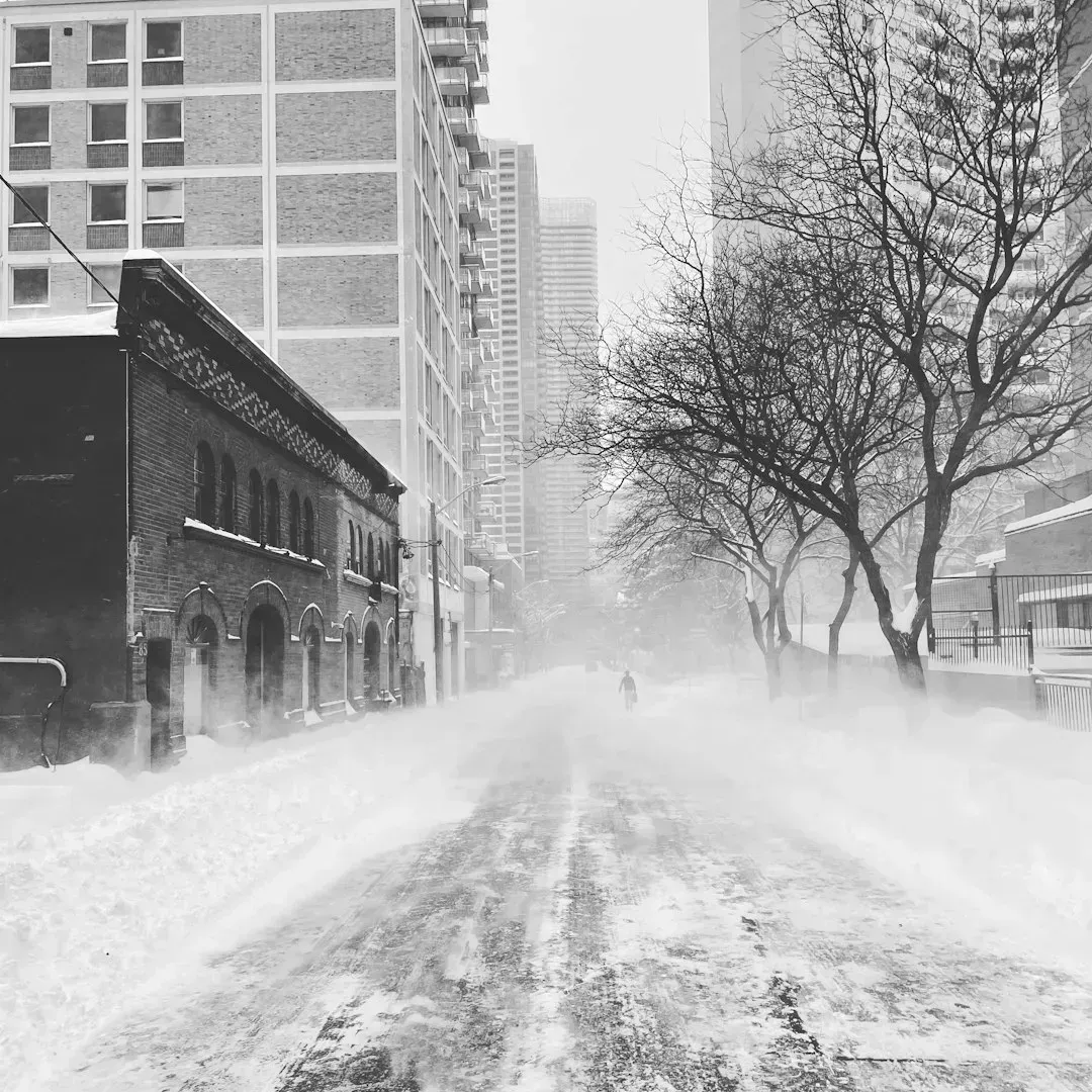
Often called the Cleveland Superbomb, this storm buried the Midwest under historic snow after two systems merged into what the National Weather Service called a storm “of unprecedented magnitude,” categorized as a rare severe blizzard, the severest grade of winter storm. Snow drifts of 10 to 20 feet made travel virtually impossible, stranding an Amtrak train and thousands of vehicles and travelers. Wind chills were brutal, and temperatures dropped to 0 degrees Fahrenheit that morning, with wind chills remaining at negative 40 to negative 50 degrees Fahrenheit nearly all day.
What stands out about this storm is how forecasters actually got the warning right in advance. The National Weather Service issued the first blizzard warnings late the evening before, based on computer models forecasting a major winter storm. Even so, the human and infrastructure toll pushed states to overhaul emergency response, and the storm’s death toll contributed to broader discussions on emergency management that influenced the reorganization of federal disaster assistance, including the establishment of FEMA in 1979.
5. The Blizzard of 1978 (Northeast)
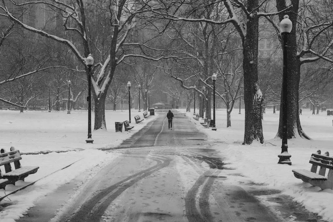
Just weeks after the Midwest storm, a separate and equally devastating nor’easter struck New England in early February. The overall storm caused 100 fatalities, 4,500 injuries, and 520 million dollars in damage, moving up the coast and approaching southern New England in early February. Because it developed during a new moon, an unusually large high tide occurred, and the storm brought a massive amount of water along coastal communities, with the huge storm surge resulting in broken sea walls and massive property loss.
What made this storm so instructive wasn’t just its size, it was how forecasters handled it. The LFM model actually did a particularly good job at predicting the blizzard, but most forecasters felt the bulk of the snow would come later in the evening, and it began hours earlier instead. Access to radar was primitive by today’s standards, since access to weather radar was limited in 1978, and TV weather offices got a radar update every 30 minutes on a difax machine, waiting minutes for each page to print. The storm led New England states to overhaul snow emergency protocols and highway response, and it remains the benchmark against which every major regional blizzard is still measured.
6. Hurricane Andrew (1992)
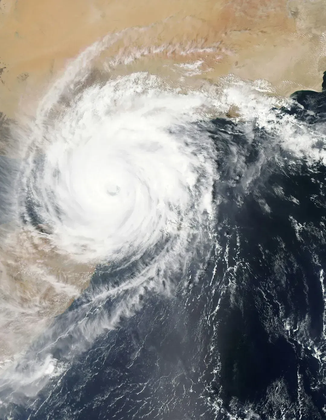
Hurricane Andrew tore through South Florida in August 1992 as one of the most powerful hurricanes to ever strike the U.S. mainland, flattening entire subdivisions in a matter of hours. What shocked forecasters and engineers alike was how much stronger the storm’s winds turned out to be than initial estimates suggested, exposing serious gaps in how wind speeds were measured and how building codes accounted for hurricane force winds.
In the years that followed, Florida rewrote its building codes to require hurricane resistant construction standards that are still referenced nationally today. The storm also accelerated investment in hurricane reconnaissance aircraft and improved wind field modeling, since the gap between forecast intensity and actual ground level destruction had been so wide. Andrew is frequently cited as the moment insurance companies and emergency planners started taking worst case hurricane scenarios far more seriously.
7. The Storm of the Century (1993)
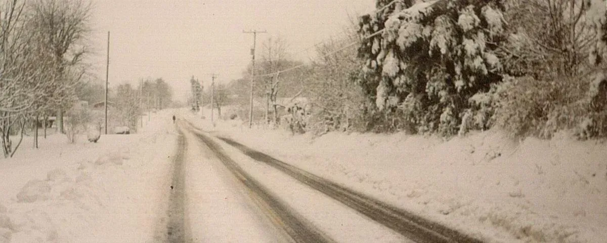
This massive nor’easter buried the eastern third of the country under snow in mid March 1993, but it’s remembered less for its size and more for how well forecasters saw it coming. National Weather Service forecasters were able to forecast a storm of this magnitude five days in advance and provide storm and blizzard warnings two days in advance, which was unprecedented and allowed preparations for the roughly 100 million people affected across the eastern United States. Despite the advance notice, more than 250 people died, aviation officials grounded a quarter of commercial flights for a two day period, and the nation incurred over 3 billion dollars in damage.
What made the storm historically significant wasn’t just the warning, it was the technology behind it. This storm marked the first time all the components of the modernized National Weather Service came together to usher in a new era where numerical weather prediction models would provide great advancements in weather forecasting. Longtime NWS forecaster Louis Uccellini later called it a defining moment, noting that “I believe it is a defining moment in our ability to predict these types of extreme events further out in time and do it in a way that people pay attention to it.”
8. Hurricane Katrina (2005)
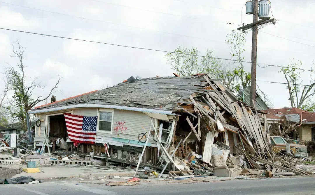
Hurricane Katrina remains one of the costliest and most consequential storms in American history, devastating the Gulf Coast and flooding New Orleans after levee failures overwhelmed the city’s defenses. In 2005, Hurricane Katrina swamped the Gulf Coast, flooding vulnerable New Orleans and driving millions from their homes. The storm’s track and intensity forecasts held up reasonably well, but the disaster exposed how little the public and local officials understood about storm surge risk specifically.
In the years since, forecasting agencies have rebuilt how they communicate that risk. High resolution mapping now shows people how high the water could get above ground level, something that really started in the aftermath of Katrina once forecasters realized the need to focus on storm surge predictability. The resolution of storm surge modeling has also improved, giving insight into the symmetry and topography of the land and revealing what surge risk looks like for a given community. Katrina essentially forced hurricane forecasting to treat water, not just wind, as the primary threat communicated to the public.
Taken together, these eight storms trace a slow, sometimes painful education. Galveston showed what happens when warnings are blocked or ignored. The Tri-State Tornado and the 1938 hurricane revealed how unprepared early twentieth century forecasting was for fast moving, high impact events. By 1978, computer models were finally catching storms in advance, even if snowfall timing still surprised people on the ground. The Storm of the Century proved that modernized numerical forecasting could buy days of lead time rather than hours. Andrew rewrote building codes, and Katrina rewrote how storm surge risk gets explained to the public. Each storm forced forecasters to fix a specific blind spot, and each fix is quietly built into the forecast you check on your phone today.