


- Real Estate Analysts Just Changed Their Mind About the Safest Places to Buy – Here’s Why - November 12, 2026
- Black Holes Firing Beams at Near-Light Speed – 5 Cosmic Engines Warping Spacetime - November 12, 2026
- Silent Rogue Worlds Drifting in Total Dark – 6 Planets Ejected From Their Star Systems - November 12, 2026
Look up on almost any day and you’ll see something worth reading. Clouds aren’t random shapes. They form in specific conditions, at specific heights, and each family hints at what the air is doing.
Meteorologists group them by altitude and form, a system that traces back to the early nineteenth century and is still maintained today by the World Meteorological Organization. Here are nine common types, and what they tend to tell you about the hours ahead.
Cumulus: The Fair Weather Puffball
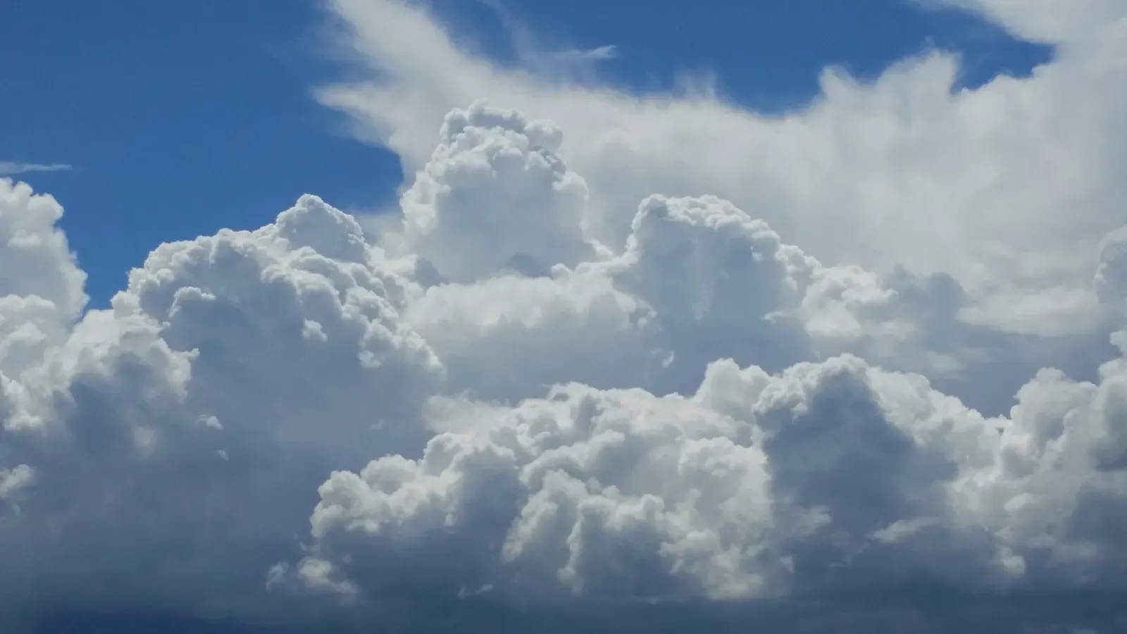
Cumulus clouds are the classic cotton-like heaps with flat bases and rounded tops. They form when warm air rises from the ground, cools, and condenses into visible droplets. Because that rising air is usually driven by daytime sunshine, they often show up on pleasant afternoons.
Small, scattered cumulus usually signal stable, dry weather. Still, they can be early drafts of something bigger. If they keep growing taller through the day, the atmosphere may be turning unstable.
Cumulonimbus: The Thunderstorm Engine

Cumulonimbus clouds are towering giants that can stretch from low levels up near the top of the troposphere. They’re the only cloud type that produces thunder and lightning. Their tops often flatten into an anvil shape where rising air hits a stable layer.
Expect heavy rain, gusty winds, and sometimes hail when one arrives. Severe ones can also be linked to tornadoes. If you see a dark, rapidly growing tower, it’s sensible to head indoors.
Stratus: The Gray Blanket
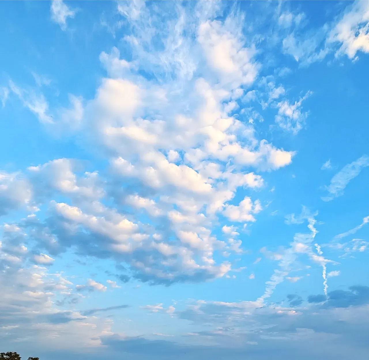
Stratus forms a flat, featureless layer low in the sky, often looking like an overcast ceiling. It develops when a broad layer of moist air cools gradually. Fog is essentially stratus that touches the ground.
The weather it signals is dull rather than dramatic. Think gloomy skies, drizzle, or light mist. Stratus often burns off by midday when the sun warms the air enough to break the layer apart.
Stratocumulus: Lumpy Low Cover
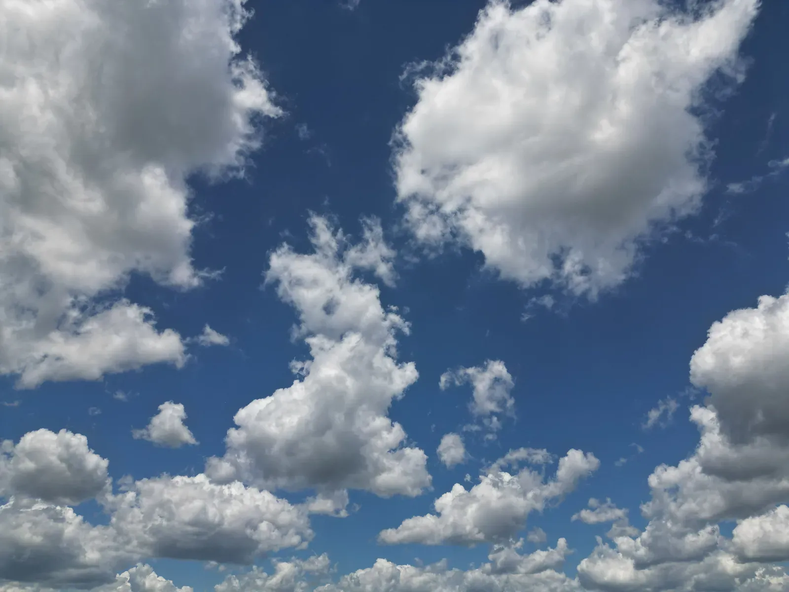
Stratocumulus appears as low, rolling patches or rolls of gray and white, with blue gaps sometimes visible between them. It’s among the most common clouds worldwide. It often forms when a layer of cloud is stirred by weak turbulence.
It rarely brings much more than light rain or drizzle, and often none at all. Typically it means weather that’s cloudy but fairly settled. It can thicken into steadier cloud ahead of an approaching system.
Nimbostratus: The Steady Rain Maker

Nimbostratus is a thick, dark gray layer that blots out the sun. It usually comes with warm fronts or broad systems where air is lifted slowly over a wide area. Unlike thunderstorm clouds, it has little vertical drama.
The reward is persistent rain or snow that can last for hours. If the sky turns to this uniform gloom and the precipitation begins, it’s often settled in for a while. Plan on a wet day, not a quick shower.
Altocumulus: Mid Level Patches

Altocumulus clouds sit in the middle layer of the atmosphere, appearing as white or gray patches, ripples, or small rounded masses. They’re bigger than the tiny wisps of cirrocumulus but smaller than most low clouds look. A good rule of thumb is that they appear about the size of your thumb held at arm’s length.
On a warm, humid morning, they can hint at thunderstorms later in the day. Otherwise they often just reflect changing moisture aloft. Watch whether they thicken or build upward.
Altostratus: The Veil Before the Rain

Altostratus is a gray or bluish mid level sheet that often makes the sun look like it’s behind frosted glass. It frequently spreads ahead of a warm front. In many cases, it lowers and thickens as the system nears.
This one often precedes steady rain or snow within several hours. It doesn’t always deliver, though, and sometimes it thins out and drifts away. Still, a sun dimmed behind a growing gray veil is worth noticing.
Cirrus: Wispy Hints From Above
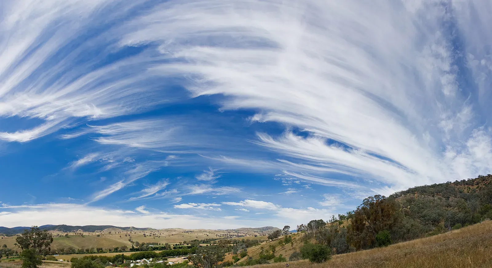
Cirrus clouds are thin, feathery streaks made of ice crystals high in the sky. They usually sit well above where aircraft fly low, often at levels where temperatures are far below freezing. Their delicate look can make them seem harmless.
Alone, they signal fair weather. However, when they thicken and spread, they can point to an approaching warm front, with rain possibly following in a day or so. The direction and speed they drift offer extra clues.
Cirrostratus: The Halo Maker
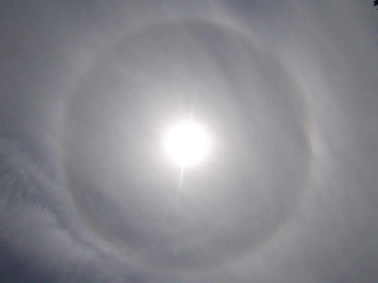
Cirrostratus is a thin, transparent sheet of ice crystals that can cover the whole sky. It often gives the sun or moon a ring of light known as a halo. That effect comes from light bending through the ice crystals.
A halo is a traditional clue that precipitation may be on the way, frequently within about a day. The cloud often thickens into altostratus as a front approaches. It isn’t a guarantee, but it’s one of the more reliable early warnings.
Together, these nine types give a practical sky reading guide: low and lumpy usually means settled, tall and dark means storms, and thickening veils from above often mean rain is on its way.
