


- The Planet Where It Rains Liquid Glass – 7 Alien Worlds Defying Known Physics - November 14, 2026
- Stars Consuming Entire Worlds – 6 Planetary Systems Swallowing Their Own Worlds - November 14, 2026
- The Ground Liquefies Like Water – 6 Silent Fault Lines Geologists Watch Closely - November 14, 2026
In the third week of November 2022, parts of the Buffalo area went from bare ground to snow piled above doorknobs in about two days. Some suburbs south and east of the city were buried while neighborhoods only a few miles north saw far less. That sharp divide is one of the most striking things about lake effect snow.
The storm wasn’t a sprawling system like a nor’easter. It was a narrow, stubborn ribbon of snow that sat over the same places for a long time. Understanding why it formed, and why it stayed put, explains a lot about how this weather works.
What Happened Between November 17 and 20
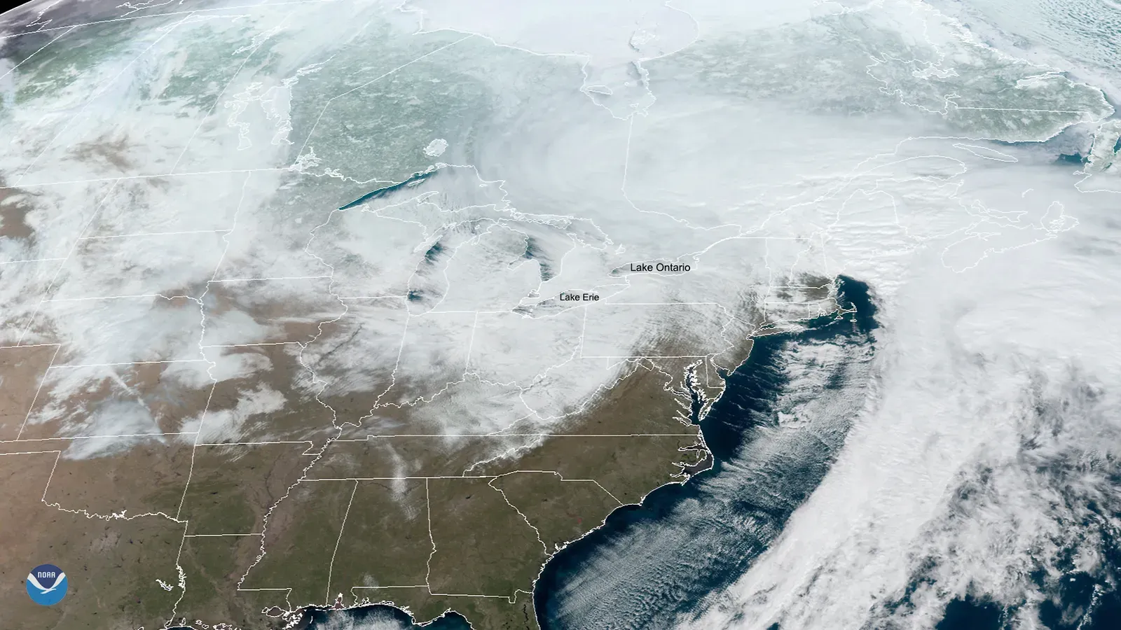
The event began on Thursday, November 17, and ran into the weekend. The National Weather Service in Buffalo tallied totals of roughly 5 to more than 6 feet in the hardest hit southern suburbs, including the Orchard Park and Hamburg area. Those places sit just south and southeast of the city.
Buffalo’s own airport, meanwhile, recorded far less than the suburbs did. That gap wasn’t a measurement error. It showed how tightly the snow band was focused.
Why Lake Erie Matters in Late Autumn
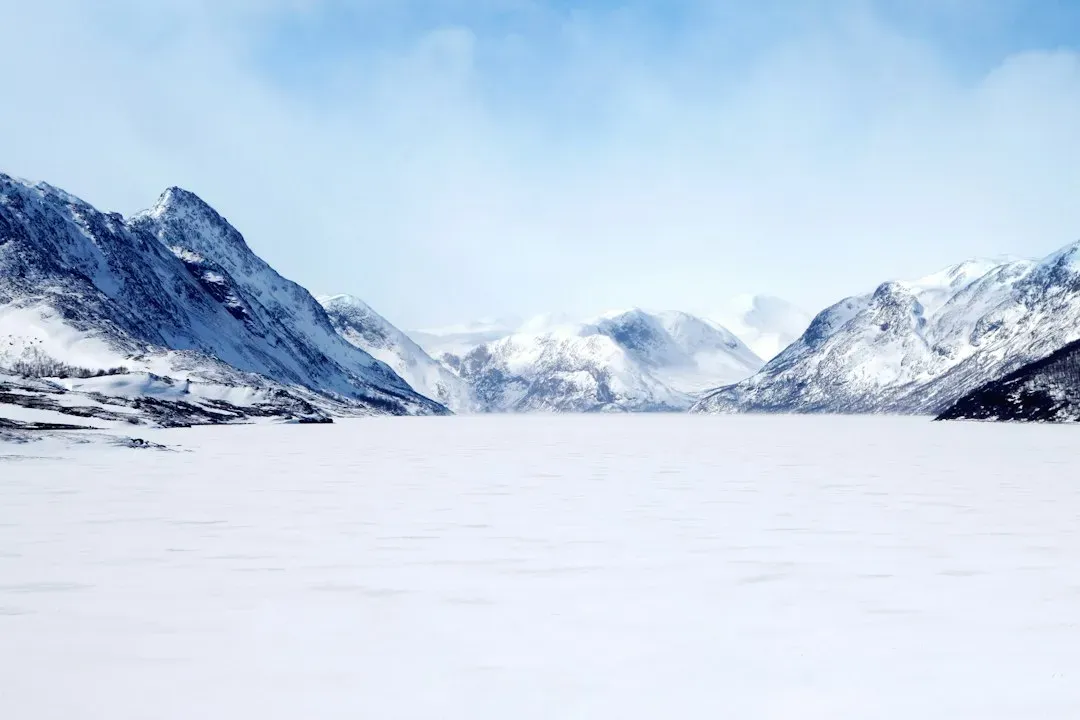
Lake effect snow needs a temperature contrast between warm water and cold air. By mid November, Lake Erie still holds heat from summer and fall, so its surface can be many degrees warmer than the air above it. Lake Erie also hasn’t frozen over yet at that point, so the water is open and free to give up moisture.
Early winter is therefore prime time. Later in the season, ice can cover much of the lake and shut the process down.
The Cold Air Mass That Set It Off
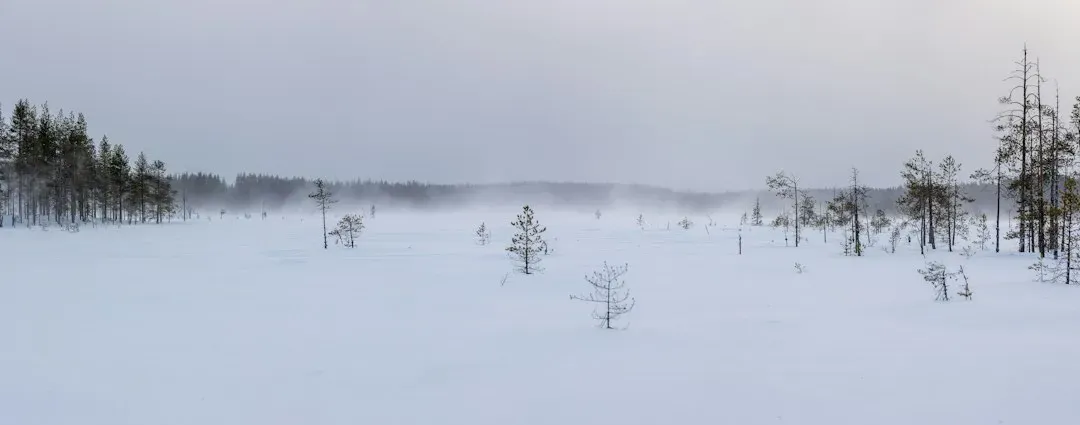
A surge of Arctic air moved across the Great Lakes region ahead of the storm. When that cold air passed over the relatively mild water, the lowest layer of the atmosphere warmed and picked up moisture. Warm, moist air near the surface is unstable, so it rises quickly.
That rising air cools, and the water vapor condenses into cloud and then snow. The bigger the contrast between lake and air, the more vigorous the lift.
Fetch and the Shape of the Lake
Fetch is the distance the wind travels over open water. Lake Erie is long and runs southwest to northeast, and Buffalo sits at its eastern end. When winds blow along that long axis, the air spends hours absorbing heat and moisture before it reaches land.
In this event the flow lined up with the lake’s length. A long fetch gives the air more time to load up, which is why Buffalo gets such powerful bands under the right wind direction.
A Band That Barely Moved
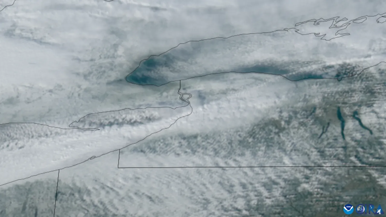
Forecasters watch the steering winds closely. When the wind direction holds steady, a single band of snow can stay over one corridor instead of sweeping across the region. In November 2022, the band stalled and then shifted only slowly, hammering the same communities for many hours.
Snowfall rates in intense bands like this can reach several inches per hour. A few hours at that pace adds up to a foot or more, and a day or so adds up to several feet.
Thundersnow and Extreme Rates
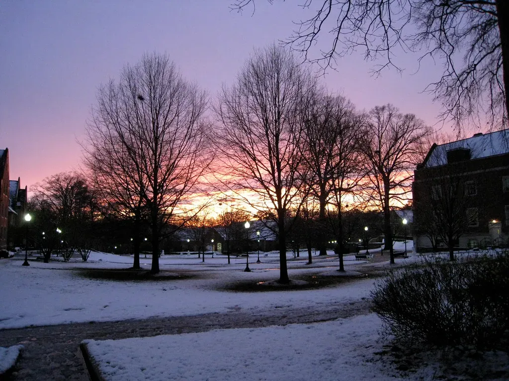
Strong lake bands can be so unstable that they produce lightning and thunder, a phenomenon called thundersnow. The sound is often muffled by the snow, but it signals very strong lift in the clouds. It tends to show up when snowfall rates are at their highest.
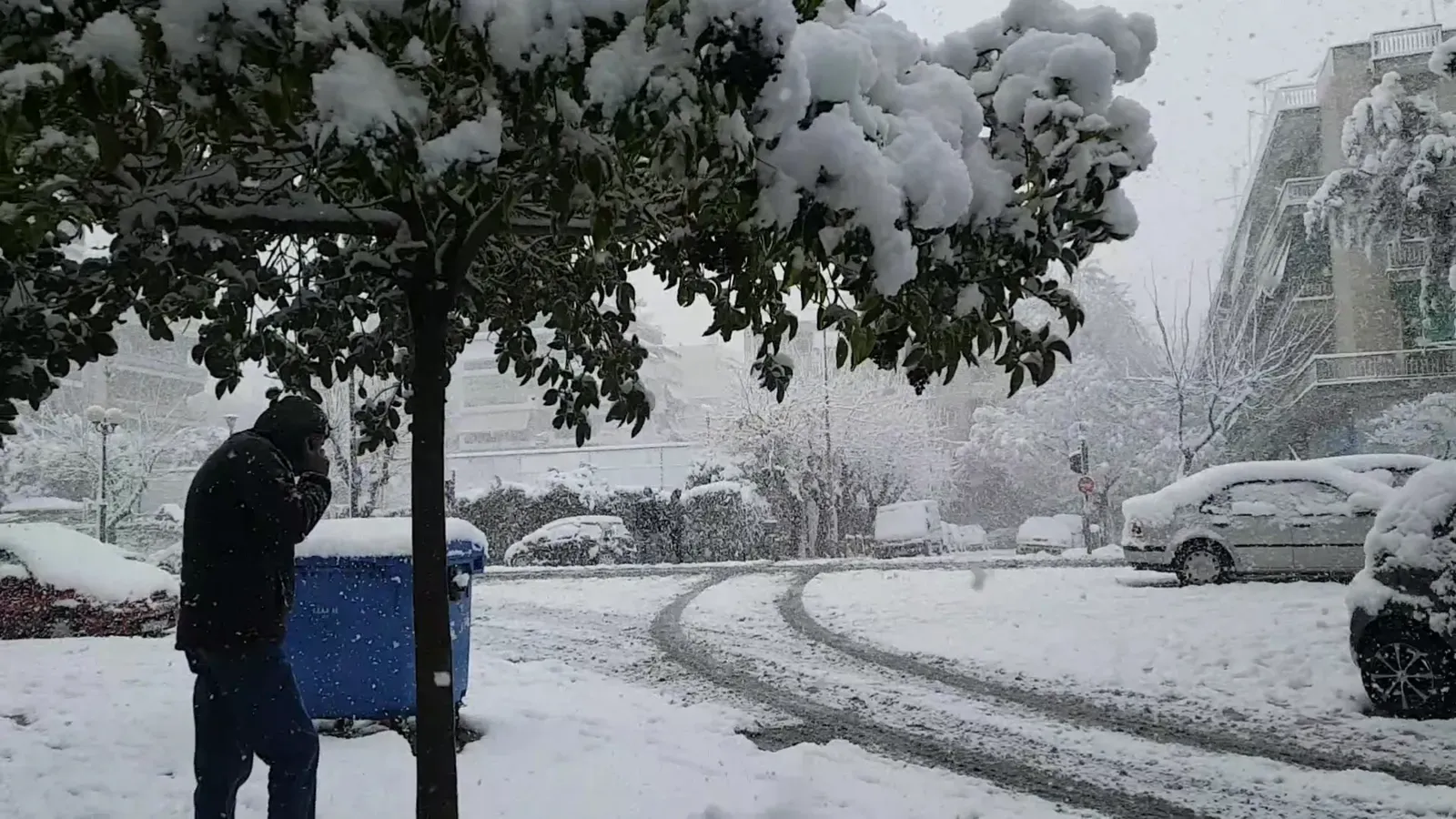
Such rates cut visibility to almost nothing and bury roads faster than plows can clear them. Cars stranded on highways became a major problem during the storm.
Why Totals Differ Over Short Distances
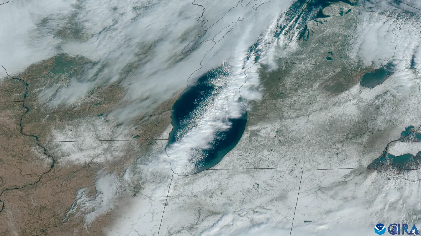
Lake effect snow is far more local than other winter storms. The heaviest part of a band can be only a handful of miles wide, so one town can get several feet while another nearby gets a dusting. The line between them can run along a single road or a county border.
That is why Buffalo’s forecasts often name specific suburbs and not just the city. A small shift in wind direction can move the worst snow from one community to another.
Impacts on the Region
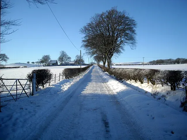
The snow caused widespread travel bans, closed roads and left many people stuck in vehicles or homes for a long stretch. Erie County officials reported a number of storm related deaths, and many of those involved cardiac events, exposure or being stranded. The National Football League moved the Buffalo Bills’ home game that weekend to Detroit because the stadium area was buried.
Crews had to clear a huge volume of snow, and a following warm spell brought flooding concerns as it melted. The event became a case study for emergency planners across the Great Lakes.
How Forecasters Track These Bands
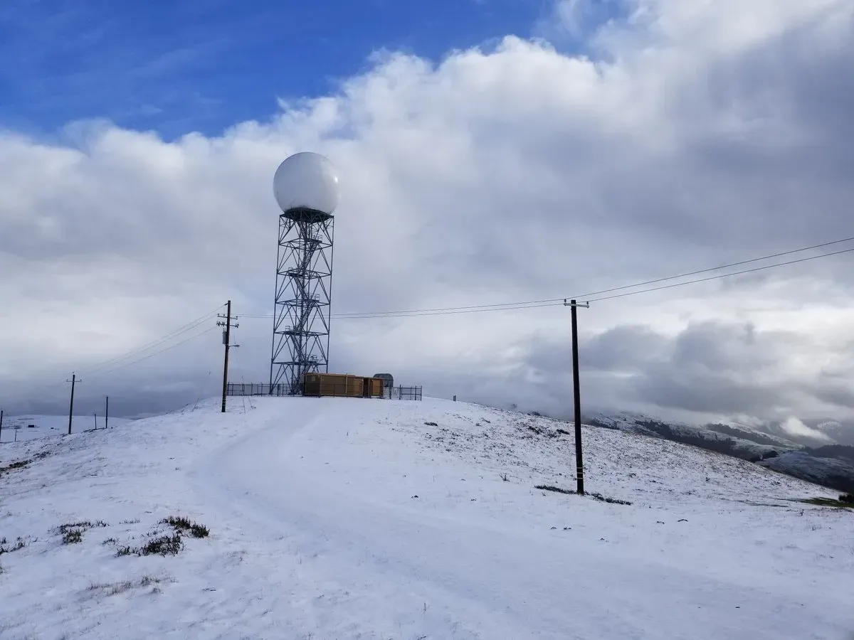
Meteorologists use radar, surface observations and high resolution computer models to anticipate where a band will set up. The National Weather Service issues lake effect snow warnings that focus on specific counties and time windows. Wind direction, lake temperature and the depth of the cold air are the main ingredients they watch.
Even so, the exact placement of the band is notoriously hard to pin down far ahead of time. Small errors in wind direction can shift the heaviest snow by miles, which is why warnings are updated often as the event unfolds.
