


Weather forecasting has always been part science, part educated guessing, but 2026 has given meteorologists an unusually tricky puzzle to solve. A weak La Niña dominated the first months of the year, then dissolved faster than almost anyone expected, giving way to what some forecasters now think could become a strong or even “Super” El Niño by winter. That kind of rapid flip between opposite ocean patterns tends to scramble seasonal rules of thumb, which is exactly why I decided to ask ChatGPT for its read on where things might get roughest.
I wasn’t looking for a crystal ball. I wanted a starting point, then went back and checked its answer against actual outlooks from NOAA, Copernicus, and the seasonal hurricane teams that track this stuff for a living. What follows is that combined picture, region by region.
The US Midwest and Great Plains: whiplash between extremes
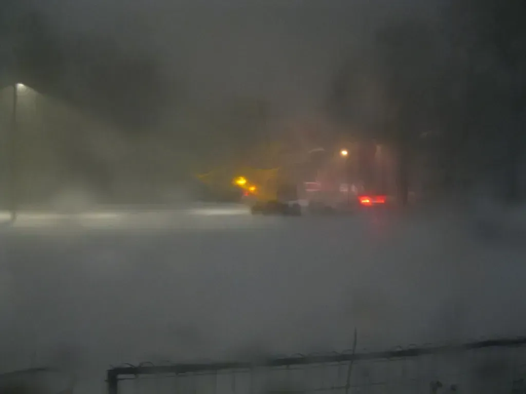
ChatGPT flagged the Midwest almost immediately, and the data backs that instinct. Forecasters have long noted that La Niña winters can be rather volatile across the Midwest U.S., often featuring big temperature swings and brutal surges of arctic air. This past winter followed that script closely, with cold snaps interrupted by stretches that felt more like early spring.
The bigger twist is what comes next. La Niña was favored to continue into the Northern Hemisphere winter, with a transition to ENSO-neutral most likely in January-March 2026, and that handoff period is historically when models struggle most. Add a fast-approaching El Niño on the other side of that transition, and the region is essentially getting squeezed by two competing climate signals in the same year.
Western Europe: a heat regime rewriting records
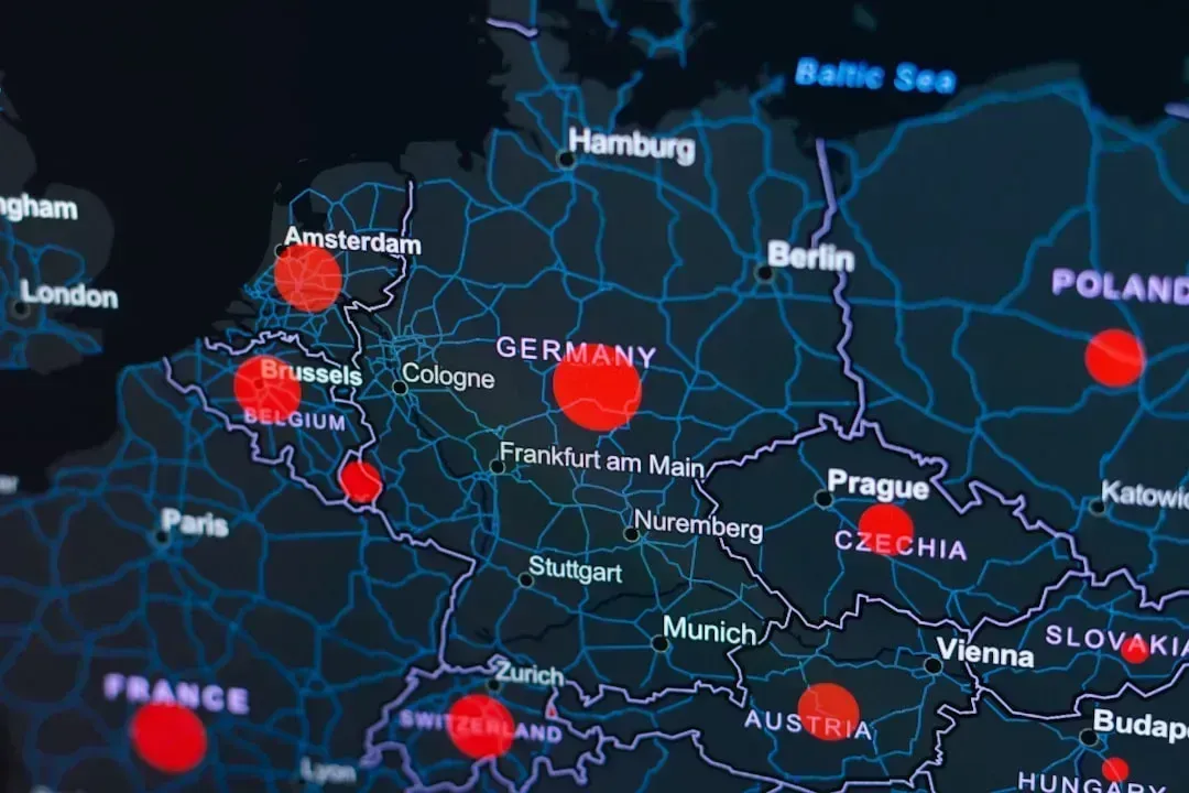
This is the region ChatGPT described with the least hedging, and for good reason. June 2026 was the hottest June recorded for western Europe and the second warmest globally, a milestone that stunned even climate scientists who study these trends for a living. The heat wasn’t a one-off spike either; Copernicus reported an unusually early and intense heatwave over Western Europe in May 2026, with daily average temperatures in western France, England and Wales more than 10°C above average.
By the following month, conditions had escalated further. The June wave pushed land surface temperatures above 50°C in parts of France and Spain and triggered red alerts from national agencies. Official tracking later confirmed the scale of it, noting that the first of these heatwaves, starting on 24 May, was a historic record-shattering heatwave that resulted in temperatures of 10 to 15 degrees Celsius higher than normal. Few regions on this list have swung so dramatically from a cold winter start to a scorching summer peak.
The Pacific Northwest and western US: from drought grip to a wetter turn
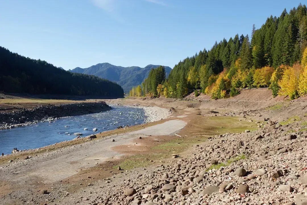
ChatGPT pointed out something easy to miss: this region is essentially caught between two different climate regimes within a single year. Early summer conditions leaned dry, with CPC leaning toward below-normal rainfall for June, though pockets like western Washington and far northeast Washington received slightly above-normal precipitation from periodic systems, while most other areas remained drier.
Drought had already been building through the prior winter, when the outlook favored continued and worsening drought conditions from southern Texas to California, but the Pacific Northwest could see improving drought conditions. Looking further out, the picture flips again, since El Niño often brings warmer, drier fall and winter conditions to the Pacific Northwest by shifting the storm track south, leading to more sunny days and fewer precipitation days. That’s a genuinely confusing sequence for anyone trying to plan around “normal” seasonal expectations.
South Asia: extreme heat now, an uncertain monsoon later
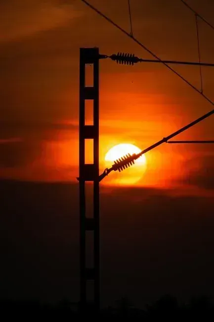
India came up early in ChatGPT’s answer, and the timeline it described matches what actually happened on the ground. South Asia is accustomed to sustained heat in the months leading up to the monsoon in June, but this year the area often referred to as the Indian Subcontinent suffered unprecedented heatwaves from mid-April onward. Attribution scientists moved quickly on this one, and their analysis found that meteorological conditions similar to the event are now up to 2°C warmer than in the past, tying the extreme heat directly to a warming climate rather than random variability.
The monsoon that was supposed to bring relief has been its own source of uncertainty. Rainfall data through midsummer showed India’s monsoon was running below its Long Period Average, with July rainfall tracking near 94% of normal even as temperatures stayed above average across most of the country. That combination of a scorching spring and a monsoon that never quite compensates is precisely the kind of swing that makes seasonal planning so difficult for farmers and water managers across the subcontinent.
The Gulf Coast, Caribbean, and Southeast US: a quieter but still risky hurricane season
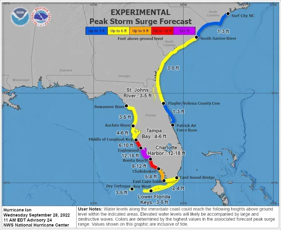
Here’s where ChatGPT’s answer needed the most nuance, because “quieter” doesn’t mean “safe.” Colorado State University’s tropical meteorology team has steadily trimmed its numbers as El Niño strengthened, and by early July it was forecasting only nine storms, four of which will become hurricanes and only one of which will reach Category 3 status or stronger. That would mark the fewest storms in any Atlantic season since 2014, the fewest hurricanes since 2015 and the fewest Category 3 or stronger hurricanes since 2013.
Still, fewer storms is not the same as zero risk. NOAA’s own outlook gave a 55% chance of a below-normal season, a 35% chance of a near-normal season, and a 10% chance of an above-average season, language that leaves plenty of room for surprises. As one NOAA official put it bluntly, “It only takes one storm to make for a very bad season,” a reminder that a quiet overall tally can still hide a devastating individual landfall.
The Upper Midwest and Great Lakes: drought deepens, then reverses
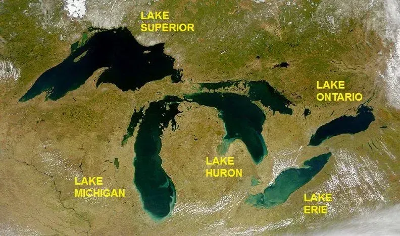
ChatGPT described this region as one of the more slow-motion swings on the list, and the seasonal outlooks agree. Heading into fall, forecasters noted ongoing dryness and a slight tilt toward dry conditions through the fall resulted in the expectation of drought expansion in the Upper MS Valley and Upper Great Lakes. That followed a winter pattern where models generally agreed on a cold interior Canada and north-central U.S., with a mild southern U.S.
Precipitation swung in an equally uneven way across the season. The same long-range guidance showed above normal precipitation favored for the Pacific Northwest as well as into a good portion of the Midwest and Great Lakes, while below normal precipitation is favored across the Southern U.S., especially for Florida and California. For a region that depends heavily on consistent moisture for agriculture, that kind of back-and-forth between drought expansion and above-normal rainfall forecasts within the same year is genuinely unusual.
Southeast Asia and the western Pacific: the classic El Niño dry bias
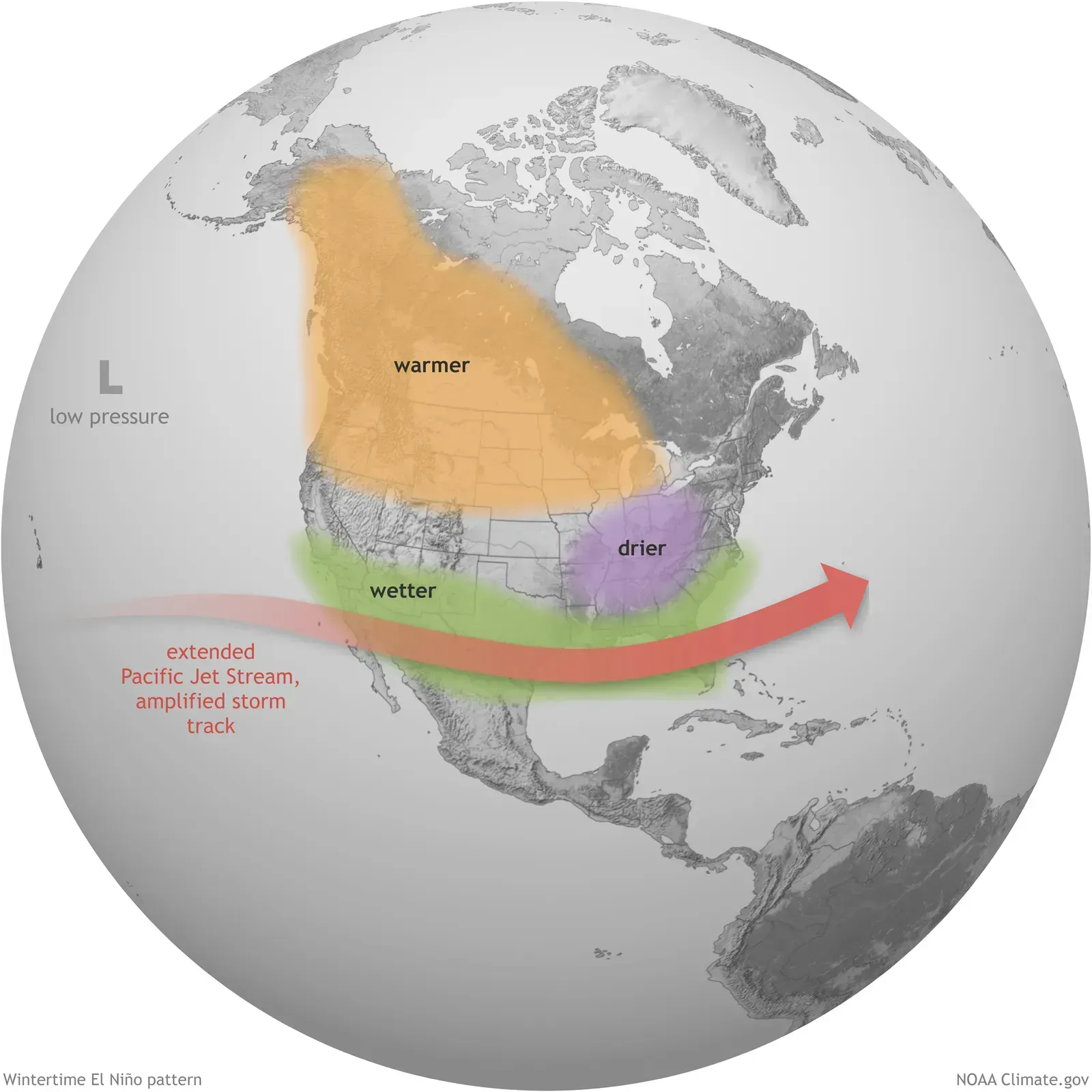
When I pushed ChatGPT on which regions tend to get overlooked in these discussions, it brought up Southeast Asia, and the reasoning holds up. El Niño years have a well-documented tendency to suppress rainfall across Indonesia, Malaysia, and the Philippines, since the same shift in Pacific trade winds that warms the eastern ocean tends to starve the western Pacific of its usual moisture supply. With a strong or potentially “Super” El Niño building through the back half of 2026, water managers and palm oil and rice producers across the region have reason to watch the second half of the year closely.
It’s worth being careful here, since the exact severity of any given El Niño’s impact on this region varies quite a bit from event to event, and forecasters are still refining their confidence in how strong this one will ultimately get. What’s consistent across past strong El Niño years is the direction of the risk, even if the magnitude stays uncertain. That mix of a well-known pattern and an unusually fast-moving ocean signal is what makes 2026 worth watching here.
Southern Africa: watching for a familiar drought signal
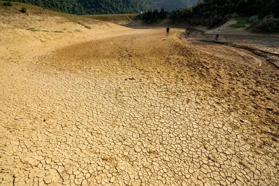
Southern Africa showed up in ChatGPT’s answer as well, tied to the same El Niño mechanics driving concern in Southeast Asia. Historically, strong El Niño events have coincided with reduced rainfall across parts of South Africa, Zimbabwe, and Mozambique during the region’s wet season, which typically runs from roughly November through March. Given the timing of this year’s expected El Niño peak, that wet season overlap is exactly the kind of coincidence regional agricultural planners tend to flag early.
None of this is a guaranteed outcome, and it’s important to say so plainly. Past El Niño events have produced a range of outcomes across southern Africa depending on other factors layered on top, like the Indian Ocean Dipole, so the honest answer is that confidence here is lower than in regions with more direct, immediate observational data. Still, it’s a pattern worth tracking as the year moves into its second half.
Australia: a wobble between wet and dry extremes
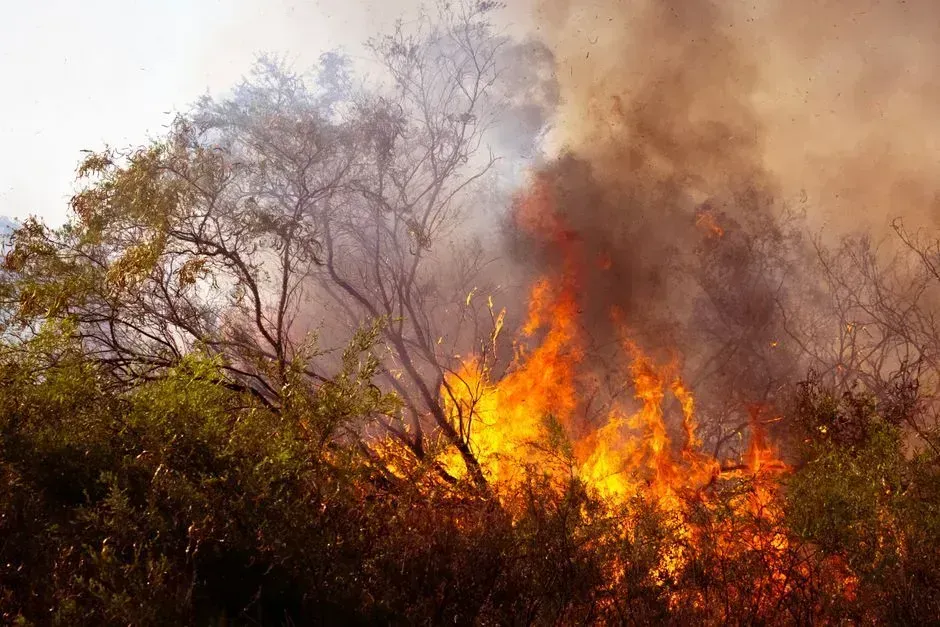
Australia rounded out ChatGPT’s list, and the country’s history with rapid ENSO swings makes it an intuitive pick. Coming out of a La Niña influenced stretch, the shift toward El Niño typically nudges eastern and southern Australia toward drier, hotter conditions, since that ocean pattern tends to suppress the rainfall systems that usually roll in off the Pacific. Past strong El Niño years have coincided with some of the country’s more severe bushfire seasons, which is the connection most Australians instinctively make when they hear the term.
That said, the specific severity for 2026 remains genuinely uncertain at this point in the year, and it’s worth resisting the urge to draw a straight line from ocean temperatures to guaranteed fire risk months in advance. Local rainfall, soil moisture, and vegetation dryness all matter just as much as the broader ENSO signal. What can be said with more confidence is that a fast transition from one ENSO extreme to another tends to produce more variable, harder to predict seasonal outcomes than a slow, stable pattern would.
Final thoughts
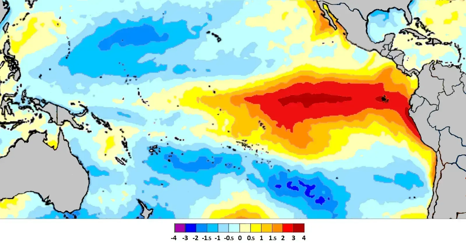
What struck me most after comparing ChatGPT’s answer against the actual data wasn’t any single region, it was the pattern connecting all of them. A rapid ocean transition, from La Niña fading out to El Niño building in, seems to be behind nearly every swing on this list, whether that’s Europe’s record June heat, India’s brutal spring, or the quieter but still nervous hurricane season taking shape in the Atlantic.
None of this means chaos is guaranteed everywhere ChatGPT pointed to. Seasonal forecasting still comes with real uncertainty, and some of these signals will firm up while others fade as the year goes on. Still, if there’s one takeaway worth holding onto, it’s that 2026 is shaping up to be a year where the old seasonal rulebook needs a few extra footnotes.
