
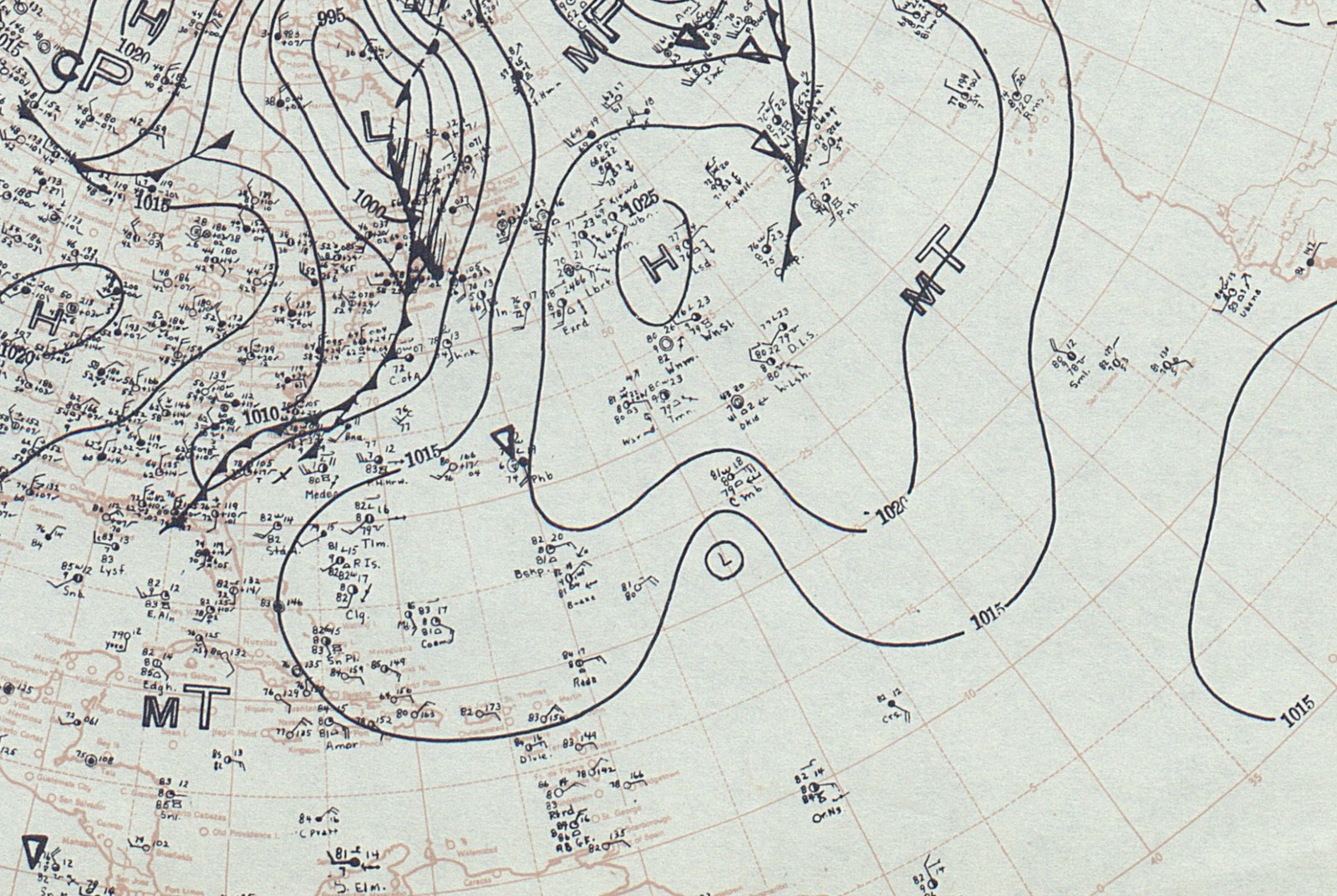
On the afternoon of September 21, 1938, many people along the Long Island and southern New England shorelines were going about an ordinary Wednesday. Some were at work, some were at school, and a few were walking the beach to look at the unusually high surf. Within hours, the coast they knew was gone.
The storm has gone by several names, including the Long Island Express and the Great New England Hurricane. It remains one of the most destructive tropical cyclones ever to hit the northeastern United States. Its effects on the land, on forecasting, and on coastal building are still visible today.
A Storm Born Off Africa
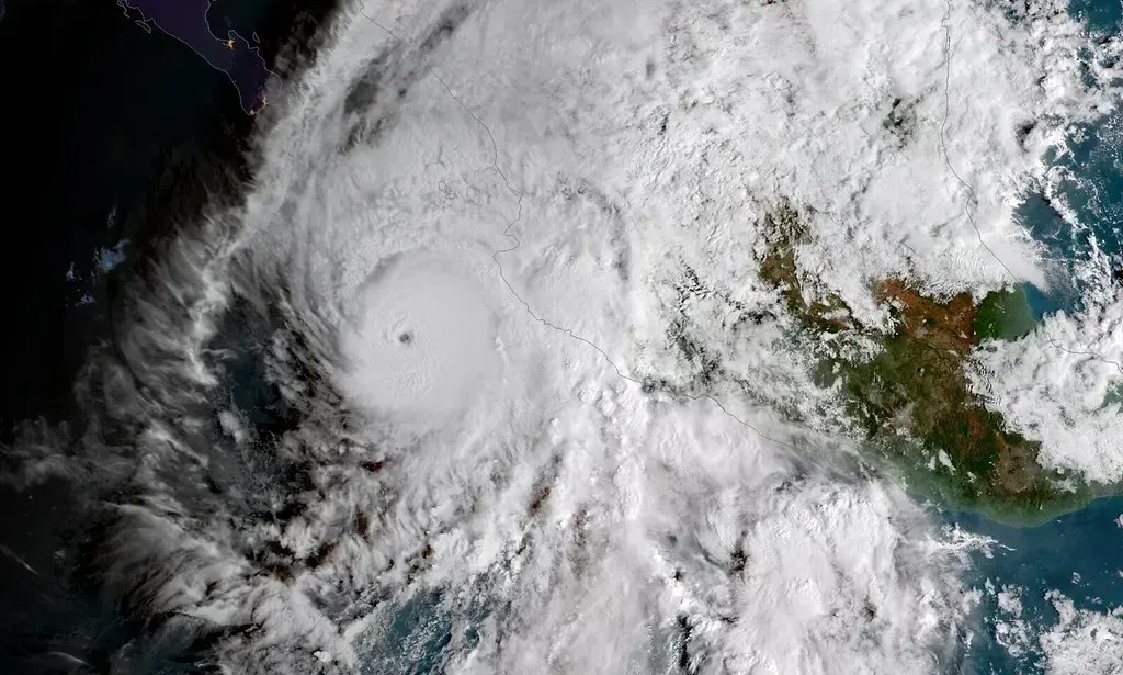
The hurricane began as a tropical wave that moved off the coast of Africa in early September 1938. It strengthened over the Atlantic and reached major hurricane intensity as it tracked toward the western Atlantic. At its peak far out at sea, it was a powerful Category 5 storm.
It weakened somewhat before reaching the Northeast, and it came ashore as a Category 3 hurricane. That is still a formidable strength for a region rarely hit by storms of that class. The setting made it worse, because the storm had a very unusual path.
Why Nobody Saw It Coming
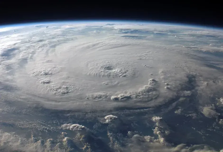
Most hurricanes that reach the Northeast have weakened over cooler water and slowed down. This one did the opposite. It curved north along the East Coast and, guided by a trough of air to its west, raced ahead at a forward speed of roughly sixty miles per hour, according to NOAA accounts.
Forecasters at the time widely expected the storm to turn out to sea or to strike Florida or the Carolinas. There were no satellites, no hurricane hunter aircraft, and no radar. Ship reports and land stations were the main tools, and they left large gaps in the picture, so warnings reached the public very late or not at all.
Landfall on Long Island
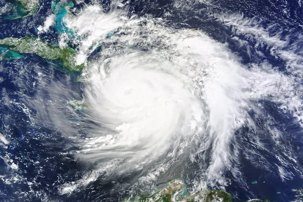
The center of the storm crossed Long Island’s south shore in the mid afternoon, in Suffolk County. It then moved across Long Island Sound and made a second landfall near Milford, Connecticut. The fast forward speed added to the wind on the storm’s eastern side, which is the side that struck much of New England.
Observers reported a very low central pressure for the region, and wind gusts at Blue Hill Observatory near Boston reached a reported peak of around one hundred eighty six miles per hour. That reading came from an exposed hilltop instrument. Even allowing for that, the damage on the ground showed how severe the winds were.
The Surge That Swallowed the Shore
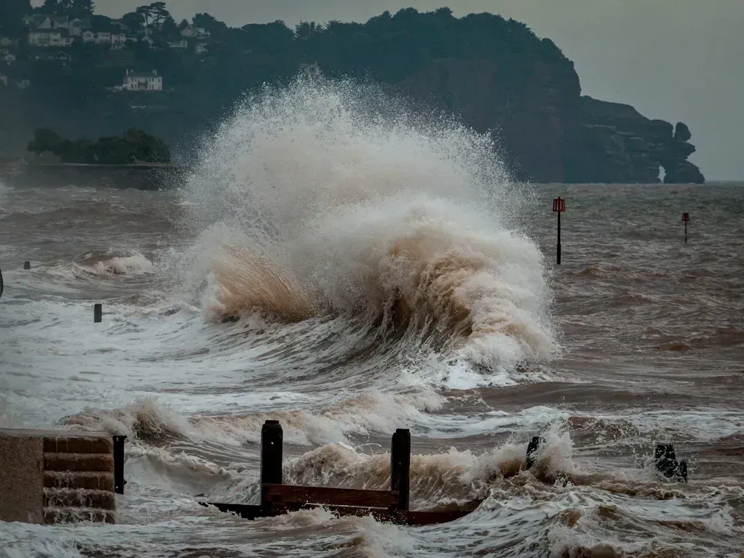
Storm surge did most of the killing. Because the hurricane was moving so fast, water was pushed against the coast almost without warning. Along parts of Long Island, Connecticut, and Rhode Island, the sea rose many feet above normal and rushed inland at the same time as the high tide.
In Providence, Rhode Island, water climbed to roughly thirteen feet above normal in the downtown area. Streets and the business district were flooded. At Napatree Point in Westerly, Rhode Island, the storm wiped out a small summer community and left the point largely bare.
The Human Toll

Estimates of deaths in the storm are usually given as about six hundred people, and some tallies run higher, up to roughly seven hundred. Rhode Island suffered the most fatalities, while many others died in Connecticut, Massachusetts, and on Long Island. Homes and businesses were swept off their foundations, and thousands more were damaged.
In Westhampton Beach on Long Island, a line of oceanfront houses was destroyed in the surge. Entire families were lost in some communities. Numbers vary among sources because records from 1938 were incomplete, so most accounts describe totals as approximate.
A Forest Laid Flat

The wind was just as brutal inland. New England was heavily wooded, and the soil had been soaked by days of rain before the storm arrived. Trees fell in enormous numbers, blocking roads, railways, and power lines.
Foresters later estimated that the storm knocked down billions of board feet of timber across the region. Harvard Forest in Massachusetts has documented the damage, and the fallen trees became a lasting research record. Salvage crews worked for years to process the wood, and the landscape took decades to recover.
New Inlets and a Changed Coastline

The sea permanently altered the shoreline. On Long Island’s south shore, the surge cut a new channel through the barrier beach at Shinnecock, creating what is now Shinnecock Inlet. The channel was later stabilized and became an important boating passage.
Beaches, dunes, and barrier islands elsewhere along the coast were reshaped, and some communities were rebuilt in different locations. The storm showed how quickly a barrier beach can change. Much of what looks fixed along that stretch of coast has in fact moved before.
Lessons for Forecasting and Warnings
The failure to warn the public was a major turning point for the U.S. Weather Bureau, the forerunner of the National Weather Service. In the years after 1938, the agency expanded its observation networks and improved hurricane forecasting. Later advances such as aircraft reconnaissance, radar, and satellites built on that push.
Naming of Atlantic hurricanes began in the early 1950s, and the storm of 1938 is remembered by nickname and year instead. Modern forecasts now reach residents days ahead of landfall. Storm surge warnings, a more recent addition, address the very hazard that caused so much of the loss in 1938.
Rebuilding and Hurricane Protection
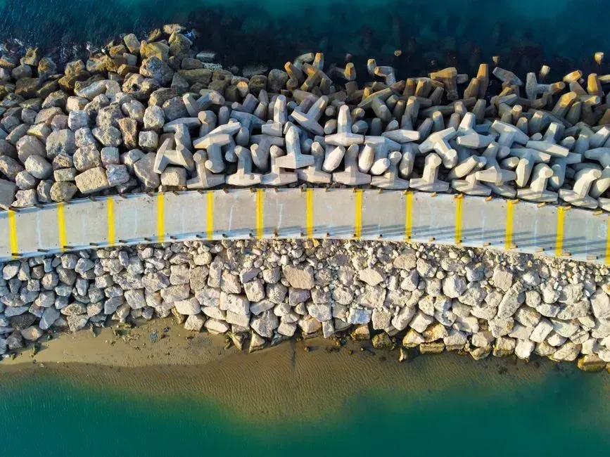
Recovery was slow but steady, aided by federal relief programs and the American Red Cross. Relief crews cleared roads, and towns rebuilt harbors, seawalls, and homes. Many communities also relocated or rebuilt farther from the water.
Providence later gained a major flood defense, the Fox Point Hurricane Barrier, completed in the 1960s to shield the downtown from surge in Narragansett Bay. The structure is a direct legacy of the flooding in 1938. Coastal planners still study the storm when they map flood risk and evacuation zones in southern New England.
What the Record Shows
The Long Island Express struck on September 21, 1938, as a Category 3 hurricane and moved at a remarkable speed. It killed about six hundred people, flooded Providence with a surge of roughly thirteen feet, and flattened huge areas of forest. It also opened Shinnecock Inlet on Long Island.
The Weather Bureau reformed its methods in response, and Providence built a hurricane barrier. Today the storm is a standard reference point for coastal risk in the Northeast.

- I Asked AI and a Waste Auditor How to Cut My Household Trash – Where They Disagreed - November 12, 2026
- Einstein’s equations suggest gravity can reconnect like the sun’s magnetic field - November 12, 2026
- This Map Shows Which States Get the Most Severe Storms Each Year – And It’s Not What You’d Expect - November 12, 2026
