


- 10 Traditional Building Techniques From Hot Climates Architects Are Revisiting - November 10, 2026
- 2026 Atlantic hurricane season winding down? El Niño eases late-season storm threat - November 10, 2026
- Could the Great Pacific Garbage Patch be altering the ocean’s color? - November 10, 2026
Three kinds of wet weather can fall from the same gray sky, and they can turn a commute into three very different experiences. One leaves puddles. Another leaves a gritty layer that crunches under tires. The third can leave a road looking merely damp when it’s actually glazed.
The difference comes down to temperature, and mostly to temperature at several altitudes at once. Knowing how each type forms makes it easier to understand why forecasters, road crews and insurers treat them so differently.
Plain Rain Starts as Ice, Too
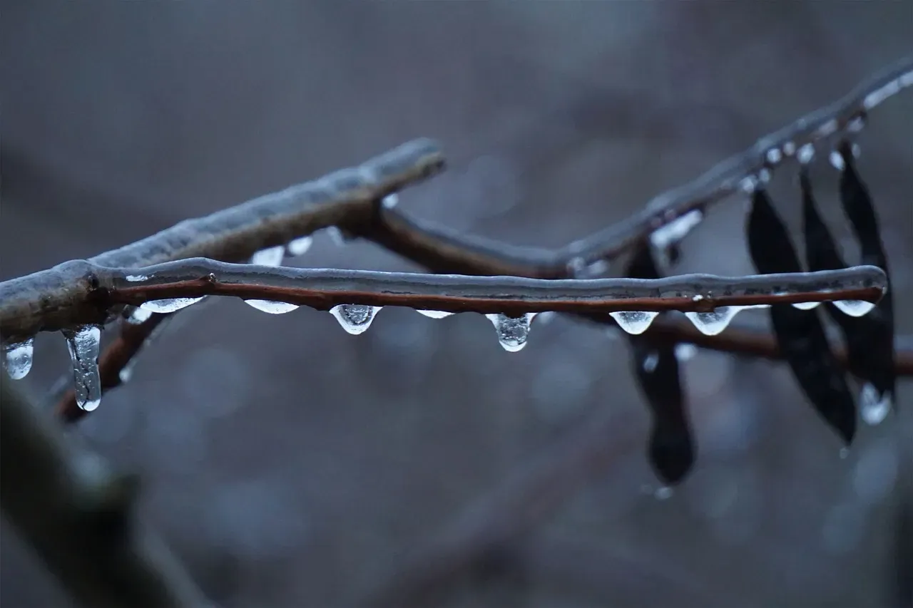
Most rain begins high in a cloud as ice crystals or snow. If the air below stays above freezing all the way down, those crystals melt into liquid drops before they reach the ground. That’s rain in its simplest form, and it’s the most common kind of precipitation in mild weather.
Rain is still a road hazard, just a different one. Water on pavement cuts tire grip, and heavy downpours can cause hydroplaning, where tires ride on a film of water. The risk climbs with speed and with worn tread, which is why slowing down in a downpour matters more than most drivers assume.
How Sleet Forms in a Layered Atmosphere
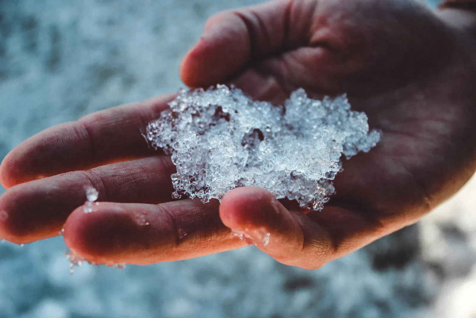
Sleet needs a specific sandwich of air layers. Snow falls from a cold cloud, passes through a warm layer aloft where it melts into raindrops, then drops into a deep layer of subfreezing air near the ground. There the drops refreeze into small ice pellets before landing.
The National Weather Service calls these pellets ice pellets, and sleet is the everyday word for them in the United States. In Britain, sleet usually means a mix of rain and snow, so the same word can describe different things depending on where you are. The pellets typically bounce on impact and make a distinct tapping sound on windows and car roofs.
How Freezing Rain Forms
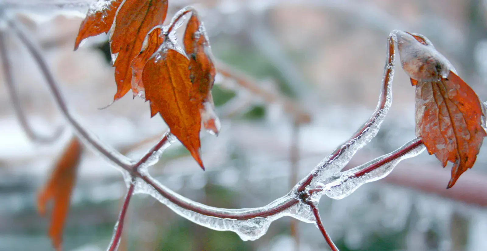
Freezing rain starts the same way, with snow melting in a warm layer aloft. The difference is what happens below. The cold layer at the surface is too shallow for the drops to refreeze in the air, so they arrive as liquid but cooled below the freezing point.
These supercooled drops freeze the moment they hit a surface at or below freezing. That could be a road, a tree branch, a windshield or a power line. The result is a smooth coating of ice often called glaze, and it can build up even when the air temperature sits only a degree or two under freezing.
Why the Warm and Cold Layers Decide Everything

The three types are separated mainly by how thick the warm layer aloft is and how deep the cold layer at the ground is. A thick cold layer near the surface gives raindrops time to freeze into sleet. A thin one lets them stay liquid until they strike something cold.
This is why a single winter storm can switch between types over a short distance. Warm air often rides over colder air near a front, so a town on one side of a line may get rain while a town fifty miles away gets sleet or freezing rain. Forecasters study atmospheric soundings from weather balloons to see these layers directly.
What Each Type Does to Road Traction
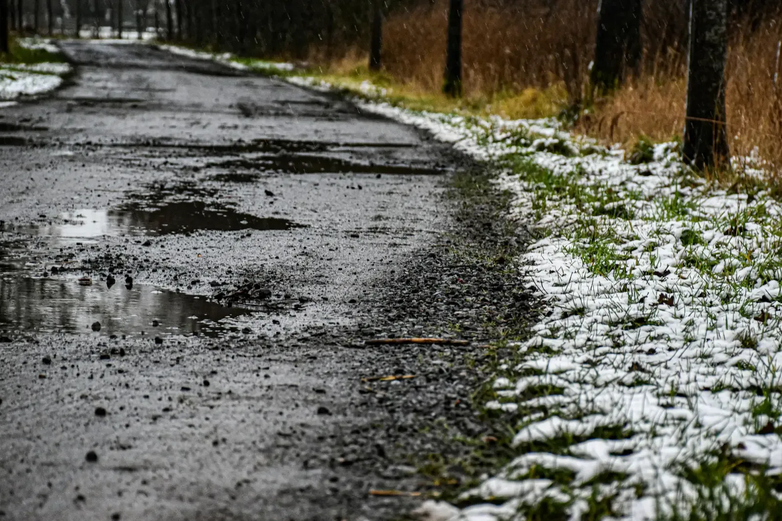
Freezing rain is generally the most dangerous for drivers because it creates a thin, slick sheet that’s hard to see. Friction between tires and ice is very low, so braking distances can stretch many times beyond those on dry pavement. Steering and acceleration suffer too.
Sleet behaves differently. Pellets pile up like coarse sand, which can give a bit more grip than solid glaze at first. Still, a layer of sleet can pack down under traffic into a slick surface, and it can hide patches of ice underneath.
Black Ice and Surfaces That Freeze First
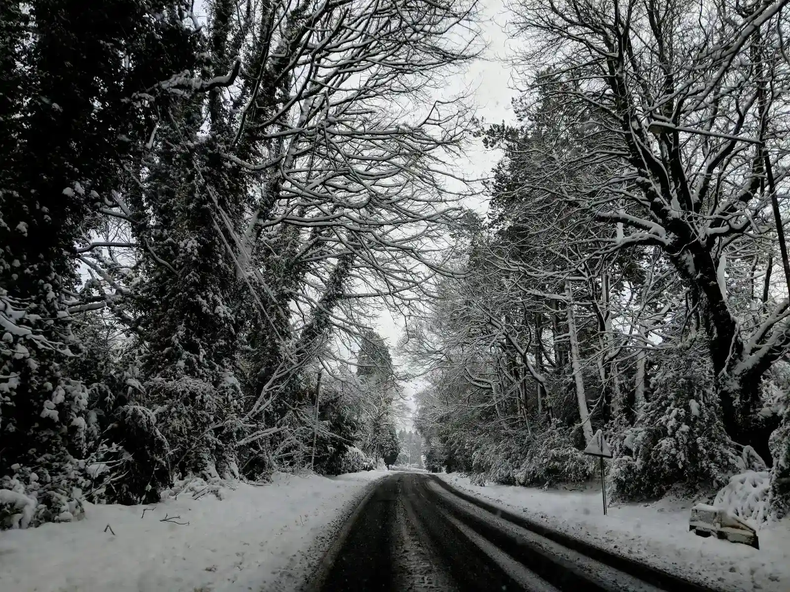
Black ice isn’t really black. It’s a thin, clear coating that lets the dark pavement show through, so the road just looks wet. Freezing rain and refrozen meltwater are common sources.
Bridges and overpasses tend to freeze before ordinary road sections. Cold air flows above and below them, while a road laid on the ground gets some warmth from the earth beneath. Shaded stretches, tunnel exits and low spots can also stay icy long after the sun is up.
Why Air Temperature Can Mislead Drivers
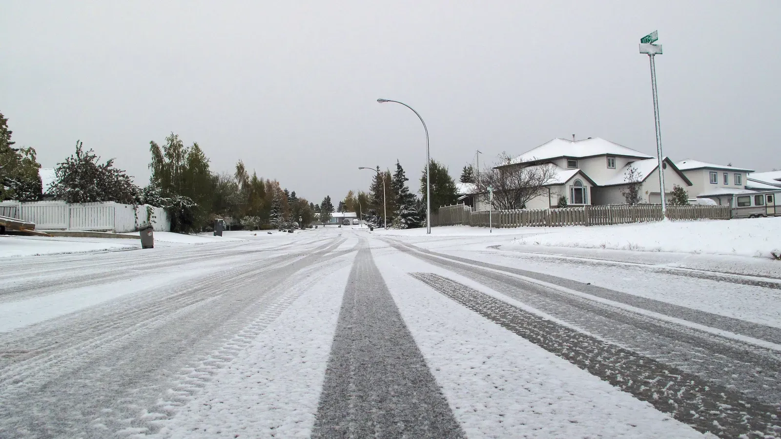
A dashboard thermometer reads the air, not the pavement. Road surface temperature can lag behind air temperature, so a road may stay above freezing for a while after the air dips below it. The reverse can also happen after a clear, cold night, when pavement is colder than the air above it.
That’s one reason transportation agencies use road weather sensors and pavement temperature readings. Drivers don’t have those, so the safer habit is to treat any precipitation near or below freezing as a warning sign. Rain at thirty three degrees Fahrenheit can still be trouble if the ground is colder.
How Road Crews Respond
Crews often apply salt brine before a storm, since it helps keep ice from bonding to pavement. Salt works by lowering the freezing point of water, but it loses effectiveness as temperatures fall well below the upper teens in Fahrenheit. Crews may switch to other materials or add abrasives like sand when it gets that cold.
Freezing rain is a tough case for treatment. Steady rain can wash brine away, and ice that forms on top of already wet pavement dilutes the salt further. Sleet can be plowed or swept more like snow, though heavy pellet accumulation still needs repeated passes.
Beyond the Road: Power Lines, Trees and Travel Delays
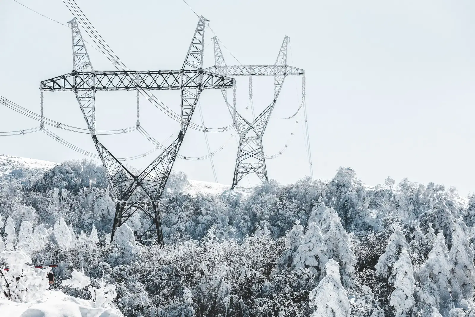
Freezing rain is notorious for damage beyond pavement. Ice adds weight to tree limbs and utility lines, and even a modest coating of around a quarter inch can bring down branches and cause outages. Wind on top of that load makes the damage worse.
Weather overall is a significant factor in crashes. Federal Highway Administration figures have long attributed roughly one in five crashes to weather, with wet pavement accounting for the largest share and snow, sleet and ice making up the rest. Precipitation also slows traffic and disrupts flights, so delays can ripple well beyond the storm itself.
Staying Safe When Precipitation Is Near Freezing
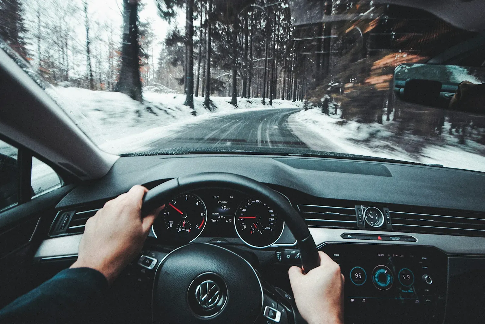
Check the forecast for the type of precipitation, not just the chance of it. If freezing rain is expected, delaying a trip is the most reliable choice, since no tire or driving technique fully offsets a glazed road. If you have to go, slow down, leave extra following distance and avoid sudden braking or steering.
Keep winter basics in the vehicle, such as a charged phone, blankets, water and a scraper. Clear ice from all windows and lights before you leave. If the car starts to slide, ease off the pedals and steer gently in the direction you want to go.
