


- The Planet Where It Rains Liquid Glass – 7 Alien Worlds Defying Known Physics - November 14, 2026
- Stars Consuming Entire Worlds – 6 Planetary Systems Swallowing Their Own Worlds - November 14, 2026
- The Ground Liquefies Like Water – 6 Silent Fault Lines Geologists Watch Closely - November 14, 2026
Flooding costs the United States more money every year than any other form of severe weather. According to FEMA, citing NOAA data, flooding causes more damage in the United States than any other severe weather-related event, averaging between five and eight billion dollars a year. That figure balloons dramatically when broader economic disruption is factored in. The damage is real, recurring, and in many cases, entirely preventable with the right knowledge.
What surprises most people isn’t the coastal risk. Everyone knows that living near the Gulf of Mexico or the Atlantic carries some exposure. What catches communities off guard is how far inland the danger reaches. Since 1996, FEMA reports it has received flooding claims from 99% of U.S. counties, with more than 40% coming from outside what are considered high-risk areas. The two states below carry the heaviest overall burden. The four inland areas that follow them deserve far more attention than they typically get.
Louisiana: The Nation’s Most Flood-Exposed State
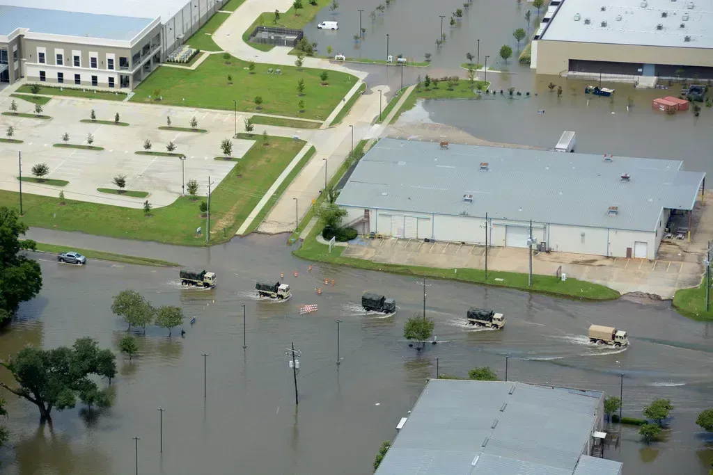
Across the three main categories analyzed – annual frequency, expected annual losses, and population exposure – Louisiana stands as the most at risk of coastal flooding in the United States. The state has the highest percentage of residents exposed to coastal flooding at roughly 38%, the third-highest expected annual losses per 10,000 residents, and the fourth-highest annualized frequency of coastal flood events.
Louisiana accounts for a staggering 80% of the country’s coastal wetland loss, according to New Orleans’ Hazard Mitigation Plan. While all coastal areas face challenges with rising sea levels, Louisiana’s sinking Mississippi River Delta compounds the problem, exposing more residents to flood risk. The state loses approximately 16.57 square miles of land each year, the equivalent of a football field roughly every 100 minutes. That kind of land loss isn’t gradual in a human-scale sense – it’s visible within a generation.
Why Louisiana’s Risk Is Structural, Not Just Seasonal
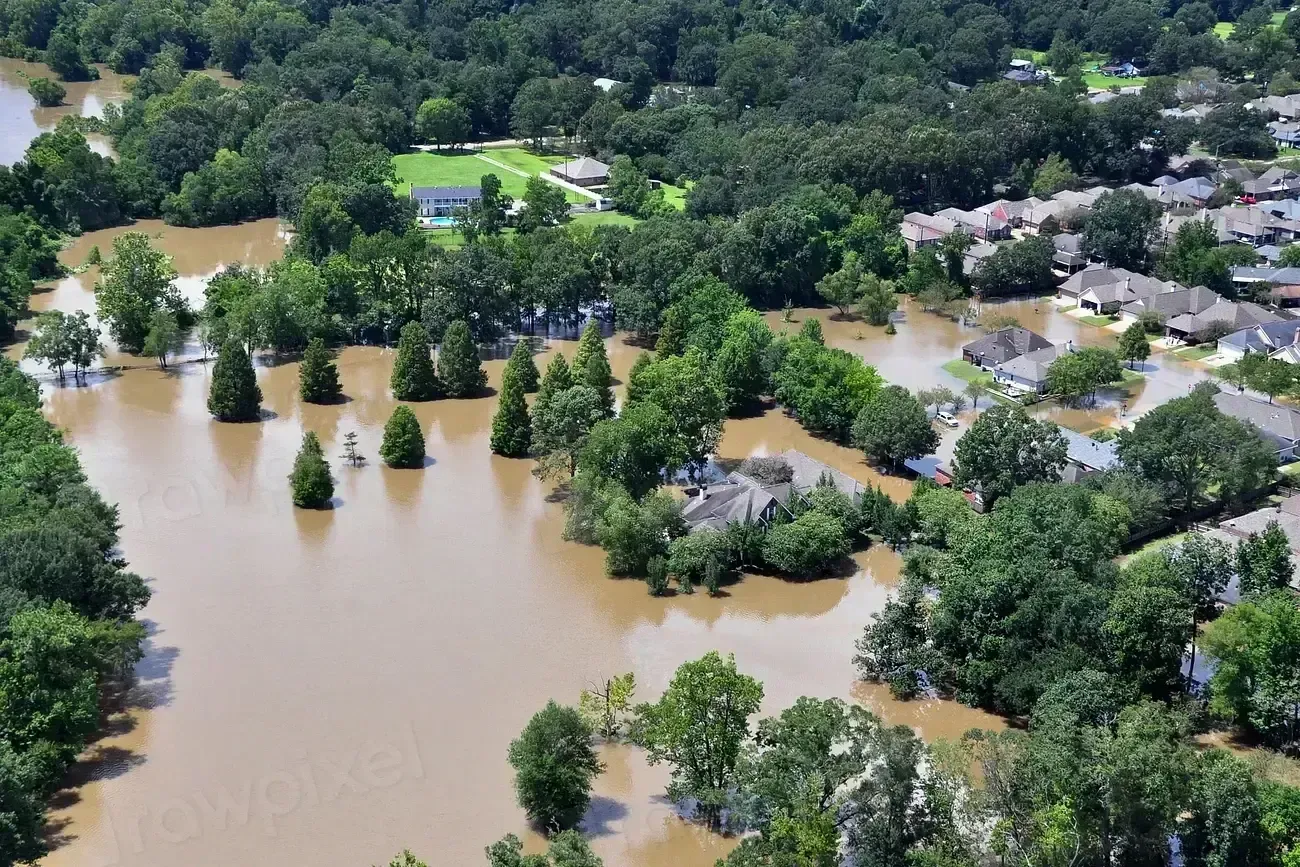
The 2016 Louisiana flood produced 20 to 30 inches of rain and damaged or destroyed tens of thousands of homes across Baton Rouge and surrounding communities. Storm surge, river flooding, and tropical rainfall continue to threaten populations in New Orleans, Baton Rouge, and Lake Charles during both hurricane season and major rain events.
The combination of subsiding land and increasingly powerful hurricanes creates a near-perfect storm scenario. New Orleans, sitting below sea level, remains particularly vulnerable despite billions invested in levee improvements since Hurricane Katrina. Louisiana has roughly 1.5 million residents living in high-risk areas, and the risk isn’t simply about proximity to water – it’s about the ground itself being in retreat.
Texas: The Most Costly Flood State in the Nation
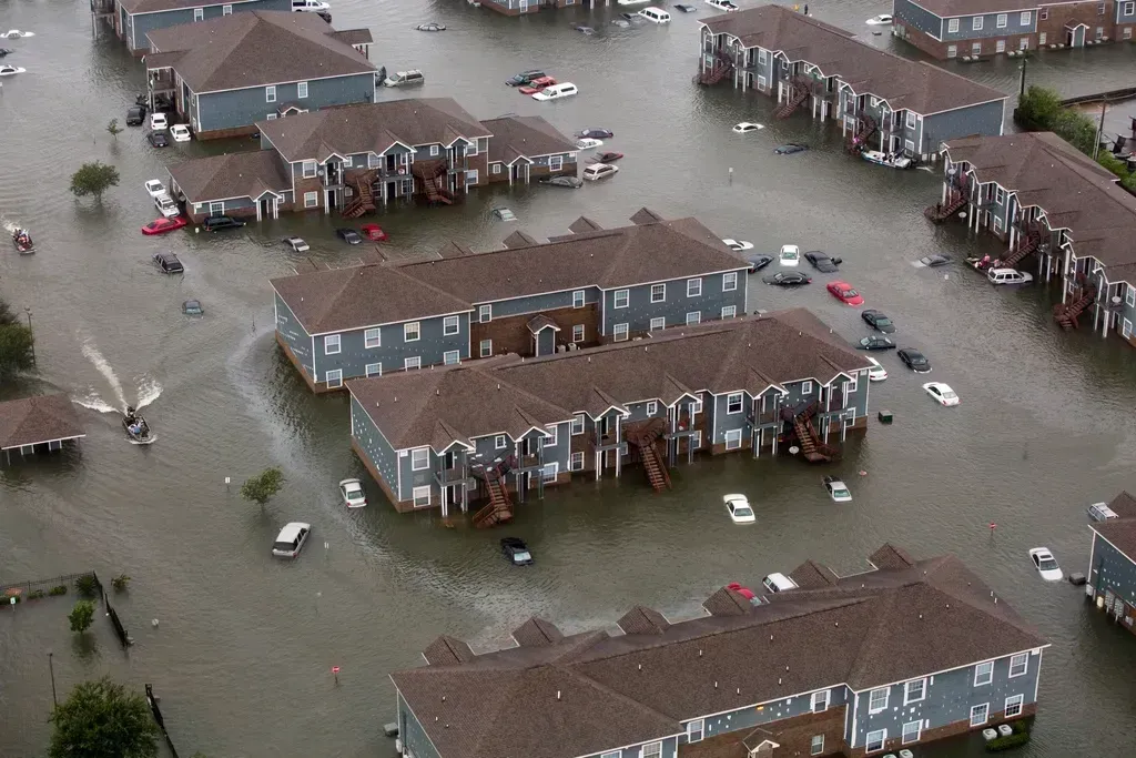
An analysis of FEMA data shows that Texas annually sees the most losses due to flooding, with New Jersey and Louisiana ranking second and third respectively. Texas is one of the states most at risk for flooding due to its enormous geographic variety and extreme weather. Approximately 1.8 million residents live in areas with substantial flood exposure.
Texas has a 367-mile Gulf Coast and more than 3,300 miles of shoreline around bays and estuaries, leaving wide stretches exposed to tropical cyclones and storm surge. NOAA reports 190 billion-dollar disasters in the state from 1980 to 2024, including 9 major flooding events and 16 tropical cyclones. The recent five-year average climbed to 13.6 events per year, more than triple the long-term rate of 4.2.
Texas: When Urban Growth Makes Flooding Deadlier
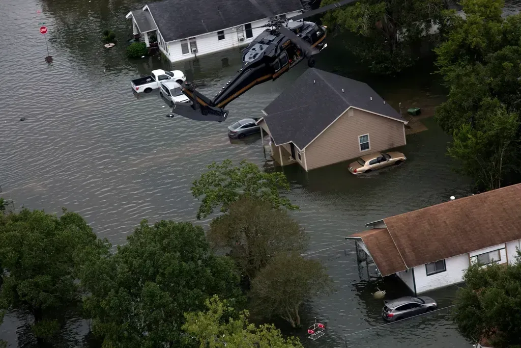
Tropical Storm Imelda dropped 24 to 36 inches of rain between Houston and Beaumont in September 2019. Houston experiences some of the state’s most severe flood impacts, but fast-growing metros such as Dallas, Austin, and San Antonio also face recurring problems as development increases runoff and pressure on aging infrastructure.
The 2025 Central Texas flash floods, which devastated areas outside FEMA-designated flood zones, demonstrated how unpredictable and widespread the state’s flood risk has become. Houston is sinking faster than any other major U.S. city due to extensive groundwater and oil extraction, which further exacerbates flood risks. Concrete-heavy development compresses that problem into shorter and shorter time windows when rain hits.
Inland Surprise #1: Western North Carolina and the Southern Appalachians
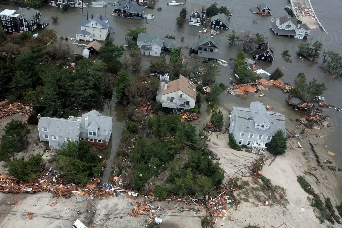
Western North Carolina, and Appalachia as a whole, has historically been victim to significant flooding caused by weakened hurricanes or their remnants, despite being far inland of coastal regions that typically bear the strongest and most publicized impacts. This is due to intense rainfall that can cause significant swelling of rivers and bodies of water, as well as torrents of water flowing down mountainous areas, which cause destruction and damaging mudslides.
Hurricane Helene roared ashore Florida’s coast in late September 2024 as a Category 4 hurricane, but arguably the worst-hit area was hundreds of miles north, across the southern Appalachian Mountains. A deluge of rainfall over a four-day period turned trickling creeks into roaring rivers, which overflowed their banks and washed out entire mountain towns, neighborhoods, and roads. Early data from the U.S. Geological Survey reported that 34 new flood records were set by the storm, including 18 in North Carolina alone.
How Deep the Appalachian Disaster Actually Ran
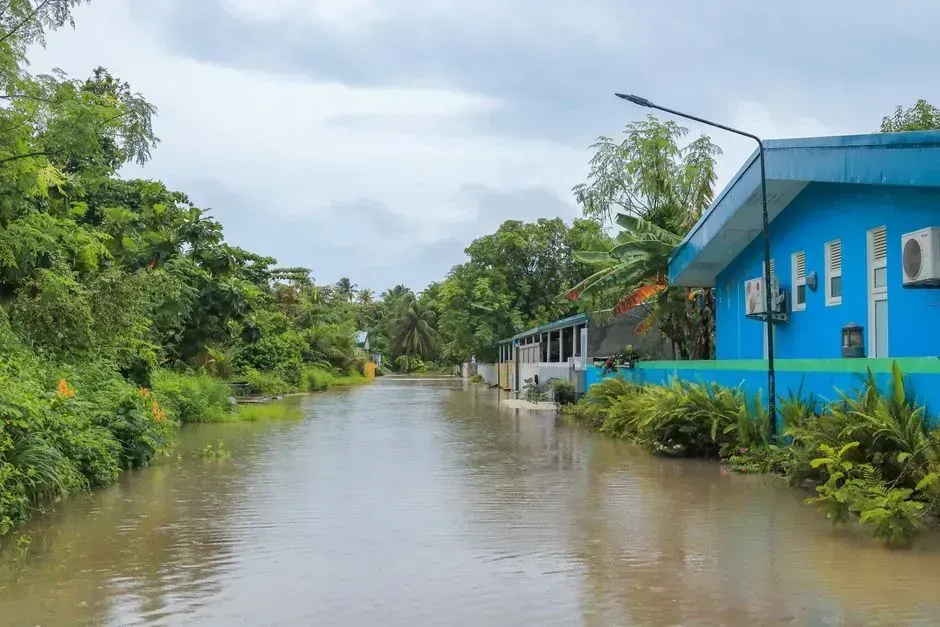
Over four days, Helene delivered more than 30 inches of rain in some areas – on top of already saturated soils from earlier storms – resulting in intense flooding and landslide activity throughout much of southern Appalachia, including North Carolina, South Carolina, Tennessee, Kentucky, Virginia, and West Virginia. Western North Carolina was hit hardest. In Buncombe County alone, 43 people lost their lives as floodwaters and mudflows swept down river valleys into nearby communities.
FEMA reported that only 0.8% of households in disaster-declared counties in North Carolina held FEMA flood insurance policies. That single statistic captures the problem with inland flood risk more plainly than almost any other. From 2013 to 2023, there were nearly 20 federally declared flooding disasters across Kentucky, Pennsylvania, Virginia, West Virginia, Tennessee, and Ohio – a sustained pattern that has been building for years, not a one-off event.
Inland Surprise #2: Missouri and the Mississippi River Basin
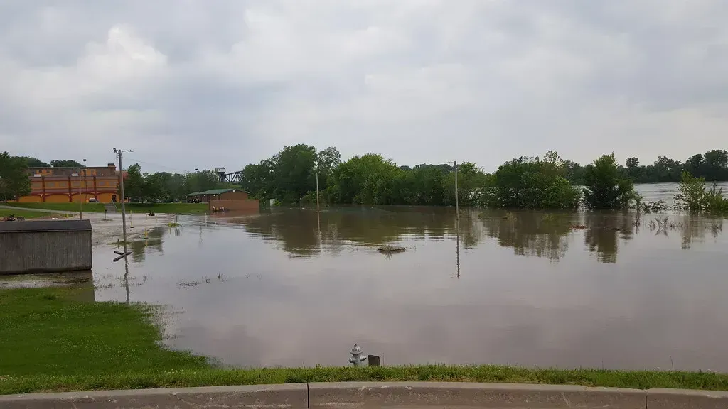
Missouri may not have a coastline, but it consistently ranks among the top states most at risk for flooding because of its enormous river systems and increasing rainfall extremes. Around 700,000 residents live in high-risk areas. Missouri experiences some of the nation’s most severe inland flood events, and 2024 to 2025 data confirmed that rainfall intensity was rising.
FEMA rates Missouri’s inland riverine flood risk as relatively moderate, with an expected annual loss of 1.57 billion dollars per year from rivers, creeks, and rainfall flooding based on FEMA’s December 2025 National Risk Index. Flooding is the deadliest severe weather hazard in Missouri, with the vast majority of fatalities occurring during flash flooding and affecting people in vehicles. Since 1990, Missouri has received 50 federal major disaster declarations.
Inland Surprise #3: Colorado’s Front Range Corridor
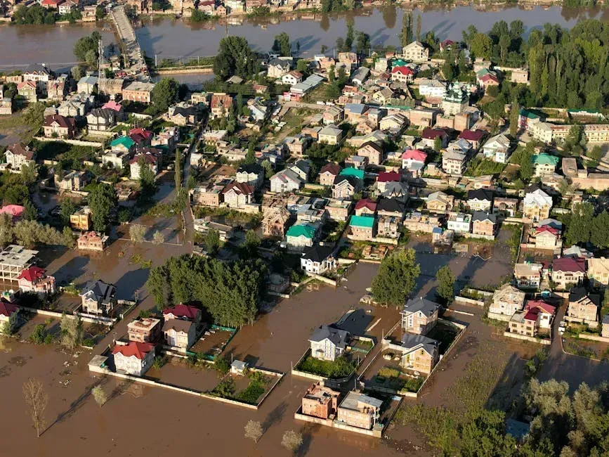
While Colorado is a long distance from any large bodies of water, many of its residents live in flood-prone areas, especially along the Front Range urban corridor. Seasonal snowmelt, intense thunderstorms, and rapid rainfall contribute to flash floods, particularly in mountain canyons and along rivers.
Colorado experiences an average annual loss of roughly 98 million dollars due to flooding, with Larimer, Boulder, and Weld Counties being the most economically affected. Larimer County alone has an expected average annual loss of 25 million dollars, which accounts for more than a quarter of the statewide total. Currently, 6.7% of Colorado’s road network is at risk of flooding, compared with the national average risk of 5.4%. For a state that many people associate more with drought and wildfire, that exposure is easy to underestimate.
Inland Surprise #4: Chicago, Buffalo, and Chattanooga
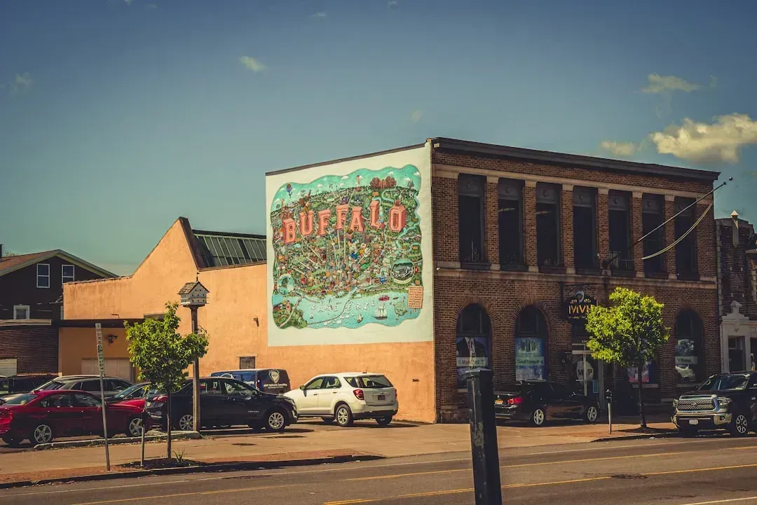
New analyses that factor in sea level rise, rainfall intensity, and previously overlooked inland waterways show that more than 14 million properties – far more than previous estimates – are now at risk from a so-called 100-year flood. This hidden vulnerability is especially pronounced in cities such as Chicago, Buffalo, and Chattanooga, where tens of thousands of properties face previously unrecognized flooding threats.
FEMA has faced considerable criticism from experts who claim that many of the federal agency’s maps are out of date and don’t accurately reflect current levels of risk, particularly in inland areas that have experienced significant flooding in recent years. A 2022 research paper warns that FEMA relies too heavily on historical data and doesn’t take into account the probability of substantially increased flooding from the effects of climate change. Cities like Chicago sit on ancient lake plains with aging combined sewer systems, and a single intense storm can overwhelm infrastructure that was never designed for what today’s rainfall events deliver.
The Insurance Gap That Puts Inland Residents at Greater Risk
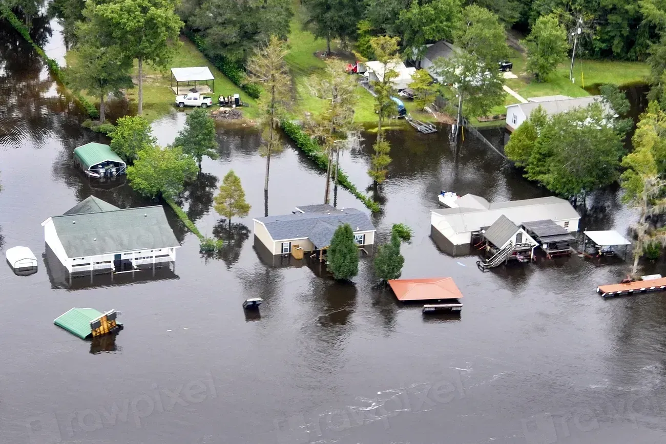
In high-risk areas, flood insurance is generally required by mortgage lenders, but when outside the zone, it is usually up to the homeowner whether or not to invest in a policy. That creates a serious blind spot. In some states, the vast majority of average annual losses occur outside of FEMA’s Special Flood Hazard Area – meaning hundreds of millions of dollars in financial losses occur in places where flood insurance isn’t mandatory and floodplain management regulations aren’t enforced.
Rising sea levels and more frequent extreme weather events mean flood risks are expected to grow in the coming years. FEMA reports that 40% of small businesses never reopen after a flood disaster. For inland communities that have never been required to carry flood coverage, a single event can be financially catastrophic in a way that coastal communities – with their mandatory policies – are at least partially insulated from. The gap between perceived risk and actual risk is, in many inland areas, wider than it has ever been.
