

Cirrus clouds
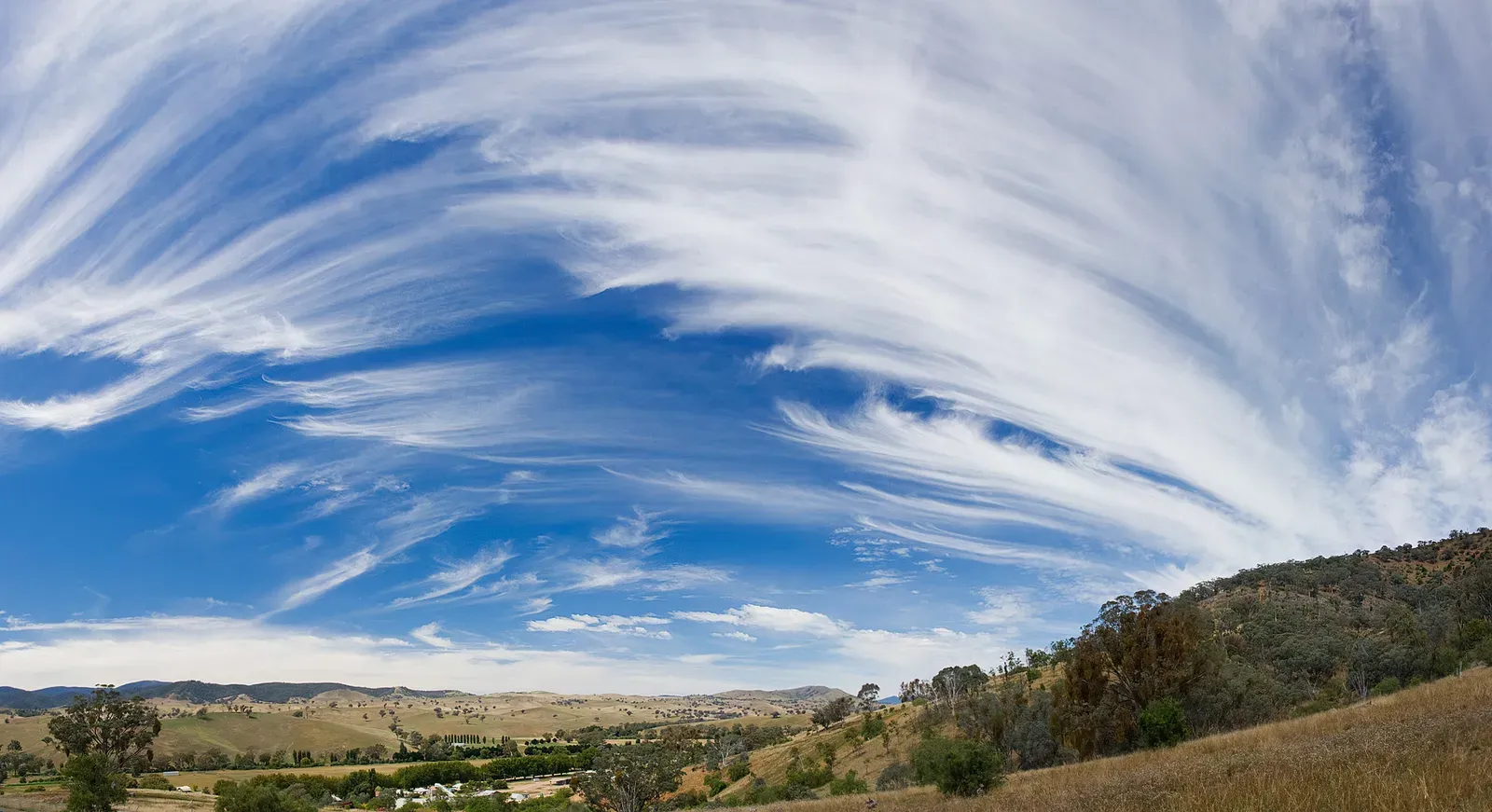
Cirrus clouds are the thin, wispy streaks that stretch high across the sky, often called “mare’s tails” because of their feathery shape. They form at altitudes above 20,000 feet, where temperatures are cold enough that they’re made almost entirely of ice crystals rather than water droplets. Because they sit so high, they don’t produce rain themselves, but they’re rarely just decorative.
When cirrus clouds start thickening or multiplying across the sky, it often signals that a warm front or storm system is still a day or two away. Sailors and pilots have long treated a sky full of cirrus as an early warning sign rather than a threat in itself. Think of them as the weather’s way of clearing its throat before something bigger arrives.
Cumulus clouds
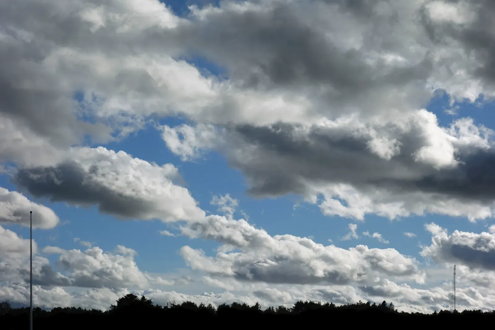
Cumulus clouds are the puffy, cotton ball shapes most people picture when they think of a clear summer day. They typically form through daytime heating, as warm air rises, cools, and condenses into these distinct, flat bottomed and rounded top formations. Small, scattered cumulus clouds on a sunny afternoon are usually a sign of stable, pleasant weather.
The story changes once cumulus clouds start growing taller and denser rather than staying small and separate. That vertical growth means the atmosphere has enough instability and moisture to keep pushing air upward, which is exactly the setup that can lead to thunderstorms later in the day. Watching cumulus clouds swell from breakfast to lunch is one of the simplest ways to anticipate an afternoon storm.
Cumulonimbus clouds
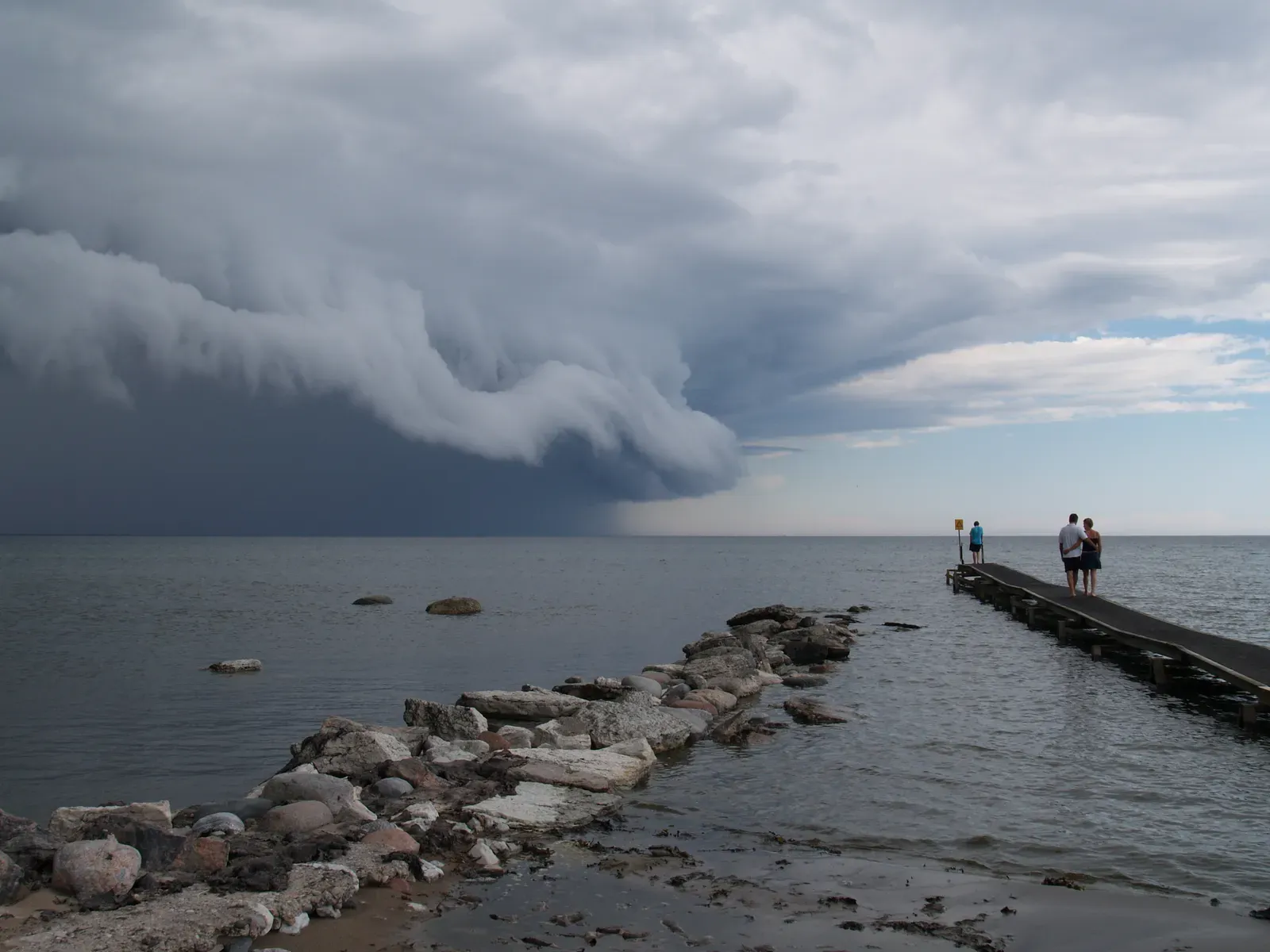
Cumulonimbus clouds are the towering giants of the sky, capable of reaching heights of over 39,000 feet and often flattening out at the top into a recognizable anvil shape. They form when cumulus clouds keep building because of strong updrafts, unstable air, and abundant moisture. These are the clouds directly responsible for thunderstorms, heavy rain, hail, and in some cases tornadoes.
Seeing a cumulonimbus cloud on the horizon is one of the clearest visual warnings the sky offers, since it almost always means active or imminent severe weather. The darkening base and sudden drop in temperature that often precede a storm are direct results of this cloud type moving overhead. Meteorologists treat cumulonimbus development as a key signal for issuing short term severe weather alerts.
Stratus clouds
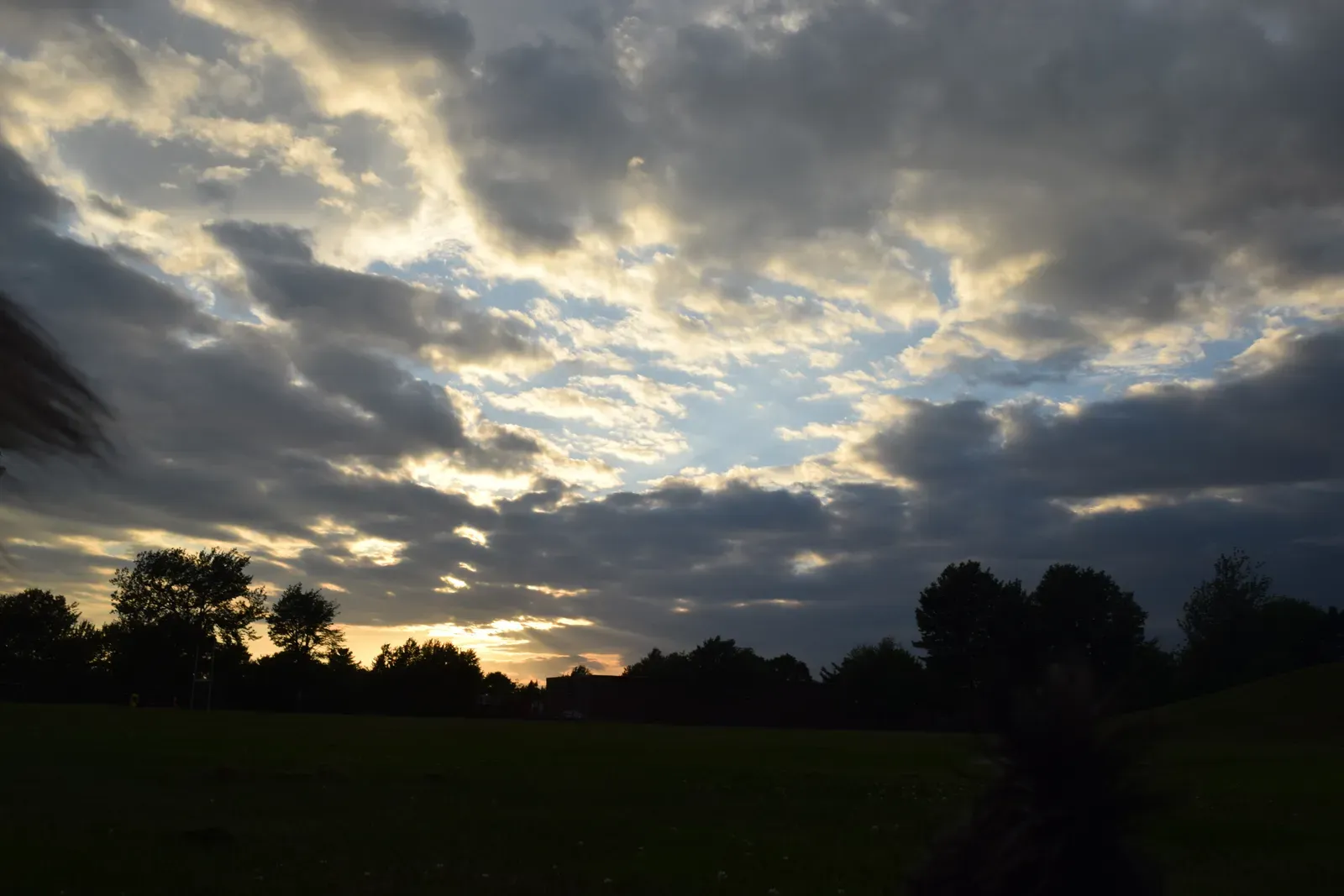
Stratus clouds form flat, featureless gray layers that often blanket the entire sky, sitting relatively low compared to other cloud types. They develop when a broad layer of moist air rises gently and cools evenly, without the turbulence needed to create distinct shapes. Days under stratus clouds tend to feel dull and overcast rather than dramatic.
While stratus clouds rarely bring heavy rain, they’re strongly associated with light drizzle, mist, or fog, especially when they sit close to the ground. A thick stratus layer settling in usually points to a prolonged stretch of gray, damp weather rather than a quick passing shower. It’s the cloud type most responsible for those days that never quite decide to rain but never quite clear up either.
Stratocumulus clouds

Stratocumulus clouds combine the layered structure of stratus with the lumpy texture of cumulus, forming patches or rows of grayish clumps across a mostly overcast sky. They sit at low to middle altitudes and form when a stable air layer still has enough moisture and mild turbulence to break into distinct cloud masses. Unlike pure stratus, stratocumulus often leaves visible gaps of blue sky between the cloud clusters.
These clouds typically indicate a transitional weather pattern, forming either as a storm system is weakening or as conditions are shifting from clear to more unsettled. They rarely produce significant rainfall on their own, but their presence suggests the atmosphere is unstable enough that conditions could still change within the day. Many coastal regions see stratocumulus decks form regularly due to the interaction between cool ocean air and slightly warmer air above it.
Nimbostratus clouds

Nimbostratus clouds are thick, dark, low to middle altitude layers specifically associated with steady, extended precipitation rather than brief showers. Unlike cumulonimbus, they lack the towering vertical structure, instead spreading horizontally across a wide area to produce consistent rain or snow over several hours. Their dense, uniform gray appearance often blocks out the sun almost completely.
When nimbostratus clouds move in, they usually signal that a period of sustained rainfall or snowfall is underway, often linked to a warm front pushing through a region. This is the cloud type most responsible for the kind of all day rain that soaks the ground rather than the sudden downpour that clears quickly. Forecasters often use nimbostratus formation as confirmation that a frontal system has fully arrived rather than just approaching.

- Flood and Cyclone Warnings: What Makes an Early Warning System Effective - October 14, 2026
- Saharan Dust Over Europe: What It Means for Air Quality and Sunsets - October 14, 2026
- Climate Normals: The 30-Year Averages Behind Every “Above Average” Forecast - October 14, 2026
