

- The Planet Where It Rains Liquid Glass – 7 Alien Worlds Defying Known Physics - November 14, 2026
- Stars Consuming Entire Worlds – 6 Planetary Systems Swallowing Their Own Worlds - November 14, 2026
- The Ground Liquefies Like Water – 6 Silent Fault Lines Geologists Watch Closely - November 14, 2026
Most people assume that clean rivers are a given in a country as large and as ecologically diverse as the United States. The reality is more complicated. According to the EPA, only about 28 percent of America’s streams and rivers are clean enough to support healthy ecosystems. Close to half of the country’s rivers are in poor condition due to polluted water. That’s a sobering backdrop for any list celebrating the cleanest waterways left standing.
Still, not every river tells a story of decline. A handful of American rivers have managed to stay remarkably clean – through federal protection, geographic luck, conservation effort, or all three at once. Some are famous. Others are almost unknown beyond the communities who live beside them. The one at the top of this list might genuinely surprise you.
7. The Chattooga River – Georgia, South Carolina, and North Carolina
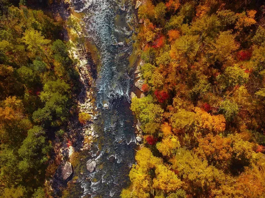
Few rivers in the American South carry as much wildness per mile as the Chattooga. As a designated Wild River under the National Wild and Scenic Rivers Act, the Chattooga is free of dams or diversions, inaccessible except by trail, and its waters are considered unpolluted – placing it in the same top-tier category as Idaho’s Middle Fork Salmon and California’s North Fork American. That combination of remoteness and legal protection has kept it in exceptional shape.
The river cuts through the Southern Appalachians, forming the border between Georgia and South Carolina before draining into Lake Tugalo. Its watershed remains largely forested, which limits runoff and keeps sediment levels low. Whitewater rafters and trout fishermen know this river well, though you won’t find roads running along most of its course – and that inaccessibility is precisely what protects it.
6. The Middle Fork Salmon River – Idaho
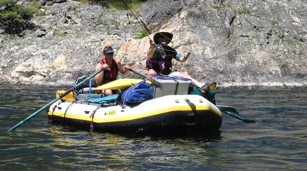
The Salmon River in Idaho was one of the original eight rivers protected when Congress passed the Wild and Scenic Rivers Act of 1968. The Middle Fork, in particular, runs for roughly 100 miles through the Frank Church River of No Return Wilderness – the largest contiguous wilderness area in the lower 48 states. Its relative cleanliness owes almost everything to the surrounding land management.
Each Wild and Scenic River is managed to protect and enhance its river values, including free-flow, water quality, and outstandingly remarkable values. In the Middle Fork Salmon’s case, those values include crystal-clear rapids, an intact salmon run, and virtually no upstream industrial or agricultural development. Rafting expeditions down its corridor remain one of the more immersive wilderness experiences left in the continental United States.
5. The St. Croix River – Minnesota and Wisconsin
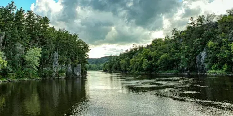
With a watershed that covers about 7,600 square miles, the Saint Croix is one of the original eight U.S. rivers designated as part of the Wild and Scenic Rivers Act. It runs roughly 164 miles along the border between Minnesota and Wisconsin, and its water quality has long been considered among the best in the Midwest. The St. Croix River is a tributary of the Mississippi River, approximately 164 miles long, with the lower 125 miles forming the border between Wisconsin and Minnesota.
While parts of the river are still considered impaired because of agricultural runoff, the Saint Croix’s world-class mussel population is helping – these bivalves act as living water purifiers. That’s a reminder that clean water isn’t always about the absence of human activity; sometimes it’s about the presence of a functioning ecosystem that can absorb and recover. Visitors use the St. Croix for fishing, swimming, paddling, and other activities, making the preservation of water quality important to both park managers and the public.
4. The Niobrara River – Nebraska
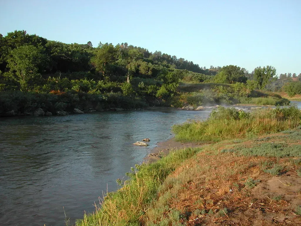
Nebraska doesn’t usually show up in conversations about pristine waterways, which is part of what makes the Niobrara worth mentioning. Classified as a Scenic River under the Wild and Scenic designation, the Niobrara is free of dams or diversions and its watershed remains largely natural – placing it alongside Michigan’s Pere Marquette River as one of the defining examples of this category. It cuts through the Nebraska Sandhills, a rare and fragile grassland ecosystem that filters water naturally before it ever reaches the channel.
The river is fed largely by groundwater from the Ogallala Aquifer, which keeps its flow unusually stable and cold even through dry summers. That consistent temperature supports a surprisingly rich assemblage of fish species and has made the Niobrara a favorite among canoeists who weren’t expecting to find such clarity this far into the Great Plains. Its cleanliness is partly geological – and partly the result of sustained land protection in its corridor.
3. The Elk River – Colorado
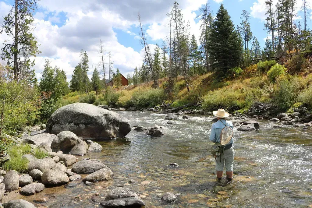
In late August 2024, the Colorado Water Quality Control Commission officially designated 385 miles across 15 rivers and streams in the Upper and Lower Colorado, Eagle, Yampa, and Roaring Fork River basins as Outstanding Waters. The Elk River, flowing through Routt County in the northwest corner of Colorado, was among them. The Elk River is an iconic river known regionally and throughout the state, and Outstanding Waters designations preserve the high-quality waters of rivers, lakes, and wetlands, providing clean drinking water, habitat for wildlife, and support for recreational activities including fishing, swimming, and paddling.
The Elk River is habitat for critical populations of Colorado River cutthroat trout and greater sandhill cranes. The Outstanding Waters designation, authorized by the Colorado Water Quality Control Act and the Clean Water Act, protects high-quality waterways that benefit nature, wildlife, and recreation from future harm, such as development, mining, oil and gas extraction, or excessive pollution. As a headwaters stream flowing out of the Mount Zirkel Wilderness, it carries naturally cold, low-mineral water that meets some of the strictest quality benchmarks in the state.
2. The Pere Marquette River – Michigan
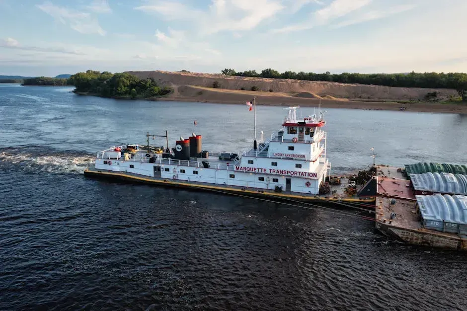
Michigan has hundreds of inland rivers, but the Pere Marquette stands apart from almost all of them. Designated as a Wild and Scenic River, it flows through a largely forested corridor in the western Lower Peninsula, drawing its water from cold groundwater springs rather than surface runoff. That groundwater origin keeps temperatures remarkably stable year-round and shields the river from most of the agricultural contamination that affects neighboring watersheds.
Public lands across the country are home to hundreds of thousands of miles of the healthiest, cleanest rivers and streams in the country, and the Pere Marquette exemplifies why. Its corridor runs through the Manistee National Forest, limiting shoreline development and preserving the riparian buffer that filters what little runoff does reach the channel. The river hosts a self-sustaining steelhead and brown trout population that draws anglers from across the Midwest, and its water clarity is often compared favorably to spring-fed streams far more remote than this one.
1. The Smith River – Northern California
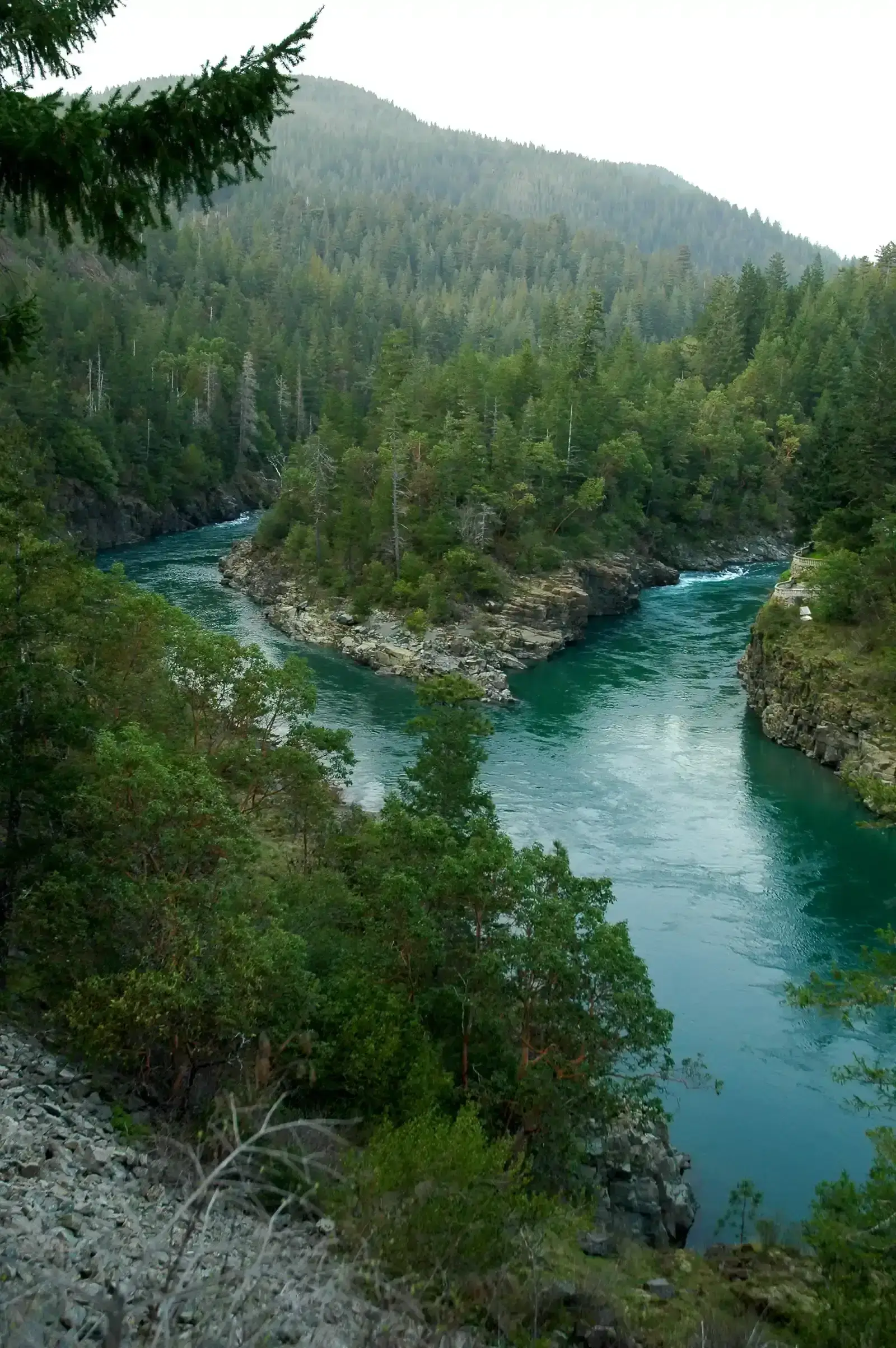
This is the one most people don’t see coming. California rarely earns praise for environmental cleanliness, and its rivers have faced enormous pressure from agriculture, drought, and development. The Smith River is different in nearly every measurable way. The Smith River’s origins are in the Klamath Mountains, making its way through Del Norte County in Northern California before meeting the Pacific. It is California’s only undammed river, and almost no human development has been allowed along its banks.
The water has remained almost crystal clear because of the surrounding geology and old-growth forest. Almost no sediment exists in this river. There are green and blue stones along the river bottom that shine in the right sunlight through the clear water, giving it a turquoise appearance. The Smith River is one of the last free-flowing rivers in California. Its watershed sits inside Jedediah Smith Redwoods State Park and Smith River National Recreation Area, where some of the oldest trees on Earth shade the banks and hold the soil together. The combination of no dams, no major upstream cities, no significant agriculture, old-growth forest cover, and hard granite bedrock that releases almost no dissolved minerals makes it a rare convergence of conditions. There’s no other major river in the lower 48 that checks all those boxes at once.
Why So Few Rivers Make This List
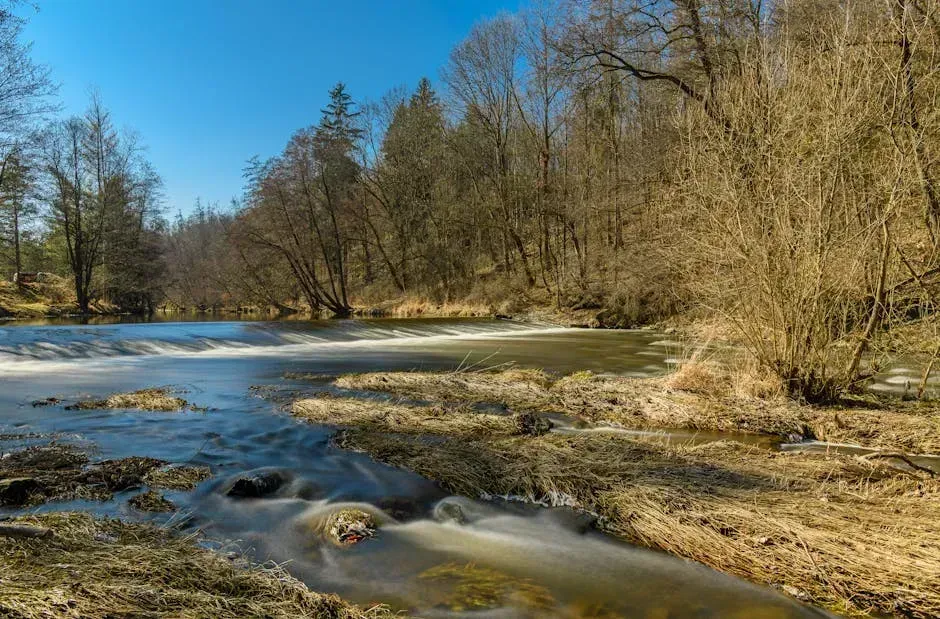
The nation’s rivers and streams are a priceless resource, but pollution from urban and agricultural areas poses a significant ongoing threat to water quality. Since the passage of the Clean Water Act in 1972, federal, state, and local governments have invested billions of dollars to reduce pollution entering streams and rivers. Progress has been real in places – yet the overall picture remains difficult.
Pollution can come from a variety of sources, including contaminated runoff from city streets and farm fields, sewage overflows, forever chemicals known as PFAS, and toxic waste from industrial activities. The rivers on this list have one thing in common: they’ve been shielded from most of those sources, whether through remote geography, federal designation, or both. Fewer than 14,000 miles – less than 0.5 percent of all the river miles in the United States – are protected as Wild and Scenic Rivers. That small fraction accounts for a disproportionate share of the clean water this country still has left.
What “Clean” Actually Means in This Context
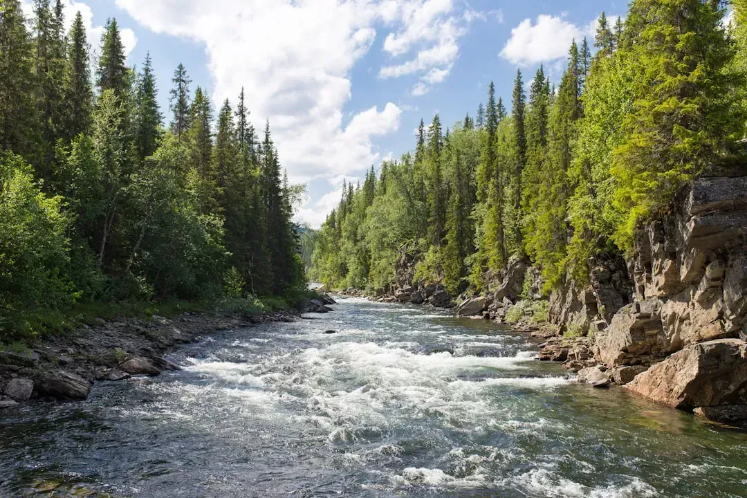
During EPA river assessments, field crews sample sites using standardized procedures to collect data on biological, chemical, physical, and human health indicators, with measured values compared to benchmarks to assess river and stream condition. Cleanliness is never a single number – it’s a combination of dissolved oxygen, nutrient levels, sediment load, biological health, and contaminant presence. A river can look clean and still carry elevated nitrates. A river can run through agricultural land and still have a healthy fish community.
Wild and Scenic River designations help protect biodiversity and increase resilience to the impacts of climate change. The Bureau of Land Management works cooperatively with the EPA and state water quality agencies to establish baseline conditions, identify water-quality issues, and develop strategies to improve or protect water quality on designated rivers. The rivers featured here don’t just look clean on the surface. They score well across multiple dimensions of ecological health – and that’s a distinction worth understanding before the list gets any shorter.
