


- The Planet Where It Rains Liquid Glass – 7 Alien Worlds Defying Known Physics - November 14, 2026
- Stars Consuming Entire Worlds – 6 Planetary Systems Swallowing Their Own Worlds - November 14, 2026
- The Ground Liquefies Like Water – 6 Silent Fault Lines Geologists Watch Closely - November 14, 2026
Flooding remains one of the most common and costly natural disasters across the United States, shaped by everything from coastal storms to river systems and heavy rainfall patterns. Some states face repeated threats that disrupt communities year after year, while others sit in drier regions where such events stay rare. Recent data through 2026 highlights clear differences based on geography, elevation, and climate trends.
Understanding these variations helps residents and planners prepare more effectively. Factors like sea level rise and changing weather patterns continue to influence risk levels in vulnerable areas. Meanwhile, certain inland and arid states maintain notably lower exposure overall.
Florida
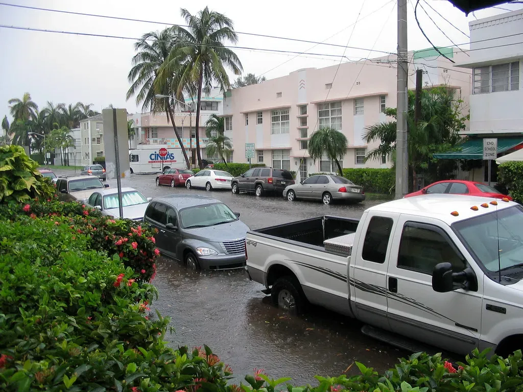
Florida leads many lists of flood-prone states due to its extensive coastline and low elevation. The state experiences frequent threats from hurricanes and tropical storms that bring heavy rain and storm surge. Nearly 2.5 million residents live in areas prone to regular flooding, according to recent assessments. Porous limestone geology also allows water to rise from below during high tides.
Sea level rise has compounded these challenges in recent years. Miami Beach alone pumps millions of gallons of water daily to keep streets clear. Insurance data shows Florida with one of the largest protection gaps in the nation. Communities continue to invest in resilience measures amid ongoing climate shifts.
Louisiana
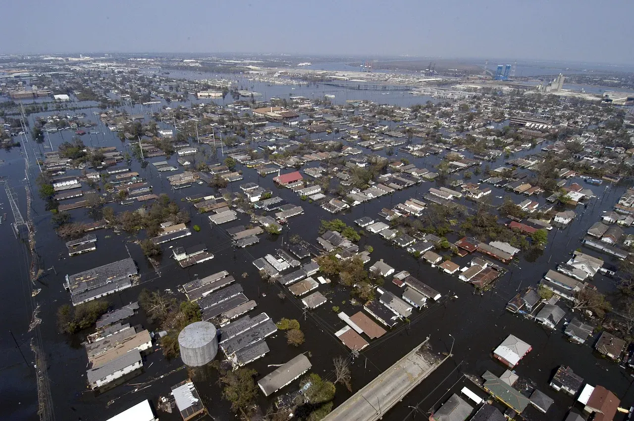
Louisiana ranks among the highest for flood risk because much of its land sits at or below sea level. Coastal erosion and subsidence cause the state to lose significant ground each year. Hurricanes and Mississippi River flooding add to the threats that affect both urban and rural areas. Recent projections indicate flood risk could rise sharply by 2050.
Land loss happens at a rapid pace, with football field-sized areas disappearing regularly. New Orleans and surrounding parishes have seen repeated major events that strain infrastructure. Federal flood insurance participation remains critical yet incomplete in many spots. Residents often balance historic ties to the land with practical safety considerations.
Texas
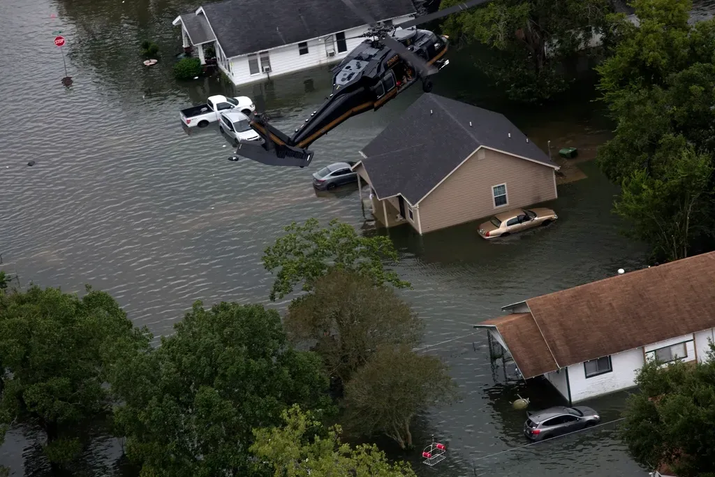
Texas faces substantial flooding from its long Gulf Coast and extensive river networks. Hurricanes like Harvey demonstrated how quickly urban areas such as Houston can become overwhelmed. Flash floods in hill country and heavy rainfall events occur with some regularity. The state records high numbers of federal disaster declarations tied to water events.
Population growth in flood-vulnerable zones has increased exposure over the past decade. Insurance claims data reflects billions in losses during major storms. Inland counties also deal with river overflow during prolonged wet periods. Planning efforts focus on improved drainage and early warning systems.
New Jersey
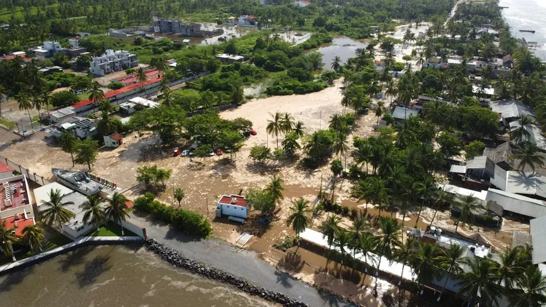
New Jersey contends with coastal flooding along the Atlantic and risks from nor’easters that bring intense rainfall. Dense population centers near waterways heighten the potential impact of any major event. Recent years have seen repeated instances of urban and suburban flooding. Projections show continued increases in risk through mid-century.
Storm surge remains a primary concern for shoreline communities. Inland areas experience flash flooding when heavy rains overwhelm drainage. Insurance coverage gaps persist despite awareness campaigns. Local governments have updated maps and building codes in response to past incidents.
North Carolina
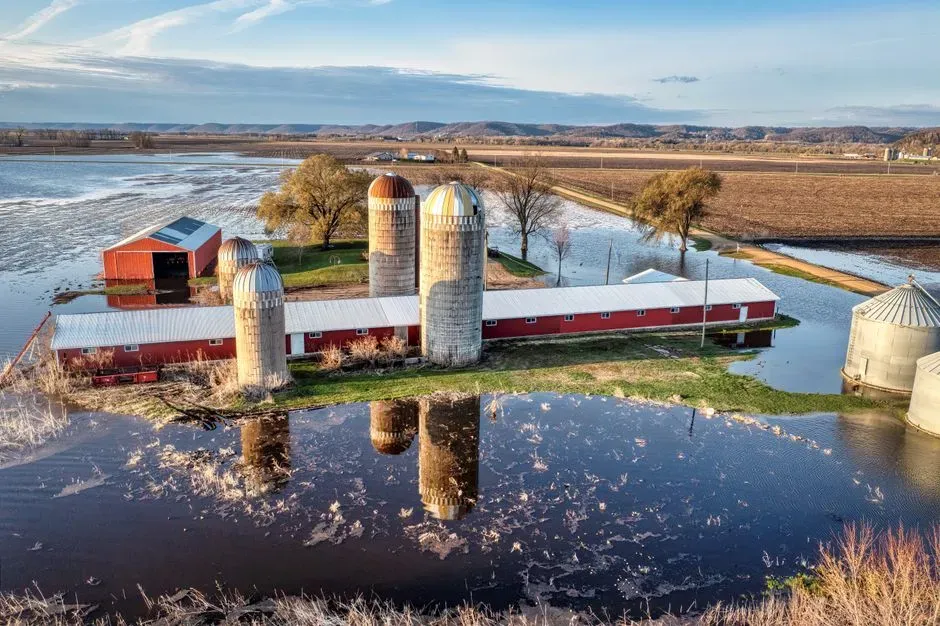
North Carolina deals with flooding from hurricanes, storm surge on the coast, and mountain flash floods. The state has experienced significant events that affect both eastern lowlands and western terrain. River systems contribute to prolonged inundation during wet seasons. Data through 2026 shows notable exposure outside traditional high-risk zones.
Coastal counties face repeated threats from tropical systems. Inland flooding has grown more common with changing rainfall patterns. Recovery efforts often span multiple years after major storms. Residents in rural areas sometimes rely on community networks for support during crises.
South Carolina
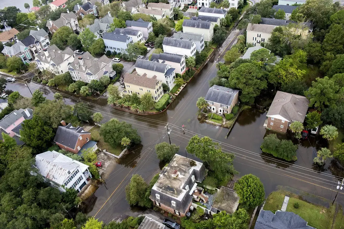
South Carolina experiences coastal floods and inland flash flooding tied to its position along the Atlantic. Hurricanes and tropical storms deliver heavy precipitation that strains low-lying areas. Recent assessments place it among states with rising flood risk. The combination of flat coastal plains and river valleys creates multiple pathways for water issues.
Charleston and surrounding regions have dealt with sunny day flooding in addition to storm events. Insurance data highlights gaps in coverage for many properties. State and local officials promote elevation requirements for new construction. Tourism areas balance economic needs with safety planning.
Mississippi
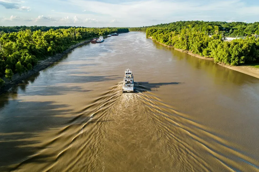
Mississippi contends with Gulf storms and Mississippi River flooding that affect large portions of the state. Low-lying areas near the coast and along major waterways see repeated inundation. Federal data shows consistent disaster declarations related to water events. The state’s geography leaves it exposed during both tropical and inland weather patterns.
Heavy rainfall can quickly overwhelm drainage in agricultural and urban zones alike. Recovery from major floods often requires extended federal assistance. Communities work on levee maintenance and wetland restoration projects. Awareness of personal flood insurance remains an ongoing focus.
Nevada
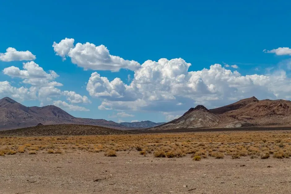
Nevada stands out for its low incidence of flooding thanks to its arid desert climate. Annual rainfall stays minimal across most of the state, limiting opportunities for widespread water events. Federal records show far fewer flood declarations compared to coastal or river-heavy regions. Flash floods can occur in mountainous spots during rare intense storms, yet overall exposure remains limited.
Urban centers like Las Vegas rely on engineered drainage to handle occasional downpours. Insurance penetration stays low because risk assessments reflect the dry conditions. Residents generally focus more on drought preparedness than flood concerns. The state’s topography helps channel water away from populated areas in most cases.
Arizona
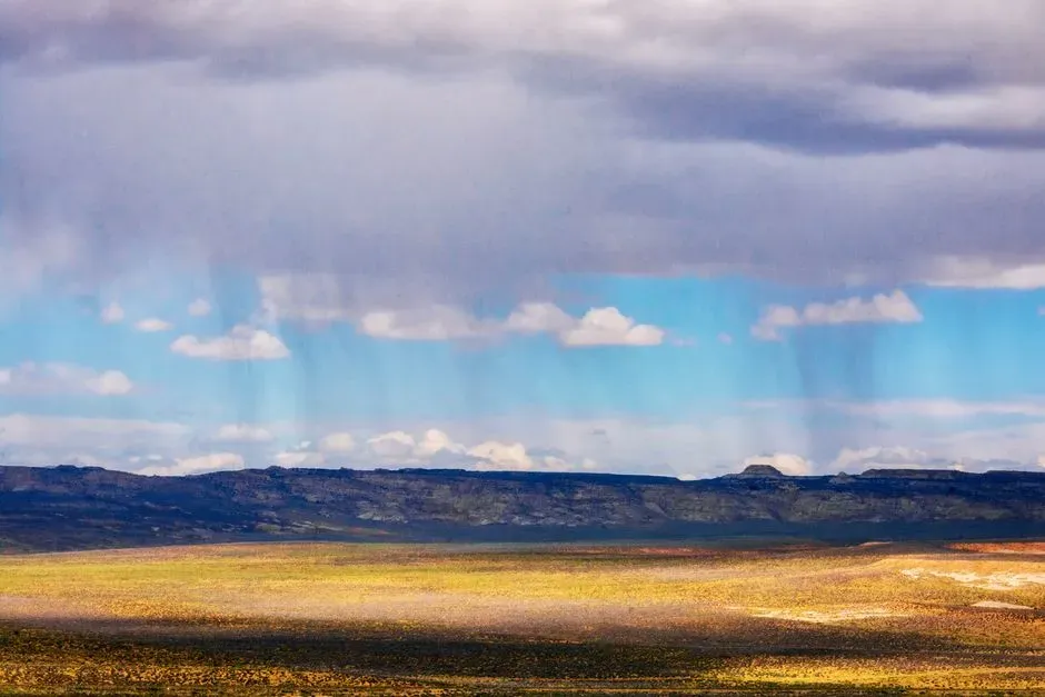
Arizona experiences infrequent flooding due to its predominantly dry landscape and monsoon patterns that rarely produce widespread issues. Most areas receive limited precipitation, keeping major water events uncommon. Data from recent decades places it among states with lower flood counts. Desert terrain allows rapid absorption or runoff in many locations.
Flash flooding can happen in canyons and washes during summer storms, yet populated zones see less impact. Insurance needs remain modest outside specific low-lying developments. Planning emphasizes water conservation alongside occasional stormwater management. The overall climate supports a lower priority on flood defenses.
Utah
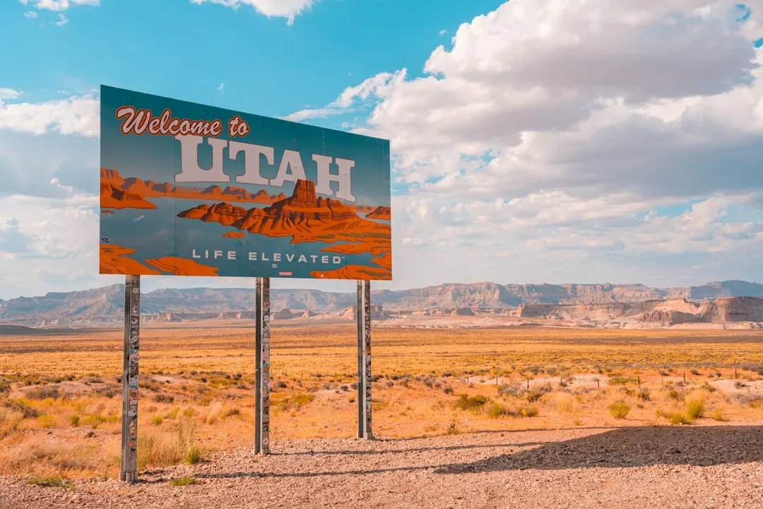
Utah maintains a low profile for flooding because of its high desert environment and limited rainfall in most regions. Snowmelt contributes to some river activity, but widespread inundation stays rare. Recent statistics show fewer federal flood emergencies than in wetter states. Mountainous areas occasionally see localized issues, yet broad exposure stays minimal.
Communities in the Salt Lake Valley benefit from natural drainage patterns. Insurance coverage rates reflect the lower perceived risk. Residents often prepare for drought and wildfire more than water overflow. The state’s geography and climate combine to keep flooding concerns secondary for most households.
Conclusion
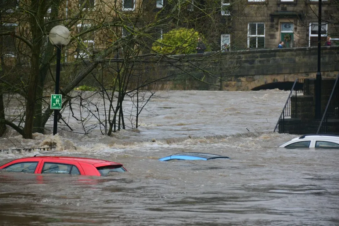
Geography and climate create stark contrasts in flood exposure across America. States along coasts and major rivers invest heavily in preparation, while arid interiors focus elsewhere. Ongoing changes in weather patterns may shift some risks over time, yet current patterns remain clear from available records.
Understanding local conditions empowers better decisions for homeowners and policymakers alike. The balance between development and natural hazards continues to evolve. In the end, awareness paired with practical steps offers the strongest defense wherever water may rise.
